
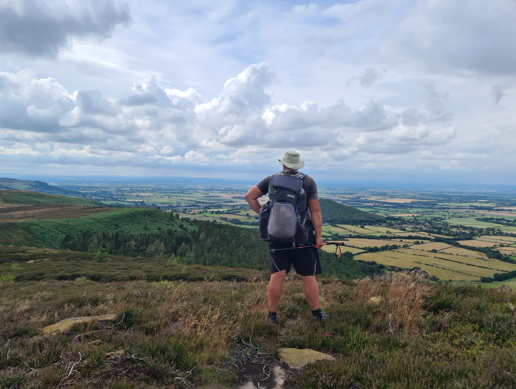
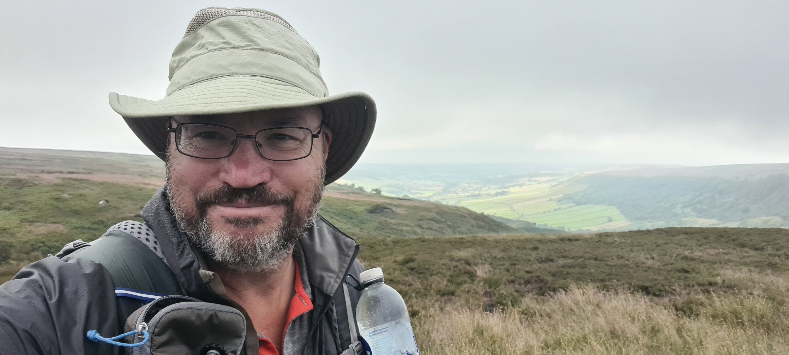
Three Points of the Compass enters the final part of a walk across northern England. The Coast to Coast climbs back up into the hills of the North York Moors, heading to Robin Hood’s Bay.
I was already familiar with a good few miles of what was to come on this last section of the Coast to Coast as it runs concurrent with the Cleveland Way National Trail, a trail I had completed back in 2019. I was looking forward to the hills and moors as it is fantastic walking country. This would be my last few days of walking across northern England. I could almost smell the sea.
- Cleveland Way- Days 1 to 3, Helmsley to Margrove Park
- Cleveland Way- Days 4 to 7, Margrove Park to Filey
- Days 8 to 10. The Tabular Hills Walk, the return to Helmsley
Day thirteen: Osmotherley to Broughton Plantation (wildcamp)
I didn’t sleep well. While the faint sound of the nearby stream obscured any noise that might have emanated from the nearby larger campsite, I was pitched on a slightly sloping patch of ground which had me constantly sliding off to one side combined with my mat slowly deflated over the night, requiring reinflating three times. Looks like another repair is required. I had other worries. My journal reminds me of my thoughts that morning:
“mat slowly deflating overnight made using these weary bones even more onerous. I am v. much enjoying this trail but cannot shake off this general feeling of tiredness. Is it my cold affecting me, or am I just getting old!”
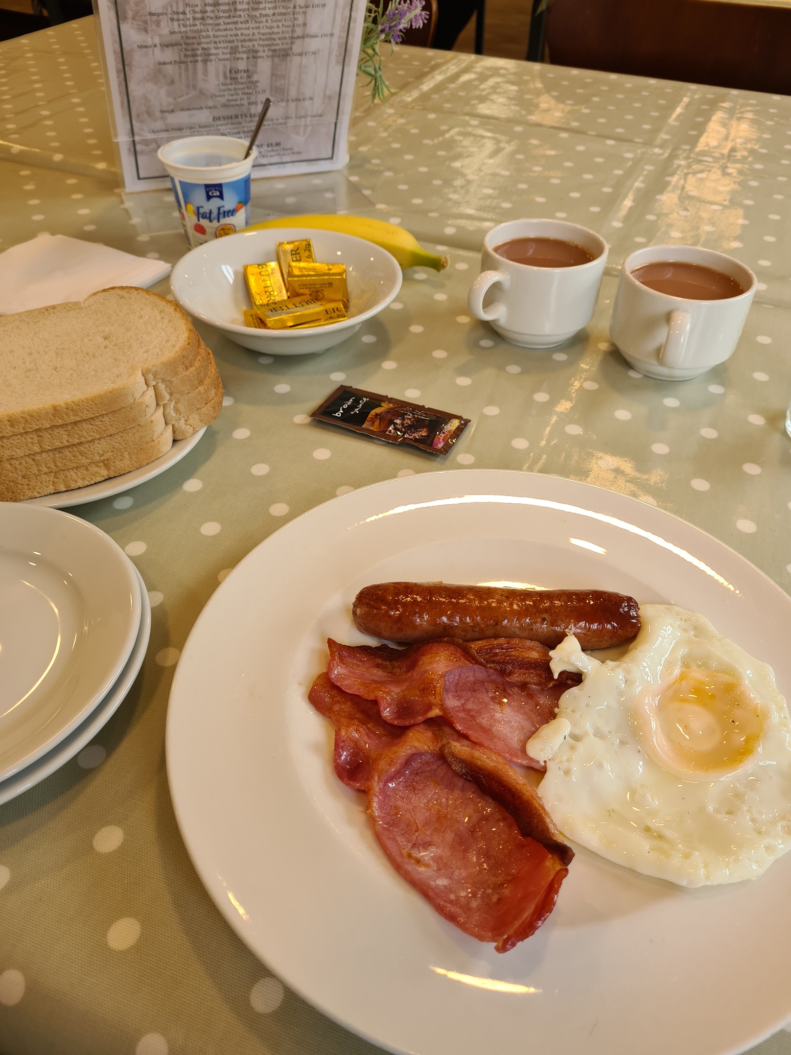
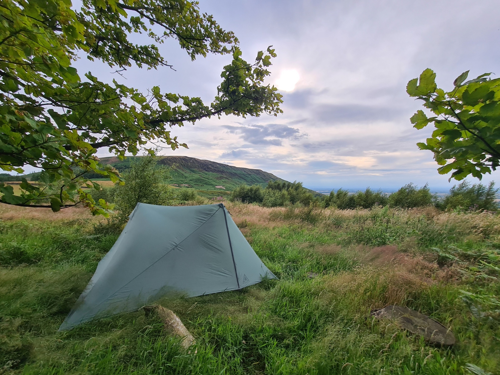
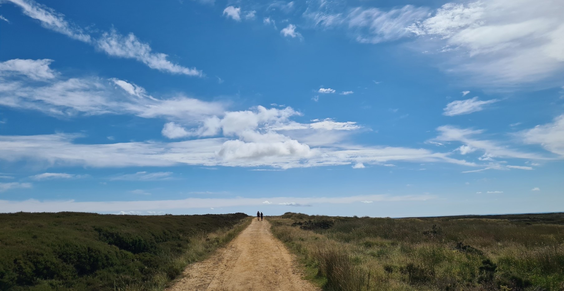
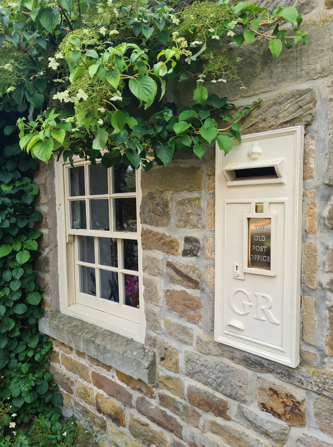
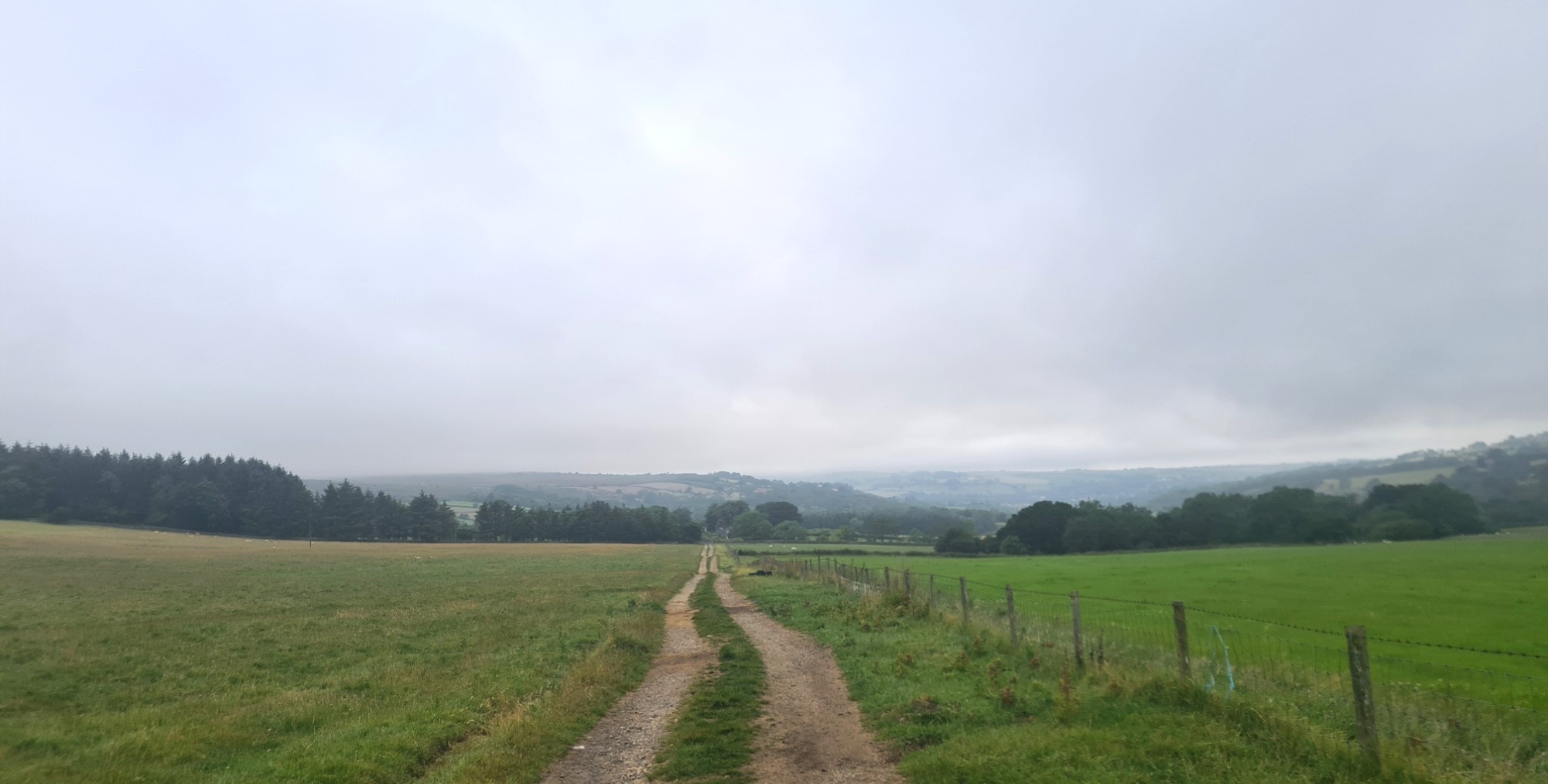
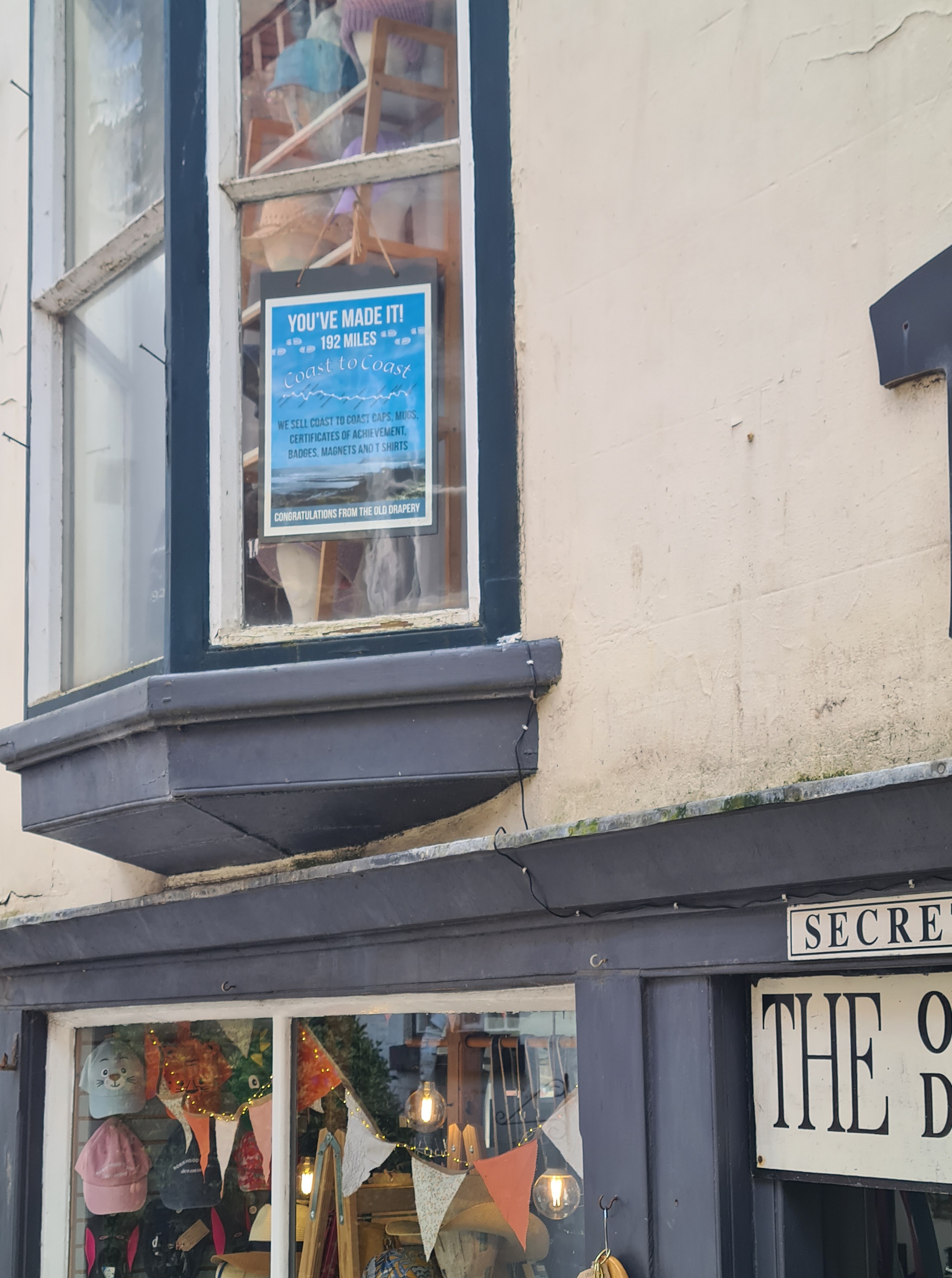
I was in absolutely no rush today as I planned on wildcamping tonight and it is a short section I had in mind. I had a bit of a sort out of the food I had and took the meat with me when I walked up for breakfast in the mill, chucking it in a bin on the way. It had been far too warm recently and I wasn’t going to risk it. While I had paid for Full English, I just selected enough to fill a couple of sandwiches. Returning to the tent, I attempted to rest, trying to shake off my weariness but the families and children from the neighbouring campsite were constantly streaming past my tent and the noise was frustratingly constant and loud so I eventually gave up and packed up. Instead finding a quiet corner by the mill to sit, read and kill time prior to eventually setting off a little before midday. There is a BT service road that took me gently up the incline to rejoin the trail on Beacon Hill. It was the slowest of slow walks as I had very few miles to complete.
It was just as well I was in no great hurry, as it was in the thirties. It was a lovely walk on good paths, dry underfoot, wide views and few people. What’s not to like! Even with my late start and ambling gait I was still on the slopes above Lordstones by 15.30.

I sat on the sunny slopes overlooking Lordstones for quite some time, making a couple of brews and snacking, simply enjoying the fine weather and view. I had time to kill as I was wildcamping tonight and didn’t want to arrive at the place I had in mind and appear too obvious to any walkers out enjoying the hills in the early evening. Particularly as the pale green Durston is not the most inconspicuous of tents. I could see small groups were walking out of the campsite at Lordstones below me. I might have been tempted to stay there myself as I have in the past when I walked the Cleveland Way. But the owners have since moved upmarket and are simply not interested in providing simple pitches for one-nighters on the Coast to Coast. There was no way I was paying thirty pounds for a patch of green and a five minute shower.
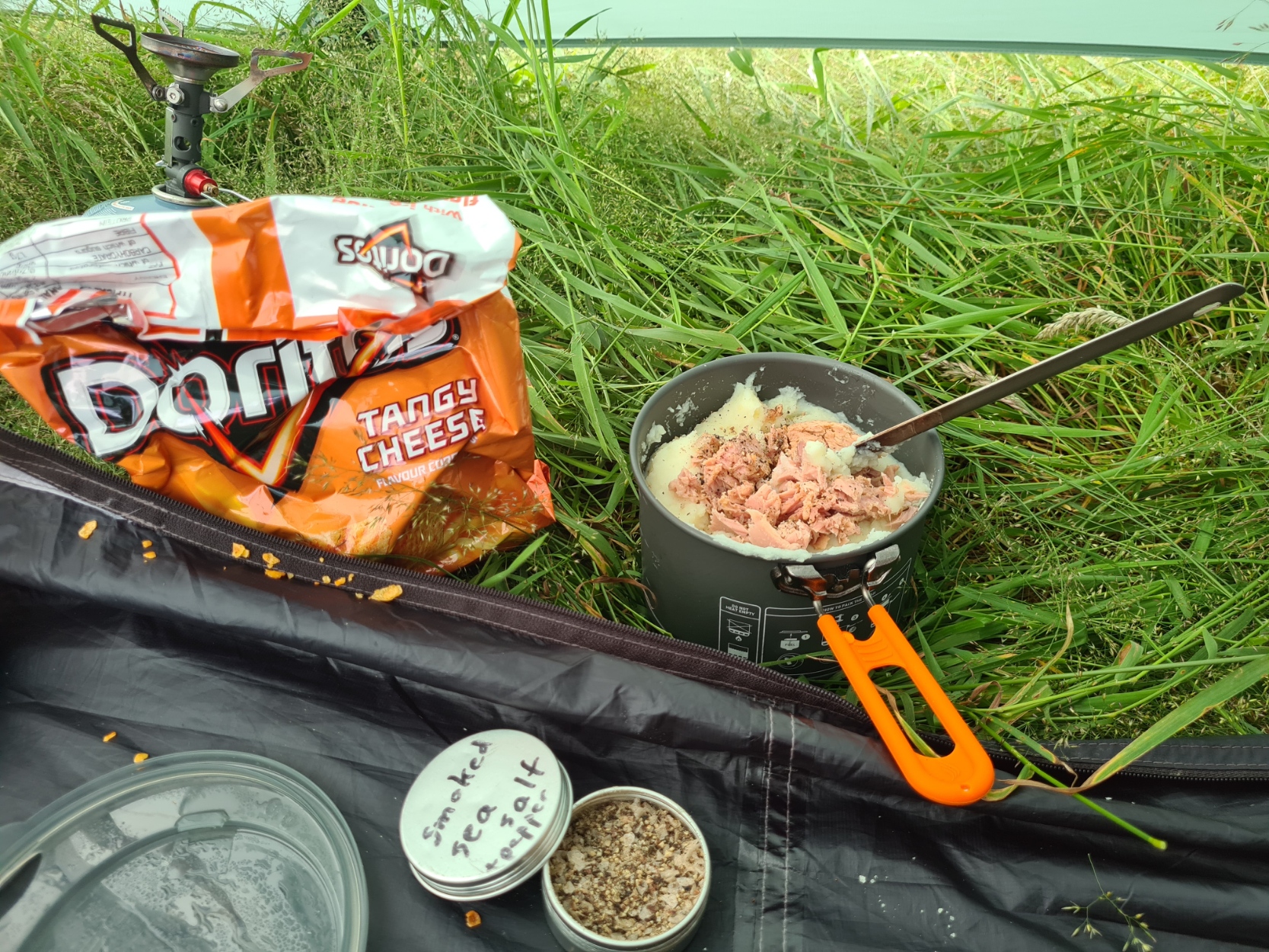
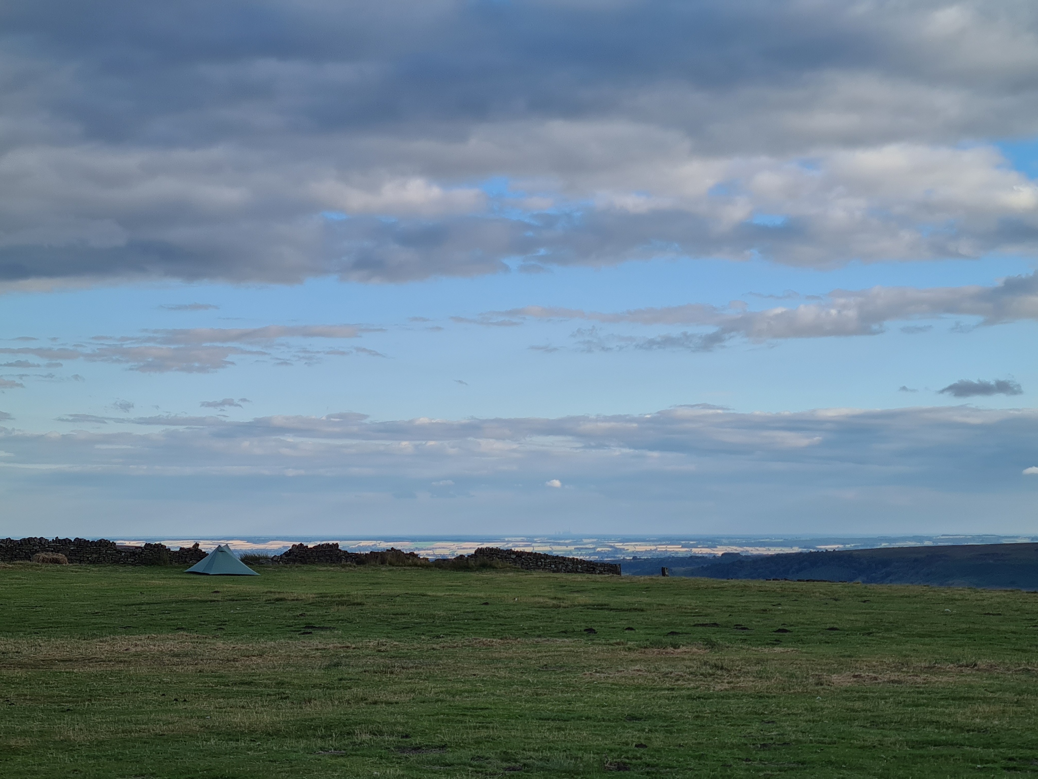
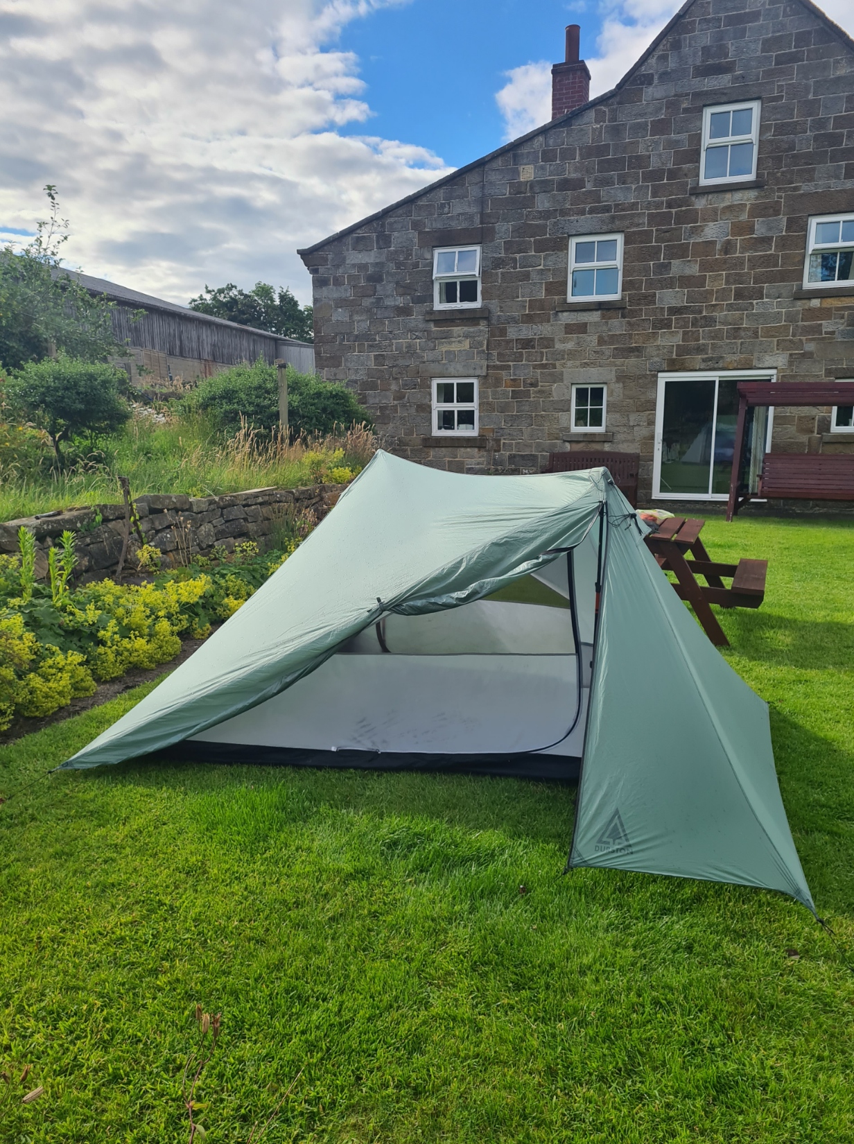
I did call into the campsite as I passed through, to use their w/c and collect a couple of litres of water. Further on, I dropped down off the hills to Broughton Plantation to look for a place to camp for the night. In a complete contrast to the dry hot settled weather of earlier, it was getting pretty breezy and rain was on the way, so I was pleased to find somewhere that was flat enough and also supplied a bit of shelter. I stripped off for the best tent wash I could manage, carrying out both tick check and foot massage at the same time. followed by another brew then a simple evening meal of basic carbohydrates and protein. It had been a good if very short day.
Day fourteen: Broughton Plantation to Blakey Ridge (Lion Inn)
There had been a bit of rain during the night but the wind swung round completely, in my favour, and a nearby tree gave almost complete shelter from it. As a result, I slept quite well, only (!) had to reinflate the mat once, and I woke to bright sunlight. I packed while I had a large mug of tea and a banana (snaffled from yesterdays breakfast) and was away ‘not that early’.
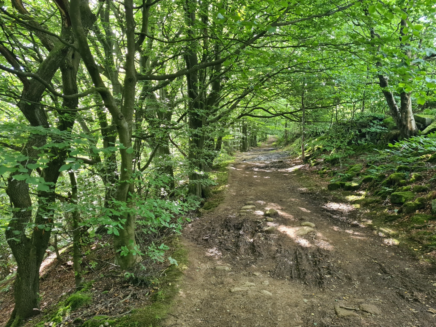
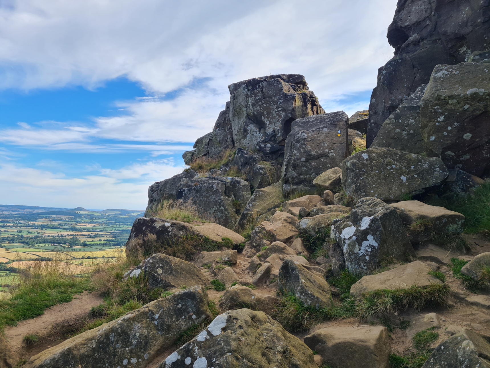
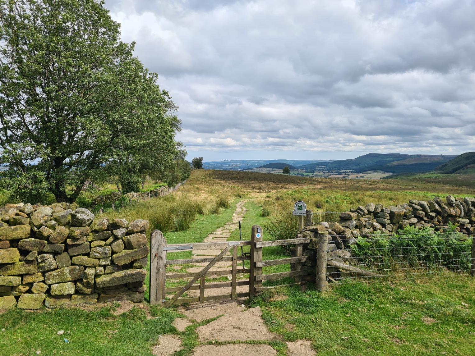
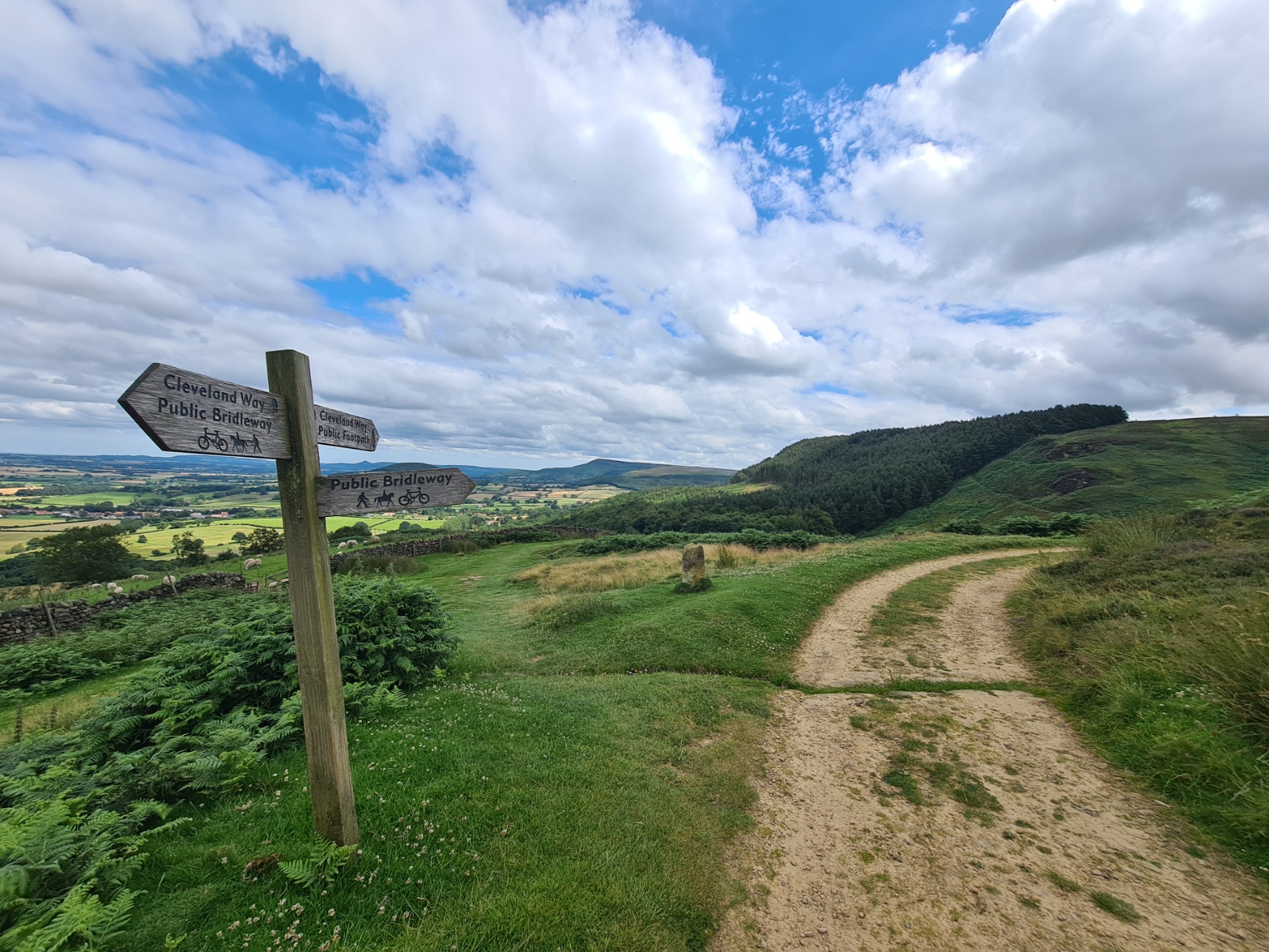
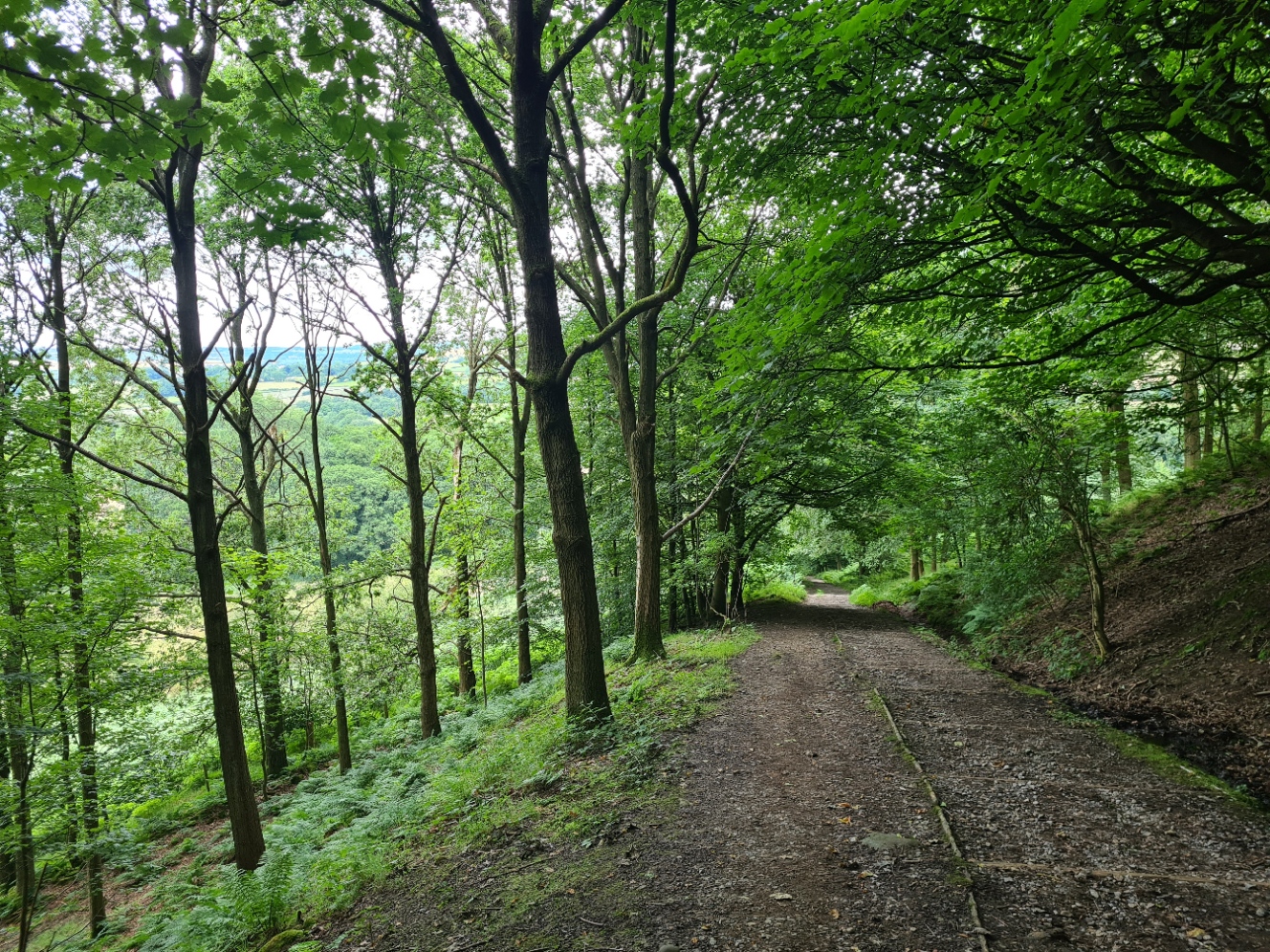
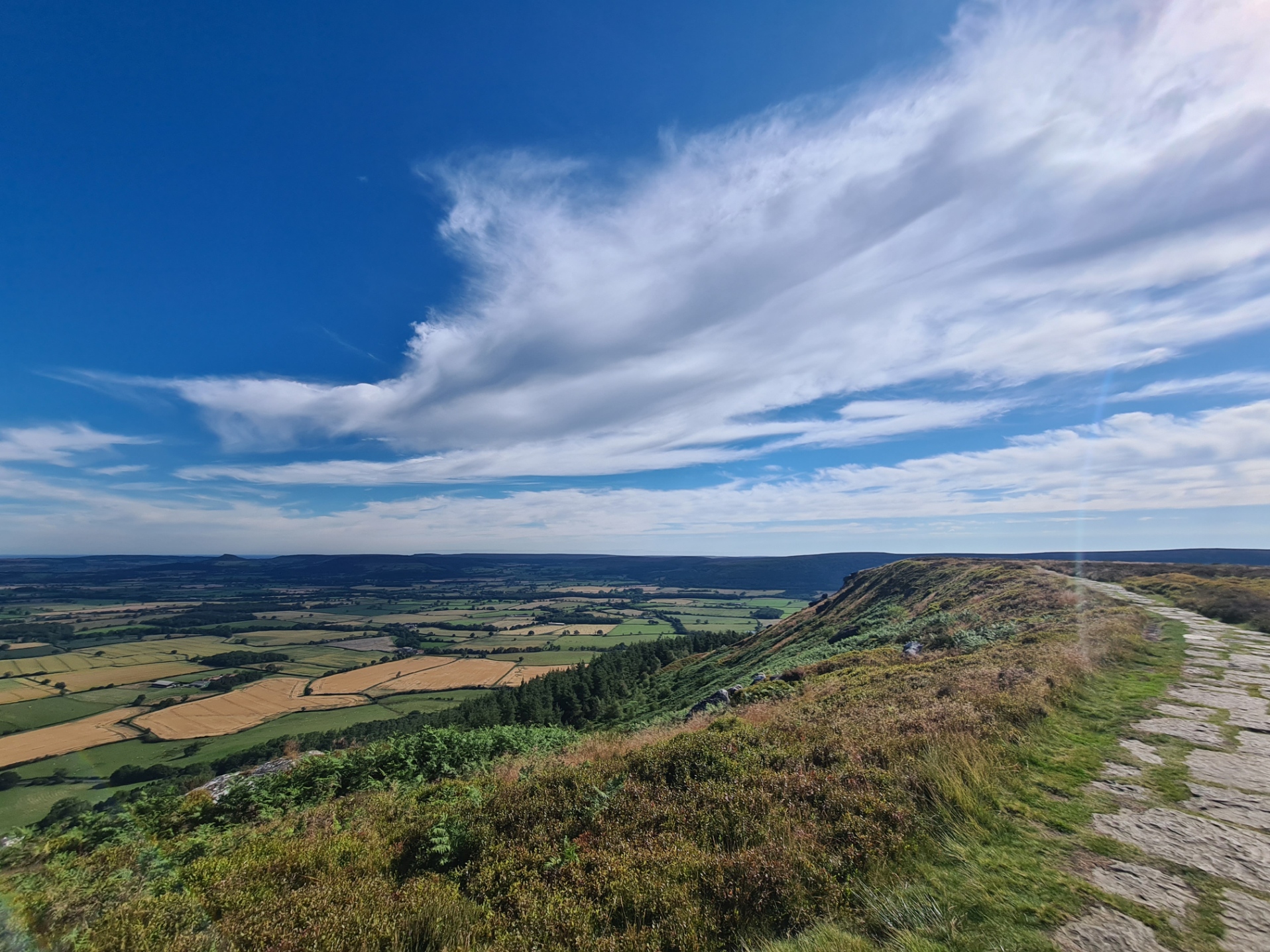
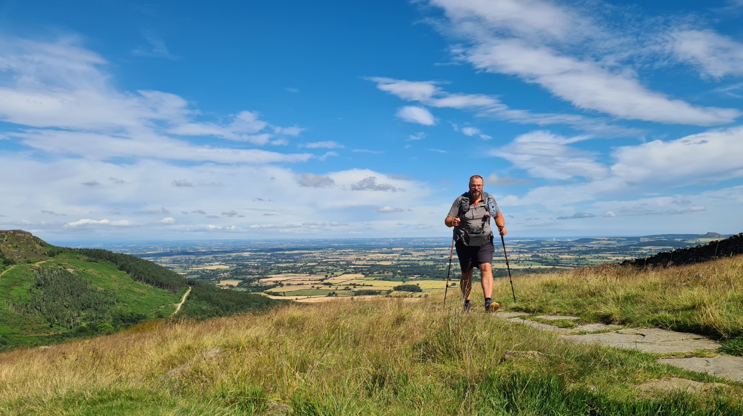
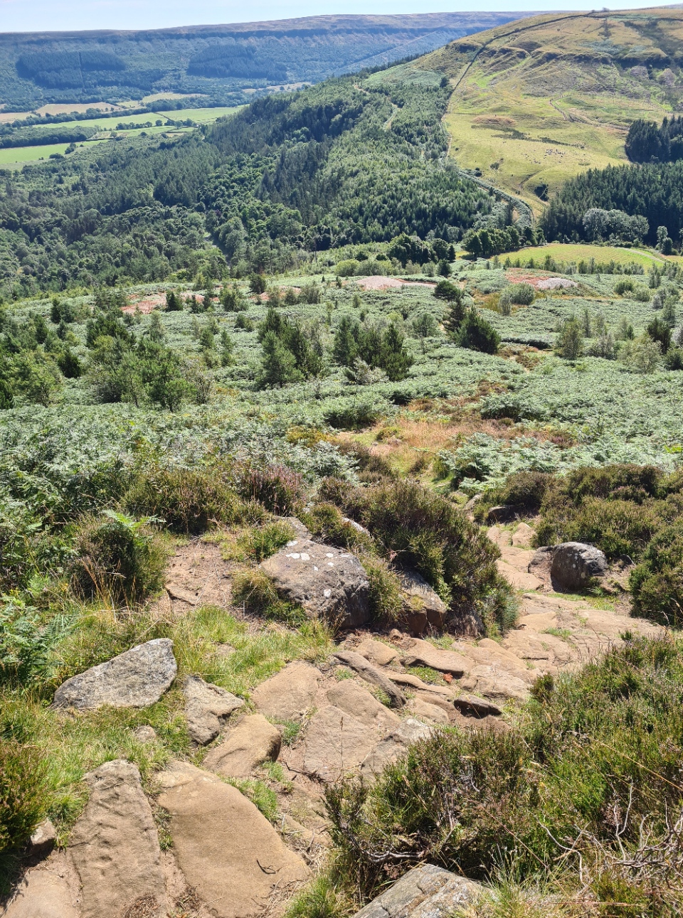
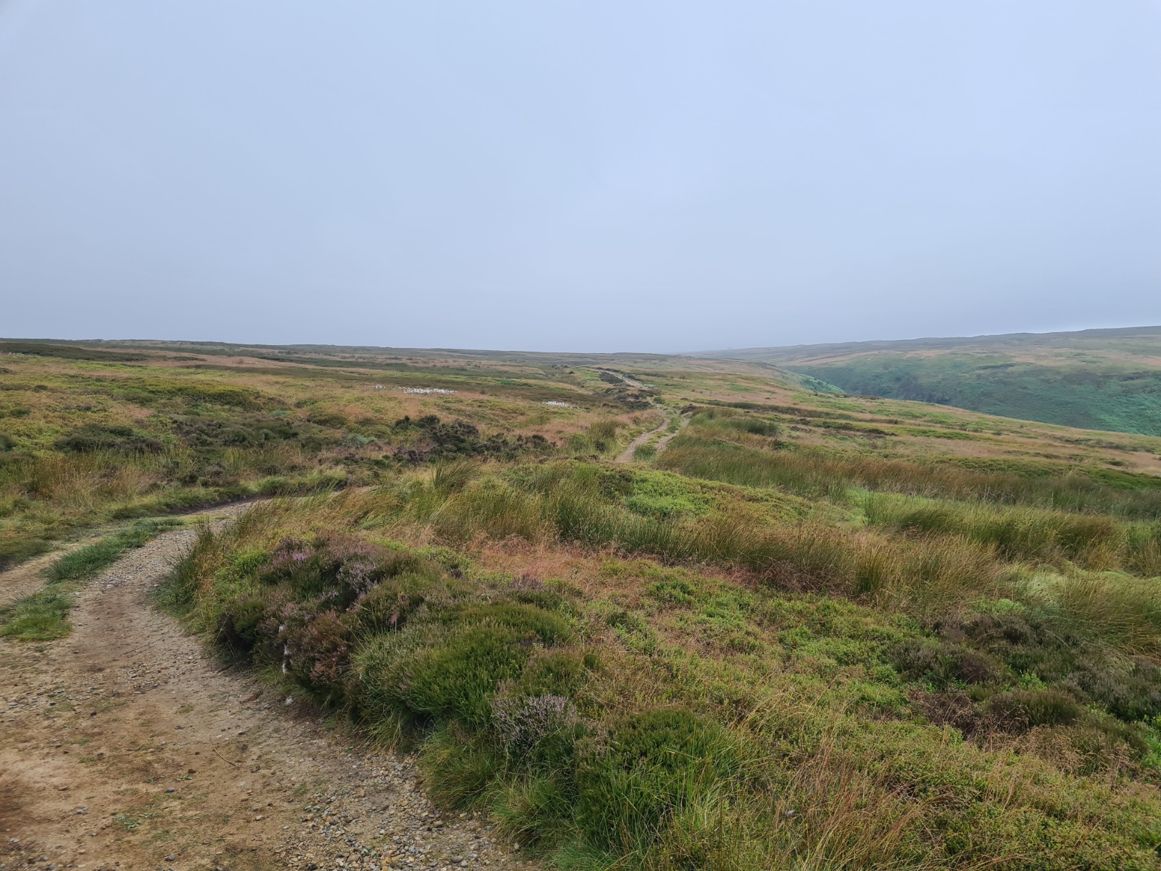
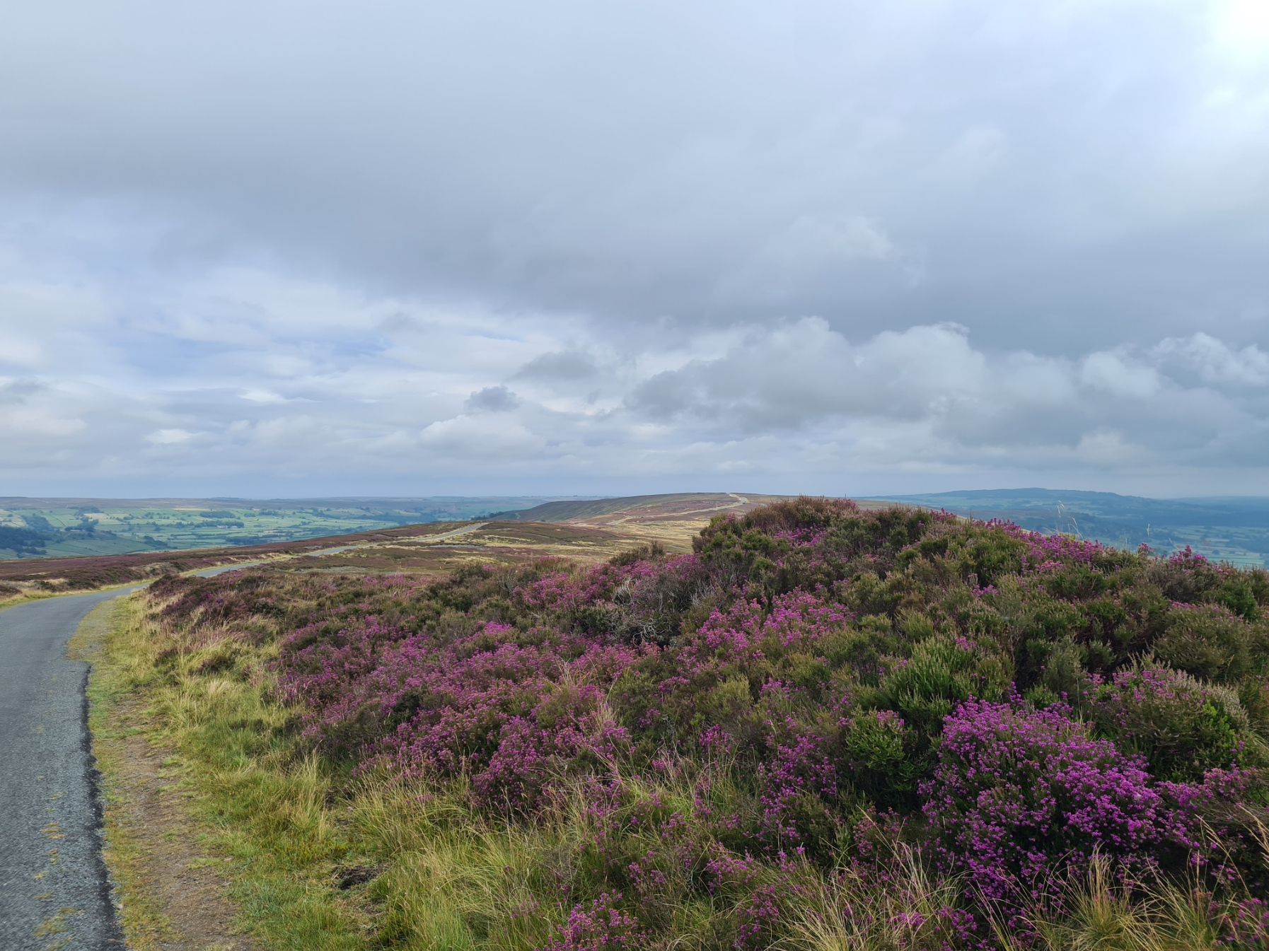
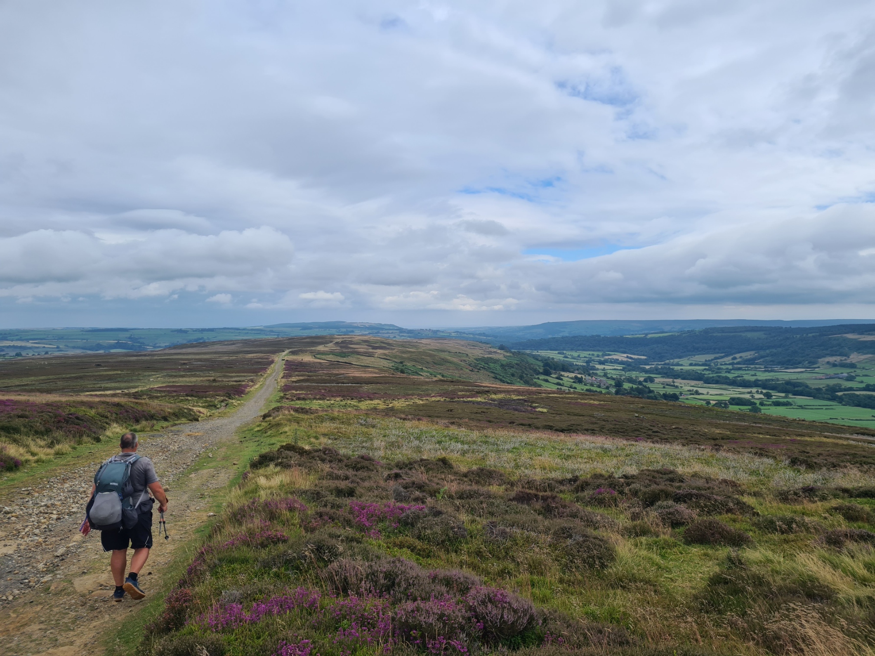
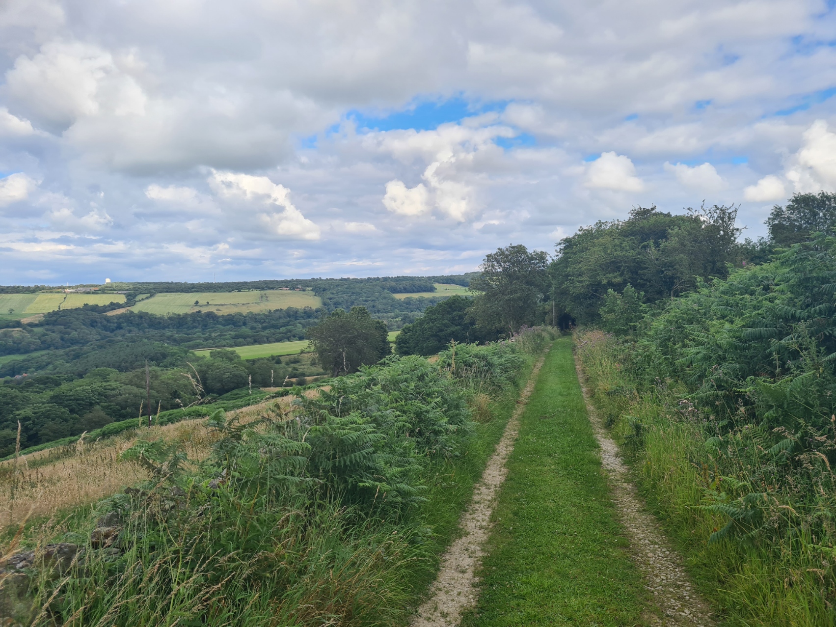
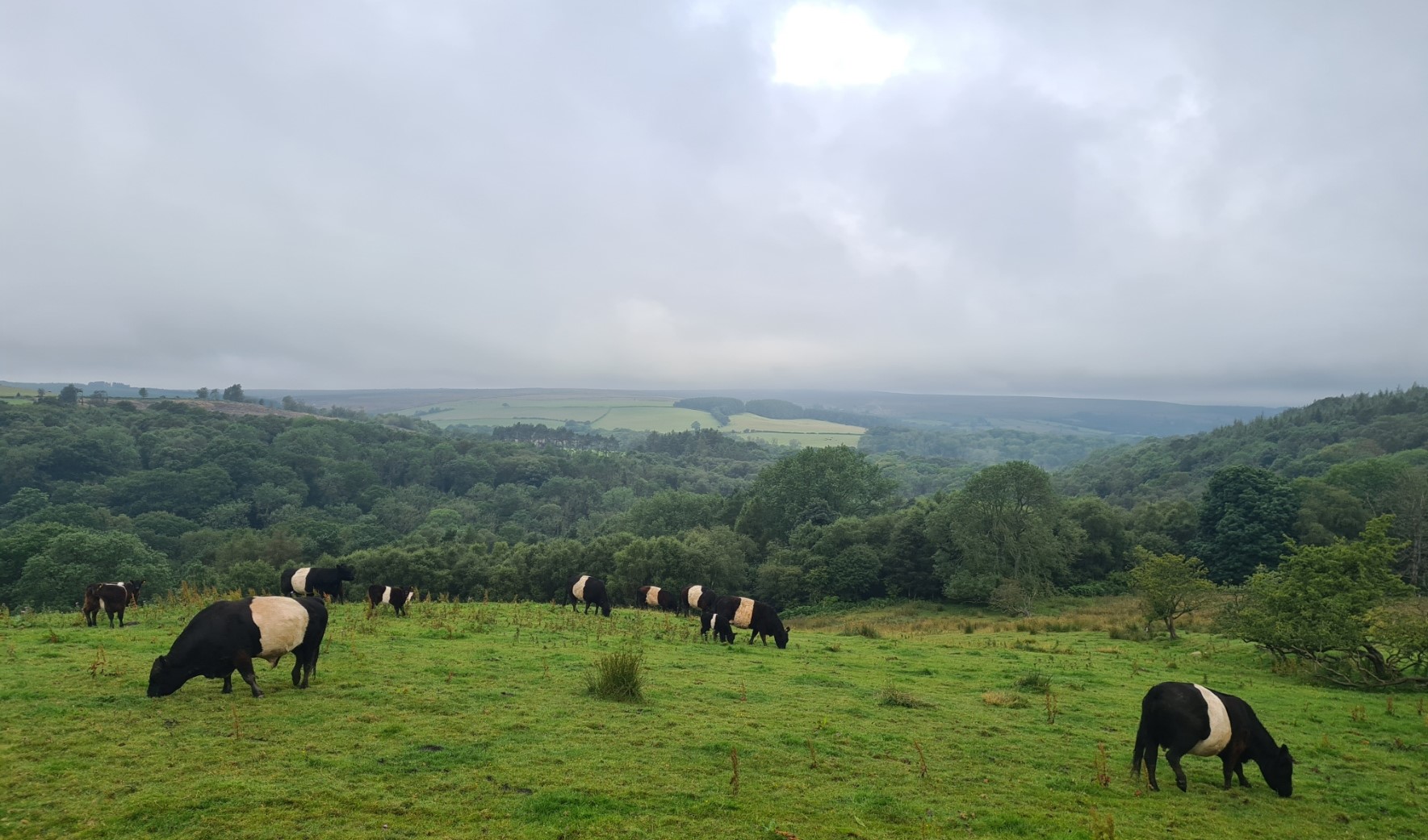
After a short stretch of shady woodland walking it was back up on to the hills, and the start of a lovely day’s hike. Moors, wide easy paths, ups and downs, views to a distant coast, even a return to the Wainstones for photo opportunities. Ridge walking, barely a soul about. It was easily the best tread of the entire C2C. Demonstrating what the injection of money for the Cleveland Way can do for a path. Hopefully the same will be realised for the remainder of the Coast to Coast. Eventually the Cleveland Way wandered off over the moors in one direction and the Coast to Coast went another.
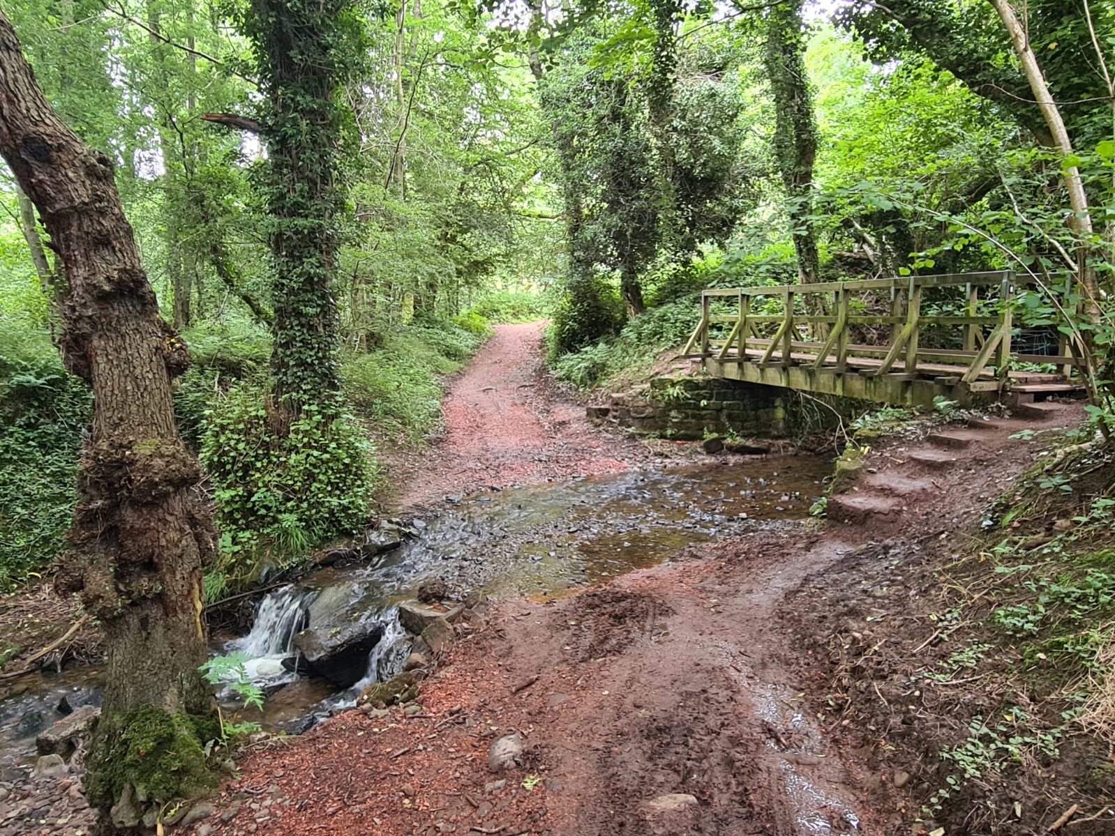
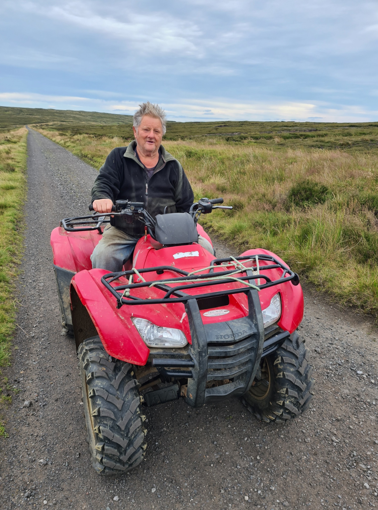
If the path had been good before, it now improved even more. I was following the track of the former Rosedale Ironstone Railway, that barely changed in height as it followed the contours in wide looping fashion. At one point a chap on a quad bike roared up. He switched off his engine and Don Weldon and I put the world to rights for a half hour or so. He is a retired farmer and occasionally climbs aboard his Honda 4×4 just for a ride “to see what’s aboot”. Now suffering badly from arthritis, he would probably be housebound without his machine.
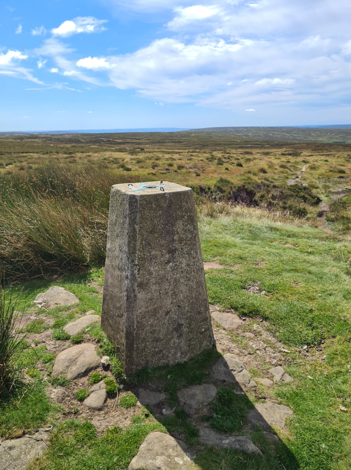
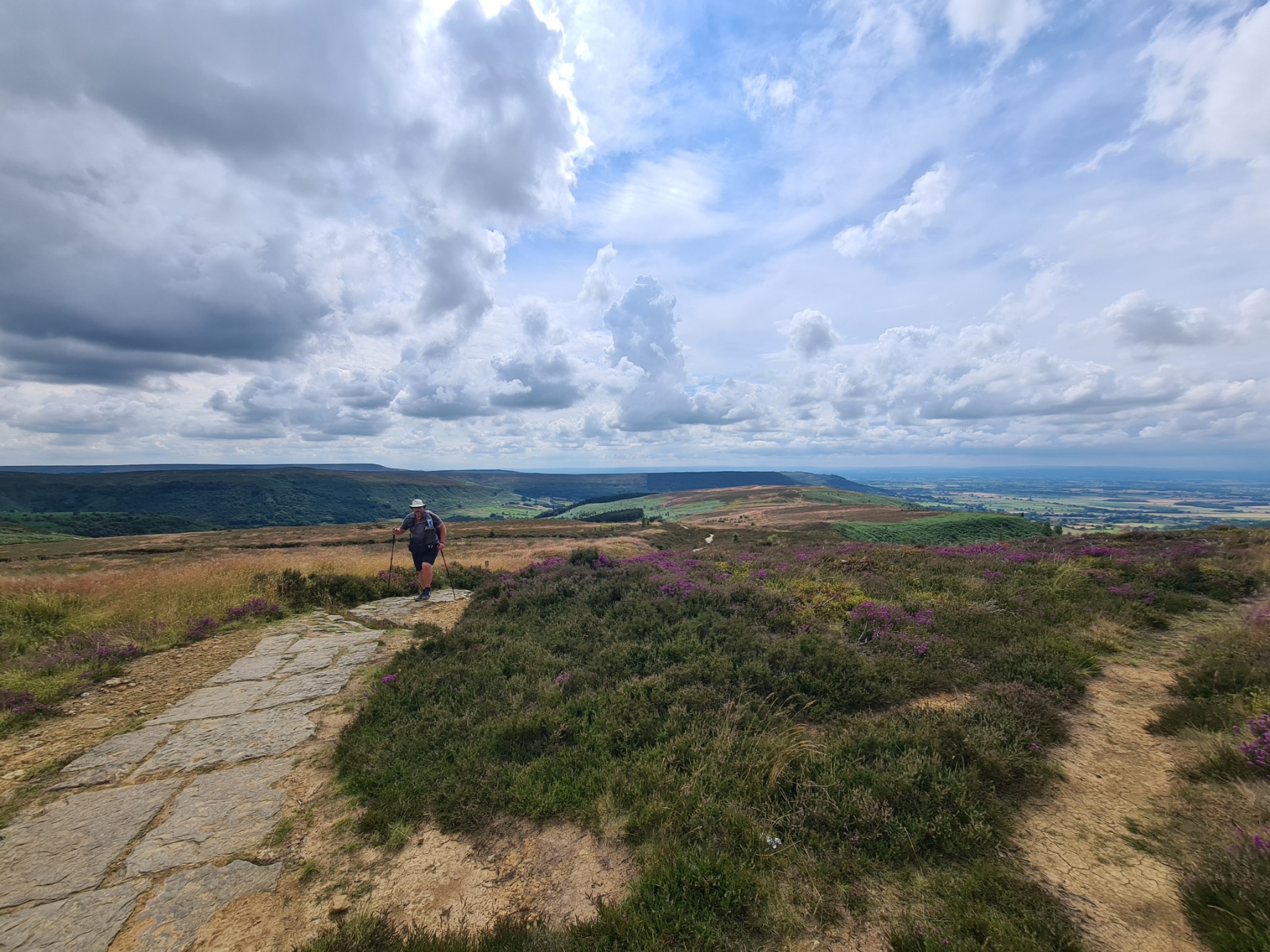
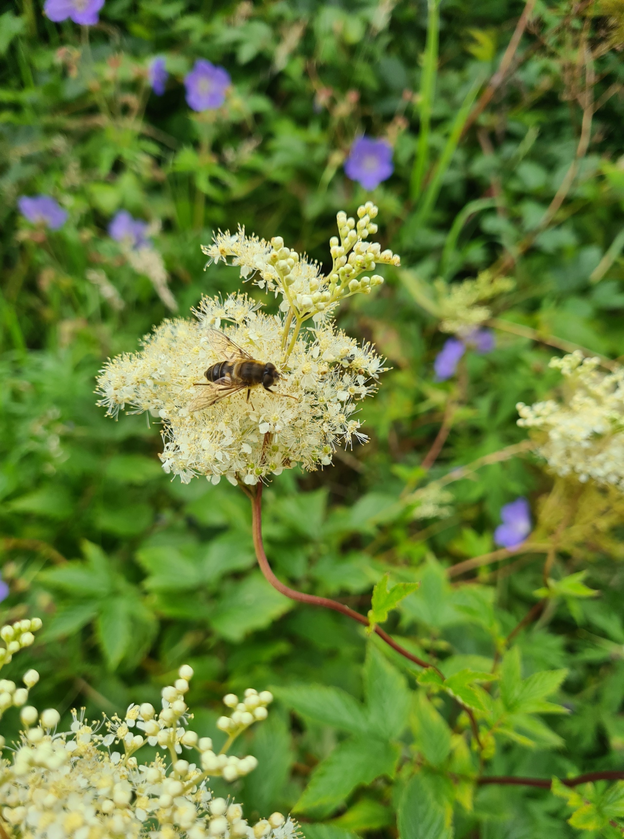
Red Grouse regularly flew in to the air, frantic at my approach, Feeling better than I had in days, I bowled along in fine style. Feeling good and enjoying the fine weather on a lovely stretch of moorland walking. Even the heather was still in bloom in places, and just a few late orchids unsuccessfully hid themselves in sheltered patches of grass. I stopped to inspect the various stone boundary markers. Some had weathered etchings, a face, a hand, a… nope, cannot decipher what that is supposed to be… or that. The old track wended its way round High Blakey Moor and when I could just see buildings on the horizon to my left, and hear faint traffic, I left the path to walk up the hill. Suddenly coming to the Lion Inn, tonight’s halt. Needless to say, it is a popular place. The car park was rammed, as was the interior.
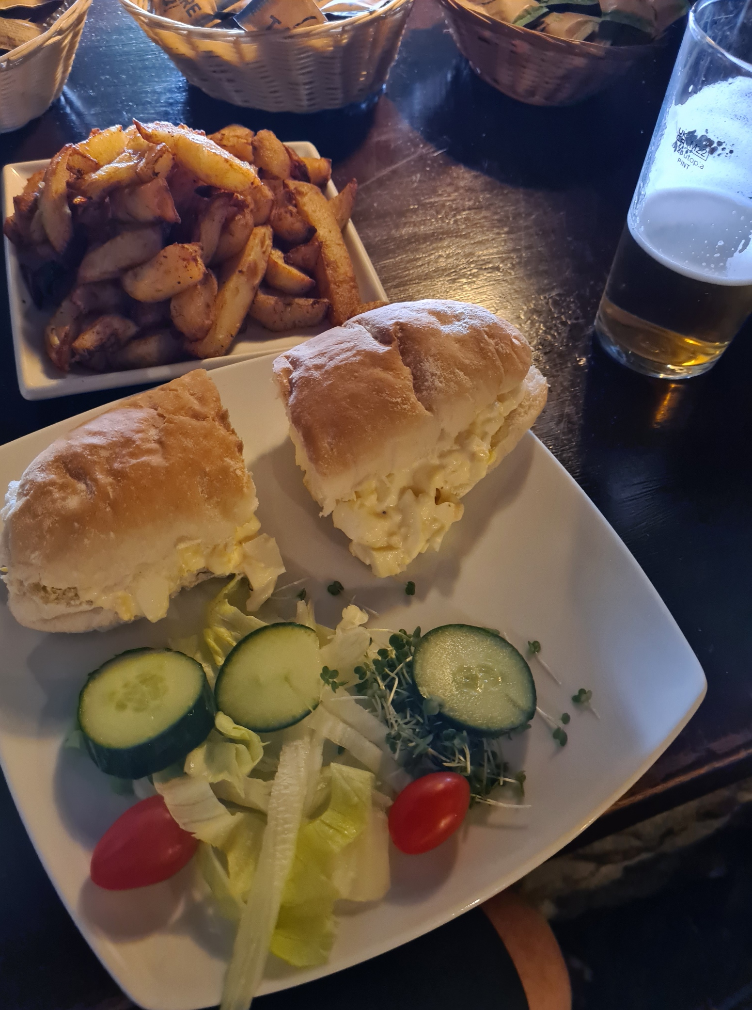
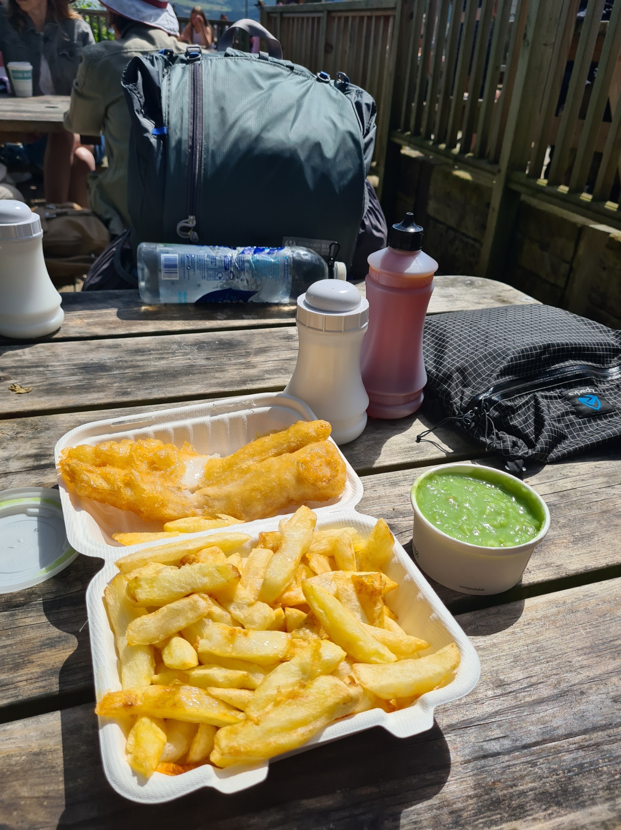
Somehow I was able to find an empty bar stool and ordered a late lunch of egg mayo roll, salad and chips, accompanied, of course, by a pint of the good stuff. A welcome Howardian Ale, 4.2%, from the Helmsley Brewery.
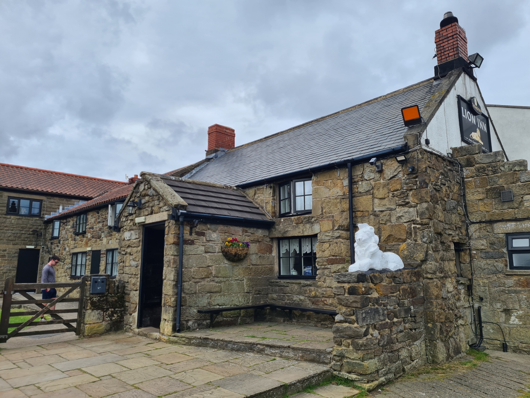
The Lion Inn is a bit of a Coast to Coast institution and I had already decided that this was my overnighter. There is a large sheep field beside the Inn and campers are welcome to pitch there. I was the only one camping tonight though quite a few C2C’ers were staying in rooms overnight.
Sadly, when I returned in the evening to eat, it was very apparent that the care taken over cellarmanship, didn’t extend to the kitchen. My ‘Roast Sunday Dinner’ was not only completely overcooked, but served on a cold plate. Apparently, according to the server, warm plates were “off“. Chatting to other diners later, everyone had the same gripe. It didn’t stop me enjoying a couple of beers and a glass or two of shiraz later, again chatting to a couple of fellow C2C’ers. It had been a lovely days hiking across some superb North York Moors. The weather had been equally as good, but the forecast was poor. It was going to change.
Day fifteen: Blakey Ridge to Littlebeck (Intake Farm)
Despite my disappointment with last nights meal, I had already booked a breakfast in the Inn and on a dreary misty morning, walked over the wet grass to be presented with a sorry excuse for a Full English. Suffice to say that much of it went uneaten. I am now not at all sure why this overnighter is so popular with backpackers, even the loos are not available until they unlock the doors for the arriving staff in the morning. Push my plate away, and back to the tent, to pack and brave the sketchy walk along the road, cars travelling far too fast for my liking in the poor conditions. If I didn’t like it, the dead lamb at the side of the road had undoubtably been even less keen.
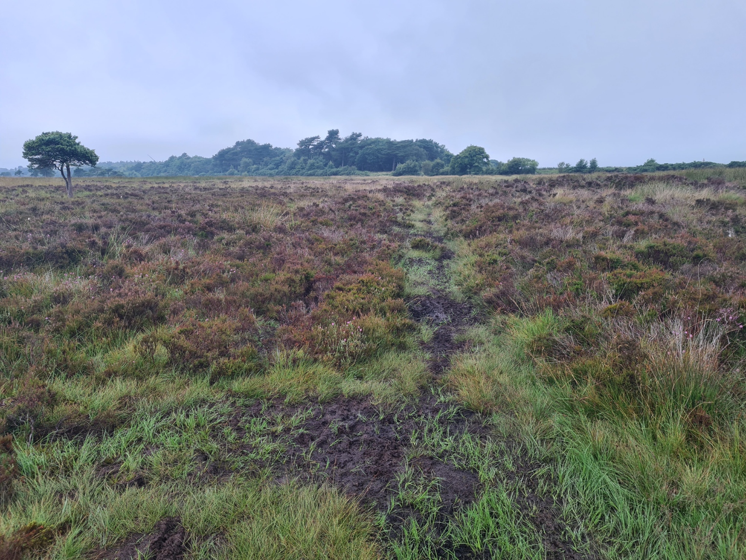
Thankfully, despite my still being in the mist and low cloud, I moved onto a quieter road with less traffic and the day began to brighten. The views gradually opened up and, if yesterdays walk had been good, today began to exceed it. From Trough House, a fairly unremarkable building that apparently deserves a name on the O.S. map, I was on a winding path/lane with views down the pretty to look at and oddly named Great Fryup Dale. I was crossing Glaisdale Moor, again, with Red Grouse aplenty. and a path that did no more than gently climb or equally as gently descend. Then there was little more than a mile of metalled walking before I joined another track that led me down into Glaisdale.
On Glaisdale Rigg I took a break. My feet had got wet crossing the sodden heather earlier and I had a suspicion that the paths were going to be dry from here-on, so took a few minutes to sit on a bank, eat a bar, with my bare feet airing and wrung out socks flapping in the breeze from the handles of my walking poles.
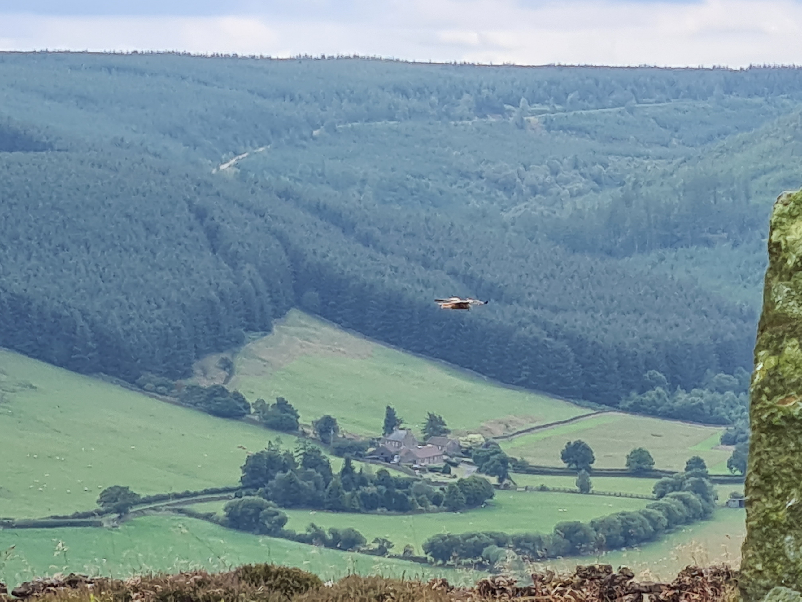
I must have looked a sorry sight to the couple of C2C’ers that passed me, each stopping briefly for a natter, each pointedly ignoring my feet. As it was, my feet were probably in better condition than when I started the walk, back at St. Bees. Nightly massaging and foot balm is more attention than they get at home. It was while sitting here, looking over the valley opposite, that I was treated to the rare sight of a male Hen Harrier drifting past. I say rare, as the records are clear, they still suffer terrible persecution in this part of the world.
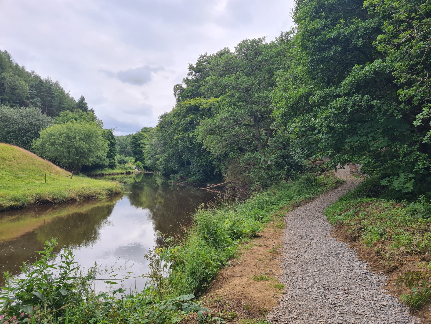
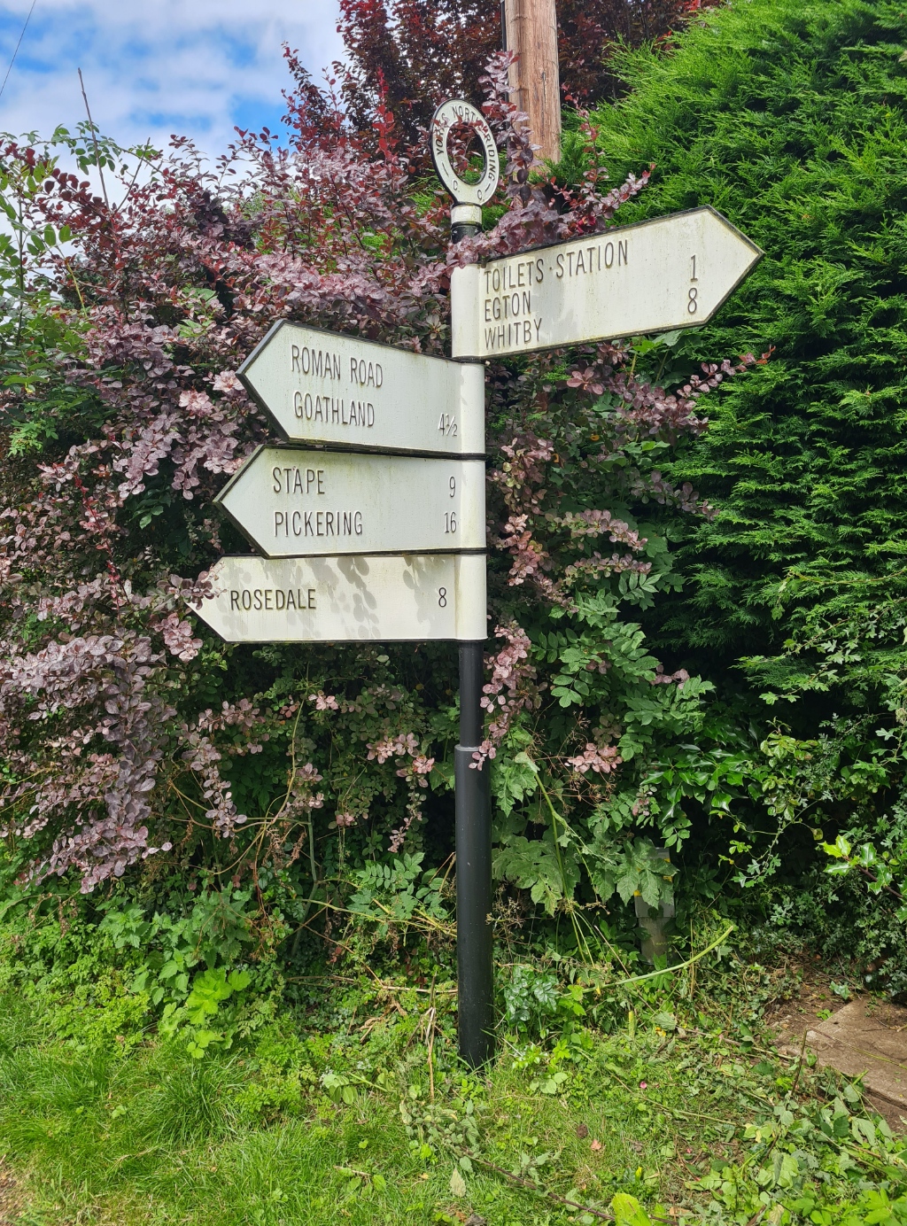
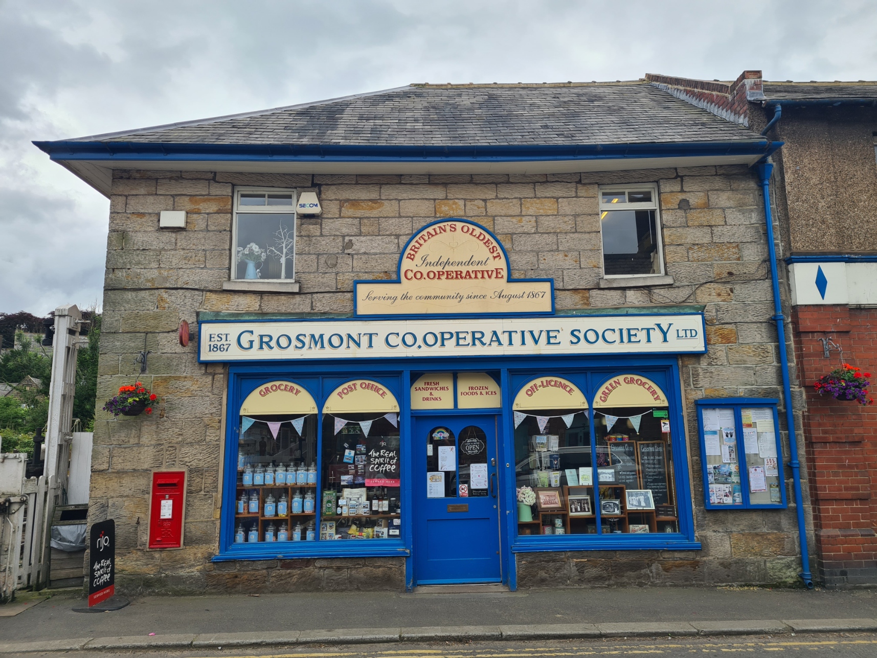
There was nothing in Glaisdale to delay me, so I continued, now joining for a brief stretch the Esk Valley Walk, a short and pretty trail I walked with Mrs Three Points of the Compass many years previous. The day had brightened up completely and remained that way as I continued through handsome Egton Bridge to Grosmont, via the Barnards Toll Road, a place that demands a halt.
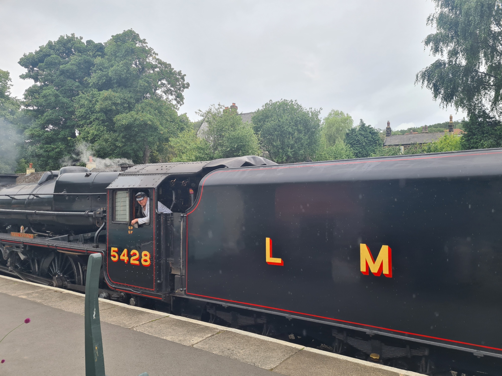
Grosmont is a major station on the North Yorkshire Moors Railway. It draws steam buffs, tourists, locals and those such as I, seeking a brief pause before tackling the steep climb up through the still soot bedaubed houses to the final section of cross-country path before the day’s end. Those terraced houses still carry the grime that originated from the three ironstone smelting furnaces that used to operate in the valley below. It must have been a dire, noisy, and quite awful place to exist, ‘back in the day’ and very unlike what apparently thrives today.
The tourists were here for the steam train that huffed through the station, but the serious railway enthusiasts were all here for the Class 37 that chugged through. I confess that I was more interested in the food they had on offer and sat in the light rain behind the station café, enjoying a decent quiche and ice cream sundae.
My guide book described the exit from town as a “calf-popping 700ft (230m) climb up to Sleights Moor”, but it is easy enough when taking your time and having gained height, it wasn’t long before I was dropping down the contours again, leaving the moors behind and entering mixed farmland, looking for which of the many farms dotting the hills was mine.
I gently pushed the dozen or so cats at the doorstep to one side with a foot and rapped on the door. I was welcomed into their home as though I belonged there. I was sat at the kitchen table and given a brew. Thankfully the feral cats and kittens remained outside. One tom had a reputation as being a ‘nasty piece of work’. Introductions over, to business. Farmers eat early round these parts and I had to get a bit of a move on so as to not be late for the 18.30 group meal, with those staying in rooms inside. I asked to shower, and an old dear was shooed out of her room so that I could use hers. I requested a loaner towel and was given the husbands as ‘he was still in the fields and I was here’. The meal was simple, good and hearty. The other C2C’ers around the table were a touch subdued and I suspect that a couple were carrying injuries and were pleased to be reaching the end. I know a few transport options had been taken en route thus far by three of those opposite but unsurprisingly, these difficult to make choices were not aired too readily. I returned to my tent in quiet good spirits and pleased I had walked every mile. It had been a good penultimate day on trail.
Day sixteen: Littlebeck to Robin Hood’s Bay
It was a slightly dreary start to the day. While the option of a cooked breakfast had been there, I turned it down, preferring to get on to trail and finish at a reasonable time. I waved at my hosts through the window as I strode off down their path in the mist and light rain. I felt good. I had slept well, I was ache free, My cold seemed to have FINALLY retreated, and it was just a few short miles to the coast. Though I knew I had a sodden moor or two to cross on the way.
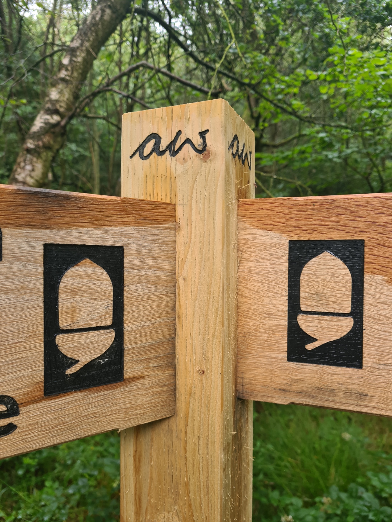
It wasn’t far to the pretty little 20m falls at Falling Foss. Obviously the café was closed. There was brand new Coast to Coast signage freshly installed, complete with AW’s initials. The only ones I had seen in some two hundred miles. This was a lovely pretty but all too short walk along the river before having to cross the far less inviting Sneaton Low Moor and Graystone Hills. Guidebook: “both moors are extremely boggy in places”! Yep, they were sodden, a last hurrah from the peatlands. I splodged through, nothing was going to dampen my last day, nothing.
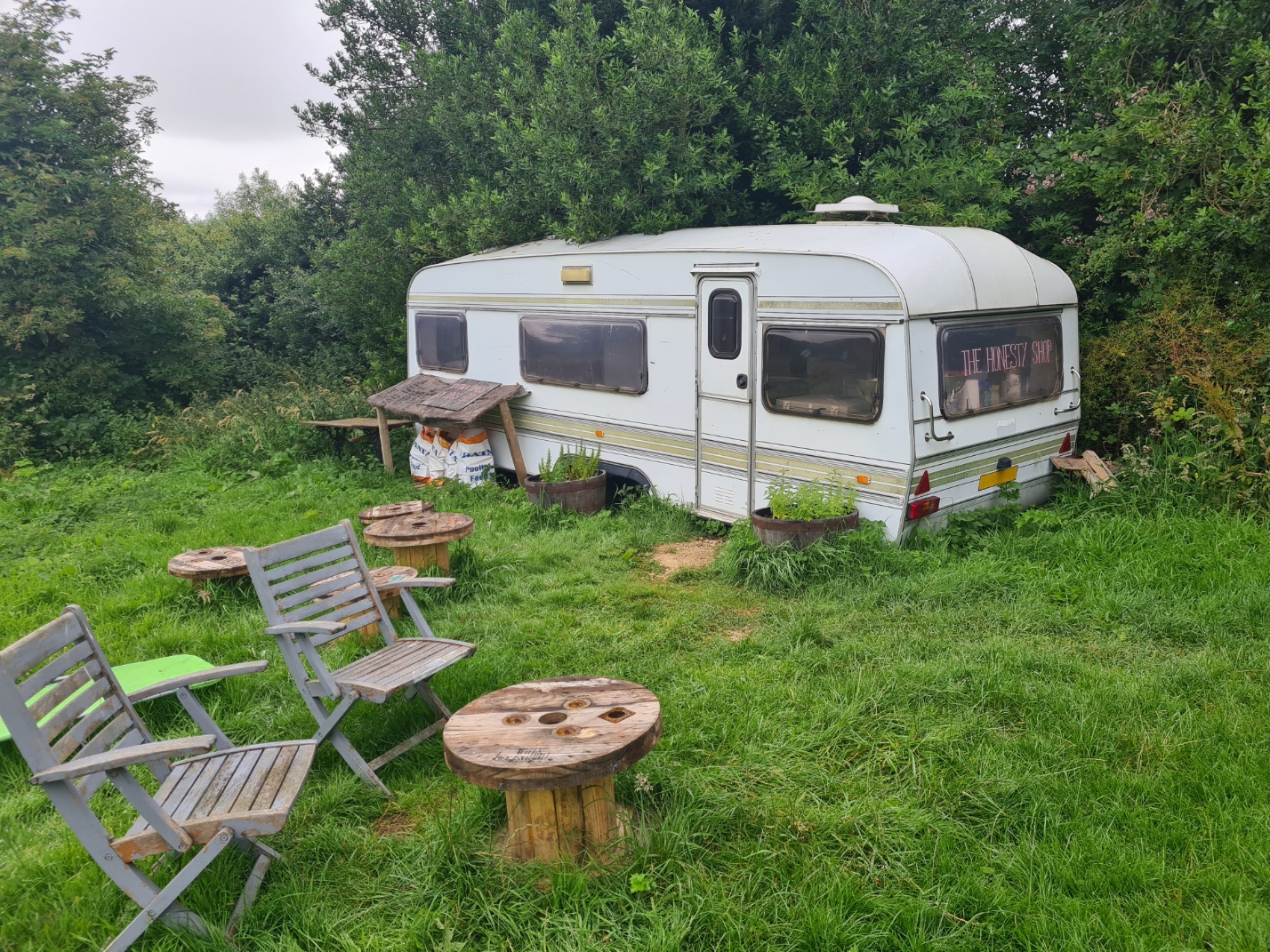
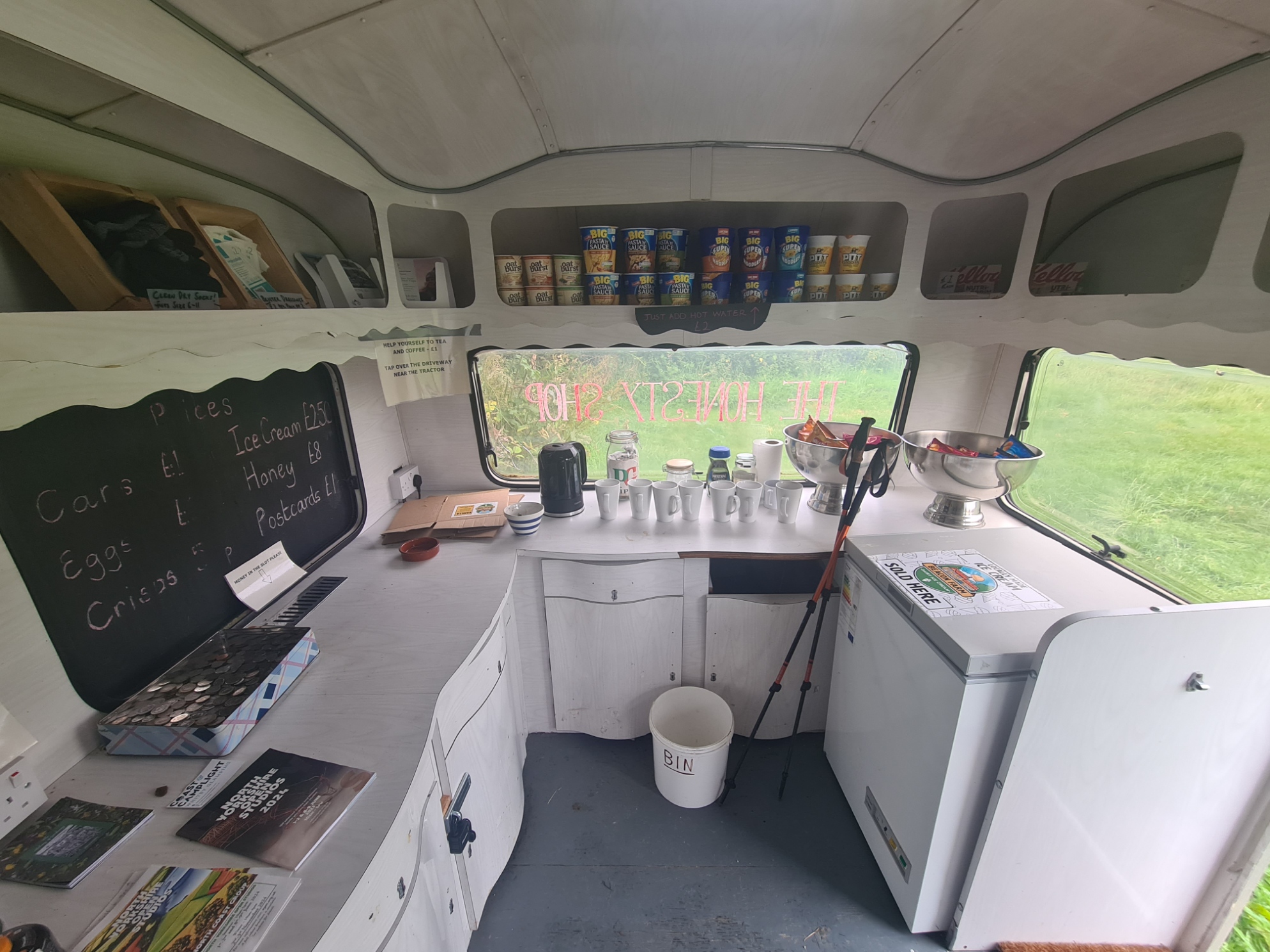
Remarkably, I came across a caravan ‘honesty stop’. It was very well provisioned but I cannot see much sense in it. Obviously we should be grateful for those concerned having made the considerable effort but it is just a handful of miles from the end (or start). I called in, just to have a look, but carried on.
Back to the Cleveland Way. I was on familiar territory now and knew what I had in front. Good ups and downs, clifftops all the way to Robin Hood’s Bay. There are some things of interest along this stretch of coast but I barely broke step, I had seen them all before, I had a destination to reach. The sun was out, it was hot. The sea shimmered to my left, the gulls screamed overhead, I felt good.
As expected, Robin Hood’s Bay was busy. It was a gorgeous day and the town was packed with visitors. I walked slowly down the steep hill to the quay. Typically the tide was out and I made the precarious walk across seaweed covered rocks to the sea, dipping toes into the lapping water and completing the Coast to Coast tradition, casting my little pebble carried from St. Bees into it’s depths. About face and back to the shore and town, fully expecting to slip and break an ankle on the slippery bladderwrack.
I accosted some holidaymakers minding their own business, and had them take my photo at the Coast to Coast sign, then walked into the Bay Hotel opposite for a celebratory and decent pint of Summit IPA, 4.2%, from the Theakston brewery. Eschewing the food on offer here, I walked back up the oh-so-steep hill to the efficiently run chippy at the top for fish and chips, with mushy peas. And that was that! My walk was over. I walked the short distance to the bus stop to begin my journey home…
Post trail thoughts:
Having completed the trail, I gave some thought as to why my illness had hung around for so long whilst on trail. In retrospect, I am pretty sure I had covid. Symptoms of fever, shortness of breath, sore throat, cough and body aches all check out, though no loss of sense of smell and only occasionally loss of appetite. It knocked me sideways a bit and I frequently struggled with exertion, climbs etc. My usual unhurried ‘old man pace’ obviously worked to my advantage, along with no time constraints and planning short days/sections. I am fortunate that I was able to complete the walk but at no point felt I was in any danger of collapse or break down. Long distance hikers occasionally need to knuckle down and battle through issues. However, being ill on trail is NOT the recommended way to tackle a Coast to Coast!
Wainwright’s Coast to Coast originally never made it’s way on to the National Trail register. Probably because it was enthusiasts rather than officials that lobbied for it. But such is the trail’s popularity that the Wainwright Society and others were eventually successful in combating such resistance and in 2022 it was announced by Natural England that the Coast to Coast Walk was to be awarded National Trail status under section 51 of the National Parks and Access to the Countryside Act 1949. This was long overdue as it is possibly the most popular of all long distance hikes in England. I certainly enjoyed it and can see why so many return to complete it time and again. But not me, there are far too many other trails out there.
The change in status has resulted in extra money being committed to the trail and improvements to some particularly vulnerable paths and introduction of some necessary signage will result. This is urgently needed, particularly in places such as Nine Standards. As I write this the Coast to Coast is expected to don its pristine new cloak of respectability in 2025, I was pre-empting this and hiking it in 2024 as it has long been on my ‘to do’ list.
Sadly, Wainwrights name is removed from the paths new identity. Unlike King Charles III, who has had his name added to the long overdue England Coast Path, despite him having very little to do with walking or long trails. How would the blunt Wainwright have felt about this omission? Who knows, but there will be many that feel it to be a slight.

3 replies »