‘Recreational Paths’ are a class of trail in the UK that have historically received scant attention from the larger publishers of guidebooks. Three Points of the Compass looks at one series of books that addressed this, if only in part.
In common with most who walk in the country on a frequent basis for many years, Three Points of the Compass has perhaps too many guide books and maps weighing down the shelves. Some trails have been walked, some will be, others may be and a final tranche is comprised of those that are unlikely to ever be visited. Book quality and usefulness vary enormously; some guides are truly excellent, a handful have suggested useful ways of connecting other paths, some make for a brief diversionary read while, inevitably, a handful are quite dire. Amongst the better guidebooks to some popular and a handful of less familiar trails are those published by Aurum Press.
Aurum Press, now an imprint of The Quarto Group, began their Recreational Path Guides in the mid 1990s and the final new guide appeared in 2007. These took a similar format as their existing series of National Trail Guides that still continue today. In common with the National Trail Guides, production value is high. They are carefully researched and worked as a one-stop shop for anyone wanting to walk the trail covered. The editors have done a very good if unsung job in ensuring that all the guides are readable, lack padding, and are consistent in style. All were produced in association with the Ordnance Survey and occasionally other parties. The included O.S. map segments, with route highlighted for each section, are shown alongside the text. Decent colour images offer a flavour of the trail. Elsewhere in the book is a summary of the Path, it’s development history, terrain and wildlife. The dated information on transport links and accommodation included in each volume is today largely no longer relevant, particularly the latter. Thankfully that content was kept to a minimum so less of each volume is today wasted space. Each volume ends with a bibliography. Obviously things change on the ground over the years and there will today be the very occasional route diversion due to new roads and changes in permissive path structure. Even new housing occasionally springs up in what was once a field or wood. In just one of the guides- the Saxon Shore Way, where the trail frequently follows the coast, we thankfully now have the roll-back legislation introduced for the England Coast Path so there isn’t much difficulty in getting round any loss of original path where the trail has had to take an alternative route.
There was a small range of authors for this series of walking guides with prolific writer Anthony Burton being responsible for seven of the thirteen and the remaining six each having a dedicated author. Guides are well researched, well illustrated and well written with clear instruction. This is to be expected as Aurum had a well practiced and successful style developed via their National Trail guides. As usual, they produced this series in conjunction with the Ordnance Survey and specially prepared 1:25 000 scale maps to the route are included. It would be perfectly possible to walk any of the trails with the guidebook alone, but there is always the chance of ‘walking off the map’ due to the small size map segments included in each guide and distant peaks shall remain nameless, but for a linear walk these guides should suffice, some paths are also highlighted for transport links.
Some trails that had appeared in the Recreational Path series later appeared as part of Aurum’s National Trail Guide[s] series as path status changed, i.e. was upgraded. The Cotswold Way was originally a Recreational Path and appeared in that series, but is now classified as a National Trail, and so now has a guide book to it from Aurum in that series. This was first published in 2007, twelve years after the sole printing of the Recreational Path volume to the same trail. Just one of the two Scottish Trails was similarly treated. While both The West Highland Way and The Southern Upland Way were published in Aurum’s Recreational Path Guides, both of their status have now changed and these two trails are included in the 29 that are now termed ‘Scotland’s Great Trails’. But it was just the West Highland Way that had a rewritten guide to it published by Aurum. This was a loss as the West Highland Way is a popular trail that everyone and their brother seems to have written about, whereas the Southern Upland Way is the relatively unsung but better trail (actually a coast to coast across Scotland). That said, the Cicerone guide book to the Southern Upland Way is very good and I found it very helpful when I walked the trail.
- Southern Upland Way, waymerks and trail
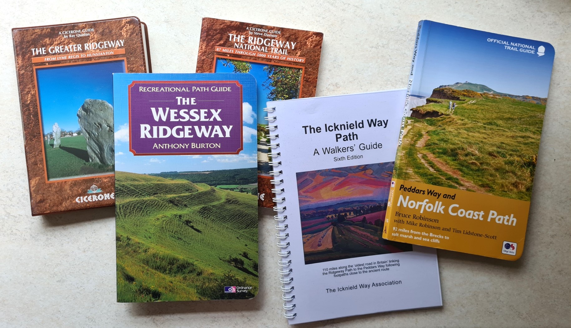
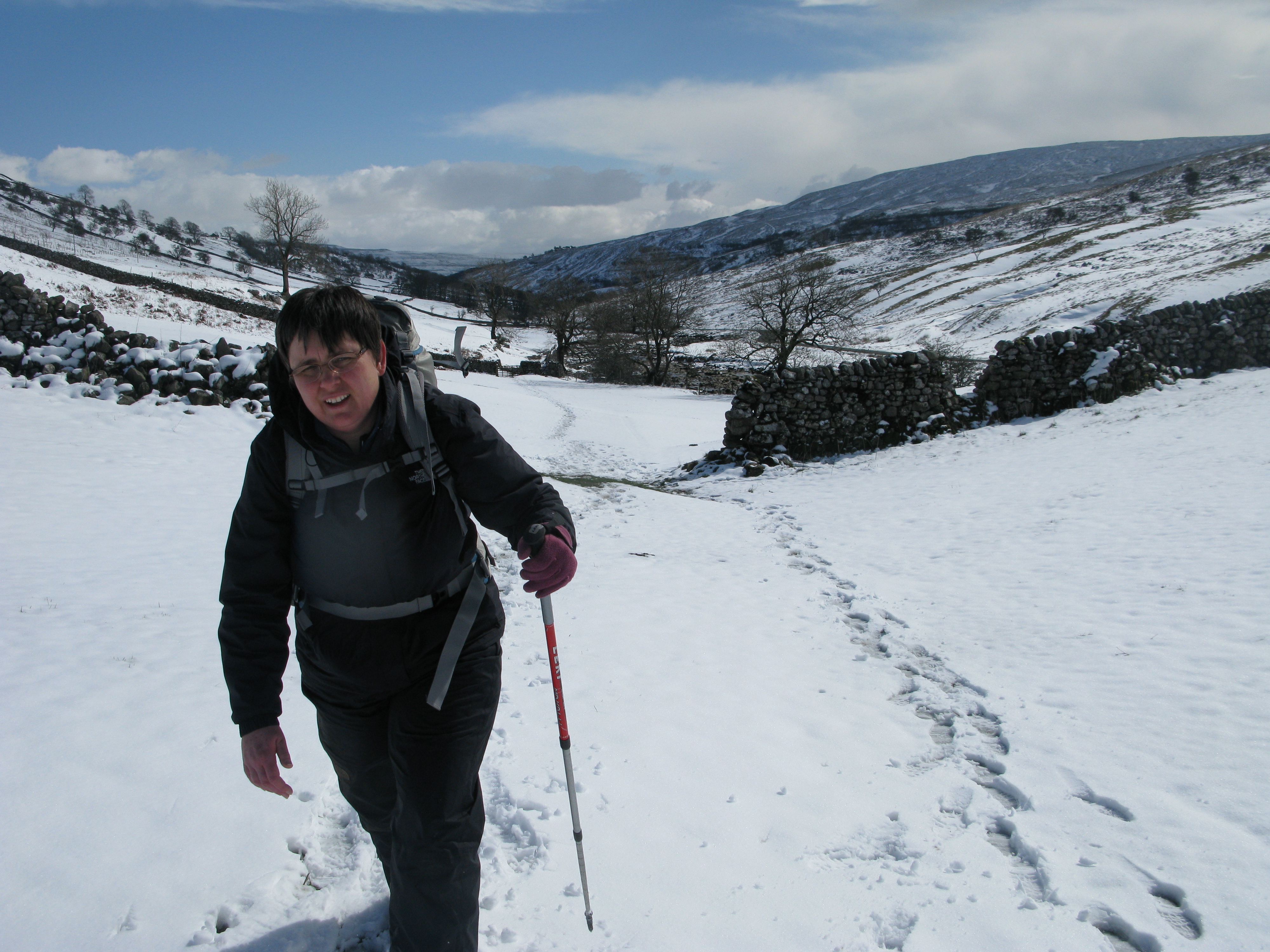
Some Recreational Paths have not been fortunate. Whereas the beautiful Dales Way has had subsequent guidebooks written on it, trails such as the 127 mile Wessex Ridgeway and 160 miles plus Saxon Shore Way now seem to be unloved and forgotten by publishers. Part of the reason for this is either their length or route. The former is part of the Greater Ridgeway, linking up with The Ridgeway, Icknield Way and Peddars Way to follow a continuous 363 mile ancient route across the chalk from Lyme Regis to the north Norfolk coast near Hunstanton. Cicerone produced a guidebook to the entire Greater Ridgeway, written by Ray Quinlan, in 2003 but that book died the death and is now a hard guide to find. For those very few seeking to complete the Greater Ridgeway, the Aurum guide fills an otherwise empty niche. Having walked the Ridgeway, Icknield Way and Peddars Way ,the Aurum guide is a reminder that I must return to follow those Wessex Ridgeway miles to the south coast to complete the Greater Ridgeway.
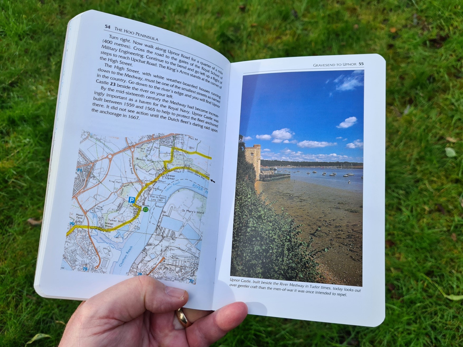
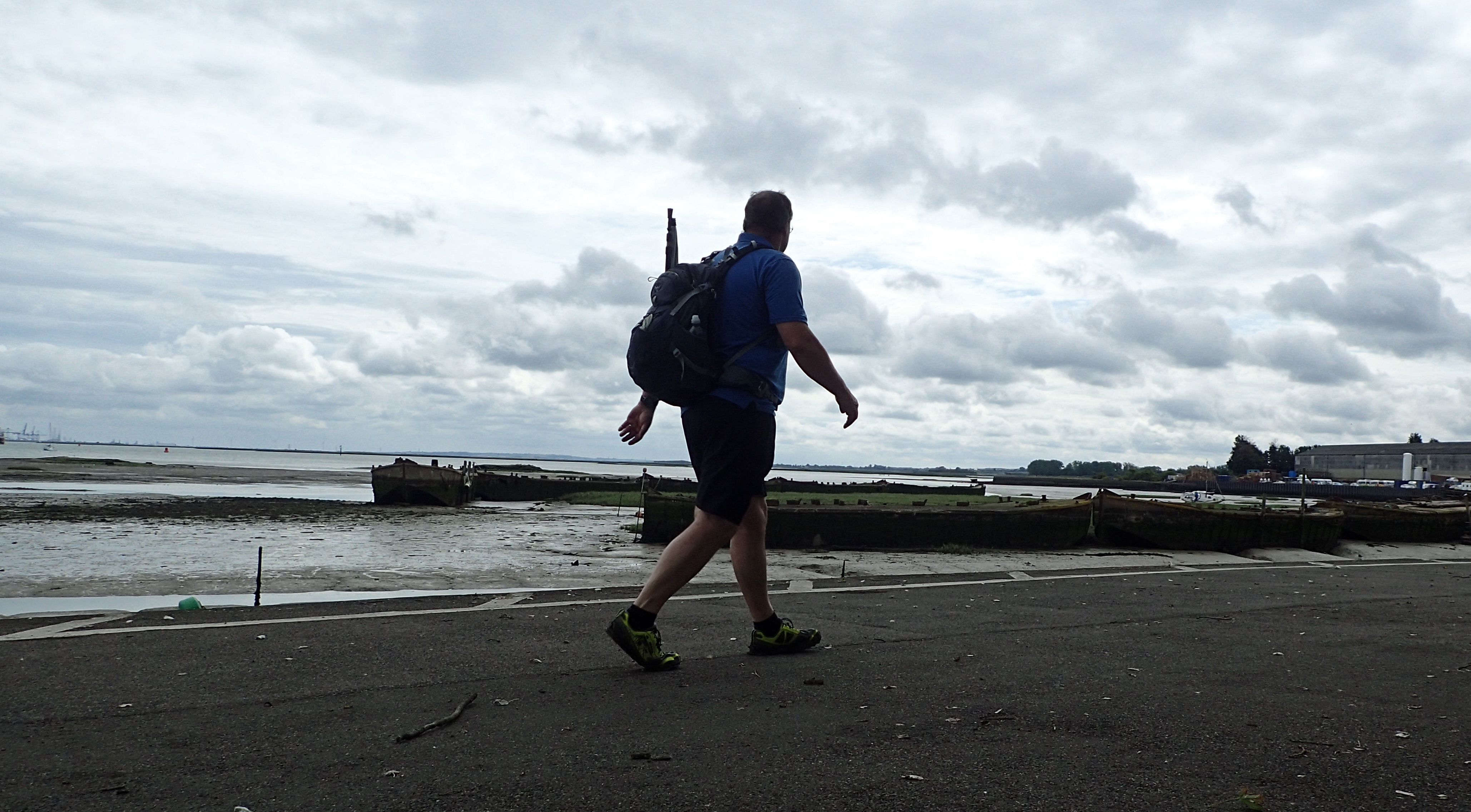
The Saxon Shore Way is something different however. It follows the old Saxon coastline 163 miles from Gravesend in Kent to Hastings in East Sussex. Much is now on the route of the new England Coast Path, but not all. I have walked both the Saxon Shore Way and England Coast Path routes round this south east corner of England and there are some interesting differences. The loss of the Aurum guide is a loss indeed.
The Saxon Shore Way only ‘officially’ opened in 1980 and mostly closely hugs the old route of the coastline, as it was some 1500 years previous. However, for many, this route might insufficiently differ from the newly established England Coast Path that loops round this south eastern corner of England, and has it’s own growing series of guides and maps, though there seems to be very little consistency in what is being produced so far. That said, the Saxon Shore Way is the better trail, especially for the Isle of Thanet section.
- Saxon Shore Way: Gravesend to Sittingbourne
- Saxon Shore Way: Self isolating on the North Kent Marshes- Sittingbourne to Faversham
- Saxon Shore Way: Sittingbourne to Dover
- Saxon Shore Way: Dover to Hastings
But what exactly is a Recreational Path or Route? It is actually surprisingly difficult to find out. After all, look at the words- recreational and path. Many a local authority uses them willy-nilly to describe just about any paths in their vicinity. I have failed to find any master list on a county, country or UK level anywhere. However they are a very specific class of path.
Recreational Paths are, or were, second in status to National Trails, though they mostly lack their funding. There is another almost equally status of path that is now often offered slightly more attention than Recreational Paths. These are Regional Routes, a class of middle-distance route usually developed by a local highway authority in partnership with local or national voluntary groups. Regional Routes are actually required to have a guide book written for them, but I have not identified that actual requirement for Recreational Paths, though surely an online descriptive and mapping resource would be all that was required, as a minimum, today.
Recreational Paths/Routes are included on 1:25 000 Ordnance Survey maps and just some ‘selected’ Recreational Paths on the 1:50 000 sheets (when over 40km in length), though they share their map symbols with National Trails and Long Distance Paths. The Ordnance Survey explains what Recreational Routes are:

“These are routes created by local authorities, Government agencies or volunteer organisations. They mainly follow existing rights of way and are signposted typically by whichever organisation created the route. If the route is also an existing right of way it will be maintained by a local authority. Any sections that are not part of existing rights of way may be maintained by the corresponding organisation. Local authorities give us permission to show these routes, but they may not actively promote the routes or give them priority over other rights of way”
Ordnance Survey
I have no idea how many Recreational Paths there are in total. Maybe dozens, possibly hundreds. Aurum published guides to just thirteen of them within this particular series.
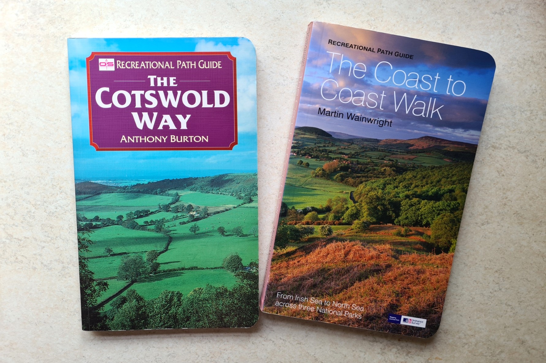
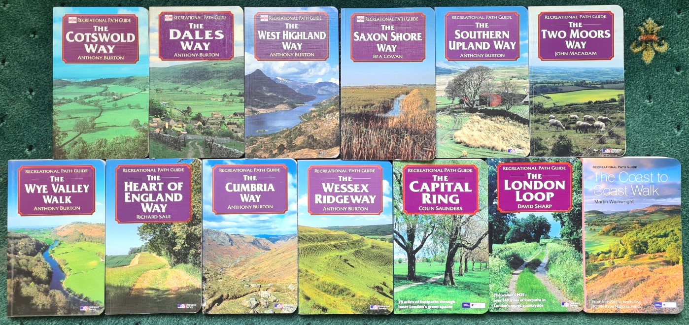
- The Cotswold Way. Anthony Burton. Aurum Press in association with the Ordnance Survey. 1995. 143pp. ISBN 1 85410 317 2
- The Dales Way, Anthony Burton. Aurum Press in association with the Ordnance Survey. 1995, 2001. 142pp. ISBN 1 85410 314 8
- The West Highland Way, Anthony Burton. Aurum Press in association with the Ordnance Survey. 1996, 2010, 2013. 143pp. ISBN 1 85410 391 1
- The Saxon Shore Way, Bea Cowan. Aurum Press in association with the Ordnance Survey and Kent County Council. 1996, 168pp. ISBN 1 85410 392 X
- The Southern Upland Way, Anthony Burton. Aurum Press in association with the Ordnance Survey. 1997. 168pp. ISBN 1 85410 455 1
- The Two Moors Way, John Macadam. Aurum Press in association with the Ordnance Survey. 1997, 2002. 143pp. ISBN 1 85410 458 6
- The Wye Valley Walk, Anthony Burton. Aurum Press in association with the Ordnance Survey. 1998, 2002. 144pp. ISBN 1 85410 532 9
- The Heart of England Way, Richard Sale. Aurum Press in association with the Ordnance Survey. 1998. 144pp. ISBN 1 85410 538 8
- The Cumbria Way, Anthony Burton. Aurum Press in association with the Ordnance Survey. 1999. 144pp. ISBN 1 85410 615 5
- The Wessex Ridgeway, Anthony Burton. Aurum Press in association with the Ordnance Survey. 1999. 144pp. ISBN 1 85410 613 9
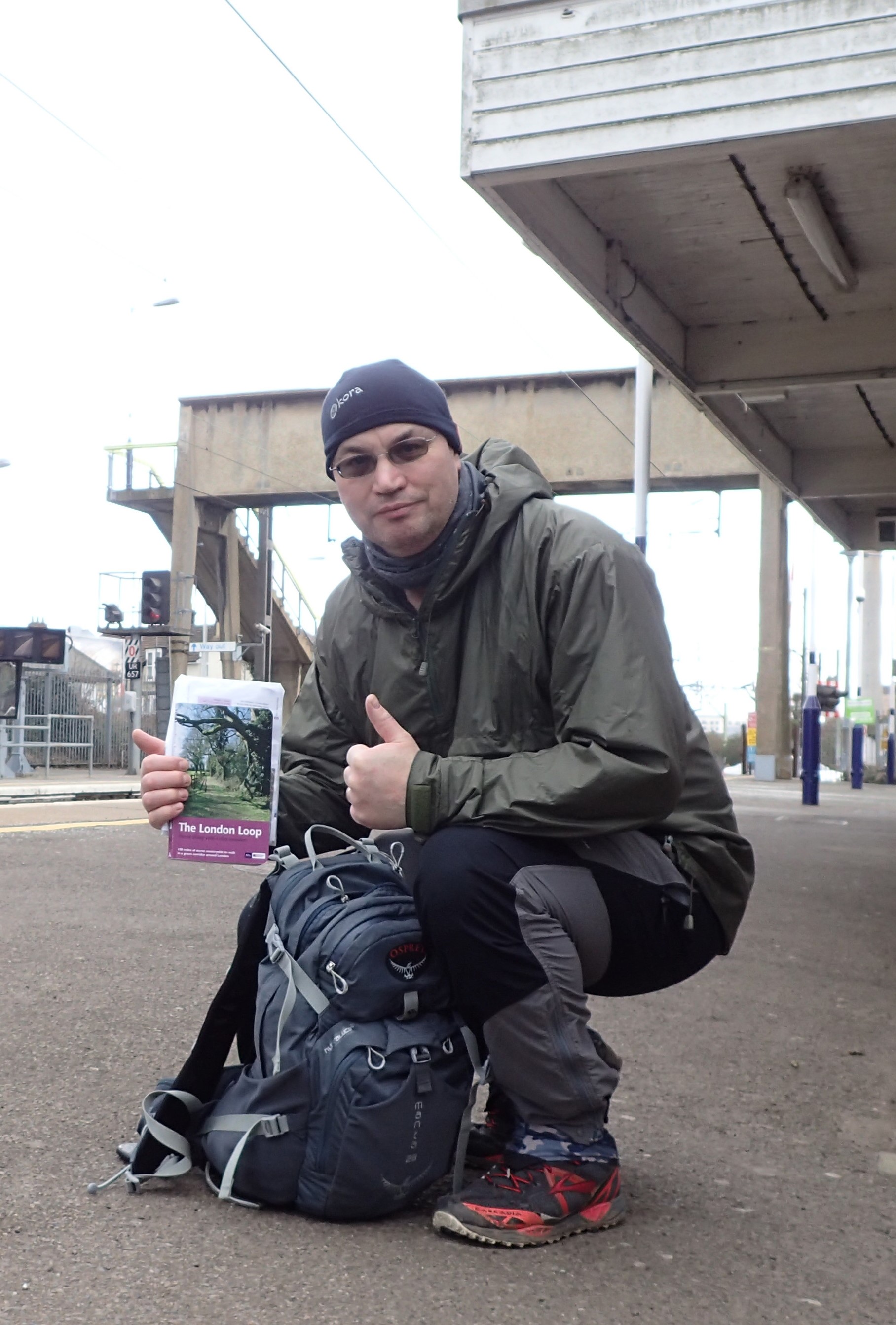
- The Capital Ring, Colin Saunders. Aurum Press. 2003, 2006. 168pp. ISBN 1 84513 075 8
- The London LOOP, David Sharp. Aurum Press. 2001, 2006, 2008, 2010, 2017. 167pp. ISBN 1 84531 199 1
- The Coast to Coast Walk, Martin Wainwright. Aurum Press. 2007, 2009, 2010, 2012, 2017. 192pp. ISBN 978 1 84513 467 9
Some of the guides went on to have multiple editions and rewrites, but not all. Eventually the Recreational Path Guides series ended and the existence of any guide for some of the trails petered out completely as they were not picked up by any other publisher. The final Recreational Path to have a guide published for it in the series was the Coast to Coast Walk, otherwise known as Wainwright’s Coast to Coast, with the announcement in August 2022 that it would be upgraded to National Trail status.
In addition to their National Trails Guides and Recreational Path Guides, Aurum co-produced a one-off guide book to the newly created Grand Union Canal Walk with British Waterways in 1993. Aurum also began another small unspecified and unnamed series that covered trails such as the Northumberland Coast Trail (2013) and Somerset Coast Path (2014). Because these long distance routes never had official ‘recreational path’ or national trail status they could not be branded as such within the Aurum portfolio, such is the problem with a fairly generic designation. Today of course, they are both part of the England Coast Path, a national trail. Aurum Press were acquired by the global illustrated book publishing Quarto Group in 2004 and it is possible that a few more hard-headed decisions were subsequently made as a result. Periodic rewrites of some trails occasionally happened. David Sharp’s guide to the London LOOP Recreational Path was completely redone by Colin Saunders for a 2017 Aurum guide book publication that also lacked any series designation. LOOP stands for London Outer Orbital Path, so the full title of the original volume would be ‘London London Outer Orbital Path Recreational Path’!
Obviously the deciding factor for any publisher is sales. If no one buys a guide book then a publisher simply isn’t going to carry on printing it. Today’s Print-on-Demand would go some way to answering this but the digital practice came too late to save some of the titles and Print-on-Demand doesn’t provide quite the same quality of printing either. Routes change too. Housing estates spring up, paths get diverted. Quiet lanes become ever busier and hazardous. But who slavishly follows a line on a map in a guide book? Surely most of know to check off a twenty-five year old printed route against a modern map, even seeking updated information online, well, perhaps not. But we should.
I am unsure of the future for our Recreational Paths if publishers continue to ignore them. One working group laid out a somewhat stark recommendation:
“If a previously listed and promoted Recreational Path shown on Ordnance Survey Maps becomes badly out of date, lacking good waymarking and signposting on the ground, if no group can be found to review and update it, then it should be removed from future Ordnance Survey Maps as no longer being available or suitable for promotion”
Recreational Paths Discussion Paper, The North Yorkshire Local Access Forum

I have walked six of the thirteen trails covered by my Aurum Recreational Path Guides and have every intention of walking the few remaining miles as it is evident that Aurum chose well on which trails to cover in this short series. In fact two of the trails are slotted in for this year. Each of those I have walked has been a decent walk and I look forward to completing the remainder, not least because the few I still have to polish off are largely ignored today and should be fairly quiet as a result. Most of the guide books in this series can be found quite easily for not-a-lot-of-money via eBay, Amazon and AbeBooks, but routes should be checked against a map before attempting to walk a route as it appears in any particular edition you might find. Just as you would with any older guide book. A couple of the guides are pretty hard to find however. Both the Wessex Ridgeway and Saxon Shore Way volumes are now uncommon and command a price that may be difficult to accept for all, other than committed collectors or completists.