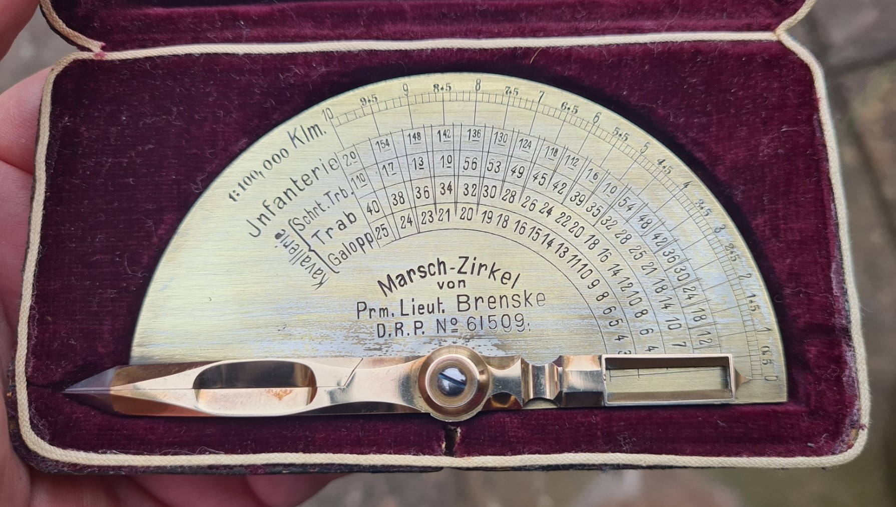
Invented by a German army officer, the Marsch-Zirkel dividers could be used to calculate how long infantry and cavalry would take to cover a measured distance on a map.
Carl Brenske was an officer in the German army. The face of the inscribed Marsch Zirkel (marching circle) instrument records his rank as ‘Prm. Lieut’ an abbreviation of Premier-Lieutenant. When standing armies were formed in the second half of the 17th century, the rank of Lieutenant (alternatively Leutnant) was adopted for the least senior commissioned officer class. In the 18th and 19th centuries this rank was further divided and Premier-Lieutenant and Seconde-Lieutenant came into existence (First and Second Lieutenants). In 1899 the two ranks were renamed Oberleutnant and Leutnant. Even without the dated patent for the instrument, this helps us date this months measure as being produced prior to 1899. Carl Brenske was obviously an enterprising officer; introducing a remarkable instrument that would aid him and his fellow officers in deployment of their troops. No doubt he hoped to retain some amount of intellectual property rights over his invention, going on to patent his remarkable instrument in 1891. Perhaps he hoped to also make some monetary profit from his design.
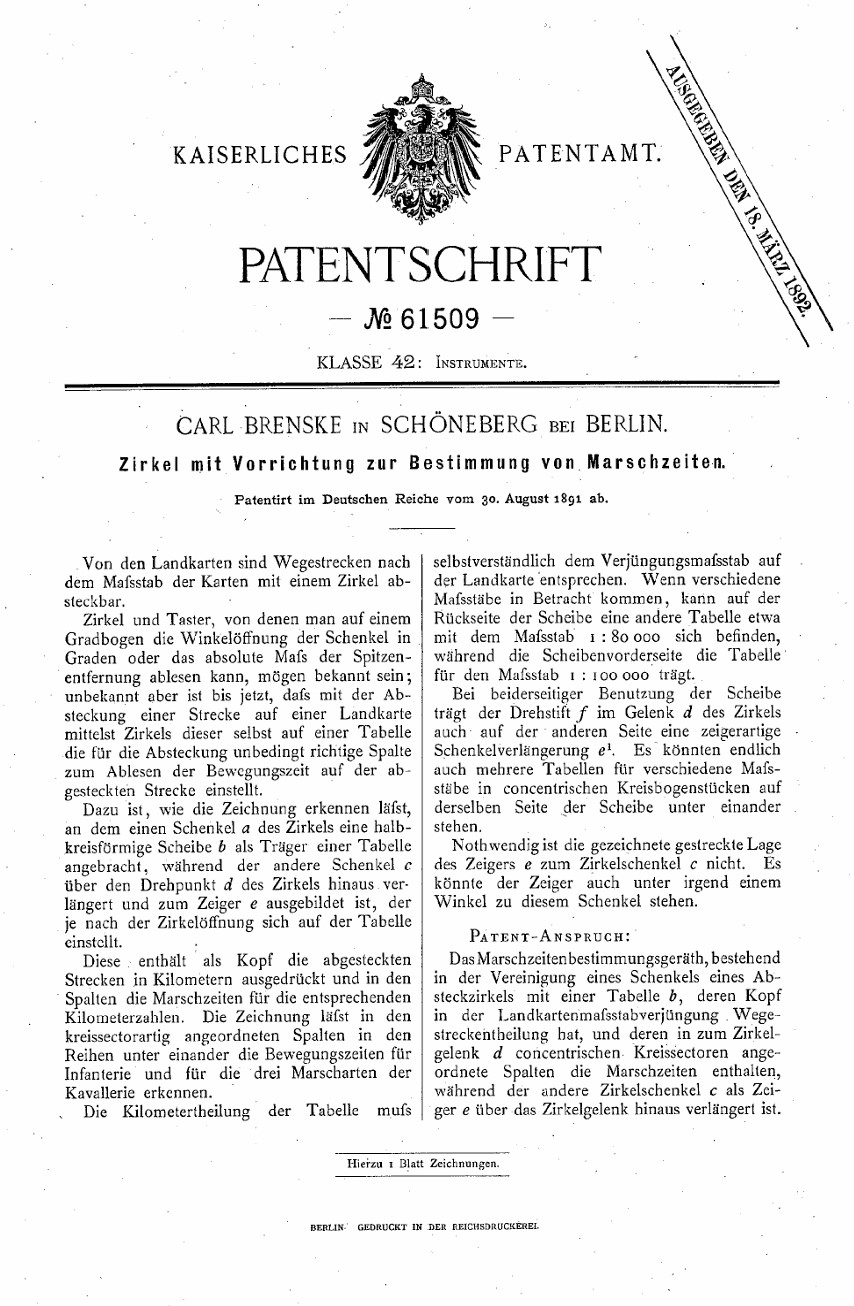
The patent goes in to some depth explaining the application, features and operation of the Marsch-Zirkel map measure.
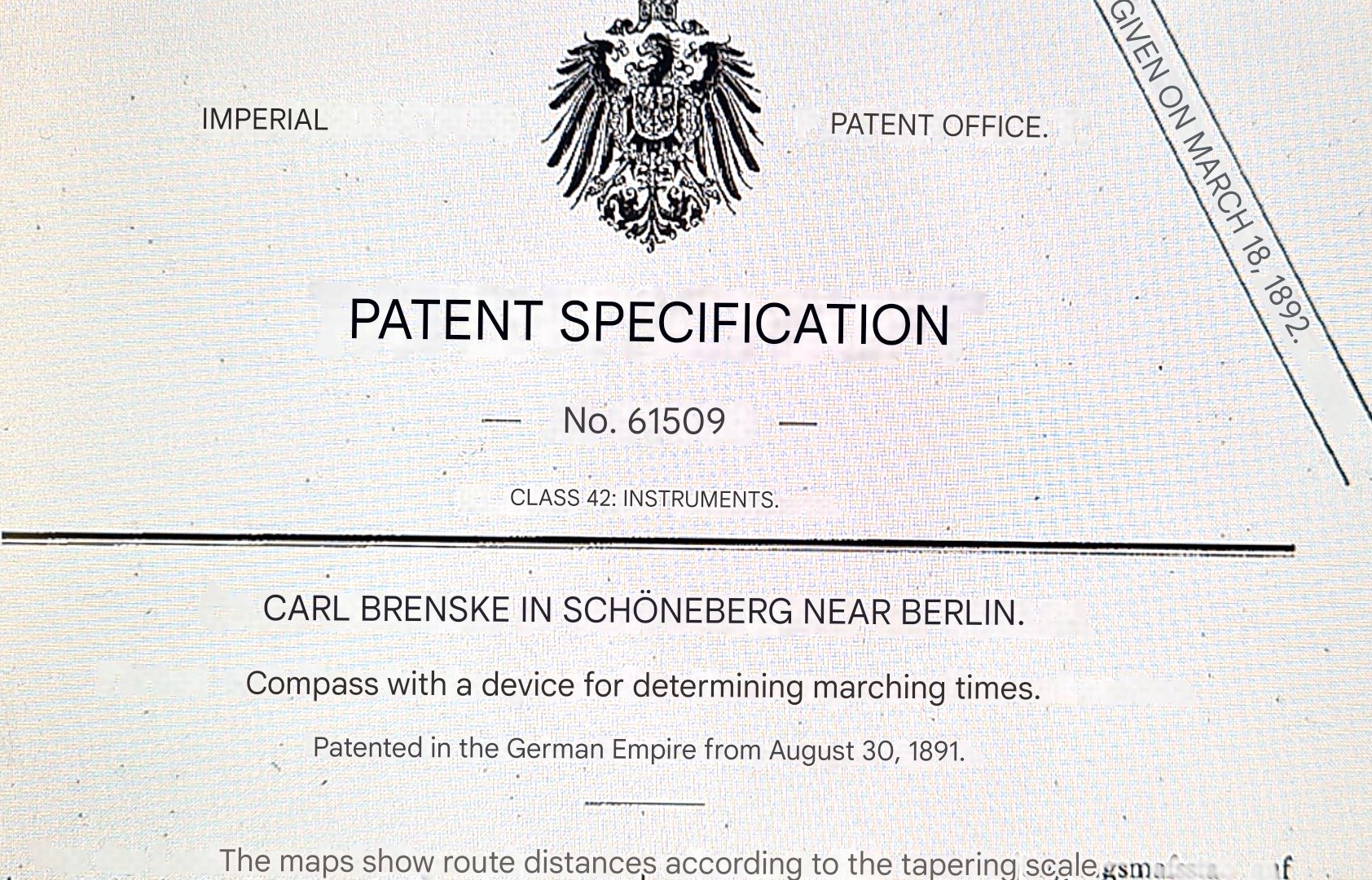
It is introduced in the patent as a ‘compass with device for determining marching times’. The description of the Marsch-Zirkel goes on to explain that it can measure distances on maps at two scales and also be used to calculate how long pedestrian troops and military on horseback will take to travel that measured distance on a map.
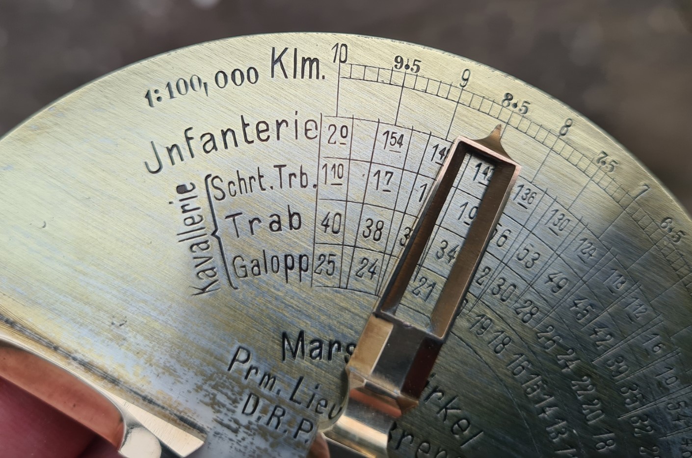
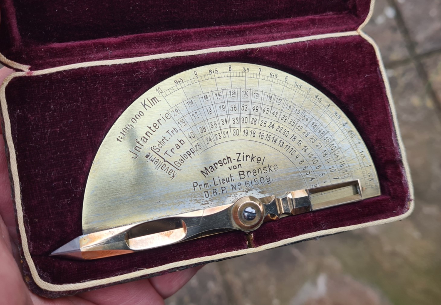
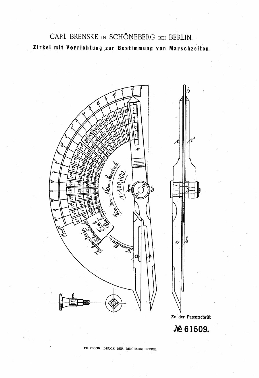
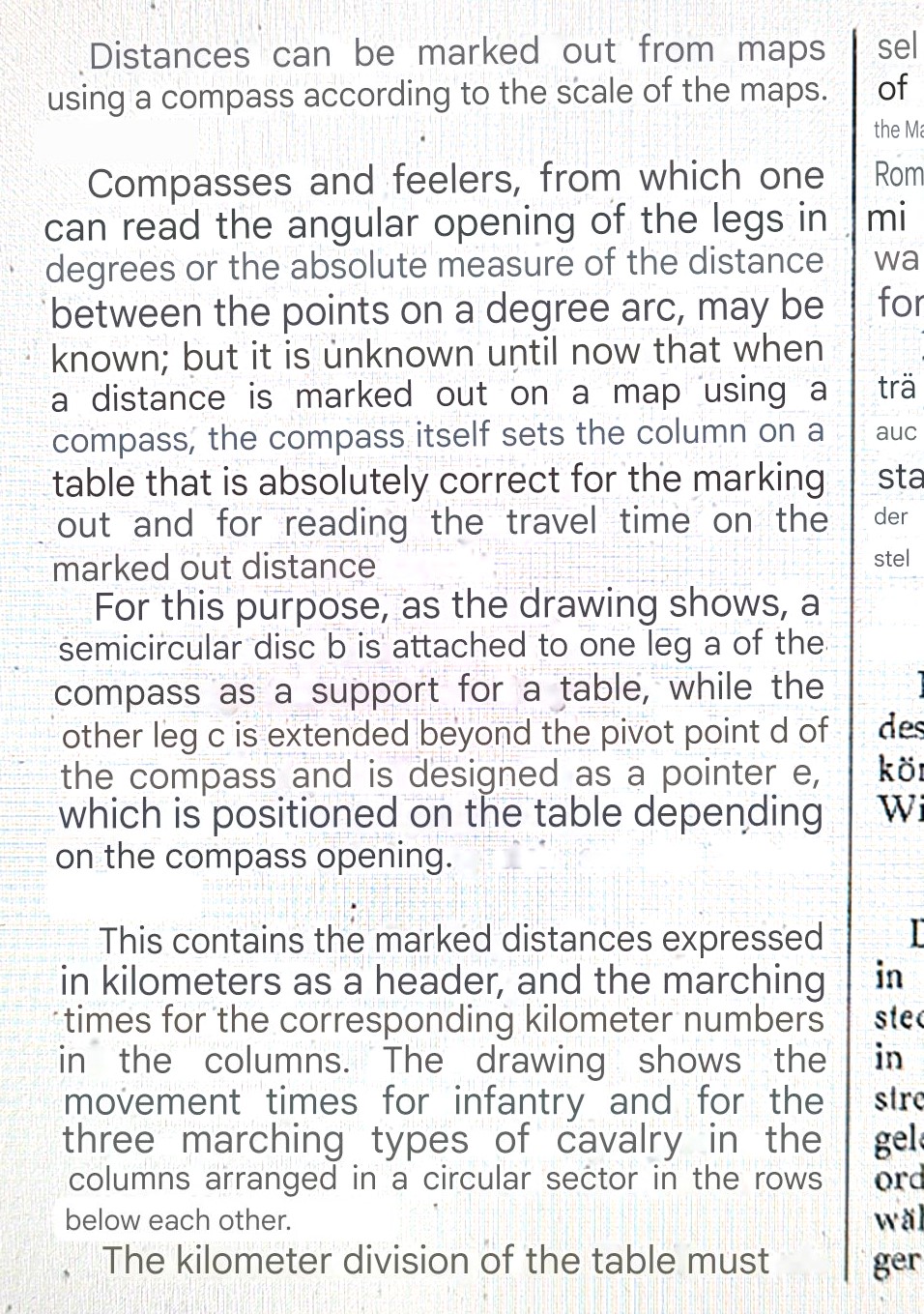
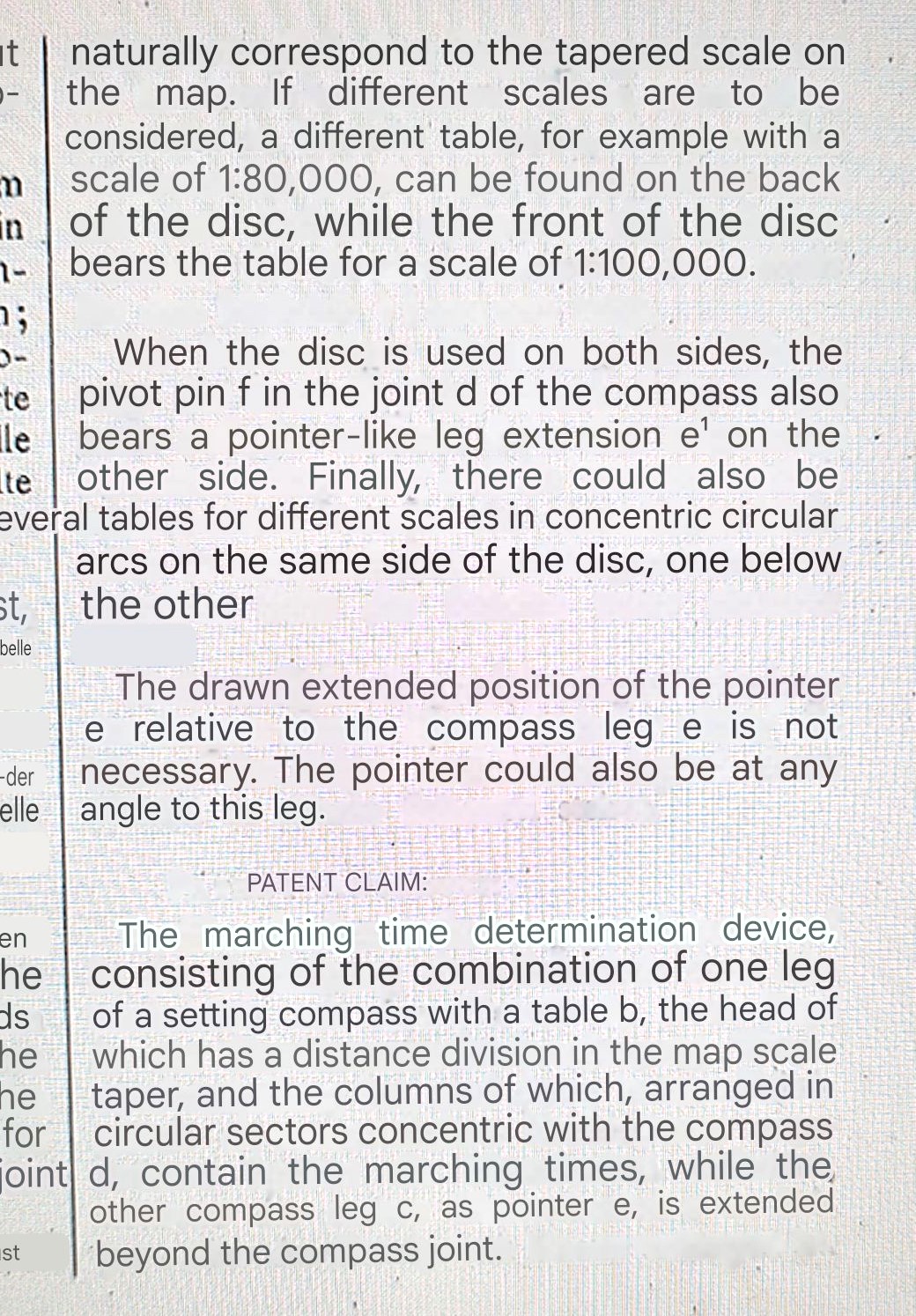
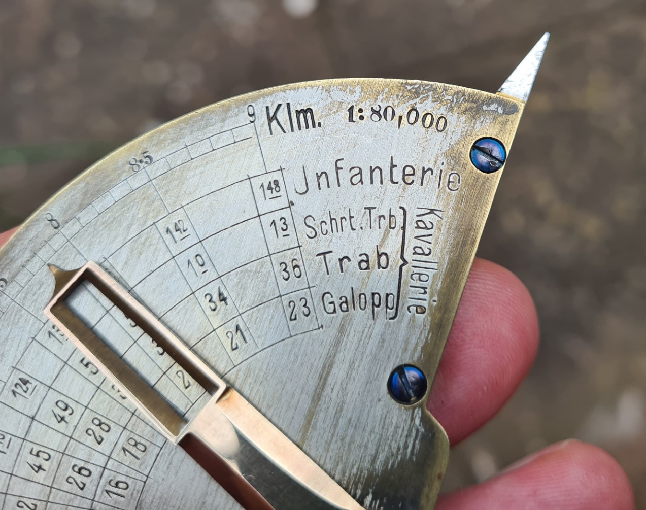
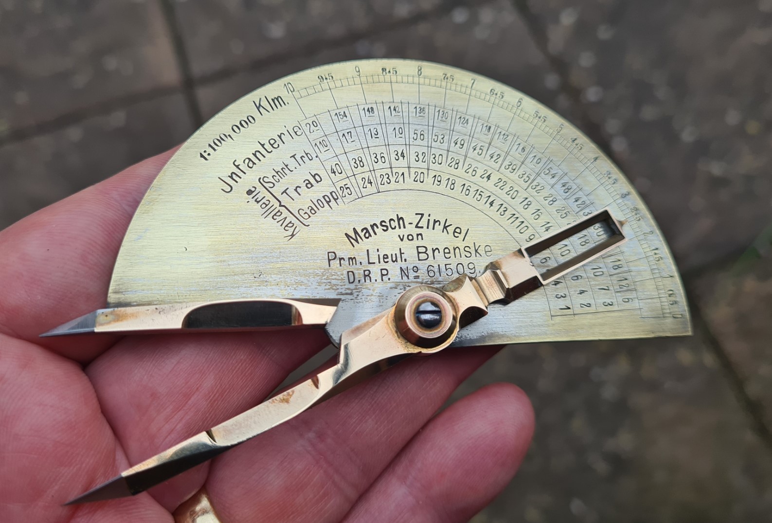
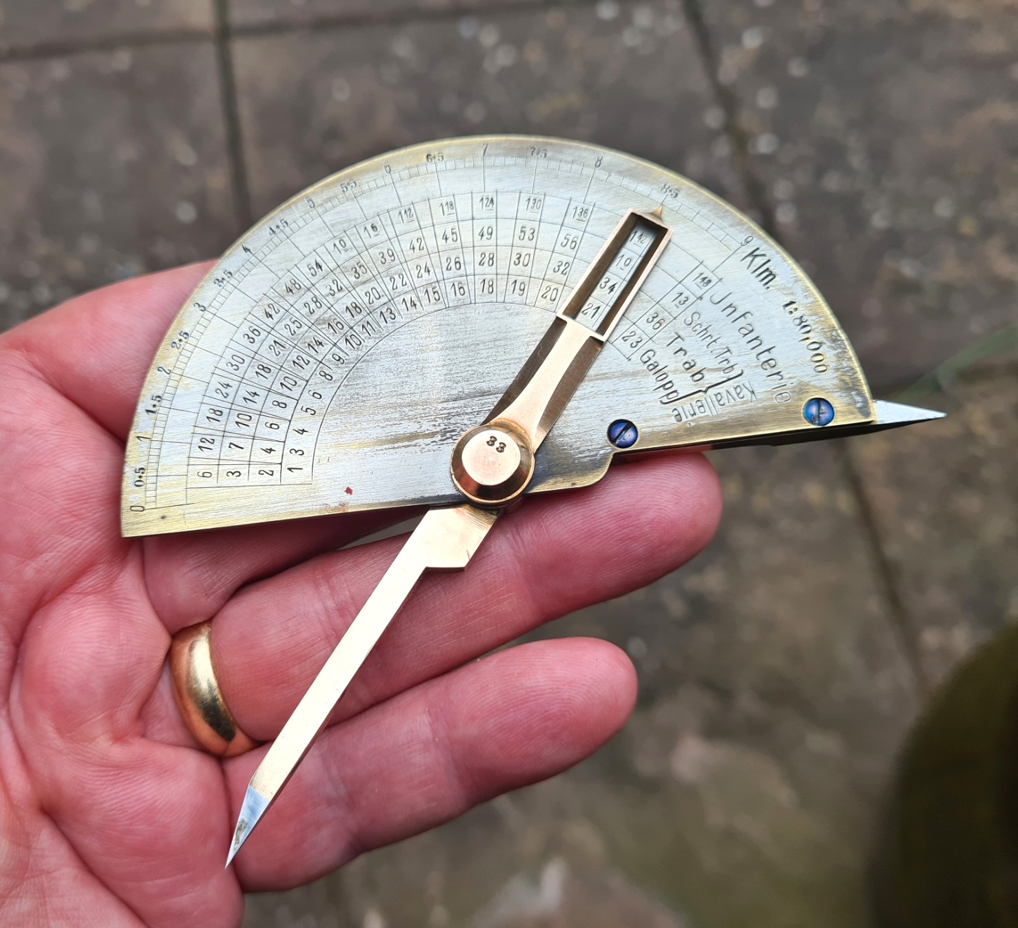
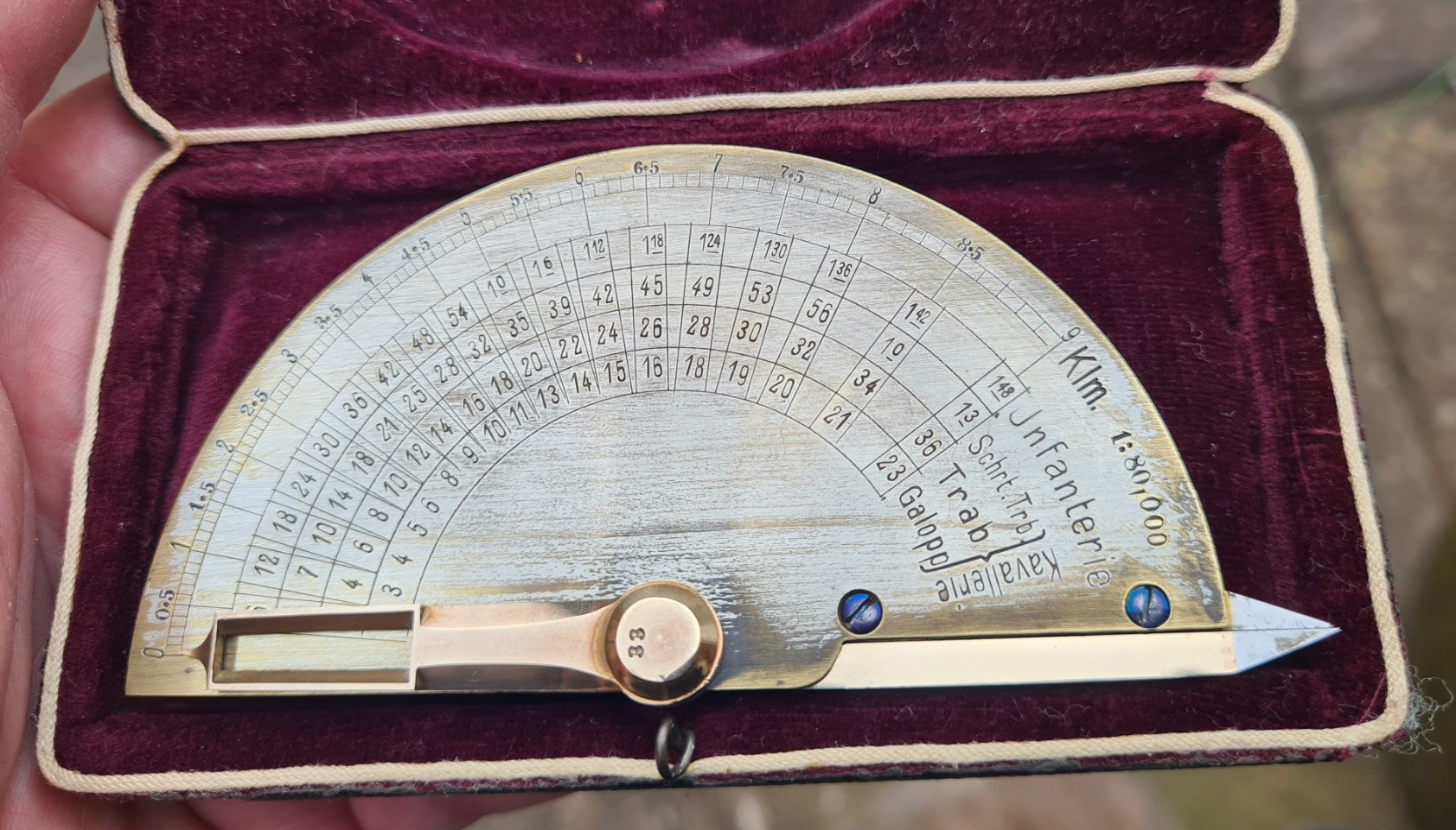
The Marsch-Zirkel is similar in operation to any set of navigation dividers, however what sets it apart is the attached plate, across which a swivelling extension to the divider ‘legs’ rotates. A pointer at the end of these extensions, one on each side of the semi-circular plate, indicates a measured distance on the outer rim in kilometres (klm), in one of two scales. The two scales are 1:80 000 on one side, and 1:100 000 on the other. Having ascertained a distance, on viewing the inscribed plate through a window on each extension, a time in minutes (or minutes and hours) indicates how long pedestrian Infantry (Jnfanterie) or Cavalry (Kavallerie) would take to travel that distance.
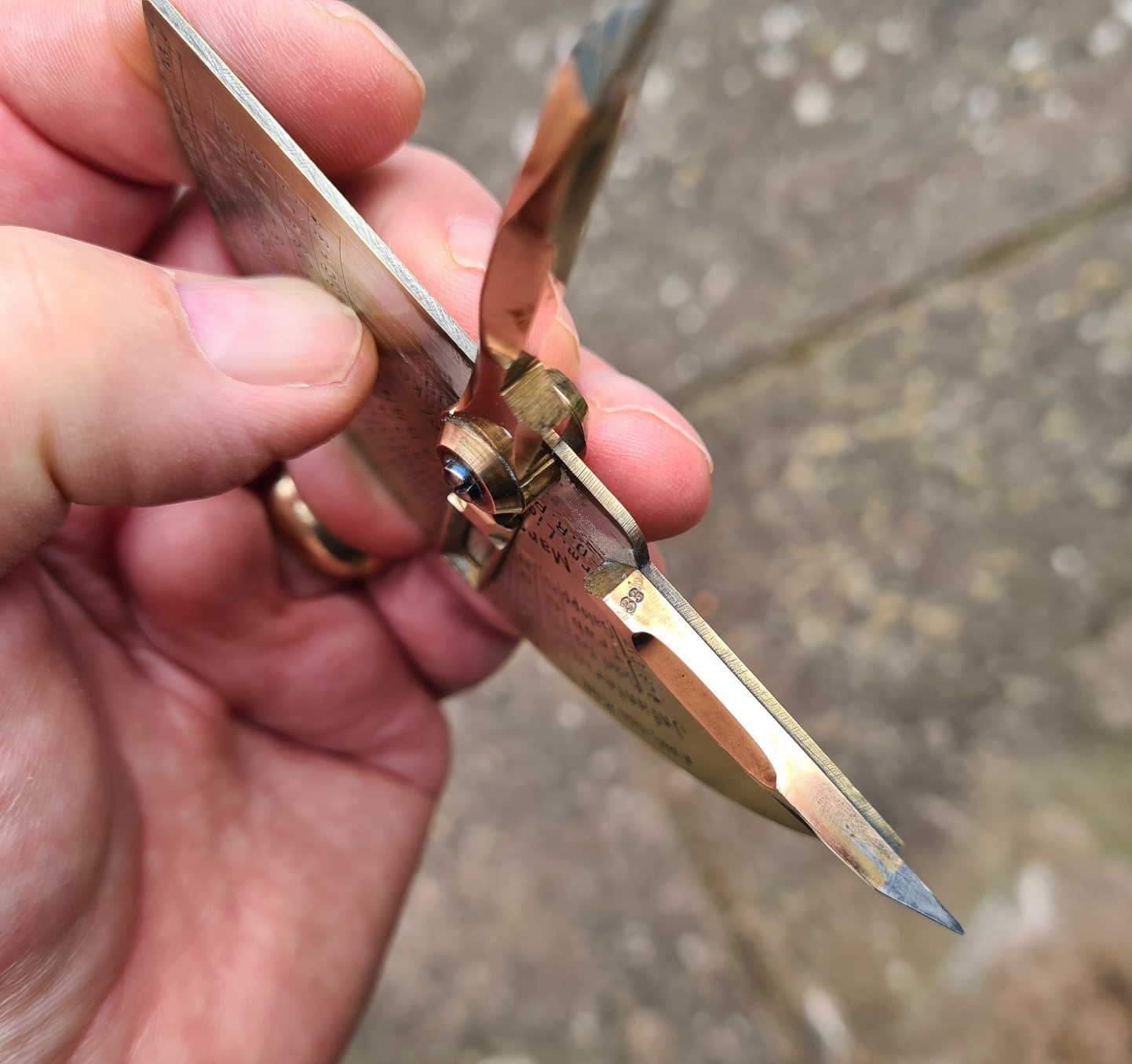
The Marsch-Zirkel is very well made. It is primarily of brass construction, reflected in its 69g weight. Each of the brass divider legs has a sharp steel point set into it. There are three blued screws. One acts as a pivot for the dividers, the other two screws attaches the plate to the fixed leg of the dividers. The number ’33’ is shown on each half of the dividers.
The maximum distance it will measure is 9km at 1:80 000 scale and 10km at 1:100 000 scale. Though obviously a longer distance could be measured in ‘steps’. The device would be less useful for measuring curves and would be mostly applied to line of sight and straight roads and tracks.
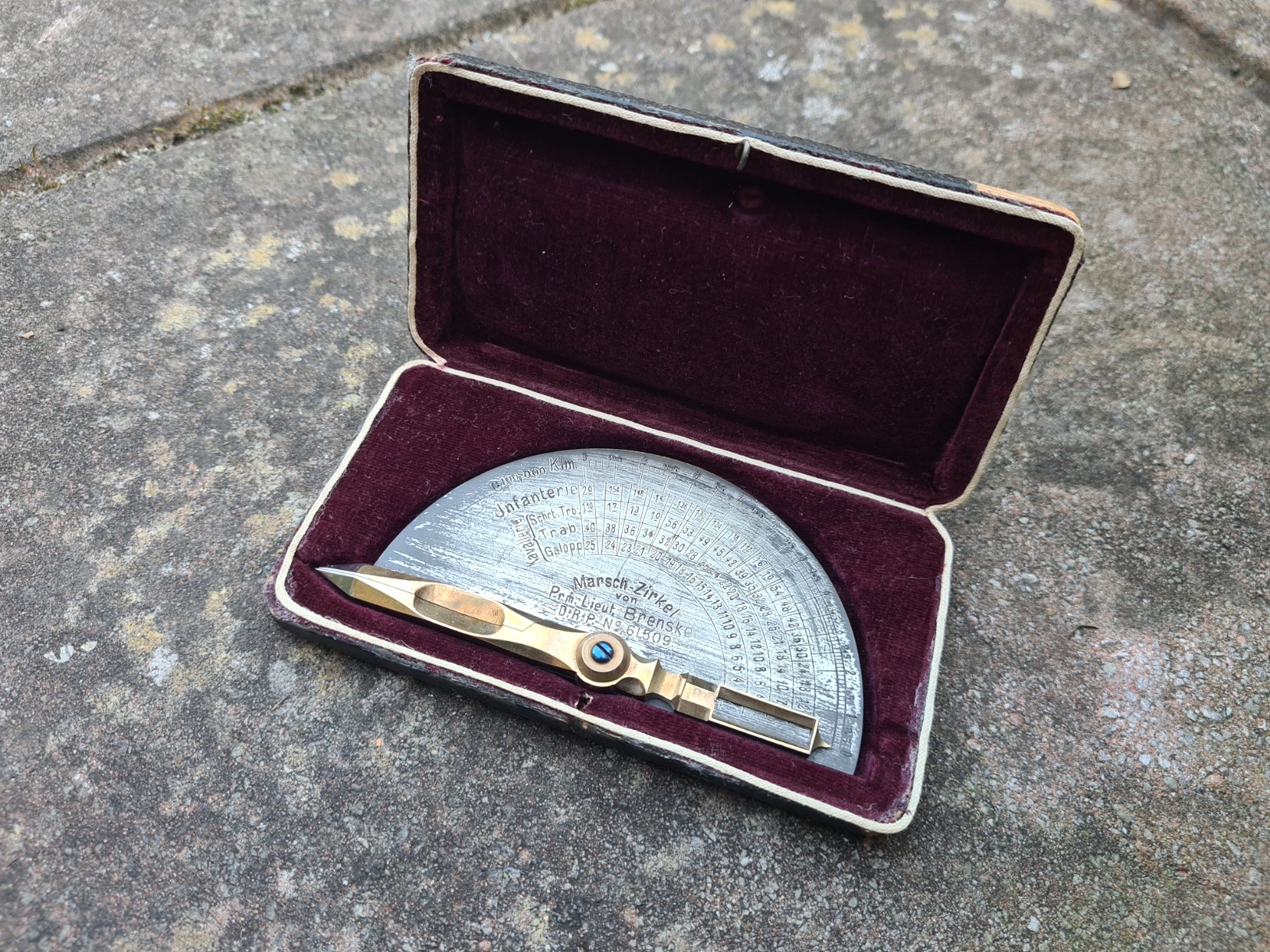
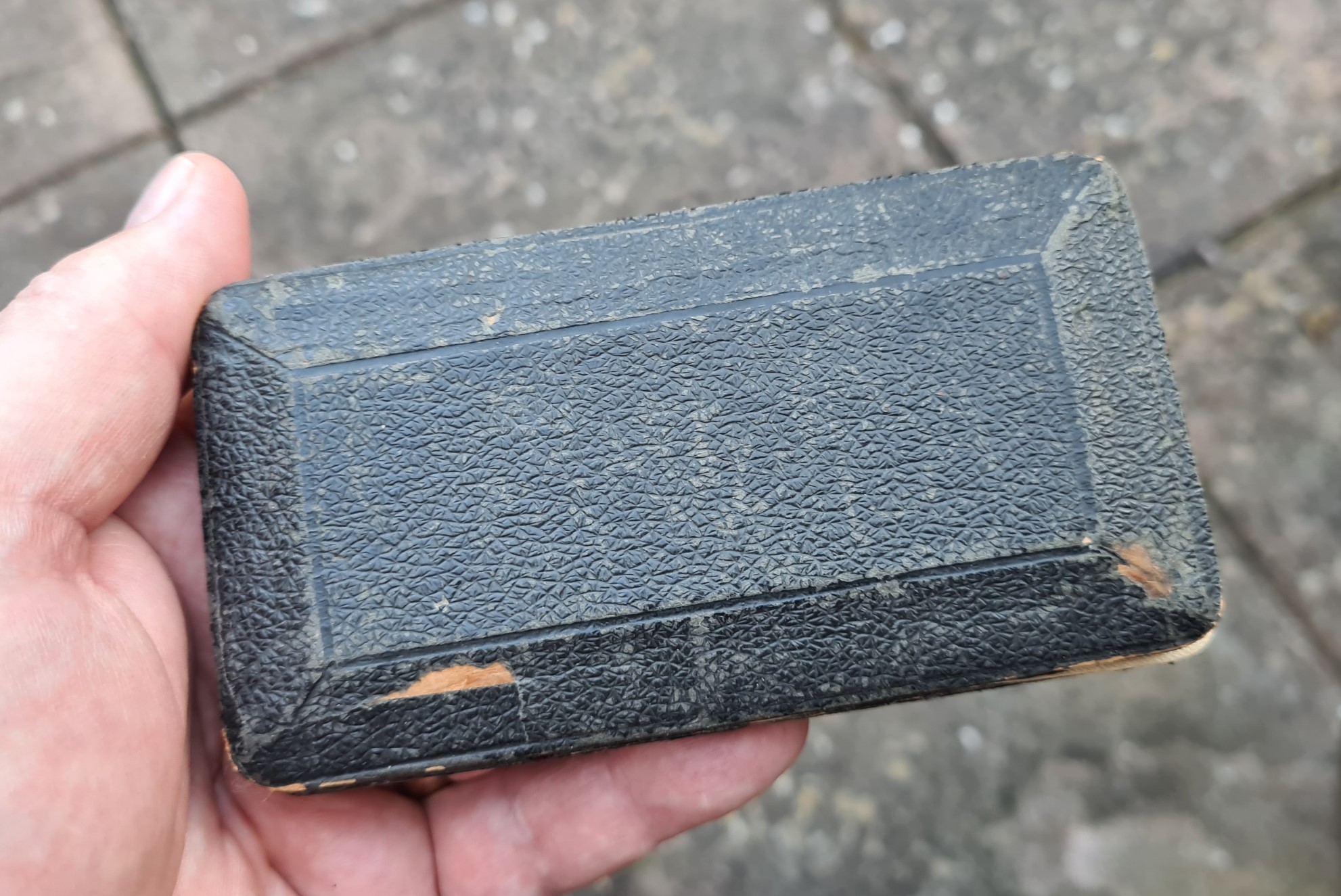
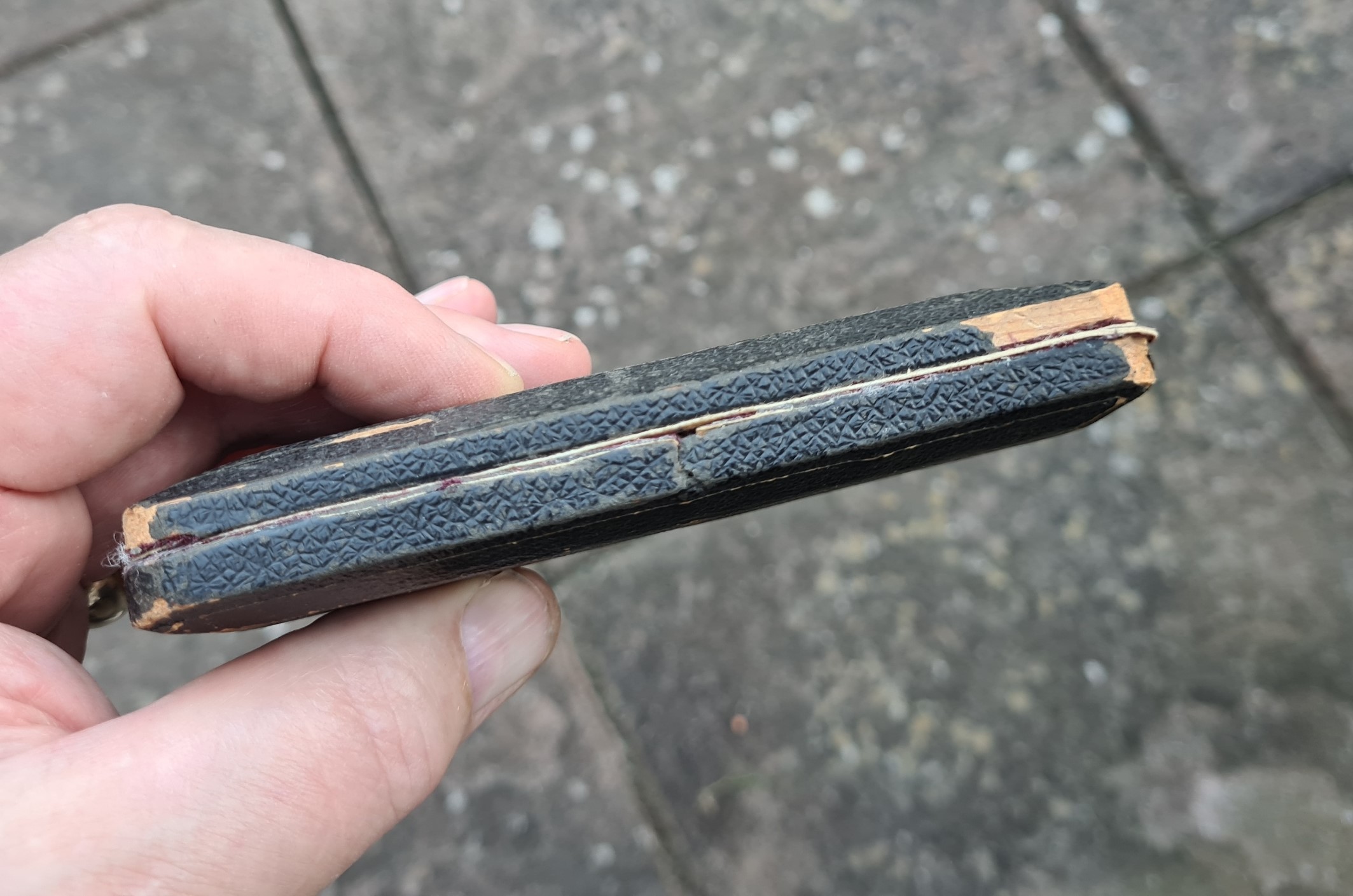
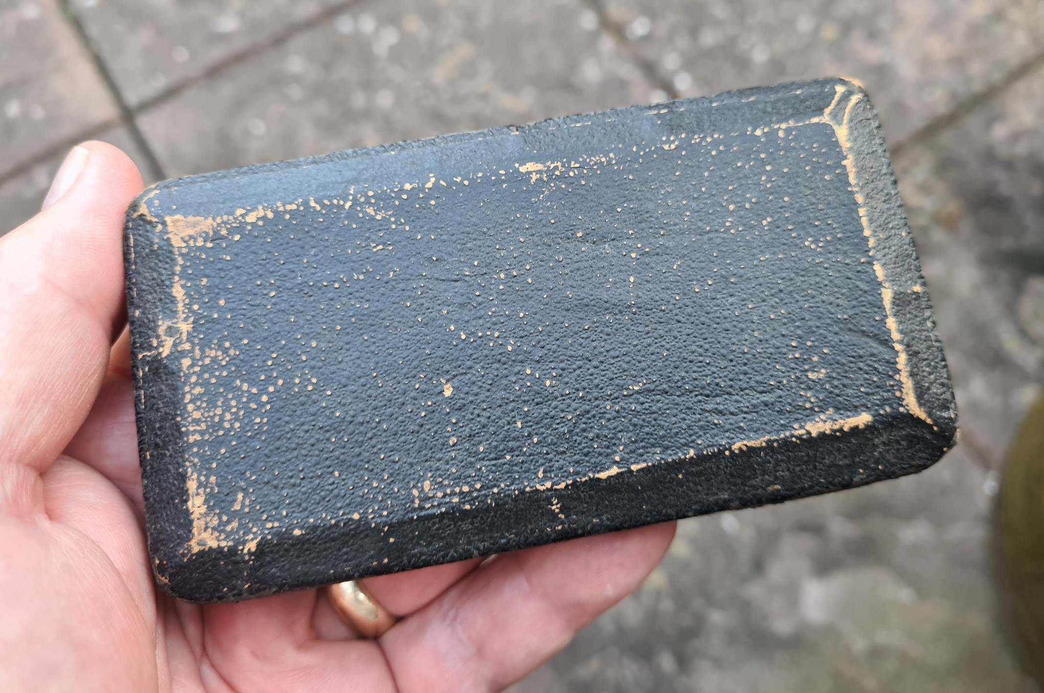
Marsch-Zirkel was supplied in a protective velvet lined wooden clam case, with pin lock (pin missing on my example). This is covered with embossed black leather. There are no markings or stickers on my example but I have seen others that have a retailer’s name applied.
Beside the name of the measure, the inventor’s name and rank is also shown on one side of the device: “Marsch-Zirkel von Prm. Lieut. Brenske D.R.P. No 61509”. The final part is the patent number. D.R.P. signifies “Deutsche Reich Patent”, a full patent with up to 15 years protection. First issued in June 1877, they continue today.
There is an example in the DM Tekniska museet collection that has slight differences to mine. Most noticeable are the addition of “Ed Sprenger” to the inscription on the face. There are some similarities between the Marsch-Zirkel and a couple of others that have previously featured as Map measure of the month. One was a flat plate that could be ‘walked’ across a map, also indicating travel time for infantry and cavalry, the other was a pair of simple brass navigation dividers. Carl’s Marsch-Zirkel brings these two together in an interesting combination.
- Map measure of the month: a Turkish military measure
- Map measure of the month: W&HC navigation dividers