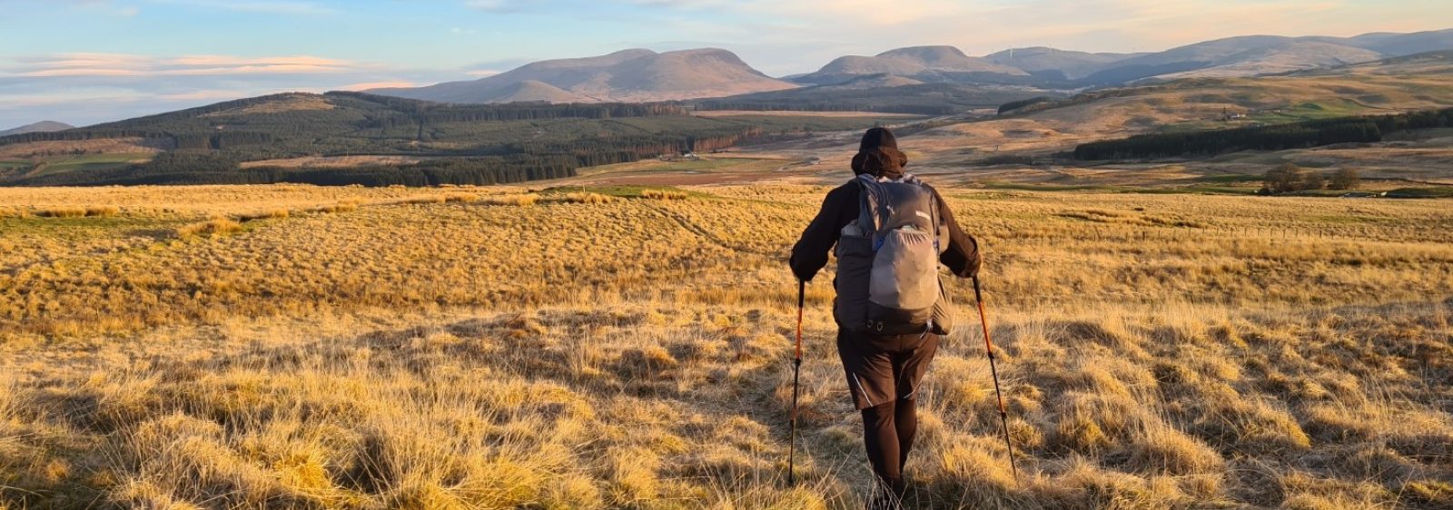
Our first day on trail starts with a rolling route across the Marlborough Downs, heading toward an Iron Age hill fort, complete with fork-tailed raptors above.
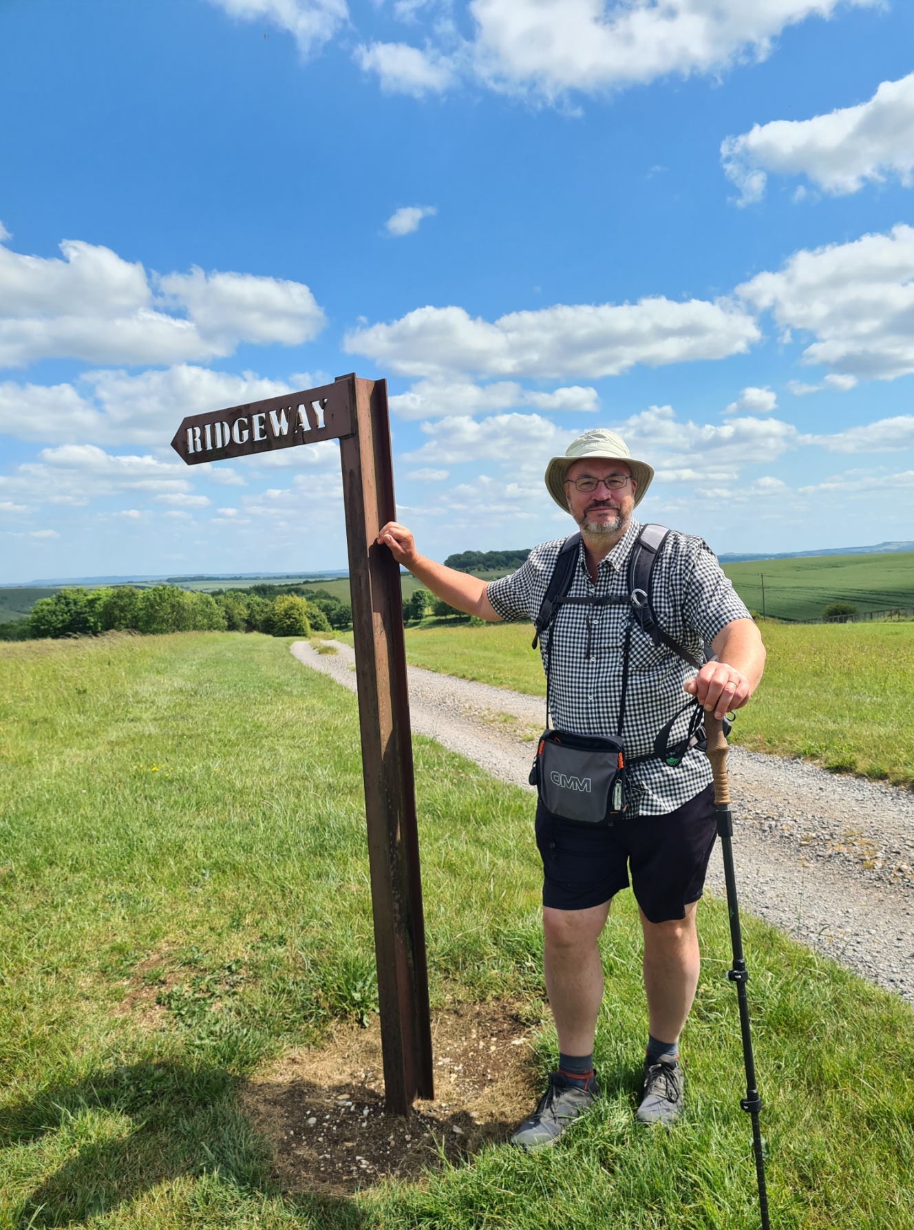
East Kennett to Ogbourne St George. 9 miles/14.5 km:
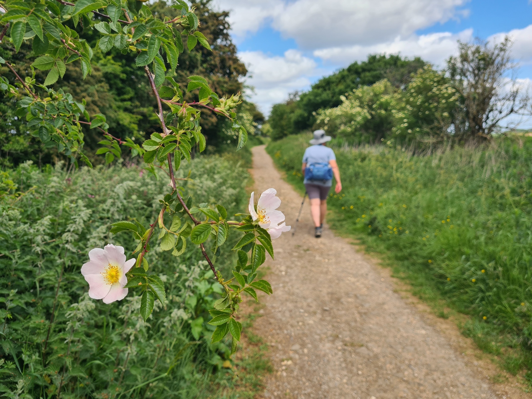
Mike and Debbie really looked after us at Dorwyn Manor and if every night’s accommodation is also accompanied by such thoughtful and kind hosts, is as comfortable, and provides such an excellent breakfast, we shall be very content on this trail. It was a Full English for brekkie, the first of many offered. No matter how good they are, I confess to getting a bit fed up with these after a few days and if an alternative is offered, will often plump for that. Despite being a fairly short first day, we hydrated well and loaded up with two bottles of water each. The Ridgeway is a pretty dry trail with spring lines far down the slopes.
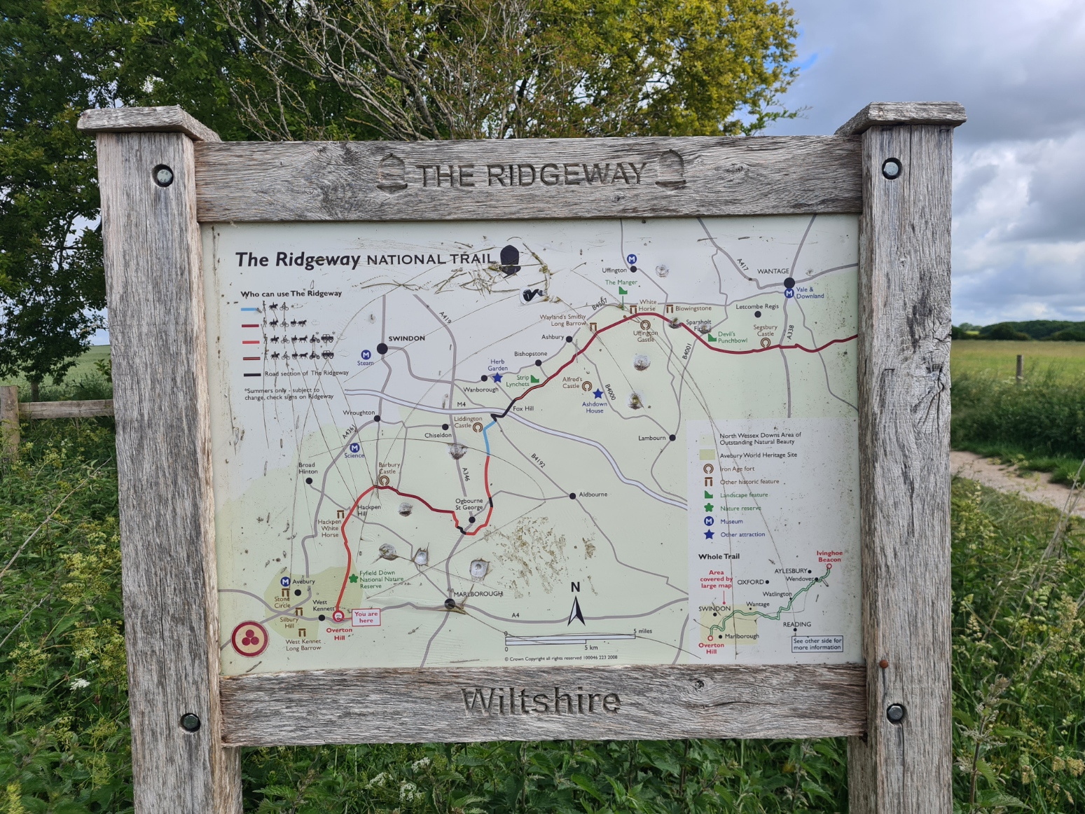
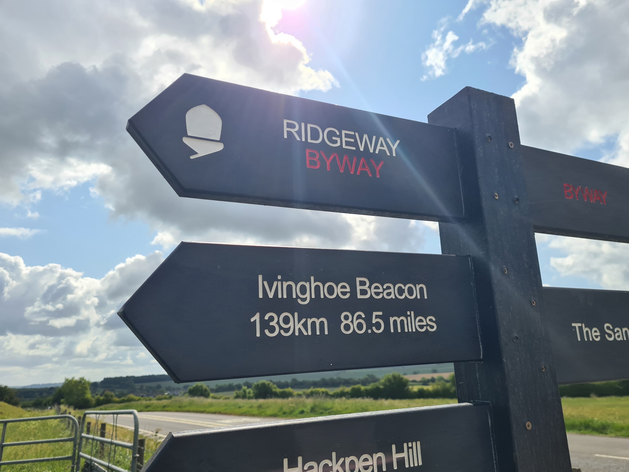
As mentioned yesterday, the Ridgeway National Trail doesn’t actually start in Avebury, though it should. Instead, it commences at the non-descript Overton Hill carpark next to the busy A4. From there it is 139km/86.5 miles to the finish on Ivinghoe Beacon. We would be adding quite a few miles to this as we would be staying at various accommodations off trail, usually having to walk down off the chalk hills in to the villages below, often labouring back up the contours the following morning to rejoin the trail. But today we had a pre-booked taxi to take us from our guest house to the official start point. Fortifying the inner man (and woman) completed, we returned to our room to lug down cases for later collection and onward transport to the next night’s accommodation. Then stood outside waiting for our transport. It arrived a few minutes early and the driver began loading cases into the back. I checked. No! He was here to collect other guests likewise walking the Ridgeway. These were Andrew, Andrew, Rick and Harry, four reconnecting friends that while pleasant enough, kept themselves to themselves. Our taxi scrunched into the gravel drive and a minute later we were off.
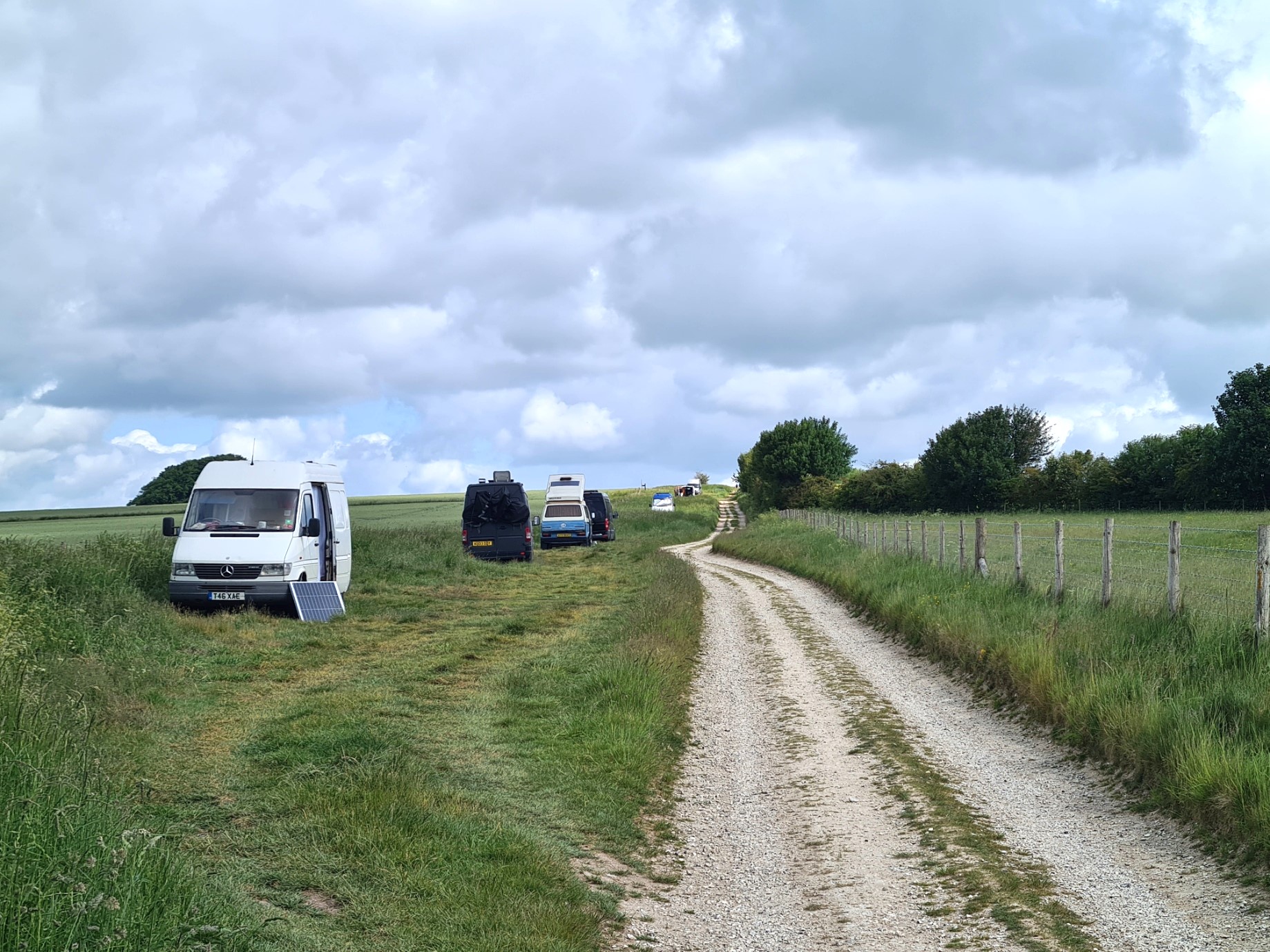
Pulling in to the small carpark, there were already a few vehicles parked, mostly vans. “Looks like the hippies are gathering” said our driver. Further vans were parked along the Byway leading up on to the chalk downs. The summer solstice is only a couple of weeks away. There are different classes of byway. This part was a BOAT- Byway Open to All Traffic.
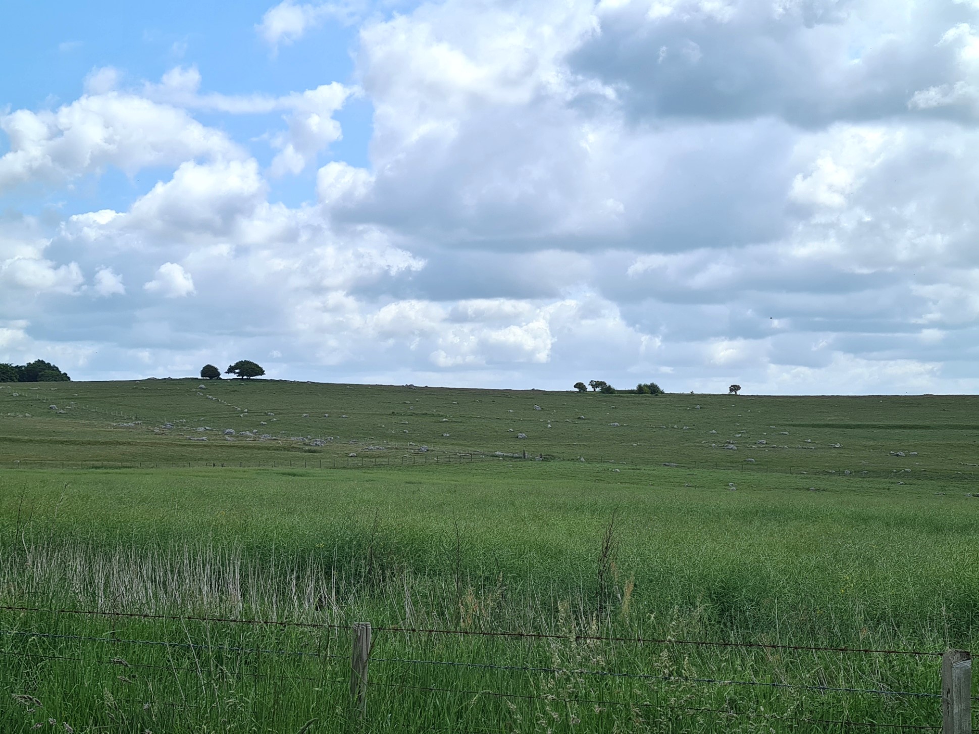
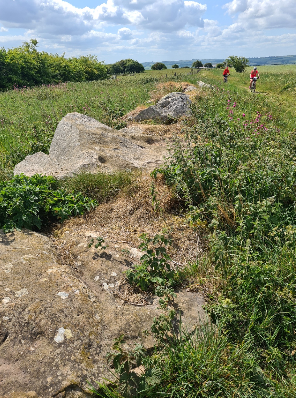
Historically most land on the shallow sloping hills beside this initial part of the Ridgeway would have been used for grazing. But much has now changed to crops and extensive fields of grain and what looked like peas and rape stretched into the distance. It seems like only steeper slopes are still used for grazing these days. It wasn’t far along the trail before we could see the grey wethers in the fields alongside. These are scattered sarcen stones. Wether is an old name for a castrated ram and it is said that the stones could be mistaken for sheep, hmmm….
Sarsens were formed as a hard silica sandstone layer over chalk during the Tertiary period. This was broken up by erosion and the subsequent large stones went on to be used in neolithic and subsequent times for building purposes. They obviously annoyed enough farmers that many have been hauled to the side of fields where they stand upright as markers, lie toppled, or lay half buried.
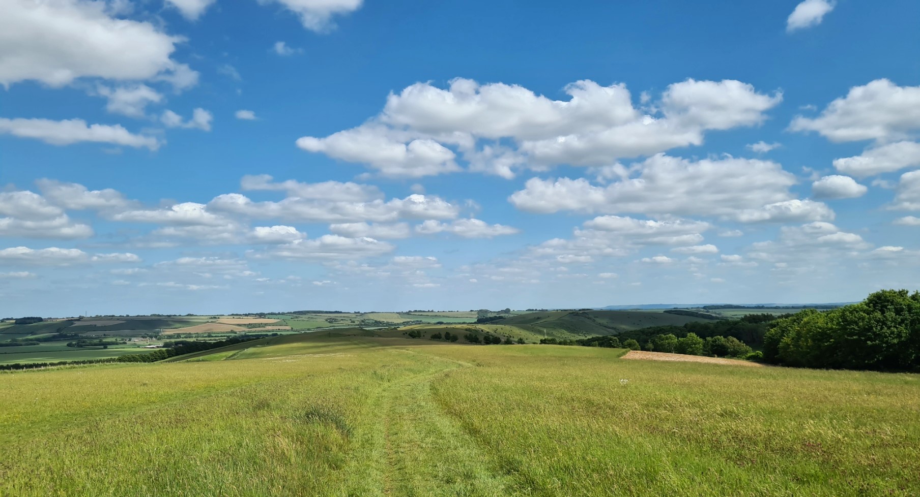
The walking is easy and a gentle introduction to the trail. Hares started, and ran on our approach. We crossed the road on Hackpen Hill. Below us to the north, unseen, was the hillside chalk figure of Broad Hinton White Horse. We had seen this from the bus taking us to Avebury yesterday. There is a 90 mile White Horse Trail that takes in all eight of the Wiltshire White Horses- Devizes, Alton Barnes, Cherhill/Oldbury, Broad Town, Hackpen Hill, Marlborough, Pewsey and Westbury. Just beyond the road crossing was one of the large circular stands of beech trees. We wandered in to its shady covering. In common with many other circles of trees standing like islands in the fields, they were growing over and around a huddle of tumuli.
Farmers were busy in one large field, cutting and bailing sileage with impressive and expensive looking machinery. The balers approached each bundle, rolled it up on to a trailer where it was clamped, rotated and wrapped, before being disgorged behind as large flattened lozenges. It was approaching midday and only a fifth of the field was done. With rain forecast tomorrow they had a late finish on the cards. The path descended then climbed up to Barbury Castle. A bit of a fanciful name, this is actually one of many Iron Age hill forts that dot the Ridgeway. In such a commanding position it isn’t difficult to see why it was created here. The two of us paused at the base of the hill path leading up to it to watch the many Red Kites wheeling and circling in the air above. No doubt they were keeping an eye out for prey being disturbed in the field we had just passed. I spotted a couple of buzzards in the air above the kites. The little monocular I sometimes carry does prove useful sometimes. Buzzards used to be the prevalent bird of prey along this trail but with the success of the reintroduction program for Red Kites, now seem to have been usurped. Standing watching the birds we were caught up by the four other hikers we had met this morning and we all stood, watching the birds. None of us in any particular rush to continue.
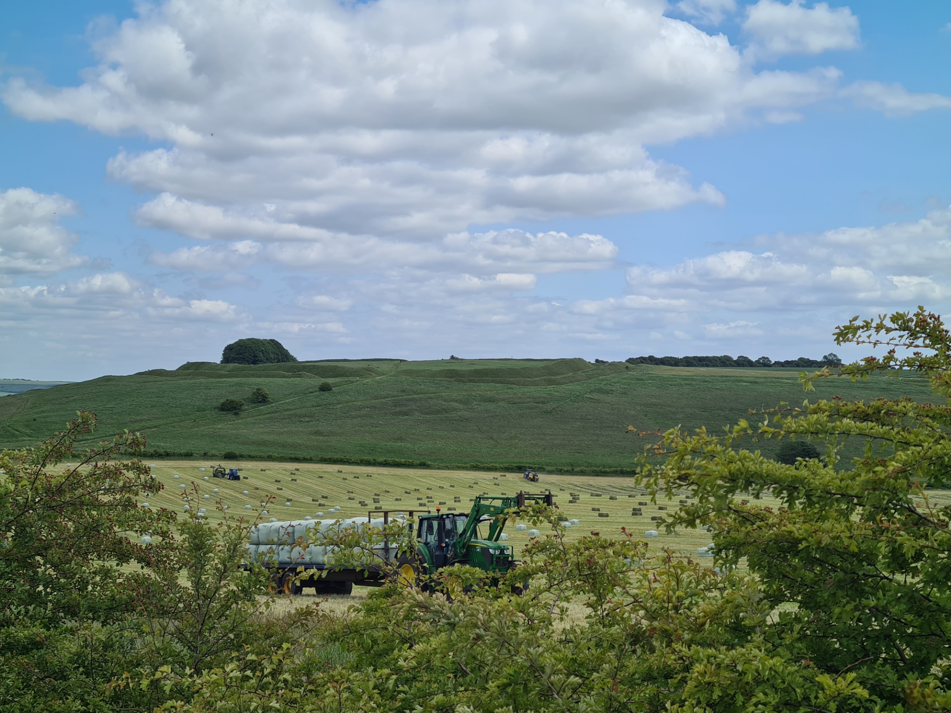
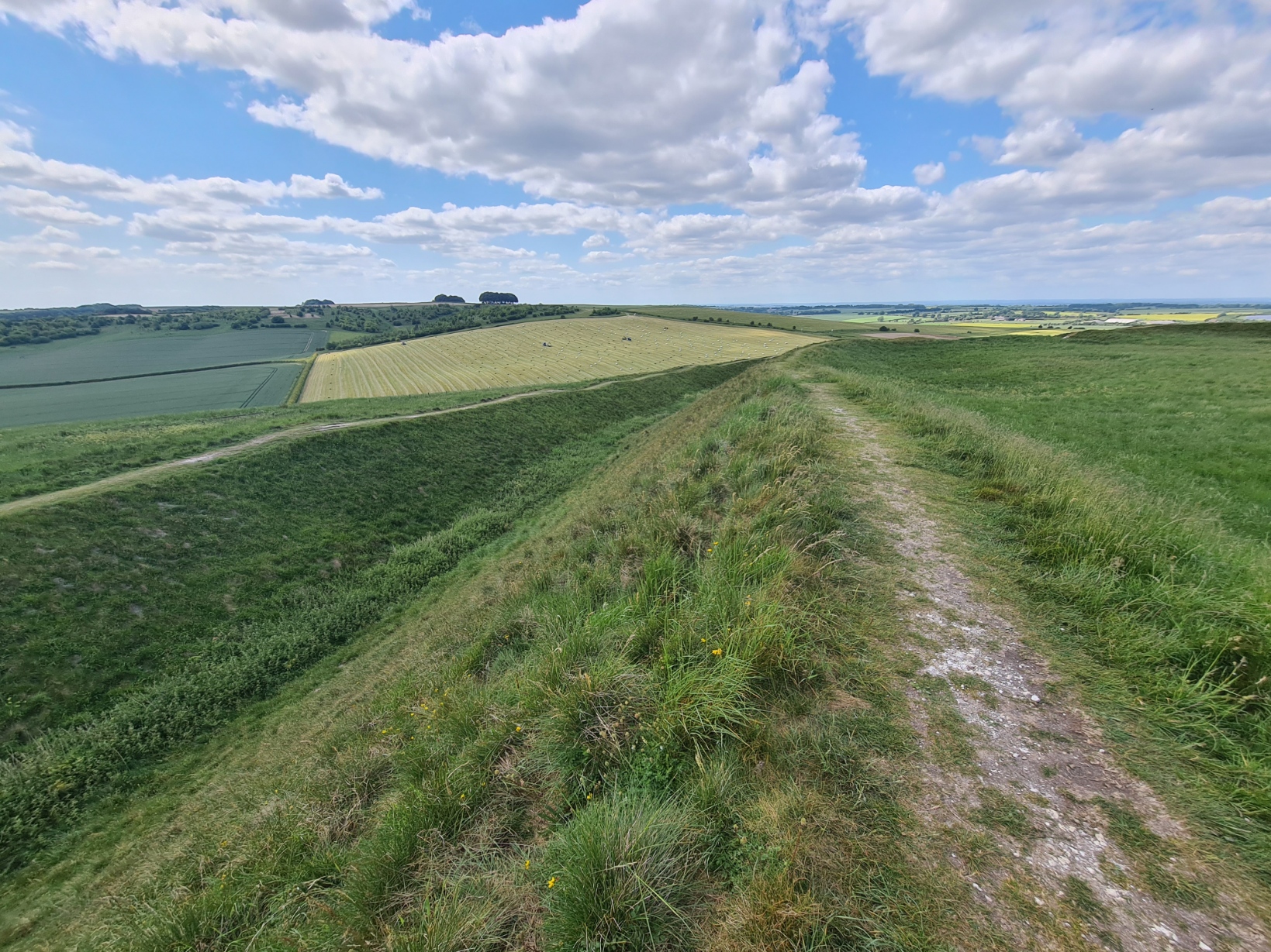
Eventually, we climbed up to the castle/fort and walked the ramparts. It is an impressively large survivor. It is one of the locations that is thought might be the place where the Britons were defeated at the Battle of Beranburgh in AD556. But seeing as suggested locations stretch from the West Country to Scotland I wouldn’t give that much credence. We continued around its circumference, eventually sitting on it’s northern slopes with a wide expansive view in front, to have a small lunch of bananas and satsumas snaffled at breakfast. Six-Spot Burnets kept us entertained on the grassy slopes of the banked rampart. Below us was the old WWII Wroughton Airfield. The old hangers, and newly constructed buildings, are now used for storage of larger museum objects, not just the Science Museum, as thought by many, but shared by many museums.
As well as hares, we now had the occasional deer running from us. Skylarks and Corn Bunting filled the air with song. Yellowhammer’s flew from field post to post. In addition to the sheep and occasional herds of cows we had seen during the day, we now started to see some of the expensive horses that graze in fields beside the Ridgeway.
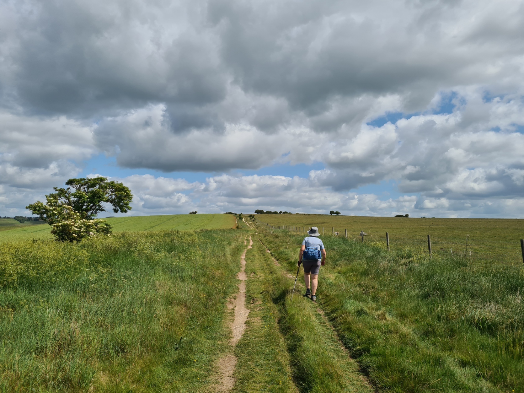
We didn’t have much more distance to cover. It was now on to Smeathe’s Ridge which is a lovely section of trail and amongst the best of the western part of the Ridgeway. The sun was quite strong and both hats remained firmly on and we stopped frequently in any shade we came to for short swigs of water. Sunscreen had been applied in the morning and it proved to have been a sensible action as it is pretty exposed along much of the first couple of days walking.
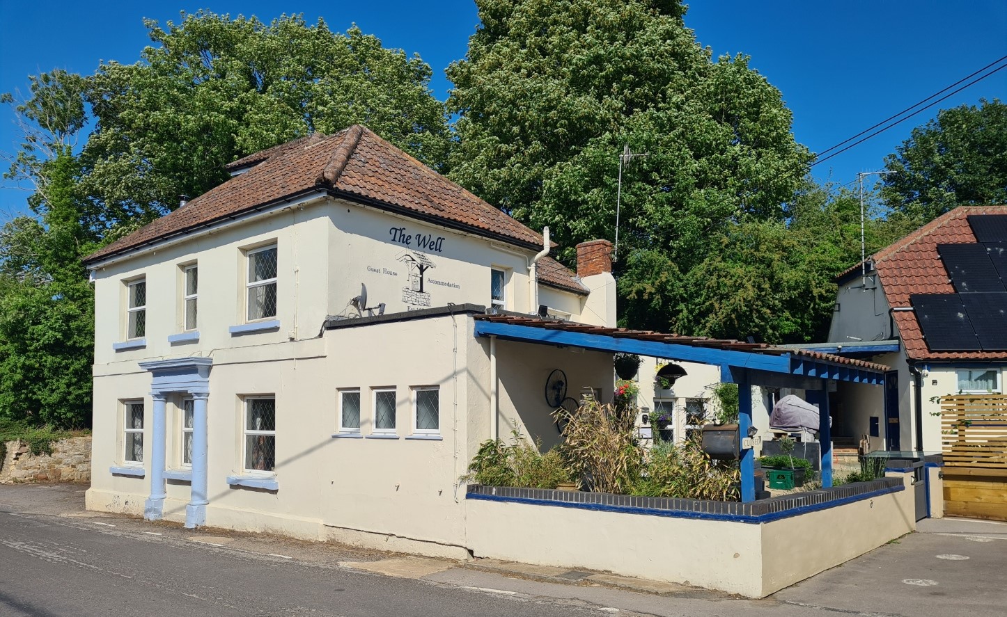
Tonight we are staying in Ogbourne St. George. Fortunately, after descending off trail, it is only a short walk through the pretty village to The Inn with the Well. I ate and had a few pints here when I backpacked the Ridgeway back in 2016 but the landlady closed it as a pub last September due to falling clientele numbers and it only operates as a B&B now, which presumably accounts for it’s now shortened name. It dates from around 1647 and has a glass covered well in the centre of the bar area. We are eating here tonight and meals are served at 19.00 which is a bit earlier than we might prefer but it had been a short day and having arrived at 16.30 we had plenty of time to scrub up, change in to sweat free clothes, enjoy mugs of tea in the room and rest before eating.
Megan and her husband Mike manage an efficiently run establishment, which included offering bottled and canned beers and a good selection of wines. Perhaps unsurprising considering it used to be an operating pub. Mike rustles up a decent meal and the two of us had pre-ordered parma-wrapped haddock with vegetables. Still hungry, I then enjoyed an equally good cheesecake, and Megan didn’t bat an eyelid when I requested custard with it. Tins of Hazy Jane and a bottle of Argentinian Malbec helped it all slip down well. It had been a good first day on trail. But rain was on the way…
- The Ridgeway- National Trail
- Short film- Grims Ditch
- 2016- Planning
- 2016- Food
- 2016- Water sources on the Ridgeway
- 2025- day zero- Arriving at Avebury
- 2025- day two- Ogbourne St George to Woolstone
- 2025- day three- Woolstone to Letcombe Regis
- 2025- day four- Letcombe Regis to Goring
- 2025- day five- Goring to Watlington
- 2025- day six- Watlington to Princes Risborough
- 2025- day seven- Princes Risborough to Aldbury
- 2025- day eight- Aldbury to Ivinghoe Beacon and the Bridgewater Monument

4 replies »