
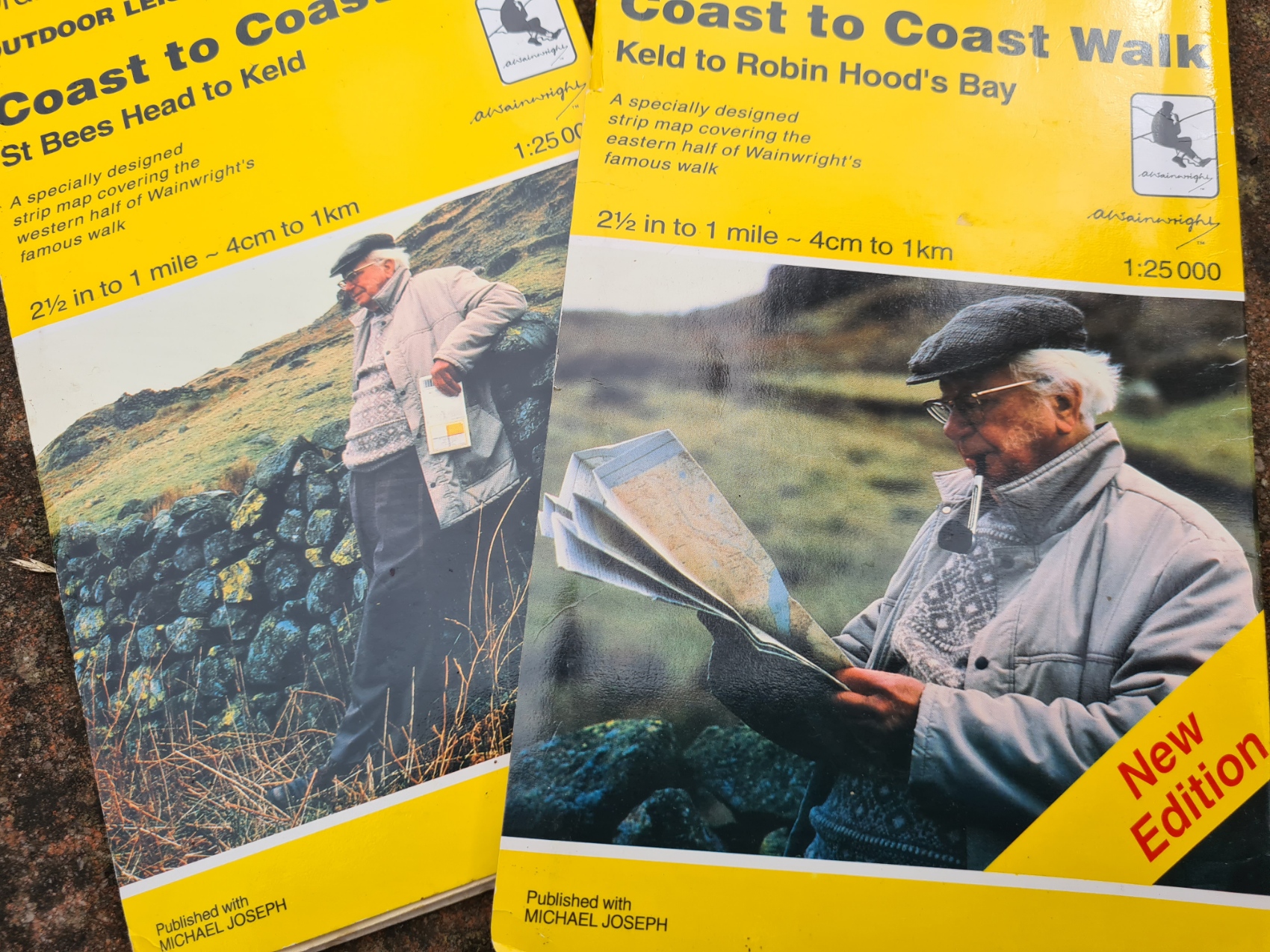
These now hard to find sheets were specially designed strip maps for Wainwright’s famous Coast to Coast Walk.
The creation of the Coast to Coast Path National Trail was approved by Lord Benyon, Parliamentary Under Secretary of State (Minister for Rural Affairs, Access to Nature and Biosecurity) on 25 July 2022. However this is no new trail and has been around for quite a few years. The ‘new’ path is based on Wainwright’s Coast to Coast, established in 1973. Wainwright’s Coast to Coast is already a popular trail with an estimated 6000 people walking the trail each year, of which around a quarter are from overseas. Many people also walk just parts of the trail. It is very likely to become even more popular following the recent upgrade in status. The path crosses northern England from the Irish Sea to the North Sea, taking in three National Parks as it does so: the Lake District, Yorkshire Dales and North York Moors. Various distances are given for the path, usually between 182 and 197 miles. There are a handful of alternates over it’s length so the distance walked will vary for most people. They will have also climbed some 29000 feet (8900 metres) during that time. Alfred Wainwright walked across England in 1972 and his route was shown in his book ‘A Coast to Coast Walk’, first published by the Westmoreland Gazette in 1973.
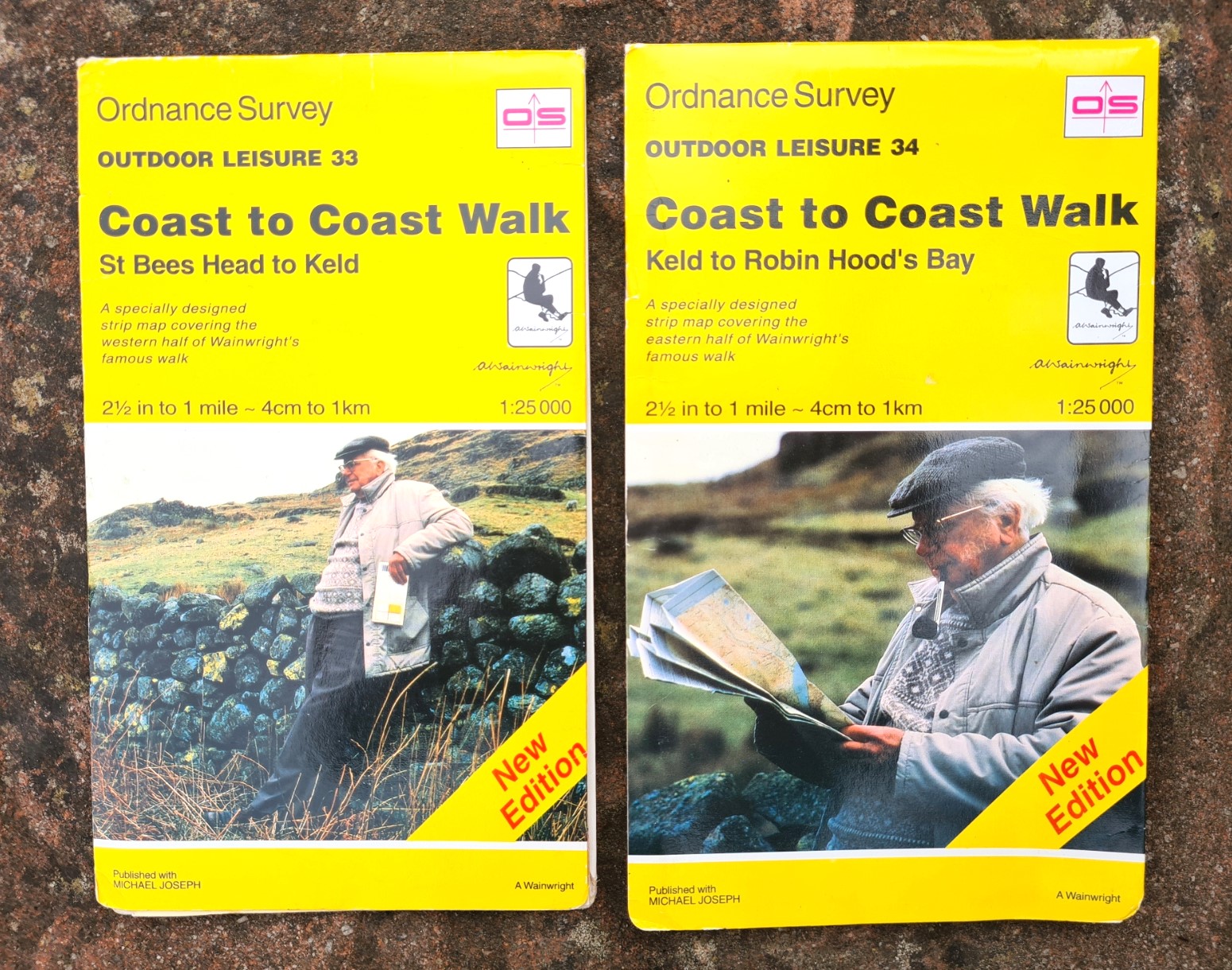
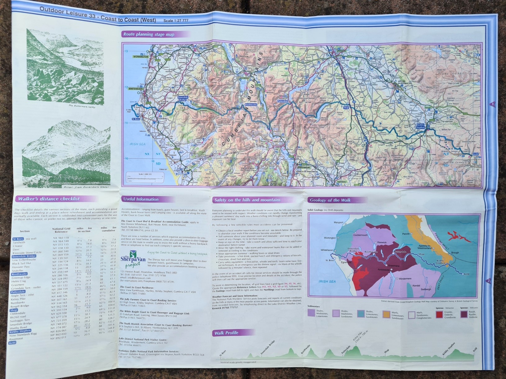
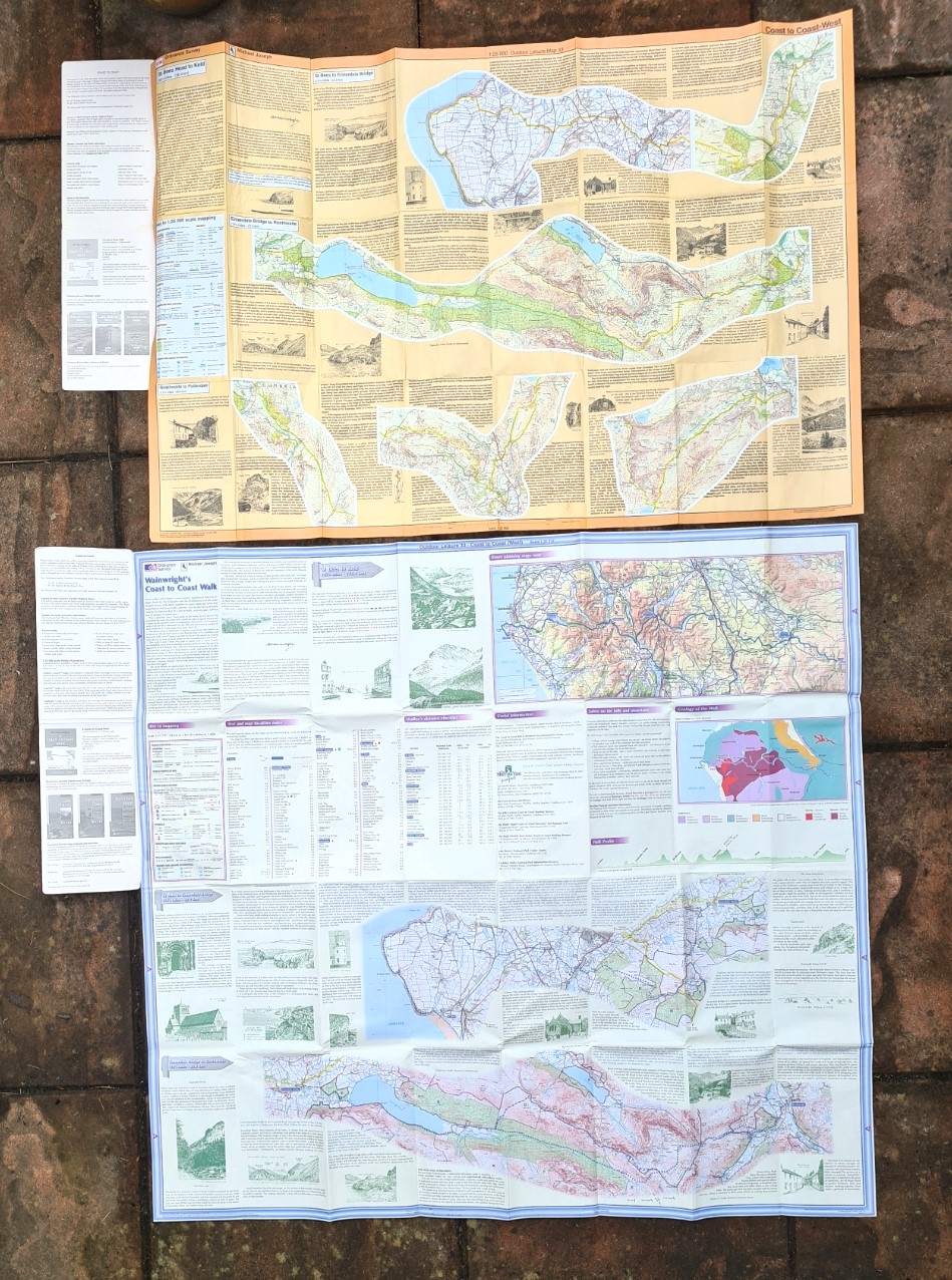
The Ordnance Survey introduced their First Series of 1:25 000 scale maps in 1945. Second Series 1:25 000 Pathfinder maps were introduced in 1965 and the series extended in 1972 to include 1:25 000 Outdoor Leisure. The Outdoor Leisure (OL) maps were produced for popular areas that were visited for specific ‘outdoor leisure’ activities- walking, climbing, cycling etc. Two of the maps in this series, OL 33 and OL 34. are particularly interesting as not only were they particularly useful to those attempting the Coast to Coast Walk, but were also well designed and quite attractive, printed on a yellowish paper. I would argue they are still useful for planning purposes, while a handful of hikers still use them ‘on the ground’.
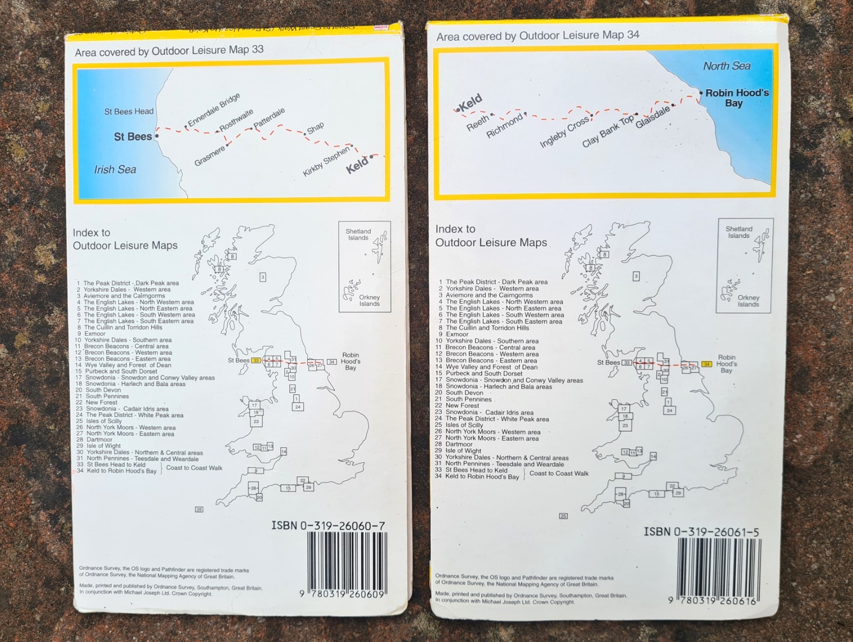
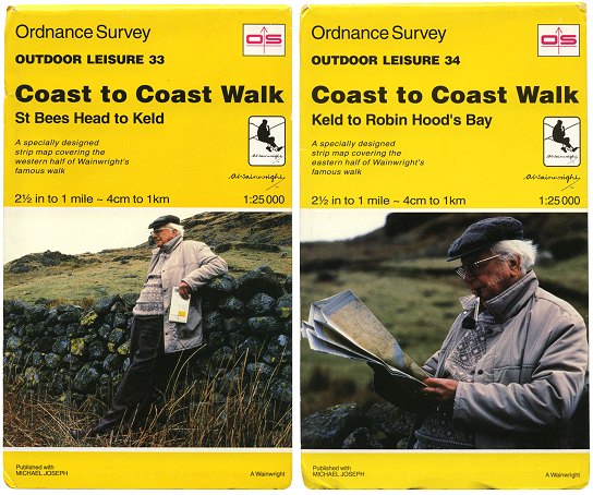
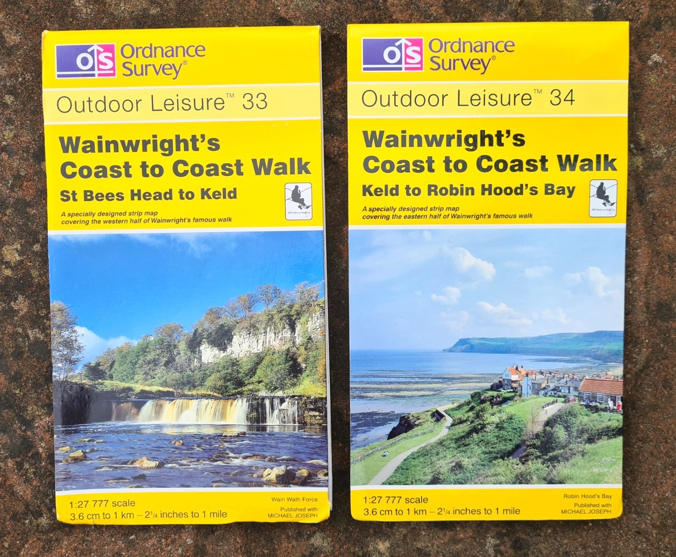
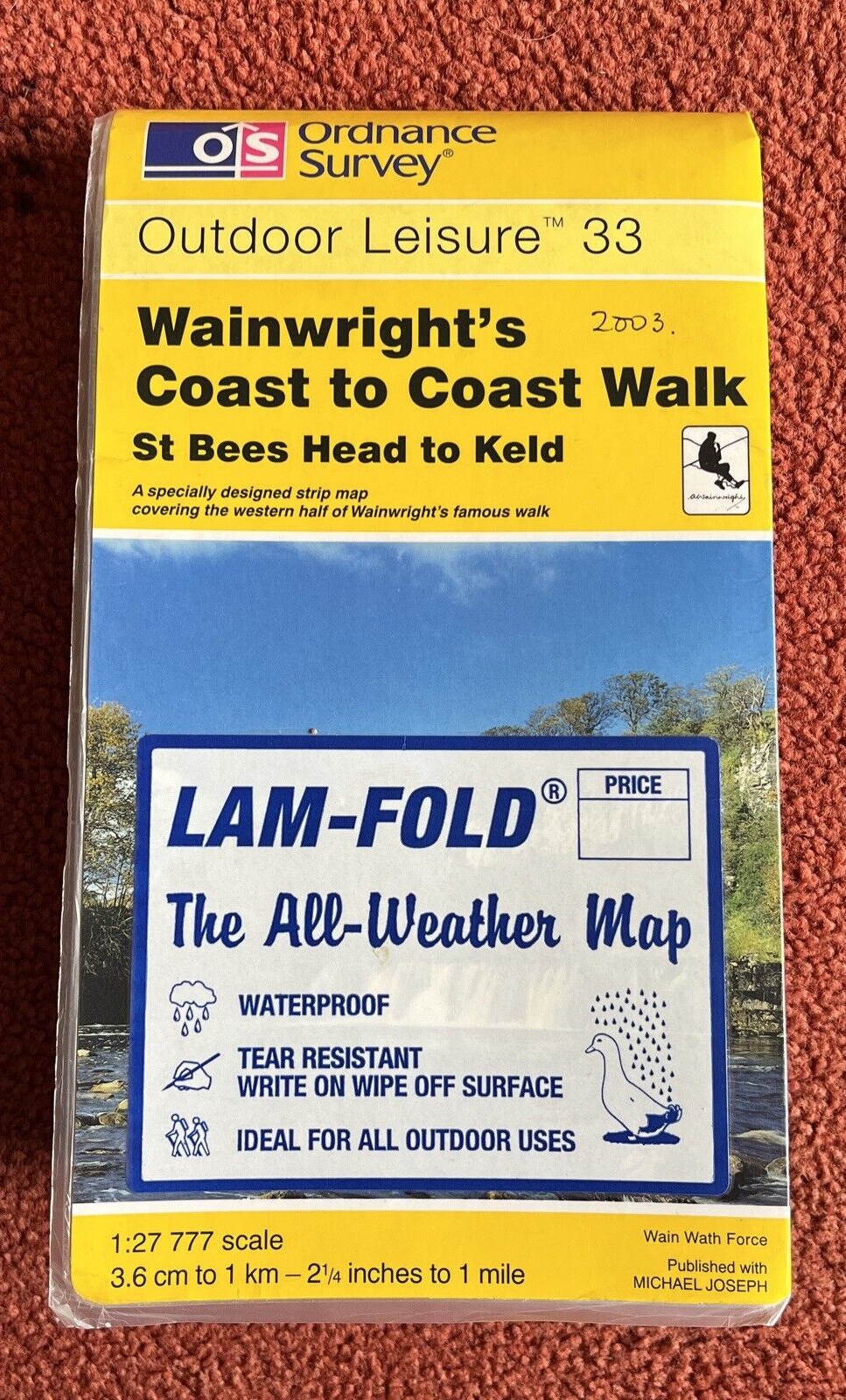
- Ordnance Survey Outdoor Leisure 33 Wainwright’s Coast to Coast Walk- St Bees Head to Keld.
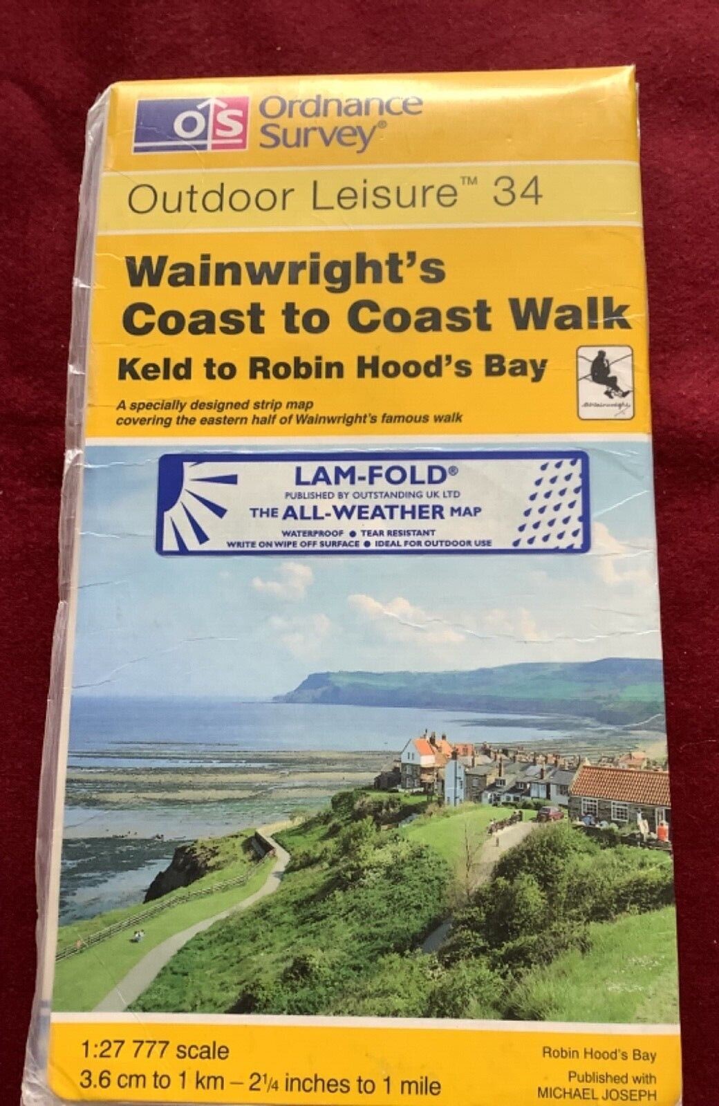
- Ordnance Survey Outdoor Leisure 34 Wainwright’s Coast to Coast Walk- Keld to Robin Hood’s Bay
The maps were published as a joint venture between the Ordnance Survey and Michael Joseph, the publishers of Wainwrights guide books. The two sheets were first published in February 1994 then revised in May 1995. The revised editions can be identified by the words ‘New Edition’ on the cover. Both were printed at the standard series scale of 1:25 000. This is 4cm to 1km / 2 1/2 inches to 1 mile. The creation of these strip maps must have been a godsend at the time for those wanting to carry a paper map as there were few options then available. No digital maps on phones back then!
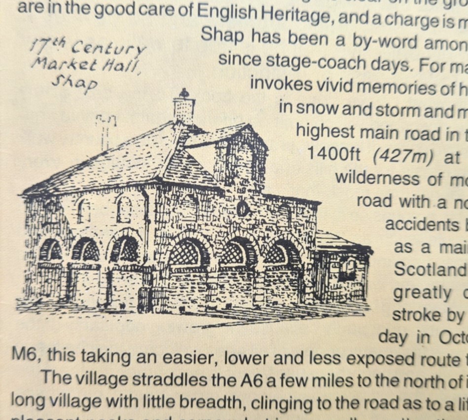
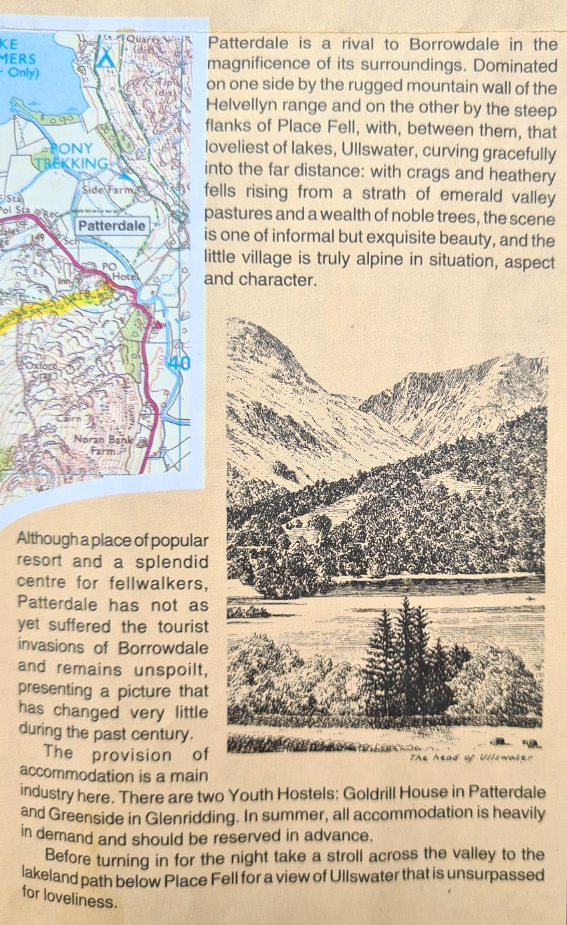
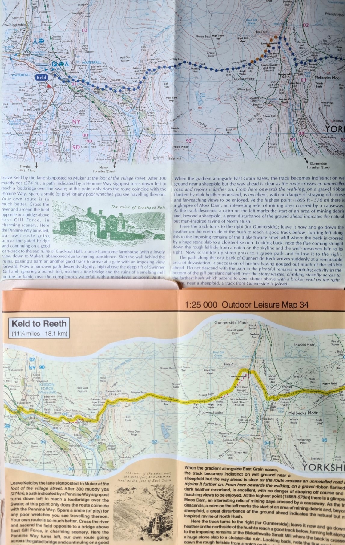
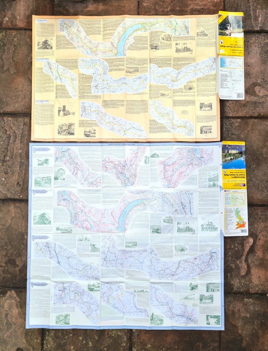
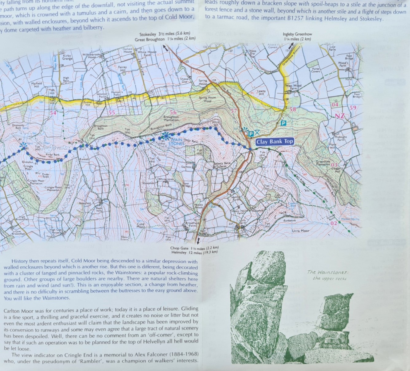
Each was a specially designed strip map with Wainwrights famous walk highlighted. OL 33 covered the western half, OL 34 covered the eastern half. Along with the strip maps, text from Wainwright’s guidebook was included, with attractive vignettes, sketched by the man himself.
When the route to the Coast to Coast path was published in guidebook form it was very quickly realised that some miles were not on public rights-of-way and some re-routing was required. Some of the route changes were to alternative rights of way while some landowners were content to grant permissive path status. The 1998 reprint of the guidebook carried these changes and the O.S. felt the need to bring out a further revised printing of sheets 33 and 34 that also reflected these changes. These were published in March 1999.
This final edition was not some simple edited reprint, it was a complete redesign of the product. Extra vignettes were added, Also now included was a ‘route planning stage map’, localities index, a distance checklist, walk profile, the geology underfoot and other useful information such as baggage companies and safety on the hills info. The size of the sheets increased as a result, however I feel the printing quality has decreased and despite now being printed on a whiter paper, the maps in particular are a bit blurry, lacking the crispness of earlier editions. A real shame as this detracts from the extra information included and the beauty of Wainwright’s sketches is partly lost.
There were also changes made to the covers of the 1999 revised editions. Wainwright’s name was added to the title and his image removed from cover photographs. Oddly, both were now printed at 1:27 777 scale. This is 3.6cm to 1km / 2 1/4 inches to 1 mile.
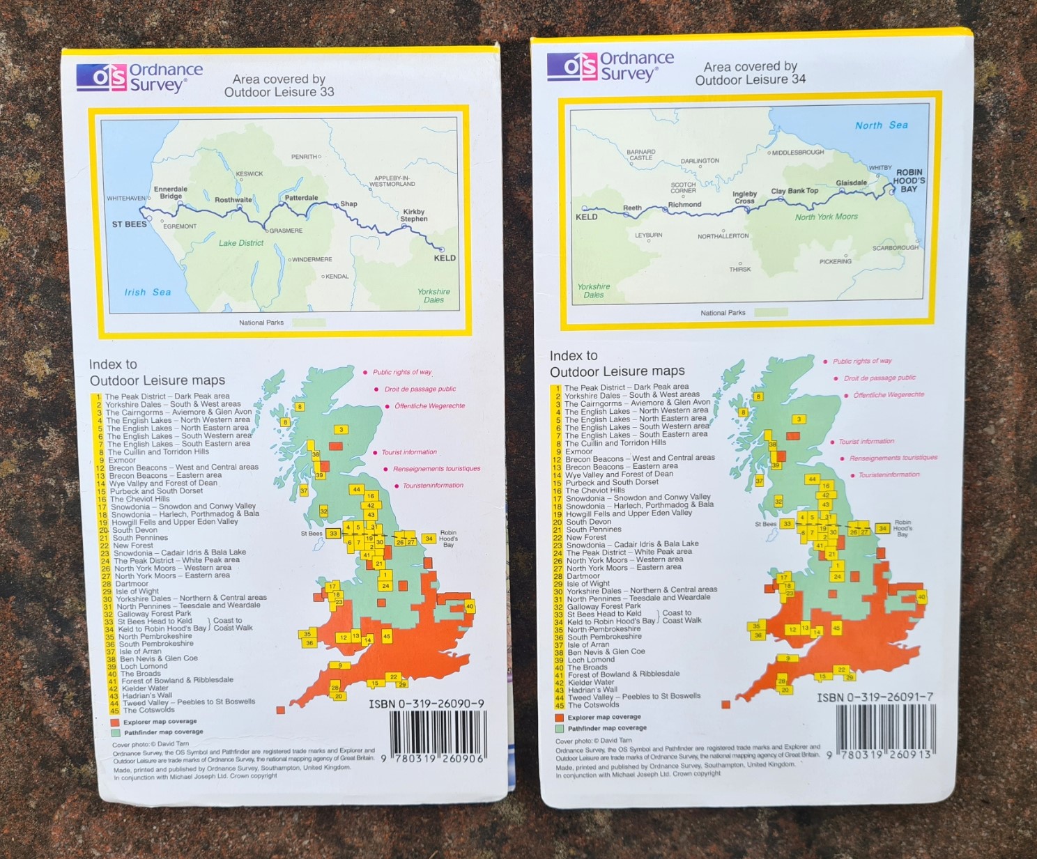
- Ordnance Survey Outdoor Leisure 33 Wainwright’s Coast to Coast Walk- St Bees Head to Keld.
- Ordnance Survey Outdoor Leisure 34 Wainwright’s Coast to Coast Walk- Keld to Robin Hood’s Bay
Good as they are, there are faults with Ordnance Survey maps. They are paper, so can degrade when wet. They are also quite heavy, especially when many sheets are carried, and a bit ‘flappy’ in the wind. Laminated editions of both sheets answered the vulnerability to water issue, but made then still bulkier, even heavier and were more expensive.
Despite the useful niche these filled, in March 2002 the two specialised maps were both discontinued when the Ordnance Survey decided to withdraw from this specific co-publishing venture.
Just to confuse people, following the withdrawal of these two sheets from their portfolio, the two sheet numbers were reused by the Ordnance Survey. OL33 became their Explorer map of Haslemere & Petersfield (Midhurst & Selborne) sheet number OL33 , while OL34 became their Explorer map of Crawley & Horsham (Cranleigh & Billingshurst) sheet number OL34, both at a scale of 1:25 000.
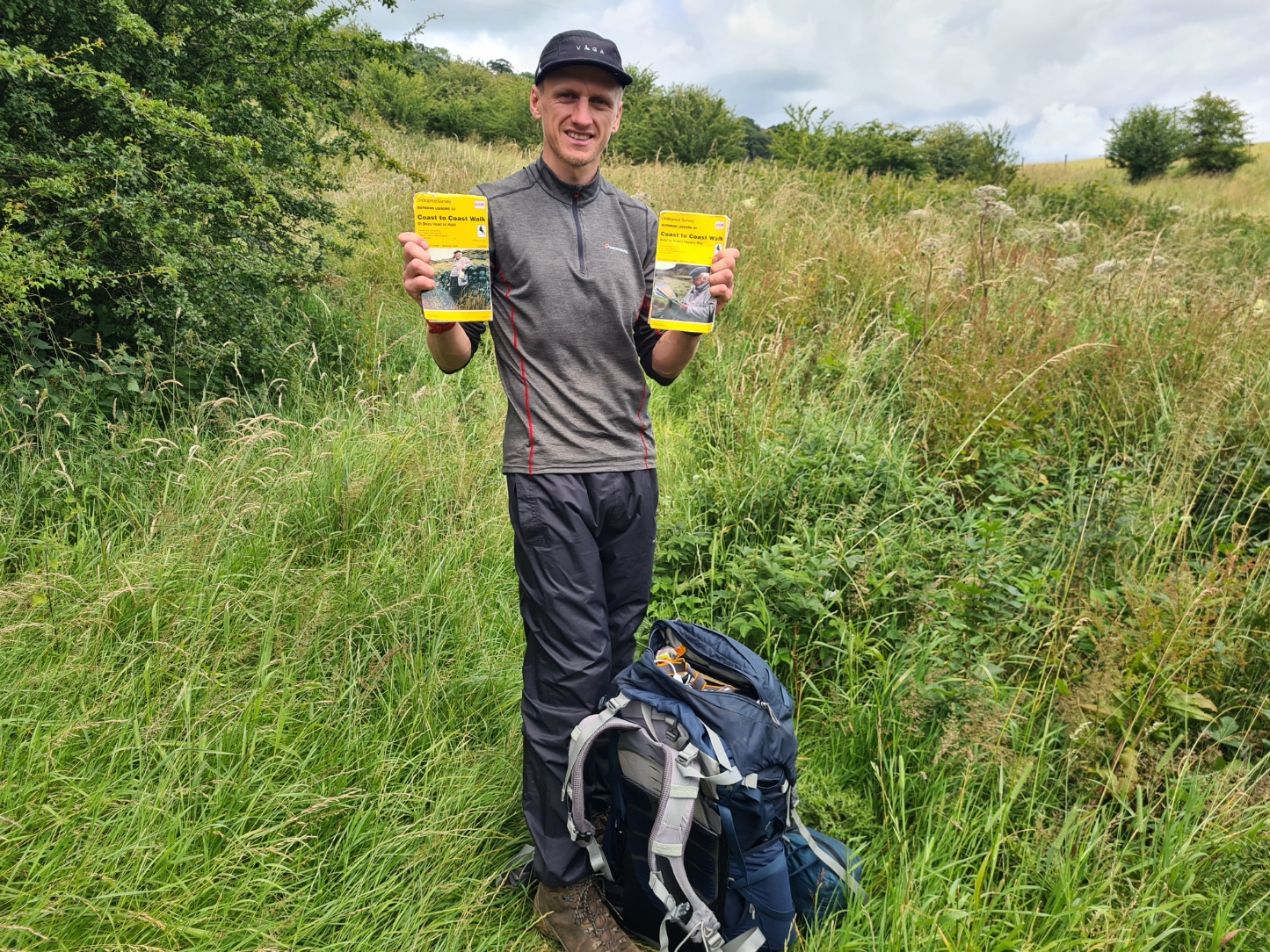
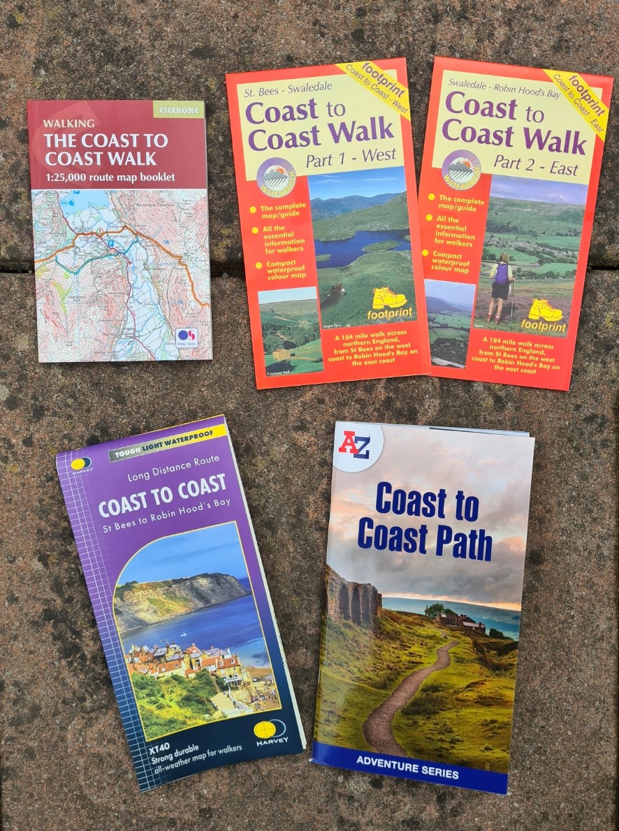
Now, if carrying the O.S. 1:50 000 scale Landranger maps for the Coast to Coast Walk, then eight maps are required: O.S. 89, 90, 91, 92, 93, 94, 98 and 99. However the greater accuracy provided by the 1: 25 000 Explorer series would be preferred by many. There are ten of these: O.S. 302, 303, 304, OL4, OL5, OL7, OL19, OL26, OL27 and OL30. Taking either of these series would be an expensive and bulky undertaking, and the A-Z Adventure Series Coast to Coast Path map booklet shown below goes a long way to reducing both cost and weight. This booklet form product contains O.S. 1:25 000 strip maps with highlighted route. Sadly, there is no map option now available that also incorporates Wainwright’s text and sketches. Purely functional may have replaced the ascetically pleasing, but when I backpacked the trail W to E in July 2024, approaching Black Sail YHA on my second day on the Path, I met and chatted to a father and son walking E to W. They were using the 1995 editions of 33 and 34 and had found them still admirable when used alongside a decent guide book. Days later I met Adam, also relying on first editions of the old strip maps alongside O.S. Maps on his phone.
When I walked the Coast to Coast neither of these older maps accompanied me. An upgrade in status to National Trail has meant that money has been made available for improvements to gates, stiles, signposts and some susceptible surfaces. 9.7 miles of new public footpath were created, 5 miles of existing public rights of way realigned and 9 miles of new public bridleway created. Older maps such as OL33 and OL34 are therefore no longer accurate for the whole trail and I preferred carrying the latest sheets I could source. As a ‘National Trail’, The Coast to Coast is scheduled to officially open in 2025 and sadly Wainwright’s name has been dropped. Until new maps are created to reflect changes in route there are already lighter and accurate map options available. Some are even waterproof. One of which, the Harvey 1:40 000 Coast to Coast map, I carried on the trail. There are also very good digital map options and I had the HiiKER app on my phone though seldom had need to refer to it.
This post is not intended to persuade anyone that they should purchase these maps for themself, just to share and encourage an appreciation of the analogue ‘hard copy’ over the digital and the particular attractiveness of these two older sheets. Just about any edition of these two maps is pretty hard to find now. But thanks to Walking Places digital copies were made available online. Also shown below.

3 replies »