Back in August, I wrote about a particular trail I have been completing this year. This was my report on having completed around half of the London Countryway, a ‘forgotten’ trail that was bought to my attention by Hillplodder. As it turned out, I was nowhere near the half way point.
Throughout 2016, in between other walks, in particular a backpacking jaunt along the Ridgeway and some walking in Sicily and other places, many Sundays were spent travelling to and from various railway stations on the Countryway as I worked my way round in linear fashion.
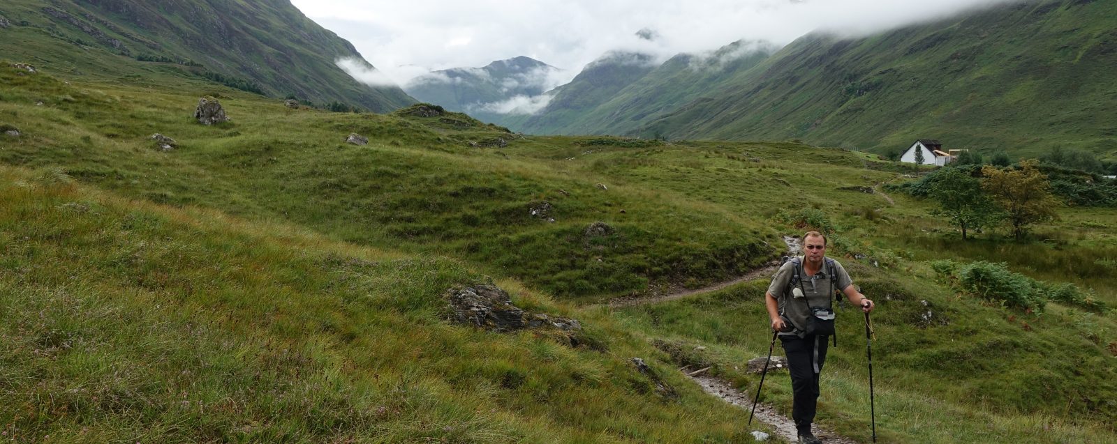
Following the London Countryway between Marlow and High Wycombe. The gentle and pretty landscape as I left the Thames became progressively more agricultural on the northern sections
The climb up and out of the Thames basin took me up into the Chilterns, crossing the grain, as it were, saw me rollercoasting up and down their modest ridges. Views were few and largely unspectacular. The going was mostly pretty easy on both legs and lungs. I had enjoyed the first half of my London Countryway walk, below the River Thames, I found the second part to its north very different. The flavour of the trail altered dramatically, if steadily, the further I moved East
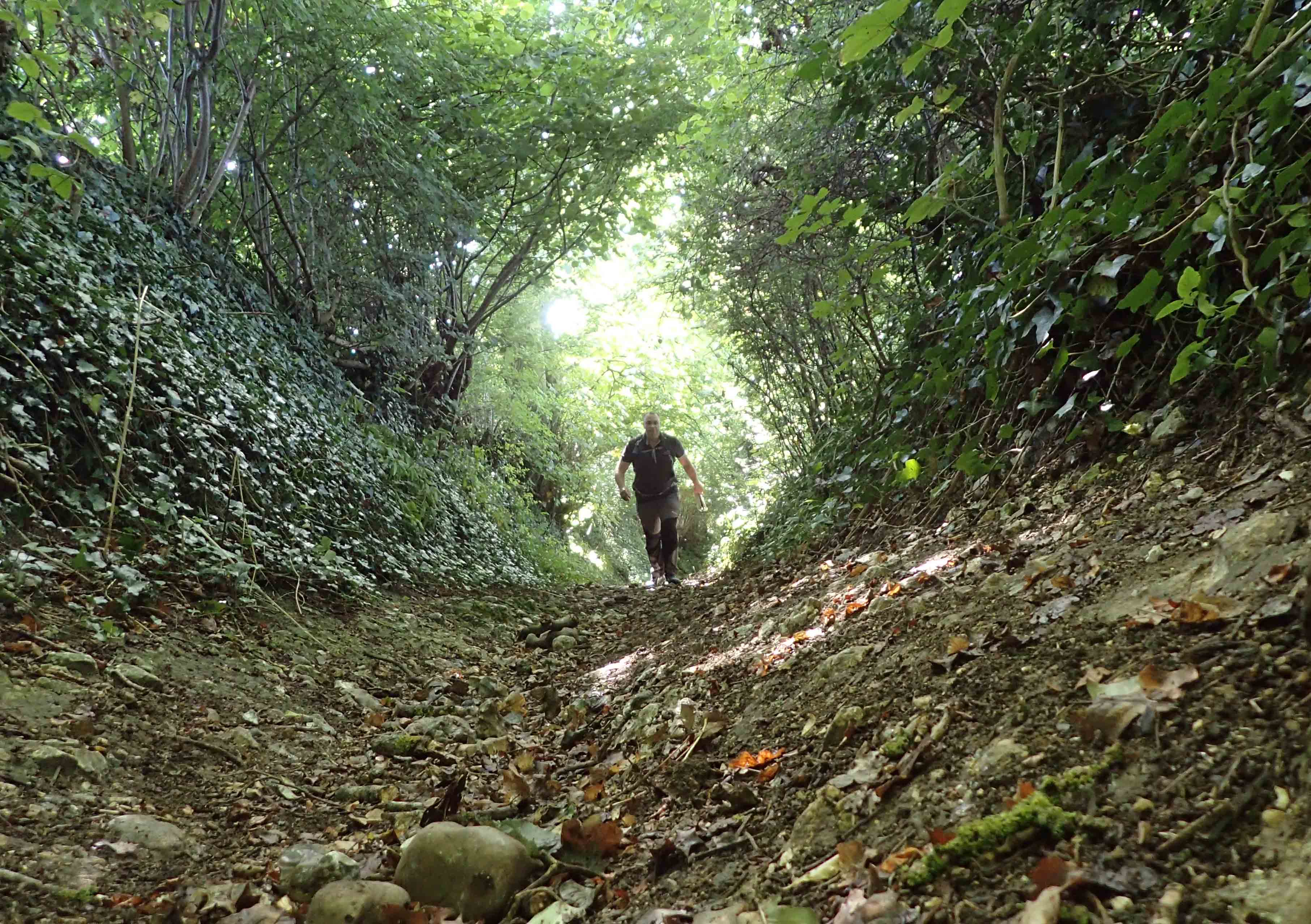
The sunken lanes in the Chilterns were a delight and bought to mind the countless feet that must have passed this way over the millennia
As I spent too long away from the trail with work, family, holiday and other commitments, the year drew on and my travelling time to and from start and finish each day got longer as weekend rail delays and rail replacement services (ha!) were put in place and my daylight hours on trail grew shorter. I took to driving to stations for the start and then travelling back to the start point and car by rail in the dark. Eventually, having a few days holiday that needed taking, I did a bite of four consecutive days on the Countryway. As Mrs Three Points of the Compass was joining me for three of these, overnight accommodation was firmly stipulated. Much as I enjoyed the company for a change, and the good lady could actually see what I had been going on about all year, this particular section covered was between Kings Langley and Broxbourne. Which, apart from St. Albans itself, was probably the least interesting section of the whole trail.
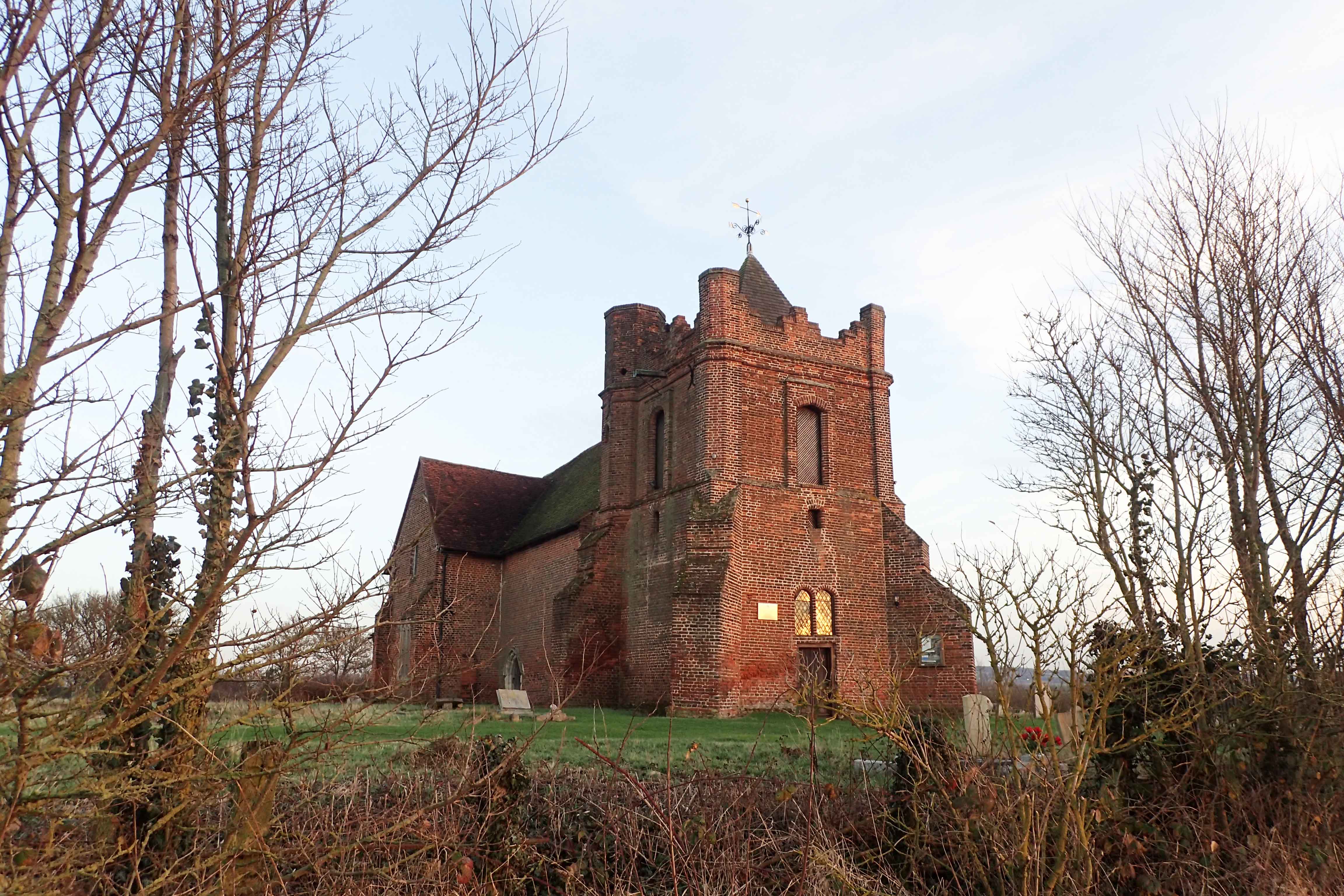
The redundant red brick Anglican Church of All Saints at East Horndon glows red in the light of the setting sun. Now victim to new roads, bypasses, shrinking rural population and now serving an economically depressed area, it sees few visitors. The Grade II* 15th century church is now in the care of the Churches Conservation Trust. Its two storey transepts are possibly unique. British Listed Buildings notes that “this remarkable church has had a chequered history of decay, theft and vandalism”
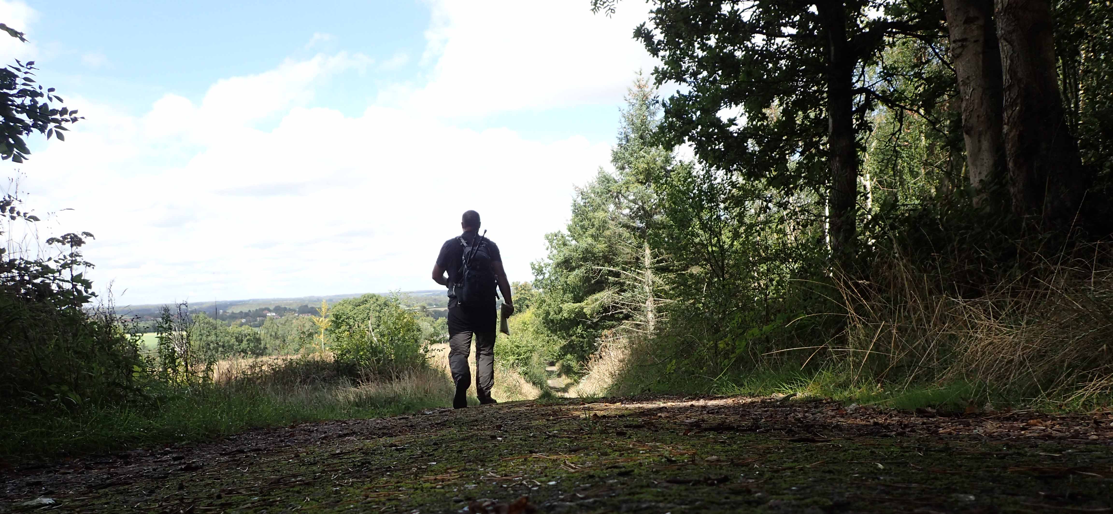
I slightly regretted leaving completion of this walk until so late in the year. The many fields crossed became shorn of crops, ploughed and bare. As rains set in still later, trail runners became caked in mud. There was still a beauty to the countryside but it came less easy to the eye. I found myself pausing more frequently at churches, a curfew tower and other interesting buildings just to sate my need for variety. Perhaps I should have loitered more in some of the lovely forests crossed, but once walking, I often tend to be ‘head down and go’.
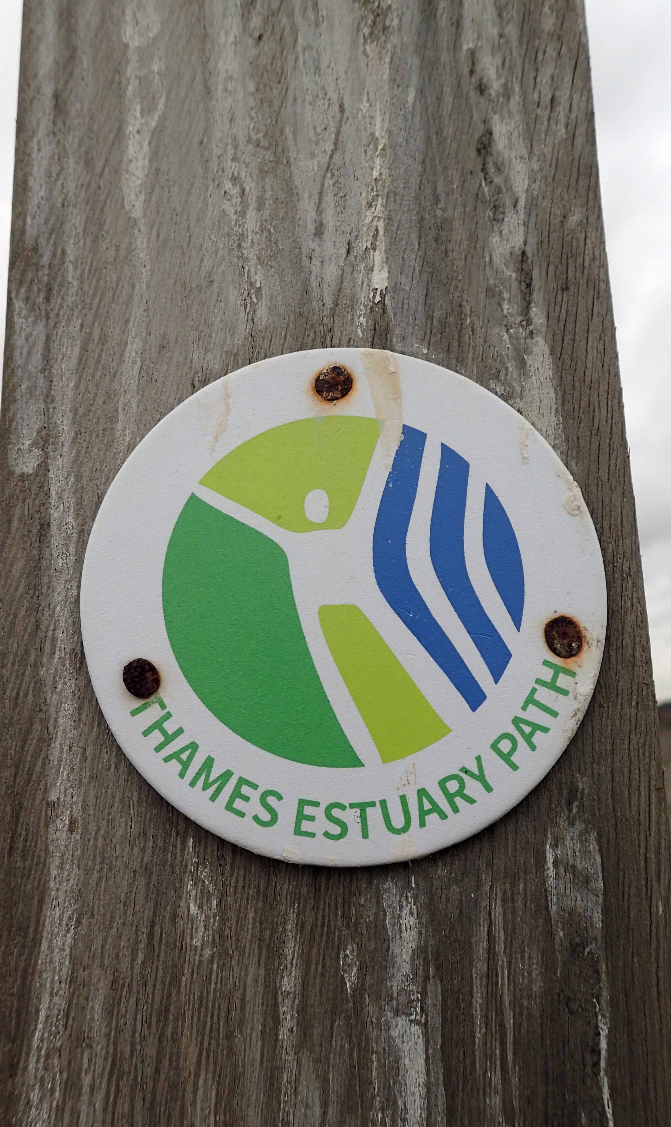
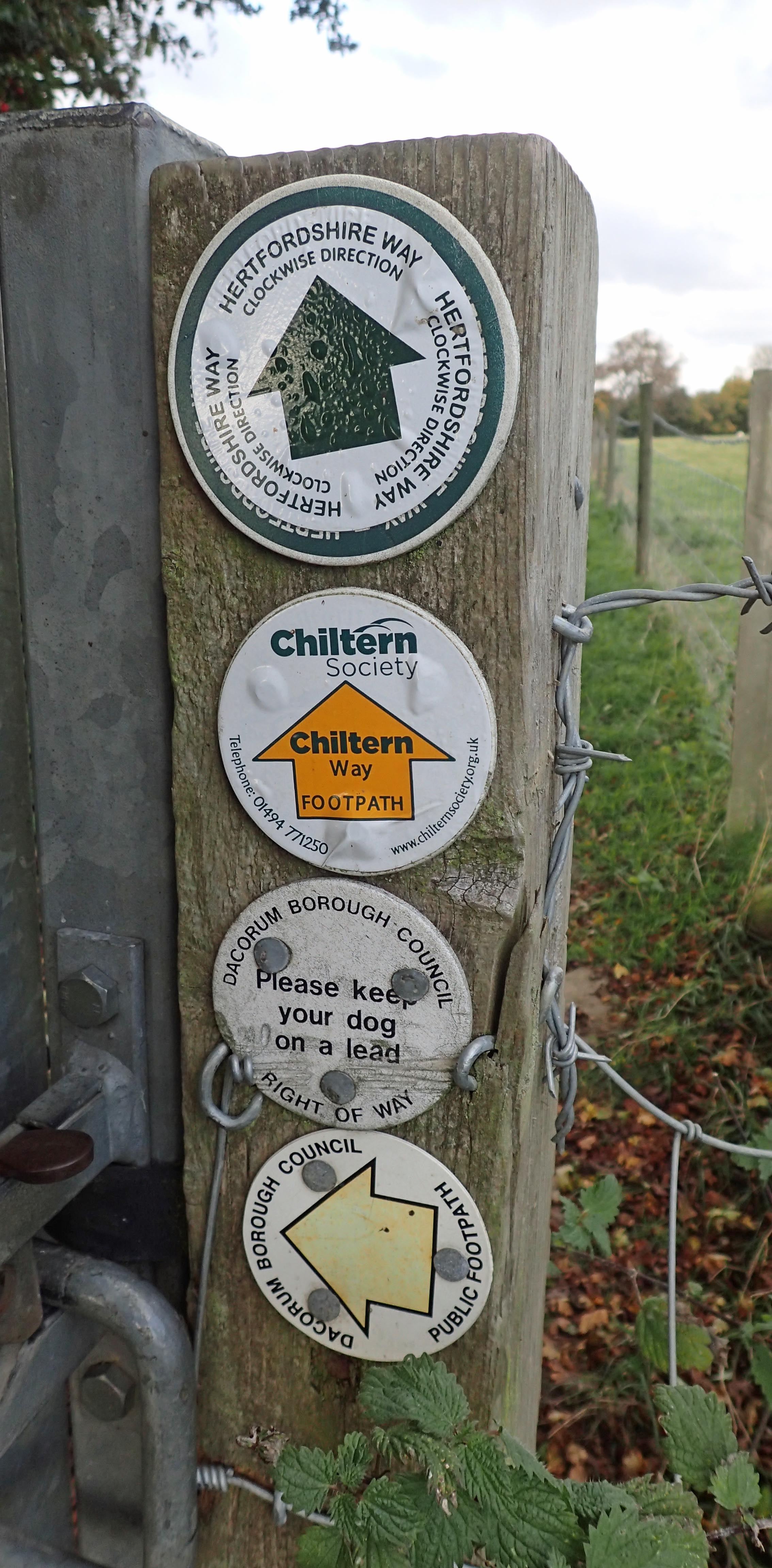 As with the first half of the walk, south of the River Thames, I frequently found myself joining, if only for just a few miles, designated and named trails. For most of the time though, the Countryway was following ancient Rights of Way. It was very noticeable how different land owners regarded such rights. Some paths were overgrown and unloved at best, blocked and impeded at worst. Yet within just half a mile, signage was clear, stiles were repaired, drivers of tractors gave a wave. Probably the worst treatment was on the Essex flatlands where it was very obvious that the round footpath discs had been crudely levered off from where they had been set, and put up where the landowner preferred people to walk.
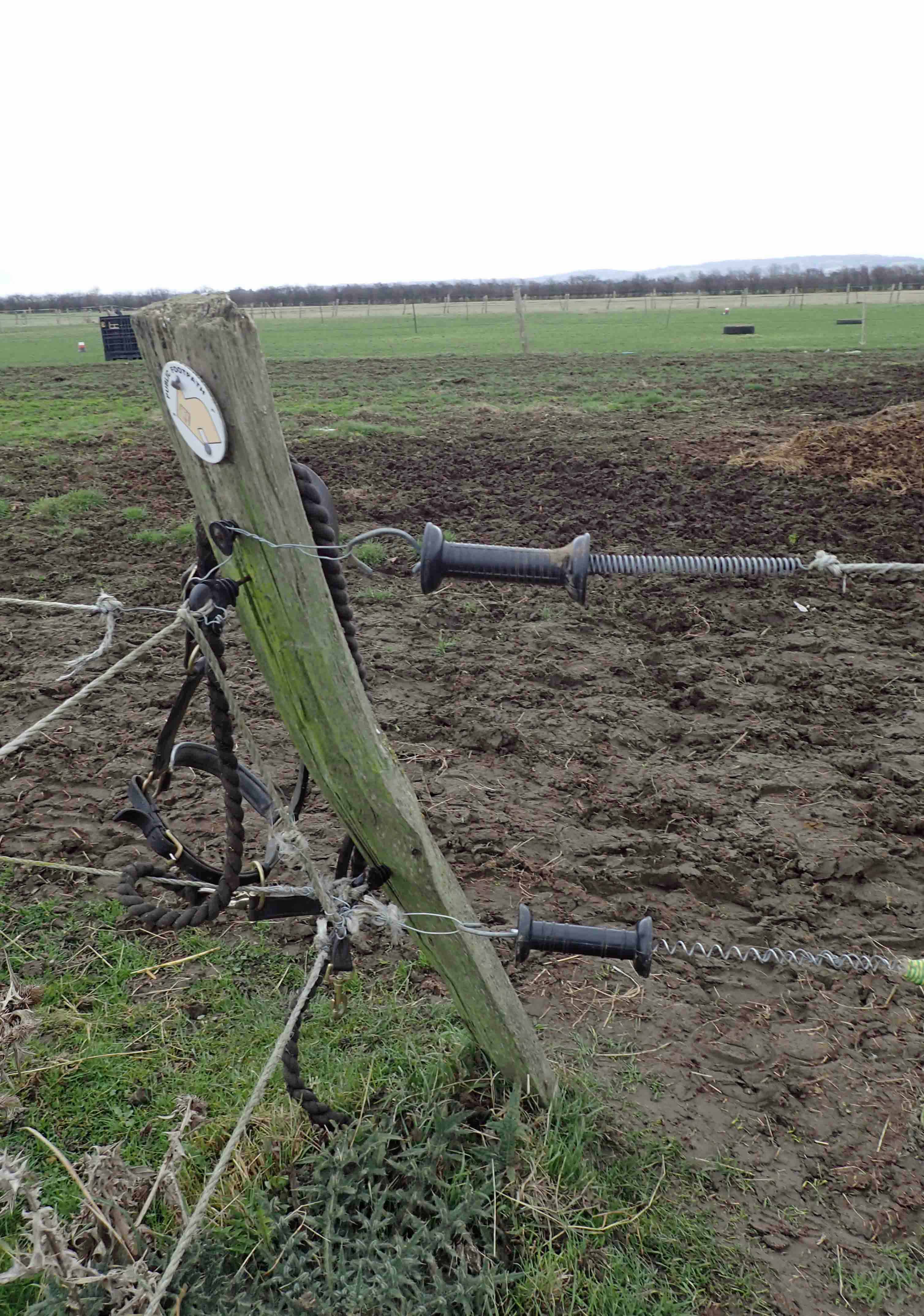
Many scrappy horse paddocks in Essex were crossed on the London Countryway, however here, unlike on other parts of the trail, many land owners have scant regard for the needs of walkers. Signage was moved or even removed and countless electric fences erected with no easy way of crossing or circumventing them. On many an occasion I was forced to throw a pack and poles across and crawl in the mud below a wire. On this occasion I was able to squeeze between the strands.
The changing colours of the leaves on the trees and their eventual fall and coating of the ground in the shoulder season is always a joy. 2016 was frequently unseasonably warm and despite the leaves having fallen, temperatures were frequently warm enough for shirtsleeves. However I relished the occasional rain, hail and cold weather when it infrequently manifested itself. Leaves covering paths on forest trails occasionally made the going confusing. Another unforeseen disadvantage of my direction of passage at this time of year was the low winter sun being frequently in my eyes. This actually became wearisome at times though it is difficult to complain because it might just as easily have been constantly obscured with rain clouds disgorging themselves upon me.
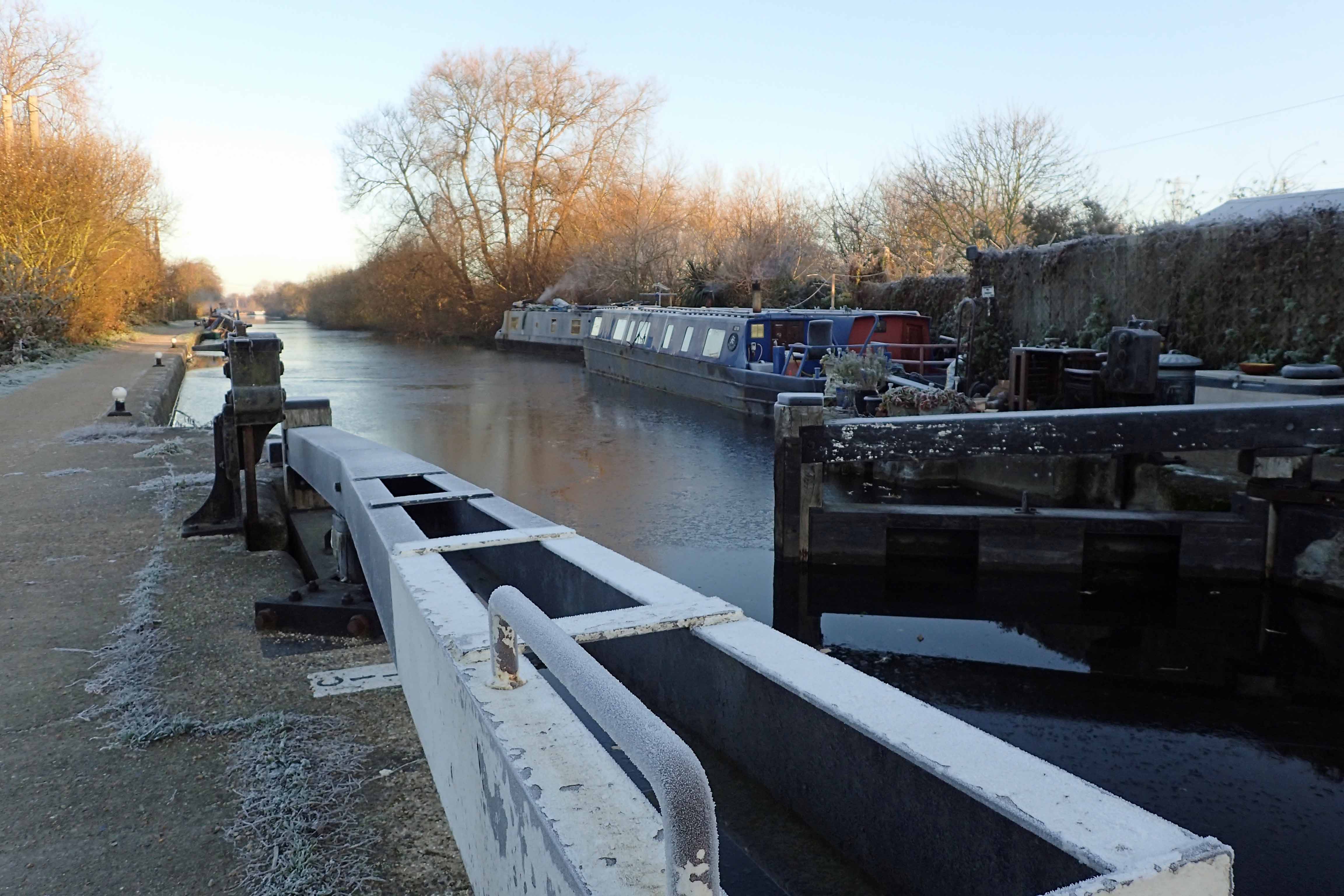
An infrequent cold day. A frozen Lea Navigation
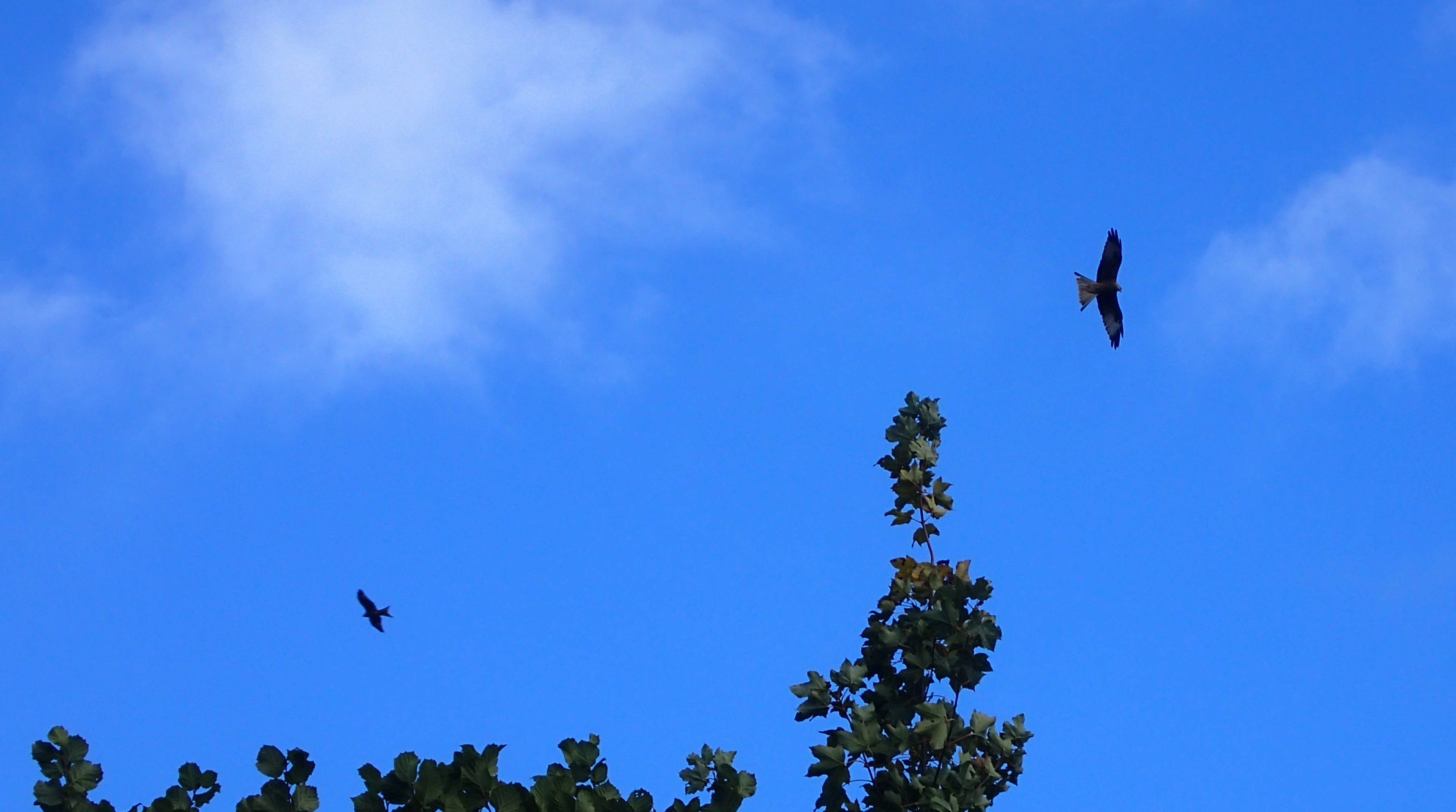
The distinctive Red Kite (Milvus milvus) wheeled in the air above my head on many days, especially through the Chilterns
Another victim of the year drawing on was my reducing frequency of encounters with fauna and flora. Other than road kill on the few sections of roadwalking, it was the vivid splashes of pink and orange Spindle in the hedgerows and berry laden shrubs attracting down the winter thrushes, Redwing and Fieldfare, moving in from Scandinavia, that were most noticeable.
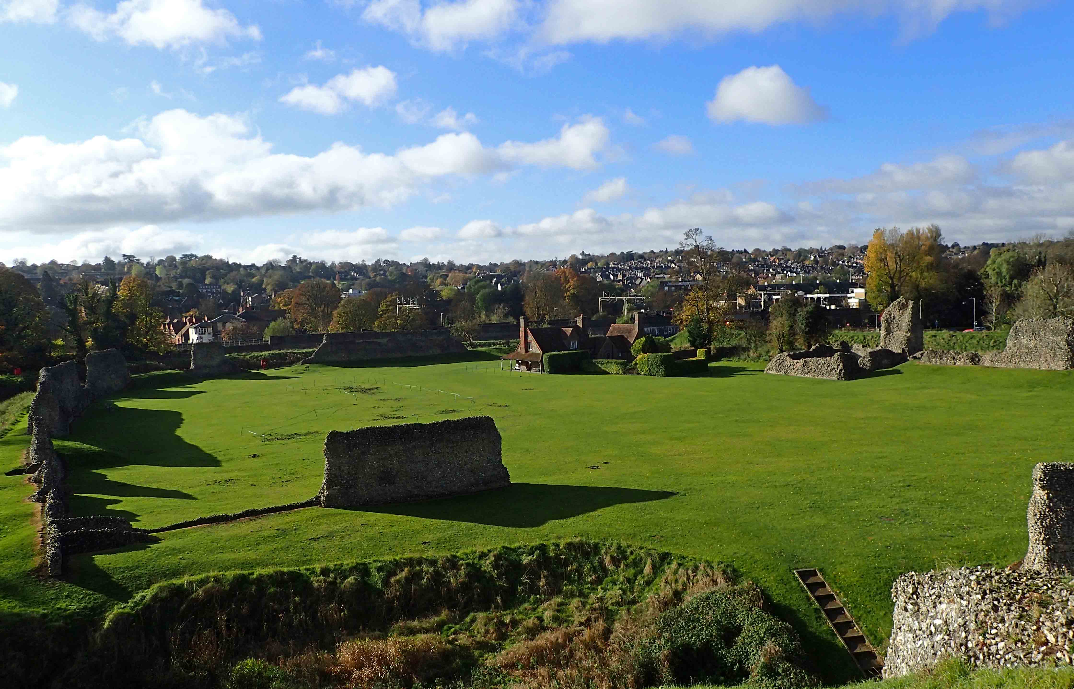
I spent an hour exploring the walls and banks of the Norman Motte and Bailey ‘Berkhamsted Castle’ , adjacent to the railway station, prior to beginning one of my days on the London Countryway
Just occasionally I would come to a site of note and would divert slightly to explore, or spend a little more time. I even found a few minutes to indulge in the odd sketch at one or two rest stops. It is important to take time out on occasion otherwise just what is the point of following any trail. Though I must confess that when I took time to wander round the Mausoleum built by Sir Francis Dashwood, founder of the infamous Hell Fire Club, I declined joining the hoards of punters being coerced into forking out what I thought an extortionate amount to briefly pop into the over-hyped Hellfire Caves.
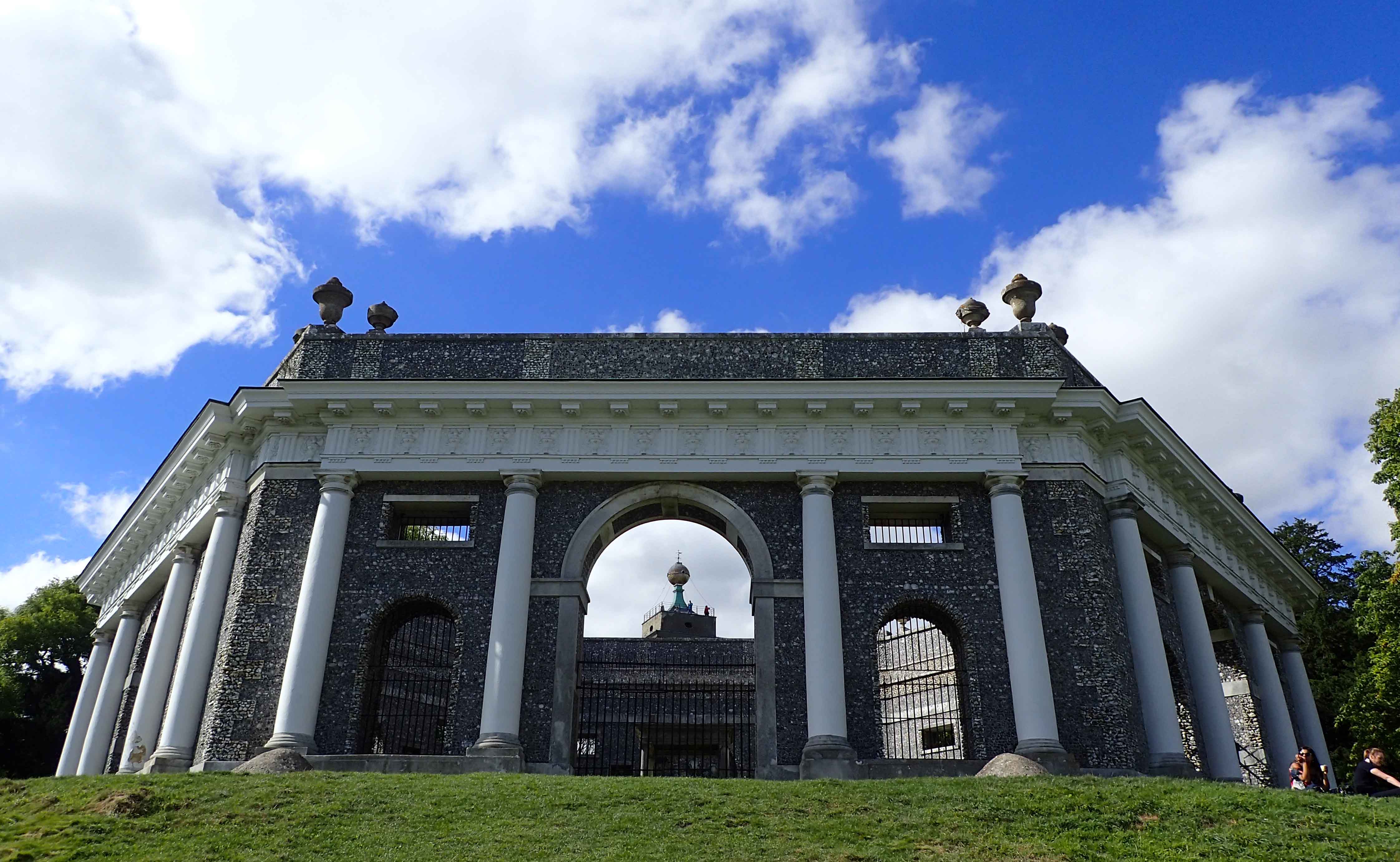
The large unroofed Dashwood mausoleum is visible from miles away. The hexagonal Grade I structure, formed by a series of linked triumphal arches, houses the memorials of Sir Francis Dashwood, Lord le Despencer, 2nd Bart. (1708-81) his family and friends. The rebuilt Church of St Lawrence, seen beyond, has a large gilded ball, fitted up inside for his drinking parties, on top of the tower.
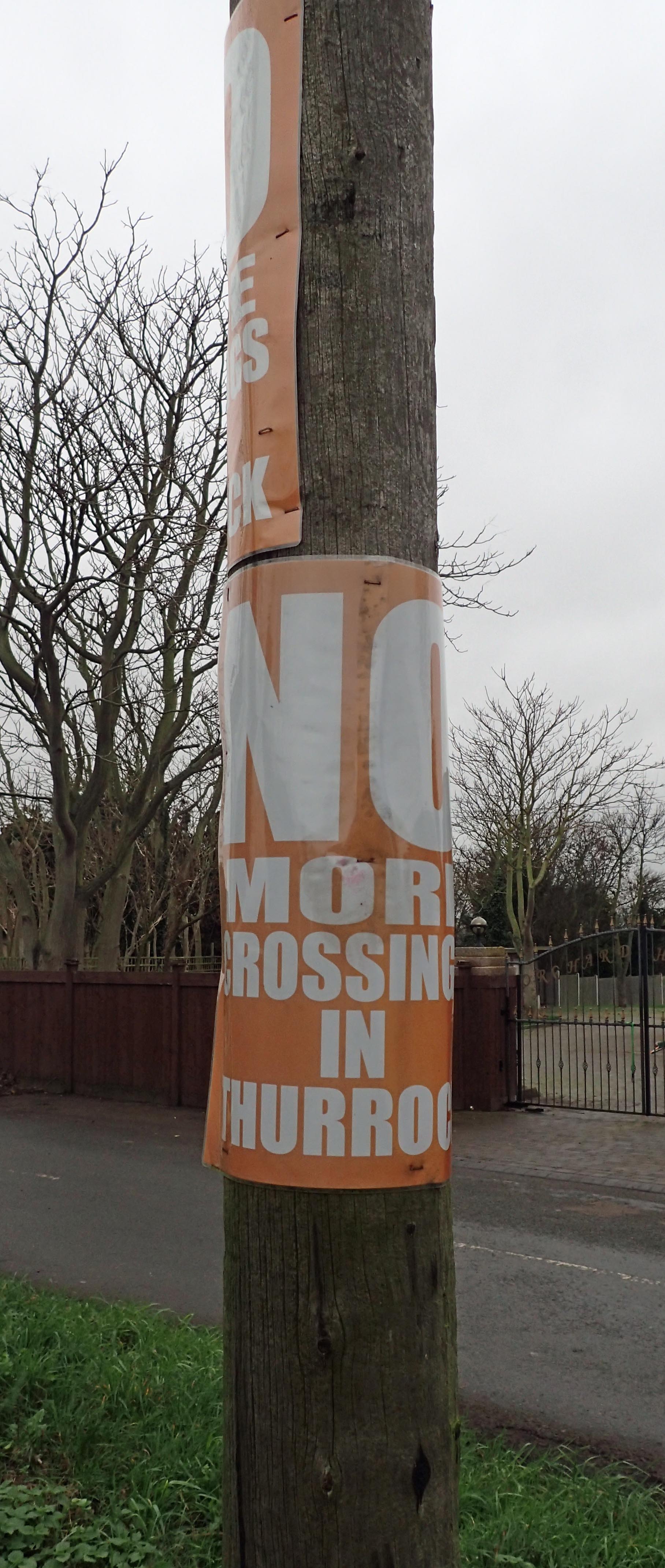
Local protests
As I moved round my meandering semi-circle above London, the affluence of the countryside dissipated. Incidences of fly-tipping were encountered more frequently, yapping dogs appeared from below gates with no attention from homeowners, there were signs everywhere of industry and work having disappeared. Sadly, moving into parts of Essex that probably see few visitors, I began to see parts of the country that had been largely abandoned by officialdom, to its detriment. I looked for signs of recovery but could find few. Many locals were protesting against the most recent of indignities, a proposal to run another crossing of the Thames through their back-garden.
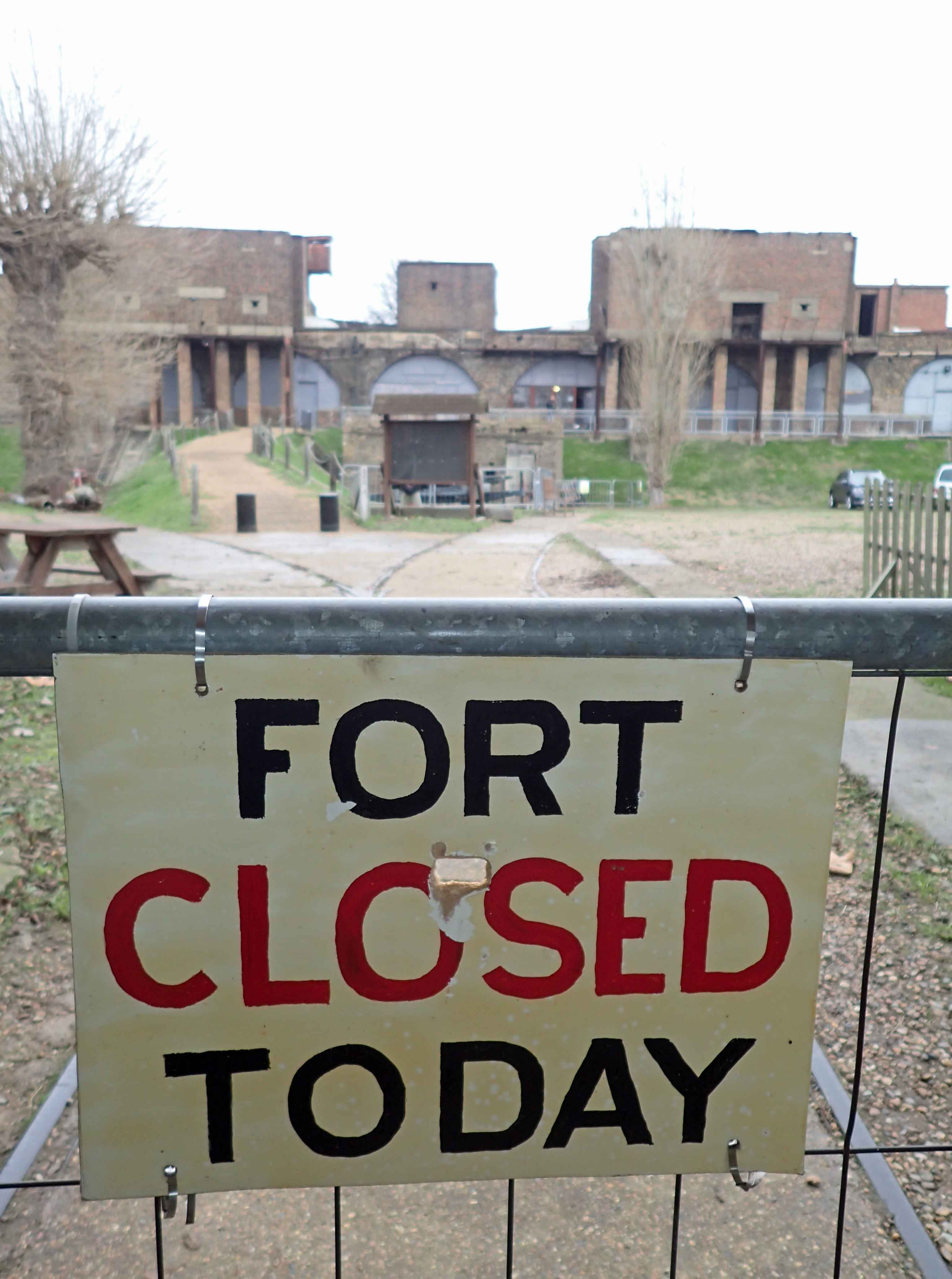
Every so often my timing was out. The day I arrived at Coalhouse Fort on the banks of the Thames, I was greeted thus…
Living as I do on the North Kent Marshes, I do find beauty in the wide open spaces, scarred by industry. It was a similar landscape that I walked into on the Essex marshes. Prior to then, there was also much of interest. The Lea Valley was an example of how a previously depressed area could be turned around. But the important Thames side forts had few visitors, the site of the docking of Empire Windrush was largely ignored beyond a belated small plaque at Thurrock and there was little celebration of Elizabeth I’s speech before the Spanish Armada, other than one of the strangest pieces of graffiti I have come across- on the seawall below the closed Tilbury Power Station.
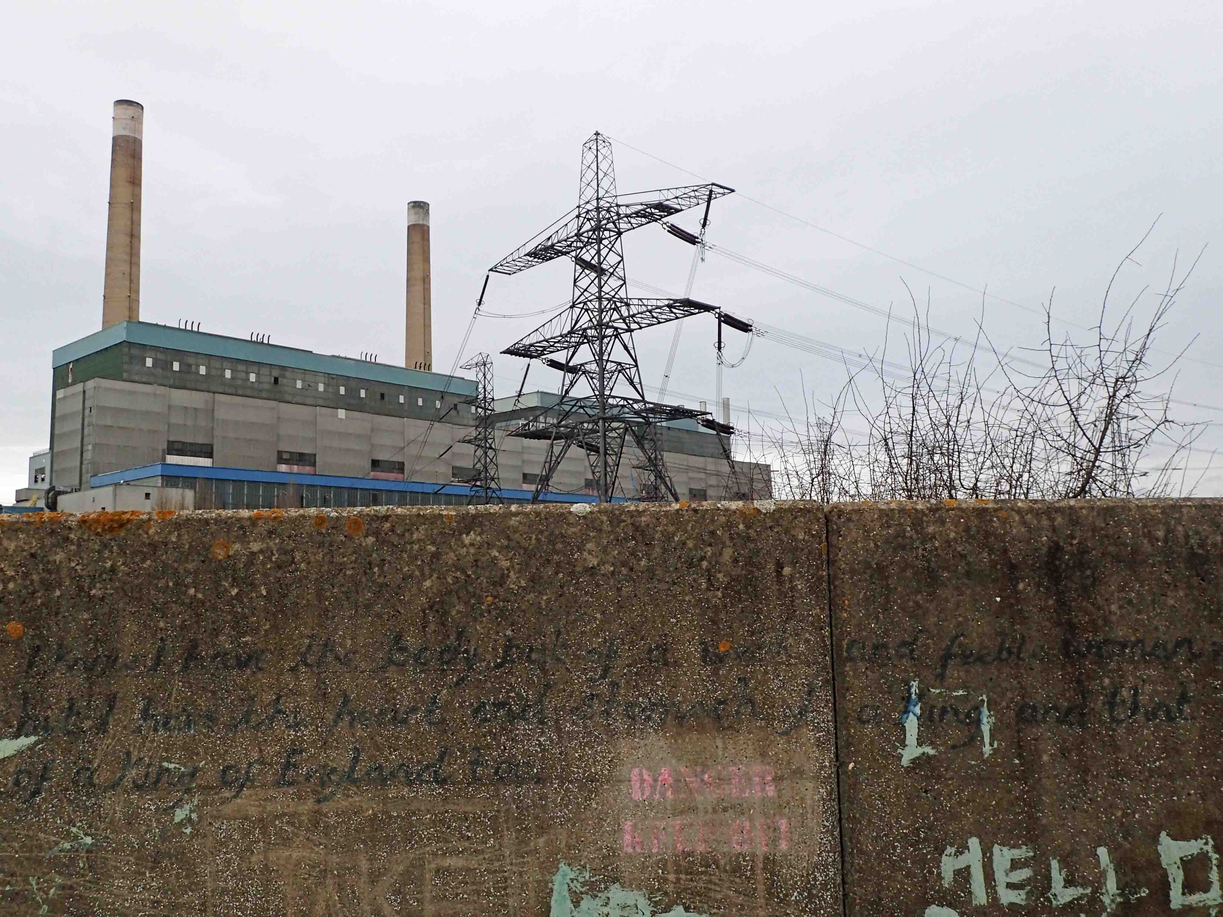
“I know I have the body of a weak, feeble woman; but I have the heart and stomach of a king, and of a king of England too”- Graffiti on the seawall at Tilbury, Essex
The London Countryway was far more than a walk of two halves, it was a walk of many parts. Some days were very short. When Mr and Mrs Three Points of the Compass were walking to the station from Broxbourne at the end of our brief jaunt, we decided to walk an extra four miles to the next station down the line, that was the total mileage for that day. Regardless of daily mileage, I took twenty-two days to complete the London Countyway. I could have quite easily completed it in quite a few days less. I wandered off to view churches and towers, I got lost in Epping Forest until I simply took a bearing and strode through the thickets. Quite a few miles were added on by station links. I had thought that the trail would total around 215 miles, by the end, I had covered 251 miles.
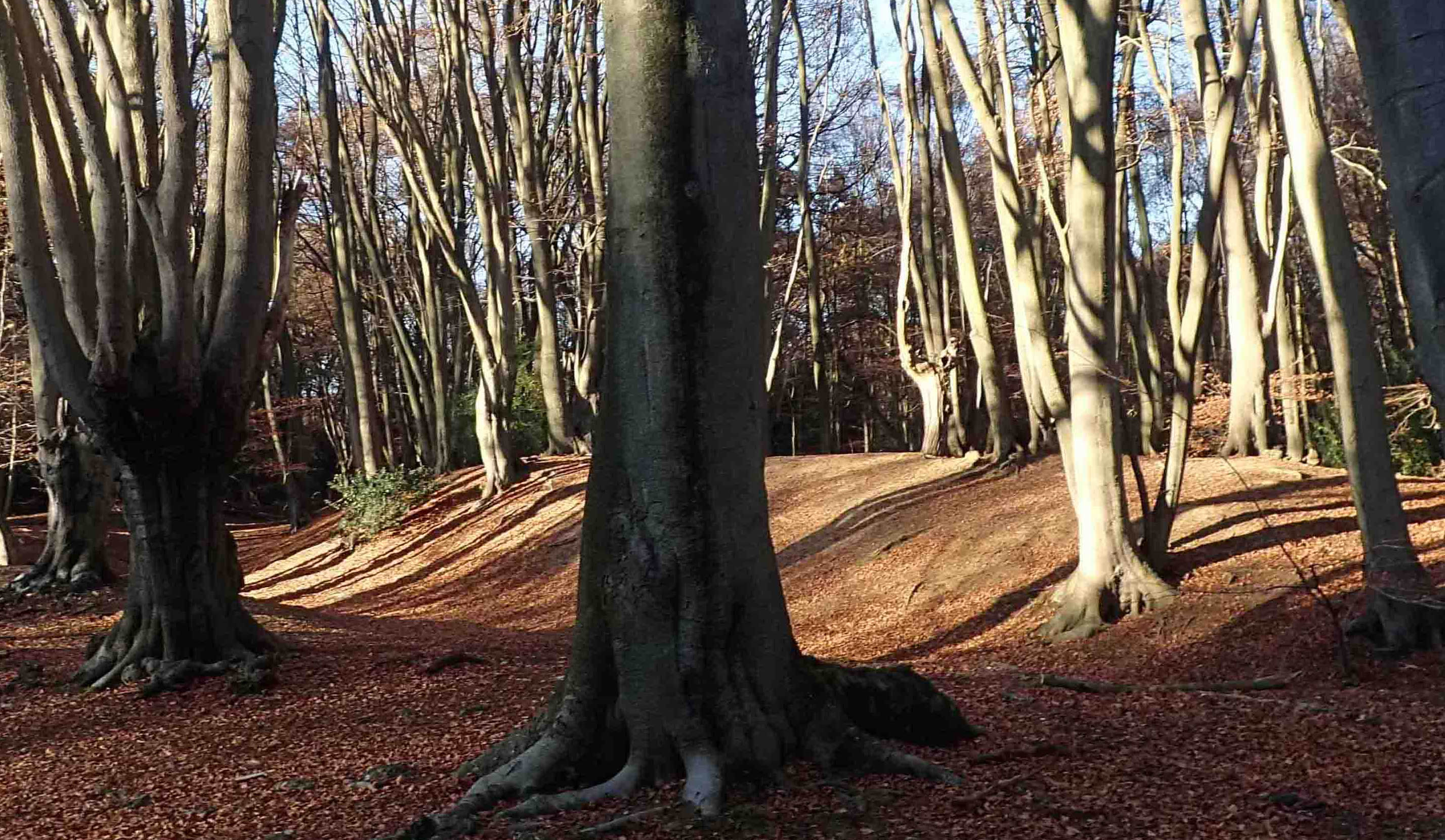
Ambresbury Banks are the remains of an Iron Age hill fort in the lovely Epping Forest, Essex
I mentioned before that I undertook this walk as a charitable exercise, raising a few quid toward those youngsters who undertake the Duke of Edinburgh Award Scheme. I was pleased to beat my modest target. While I doubt I will repeat completing a walk for charity again, it is not really within my comfort zone asking for money, I am looking forward to 2017 when I will, at last, complete my last few miles on the North Downs Way and begin one of the other longer paths in the South East of England. As to further afield, we shall have to see.
The end of the London Countryway. Three Points of the Compass crossing the River Thames from Tilbury in Essex back to the start point in Gravesend, Kent
To finish off this blog post, would I recommend the London Countryway? Absolutely. There are far better trails elsewhere in the UK and further afield. But as a long distance walk in the South East of England, it is an excellent choice. It has variety, surprises, good country walking and an acceptable percentage of town and road walking. In my opinion it certainly beats that better known National Trail, the London LOOP hands down. Though I am sure there will be many who would disagree with me. Possibly it was the fact that I met far fewer people on the walk that clinched it for me…
While not ignoring the vision and creativity of the paths originator, Keith Chesterton, the more recent research and ever helpful guidance provided by Des de Moor is terrific. As usual though, I found myself transferring directions to an O.S. map in advance, then reading both written directions and his commentary on the way home from each section, preferring to discover things for myself on the trail.
Onward, into 2017…
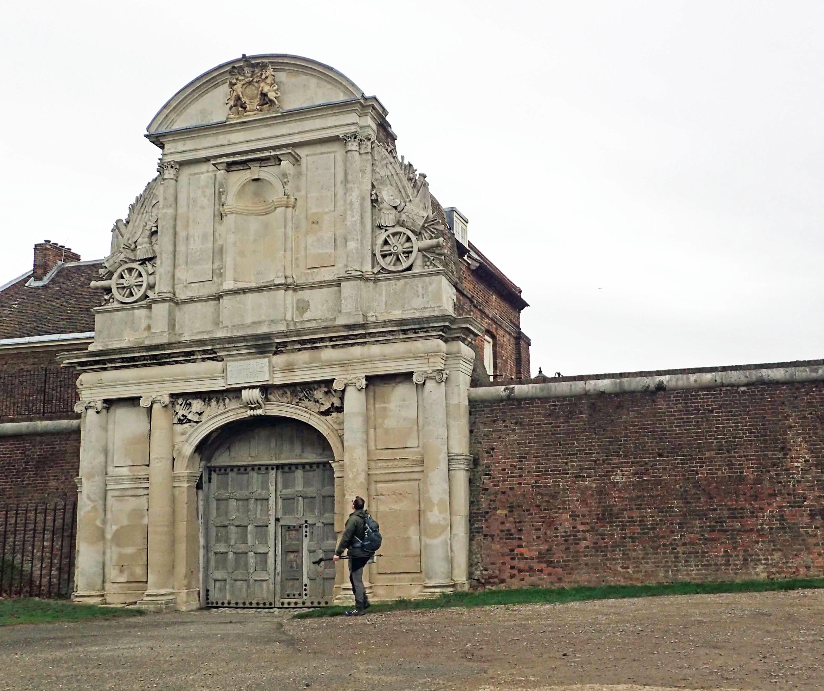
Yet another unexpected delight. A brief halt at the Water Gate, entrance to Tilbury Fort
Three Points of the Compass does not always blog on the trails walked. Links to those that have been covered can be found here.
