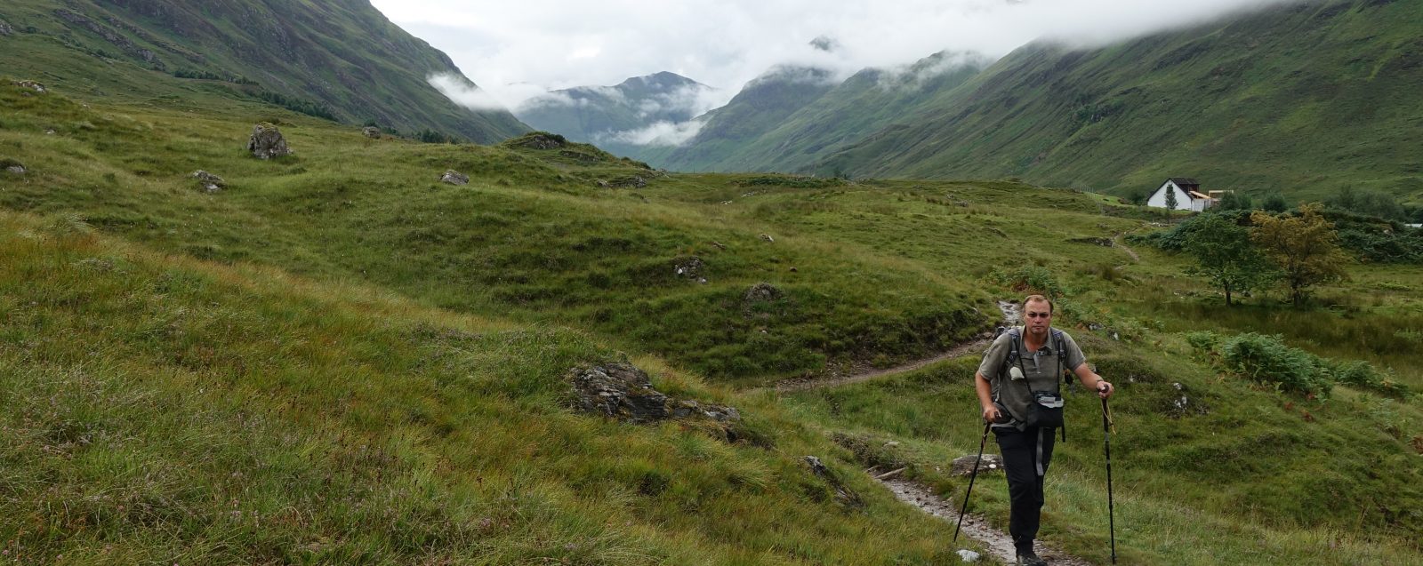
The East Highland Way stretches 82 miles across Scotland, from Fort William to Aviemore. It’s gentle profile and varied terrain makes for an almost perfect May leg-stretch adventure.
I try and fit in a May visit to Scotland each year. The weather is usually kind, midges are only just beginning to appear, trails are often quieter, and a week or so walking here springboards me in to whatever other plans I have for later in the year. Often also providing the perfect opportunity to test out any new additions to my gear. On this trail, I was taking a new tent. Well, it was new to me…
The East Highland Way is a relatively new trail. Devised by Kevin Langan in 2007, it can be walked in either direction, but I found south to north made for an evolving experience, with each day building and improving on the day before. The 82 mile/132km route makes good use of existing paths, forestry tracks, loch side tracks, plus a bit of road walking and a few miles of fantastic heather moorland through Glen Banchor. It passes close to a handful of towns, also visiting a couple of them, but lends itself perfectly to wildcamping as that more easily enables the trail to be broken up into however many days you want to take. Some might dash it off in four days, but as usual I took my time. I allowed seven days and just about completed it in six. I chose to camp a handful of miles outside Aviemore on my sixth day, thereby saving myself the cost of a night’s accommodation at trails end.
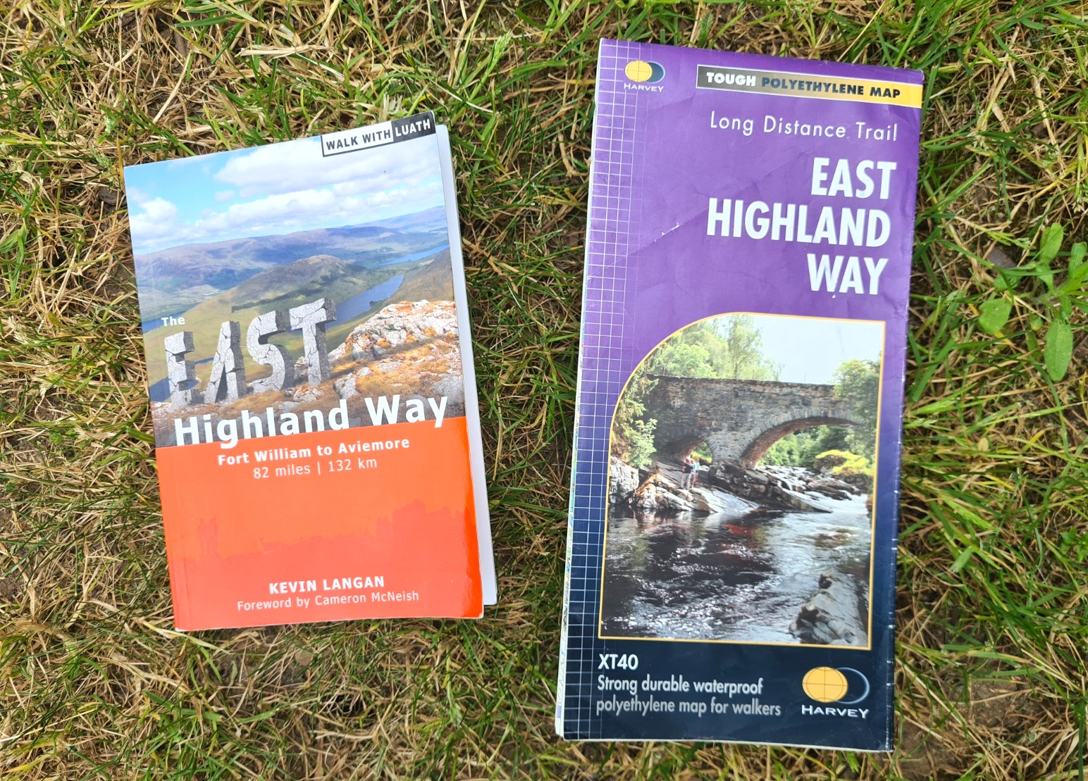
Other than my new Durston X-Dome 1+ tent, I carried my normal lightweight three-season backpacking gear. Some people hiking the East Highland Way rely on digital maps via AllTrails or Hiiker. Both have mistakes on them but the (few) people I met relying on one or the other seemed to be managing OK. While I had the latter downloaded on my phone, I seldom looked at it, preferring to carry the excellent 27g 1:40 000 map from Harvey, and a 236g hard-copy guidebook written by the trail’s creator. In truth, I found much of the actual guide element of the book wanting, but the additional information on points of interest, history etc. make the trail a much more enjoyable experience.
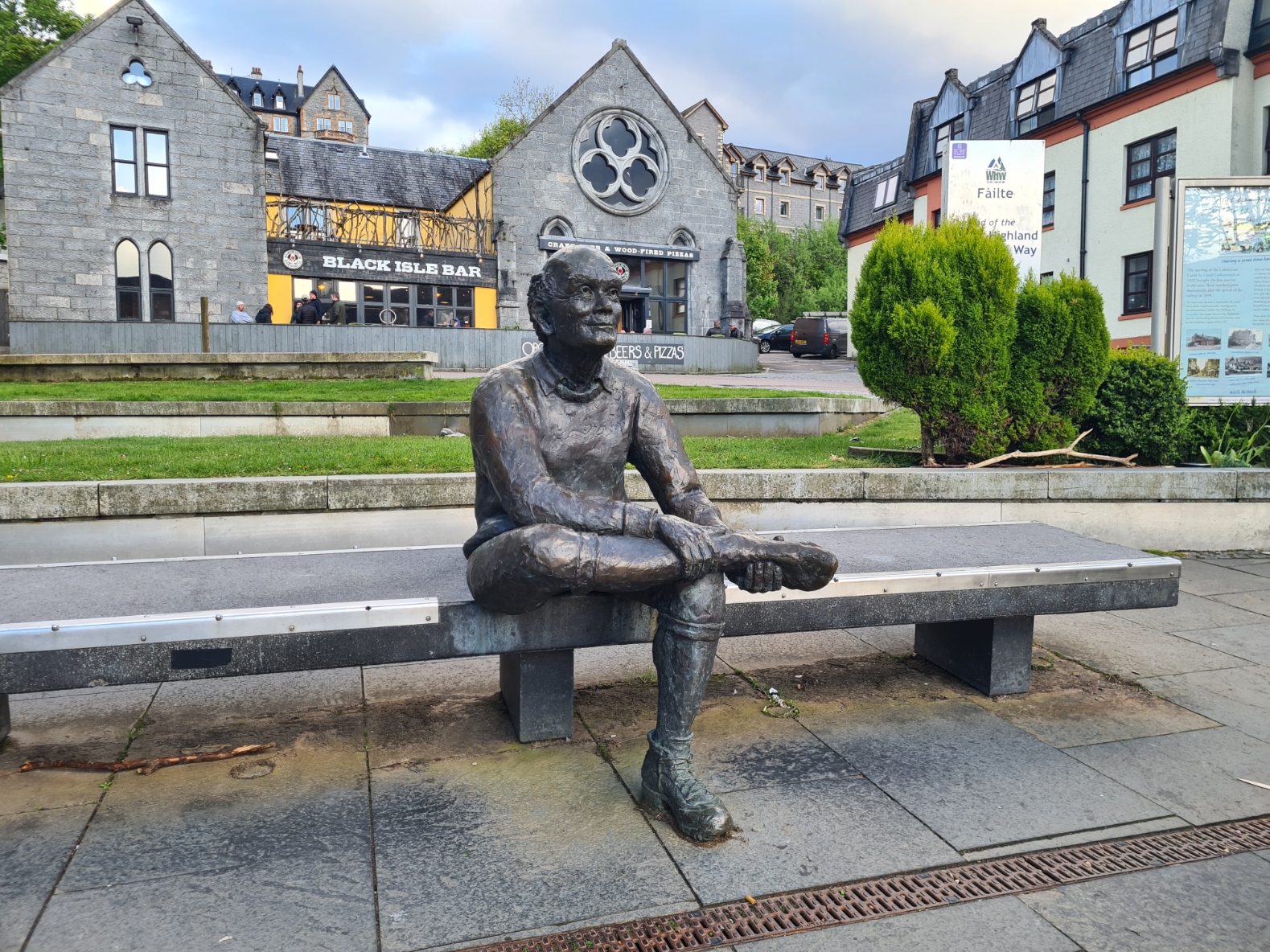
I travelled up by train from South-East England on one long day, arriving into Fort William weary and in need of a pint. But before that I checked into my ridiculously expensive guest house, having failed to secure a bed in any of the more budget conscious offerings and not wanting to walk out of town to the decent campsite on its fringes. Pack checked for the morrow, showered and feeling a good deal fresher, I walked the length of the High Street to Gordon Square where the seated statue of a walker nurses his sore foot. This marks the end of the well-known and popular West Highland Way, a trail I have walked twice. It also marks the start point of the East Highland Way. Immediately alongside the statue, hosting a succession of weary but contented looking WHW completers, is The Great Glen ‘Spoons pub, where I happily nursed a couple of pints before crossing the street to Spice Tandoori.
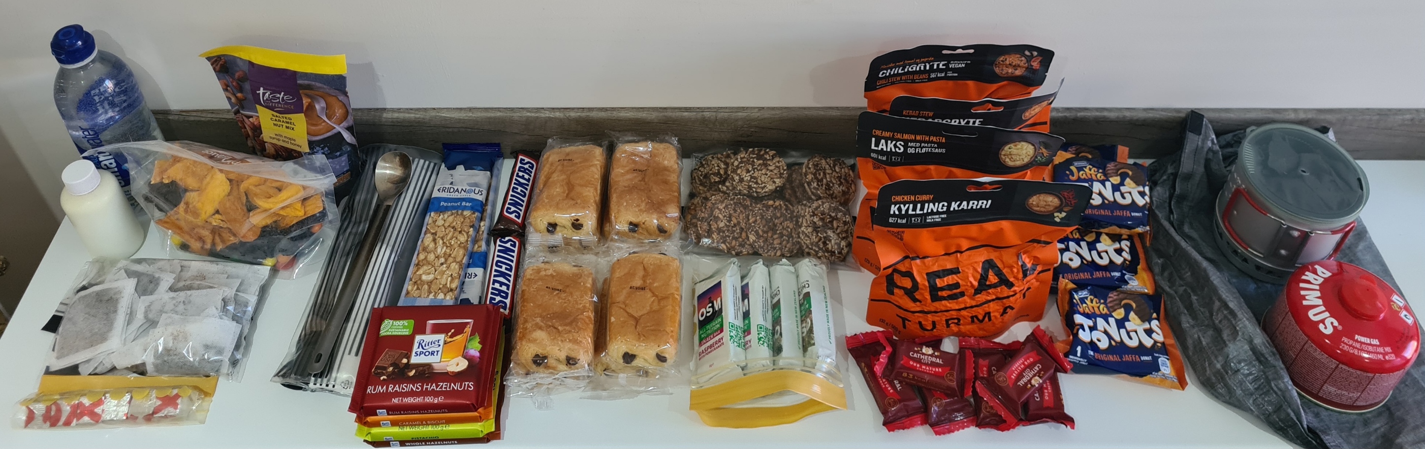
This Indian had become a bit of a favourite over the years and I have enjoyed decent meals here on completing the West Highland Way, and before commencing both the Cape Wrath Trail and Great Glen Way. I was dismayed to find that it has really gone downhill. Why, I don’t know, but suffice to say the majority of my meal went uneaten and it was an unhappy soul that walked back to his accommodation. I had originally planned on a ‘doggie bag’ from here to provide tomorrow’s first lunch stop on trail, it wasn’t to be. This didn’t concern me as I had packed my food bag with enough to easily last me four days or more, making me less reliant on going off-trail to nearby towns. As it turned out, with a couple of café and pub halts along the way, I carried more than enough for the whole trail.
Day One: Fort William to forest above Spean Bridge. 12 miles
Despite what I think was a ridiculously high cost for an overnight bed, there was no breakfast provided, so once packed and away, it was back to the railway station for the café where the efficient and friendly staff promptly provided two good bacon rolls, accompanied by that rarest of beasts, a decent pot of loose leaf tea. This was a leisurely start to my day as I had no great distance to cover and had earlier attempted to sleep late. When I had checked in last night I had read the info folder in my room, and it was only then that I found there were scheduled roadworks outside my window between 19.00 and 06.00. Great!
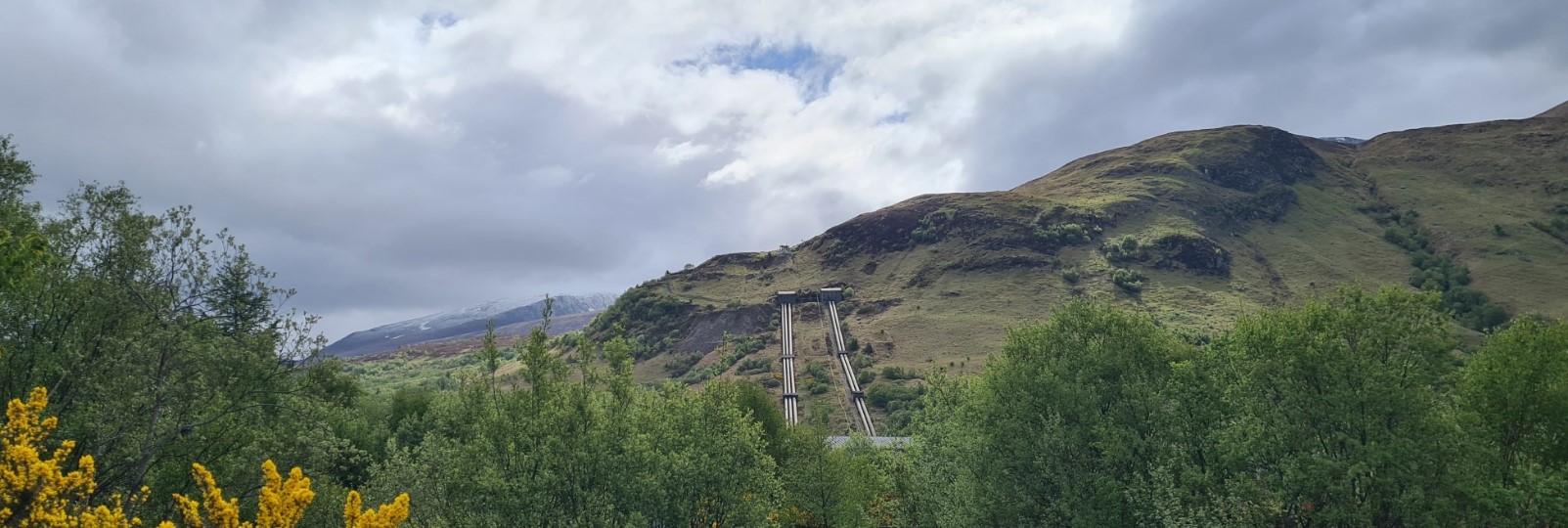
Eventually away, I followed the busy noisy A82 out of town, until at last leaving it behind when I turned off to walk up toward the impressive Aluminium Works on my right, the long sweep of hydro pipes descending toward it from Creag A Chail beyond. I turned left off onto a forestry track before reaching the Alcan smelter, now following an easy track through the Leanachan plantation. The Nevis range was off to my right, but the peak of Ben Nevis, Britain’s highest mountain (1343m), was hidden in cloud. Lesser peaks had snow on their shoulders, reinforcing the fact that this was a spring walk. I expected most days to be fairly warm, but knew that nights were likely to be cold. That said, it now began to rain. At first there was enough shelter from tree cover to ignore it but as it opened up and the drizzle became a downpour, I donned my FroggToggs jacket and badly scrunched up Tilley hat.
After it’s inauspicious start out of Fort Bill, the trail now began to improve. But there were few others around to enjoy it with me. A couple of runners, a dog walker, two cyclists. Not having seen anyone for an hour, I stepped off track for a pee. Out of nowhere a cyclist passed behind me. Typical! Bird song accompanied me as I continued on my way- Willow Warblers, Chiff Chaffs and Robins mostly. The track became a path, very slowly ascending, before descending to the North Face carpark where I packed my waterproof away. The carpark was rammed with cars and vans, all empty. I presume the occupants were all now hundreds of metres higher than me somewhere off to my right. Off to my left. somewhere, was a railway, hidden from view mostly and beyond that the similarly hidden A82, on which I could occasionally hear traffic, especially the howling motorbikes. The track itself was easy going, occasionally overgrown and it took a little careful navigation with both guidebook and map to ensure I stayed on course and didn’t wander off up the hillside as there is more than one deceptive turning along this stretch.
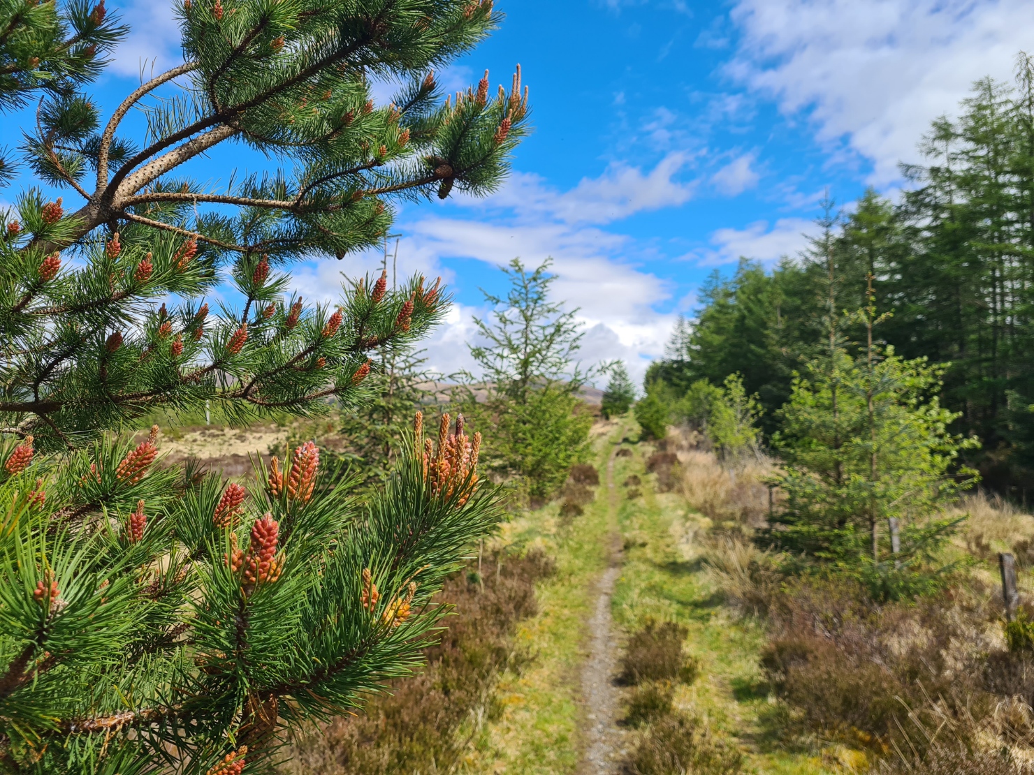
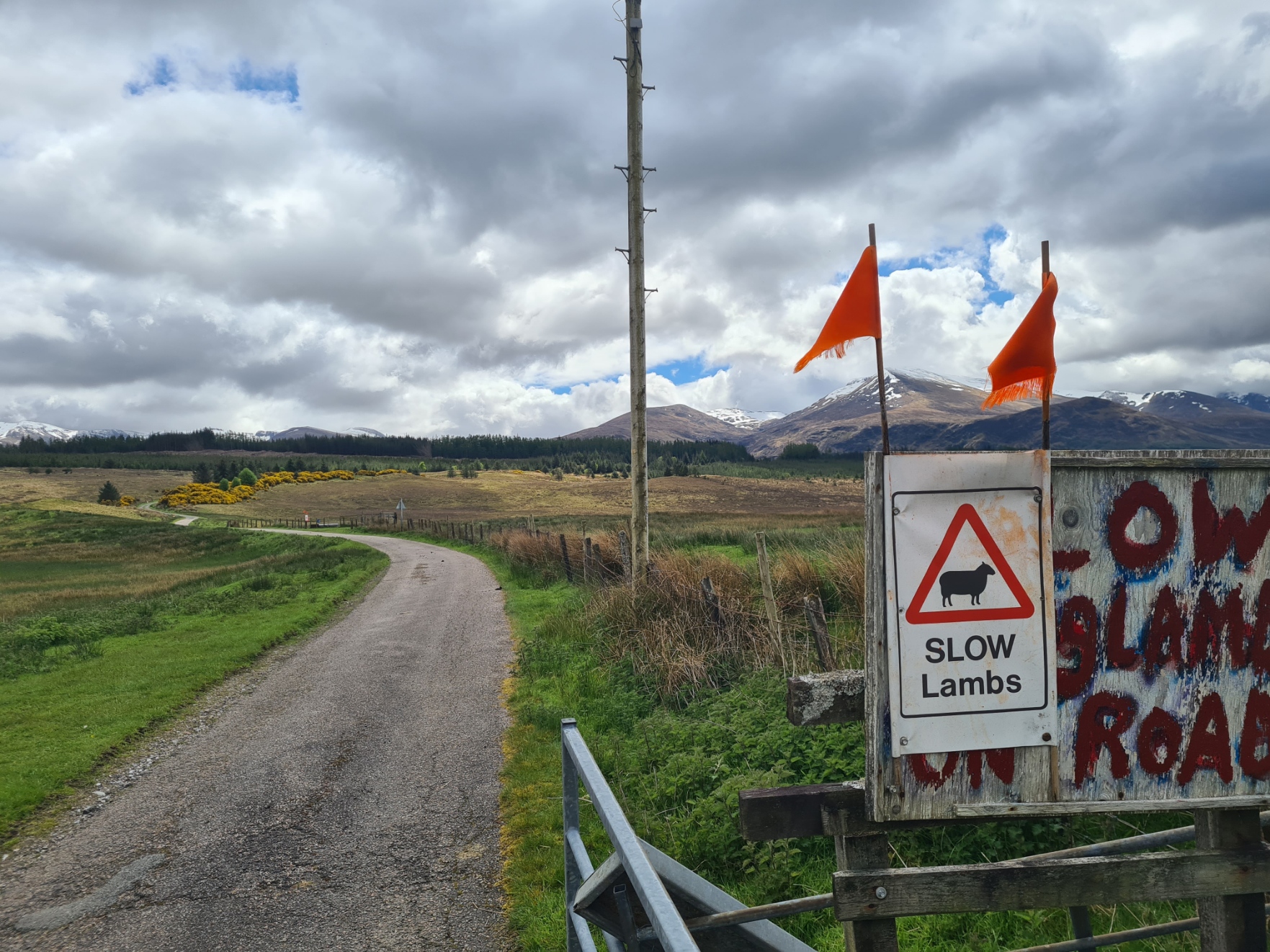
I left the forest and crossed some open farmland. Tighnacoille Farm came and went. The views opened up. I found myself stopping frequently just to look around. It was good to be back in Scotland. It was here that I completely forgot to go off-route to visit the Highbridge Jacobite memorial. The track joined a tarmac farm road that climbed the hillside before the trail again left it to strike off left. All too soon I was entering Killiechonate Woodlands. Victim to recent ‘cultivation’, there was the usual scene of apocalyptic devastation following forestry work, but I was soon past that and into the forest proper.. I swung along until I reached a sign that pointed off down the hill to my left, indicating a route to Spean Bridge. I had made fairly good time, eschewing a halt for lunch, and could easily have continued. But I was determined to ease myself into this walk, taking it easy and decided to now look for tonight’s pitch. Instead of heading on, I turned off to my right, wandering up a side-trail, looking for a flattish clearing in amongst the trees. After half an hour, during which I filtered a couple of litres from a small burn, I found what I was looking for, and in the bright sunlight, dumped my pack and began the slotting together of the exo-skeleton of the tent. This was a novel experience for me as I have been using trekking pole shelters for the past decade. But earlier practice in my living room meant that it wasn’t as unfamiliar a task as it could have been and the Durston X-Dome is a pretty easy and intuitive tent to pitch. Always best to NOT wait until out on trail before playing with a new bit of kit for the first time.
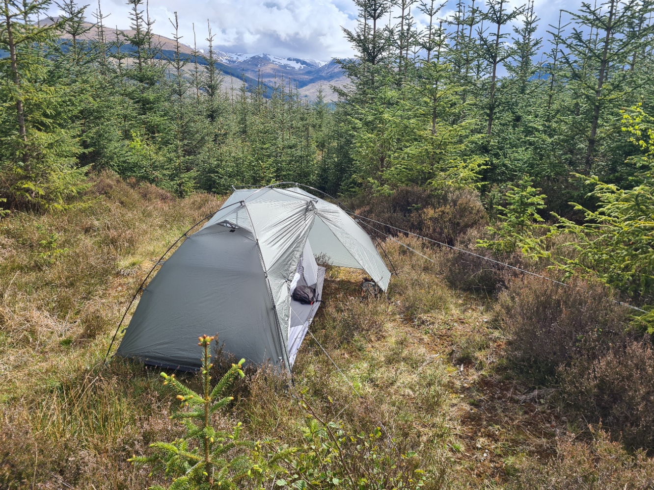
I clambered inside, brushed off my pack and brought that inside too. The little clearing had the look of ticks about it and I was unsurprised when I found a few crawling up the outside of the inner later. I was unconcerned about this as once the inner tent door is zipped up, they weren’t coming in. Stripping off for a ‘tent-wash’ with a damp Swedish Cloth, I had a proper body check for unwanted passengers. It was still only four in the afternoon, so with the sun warming the tent, I had a brief nap, cuckoos calling beyond, before rattling the inner to loosen and remove any ticks prior to unzipping to prep a hot oxo for hydration. This was drunk while writing notes and refreshing myself on tomorrows section. Later, another boil up of some water for a brew and tonight’s meal. This was Real Turmat Salmon Pasta, followed by a Jonut. It had been a good start to the trail. Nothing dramatic, nothing demanding, just a good easing into the miles. After my disturbed slumber last night, an early night beckoned today.
Day Two: above Spean Bridge to An Dubh Lochan. 10.6 miles
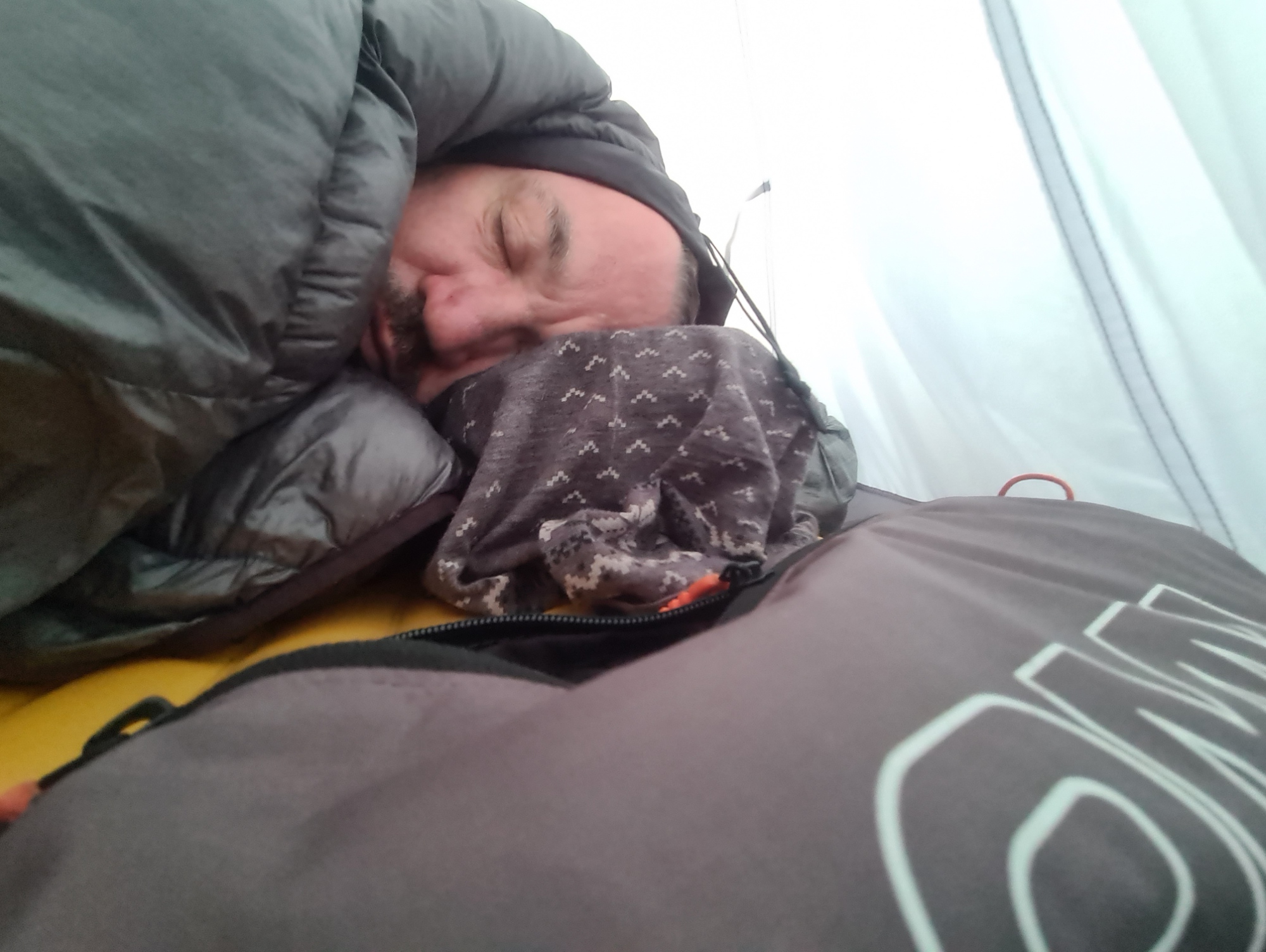
After a warm first day on trail, I had mistakenly neglected to attach the cords around my Thermarest pad, that keep my Katabatic quilt locked down and prevent draughts. This is fine on a warm night but it was around ten at night that I realised the temperature had fallen dramatically. I had to reluctantly rise and dig out the cords and do the job properly. After that I didn’t stir until six-thirty, and even then, with no great miles to cover, I dozed for another hour before eventually rising to make the morning brew.
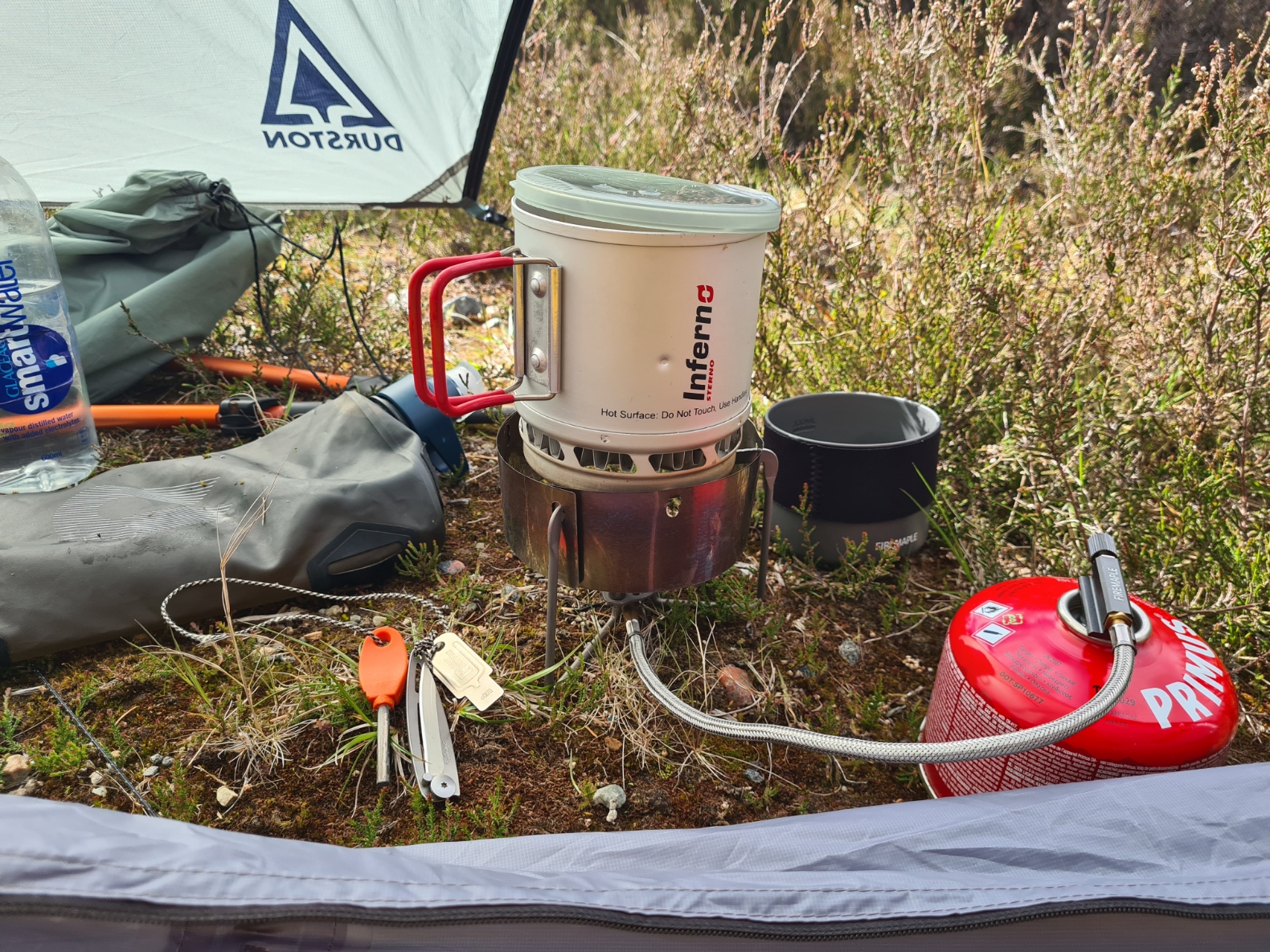
Since consistently relying on porridge oats on a particularly long hike a few years ago and now finding myself unable to stomach them, I have been struggling with breakfast on trail for many years but seem to have found something I can now enjoy. Packing a bunch of ‘long-life’ Pain au Chocolat seems to do the trick. Individually wrapped and weighing 43g each, they squash flat in the foodbag and will never win any culinary award. But they are tasty and packed with calories. I devoured two with my tea, packing at the same time. There was a lot of condensation on the fly, but I packed inner and fly together anyway, as I knew I could very likely dry them off later.
Packed and away, I continued following the forest track to Killiechonate Lodge where I rejoined the trail. It was a beautiful morning and even at this hour I was glad of the shade from the trees as I followed the soft woodland road along to the Insh Scout campsite. I met a man walking his dog and we stopped to chat. He was a ‘new local’, an incomer, having moved here from Derbyshire just a month before. What seemed to have pleased him most, was the large property he had been able to buy with his money. I wondered if he would be just as pleased in the winters they get round here, but remained silent on the subject, as he was absolutely loving his time in his new home. A little further on I passed an American walking in the opposite direction. He was simply out making his own route around Scotland but I was most intrigued by his preference for an old exterior frame pack that I hadn’t seen the like of since I had my own, back in the seventies. We chatted about it for a brief period before I walked on, the lovely glittering River Spean down to my left. I saw Dipper, but was keeping my eyes open for Otter, as they are present in fairly good numbers. No luck sadly.
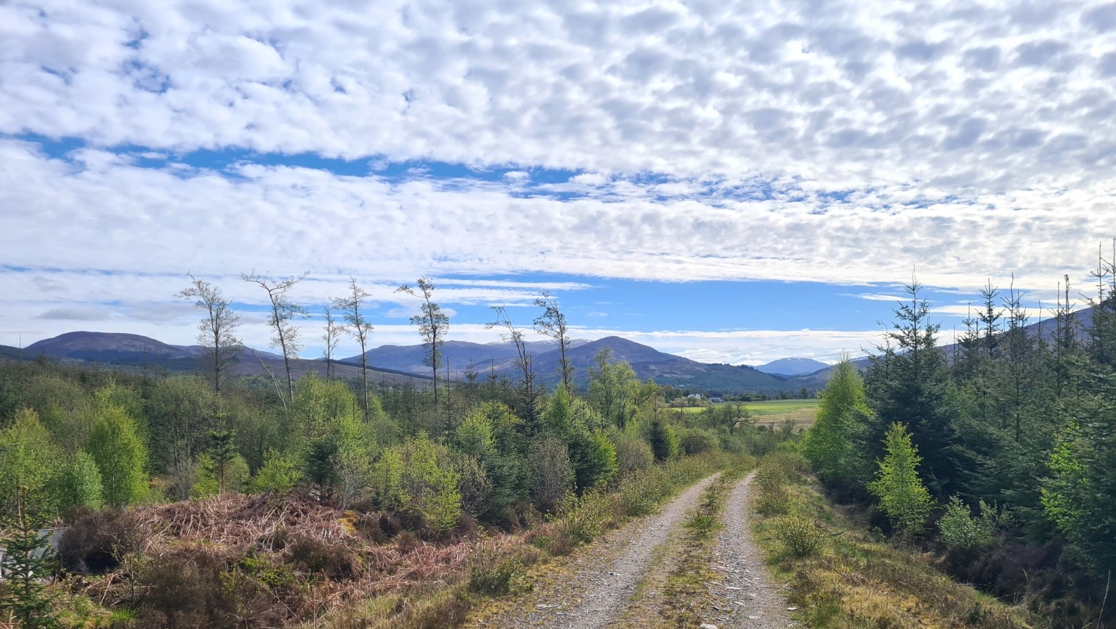
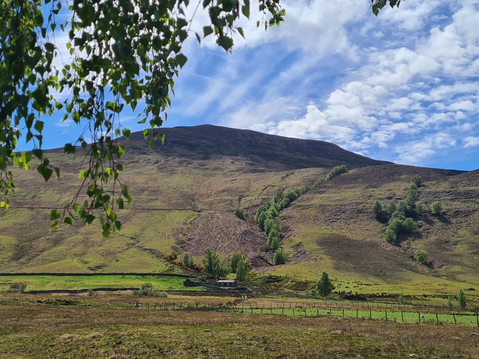
The track left the trees and the view opened up. An old mountain railway could be seen contouring along the slopes of the hills to my right. A hundred metres higher than me, this is the remains of the narrow gauge maintenance railway built for the British Aluminium Company’s Ben Nevis pipeline, that carried water from Loch Laggan to Fort William. It was used to generate electricity for the reduction of aluminium oxide to aluminium metal.
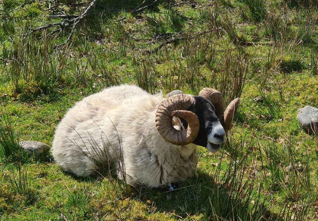
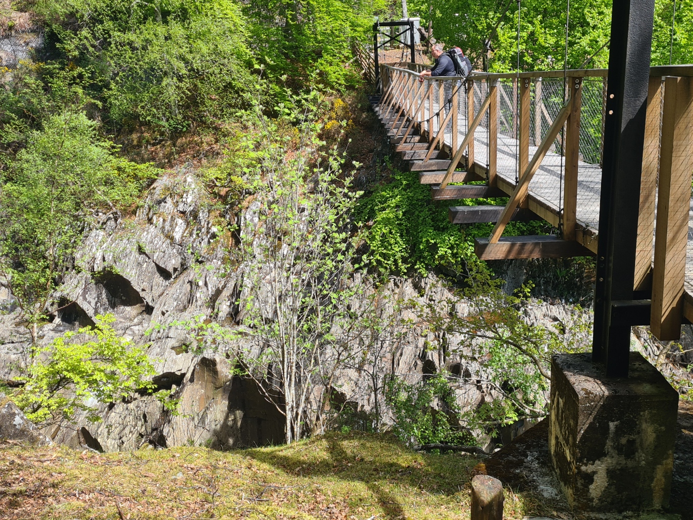
Prior to entering another forest, broadleaf this time, I passed some blackface sheep with magnificent double turned horns. I am sure they could do some damage, but each looked bored and were certainly unconcerned by me. I was diverting at Monessie farm to look for what the guidebook describes as a ‘stunning gorge’. It is a scruffy farm, with the usual farm detritus littered around tumbledown outbuildings, but seemed to be getting a bit of an extension and makeover and builders were hard at work on the main residence. The route finding down to the gorge here is not all that obvious but I found my way down to the suspension bridge over the gorge eventually. The falls were pretty but water level was low and they weren’t at their best. Instead, I followed the gorge further downstream, finding better falls there than the ones below the small bridge that most people would visit. Having explored for a while, I returned to the suspension bridge and walked on, back on trail.
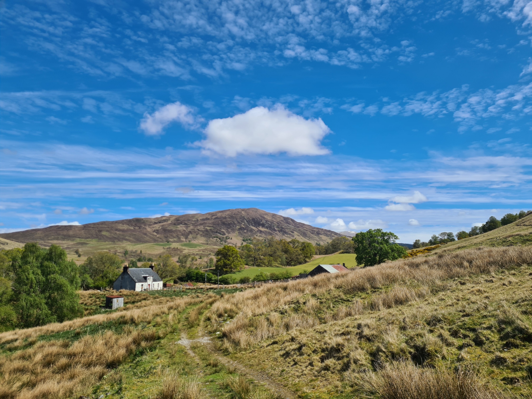
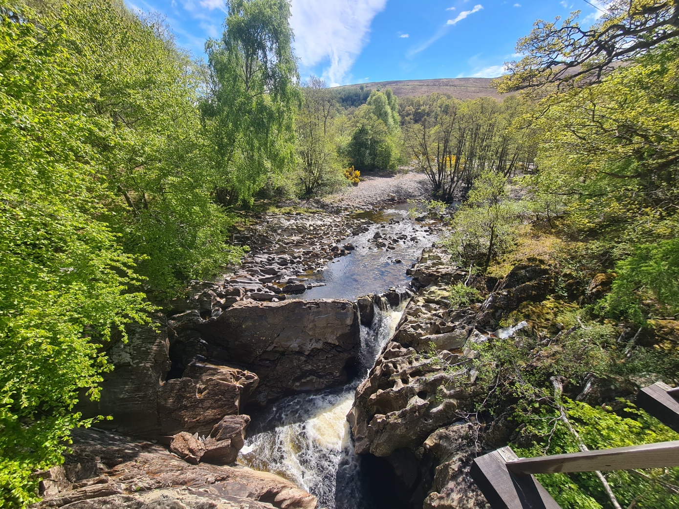
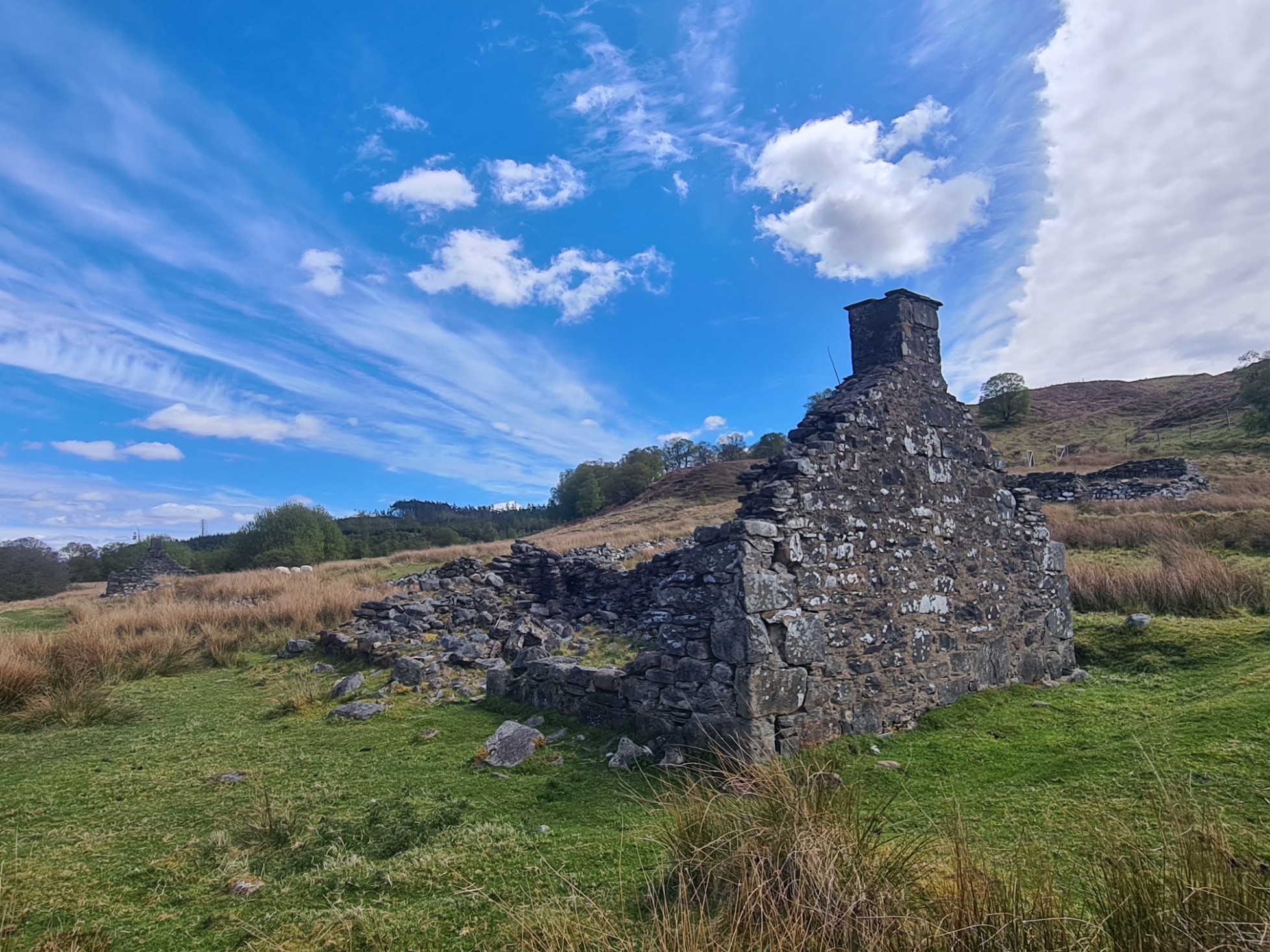
It was simply glorious walking from here. The river tinkled away on my left (still no Otter), ancient stone paths first led me through dappled deciduous woodland before the trail opened up into a wide valley. It is unsurprising that people chose to settle here and it wasn’t too far until I reached the crumbling mouldering remains of the Achnacochine croft and stone enclosures. There is a lovely place to wildcamp here, out on the grassy bank amongst the gorse beside the River Spean, but it was too early in the day for me and I had somewhere else in mind. Just past the ruins the trail crosses the Allt nam Bruach burn. This can be a difficult task at times but with the low water, it was an easy boulder hop.
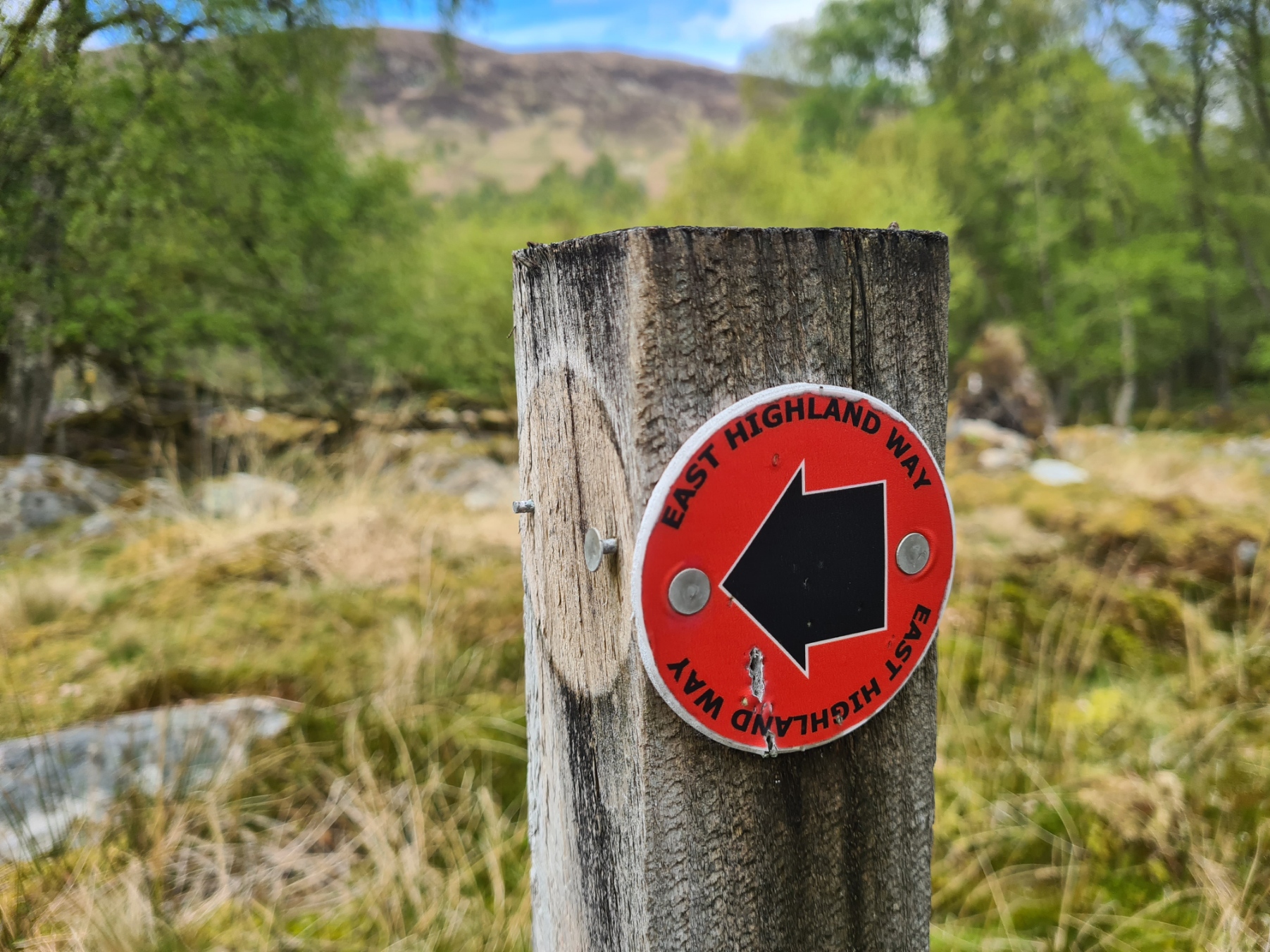
Once across the water, there is one of the very infrequently encountered trailmarkers, pointing the way into an at first young stretch of woodland, and also immediately into a boggy section that it took some effort to avoid the worst, crawling on my knees below the branches at one point. But the path soon began to open up, get drier as it climbed, views opening up too, the Nevis Range being left behind and those ahead coming in to view. I was now back onto wide forest tracks, with a fair amount of climbing added in for good measure. I should perhaps have halted for a late lunch but was determined to push on to tonight’s point on the map. This stony track could potentially be hard on the feet, especially if they had been soaked by the earlier boggy path. But my feet were in good condition and my day relatively short. However I have heard of others finding this section problematic, and it is early in the trail too, which could create issues for the remainder.
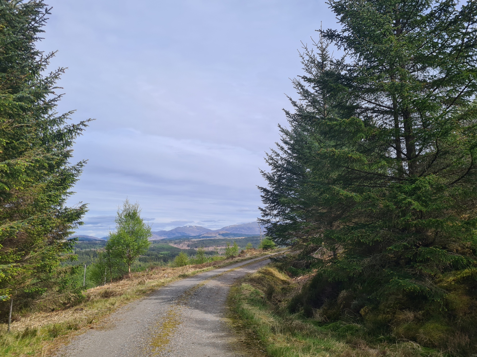
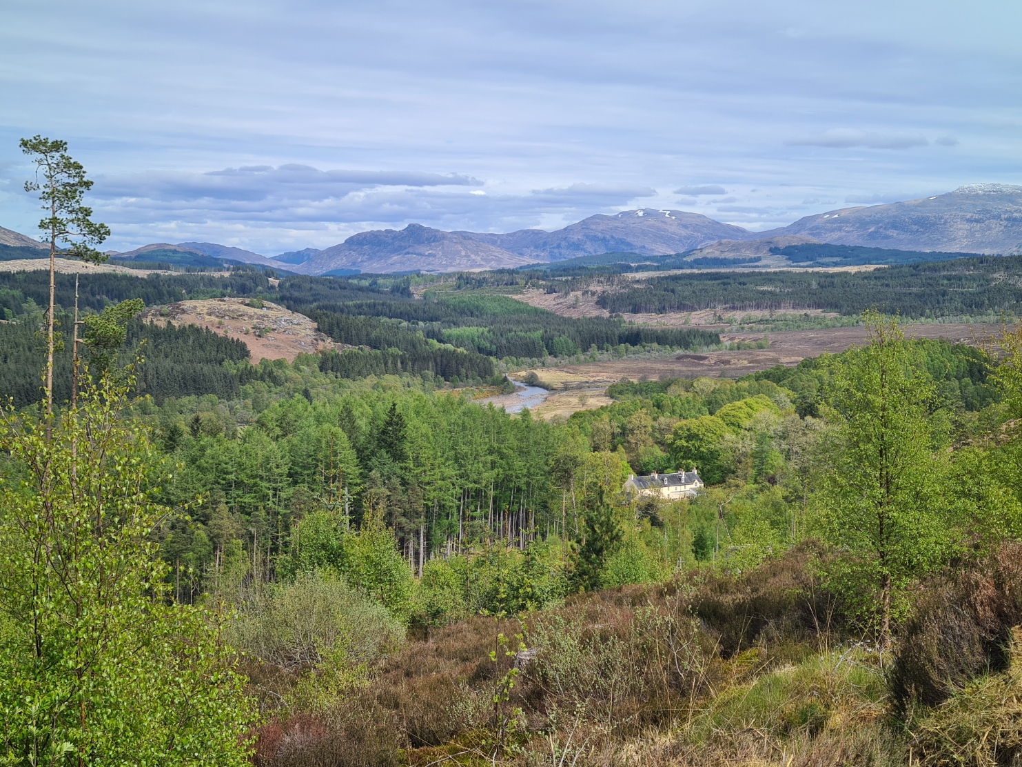
I enjoyed this walk immensely and it contoured and climbed steadily, before dropping down a steep track to exit on to a road immediately outside Inverlair Lodge. The Special Operations Executive (SOE) had requisitioned the lodge in 1941, with it then acting as their “No 6 Special Workshop School”. It was here that Hitler’s deputy Rudolf Hess was reputed to have been imprisoned following his solo flight to Scotland during World War II but there are doubts as to the veracity of this story.
From here it was just a mile or so to the little An Dubh Lochan (the black lake) where I hoped to wildcamp. There is a tiny raised wooded spit that sticks out into the northern end of the little lake and I was not holding out that much hope that I would be the first to arrive. As it was, I was, result. It is a lovely little spot and I threw the tent up, adding a few guys as it is a little exposed and things could get draughty if the wind built up overnight, I hate getting out of a tent in the middle of the night and will happily put in a few guys that are subsequently not required. The tent dried off easily in the little breeze that there was, that would also keep any midges away if there were any. The close cropped grass appeared tick free too, double result.
A car drew up at the road alongside the loch and the occupant put up his tent beside the car. No doubt he would have been where I now was if he had arrived a half hour earlier and no doubt he was cursing me. Another two cars and a van likewise arrived later in the evening and drivers also found patches beside the road on which to pitch their tents. They were all some distance away from me and I heard no noise at all all night.
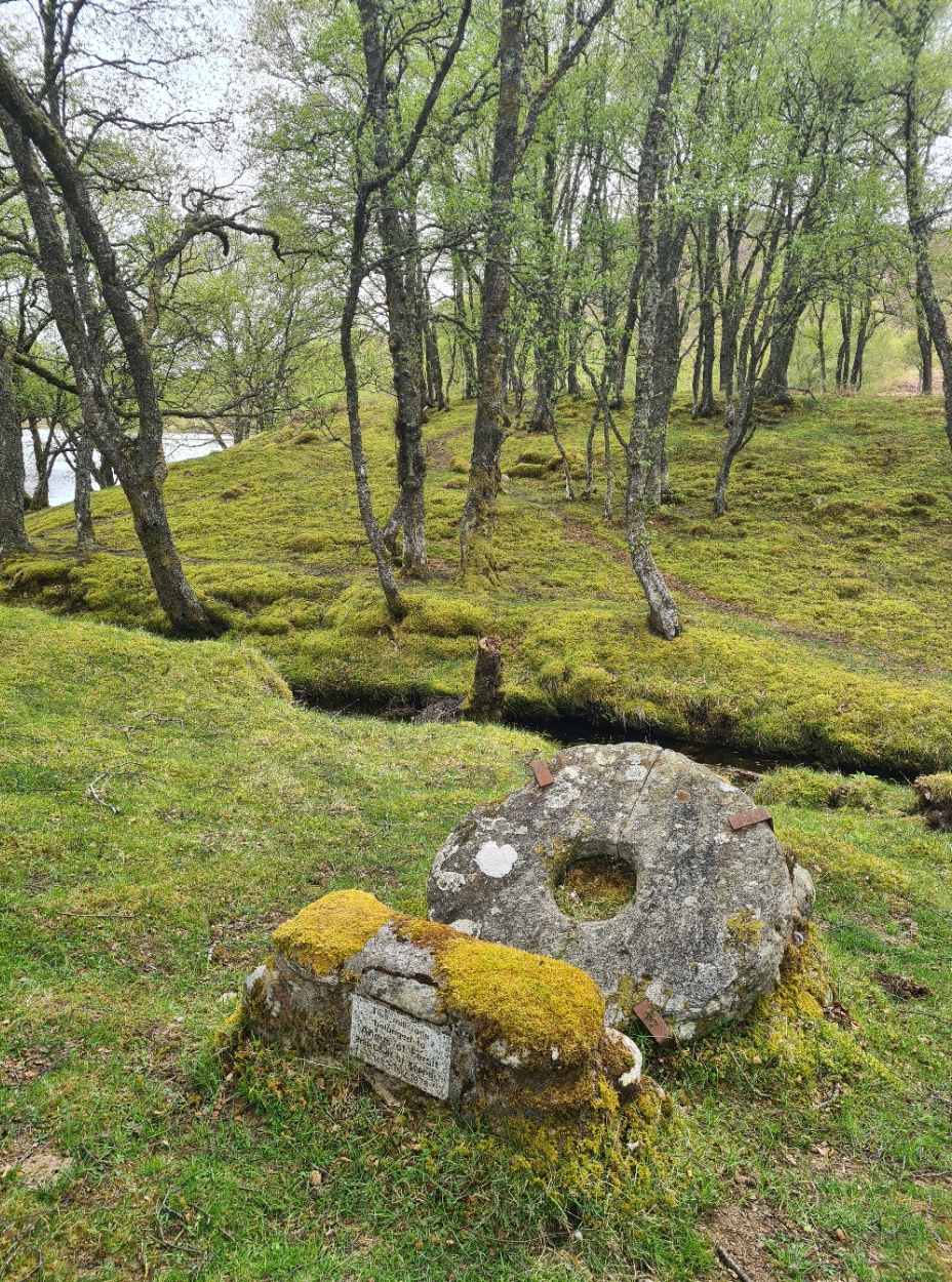
Later, while I was zipped up inside my tent, stripped and performing my usual tent ablutions and tick check, I heard the voices of two backpackers as they explored the site. After a few minutes they walked on and I again heard their voices later as they continued walking round the loch on the road on the far side.
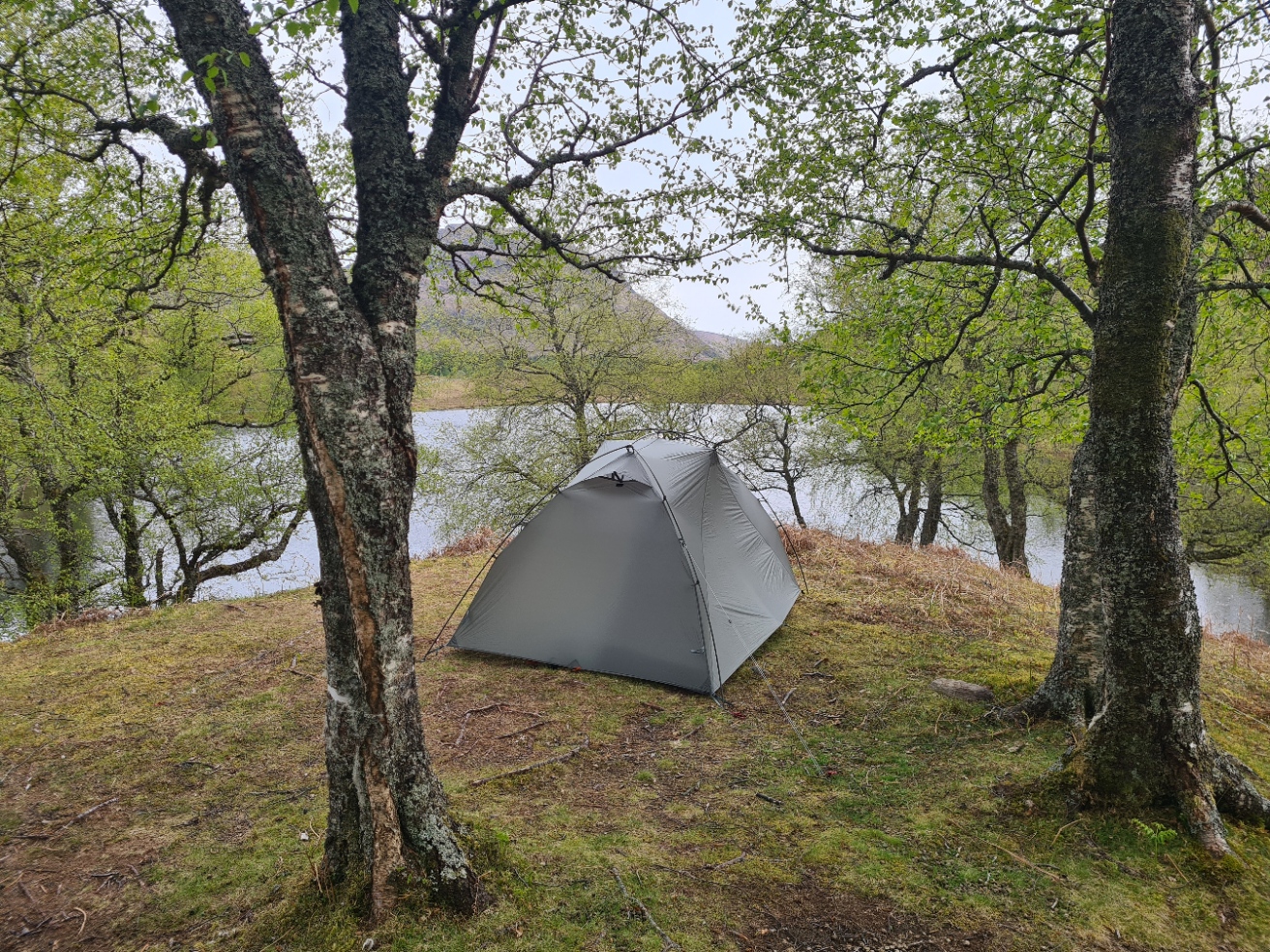
Tonight’s meal was a Real Turmat Kebab Stew, and excellent it was too, with the usual sweet treat to follow. The wind died and the temperature began to fall. I always carry a puffy jacket when backpacking, regardless of season, so pulled that on, quilt across my legs, while I again wrote up my days notes in my journal and studied guidebook and map for tomorrow. It began to gently rain and I peered out the tent door at the water, trees, mountains. Watching Willow Warbler, Great Spotted Woodpecker, Chaffinch, Chiff Chaff, Great Tit and Pied wagtail. Fish rose in the water, creating concentric ripples. The rain got heavier, so an evening walk around the site was denied me, I settled to sleep early, around eight. A good day.


Hi. Good to have you back, Jools. Sounds very pleasant. Had to cancel my first TGOC this year due to a delayed foot operation. Very disappointing. However, off to attempt the SWCP on the 8th of June. Wish me luck. Any tips? 👍
LikeLiked by 1 person
Hi Dan. I reckon the South West Coast Path is one of the best long distance hikes in the UK, probably the world, just has a terrible name! Not to be underestimated, a LOT of daily climbs and descents. Can be really sketchy underfoot if wet and muddy, as when I did it…
I would suggest seldom trusting to filter the water you need, due to agricultural run-off, especially on the south coast, but every day there are good alternative reliable water sources, it just requires a little thought. I never found food (resupply) an issue, there are a lot of pubs, towns and villages.
Due to circumstances I started the trail unfit and overweight, five hundred miles later I was probably the fittest I have ever been, and the remainder was a doddle. Not a recommended way of tackling it but if walking it in one go, taking your time, looking after the body, even this fat old chap found it an incredibly rewarding experience.
I know a lot of people do wildcamp it, but I found, especially on the south coast, the trail doesn’t lend itself to that. With the limited gap between farms and cliffs, it is difficult to remain inconspicuous, so, embrace the (many) campsites, pay and use them, and enjoy a shower. ‘Indoor’ accommodation can be expensive and gets booked up a long time in advance, though there are a lot of hostels, especially independent. I did wildcamp a little, and a walk in to the sea at the end of the day goes a long way to removing some of the grime of a days walking. On a trail this long, it is easy to mix and match and come up with different solutions.
As always, I found a hard copy map useful and the set from Harvey are lightweight, waterproof and very good. I don’t recall ever having need of my compass. A good monocular or lightweight ‘bins’ adds to the interest but those are very much a personal choice.
Take care and enjoy it, I am really quite envious!
LikeLiked by 1 person
Cheers. I’m hoping to wild camp about half of it. Probably no b&b’s unless a rich benefactor (wife) takes pity. I’m trying not to take food but it’s one of things I’m terrible at. I’ll keep it to a minimum. Budgetry requirements I’m afraid. I will be taking a filter (Sawyer Squeeze) and an activated carbon filter (Hydroblu) plus some tabs. It’s heavy but it may come in handy, for the first half at least. I can send stuff home if I find certain things aren’t being used enough. Feeling pretty fit but I hear you. “Rollercoaster” seems to be the word I hear associated with it the most. Oh, and I’ve got about 35 days. No pressure. 😬
LikeLike
Good luck, have a great time
LikeLiked by 1 person
An interesting read, thank you. Do you always choose a fixed date in advance for your Scotland trips or do you wait for favourable weather conditions?
LikeLiked by 1 person
I rarely have a fixed date and it is whatever calendar commitments permit, though to degree possibly also when travel is cheapest (day of the week). The weather in Scotland is so changeable that I think forecasts are largely unreliable. It can be chucking it down in one glen, while the next is bathed in sunlight. I prep for the worst, and hope for the best. I don’t feel that I am putting myself at risk that way as I don’t bag munros, or anything like that, where poor weather is life threatening
LikeLiked by 1 person
Hello, Jules. It seems a while since we heard from you, so a pleasant surprise. Sounds a good trail, will look forward to the forthcoming report(s). All the best.
LikeLiked by 1 person
Thanks Nick. Actually starting my next trail tomorrow, with Mrs Three Points, so it will be a couple of weeks before part two
LikeLike