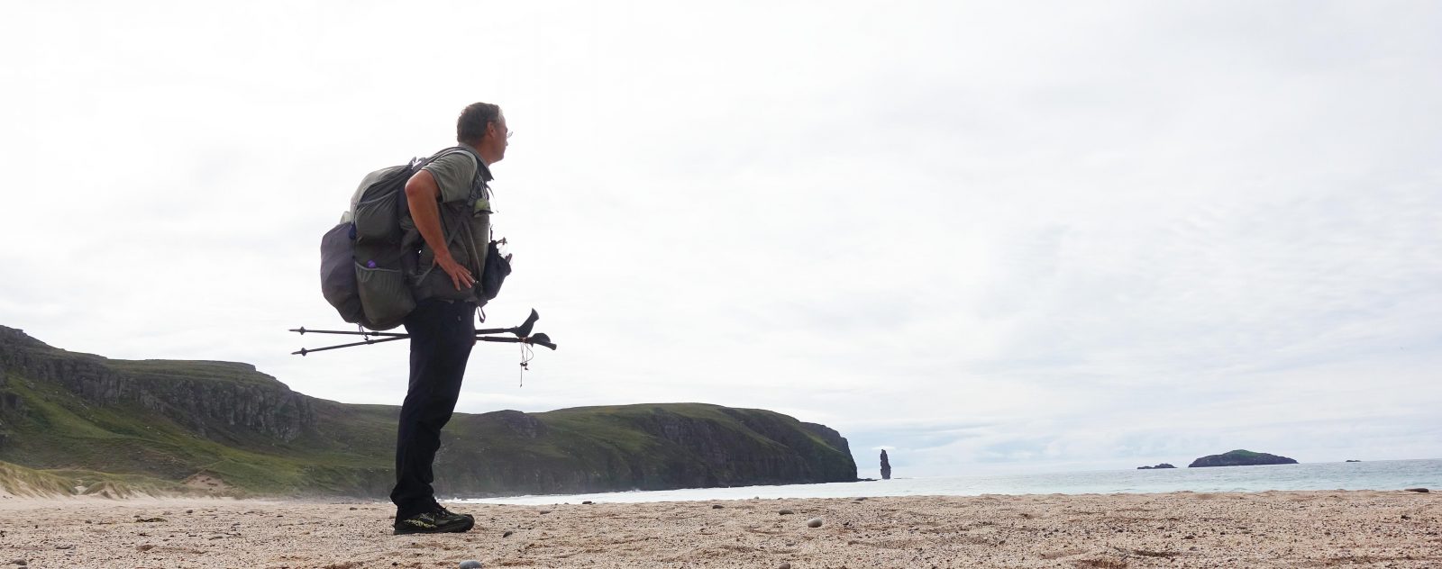
Having left Fort William behind me on my 82 mile walk to Aviemore, the trail now began to pick up a little. Day three was going to be my longest, but I continued to take things easy and enjoy May in Scotland.
Day Three: An Dubh Lochan to north end of Loch Laggan. 17.1 miles
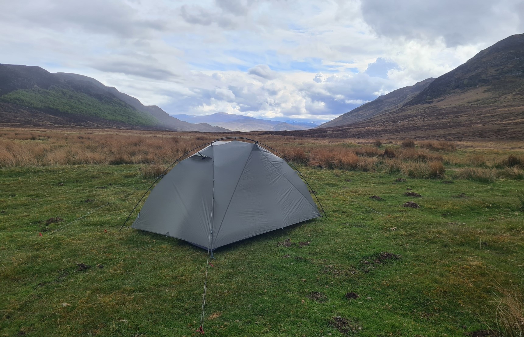
It rained for most of the night, but there was little wind and I slept well. I was woken by the sound of a cuckoo urgently calling. I had a quick mug of tea while packing as I wanted to get away sharpish. I was camped at an obviously popular spot for wildcampers and didn’t want to dig a cat hole here, preferring to wait until I had moved along a bit, away from the nearby loch and road. Breakfast would have to be on-the-go. Not only that, but I had a likely destination in mind for tonight’s wildcamp, which would require what would likely be my longest day on trail.
It was 100% cloud as I joined the quiet road round the loch, which made for a cool start to the day. I soon approached the small hamlet and weather station at Fersit and crossed the bridge over the River Treig. I was passed by a couple of very capable looking trail runners here and we briefly exchanged good-mornings and banter.
It wasn’t far up the road until I turned off to enter slightly wilder country, passing a small farm. I was still on a very good track that led me into the extensive Corrour Forest. It was only a mile or so later that I came across a couple of backpackers enjoying their breakfast. A little off to my left, on a side path, these were the two that had briefly explored my pitch last night before walking on. Father (who I never got the name of) and son Sam walked a long-distance trail across Scotland each year. The two Midlanders walk their trails in slightly different fashion to me, as they were polishing off real bread rolls, with real bacon and fried egg filling. A step up from my two calorie rich ‘long-life’ Pain au Chocolat.
Their route finding wasn’t up to their culinary skills however as they were confused by the direction I had walked toward them. This went some way to explaining their frustration on the awkward, overgrown, and apparently not to be recommended, path they had followed to this spot.
We chatted for some minutes before I walked on, knowing they would certainly catch up with me as I am not the speediest of walkers these days. Further on, I stopped to filter water from a handy tumbling tiny burn emerging from the forest on my right. I filled the ‘clean water’ rigid water bottle that lives on my shoulder strap and tucked the soft ‘dirty water’ bladder, with it’s remnant contents into the side pocket of my pack.
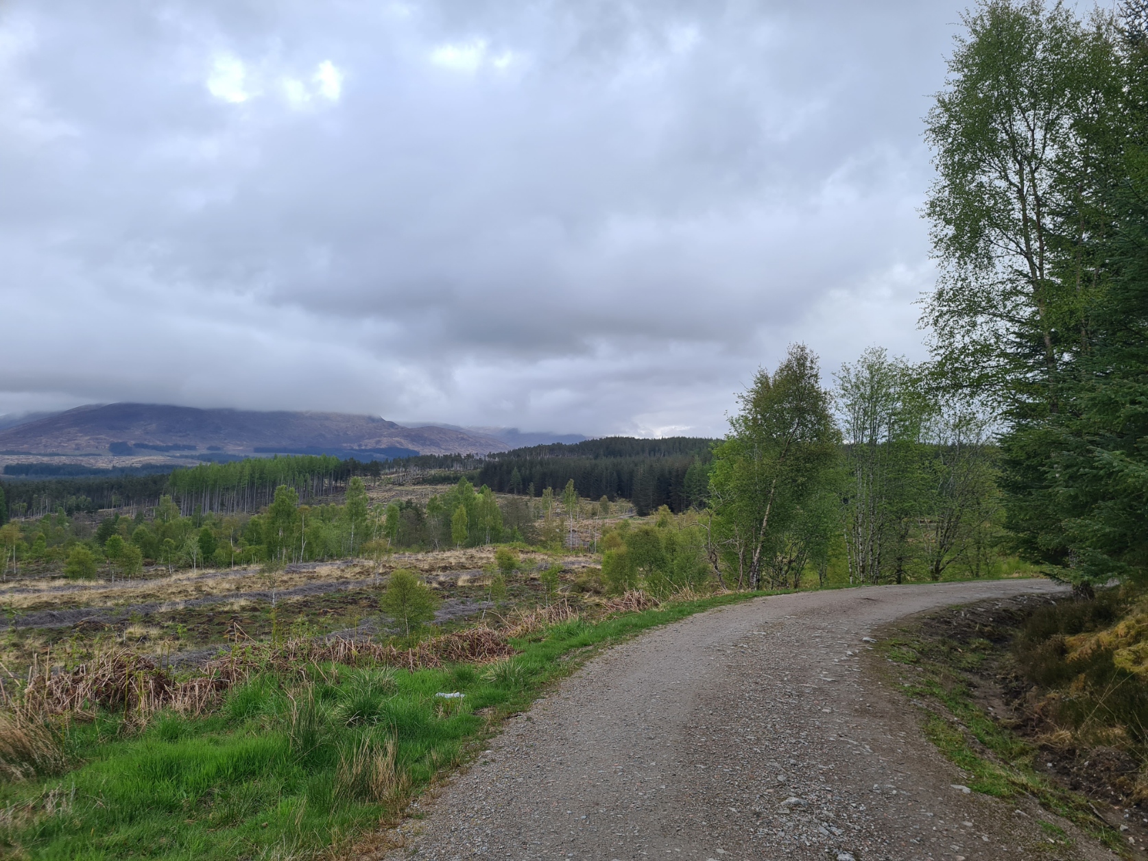
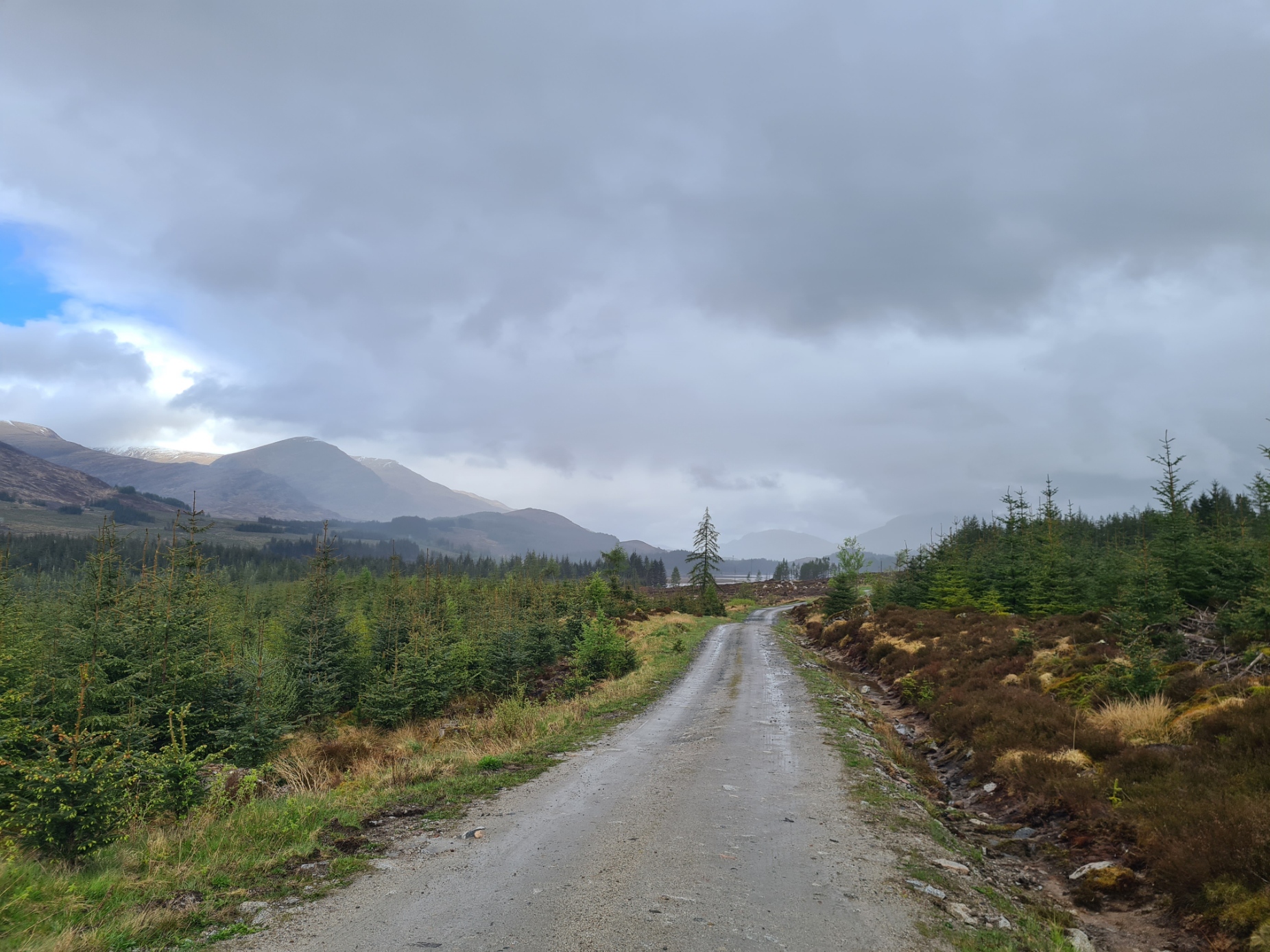
I really enjoyed today. I swung along, enjoying views of mountains, Binnein Shuas amongst them, , forestry, open moorland, ups and downs, glimpses of Moy Reservoir. I skirted Moy Lodge and then equally enjoyed the long forest track beside Loch Laggan, that remained hidden from view for much of the time. It did rain occasionally, the Frogg Togg jacket went on, it came off, it went on, rain got harder and the Tilley hat went on, it came off, it went on. The rain skirt went on, it came off. For an hour or two it was a frustrating time as the rain came and went and I was pleased when it blew away altogether, the humidity rising in its wake.
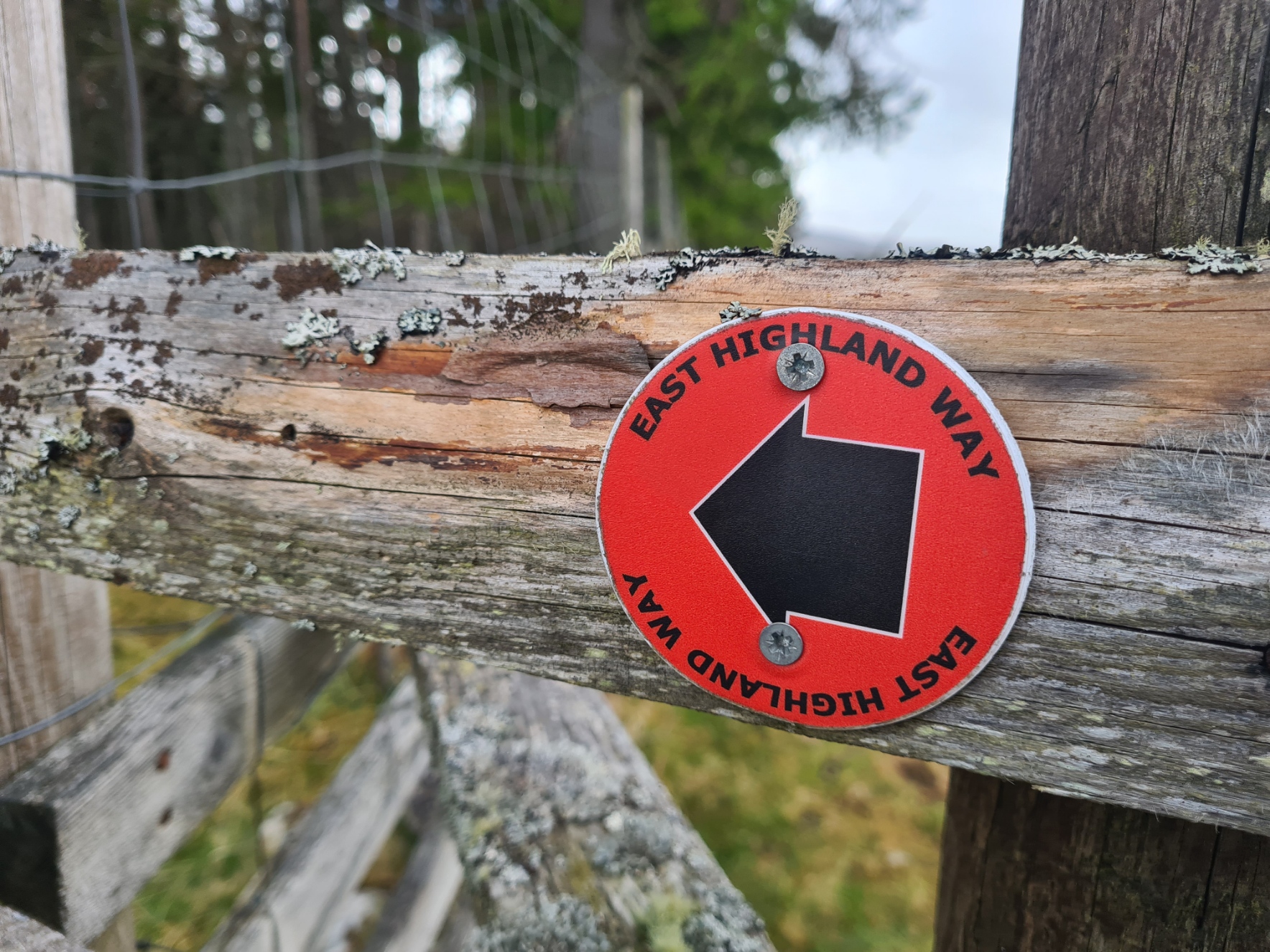
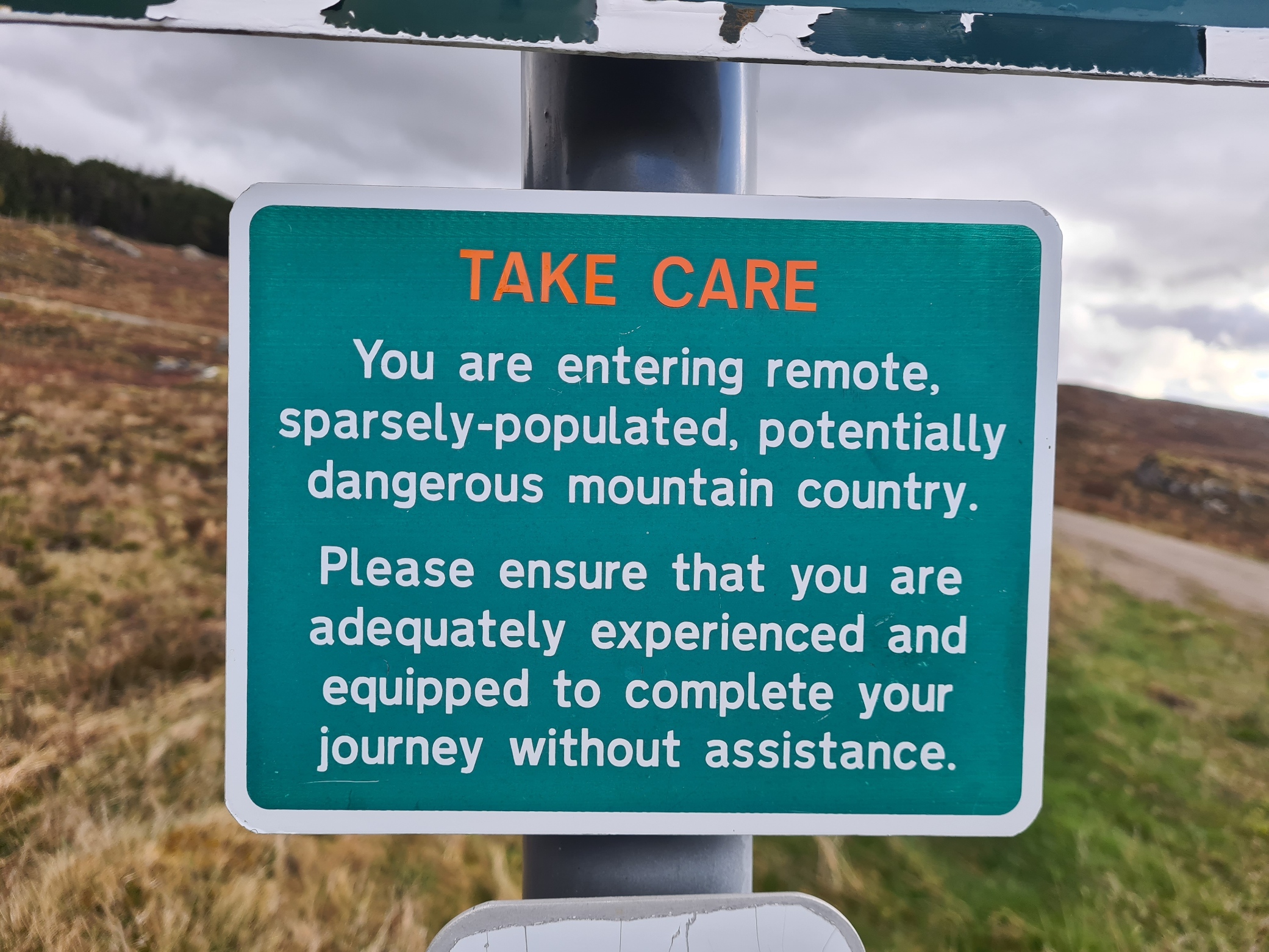
It is mostly simple wayfinding. Just follow the lochs for ten miles or so. There is one particular point where the track goes one way and a small and insignificant looking side track has to be taken off to the left. This lacks signage and could easily catch out the unwary. Carry a map and keep an eye on it. I have heard that a lot of those attempting the East Highland Way come unstuck on this section. Not only by wandering off the wrong way but finding the path hard on the feet. The tread is firm underfoot, frequently stony/rocky and hot or wet feet can suffer badly.
I had discovered a decent replacement insole on a visit to National Outdoor Expo in 2023 and have been using them ever since. For this hike, I had swapped out my insoles in my Altra Lone Peak 9+ for “Extra Cushion” footbeds from the Healthy Step Arch Angel ‘Hike’ brand and never had any issue with my feet on this hike. But to replacement footbeds must be added (relatively) low pack weight, modest miles, properly fitting footware, high merino content socks, and an evening footcare regime involving cleaning, footbalm, foot massage and dedicated night socks. This combination, combined with addressing any foot issue before it becomes an issue, will offset most foot problems.
I passed a couple of horseriders. Noticing their saddlebags I asked if they were Long Riders. “Yes” replied one. “I’m not, I’m dressage” retorted the other, “you have now been promoted”. The two were on a proper adventure, riding John O’Groats to Land’s End, raising money for Alzheimer’s Research UK. Having chatted briefly, we proceeded in our respective directions, it was only later that I realised I had forgotten to take photos.
Later, sitting on a fallen tree beside the track and overlooking Loch Laggan, dad and son EHWay backpackers caught up. We chatted and I was asked if I had dropped a water bottle. “No” I replied, bottle in hand, but still checked my pack. The dirty water bladder, complete with fitted water filter was gone! I was relieved that they had picked it up and returned it to me. A stupid careless error on my part and a lesson to be (re)learned.
Further on, the track began to climb, switch-backing up the hillside, ascending away from the loch and it took care to ensure I was on the correct path as there are quite a few crossings and alternatives, not all shown on the map. At some point I heard the two other EHW backpackers on another track, now behind and below me. The views opened up as I gained height. However I was nearing the end of the loch and I had planned to wildcamp somewhere at it’s north end, so, leaving the trail, I took a steep track down to join a metalled road immediately adjacent to the loch and followed this along, looking for somewhere suitable. As it was, I reached the extensive sandy beach at its north end. I am informed that this is the largest inland freshwater beach in Europe, which I find hard to believe. There are quite extensive pine and scrub covered dunes behind the beach and I walked through them, passing perhaps a hundred suitable spots until I found a decent level pitch, that also had a little protection from the stiff breeze coming off the water. While I was pitching, Sam’s dad walked past me on the beach. He stopped for a quick chat. He told me that Sam had sat down on reaching the end of the loch and refused to walk further, sending his father on to scout any better locations for their night’s pitch.
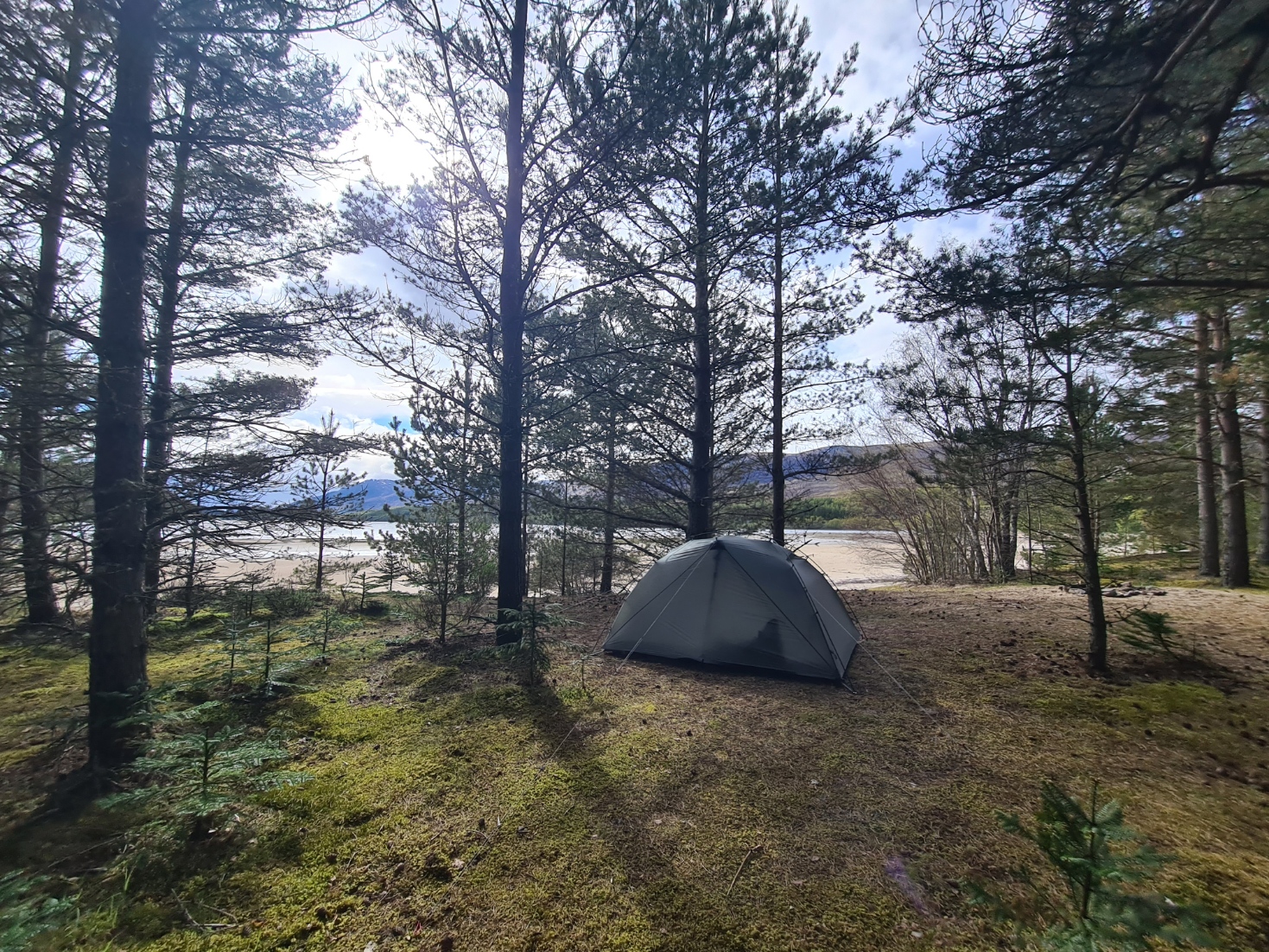
Having pitched, I walked barefoot the not insignificant distance across the beach to wade into the cold loch, both washing the daily grime off and filling my two-litre water bladder for tonight and tomorrow. Back at the tent, the two backpackers passed me, now heading to a pitch further on round the loch from me. Sam was badly blistered, but persevering. As for myself, I checked my body over, changed into night clothes, rested, hydrated, cooked an evening meal of Real Turmat Chilli Stew, and wrote up my notes and studied the map for tomorrow. Later enjoying both a Jonut and a whole bar of decent Ritter Rum, Raisin and Hazelnut chocolate with yet another brew. The temperature dropped and the puffy went on, quilt thrown across my legs. It had been an excellent day and I felt good. The rain set in so I partially zipped up the tent. A Diver called from somewhere out on the water. I felt very privileged to be here.
Day Four: North end of Loch Laggan to Dalnashallag bothy. 12.2 miles
I had slept well before waking from the cold. The days can be warm in Scotland in May but the nights are often quite cold. I had bought my lighter weight quilt but it was at its limit to keep me toasty warm. I threw my puffy jacket over my shoulder and now comfy, drifted off. I hadn’t set an alarm as I was in no great rush and was rudely awoken by noisy geese coming in to land on the water. I checked my phone and was shocked to see it was 07.45! The breeze had kept up for the night and the tent was dry, with no condensation.
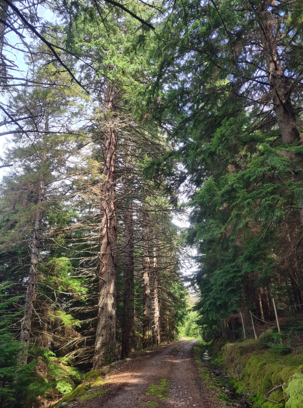
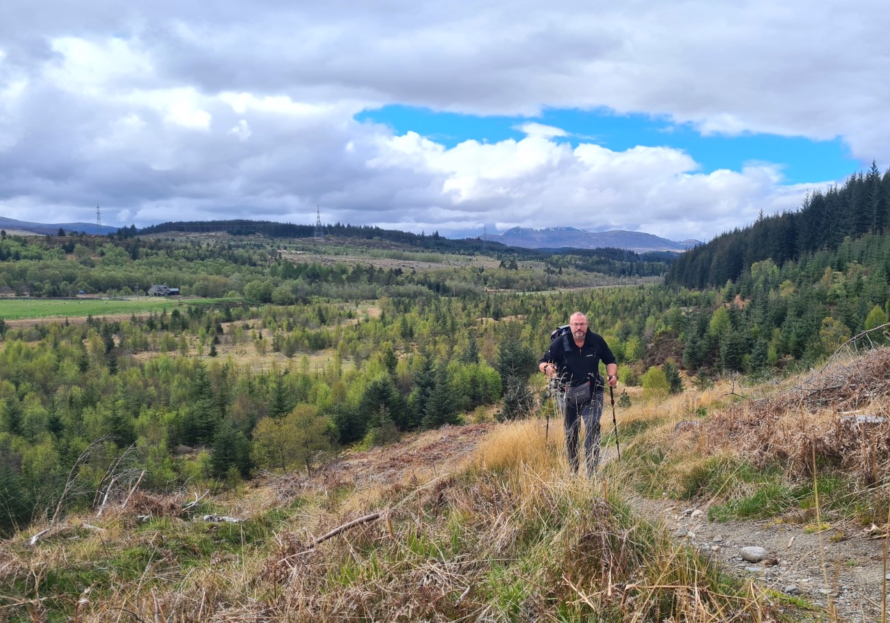
I breakfasted and drank mugs of tea while dressing and packing, brushed teeth, and was away. There was the shortest stretch of roadwalking before again joining a forest track that took me up the hillside, to pass through a busy and very noisy sawmill. I paused on its edge as there was a forklift working in the yard. The driver spotted me and waved me through. A friendly wave from each of us and both returned to respective endeavours, me to explore onward, him the much more important task of keeping the country’s industry rolling. It was good walking from here, if occasionally a little boggy underfoot, the grass was wet and my lower half got more than damp as a result. I wondered how many ticks I was picking up as this deer country. I was following their hoof prints through the fresh mud and I kept an eye open for them. The path climbed, widened, descended to cross a good newish looking bridge over the River Pattack and became a decent forest track again.
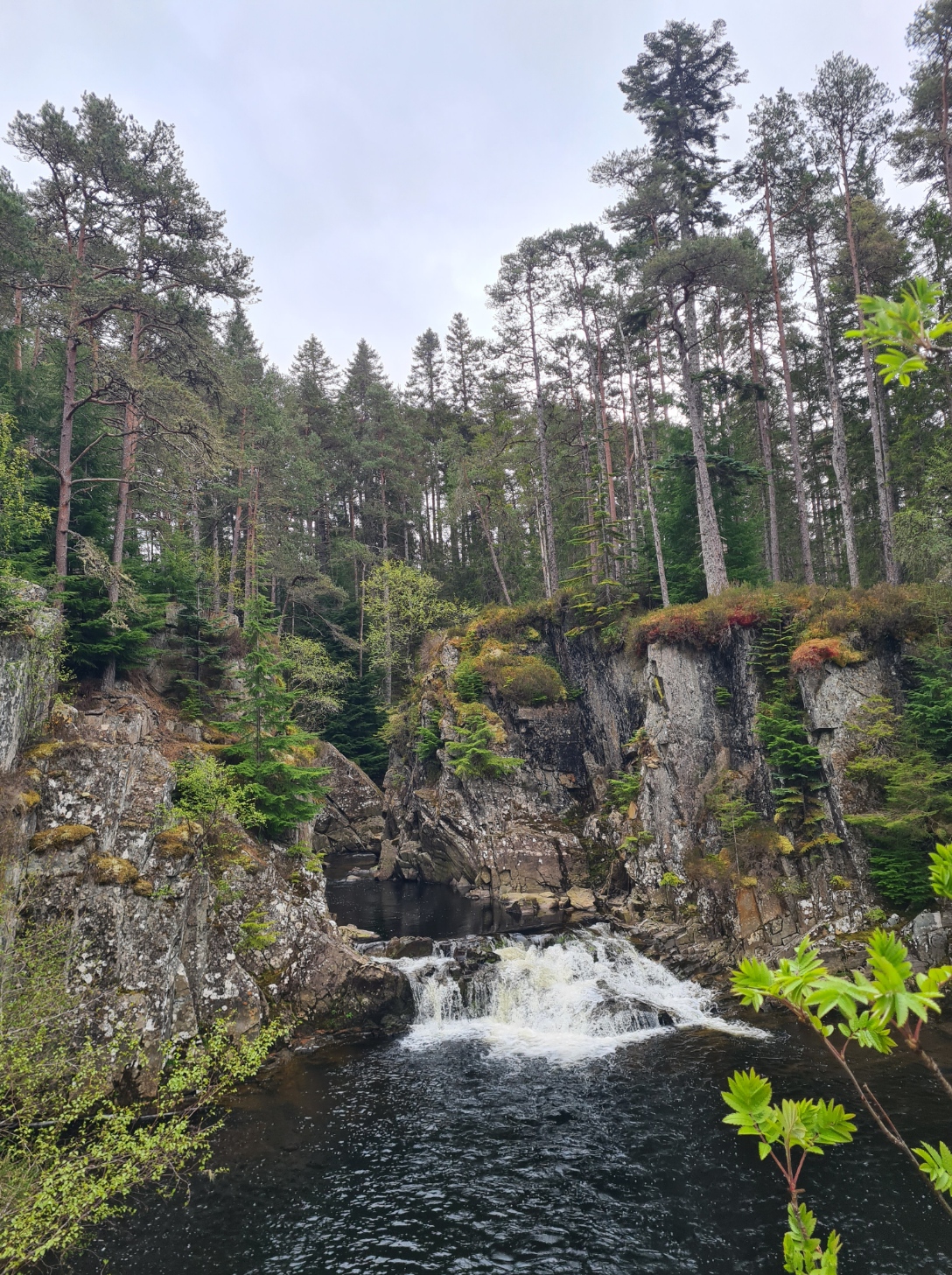
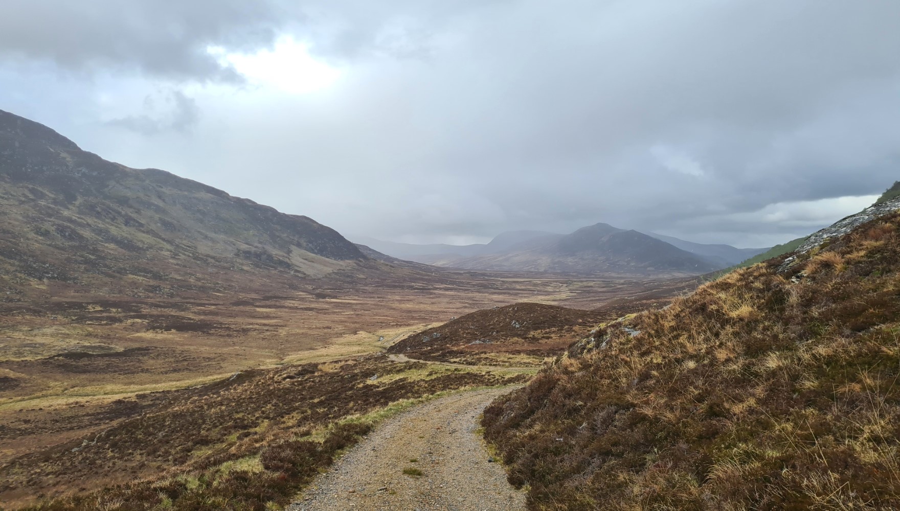
The official route now continues for a short distance before swinging round to cross the A86 at Feagour, avoiding a little roadwalking. But prior to that there is a lovely little alternative path off to the left that leaves the trail and snakes through the trees, before slowly descending to a small carpark. Beside the carpark are the Pattack Falls. They are pretty enough, and sitting in a lovely gorge setting, but not anything to travel miles to observe. On a hot summer day however, the pool below them would make for a lovely cooling off swim. It wasn’t a hot summer day. I walked on. Through the carpark, a short walk down the road, crossed it, and I immediately joined another forest track that ascended through the Black Woods. Much of which has recently fallen victim to ‘harvesting’. The advantage of that however was that the climbing path benefited from wide views of the surrounding mountains.
The Cairngorms were spread across the landscape to my right, and I enjoyed the views before again plunging into mature woodland. Butterflies lazily flapped along the rides, Willow Warblers called and I paused to watch a mixed group of tits working their way through the pines.
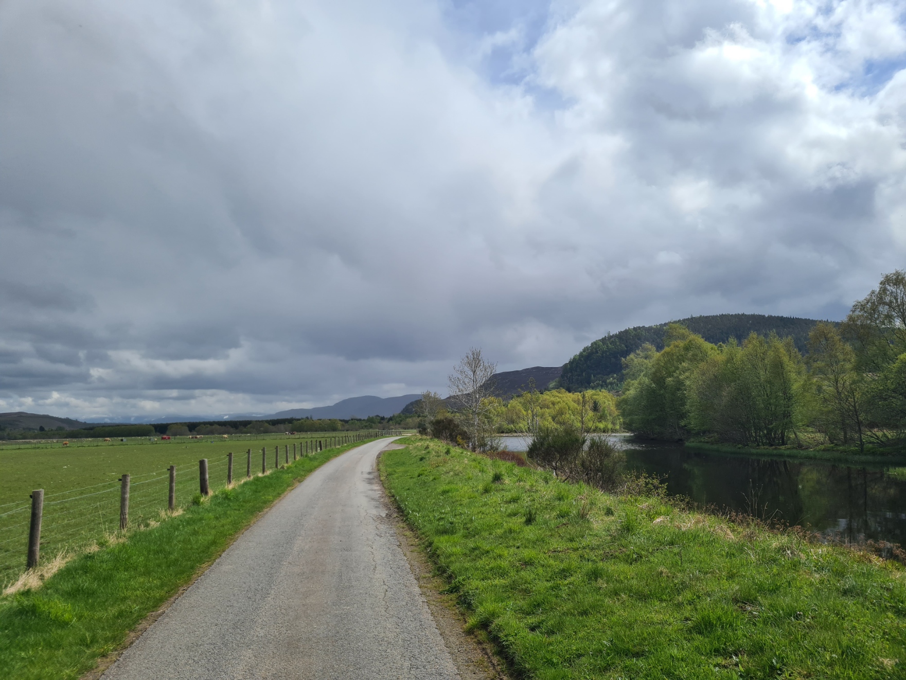
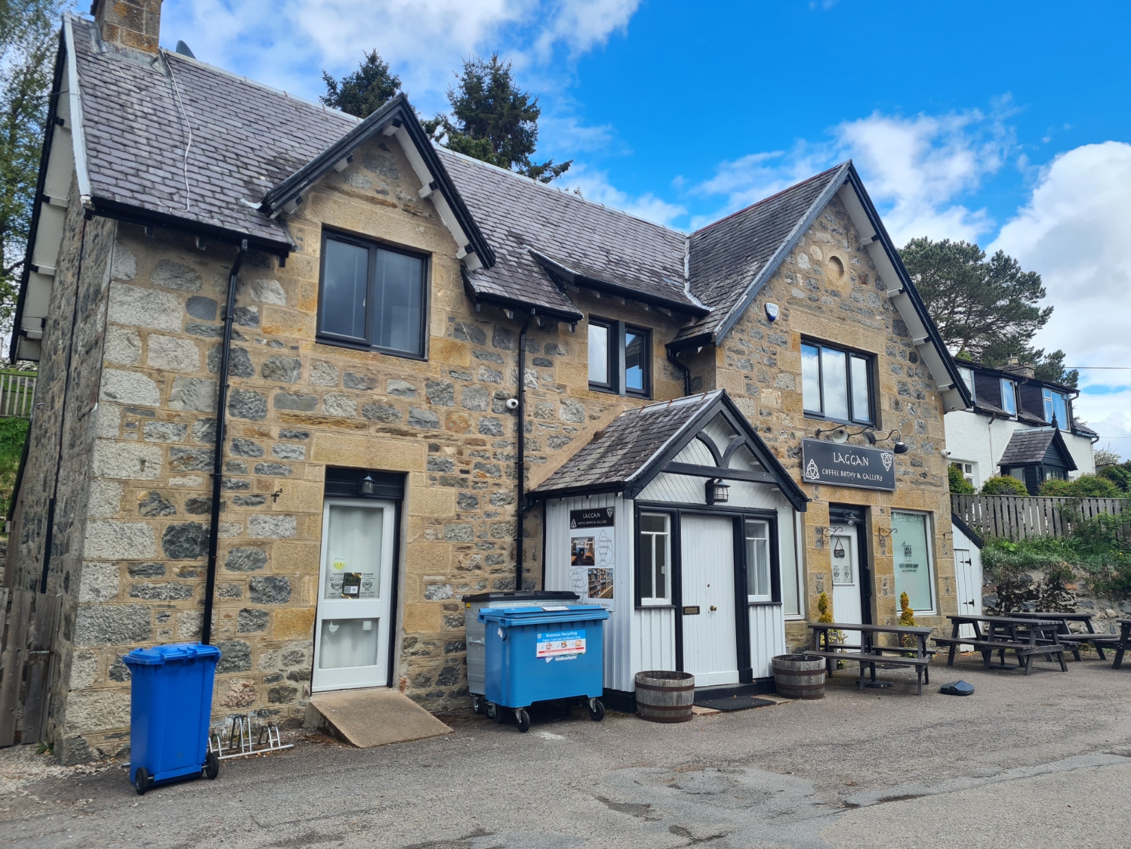
After a couple of miles of forestry tracks, infrequently being passed by speedy mountain bikers, I was disgorged back on to tarmac, followed for a half dozen miles. I passed the Spey Dam, not a great amount to be seen there, and continued down the quiet road. It was OK though, passing through the farm fields with the tinkling river over to my right. I was keeping an eye open for Otter, as they are here in good numbers. Sadly, none seen. The road swung away from the river and climbed. I huffed and puffed my way along at a good pace as I had an eagerly anticipated destination, the popular Coffee Bothy and Gallery at Laggan village. I should learn from experience however. They are open six days a week, closed on Mondays. You can guess what day it was.
While a Full Scottish breakfast for lunch was now unobtainable, it did have handy picnic benches outside where I brewed up a mug of tea and munched a bar. Also making use of the public w/c on the opposite side of the road for both ablutions and top up with drinking water. There was a steady stream of cars visiting the café, the occupants all getting out to do the same as I had, peering in the glass before observing the hours of business notice on the door. Another car showed up, the driver unlocked the café door and carried box after box of freshly baked cakes inside. She pointedly ignored my greeting.
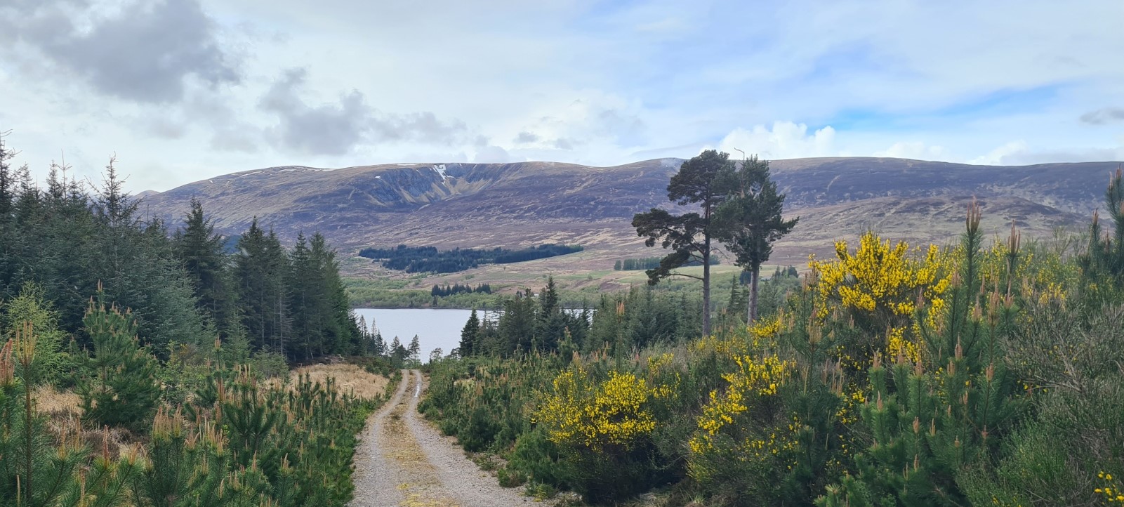
Sam and his dad passed by while I was sat at the bench, and I soon packed up, following in their wake, however this was the last I saw of them as I suspect that they roadwalked all the way to Newtonmore, further down the A86. If so, it is a shame, as they missed out on one of the best sections of the entire trail. After another mile and half of roadwalking, the trail leaves the road to first follow a very minor road to the small hamlet of Balgowan, then strike off across the open moorland of Strath an Eilich. It is superb walking and I enjoyed it immensely. My reverie was briefly shattered when two fighter jets screamed overhead. This section would be a good taster of moorland crossing for those new to the game, as it isn’t that far, but still gives a real sense of isolation.
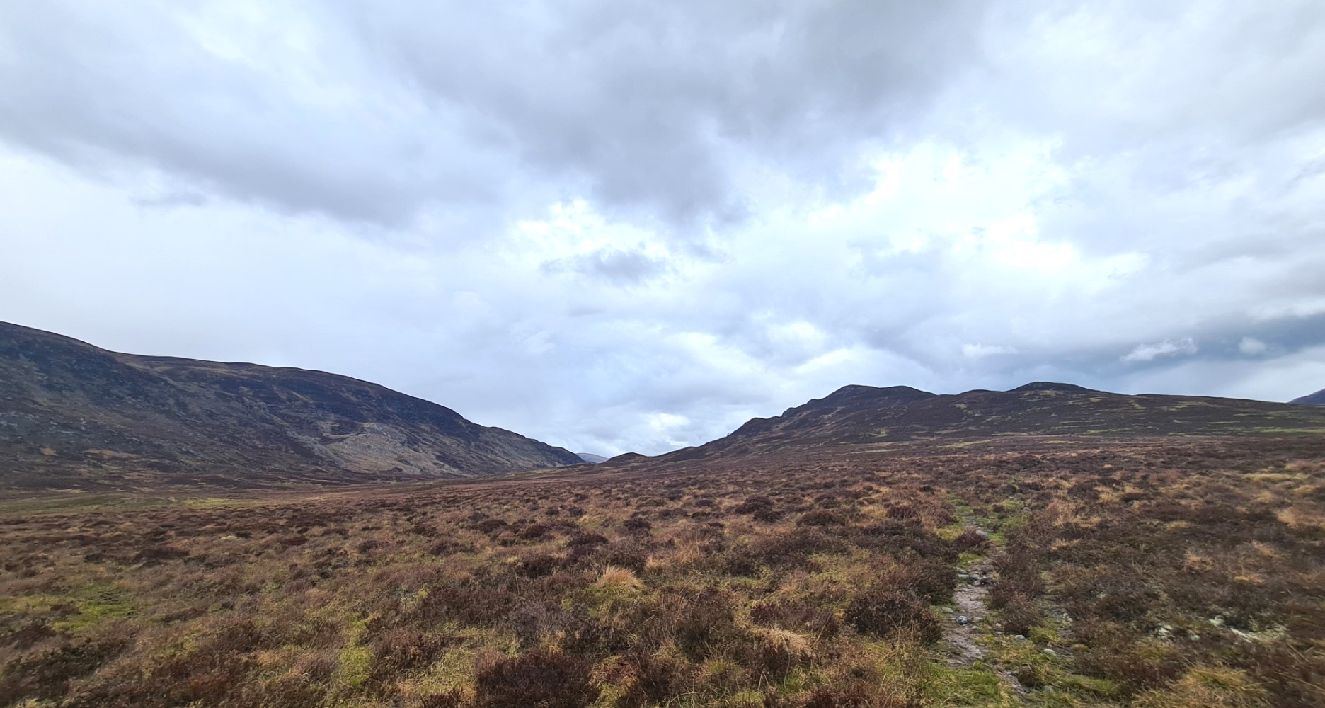
The faint path weaved its way through the heather. Occasionally lost, but soon picked up. The ruins of long abandoned shielings are passed. It is a glorious walk but over too soon as after one last climb, the Cluny Estate track is found. This provides easy to follow firm walking all the way to the east end of Glen Banchor.
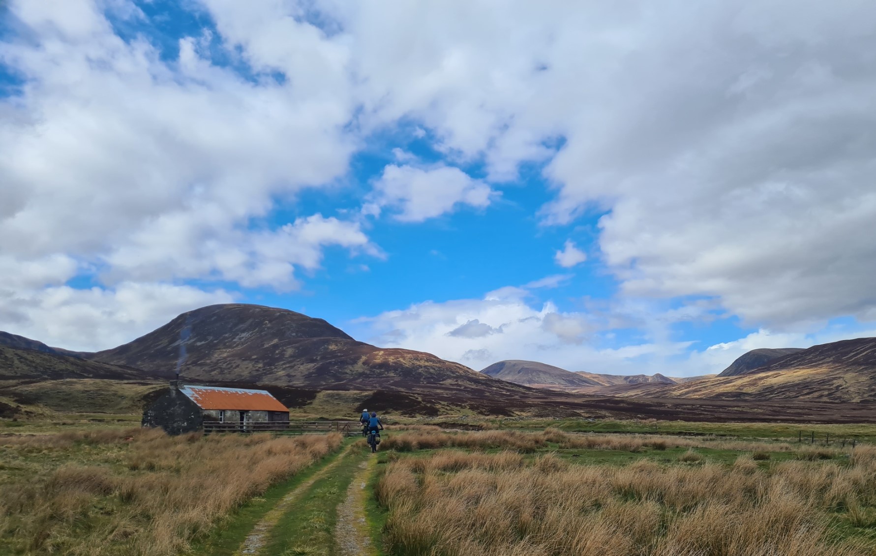
Dalnashallag Bothy is in a beautiful location and I had been looking forward to camping here. There is a decent burn beside it for sweet water and it is surrounded by low hills. You never know what you are going to find when you arrive at a bothy. A couple of bikepackers rolled past me as I neared, but on reaching the bothy, rather than go inside, I immediately went to look for somewhere suitable for the nights pitch as I could see rain approaching down the glen. Tent up and a couple of litres collected for later, I could now kick off my trail shoes.
The two cyclists had moved on immediately after chatting to a man and woman that had emerged from the bothy. I found out why when I went over. Flying in the face of bothy etiquette, put simply, I wasn’t welcome. The lady was pretty adamant that they had exclusive use, having arrived first. Despite this, I did take my foodbag and stove over later, thinking I would cook and eat inside, but the door was locked from the inside. I kicked and rattled it until the lady grumpily unlocked it, I was informed that I was welcome to stay, if I sat in the adjacent woodshed. I left their little group to their desired privacy and returned to my tent for an excellent Real Turmat Chicken Curry, followed by an uneaten Snickers, originally intended for earlier in the day, a Jonut, and hot Oxo.
It had been a terrific day’s hike, especially the final stretch, with more heather bashing to come tomorrow. I had run out a few extra guys as squalls continued to pass down the glen and I wondered how much sleep I would get. The guidebook warned me that it could be boggy for a while first thing tomorrow, especially after rain, but that was another day’s adventure. I put my book away, messaged home on the Garmin and lay, comfy warm under my quilt, listening to the rattle of rain on the fly until I drifted off.

Quick question, have you tried an elephant foot? Apprently it like a half sleeping bag with suspenders which used with a puffy jacket makes a full bag. It apprently a mountain climbing thing. Think Darwin on the trail is using on his current journeys.
LikeLiked by 1 person
Nope, never used one, and v unlikely to. Really requires a very good, extremely lofted puffy/belay jacket to make it work. One for the more extreme ventures. Not my thing. I’m definitely a convert to quilts (says he, wrapped up in one as he writes this, tent being battered by rain and wind in Denmark)
LikeLiked by 1 person