
The Norfolk Coast Path
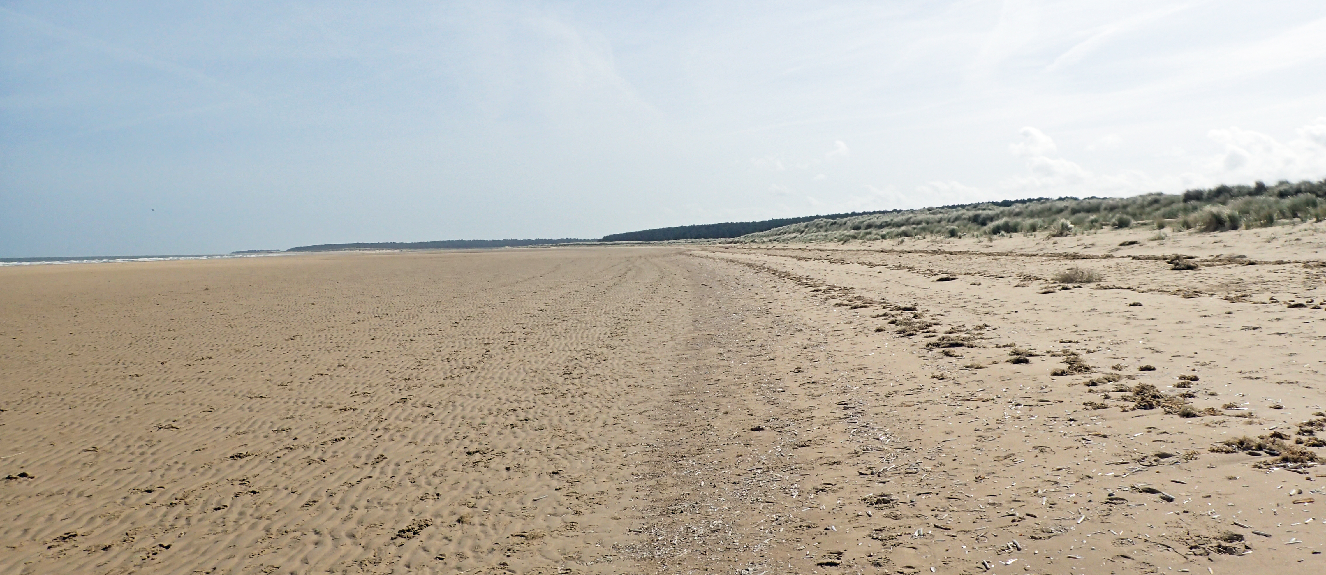
Sandy isolation as I walk towards The Firs at Holme Dunes National Nature Reserve
Paths were invariably well maintained, I often found that I had strayed off the official path on to one of the many other alternatives, but they all went in the same direction
Starting on 1st April 2017, I walked the Peddars Way and Norfolk Coast Path. On day four, I finished off the Peddars Way and began the Norfolk Coast Path, the flavour of the walk changed immediately and dramatically. On my walk northward from the Suffolk/Norfolk border, I had encountered very few people on the trail, as soon as I hit the coast, this changed. Not that anyone was doing, or appeared to be doing, the national trail. It was just that I was now in the midst of holidaymakers, fishermen (and fisherwomen, or is it just fisherpeople?) and the residents and workers in the small and larger towns that were lined up, like pearls on a necklace, along the coast.
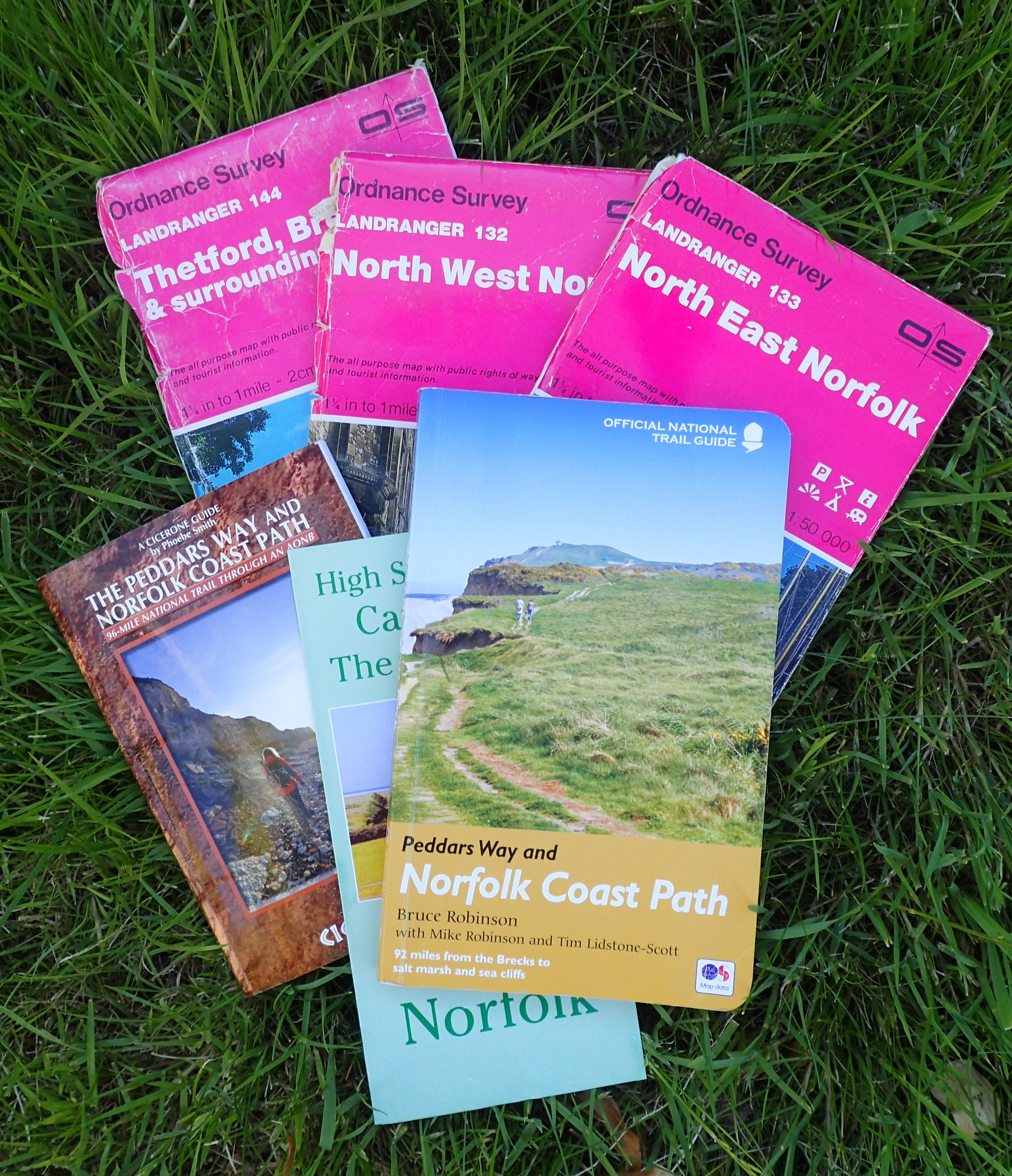
There a number of map and guide options for the Peddars Way and Norfolk Coast Path. Knowing I would be going ‘off trail’ on occasion, I took the relevant 1:50 000 O.S. maps (sans covers) as I already had them. I also purchased the Cicerone guide and the official trail guide. Both are excellent but I only took the Bruce Robinson guide with me
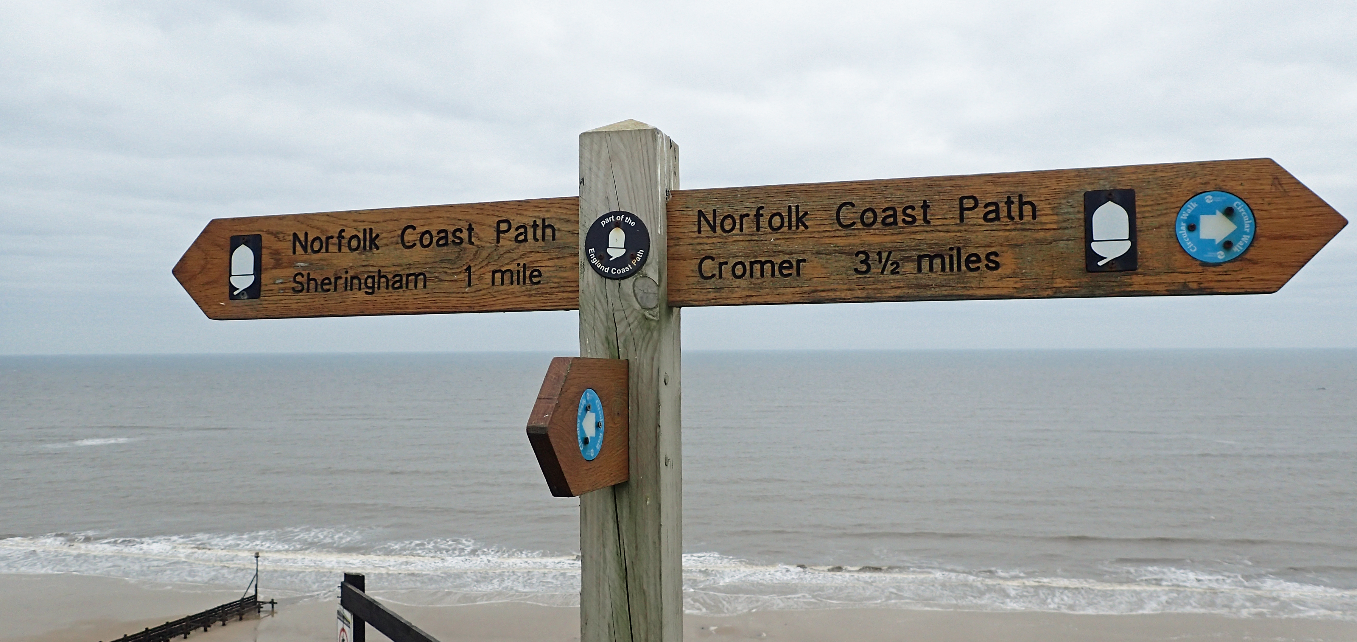
My next few days comprised 20 miles from my last campsite on the Peddars Way, the lovely Bircham Windmill, to Deepdale, then 14,5 miles to Highsand Creek, followed by 16 miles to my only stay at a hostel on the walk, the YHA hostel at Sherringham, leaving me a simple six miles to finish my trail at Cromer pier and then to the railway station. In all, I did 98.5 miles. This was certainly taken over the ton by my little wanderings and evening sorties from my tent. But, with map miles, it sits at 98.5 miles.
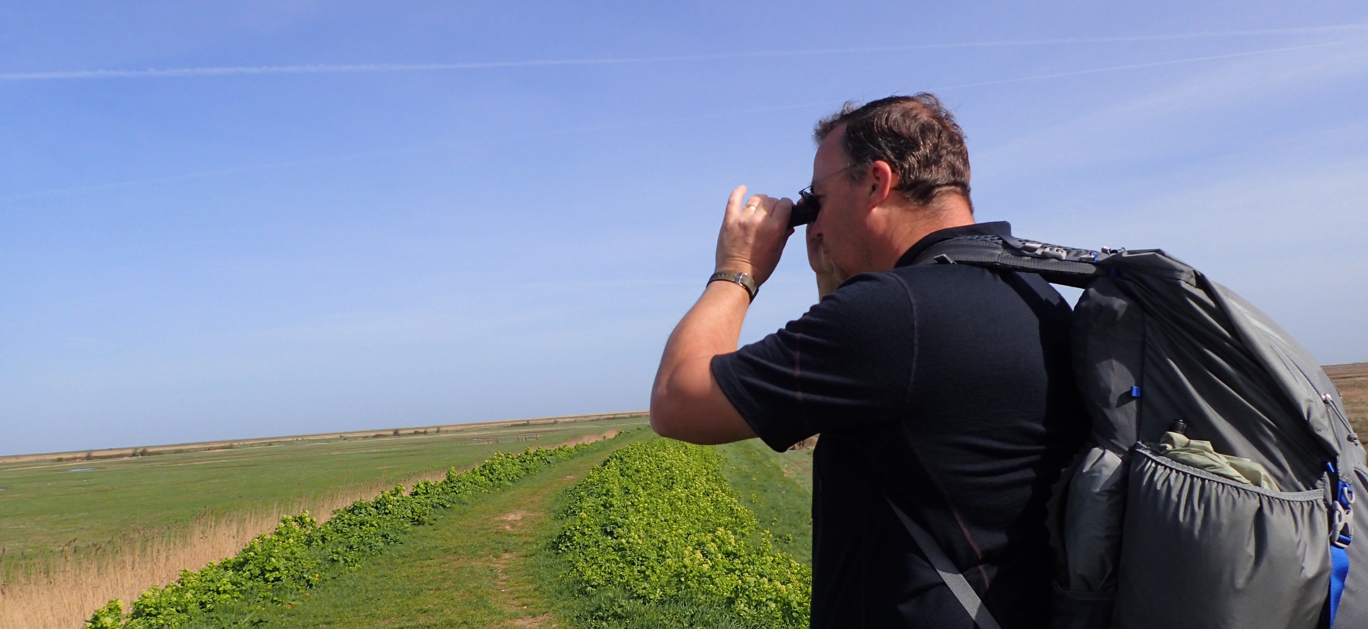
Because I knew that the nature watching was going to be so good on this trail, especially the Norfolk Coast Path, I wanted to include some optics in my kit list. Eschewing my heavy binoculars, I took a 109g 8×20 monocular. I was pleased I did as it was often used
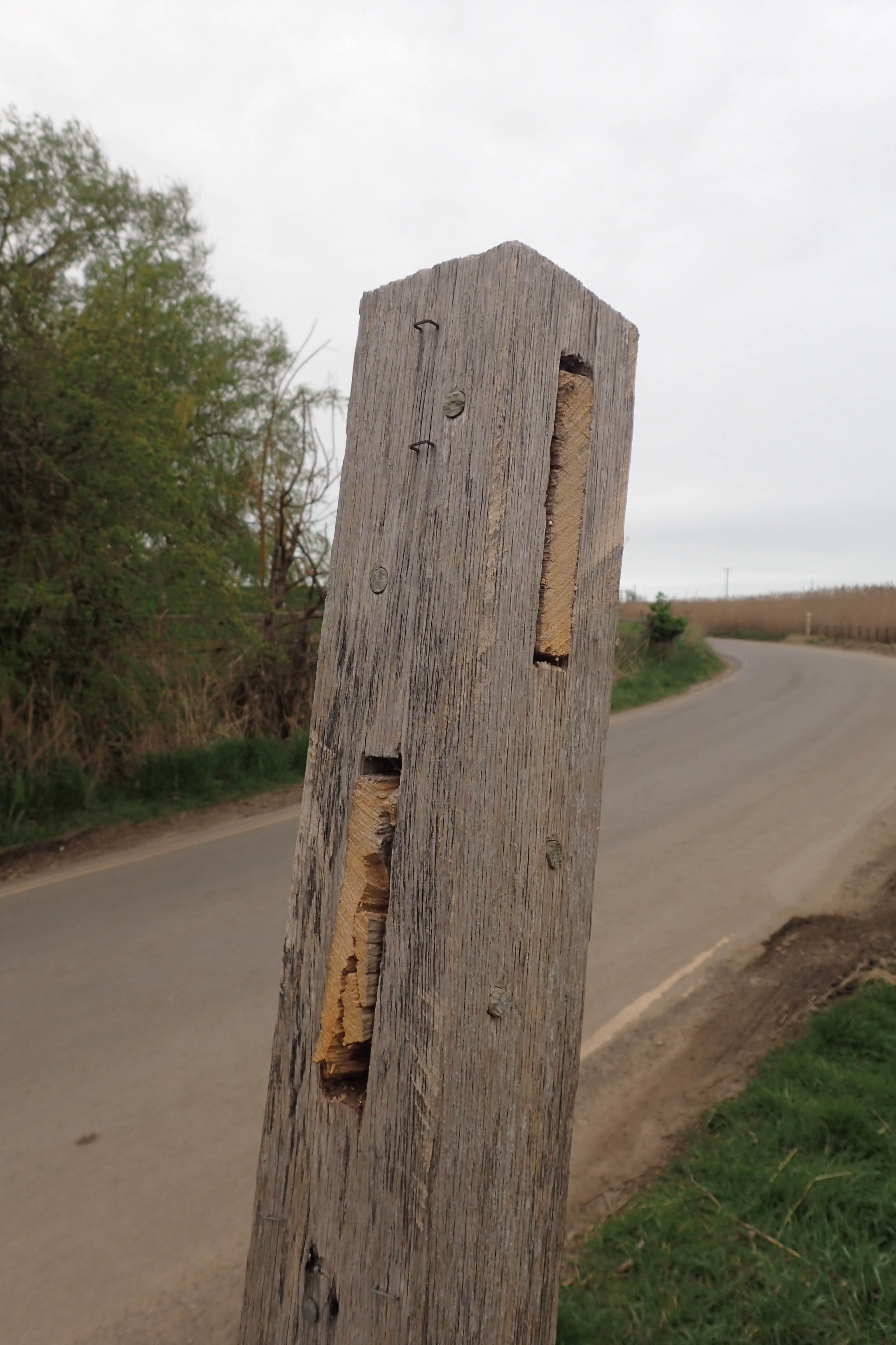
Someone had been playing silly buggers at Brancaster and had sawn off the finger posts. My own fault, I never noticed and sauntered straight on, needlessly walking a mile and a half out to the point and back
I used to visit this part of the coast, almost as a pilgrimage, in the 1980s/90s when I was a keen birdwatcher. It is amongst the very finest of places to view birds- residents, migrants, raptors across the reedbeds, fantastic. But for me, it was the visits each late autumn/early winter to see the thousands of geese, wintering away from the harsher conditions of Siberia that will live with me forever. Even hoofing along with a pack on my back and stopping infrequently, the Norfolk Coast Path was still a nature-watching marvel.
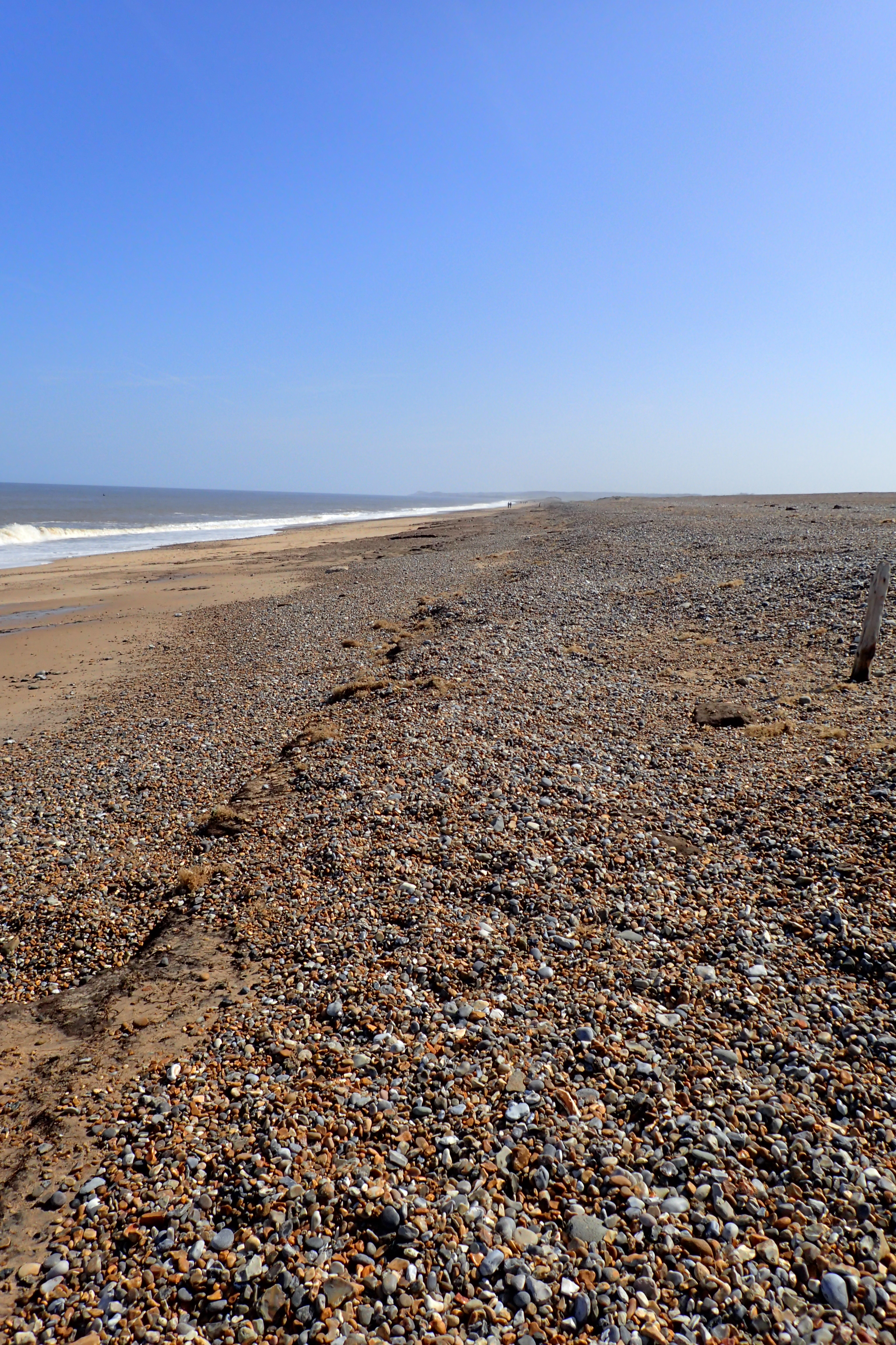
The early fine weather had encouraged many car borne visitors but few could be bothered to walk more than a mile or two from any carpark, as a result I had much of the coastal walking to myself for hours on end.

Brent Geese, Shelduck and waders were frequent companions. Seals were also often spotted
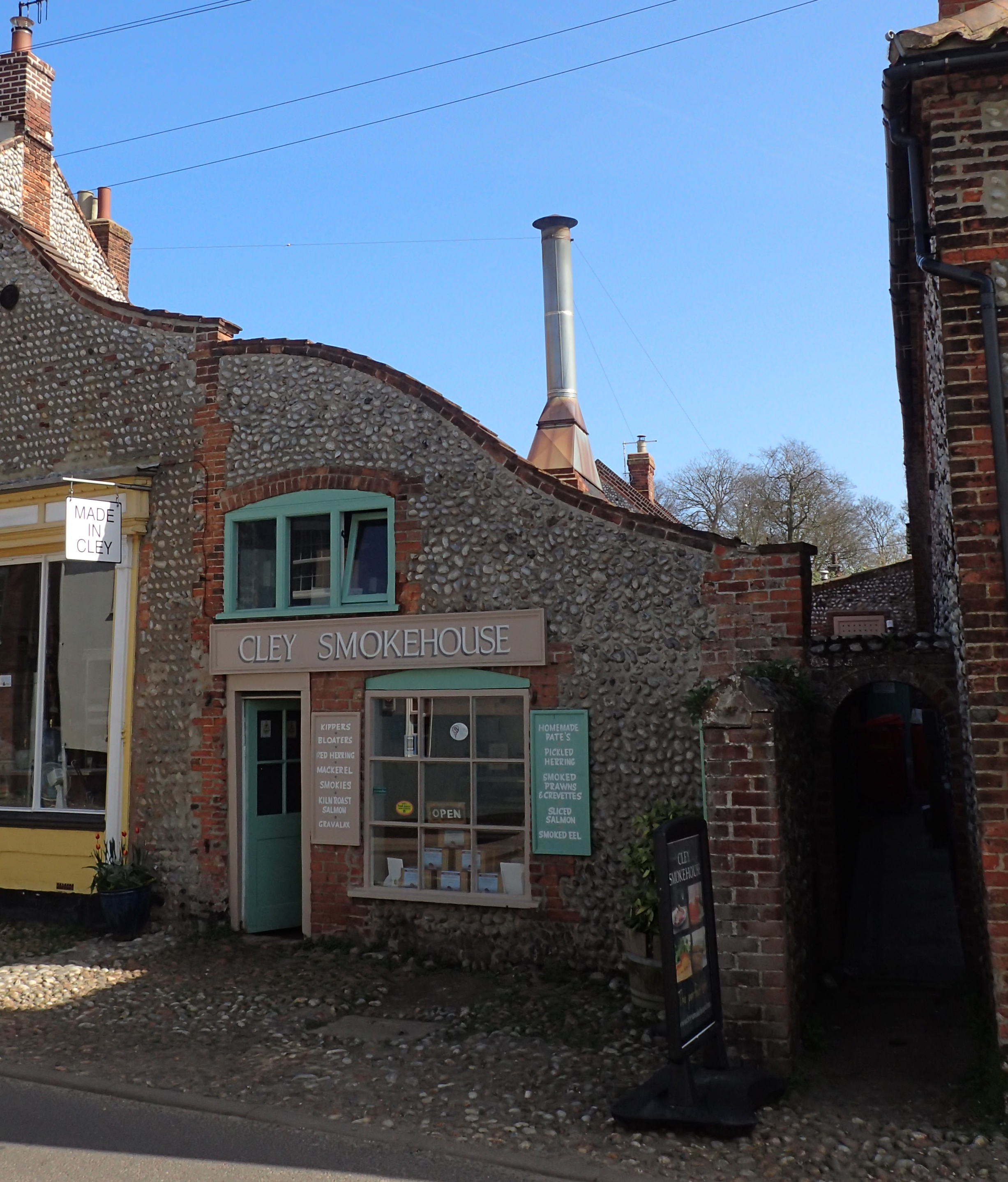
Smokehouse in Cley
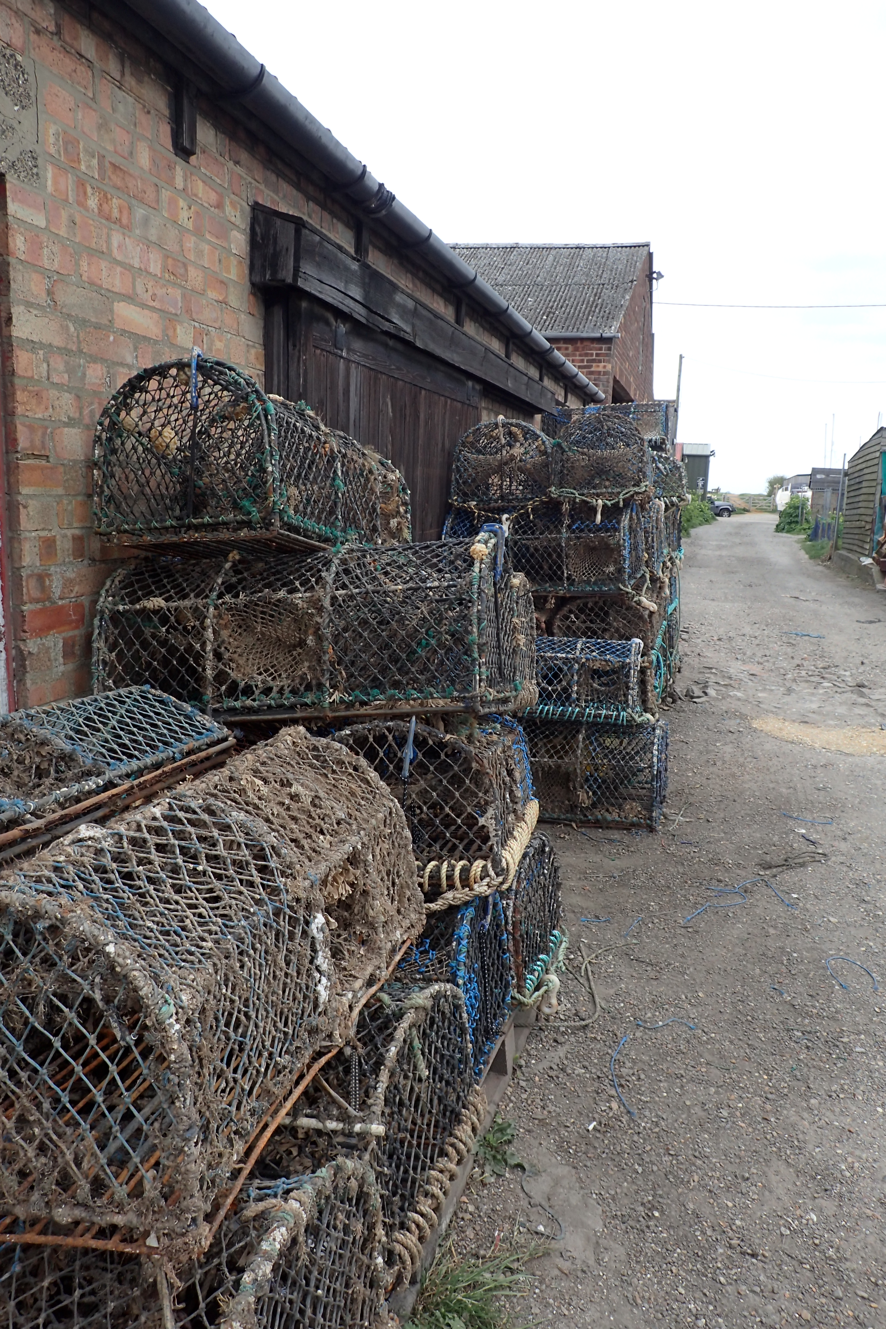
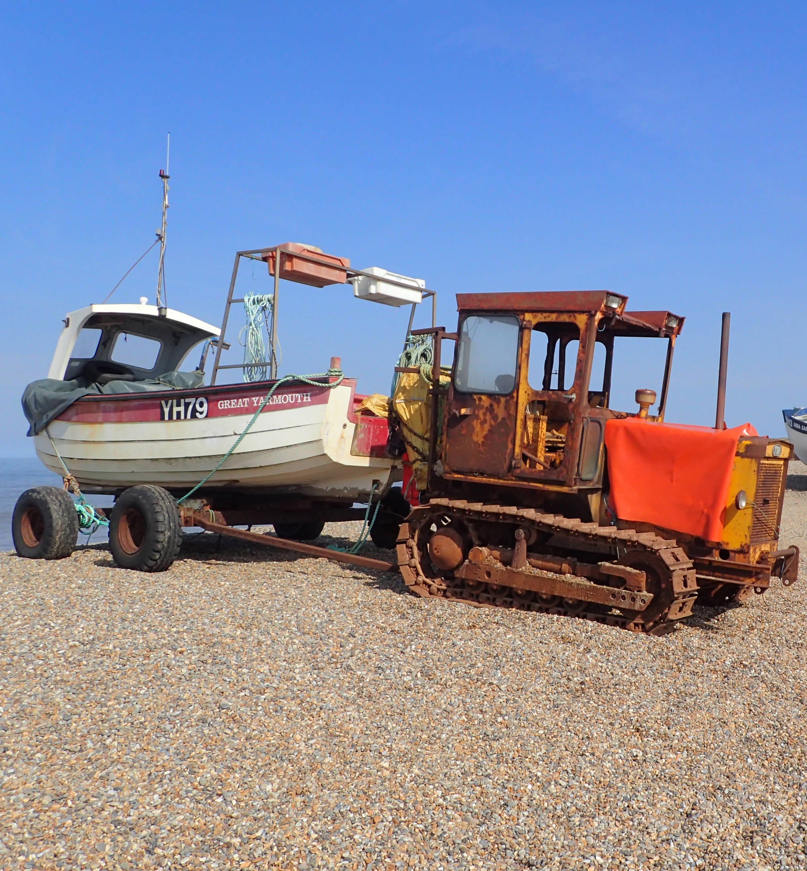
Lobster and Crab pots are set all the way along this part of the coast
Much of this part of the coast continues to change from the industry of old- fishing and smoking of fish, to the new, the tourist. However the flint built buildings are, mostly, well maintained, the natives friendly and opportunity to buy provisions vastly improved on anything I had experienced over the previous few days.
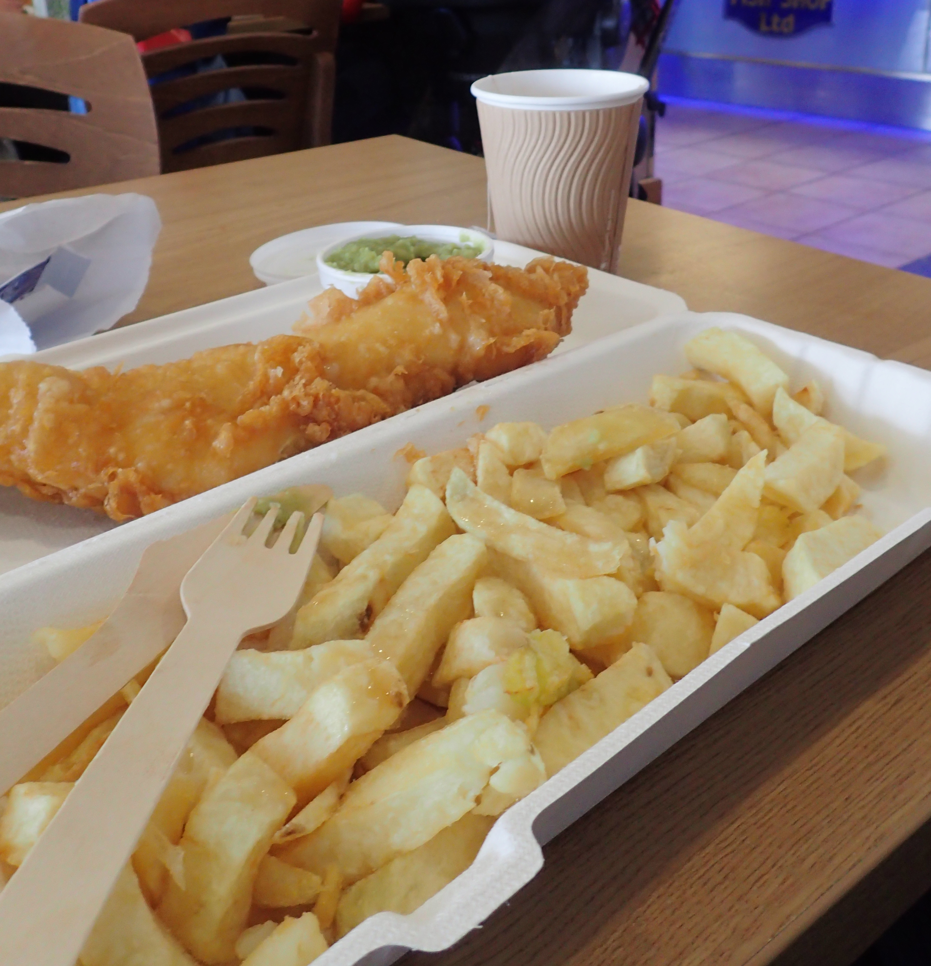
Fish and Chips with Mushy Peas enjoyed at Wells-next-the-Sea
While I carried food for most meals over the Peddars Way part of this walk, I had known beforehand that opportunities to eat locally were going to be much improved on the second half of my walk.
Whereas I carried eight meals for the inland section, I only had two for the coastal section. All other were purchased locally. Though perhaps surprisingly, I only ate fish and chips the one time, When I reached busy Wells-next-the-Sea.

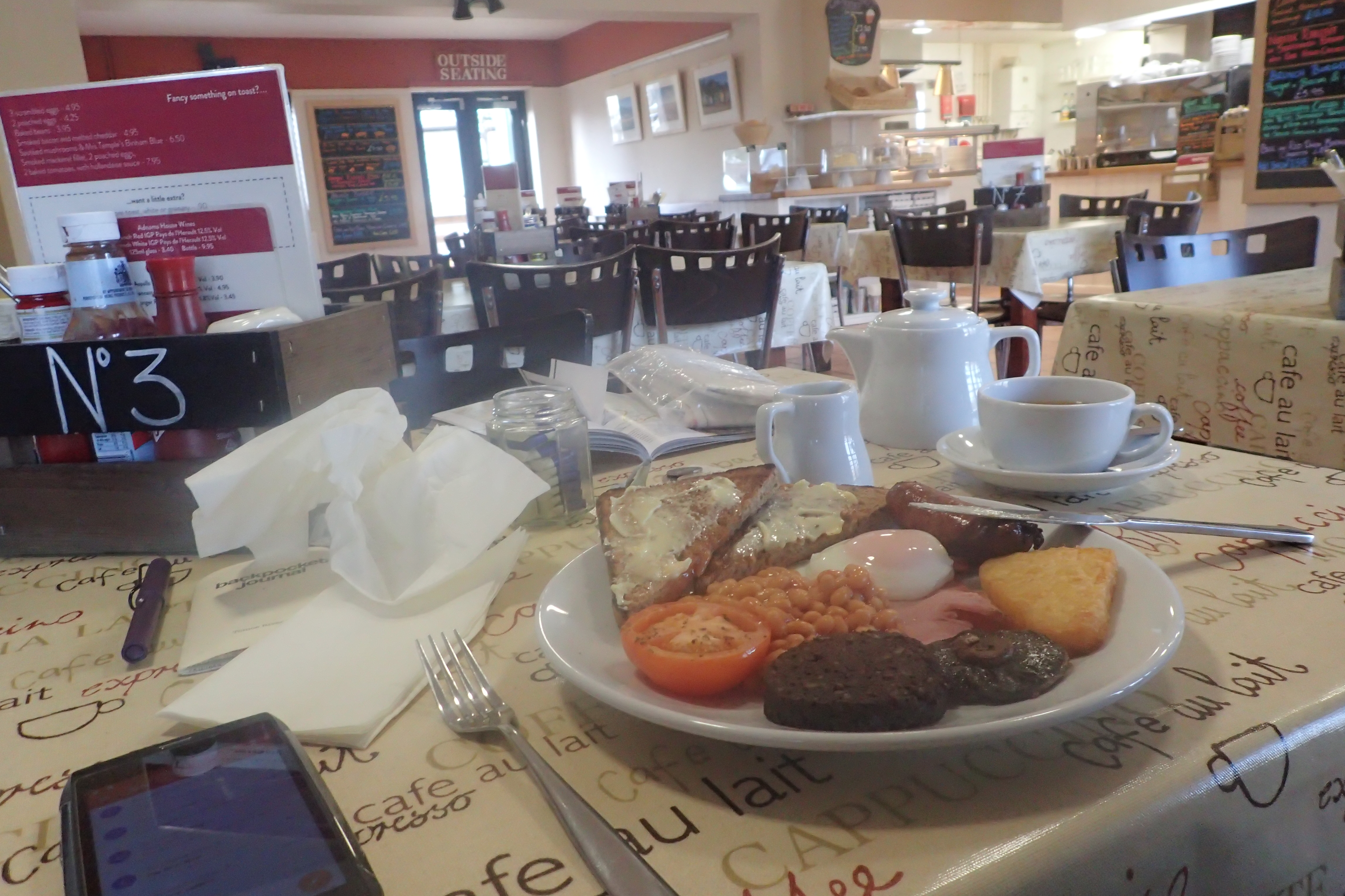
Breakfast at the Deepdale Cafe included award winning Arthur Howell sausages and Fruit Pig Black Pudding
My two campsites on the coast were both perfectly adequate. Deepdale was a small field and I camped next to car campers, but I had no problem with that. There are plenty of opportunities to re-provision here but I only partook of a fine breakfast in the Deepdale Cafe.
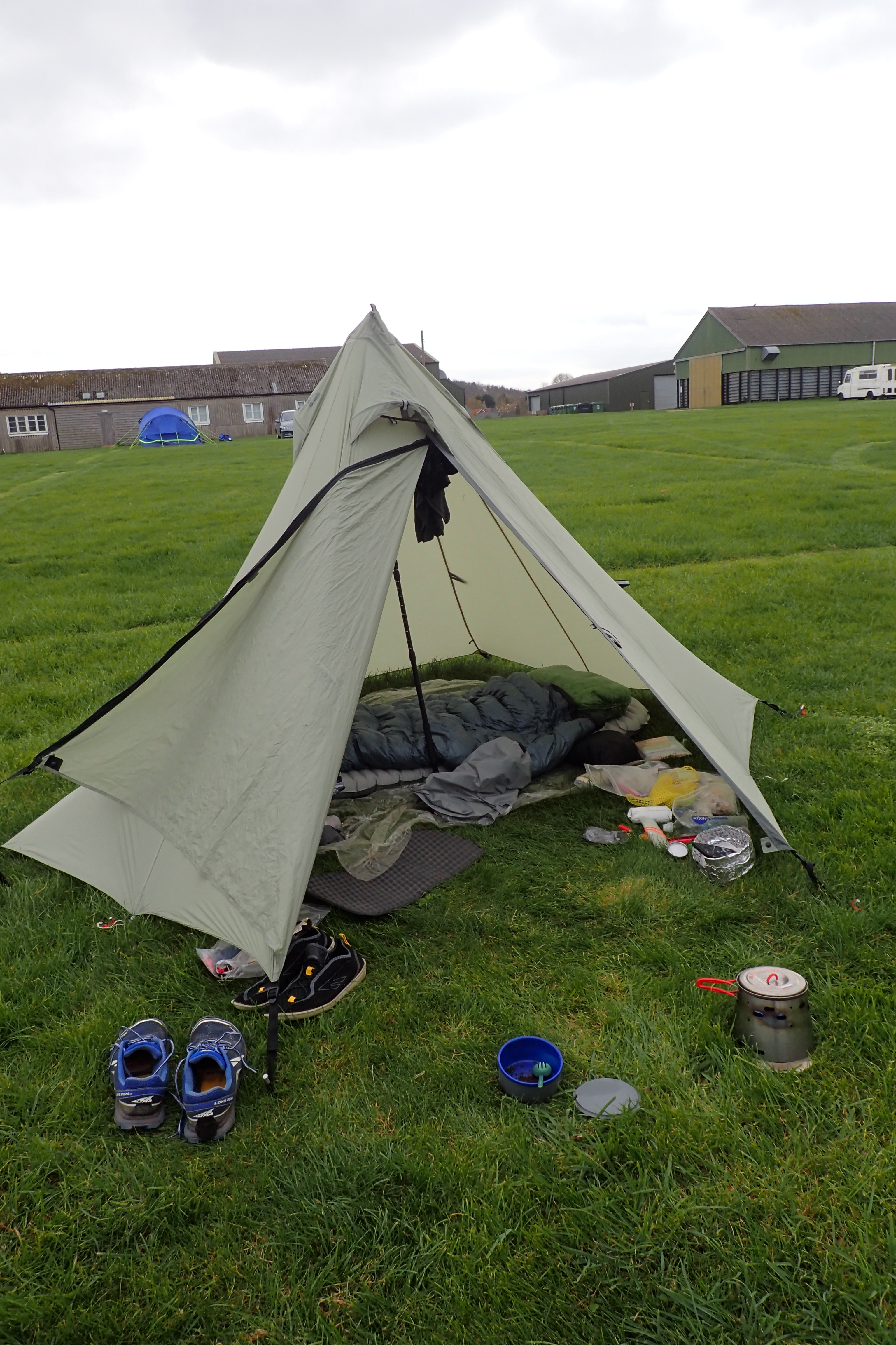
£10 got me a field to myself at High Sand campsite and hot showers in the modern toilet block
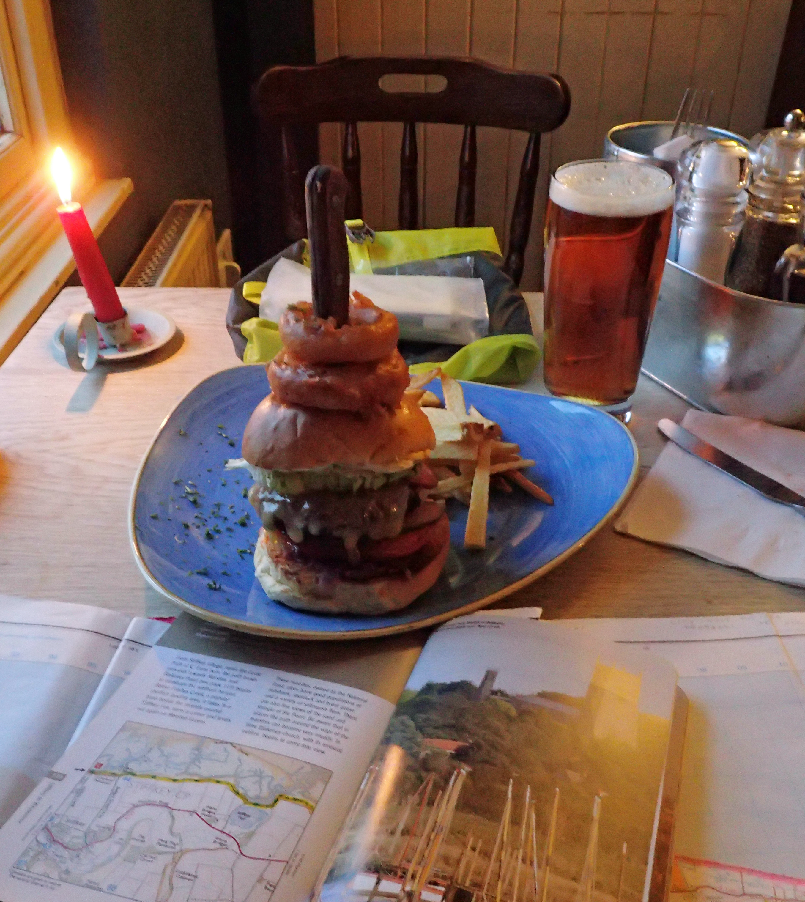
A pint, good quality burger and writing up the day’s notes in the Red Lion, Stiffkey
Camping the following night at the High Sand camp site at Stiffkey saw my tent sitting alone in a huge field. The trail passed only a hundred metres away and I was content to treat myself to good food and ale at the Red Lion Inn in the local village.
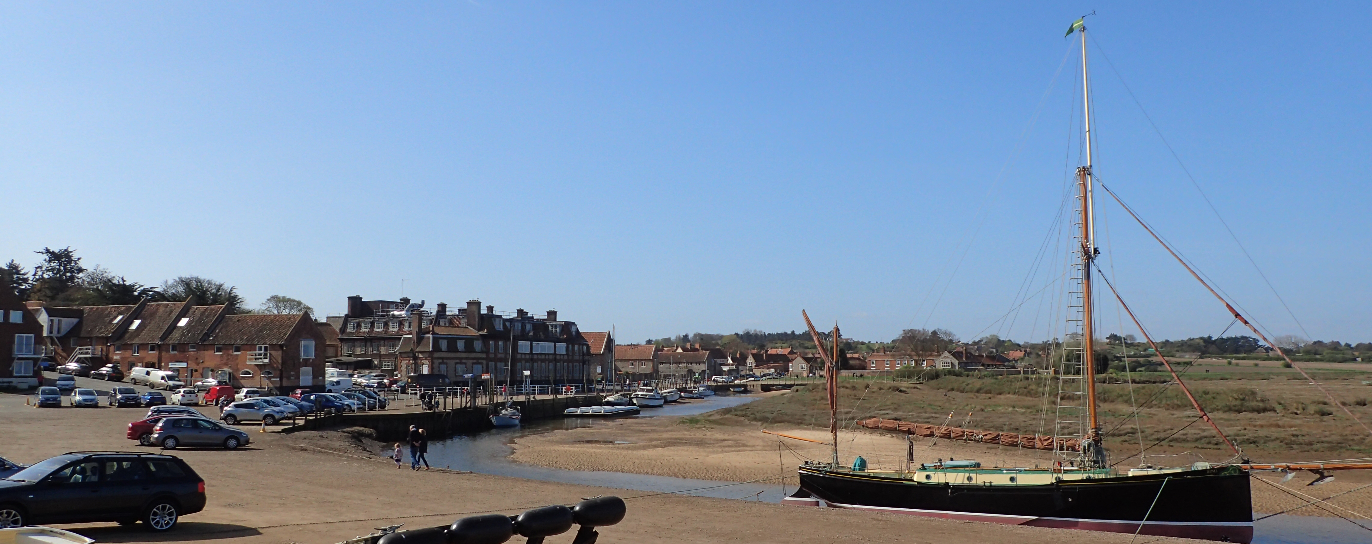
This part of the coast was once the ‘gateway to England’ but silting up of creeks and changes in economics has reduced its importance. Blakeney is fairly typical of many towns along the coast, struggling to retain an identity. Small fishing boats take visitors out on seal watching trips when their owners are not out checking their lobster and crab pots
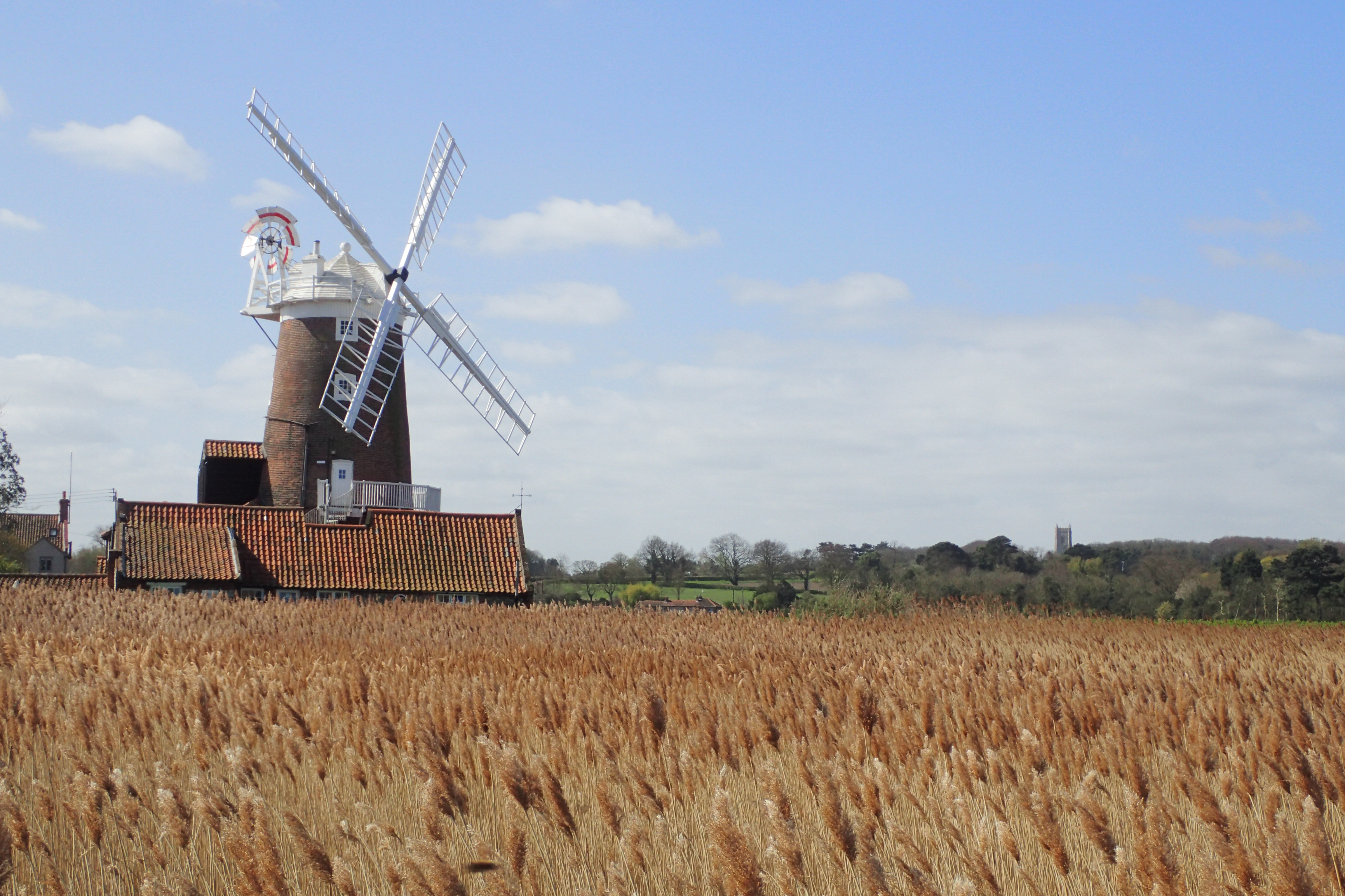
The distinctive windmill at Cley next the Sea can be seen for miles across the marshes. The path goes right past it and I regretted, slightly, not pausing to sketch it. The reeds here did offer up Bearded Tit though
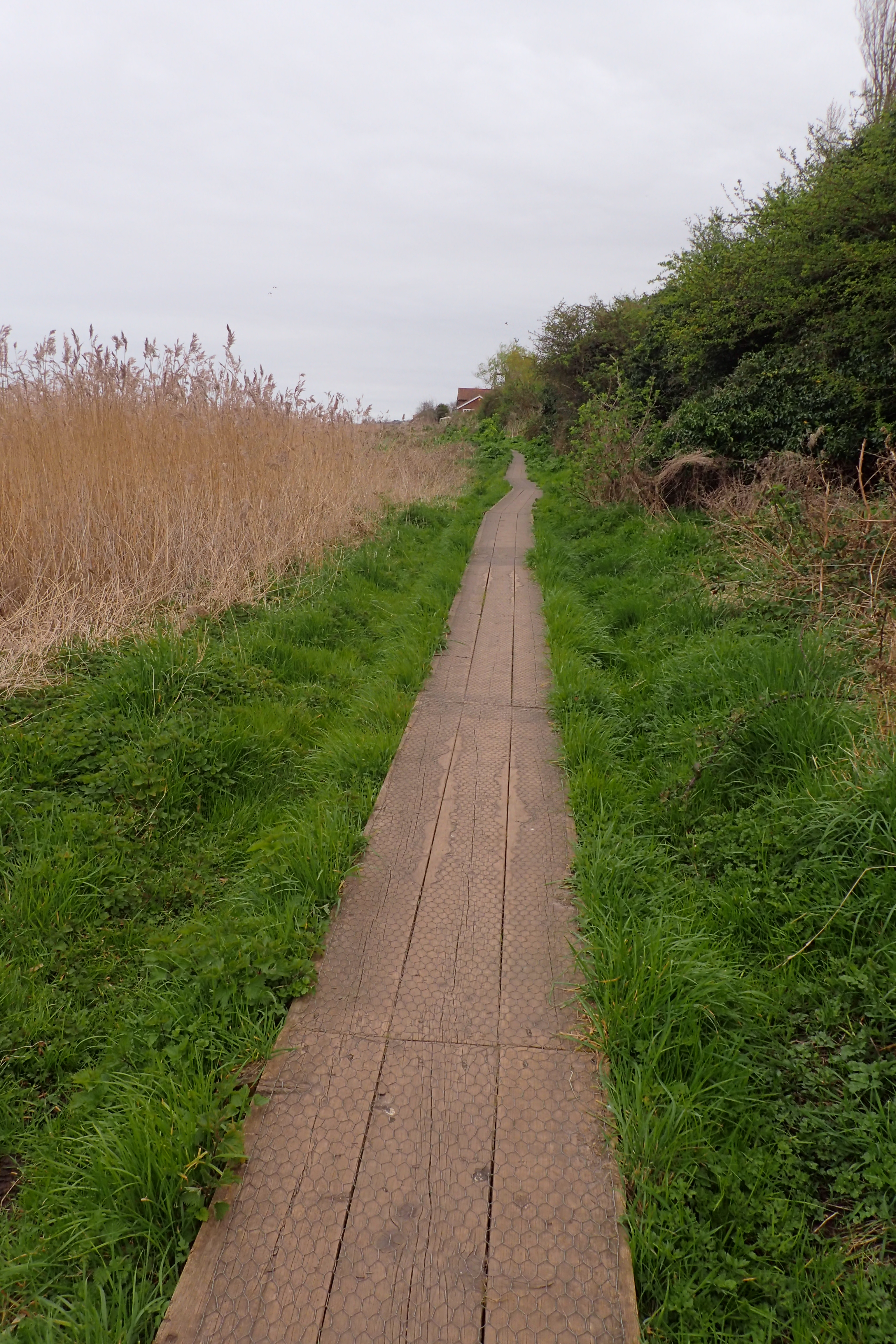
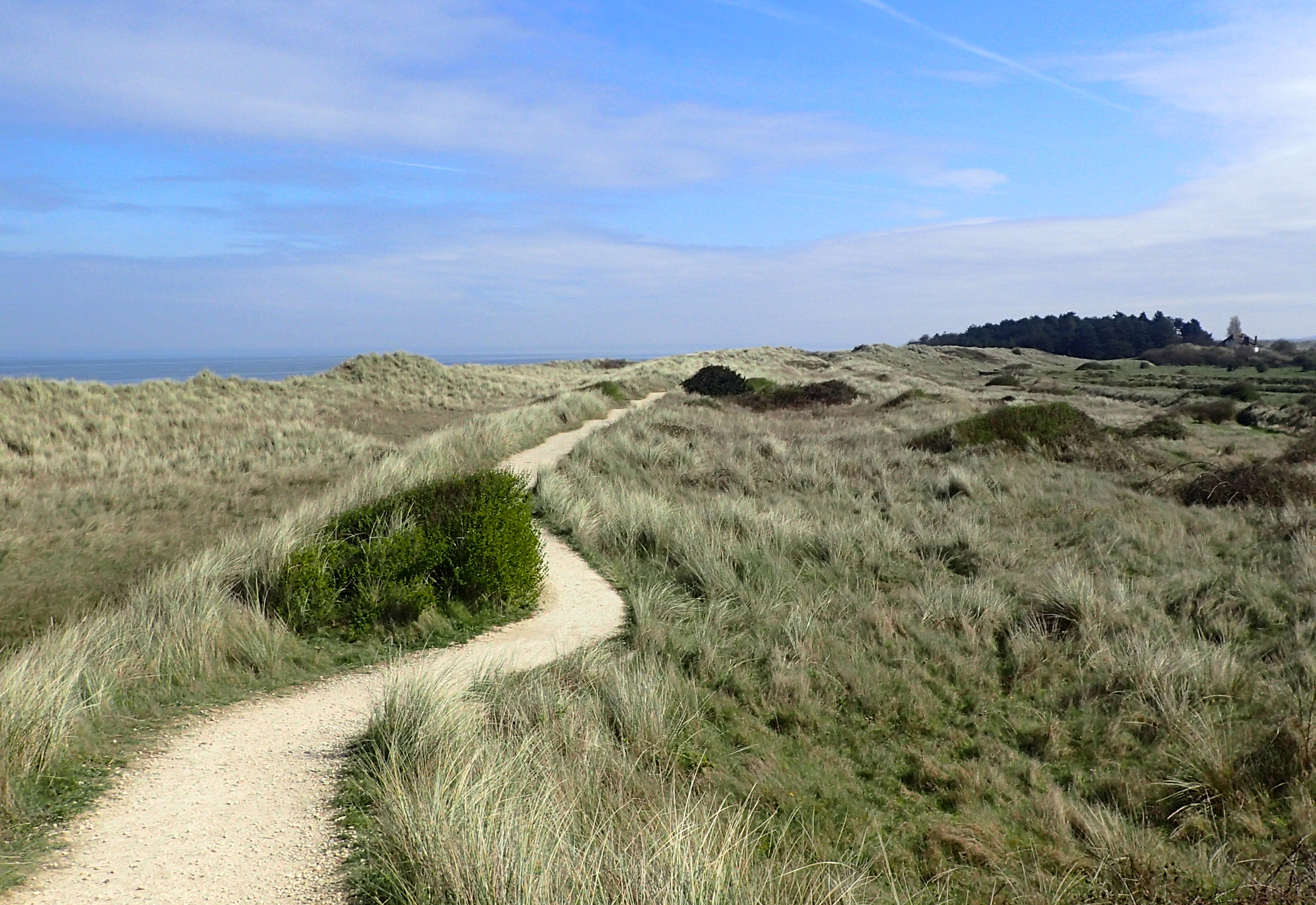
There were a couple of miles of board walks in all
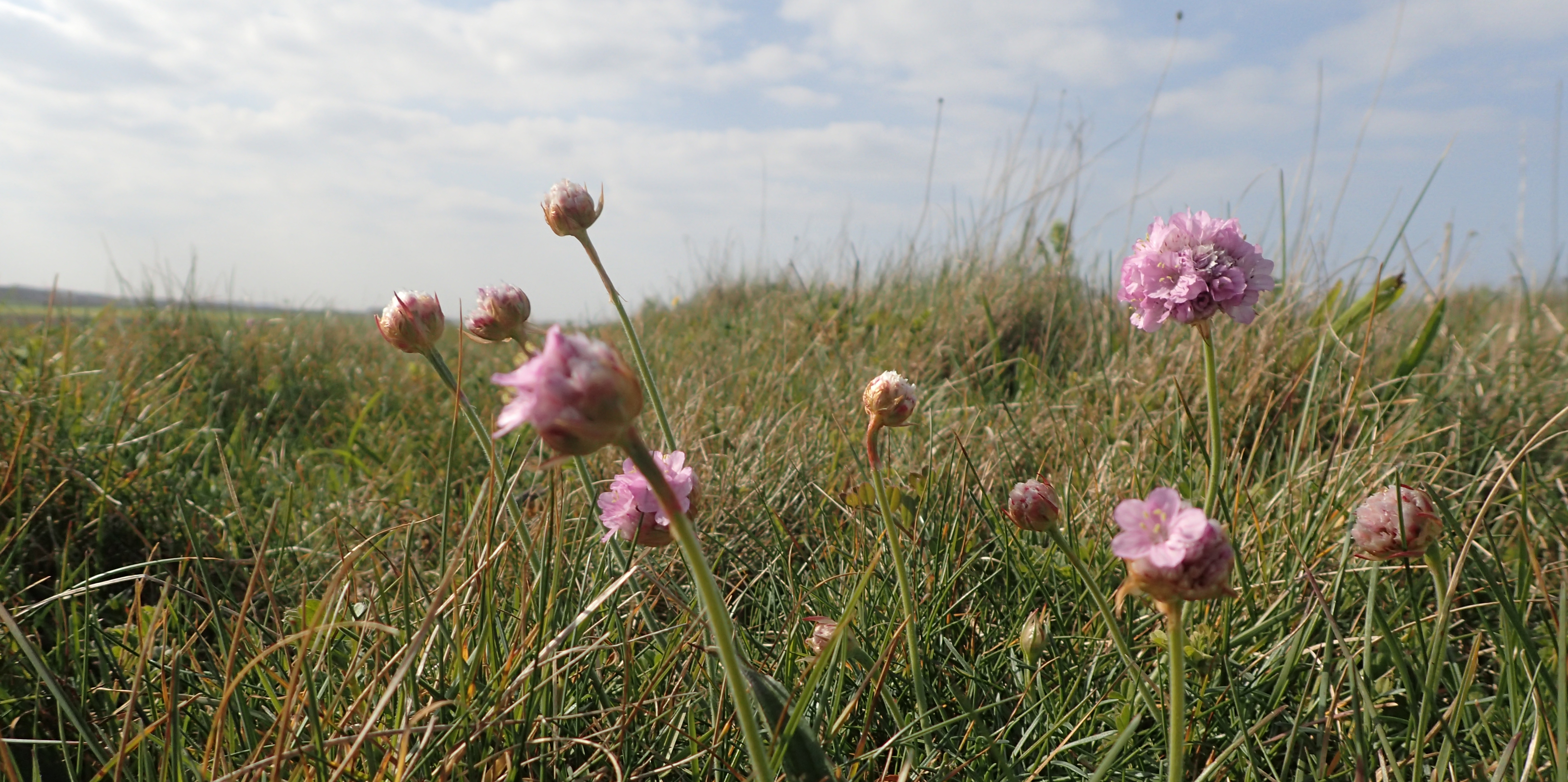
Coastal walking was almost always on good paths, though I should think that many would be pretty claggy after rain. Reedbeds, sea defence walls above marshland, scrubby sand dunes, pine woodlands, saltmarsh, sand and shingle shoreline- my walking was through a number of special and specialised habitats, it was never boring for it changed so much.
Every few miles another coastal town would be encountered, I passed through these quite quickly as there was little to hold me.
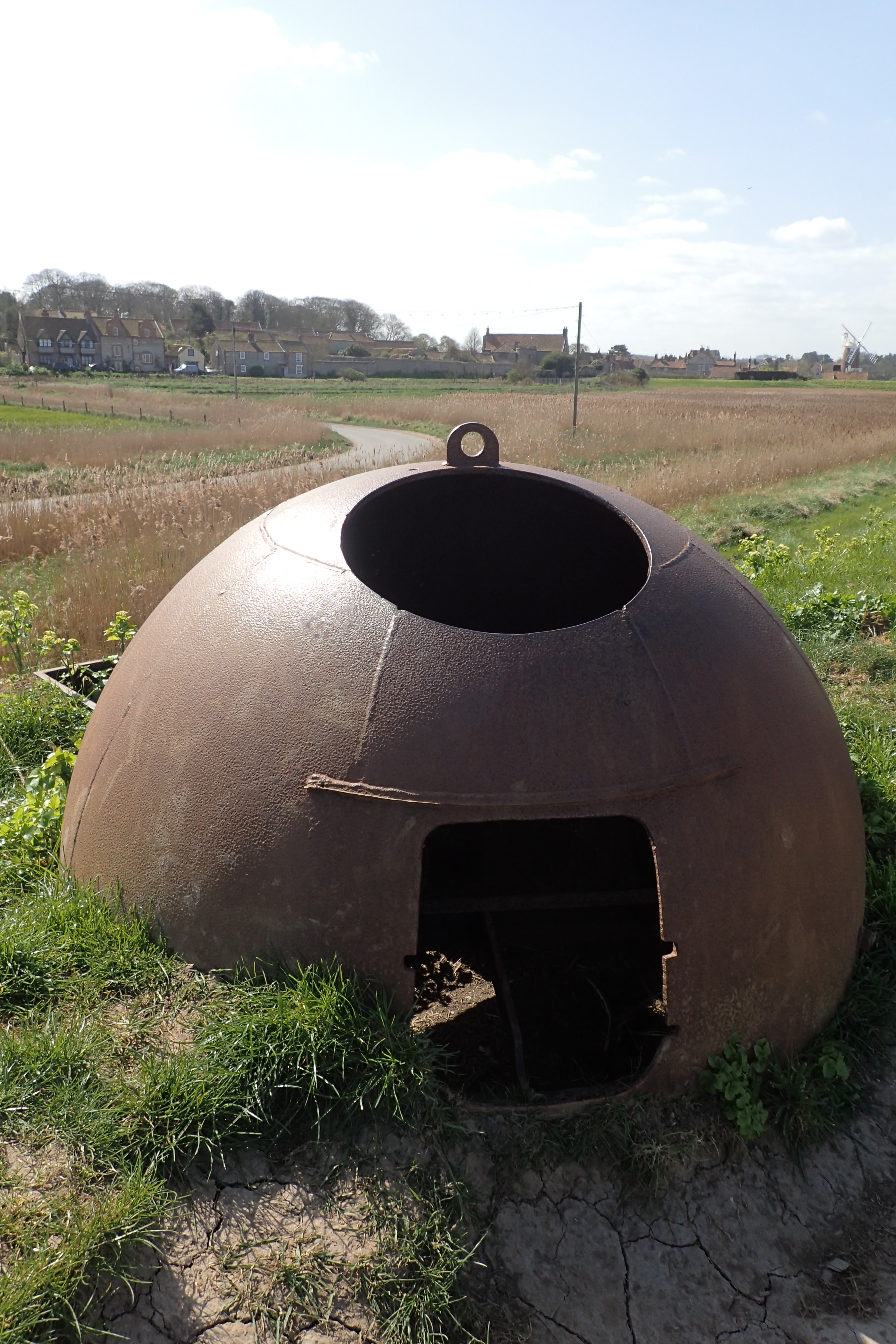
Remains of an Allan Williams gun turret. 199 of these were made during World War II
This part of the coast was thought to be at risk of attack and invasion during World War II. Coastal defence installations survive to this day
The coastline stretch from Cley next the Sea to Weybourne Hope is four miles of lonely splendour. The few dog walkers at the beginning were soon left behind. Sand gave way to shingle and I found myself racing the incoming tide, only having to move up on to the punishing stone for the final quarter of a mile
For such a busy stretch of coast, I often found myself alone. Few people will walk more than two miles from their car and it is usually just the odd birdwatcher or sea angler that would be seen any further afield, again, there seemed to be few people walking purposely, and those I saw with small backpacks were either day walkers or slackpackers.
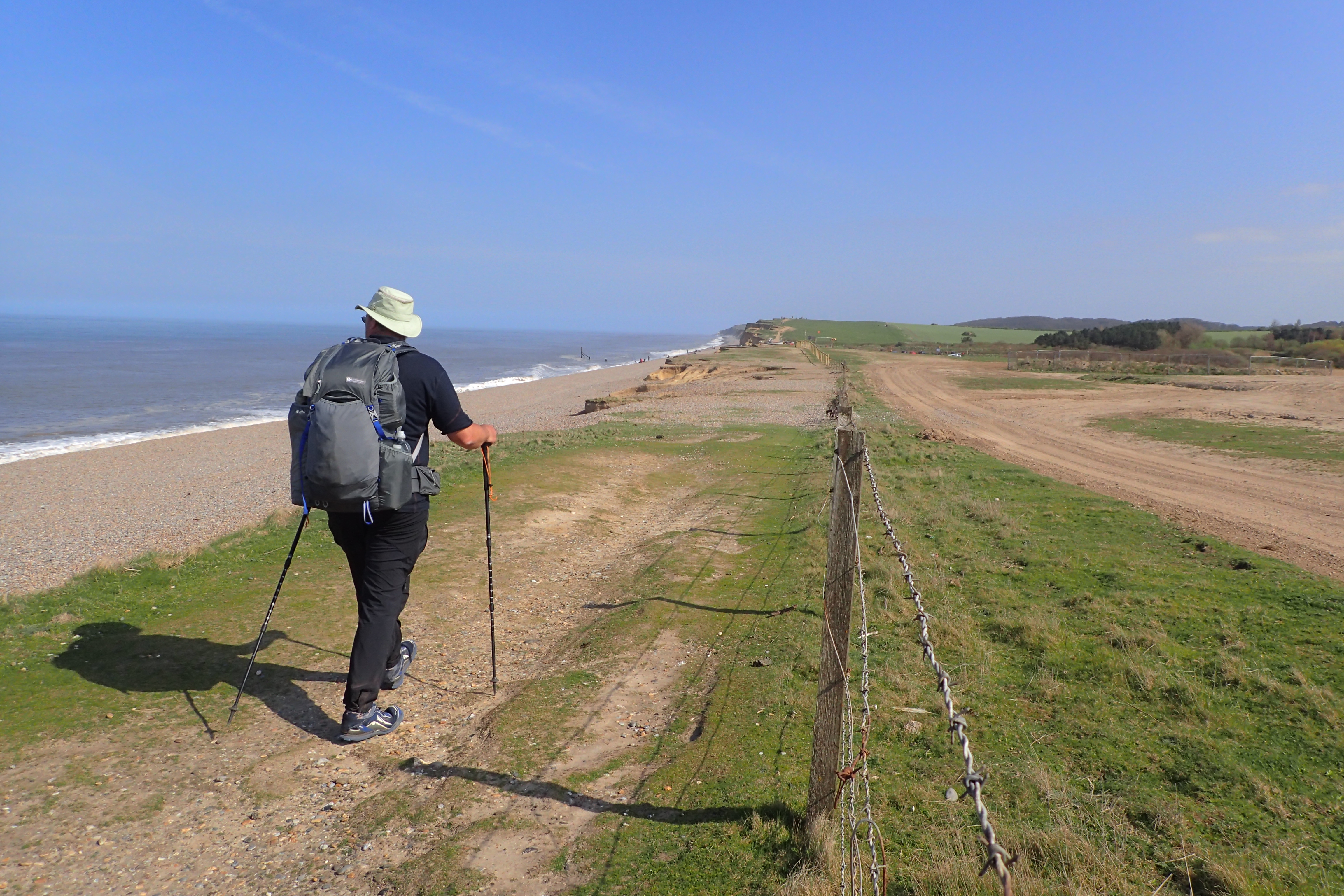
Beyond Weybourne Hope the path slowly begins to climb as cliffs take over. This penultimate day saw me completing my biggest climb of the whole trail- though the highest point was still only 346 feet (105 metres) above sea level. Norfolk really is a pretty flat county
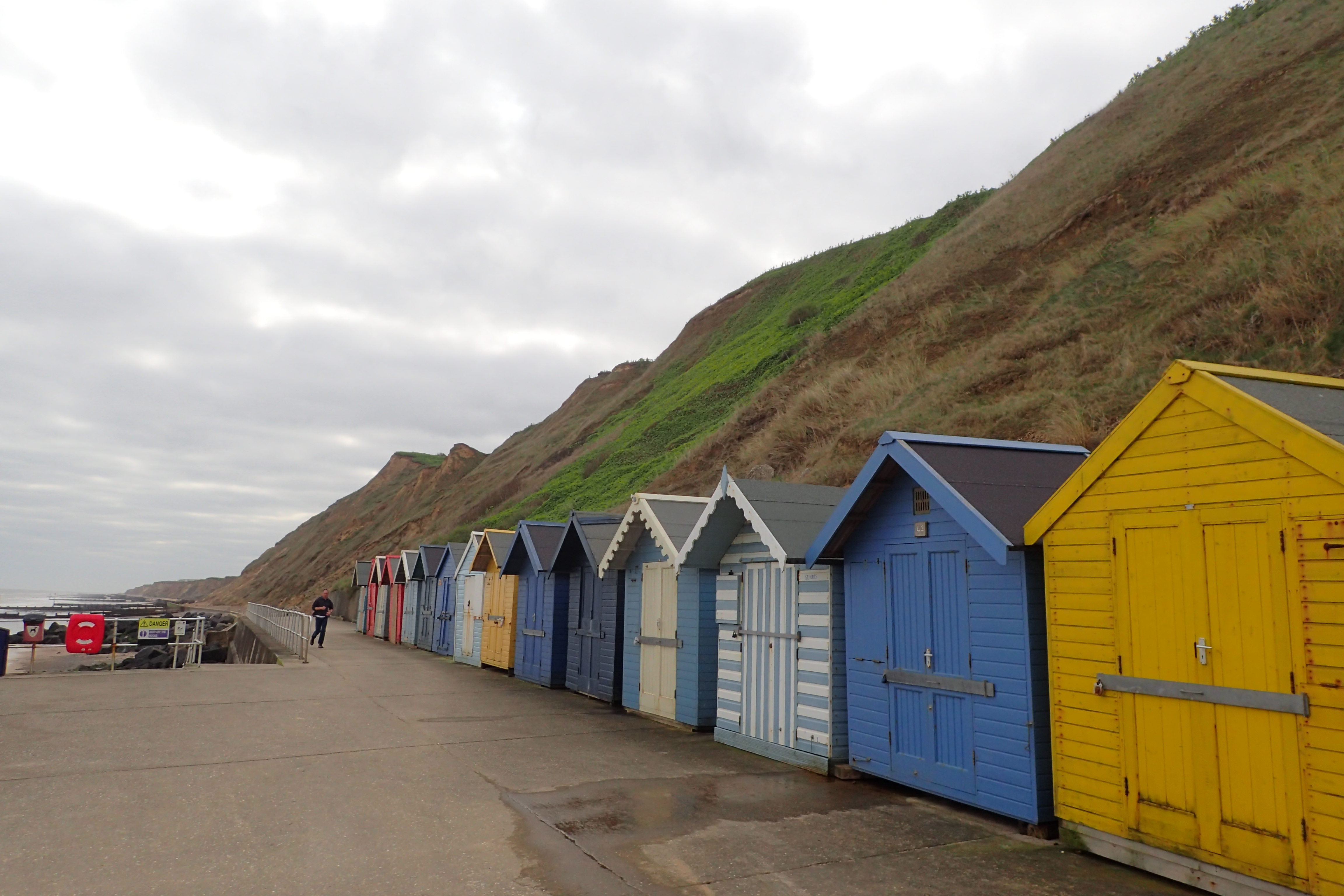
Beach huts below Sheringham Cliffs
My final night was in Sheringham YHA. No private rooms were available so I shared a dorm with two other guys, we battled each other in the snoring stakes that night but I am pretty sure I won.
I like to put my trade toward the YHA where I can as I think they are still doing a grand job, mostly, in a difficult modern circumstance. However I reckon I made a mistake eating an evening meal there. There was no ‘proper’ option on the menu at all, everything was snacks, so I settled for an ‘OK’ pizza. Breakfast was little better, the only egg option was scrambled, and I hesitate to guess how long it was since they had been scrambled! I queried at the counter, the server looked at me with bafflement- “I’m French” was her reply. OK, so no eggs forthcoming then.
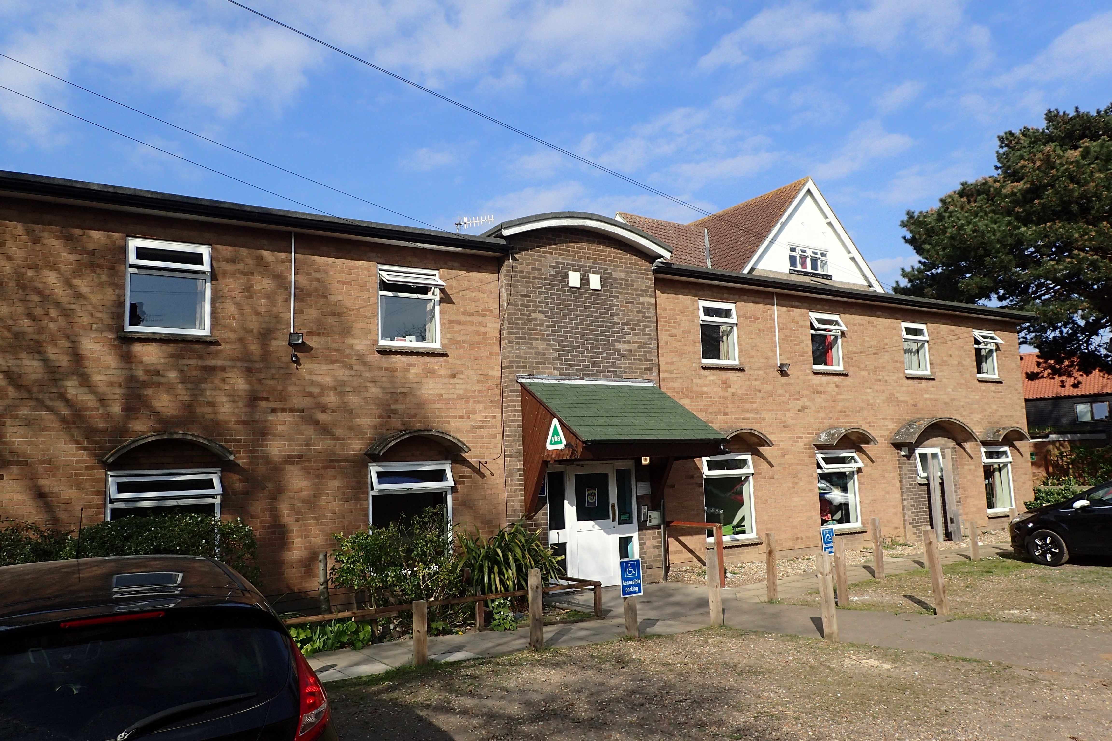
My £12 overnight stay at Sheringham Youth Hostel was an adequate stop for my last night on the trail
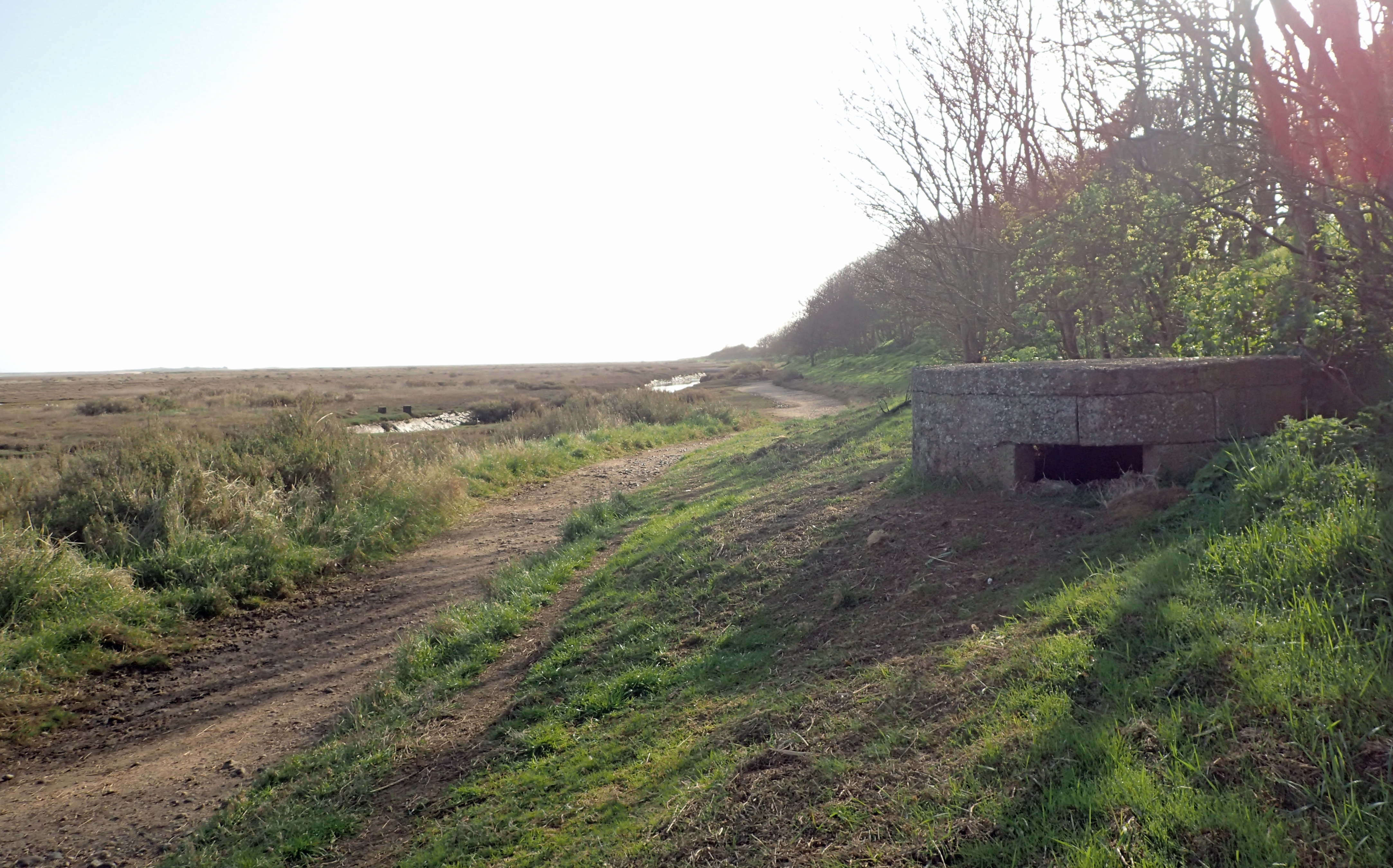
Signposting and marking of trail was excellent on the Norfolk Coast Path. You might think how difficult can it be to simply keep the sea on your left, but the trail often diverts inland where access rights have not been obtained, or where erosion has caused the path to disappear into the sea
The National Trail ends at Cromer Pier. Much of this popular resort town is Edwardian in age and flavour. The Norflok Coast Path is now part of the ambitious plans for an English Coast Path, still in the making
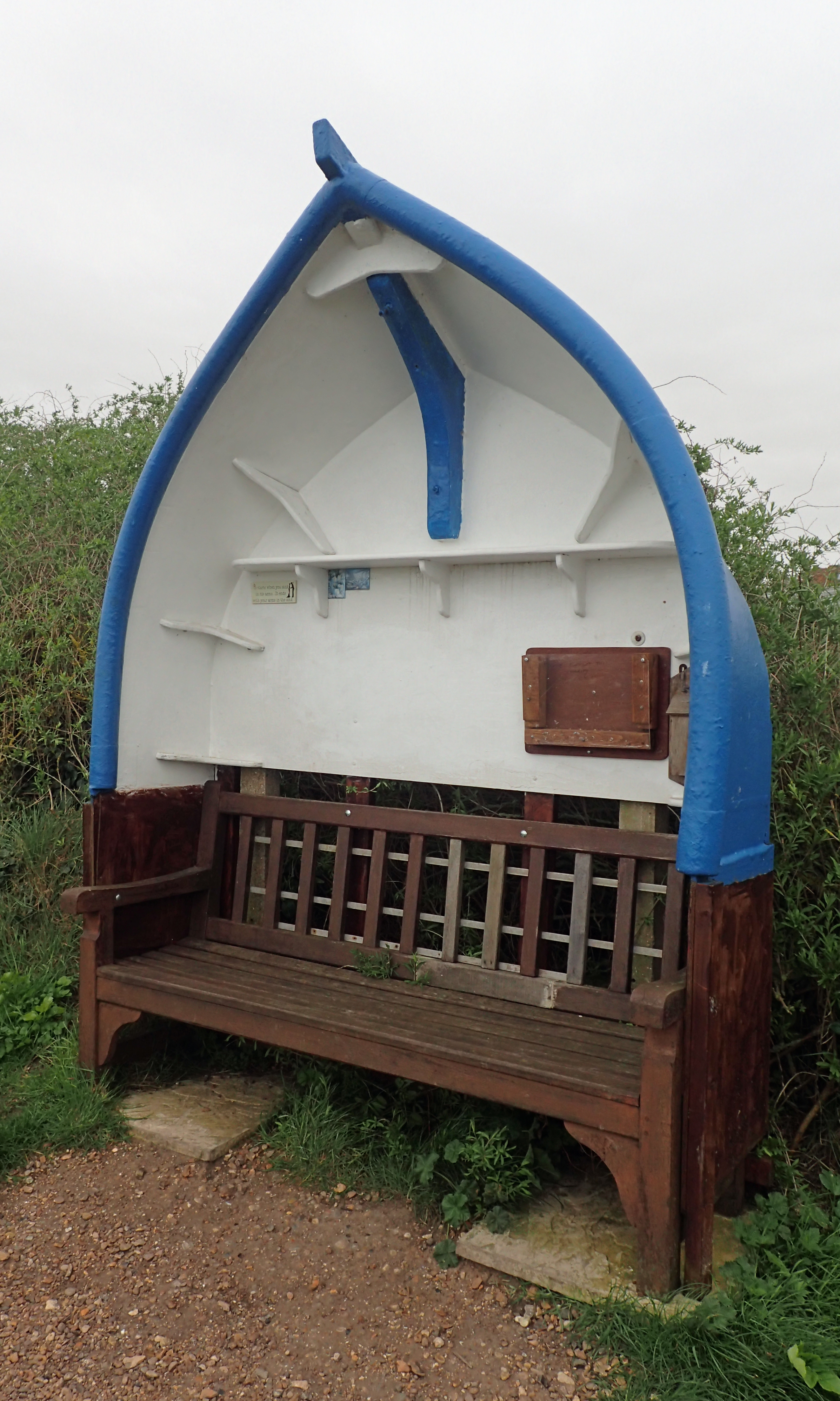
Reminders of a seafaring community can be found everywhere
I was so pleased to have completed both halves of the Peddars Way and Norfolk Coast Path. While the walk through the interior of the county had been interesting, with a few points of interest, the coastal element was much more to my liking. Busy seaside towns nestled up against lonely saltmarsh and dune systems stretched for miles across a wide landscape.
The call of the nesting Curlew and Lapwing that I had gone to sleep to in the agricultural heartland was also encountered on the coast, to be joined with the burbling of hundreds of Brent geese and the frantic shriek of the ‘Sentinel of the Marshes’, the Redshank.
Dunlin, Sandpipers, Oystercatcher and Turnstone shuffled along the edge of the surf, only flying ahead when I got too close. It really was lovely coastal walking and I resented it when lack of Rights of Way took me on pointless and annoying diversions inland. I doubt that I shall return to this part of the country for quite some time but hope that the fragile eco-systems can withstand what appears to be growing numbers of visitors.

Three Points of the Compass does not always blog on the trails walked. Links to those that have been covered can be found here.

1 reply »