
The Wealdway is an 80+ mile/134+ km path across the south east of England, from Eastbourne on the South Coast, to the River Thames at Gravesend. Traversing the Weald, walking northwards from East Sussex into Kent, the route crosses both the South Downs and North Downs.
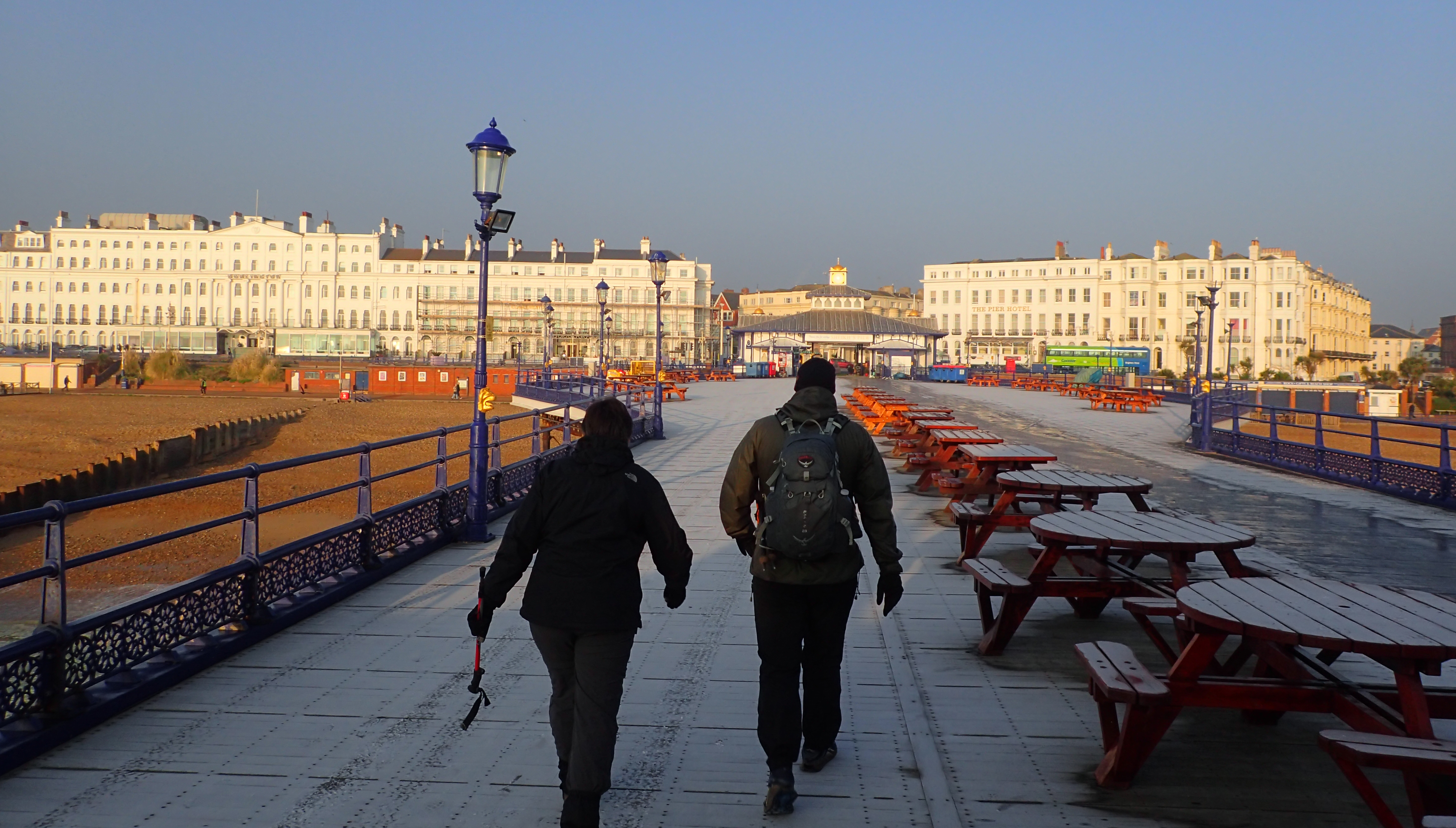
Mr and Mrs Three Points of the Compass set off on a cold winters morning from Eastbourne Pier for our first day on the Wealdway
Each year, Three Points of the Compass works through one of the long distance paths in ‘my’ south-eastern corner of England where I live. These are usually completed as a series of occasional day hikes. For the Wealdway, Mrs Three Points of the Compass joined me. We actually commenced this in 2017, intending to complete it by 2018. But with one thing and another, various commitments, not least my completing a five month 2000 mile hike last year, it was not until early 2019 that we managed to find time to knock off our final day on this trail.
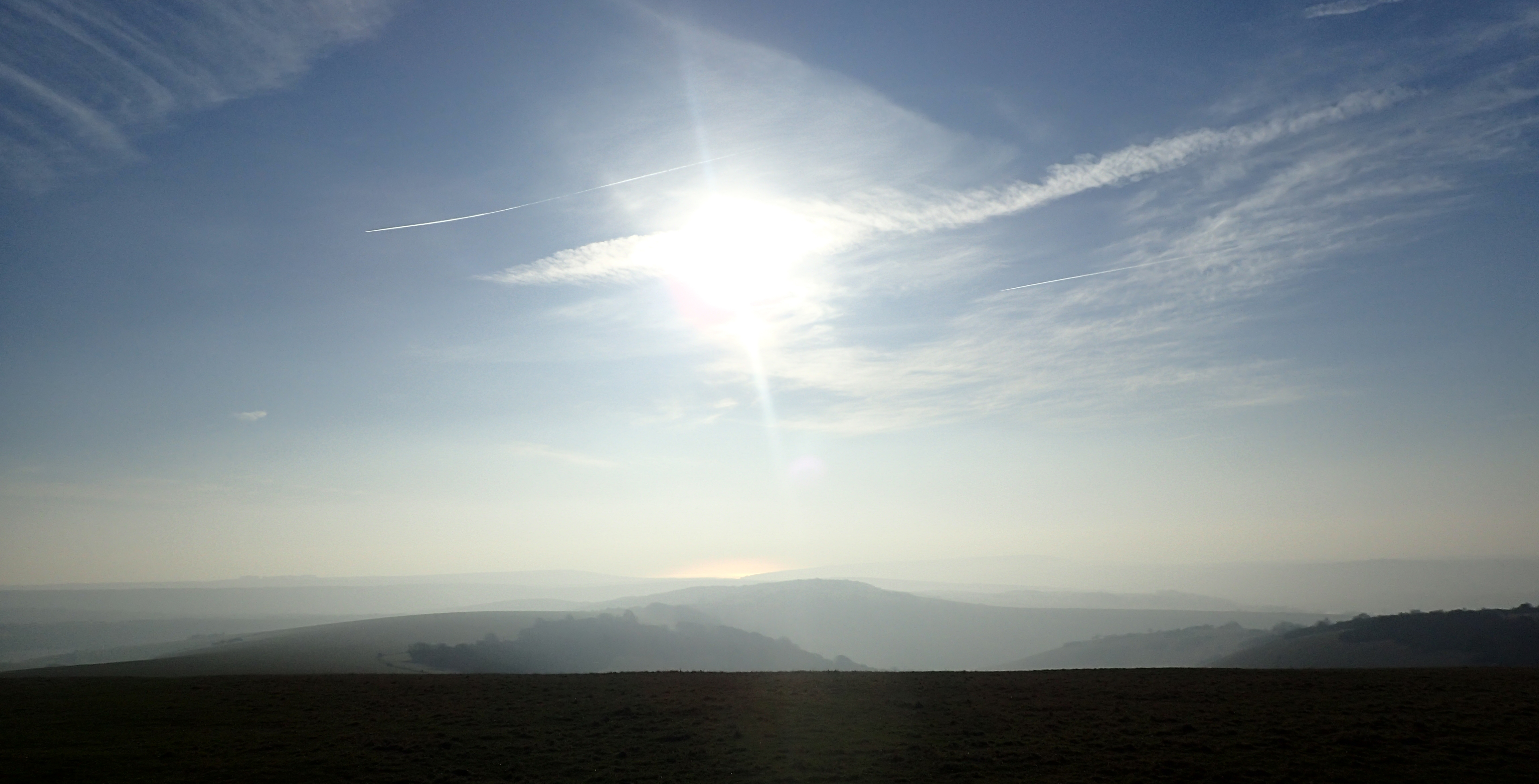
Looking south from atop the South Downs, the English Channel can just be seen on a misty cold morning
This is not a difficult walk. Climbs may be moderate, but it it is a very enjoyable traipse though a changing countryside. The wide open chalk escarpments of the South Downs and North Downs stand above low lying farmlands. Pasture mingles with woodlands, tiny streams and almost forgotten villages are encountered every day.
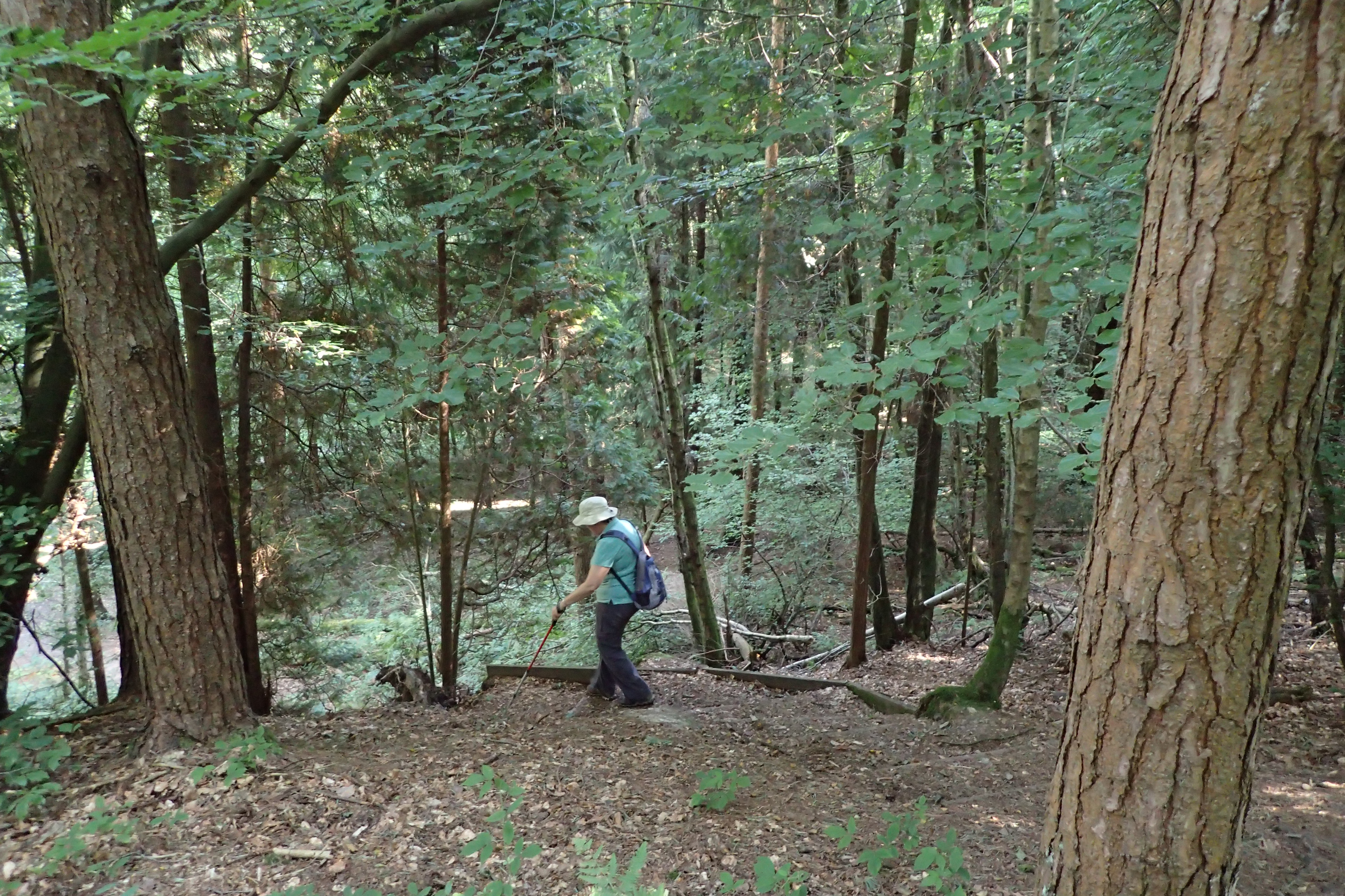
Mrs Three Points of the Compass makes a short descent through a small mixed woodland to cross one of the many streams encountered on the Wealdway. The proliferation of both water and wood meant that it was this region that supported the first iron workings in the country
In the middle section of the path, the way climbs, crosses and drops from the High Weald at Ashdown Forest. This bulging geological anomaly is beautiful walking, the term ‘forest’ is slightly misleading, it being more sandy heathlands and gorse, with stands of pines.
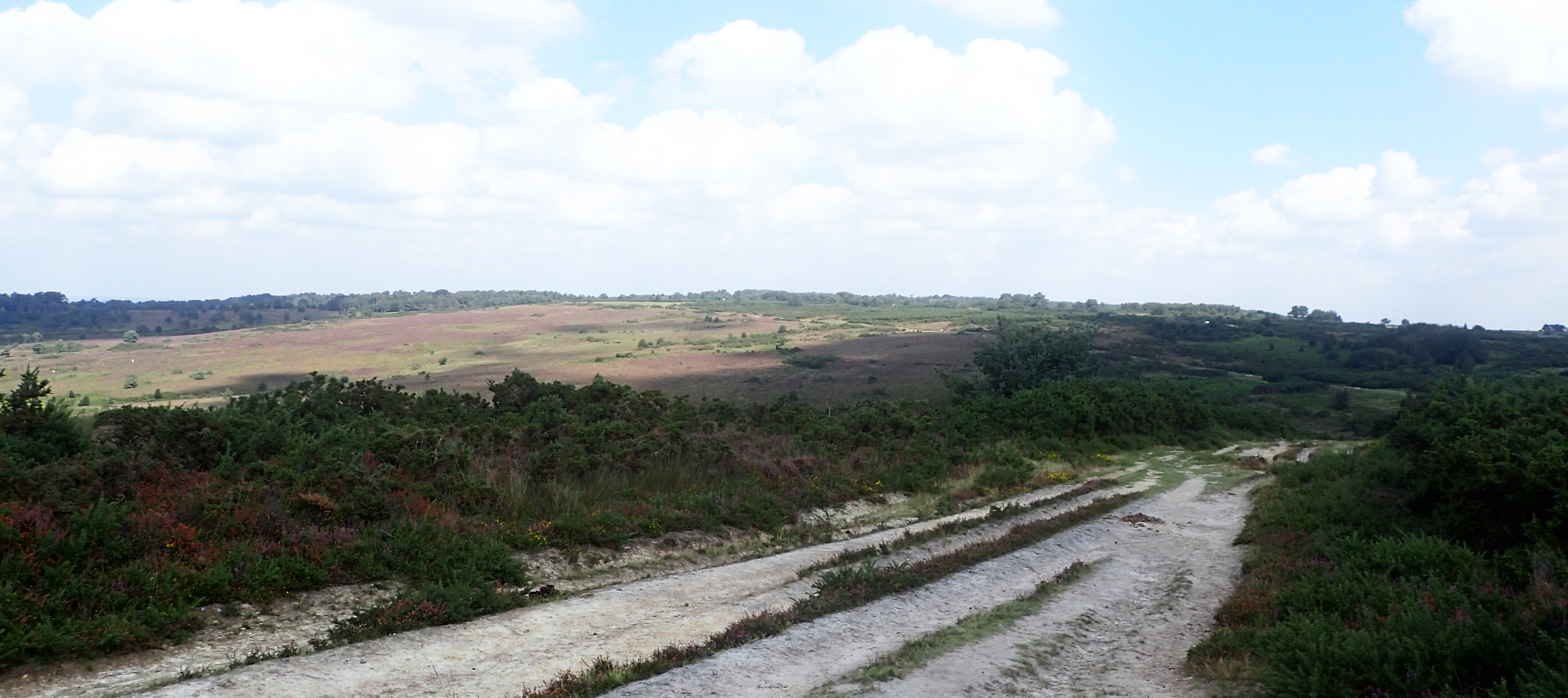
The High Weald at Ashdown Forest makes for an easy and pleasant days walking
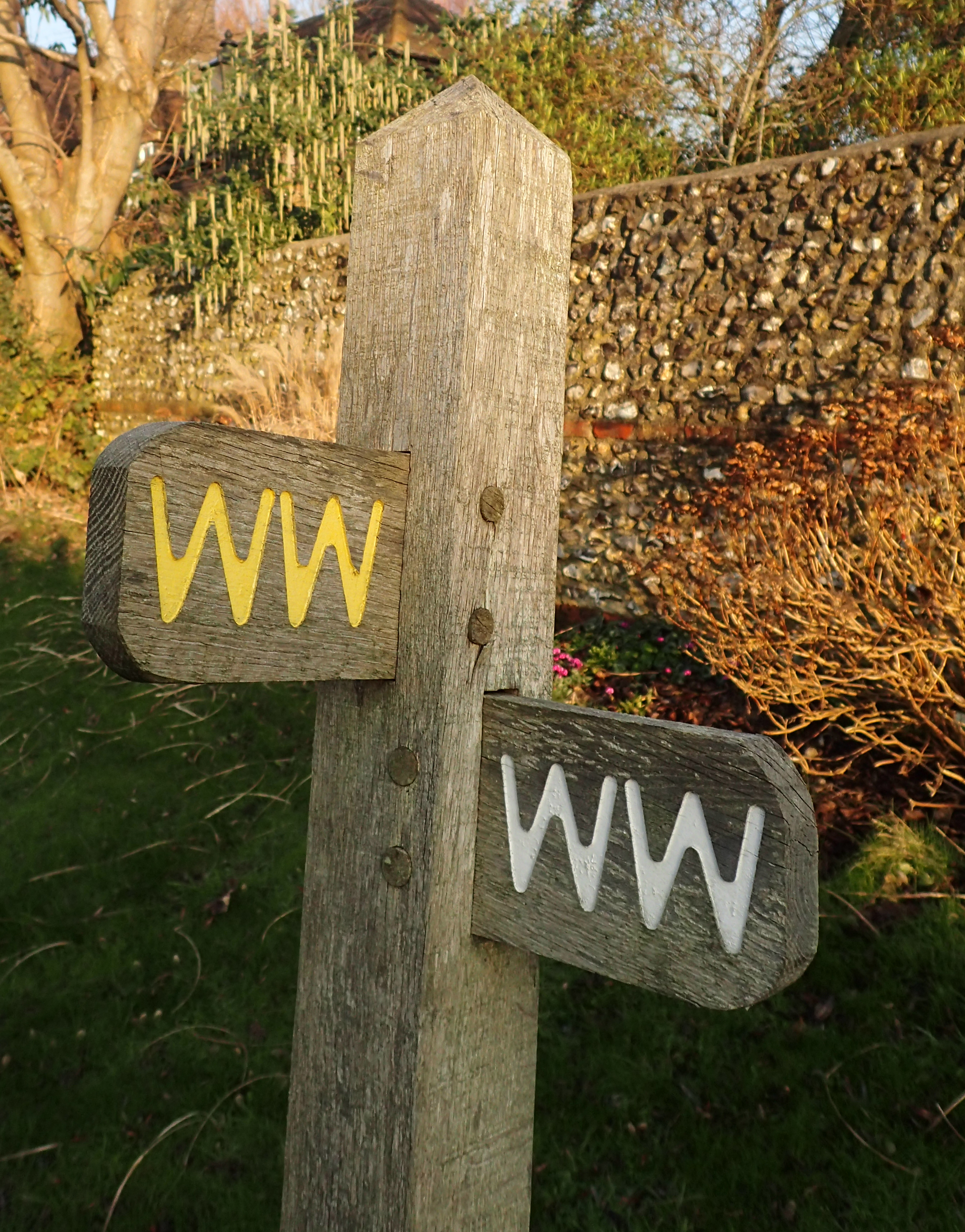
Some 99% of the Wealdway has excellent signposting
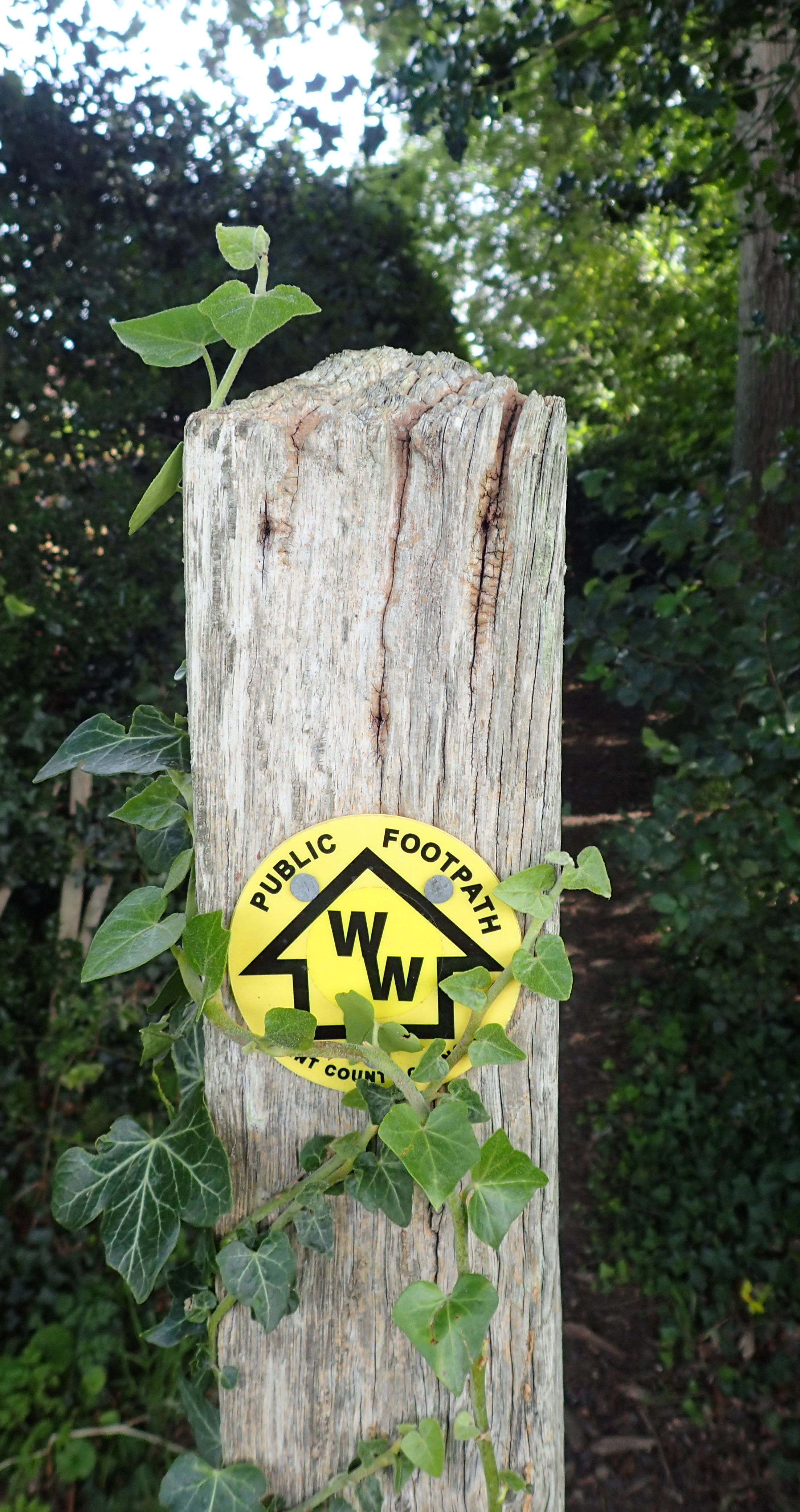
Sussex and Kent County Councils differ in their preferred signs but they are equally as effective
There is not much written about the Wealdway. I am not sure why as it certainly rates amongst other longer trails in Kent and Sussex though just a couple of other bloggers have written about it. There are GPX files but as it is marked on O.S. maps and I prefer hard copy maps, I carried the relevant O.S. Explorer map for each days hiking. The whole route is covered by O.S. Explorer 123, 135, 147, 136, 148 and 163. I preferred the larger scale 1:25 000 Explorer maps to the 1:50 000 Landranger maps as it is helpful at times to see which side of a hedge, ditch or stream that the path was following.
I carried a compass but probably used it on no more than two or three occasions. I carried the most recently written guide with me on occasion, but more for lunchtime or train reading en route than anything else. A guide to the Wealdway by John H N Mason was published in 1984 and there are a handful of changes to the route shown in his guide. Despite this, the researched notes make for interesting reading and if you can find a second hand copy, it is useful if you intend to enjoy this route. The most recent printed guide is Along and Around the Wealdway. This guide was researched and authored by Helen Livingstone and was published jointly by the East Sussex County Council and Kent County Council in 1999. It is attractively produced with lovely photographs and paintings. However its design is hopeless, the size and shape are not conducive to stuffing into a pack and it has a ‘pull-out’ centre Walk Guide.
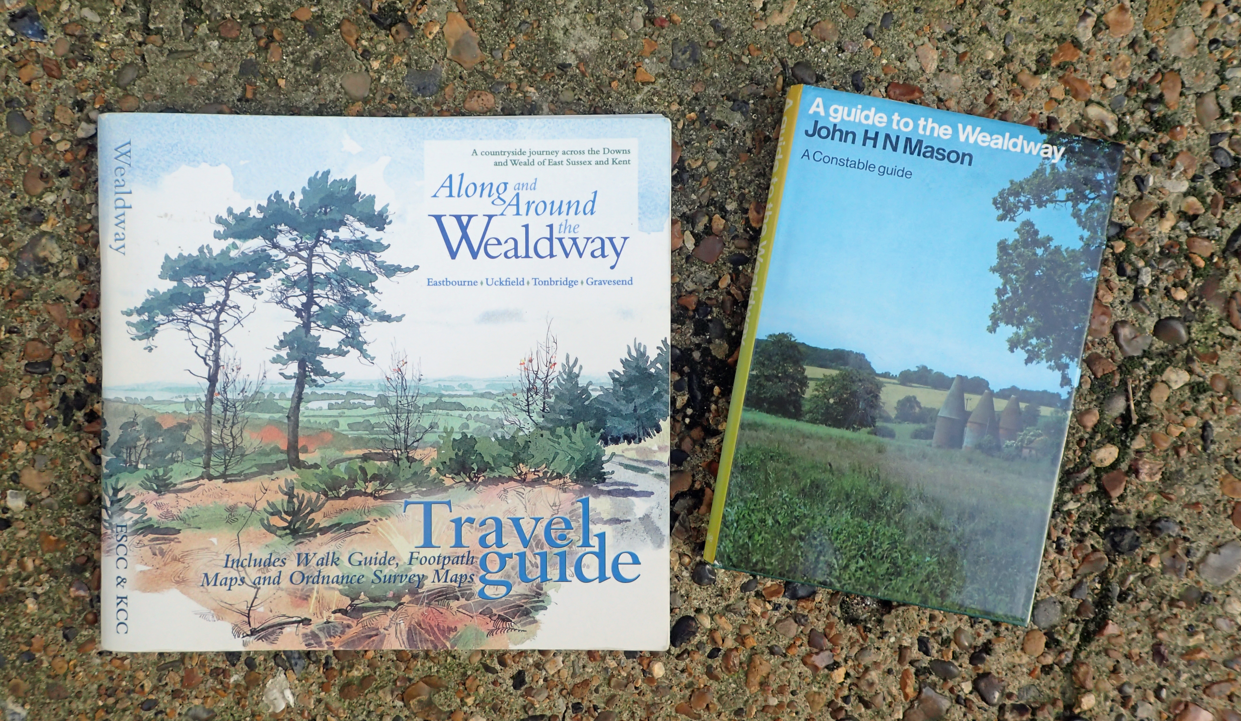
There are only two guides of any note that cover the Wealdway, both are now pretty old and out of date in parts. However they both provide a wealth of background information on the sites to be seen, the geography and history of the diverse route are well covered
I never camped on this trail, or stayed overnight. When hiking, we travelled each day to and from railway stations that were never more than a mile or so off route. That said, while various guides give the total distance of the Wealdway as between 80 and 83 miles, these station link miles do add up and we covered 97 miles in total over the six day hikes it took to complete the trail..
| Eastbourne (pier) to Berwick railway station | 14.5 miles |
| Berwick railway station to Uckfield railway station | 20.5 miles |
| Uckfield railway station to Ashurst railway station | 16.0 miles |
| Ashurst railway station to Tonbridge railway station | 12.5 miles |
| Tonbridge Railway station to Borough Green railway station | 16.0 miles |
| Borough Green railway station to Gravesend Pier (end) then station | 17.5 miles |
| Total distance covered on Wealdway including station links | 97 miles |
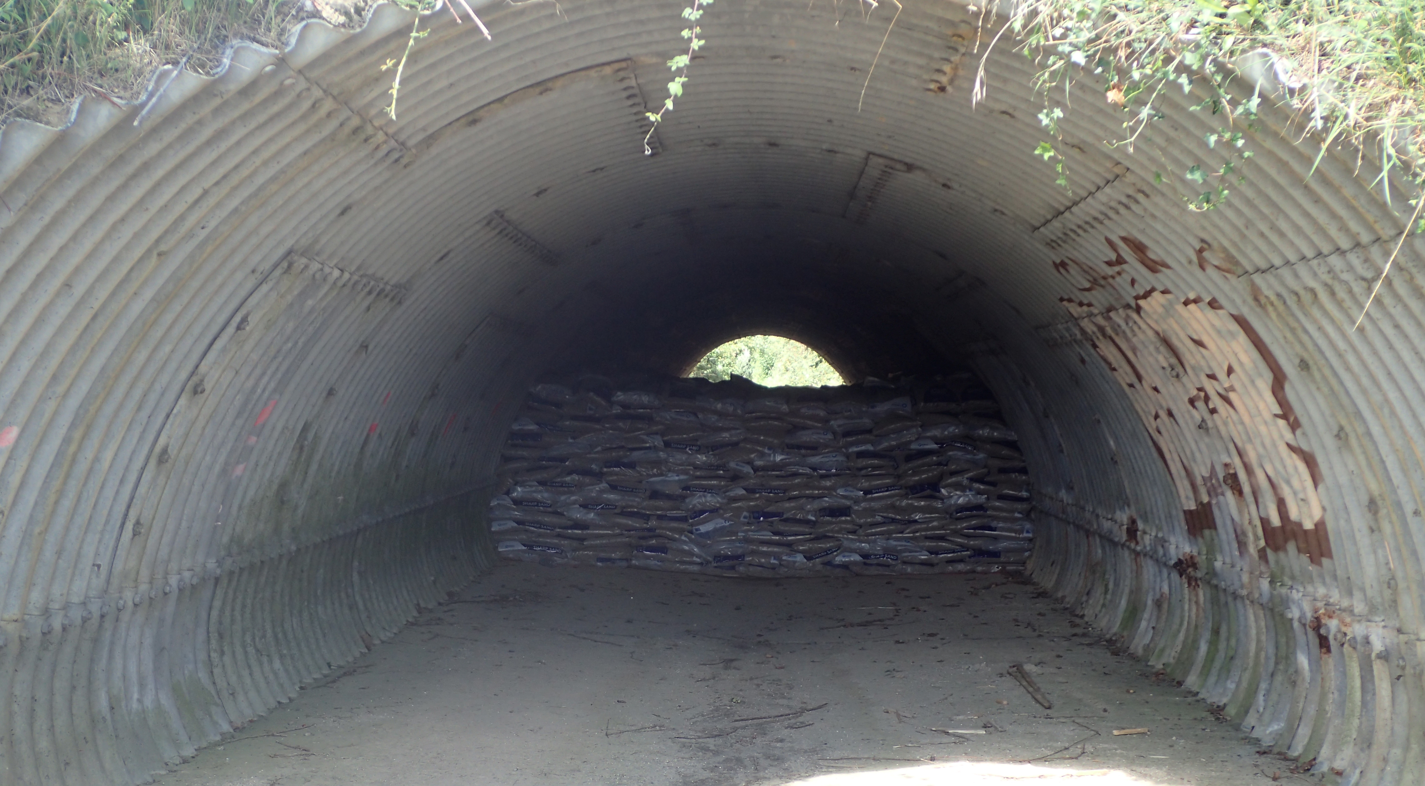
Only a couple of diversions were encountered. Here, a blocked tunnel below a main road meant that 1.5 miles were added to the days total when hiking between Ashurst and Tonbridge. Though I don’t reckon the tunnel was collapsing, the reason given
Three Points of the Compass does like to explore a church or two en route, or at least take advantage of a seat in the churchyard for a lunchtime halt. Beside pottering around fonts and pews, admiring stained glass and tombs, a peek inside the interior would frequently encounter the makings of a cup of tea with biscuits provided, laid on by parishioners in exchange for a modest donation. Very welcome on hot and colds days alike.
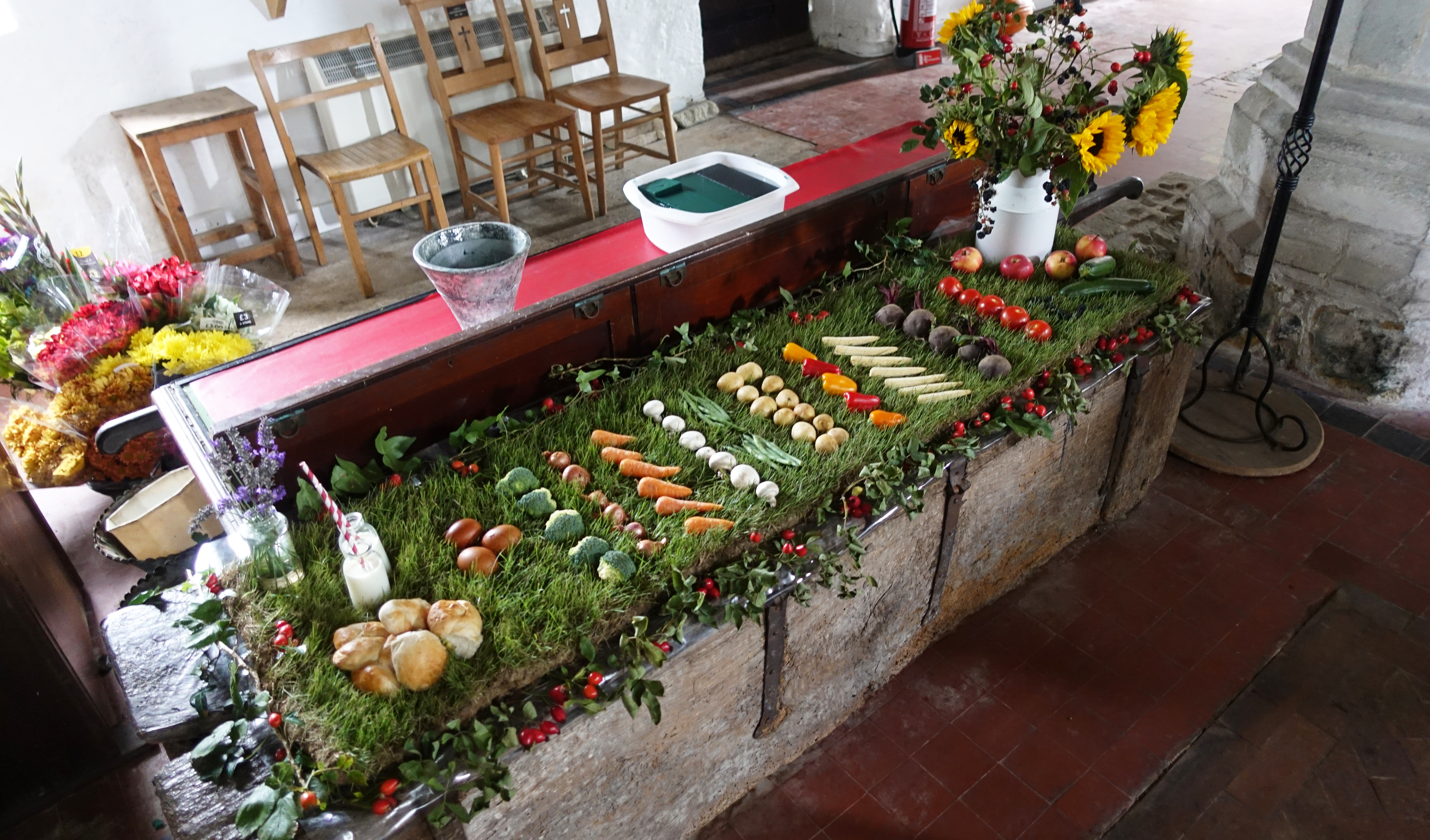
Part of the harvest festival display in St. Pancras Church, Arlington
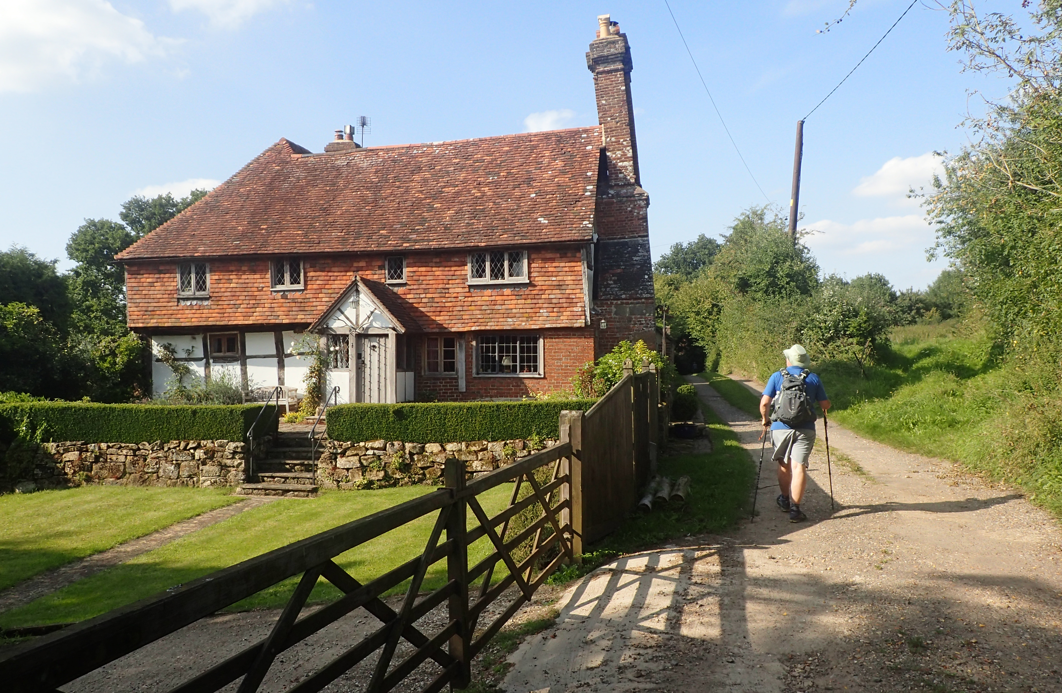
The Wealdway crosses differing rock strata, each of which has leant itself to different building materials and architecture. Thatch, wood, brick and hung tiles proliferate. Black & white timber framed houses and barns abound. Farms vary from the tatty and unloved to the grand and expensive. Wealden wooden braced halls alternate with flint walled churches. It really is a joy and if walking alone, I would probably have taken more time to halt and sketch en route.
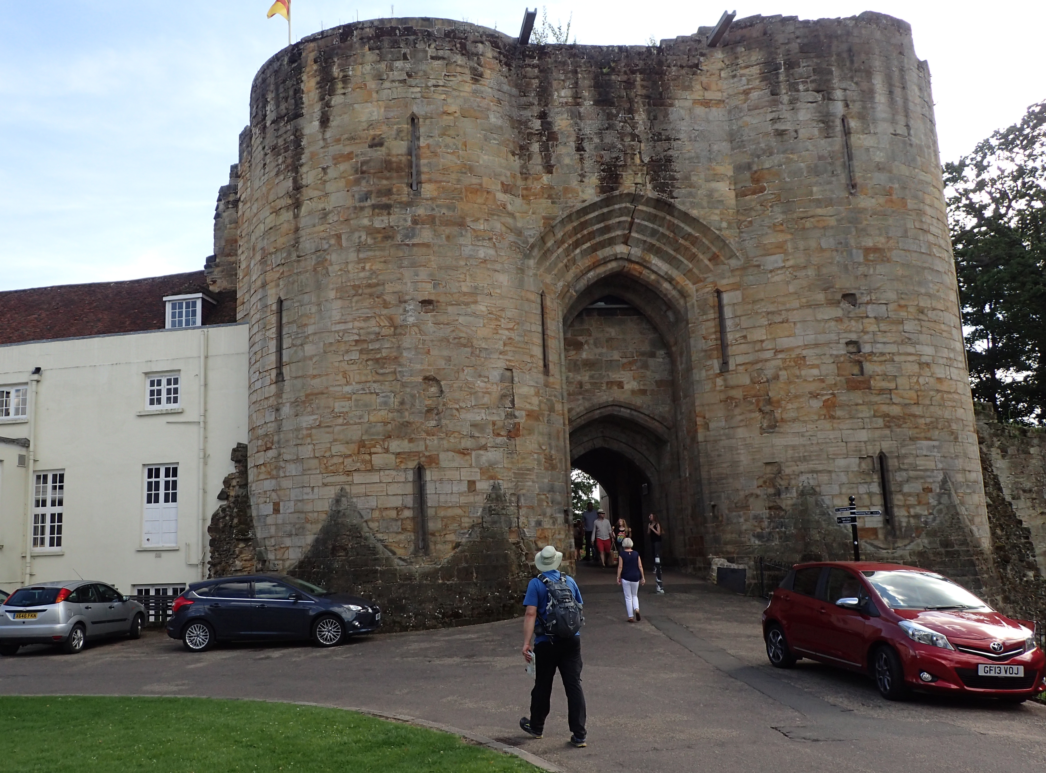
The 13th century gatehouse and curtain walls are almost all that remain of Tonbridge Castle. Built by the Normans, it stands on the site of a Saxon fort
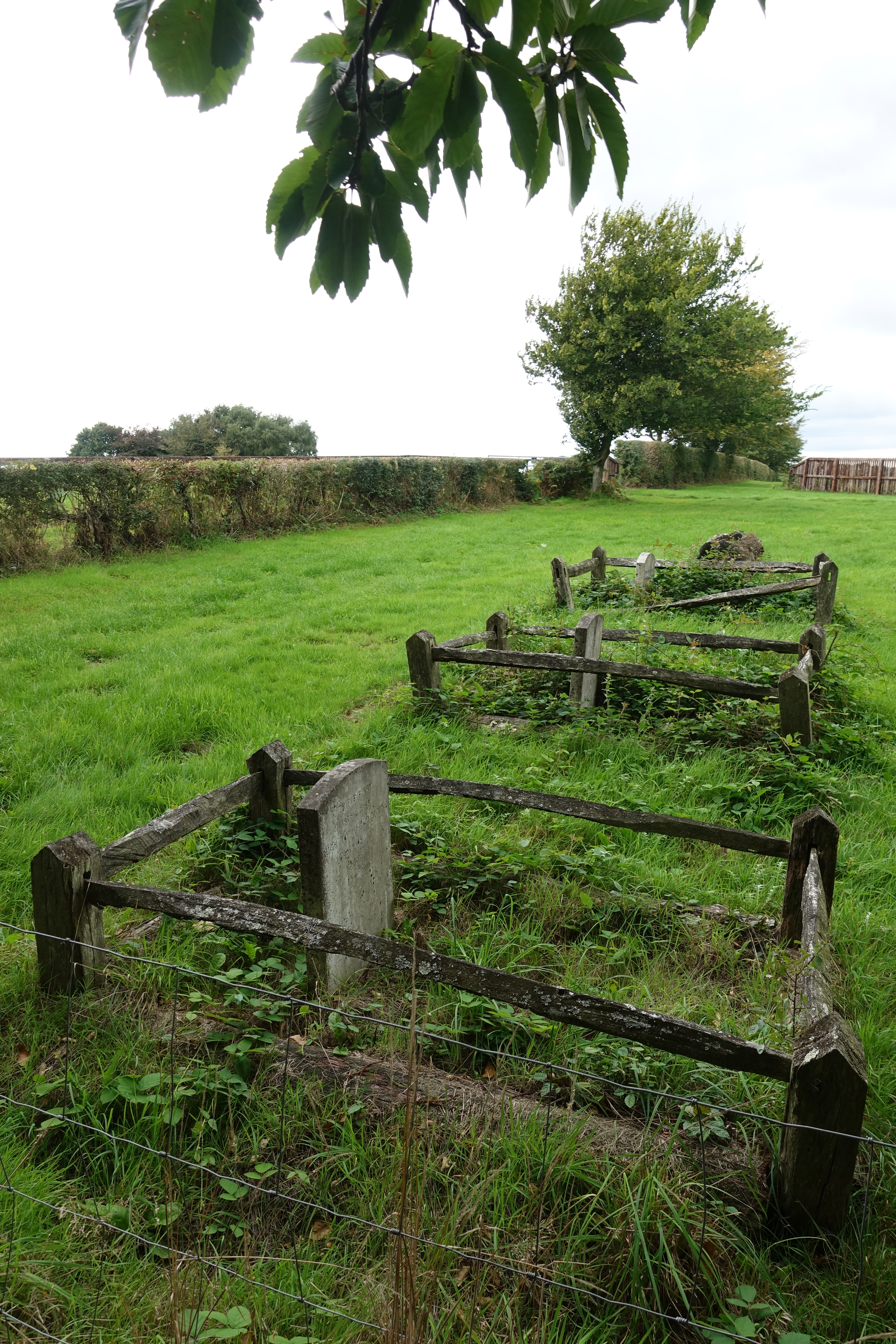
Horses graveyard near East Hoathly. The nearest headstone carries the musings of a proud owner- ’13 races, 13 wins’
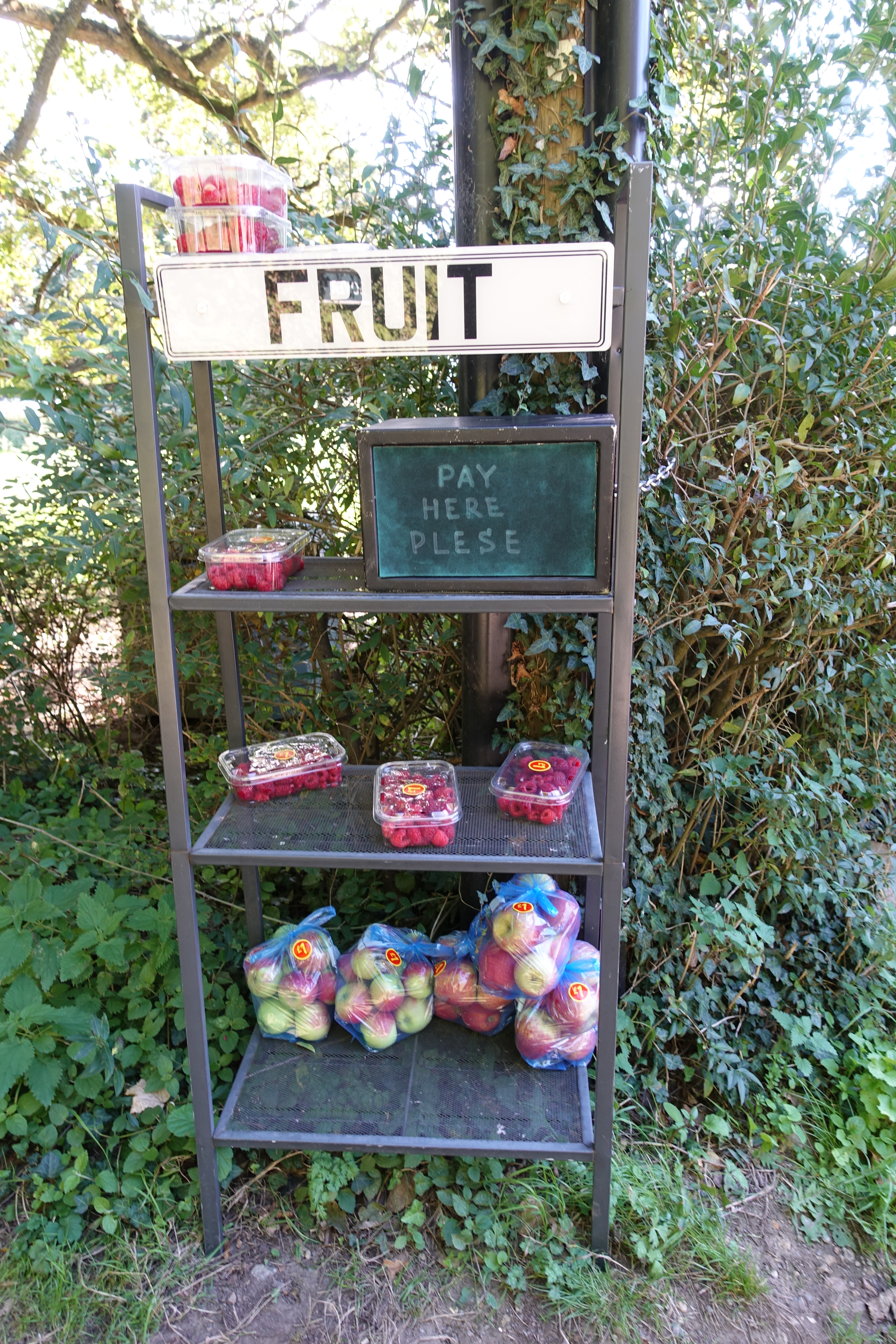
Honesty stall selling local produce
I walked through miles of orchards where the trees were literally dripping with apples, leaving these it was only to pass hectares of soft fruit. There are often surprises encountered on a long trail, I would never have expected to see a horses cemetery. The trail passes a statue to a kidnapped native American, the sites of crashed bomber aircraft, the haunts of smugglers, dead country railway lines, priories, the only surviving iron pier in the world, and the bridge where Pooh Sticks was invented…
“And that was the beginning of the game called Poohsticks, which Pooh invented, and which he and his friends used to play on the edge of the Forest. But they played with sticks instead of fir-cones, because they were easier to mark.”
The House at Pooh Corner, A.A. Milne
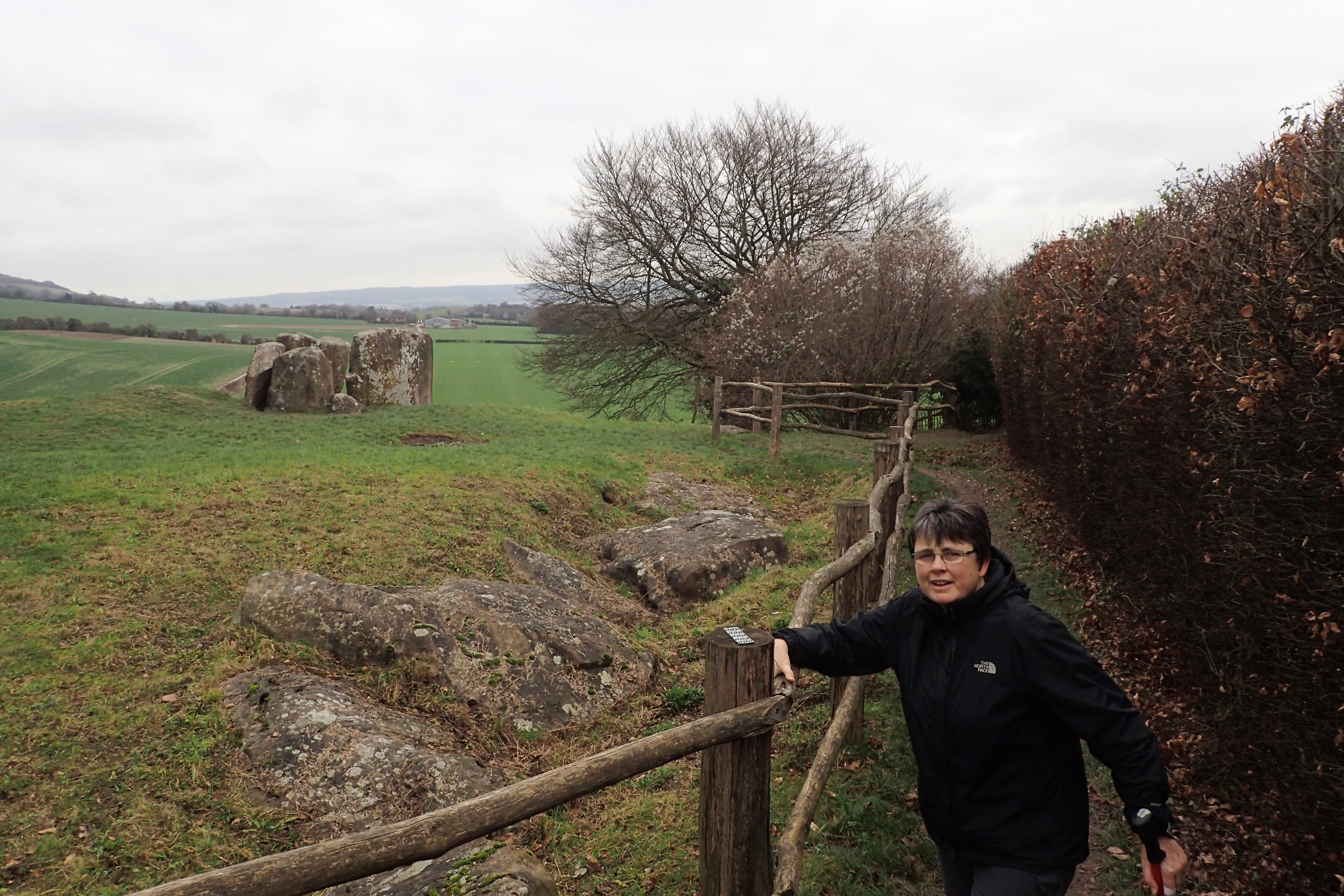
Coldrum Stones neolithic Long Barrow was excavated in 1910. It contained the remains of 22 people- men, women and children
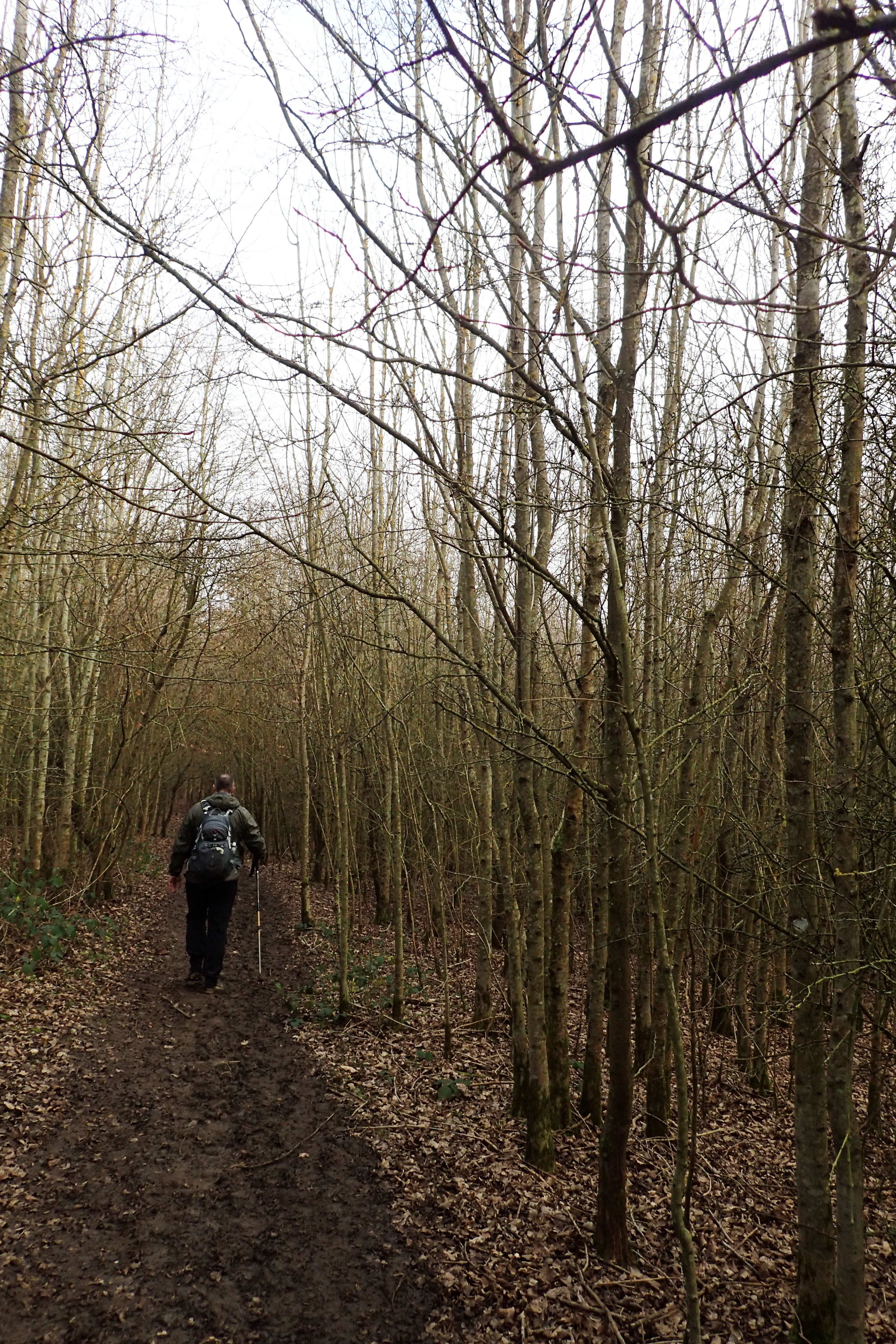
An avenue through a young coppice woodland
We will never really appreciate just how much the countryside has changed around the Wealdway. While the hills remain largely the same, other than the ravages of quarries and road cuttings, the wooded slopes have largely gone, torn down to fuel the iron furnaces or build the warships, cleared to make fertile land for farming, or make travel easier across a former dangerous place for a hunter gatherer or traveller to be.
More modern coppice woodlands- chestnut especially, or beech, oak or coniferous, depending on soil type, remain if much reduced in acreage. However the remains of the prehistoric races that lived here are in evidence. The remains of Bronze and Iron Age forts are passed, the ‘Tumuli’ shown on the O.S. maps are often worth a bit of an explore, especially sites like Coldrum Stones just below the North Downs. This long barrow differs from others found in England, being more akin to those tombs found in Denmark, which belong to the earliest Northern European neolithic culture.
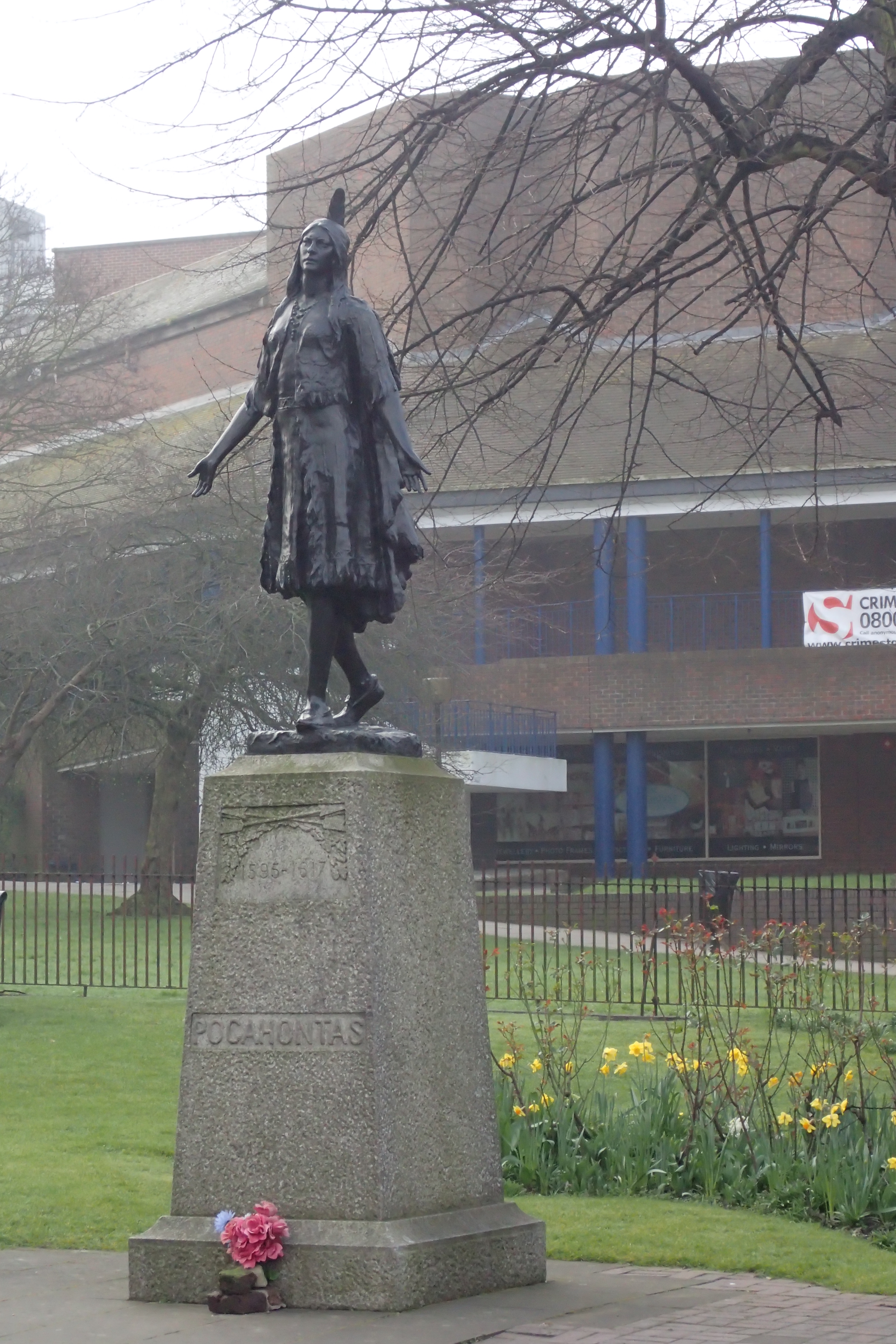
The statue of native American Pocahontas and her memorial are seen on the final day on trail at St. George’s Church, Gravesend
Mrs Three Points of the Compass and I thoroughly enjoyed our time on the Wealdway. Travel to and from each days section was easy by public transport and each day bought something new. Even when the clay soils were wet, the going was never particularly tough and our six days were spread across all the seasons so we got to experience it in all weathers, we even did one section twice, if unintentionally!
I thoroughly recommend it to anyone that wants a gentle and fairly short introduction to the diversity of Kent and Sussex. I loved walking in out of the fields and woods to briefly pass through a tiny almost forgotten village, briefly ponder whether to pop in to one of the pubs or not, reluctantly decide against it (miles to cover) and walk on back into the Weald.
As to my next day walk trail in the South East, more on that in the future.
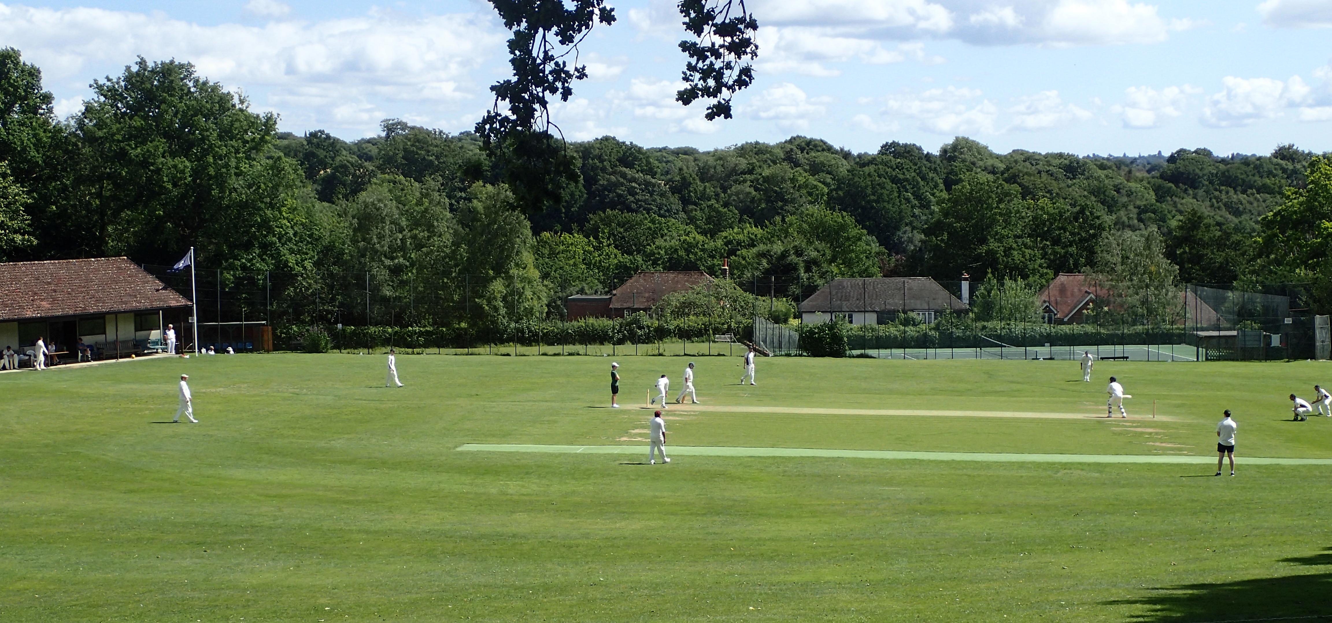
Taking time out for the crack of leather on willow- A cricket match at Bidborough
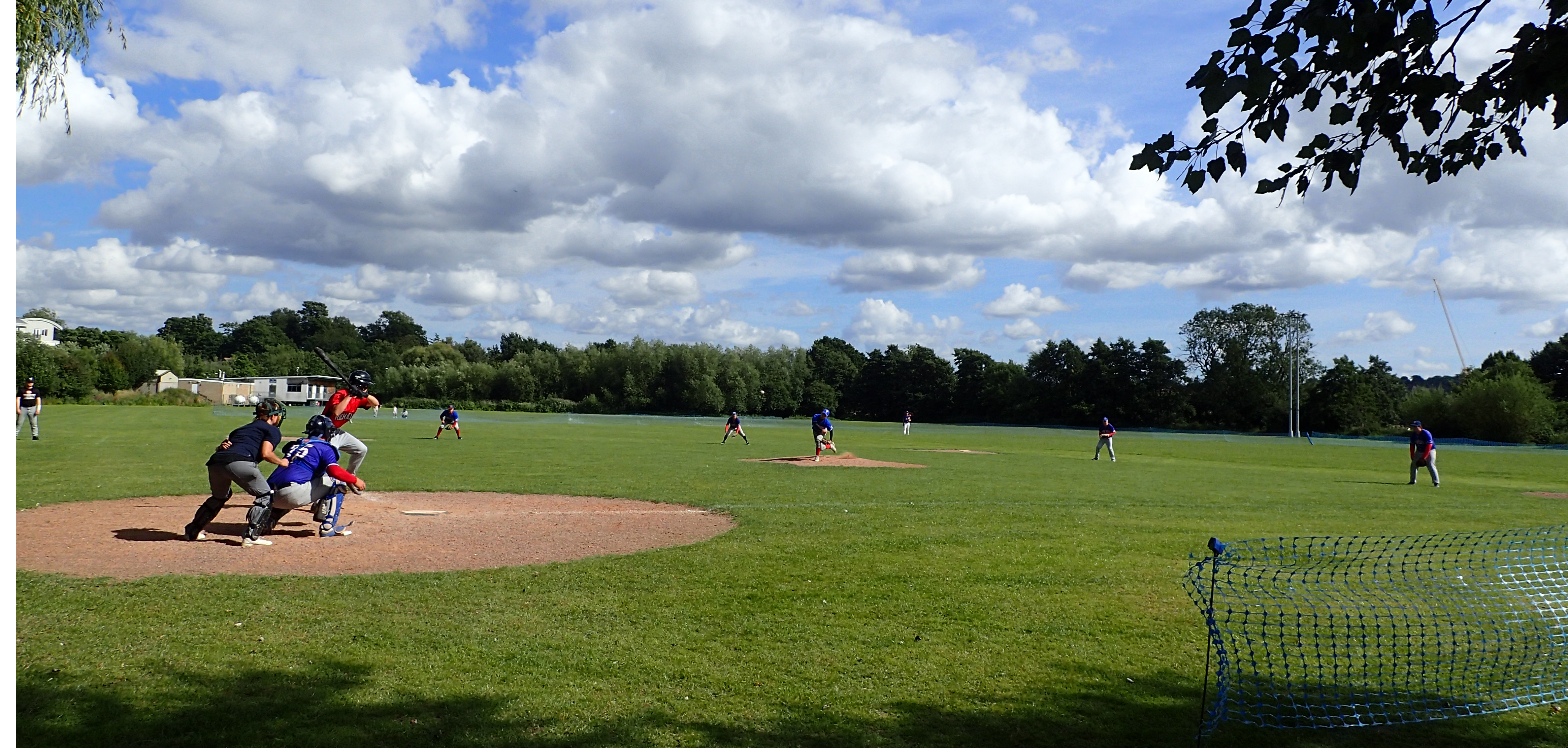
Baseball at Tonbridge
Three Points of the Compass does not always blog on the trails walked. Links to those that have been covered can be found here.

Looks like a nice walk. Look forward to reading about your walk in the South East.
LikeLike
Thanks for your comment. Yep, the Wealdway is a decent traverse of two underated English counties
LikeLiked by 1 person