
The Camí de Cavalls– the Horse’s Path
Menorca is a fairly small island in the western Mediterranean Sea. It is one of the Balearic Islands, an archipelago of Spain, near the east coast of the Iberian Peninsula. It offers a fantastic opportunity to walk an ancient and beautiful track.
Mr and Mrs Three Points of the Compass, and daughter when she was younger, have for many years tried to get away to one of the many islands in Europe each year. I have blogged on a few of them in the past. Menorca, smaller than nearby Mallorca, is a terrific holiday destination. It is a UNESCO Biosphere Reserve and almost half of the island is protected, with two nature reserves: The Nature Park of Albufera des Grau and the Marine Reserve Nord de Menorca. There can be just a small minority of holidaymakers to that lovely island that bother to explore far beyond the resorts, large towns and the usual organised bus and jeep excursions.
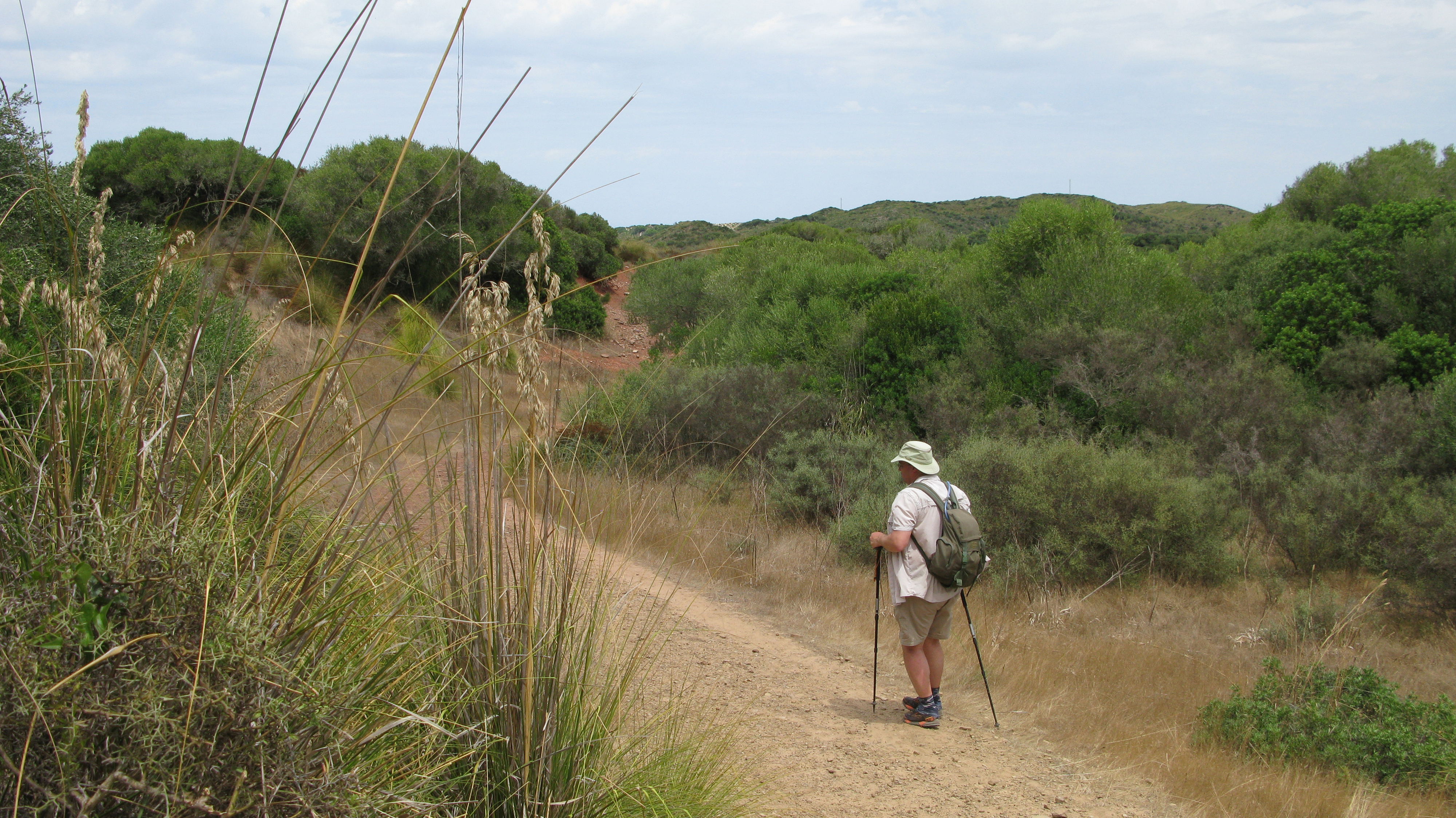
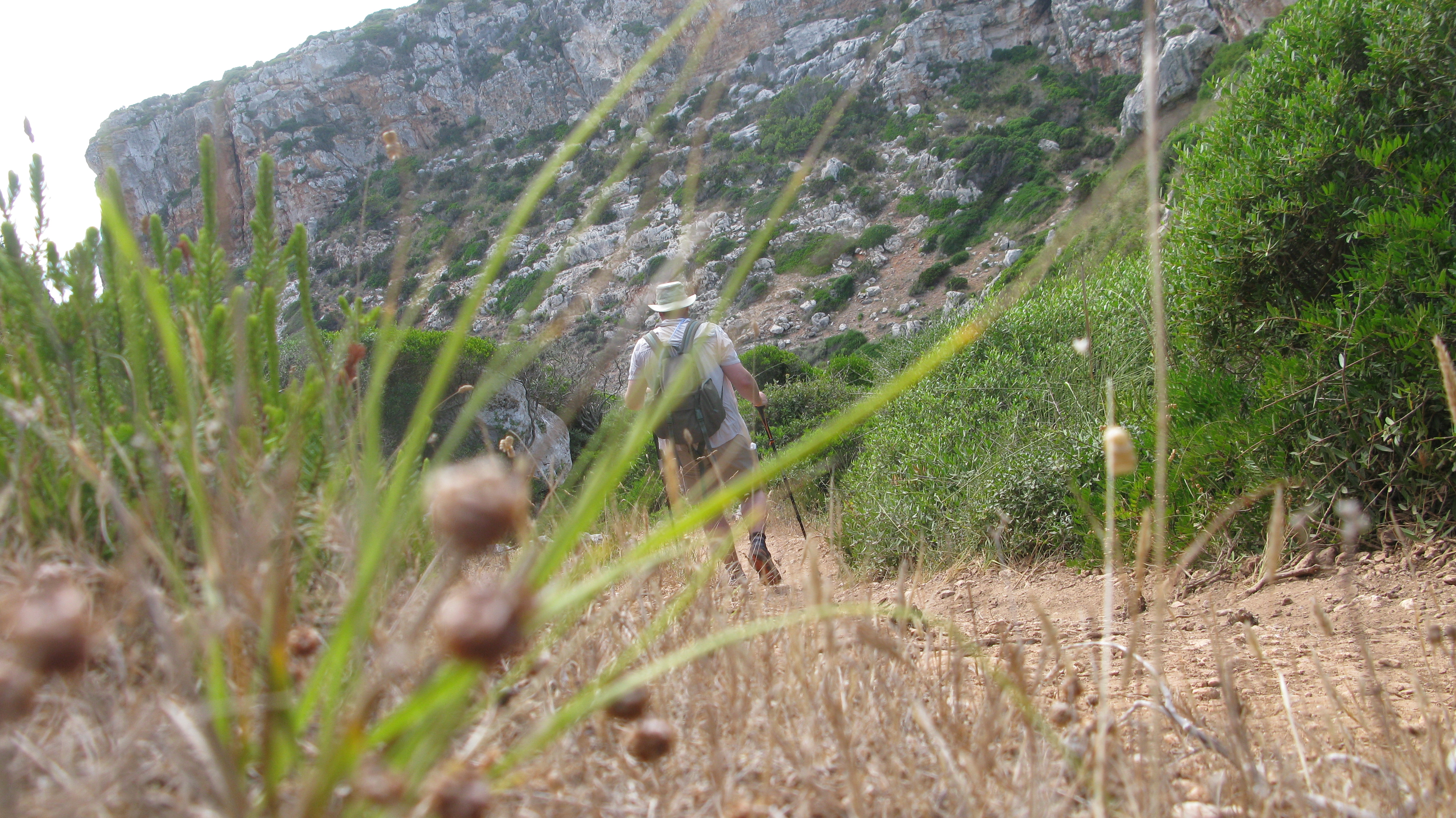
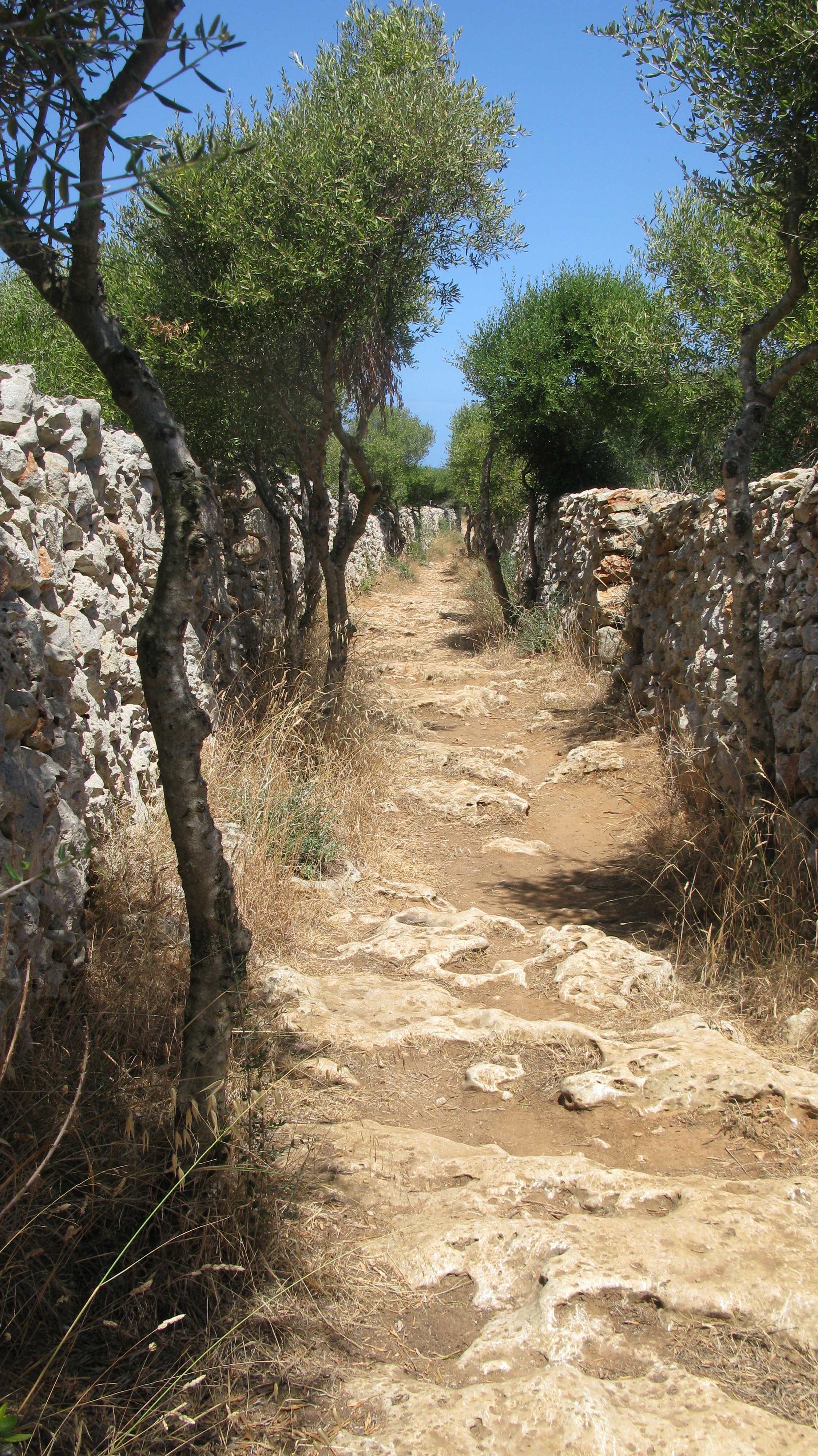
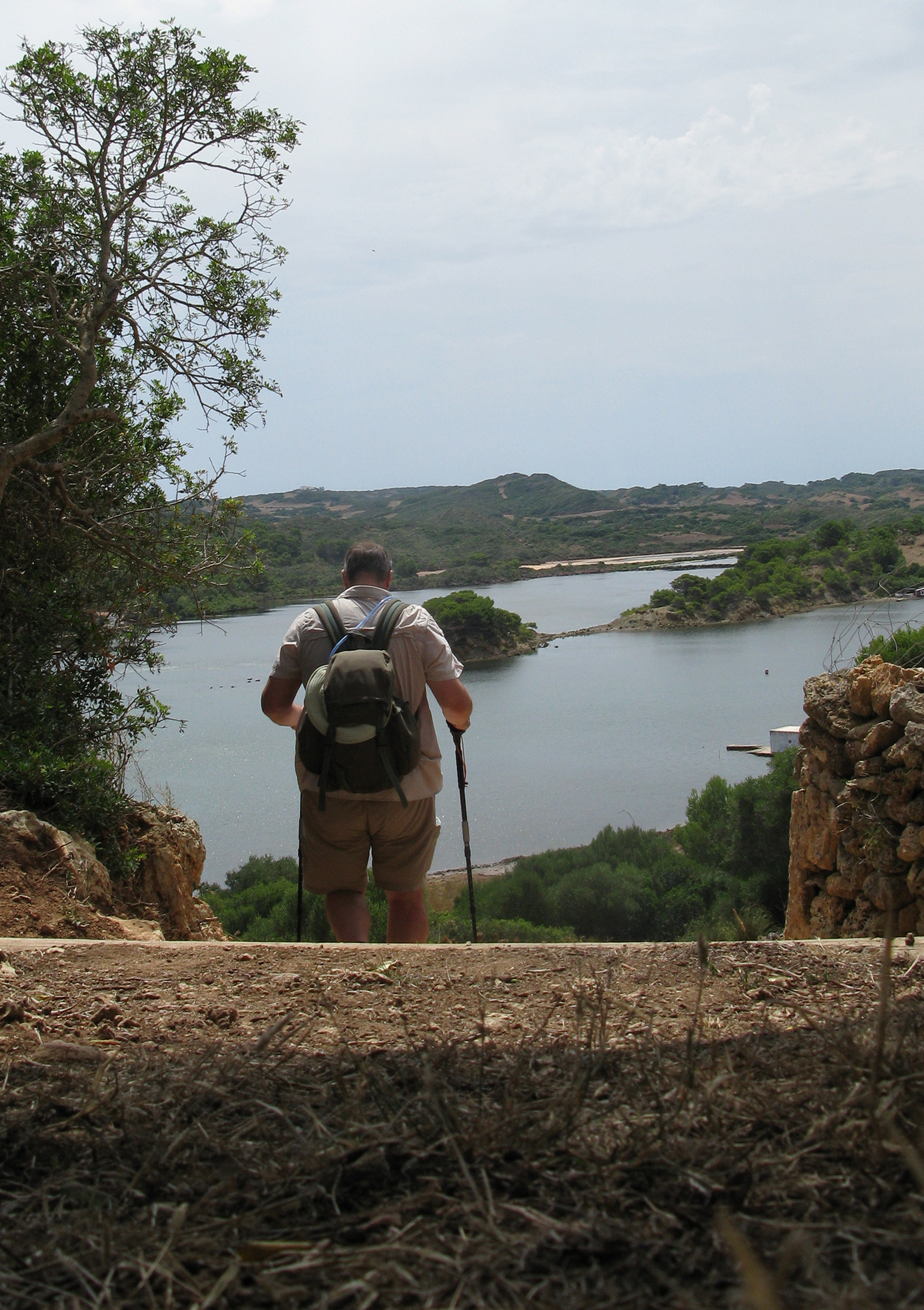
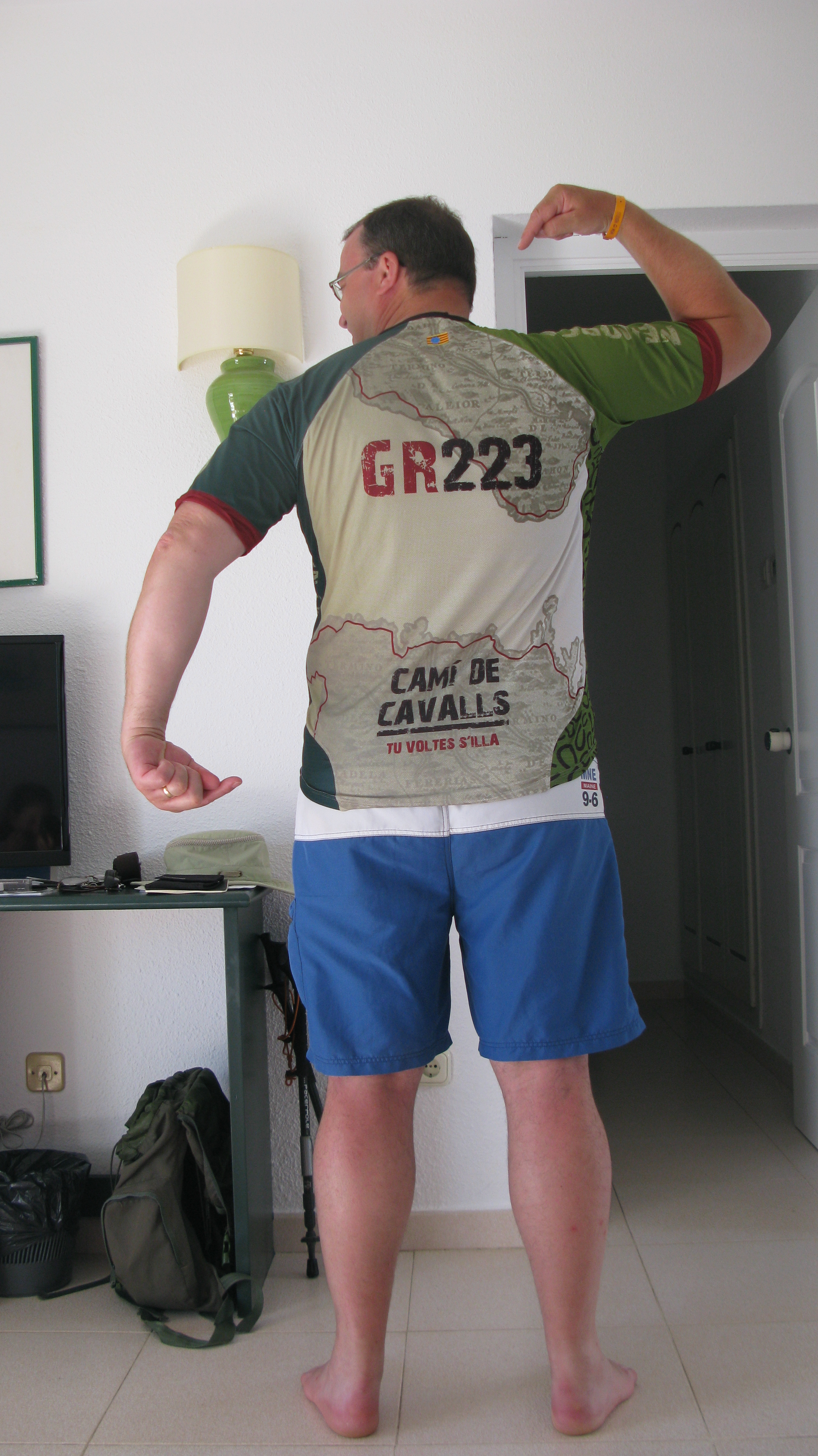
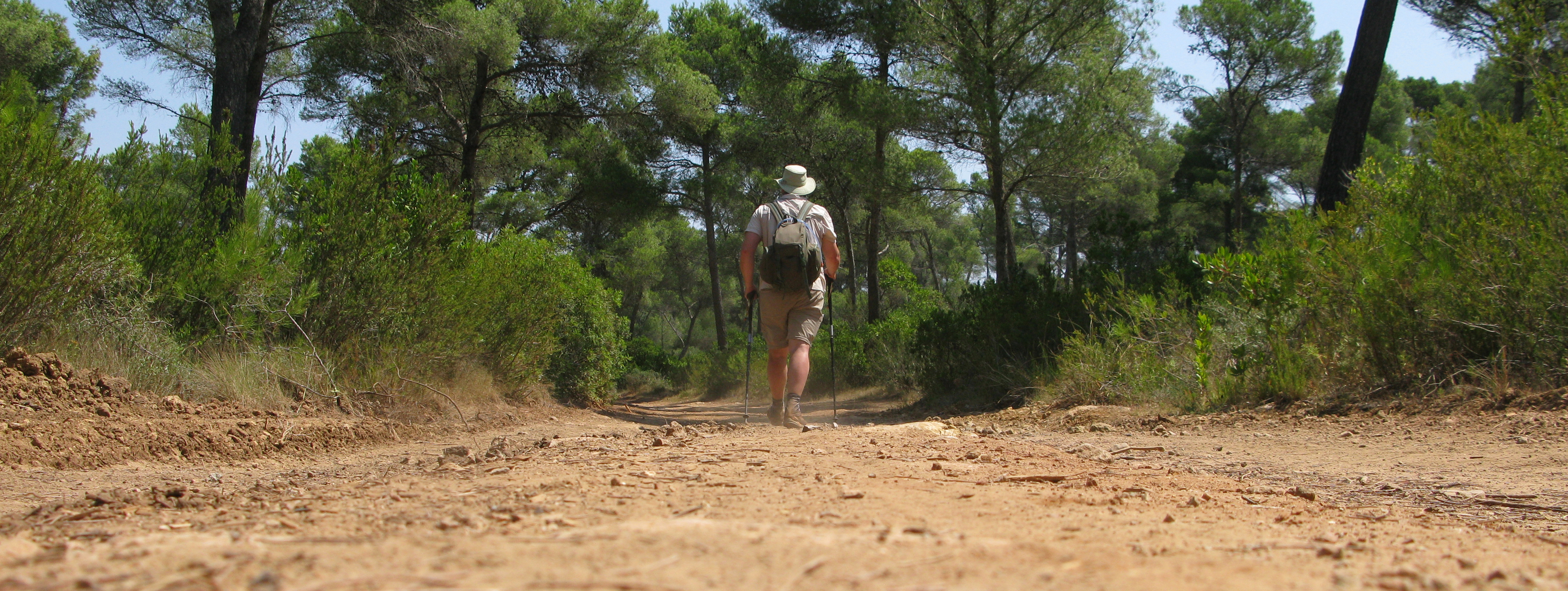
Along with some one million annual visitors I have enjoyed my time immensely on Menorca. Some may wonder how as my family and I took a package holiday to a busy hotel district in one of the busiest parts of the island- Son Bou, on the south coast. Many readers would regard such a holiday as anathema. I explored the island by car and bus with my family, we ate too much, we drank too much, and we enjoyed comfortable hotel facilities and weather that us Brits see far too infrequently. However, that was never going to be enough for Three Points of the Compass. This island has a special prize. It is encircled by a path that has uncertain historic roots. The coastal path was probably first built to allow access for the island inhabitants to guard against pirate attacks in the 16th century. Whatever its origin, it is now the GR 223 of the Senderos de Gran Recorrido network in Spain. Not only did this path get me away from people for much of the day most days. But it also enables access to some of the most beautiful and lonely parts of the island.

I am never going to criticise the majority of holidaymakers who enjoy frequent, affordable holidays in hotels at hundreds of locations across the globe, I am one of them on many an occasion. However, such holidays should be looked on by the hiker as a springboard to walking destinations far from home. Everyone must find their own balance, how much time their spouse is happy with them disappearing from pool side and family duties. I found that the Cami de Cavalls could be accessed pretty well by public transport, buses mostly, and taxis to the most distant and difficult to access points of the island. With careful planning and a couple of early starts, I was able to complete the entire trail during a fortnights holiday. No mean feat as it is 185 km (116 miles). With an understanding partner (unless they are joining you), you could do similar over a ten day or two week break on the island. It would be a push to fit it into a week’s break.

The benefits of staying at a popular central resort is that there are good bus links to the centre of the island- Alaior mostly, for onward movement to the start and finish points of each days hike. Two hiking partners with a couple of hire cars could handle the logistics much easier, but that would be damned expensive.
Or there are some holiday providers who can arrange minibus transport to and from. But then you are subject to their itineraries, other passenger requirements, and again, far more expensive. But, it does make the logistics much easier. Three Points of the Compass hasn’t used any of these companies so it is up to you to do the research and see if it suits your needs.
The island measures some 50km from west to east- Ciutadella to Maó and is no more than 20km north to south. But it takes time to travel around, especially by bus. Services away from the resorts are infrequent and very careful planning is required to ensure that connections will be there, especially at the end of the day. I checked online for bus timetables before I left and checked with my hotel for printed timetables when I arrived. A glance at the bus route map online reveals how some parts of the coastline are quite poorly served.
My first two days were simply the first two sections of coast nearest to my hotel, travelling out and walking back to the hotel. On the third day my family were rested and in need of exploration so we all went to Maó for the day. The British moved the capital there from Ciutadella because of its sheltered harbour and it is a lovely seaside town to explore. It was important to also find time to visit Tourist Information and bus station, for more timetables, check out how taxis work and what were reasonable costs, and get a general feel for how reliable the transport network is. Within the confines of the timetables, buses are cheap, clean and pretty reliable. However I made the mistake and found that any advertised buses on Sundays are a tad unreliable. It is best not to rely on buses on Sundays.
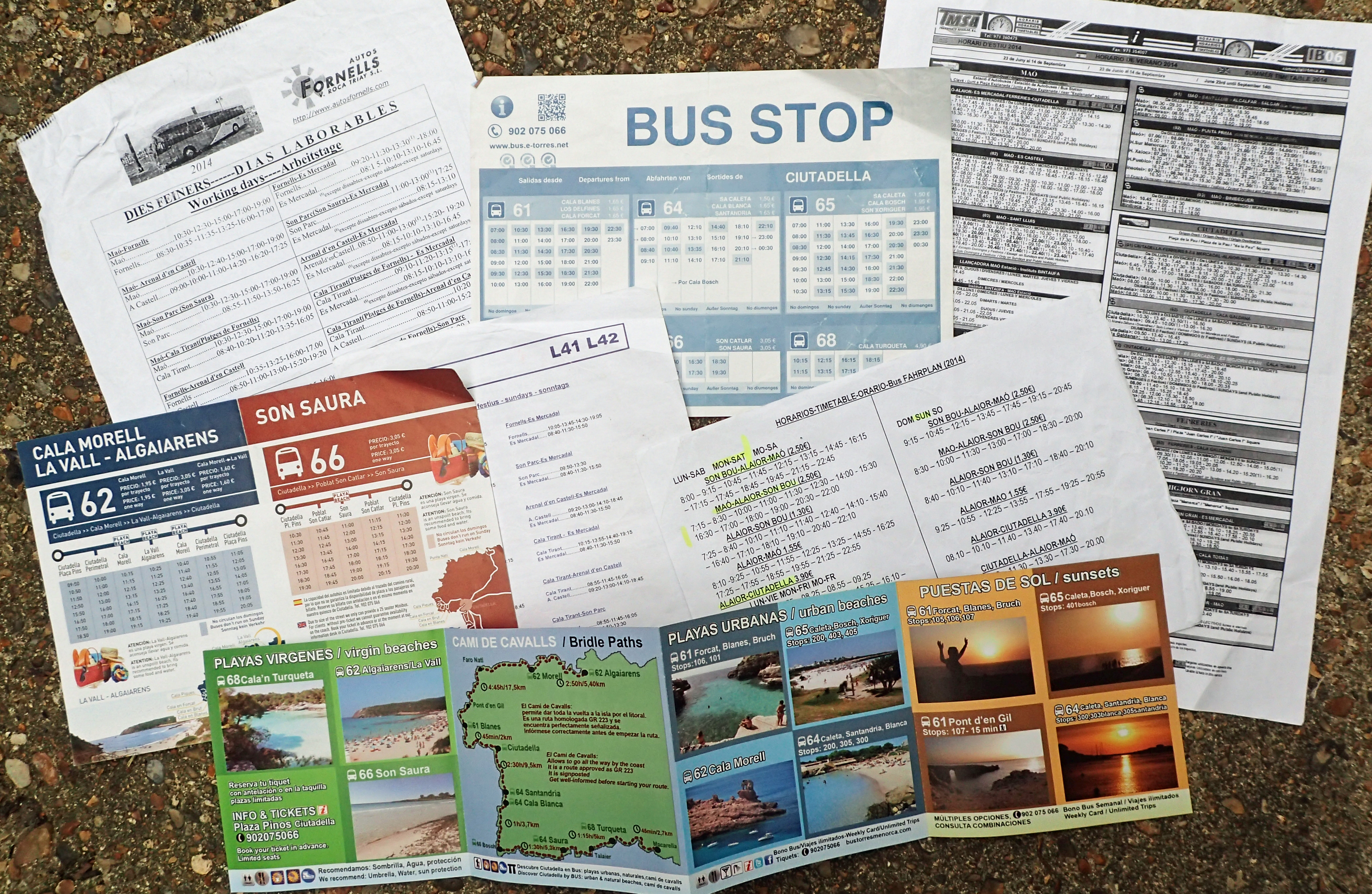

After my first two sections, and now having established transport links and more aware of what I could comfortably manage in a (part) days walk, accepting that many hours were going to be spent travelling to and from my start/finish points, either by a series of buses or a handful of taxis. I was better armed to arrange my subsequent days. I never completed the GR 223 as a continuous linear trek. Instead, I did sections that suited my and my family’s holiday. I had short days occasionally and was back at the hotel by midday so that we could do something together in the afternoon, or longer days with sections joined together and not arriving back at the hotel until early evening. I was working toward the more distant parts of the island and familiarising myself with the logistics for the following day. What worked for me, based at Son Bou, was as below.
| Day | Stage | ||||
| From | To | Distance | Ascent | Difficulty | |
| One | Cala Galdana | Son Bou | 17.2 km (10.7 mile) | 350m | Medium-easy-low |
| Two | Binisafúller | Son Bou | 19.8 km (12.3 mile) | 390m | Medium-low |
| Three | Binisafúller | Maó | 21.4 km (13.3 mile) | 220m | Low-medium |
| Four | Cala Morell | Ciutadella | 17.5 km (10.8 mile) | 300m | medium |
| Five | Ciutadella | Son Xoriguer | 14.7 km (9.1 mile) | 50m | medium |
| Six | Arenal d’en Castell | Es Grau | 22.2 km (13.8 mile) | 550m | Medium-low-becoming easy |
| Seven | Son Xoriguer | Cala Galdana | 18.2 km (11.3 mile) | 320m | Medium-low |
| Eight | Binimel·là | Arenal d’en Castell | 20.4 km (12.7 mile) | 170m | Medium-low |
| Nine | Binimel·là | Cala Morell | 24 km (14.9 mile) | 850m | High-then medium-low |
| Ten | Es Grau | Maó | 10 km (6.2 mile) | 250m | Medium-low |
| 185.4 km (115.1 miles) | Note that difficulty grading by the authorities tends to err on the side of caution |
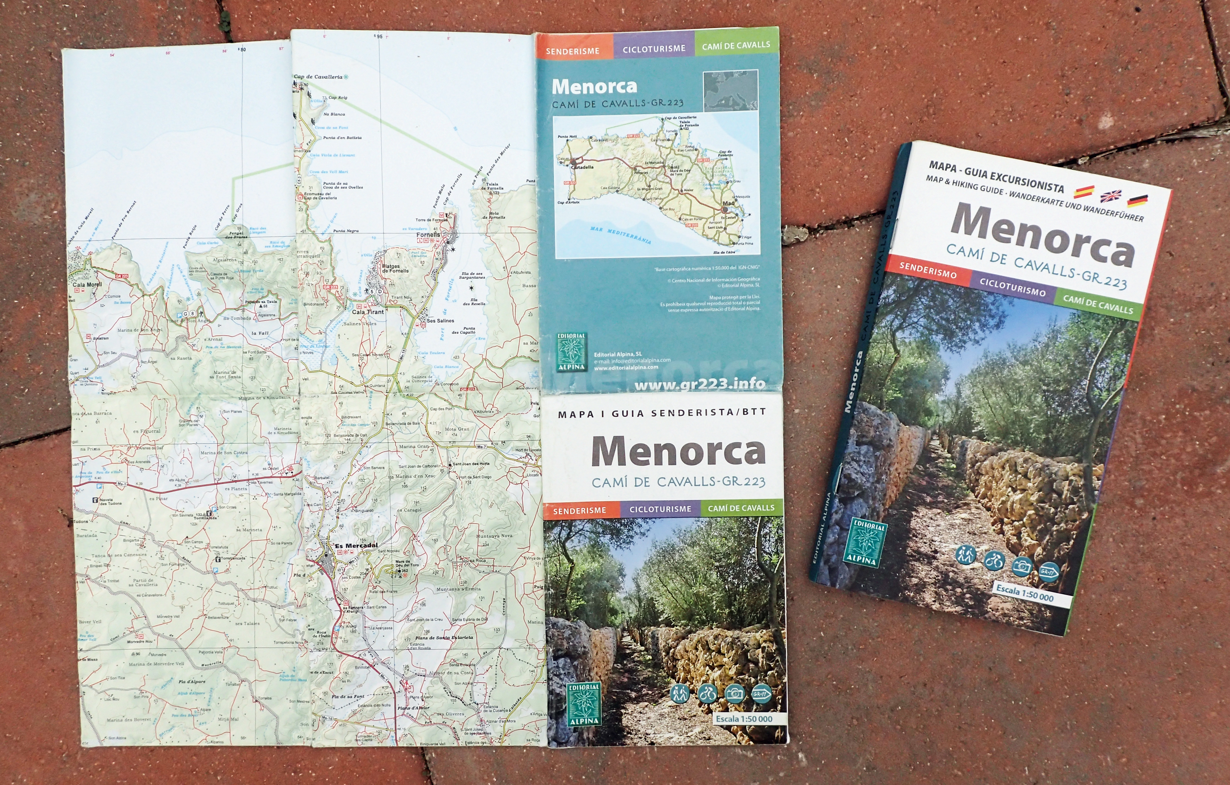
Triangle Postals produce a very useful publication. This is a full guide to the trail that includes a brief history of Menorca, the Talayotic culture, wildlife and a little detail on the island’s horses themselves. Also, how to complete the trail(ish) by cycle and helpful but, almost invariably out of date, information on transport. The trail profile maps are useful too to give an idea on the forthcoming day’s expected exertion. It breaks the trail down into 10 day sections with 20 1:35,000 maps and a folding 1:75,000 map in the rear. Note that the book and map are not lightweight- weighing 366g together. However- recommended.
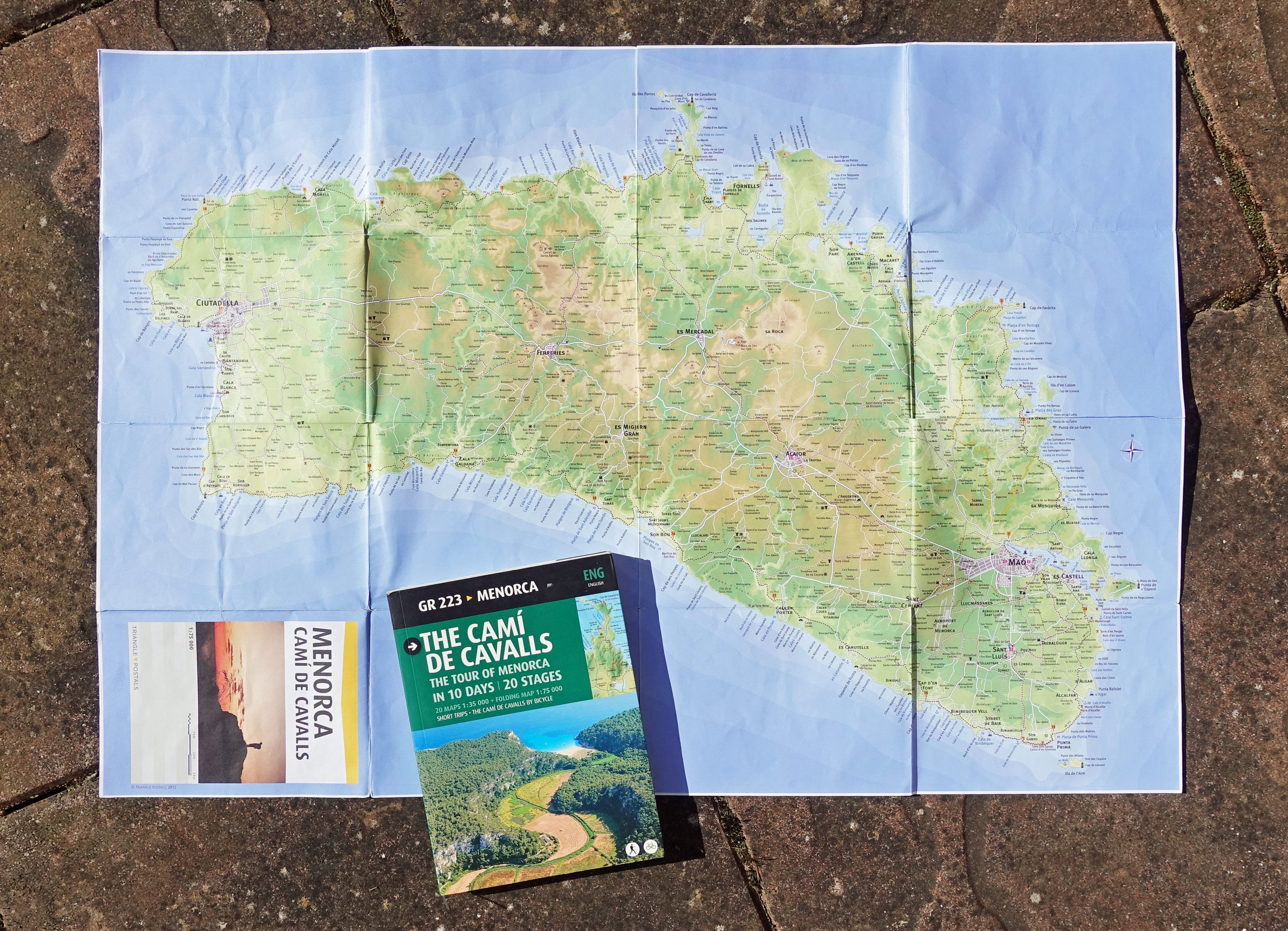
There is a very useful website offering great info on the trail in a number of languages. This will also point you at the most current map, official guidebook and, not that I used them, GPS tracks. I suppose it would be possible to hike the trail without guidebook or map as the trail is mostly quite well signposted, however I found them indispensable for planning purposes. The official guidebook only weighs 156g and the map, to a 1;50000 scale, another 60g. There is a handy interactive map online that also has some helpful information on what to expect on the different sections.
I didn’t spend time on trail looking out for cafes, they simply aren’t there when you want one, other than while waiting for a bus on occasion. Lunches were simply a roll or two, meats (Ses Tanques) and cheeses (Queso de Mahon) from a local supermarket plus a few nuts. Hydration is another matter. This is a dry island with no rivers and it is very unlikely you will find water should you run out. I carried a minimum of two to three litres with me each day, occasionally more, and still ended up purchasing water in town shops toward the end of a day’s hike.
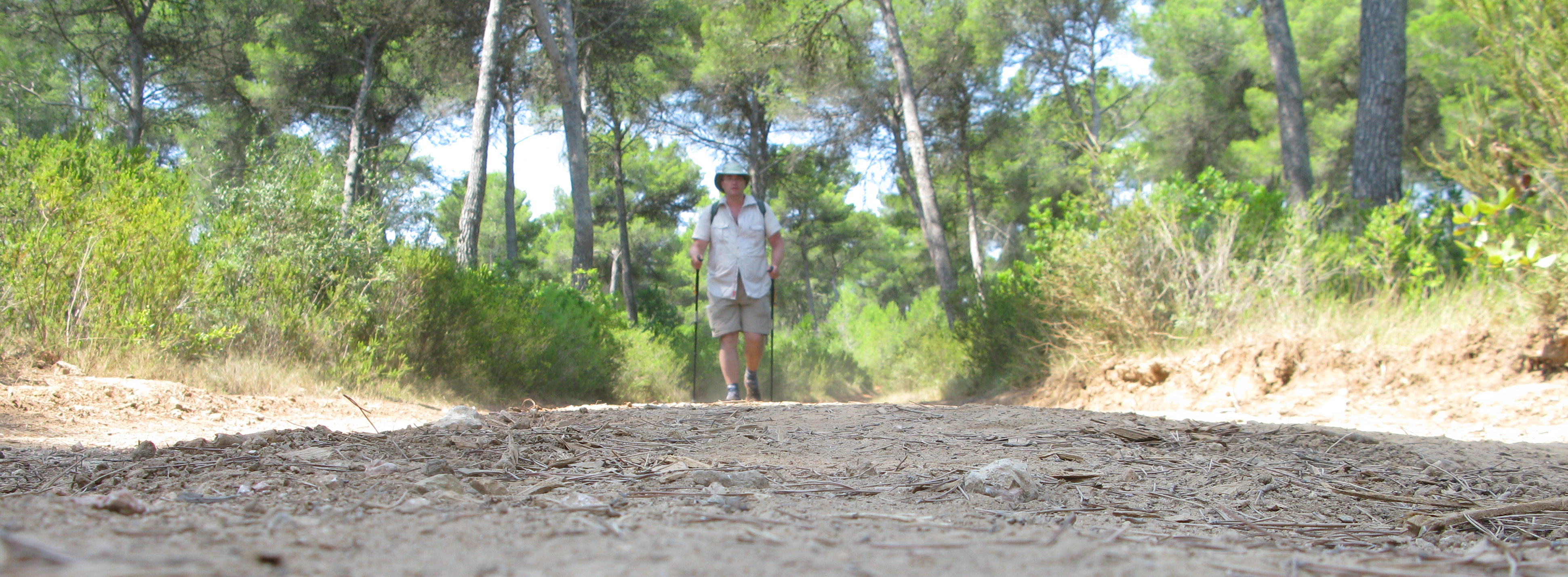
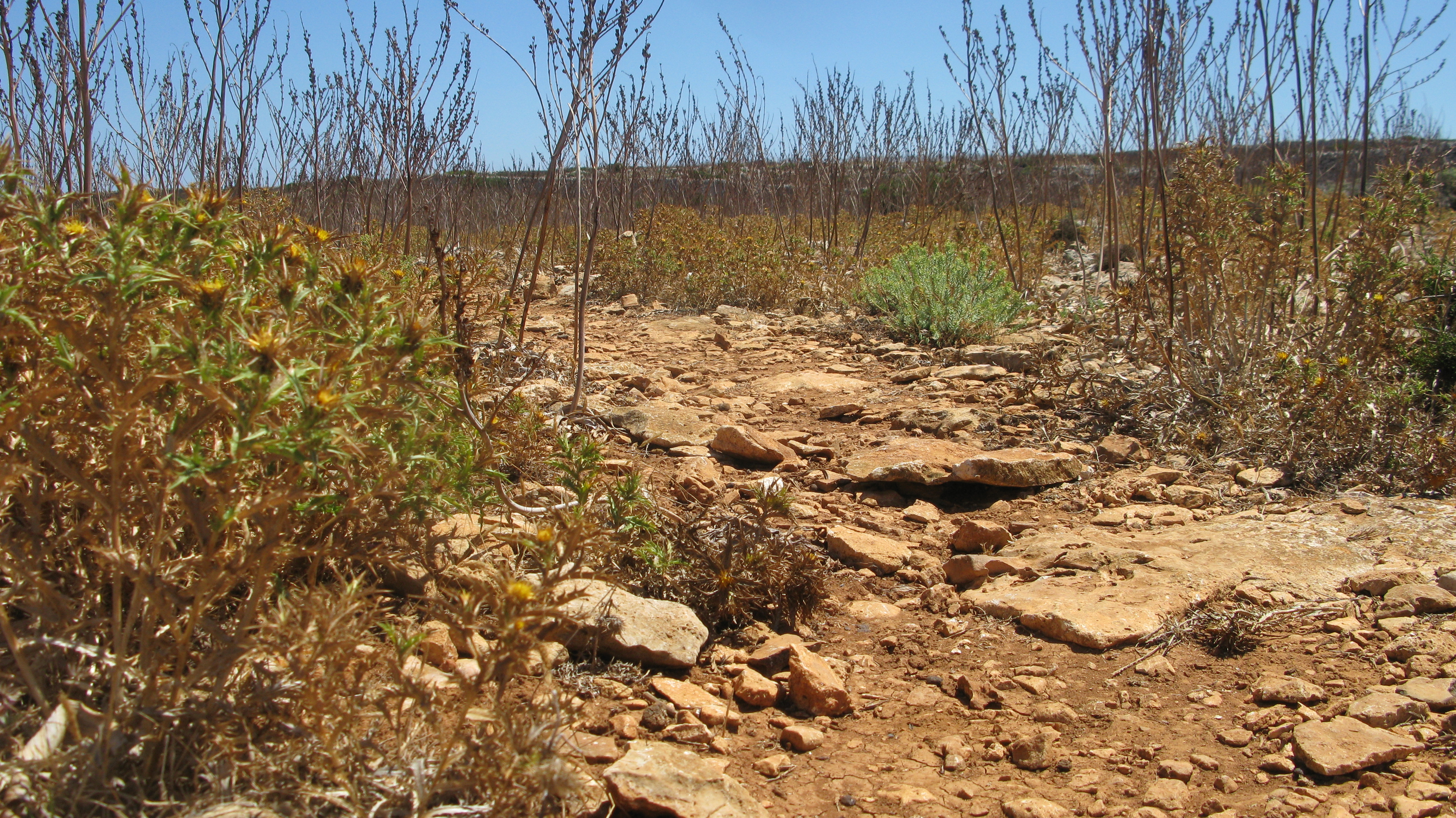
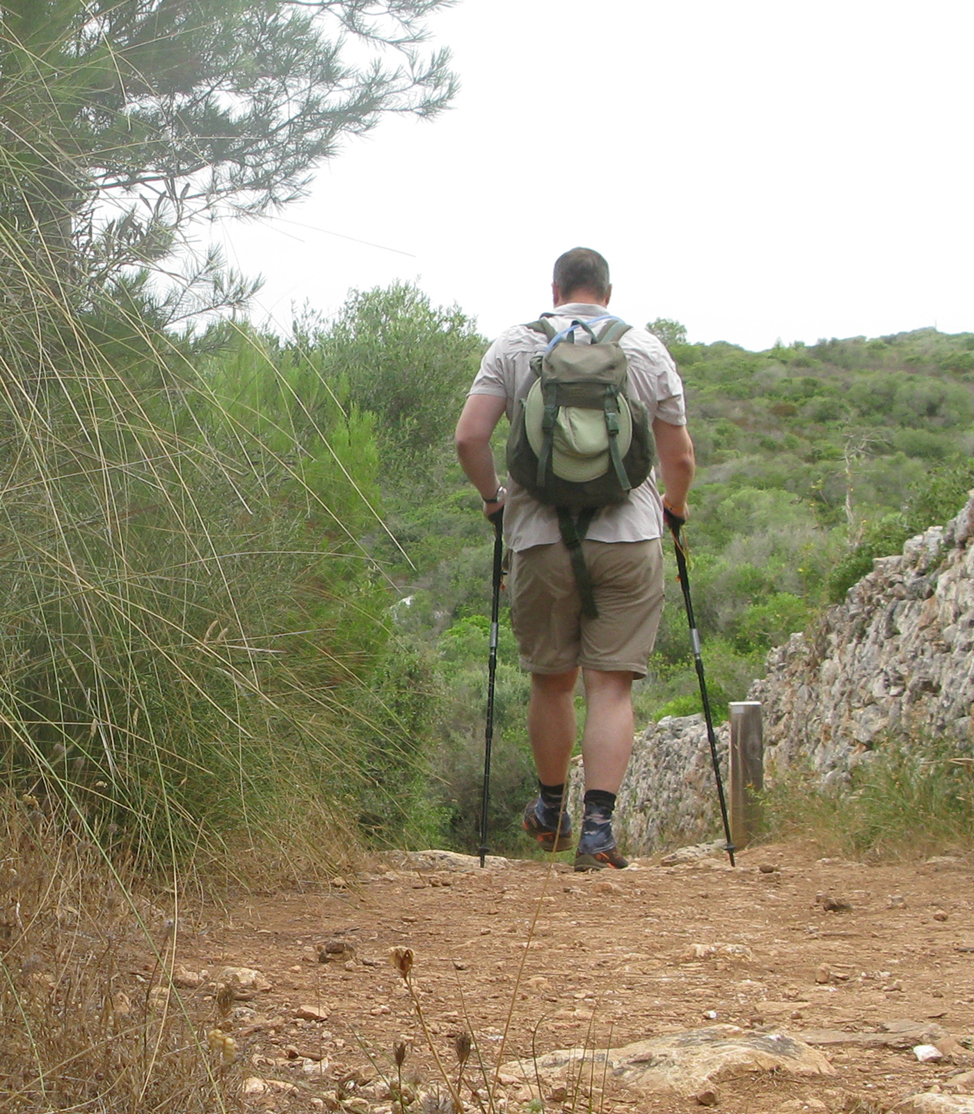
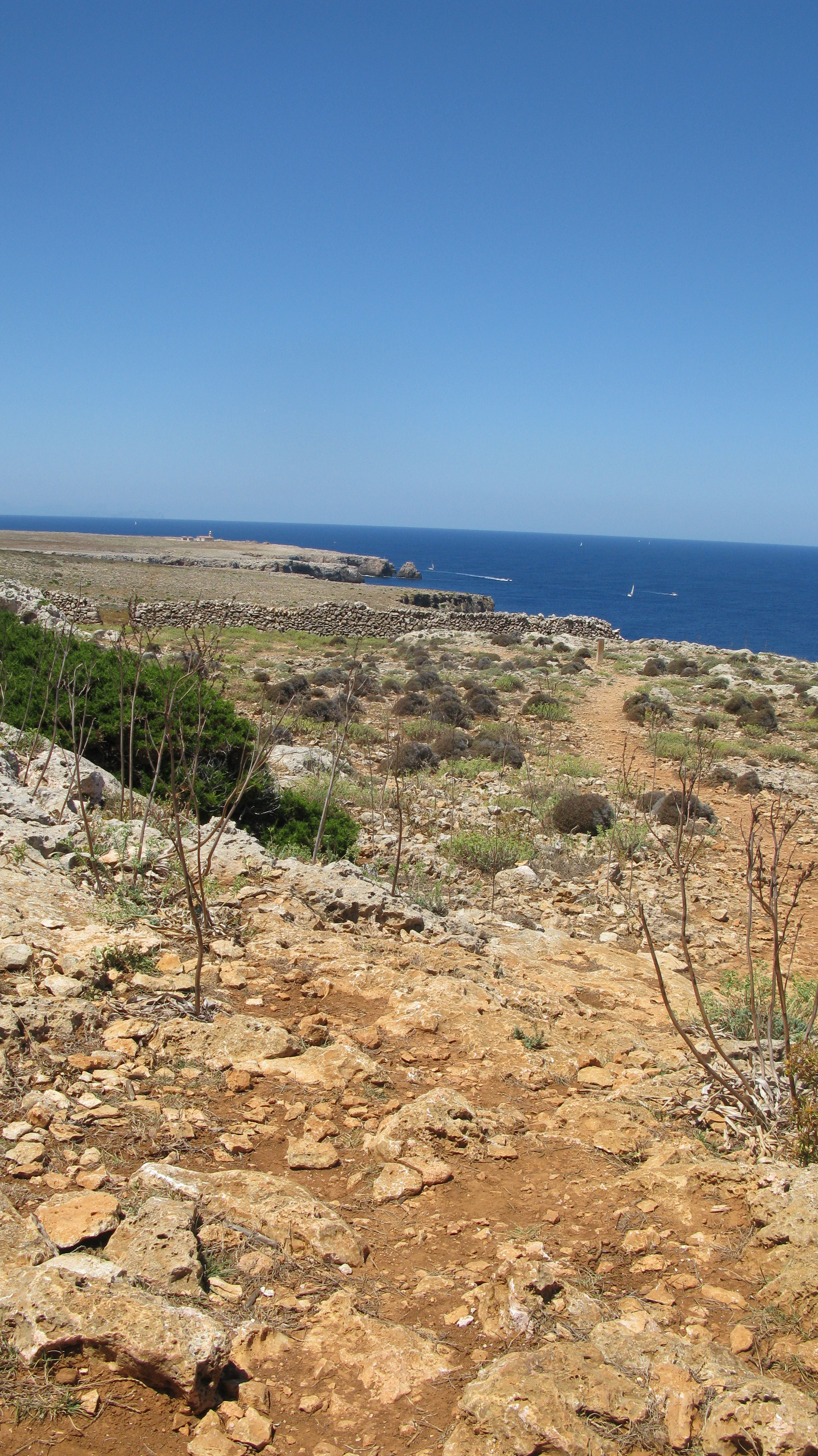
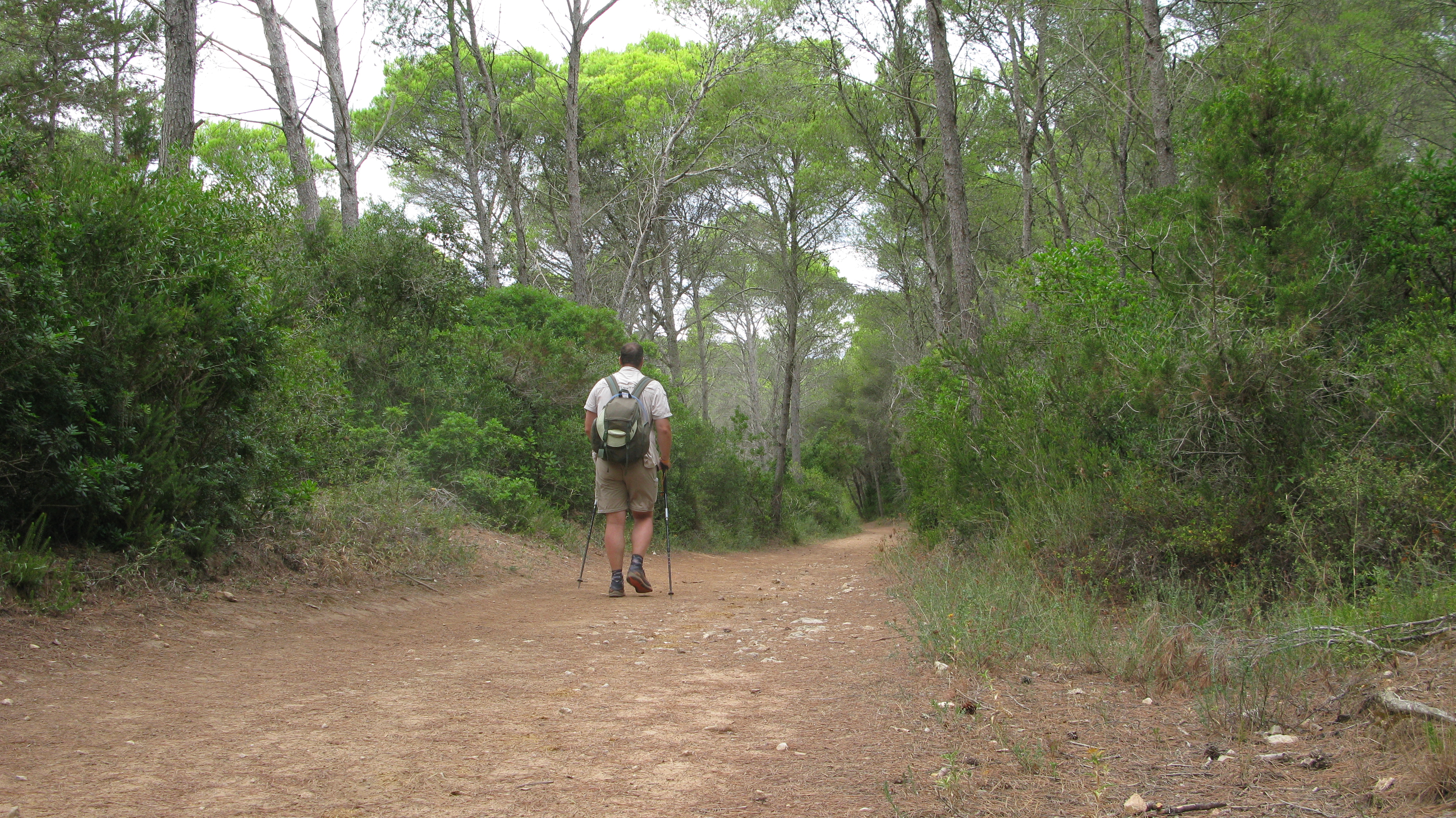
Obviously a hat and sunscreen are important too. Shorts and trail runners are fine for hiking. It is a hot and dusty trail mostly. Especially in the north west corner of the island between Cala Morell and Ciutadella. There is only scrubby sparse vegetation here and the going is rocky.
Elsewhere, I had a little rain on a couple of days, I carry a light waterproof when hiking anyway so threw that on for an hour or so.
One thing I was pleased to have with me was my little monocular. Europe’s only sedentary population of Egyptian Vulture lives on Menorca and I enjoyed fantastic views of them in the north. Other raptors included Booted Eagle, Kestrel, Red Kite and Eleonora’s Falcon. Hoopoo flew along the trail as I approached, Ravens kronked. Shrikes and Pied Flycatchers flitted in the sparse pines. Dartford Warbler perched obligingly in the scrub. Around the abandoned salt evaporation ponds at Salines de Mongofra, complete with wading Egrets, the call of Bee Eaters surrounded me as parties swooped around. Individual birds looking as though they had been dipped in multiple paint pots.
I saw few terrestrial animals, Hermanns Tortoise were often seen on the paths, occasional rabbits, the only Pine Martin was road kill. Butterflies and dragonflies aplenty but sadly none I.D’d.

Few people shared the trail with me- one cyclist, a few trail runners, I saw just one small party of horse riders. Obviously when I was around some of the beautiful sandy coves, I was often sharing these with hundreds of holidaymakers. At other coves, remote from any habitation or road, I had them all to myself.
You may have gathered by now that Three Points of the Compass joined together a few of the sections. It is divided into twenty stages with some form of access being available at start and end points. It would definitely be possible to hike it that way but it would take more time than most holidaymakers would enjoy. I completed the trail in ten days. My longest days were on the ‘harder’, more distant, sections, but any mildly capable hiker could easily do similar and that does cut down considerably the need to keep accessing more distant parts of the island subsequently.
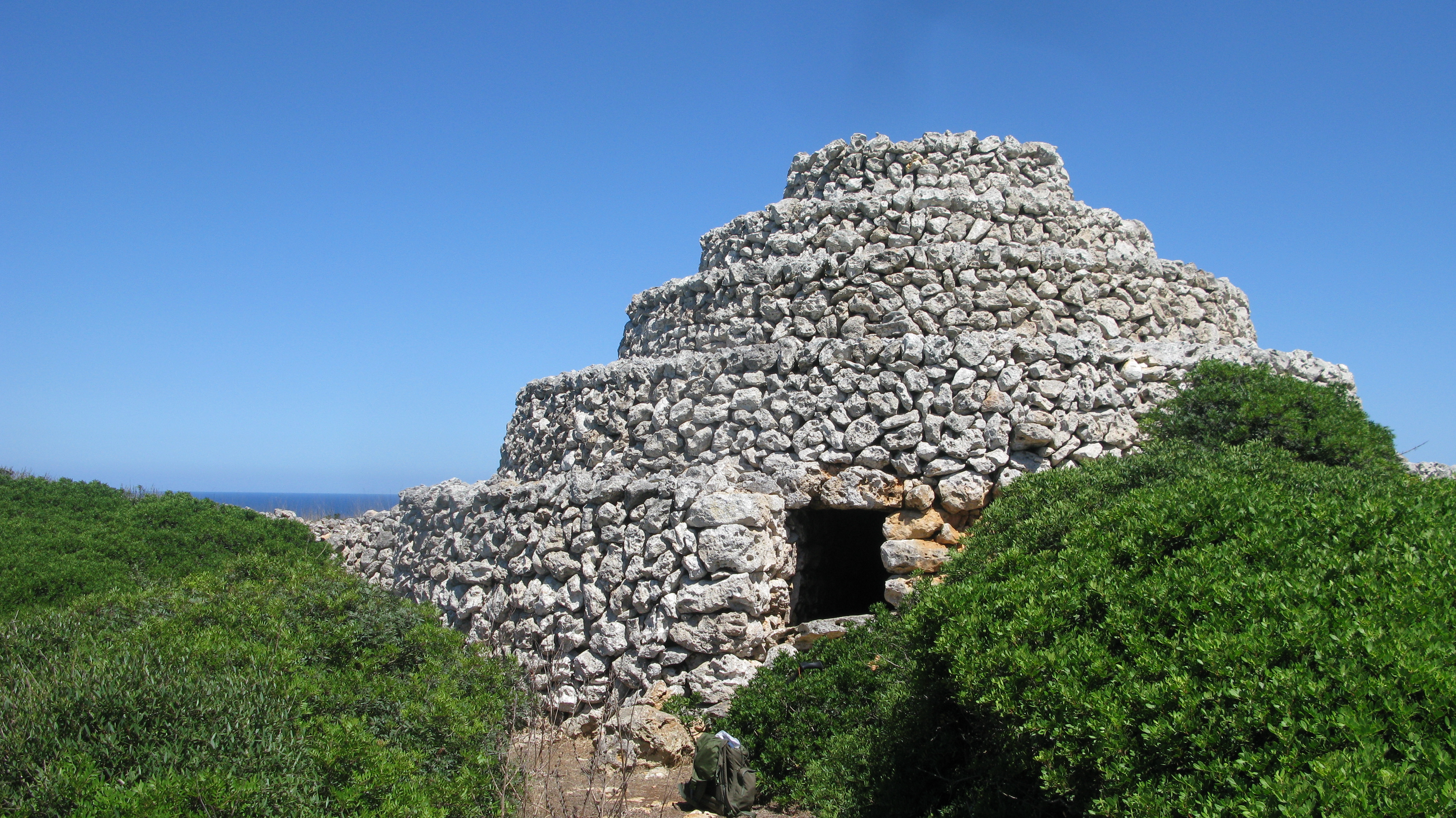
Would I recommend the GR 223? Absolutely, it is not particularly difficult. It takes you to some stunning parts of the Menorcan coastline that few see. The island countryside and coastline is surprisingly varied with much of interest. The GR 223 passes ancient stone watchtowers and fortresses and provides a welcome escape from the confines of a holiday resort should you require respite.
If you were do just do parts of it, then Three Points of the Compass would definitely recommend the north west and west, however that would miss out the entirely different limestone cliffs and gorges of the south.

Really interested in your travels.Really like the details you cover. Thankyou
LikeLiked by 1 person
Thank you for this, inspired! Have holidayed on Menorca for years but never done the trail.
LikeLike
Let me know if you do walk it William. Could always be tackled piecemeal, over a couple of years
LikeLike