
I was first introduced to Harvey maps when planning long distance walks. Later, they were used on family car camping trips to Scotland. We had weaned our young addition to the family on to country walking and camping and it was time to venture into wilder country.
Those early marathon family trips to Scotland comprised ‘best of’ tours, with hill walking in the Cairngorms, Isle of Skye and the Trossachs. Despite our teenage daughter rebelling in the final days, refusing to walk up yet another mountain, pre-planning and walks had been greatly aided by the superb Harvey maps .
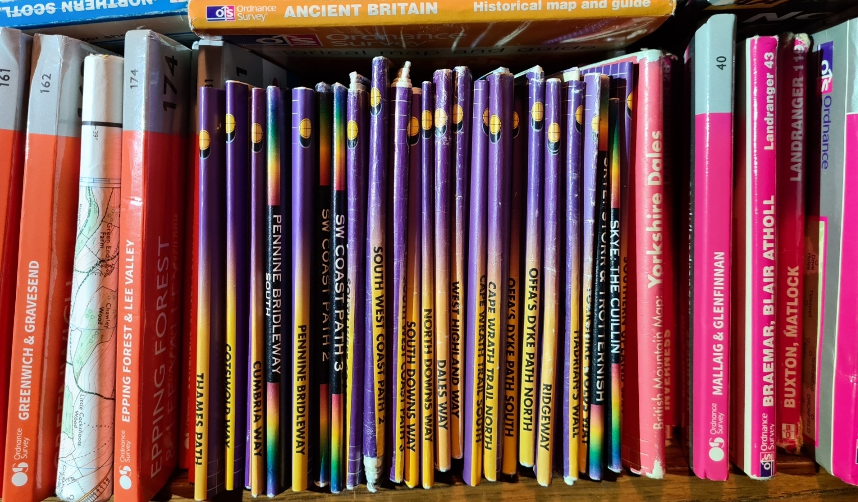
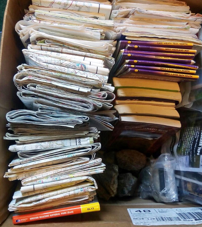
My shelves groan beneath the weight of hundreds of maps from many years of traversing, exploring, getting lost, plotting, planning, discovering, and learning the very necessary skills in map reading and navigation essential to anyone that ventures into the countryside. What is also essential are accurate, clear and well produced maps. Cartography is a skill, seeking the perfect compromise between detail and legibility. Three Points of the Compass has written before of a long relationship with the world class Ordnance Survey (O.S.) maps, especially the Explorer and Landranger sheets. The first O.S. map published was of my home county of Kent, England, in 1801 (four sheets at a scale of 1:63 360). O.S. maps don’t have a monopoly on my shelves though, not at all. Sitting right alongside them are more than a handful of maps from Harvey.
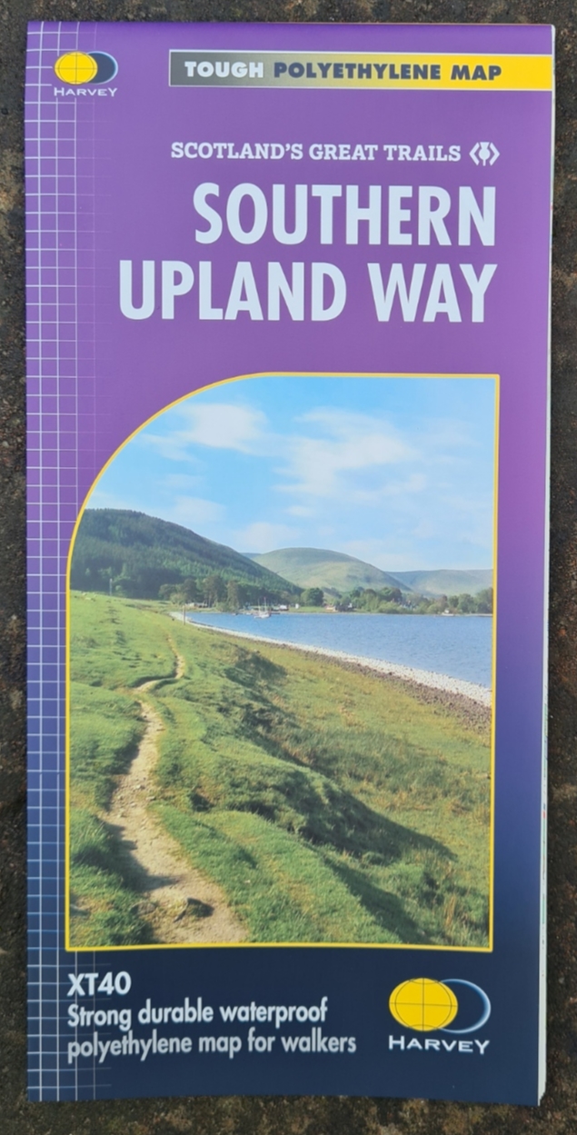
Harvey maps were founded in 1977. At that time Robin Harvey and Susan Harvey were providing well respected orienteering maps and one of their first products was for the Karrimor International Mountain Marathon, now called the OMM (Original Mountain Marathon). A 1:40 000 scale (XT40) was chosen for this map by Gerry Charnley, the event organiser, and this scale remains the standard for many Harvey sheets, though not exclusively so. A scale of 1:40 000 equates to 2.5cm to 1km (or 1 inch to 1km), 2.5mm to 100m, 1.25mm to 50m.
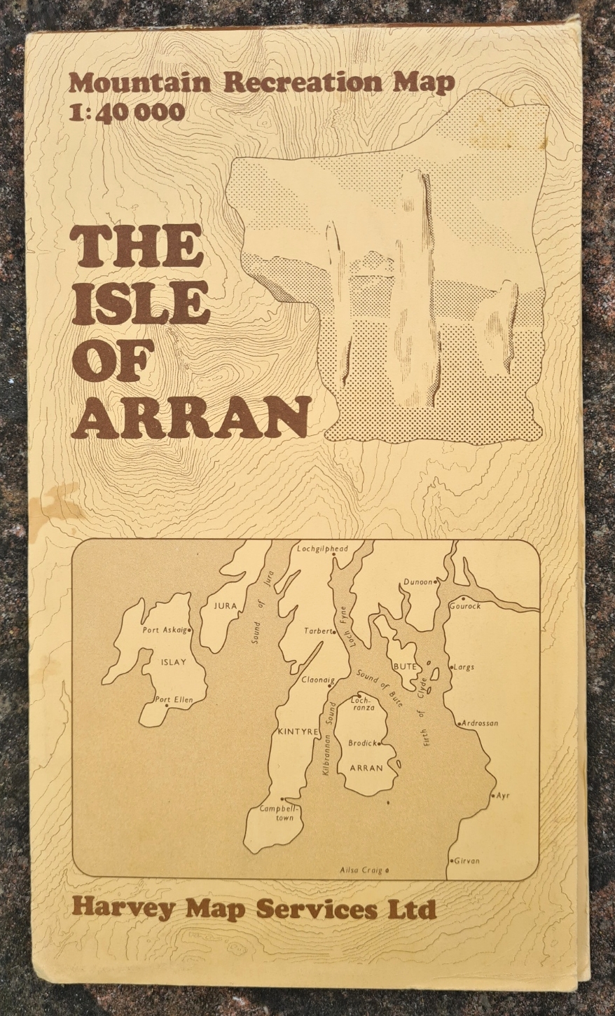
Harvey have been at this game for quite some time now and have got good at it. In their earlier days it was possible to buy their then limited range of maps on standard paper or as a waterproof option. In 1984 Harvey’s waterproof ‘Mountain Recreation Maps‘ were available for Borrowdale, Dartmoor, Helvellyn, Howgill Fells, Isle of Arran, Peak District, the Rhinogs, Scafell and Strathyre.
The early waterproof map range was called Duxbak, as in ‘water off a duck’s back’. Needless to say it was the waterproofed paper maps that proved most popular. So much so that these became the only option and the cartographers have subsequently built a reputation around these well produced robust products that will stand up to the vagaries of British weather. In the 1980s a permanent home for the business was established in Doune, Perthshire, Scotland and the company still operates from there, albeit from a much enlarged premises. Harvey used to print maps in house and it wasn’t until the 1990s that their 3-ton Heidelberg printing press was removed, space being freed up for storage and map printing outsourced.
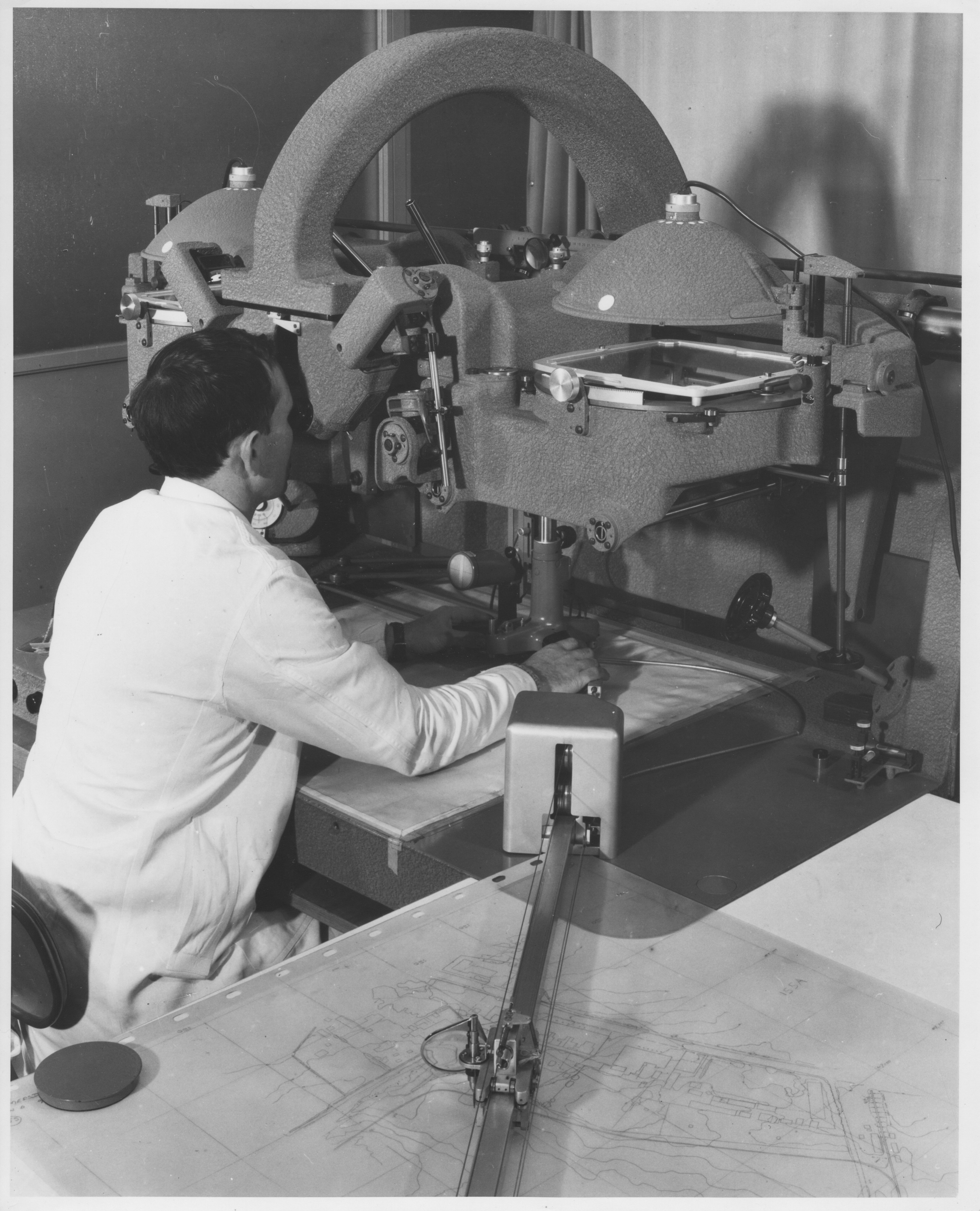
Mapping is carried out via aerial photography, either existing or specially commissioned. Plotting from these used to be done in analogue form from photographic prints via stereo plotting machines such as the Swiss made Wild A8 or Italian Stereosimplex G6. No longer of course, as with almost everything else, aerial photography is now in high definition digital format and worked on with computer software. Overlapping images provide 3D viewing by the plotter. Accuracy is approximately five metres in plan position and one metre in height. So much detail is provided that a skill is not including too much on a map! This is supplemented with in-the-field checks as required for new roads and bridges, changes in forestry etc.
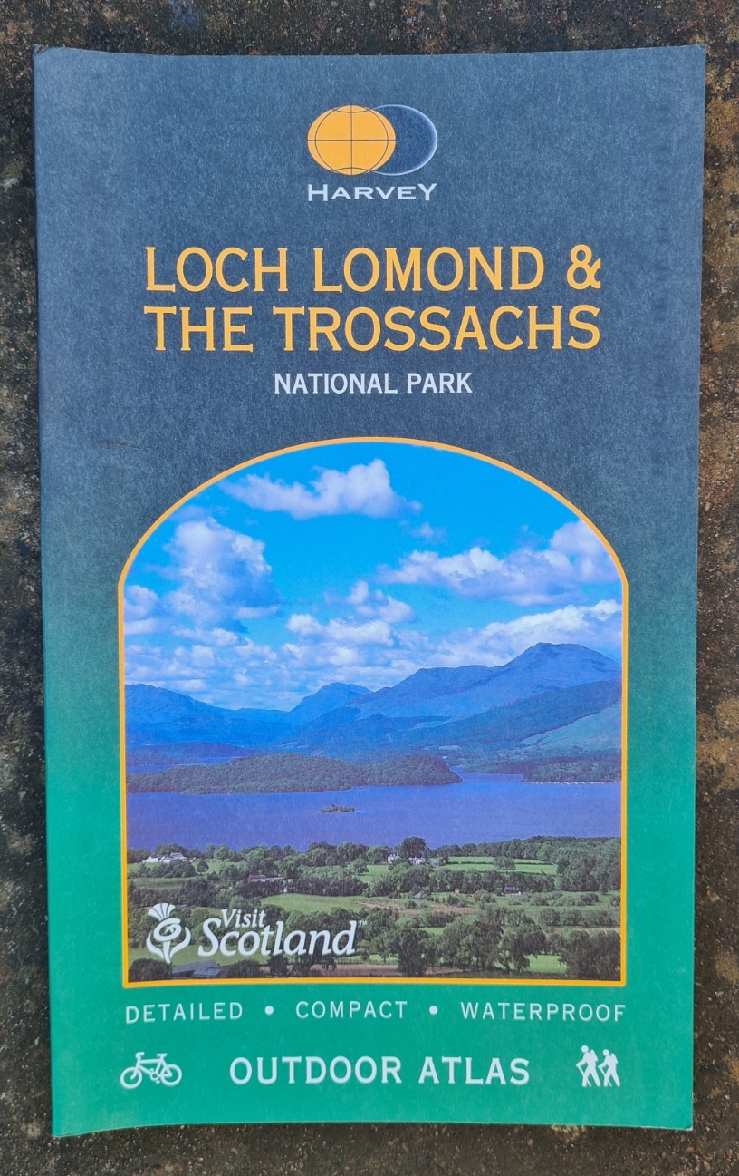

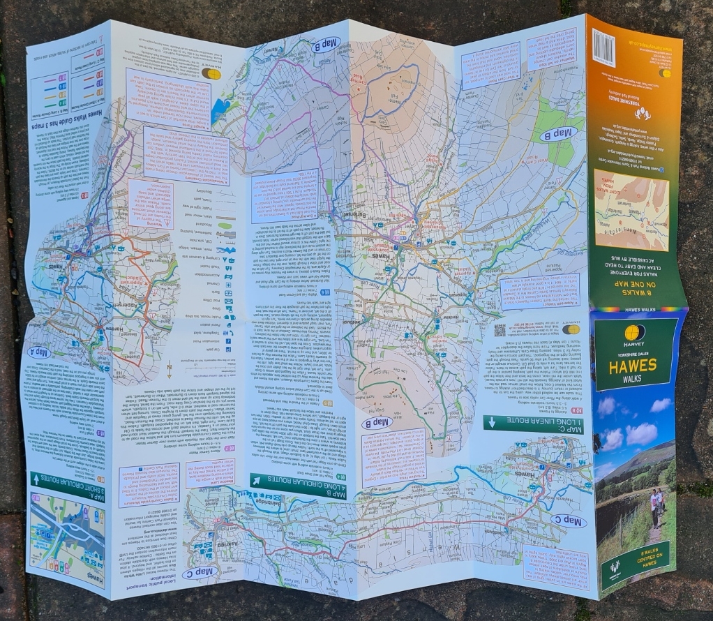
In 2002 Harvey started producing maps in partnership with the Yorkshire Dales National Park Authority. 15 maps were produced which included the first of their Outdoor Atlas. These are similar to a road atlas but are at a larger 1:40 000 scale. Measuring 140mm x 240mm these are as handy exploring a specific area by car as they are when taken on walks. When I explored much of the Loch Lomond & The Trossachs over the course of two summers, it was the Harvey Outdoor Atlas that I used most. As usual this is printed with waterproof paper, however not tearproof. The atlas is produced in a spiral bound format and sixteen of the more important villages/towns are included. This really saved my having to take a large number of individual map sheets with me but I found it more suited to planning and car use than while walking.
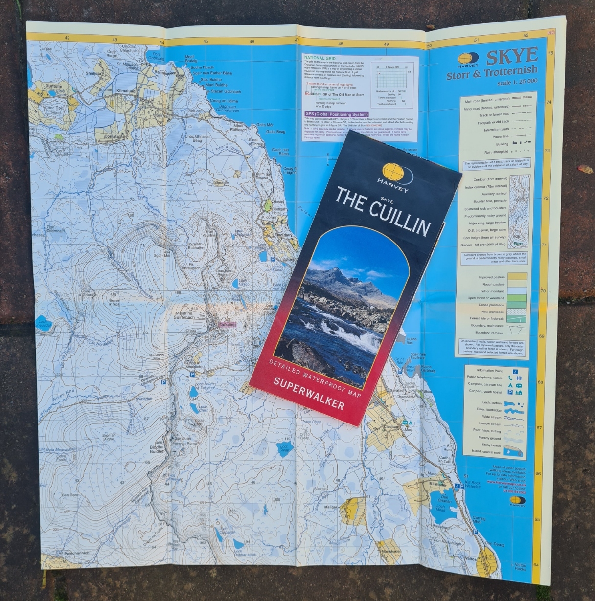
Harvey began printing a series of maps covering popular mountain walking areas. These were the Superwalker range, produced mostly at a scale of 1:25 000. this is a familiar scale for anyone used to the O.S. Explorer series and an incredible amount of detail can be included making them ideal for walkers despite a smaller area having to be included. A visitor guide used to be included on these maps, giving information on the area’s geology, history, fauna, flora and also short descriptions and simple maps of a small number of classic walks. A handful of Superwalker maps covering areas in Ireland, Northern Ireland and the Isle of Man were produced at a scale of 1:30 000.
“A good week’s walking on one map”
Harvey
In the 1990s, Harvey’s range of maps for those venturing into the outdoors was comprised of their superb Superwalker series, Walker’s Map series covering classic and popular walking districts in England, Wales and Scotland, their expanding Walker’s Route series (soon to be renamed) covering long distance trails, two Mountain Charts covering the Mountains of England and Wales, or the Munros, Corbetts and Grahams, and finally their Touring Map for Cyclists.
The decision by Harvey to print the Superwalker series of maps at 1:25,000 scale resulted in exceptionally clear, accurate, detailed, easy to read, and waterproof maps ideally suited for use on UK trails. These maps have become the core around which the Harvey reputation has developed. A series of route maps of National Trails and Long Distance Paths followed. The first, for the West Highland Way, was published in 1996. Within a few years there were over 40 titles in the range.
2002 saw the production of 15 maps in cooperation with the Yorkshire Dales National Park Authority.
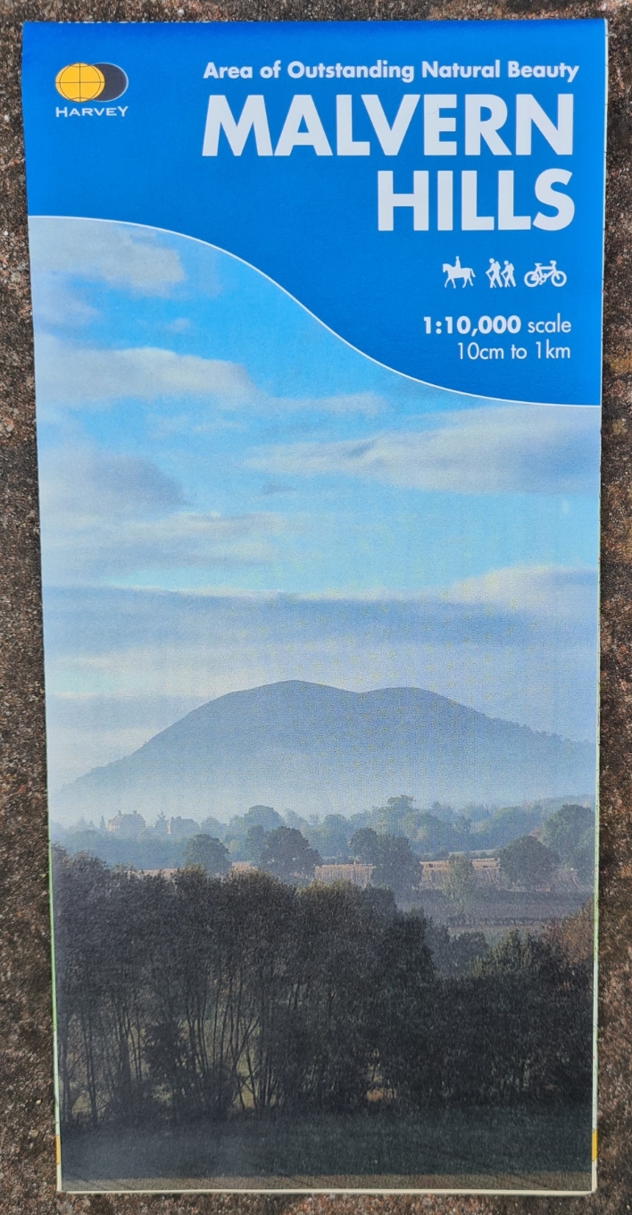
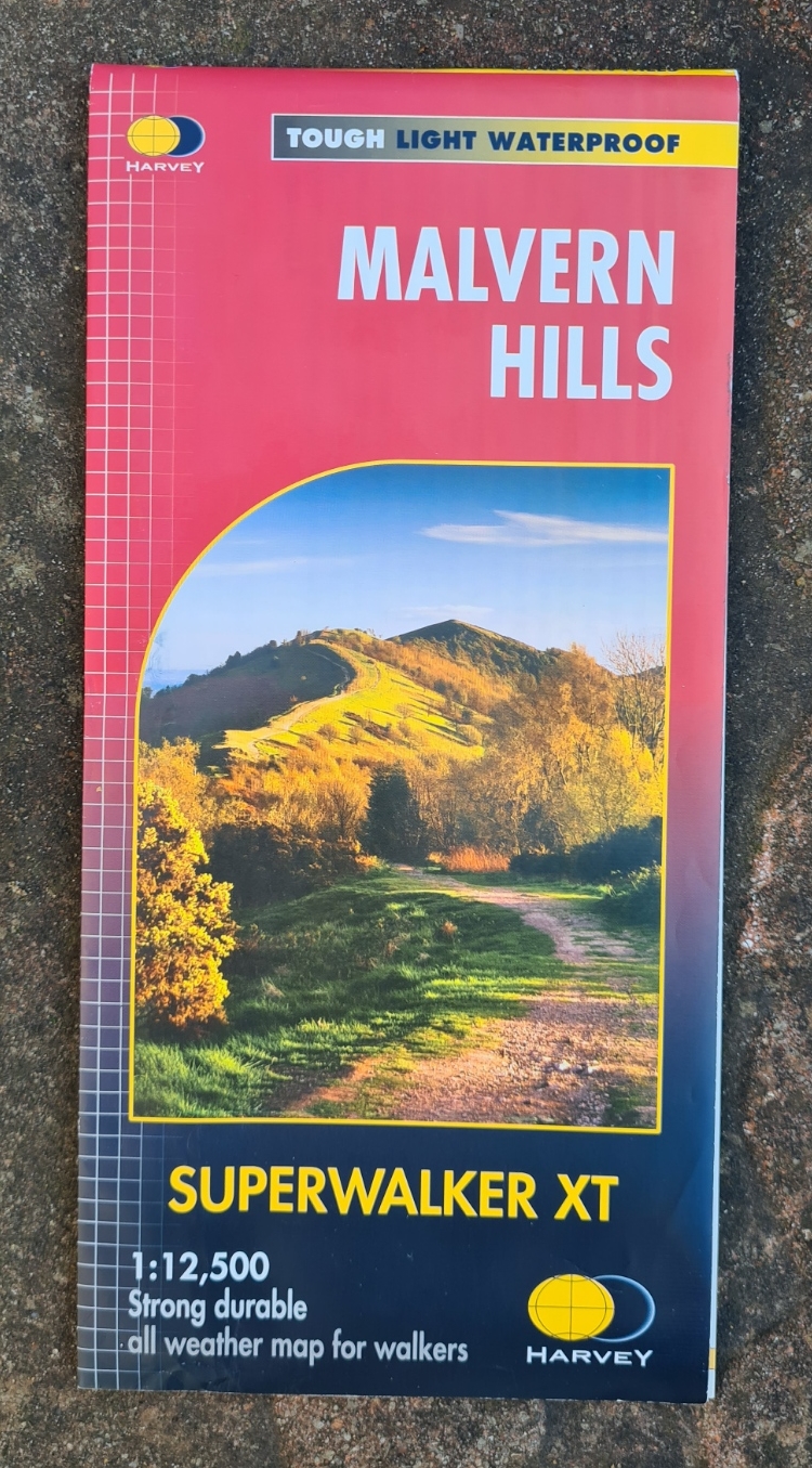
When I was planning walks exploring the Malvern Hills AONB with Mrs Three Points of the Compass, it was an up-to-date Harvey Superwalker map that I chose for our walks across some of the oldest rocks in England. Harvey’s earlier map for this area was at a scale of 1:10 000 and the detail covered both sides of the sheet, including information on the fascinating geology and archaeology of the area,. When this map entered their Superwalker series the area was resurveyed and the 32g map reprinted on one side only at a scale of 1:12 500. The earlier additional detail being excluded. A retrograde step I feel, and only carried out to bring maps in this series in line with each other.
Superwalker maps were redesigned in 2014 and many became double sided and concertina folding. Combined with being tearproof it is hard to see how a ‘paper’ map could be more suited for on-trail navigation where a defined linear path is not being followed.
Harvey have steadily increased the range of maps they produce over the years., The first of their really useful Trail Maps was released in 1996 and the West Highland Way sheet was the first printed. Harvey have dedicated themselves to producing maps for all of the National Trails, Scottish Great Trails and many other Long Distance Routes in the UK. Frequently they have managed to fit a whole trail onto a single sheet by putting strip maps across panels and this dramatically reduces the weight of mapping carried compared to the number of O.S. sheets that would be required. Longer trails are spread across multiples. Two maps for the Pennine Way and three for the South West Coast Path for instance. National Trails in Scotland are now classified as one of Scotland’s Great Trails and it is this designation shown on Harvey maps. It should go without saying but not all mapmakers do, the National Grid is included on all of the Harvey maps.
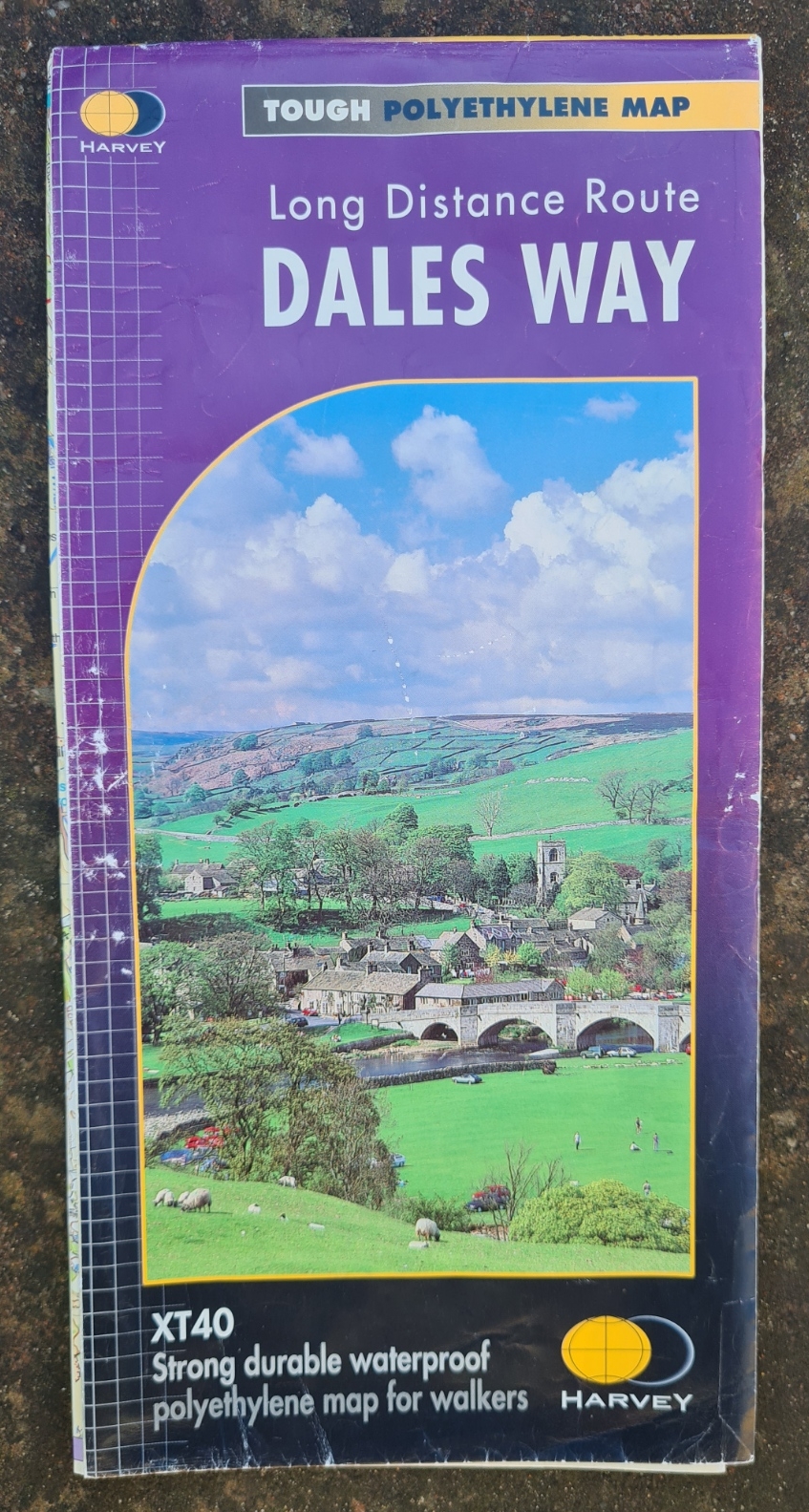
It is the 1:40 000 Harvey Trail Maps that Three Points of the Compass has used most. The first I purchased was for the beautiful Dales Way Long Distance Route. This was the first long distance linear route that our family of three tackled together. On the Dales Way our family got rained on, snowed on, hailed on. The sun beat down and it blew a hoolie. A typical British selection of weather over the course of a week actually. We enjoyed our walk immensely and other long trails followed before the two sensible ladies eventually decided they would leave me to again pursue such walks solo. I still have that map. It is worn, crumpled and battered but could easily be used tomorrow if wished. Who knows, I may yet walk that trail again some day. Never get rid of old maps, sacrilege!

The National Trail and Long Distance Route maps from Harvey do have a fault. They are, to a large extent, strip maps, frequently only showing a few miles to each side of a path. This is usually no issue if closely following a linear route, but if weather, injury or the need to restock drives you off a trail, you can only go so far before you walk off the map. It is less of an issue than you might think but you do also lose some of the ‘bigger picture’ along with name and detail on distance tops and features that you might wish to navigate by.
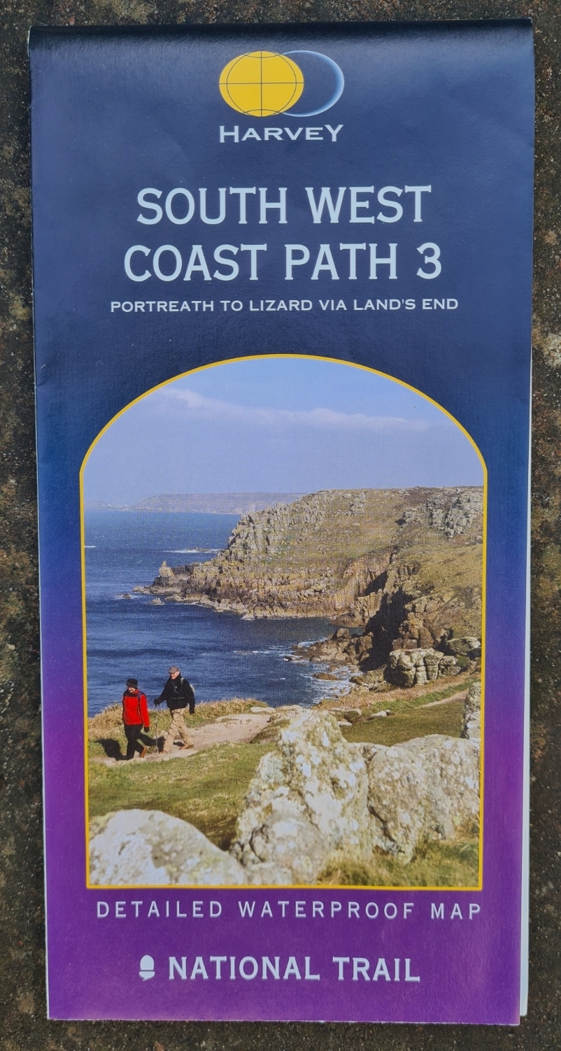
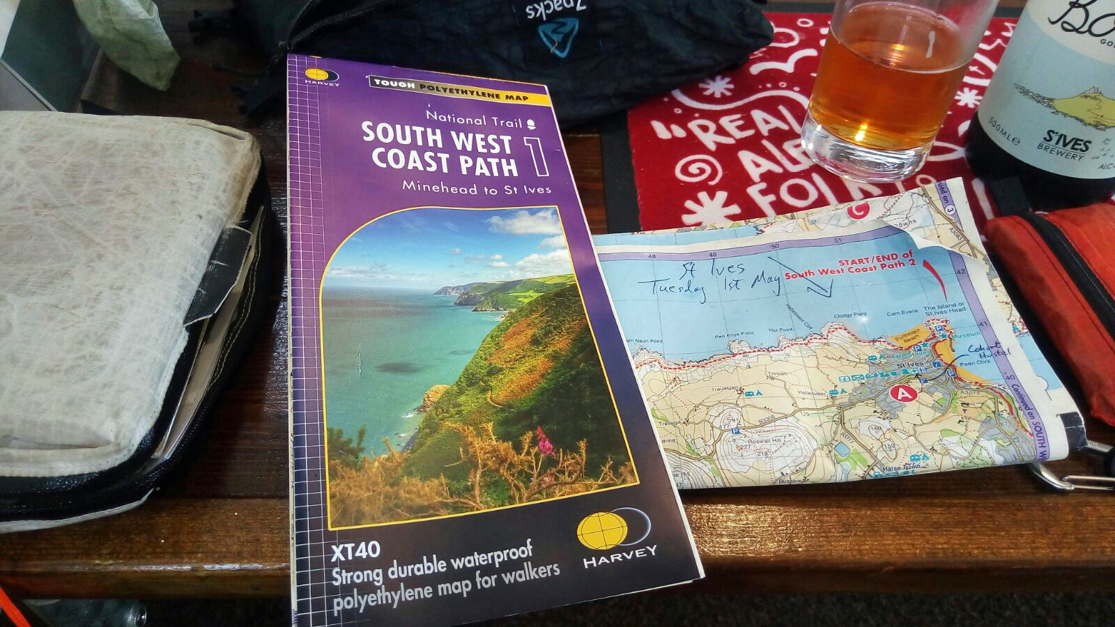
These maps have (mostly) improved over the years. The first Harvey maps that I purchased that covered the South West Coast Path were printed on one side only and on an extremely durable weight of waterproofed paper rather than the synthetic waterproof paper employed now. In 2013 the 630 mile trail was spread over six maps, each weighing 86g, over half a kilogram in total. The tear resistant polyethylene ‘paper’ now used by Harvey, which I believe is sourced from Polyart, is possibly not quite as durable as the older heavier weight but I have found that while creases will get a little worn and print faded, everything stays together under hard wear and I have never actually destroyed any maps I have used in particularly foul conditions.
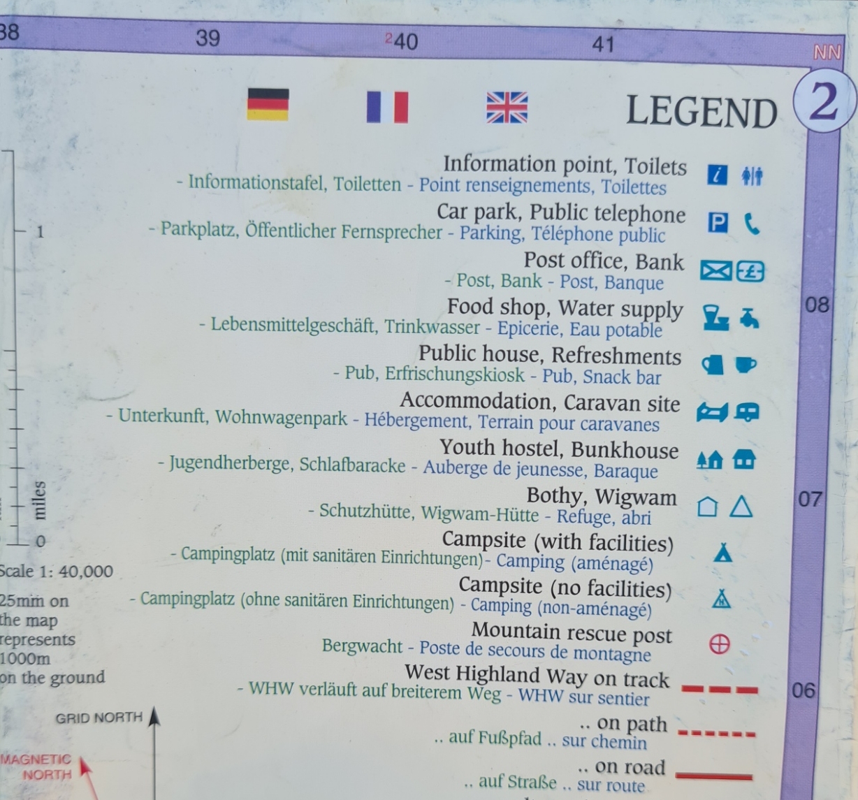
I find that Harvey maps often include a little more useful information than O.S. maps in more easily digestible form- shading, designated paths, crags, changes in land use and woodland coverage. Some additions over O.S. maps are appreciated- location of water taps for instance, other detail is sadly excluded- churches for instance. Contours are frequently shown at a less cramped spacing than on O.S. maps making a map less cluttered. Usefully, contours change colour from brown to grey where the terrain is predominately rocky outcrops, small crags or other bare rock. The change in colour is subtle and easily missed. Once used to the stylistic quirks, a lot of information can be gleaned at a glance. Beside that, dare I say it? Harvey maps can frequently be quite beautiful.
Ordnance Survey maps are exactly that, officially produced maps that have to include administrative detail that is superfluous to anyone walking across a field- county, unitary, civil parish boundaries etc. These mostly just clutter a map. Important detail for those who need it, but not us. But I still retain a deep and long-standing personal fondness for the O.S. offerings.

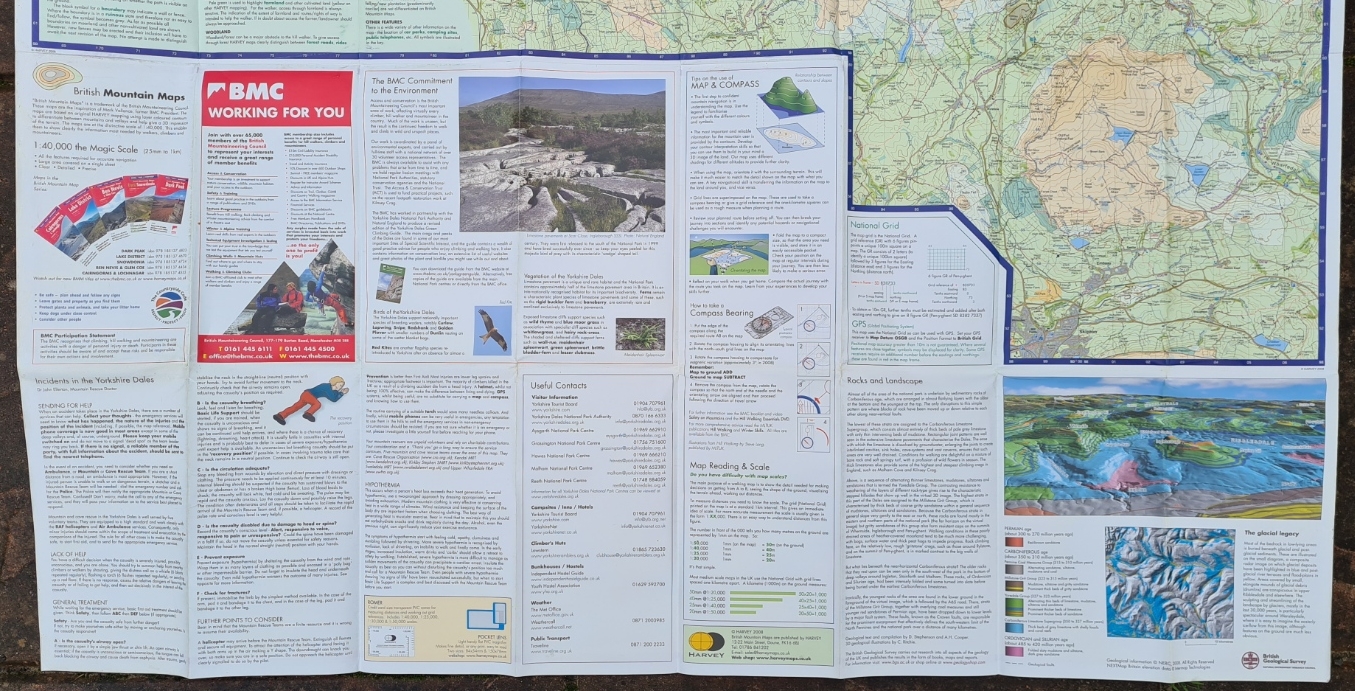
In 2005 Harvey collaborated with the British Mountaineering Council (BMC) to start production of the British Mountain Maps. Specifically aimed at hill walkers, climbers and mountaineers, these are drawn at a scale of 1:40 000 (XT40) and cover a wider area than the Superwalker maps (which are 1:25 000). The first map covered the Lake District. There is often a 1:20 000 enlargement of the most popular summits included on the reverse. Three Points of the Compass has less experience with these maps than with the Superwalker and National Trail sheets but the detail included is fantastic. For instance, the names of gullies and crags not marked on other maps is found on these. Now you too can sound like an informed and knowledgeable expert! Collaboration also included the British Geological Survey and geological maps of the area covered are included. This last extra detail has proved to be less popular and is probably mostly ignored by the great majority of users. Partly due to its necessarily limited scope.
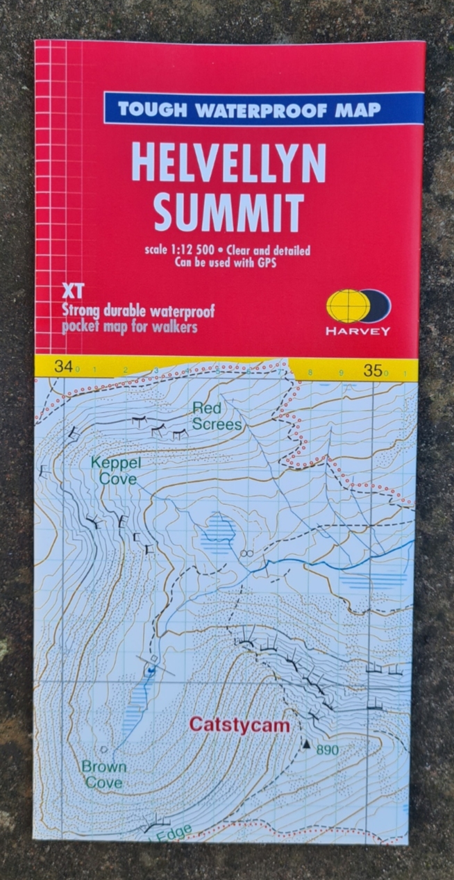
Excerpts from their larger maps, the small range of 16g Summit maps that Harvey produce are niche indeed. Summit maps are at the convenient scale 1:12 500 that is a good trade off between fine detail on the ground while still permitting a large(ish) area to be covered on one sheet. These permit complex navigation in often difficult terrain on popular mountain summits. To my mind however, it would be advisable to carry the full size 1:25 000 sheet in preference to simply a summit map.
By the time I finally walked the South West Coast Path in its entirety, Harvey had outsourced the printing, paper weight had dropped and the National Trail sheets were double-sided. By 2015, just three sheets weighing 183g in total covered the whole trail. This was a huge reduction in weight from the previous maps. The map scale remained the same at 1:40 000 but Harvey had also got cleverer at snipping and reproducing the map strips across the sheets.
I carried the three maps from the beginning of the trail at Poole, posting maps home as I completed them. I found Harvey maps equally as useful on the 177 mile Offa’s Dyke Path (2 x 62g) and especially so on the c230 mile Cape Wrath Trail (2 x 62g) when crossing the wild Highlands of Morar, Knoydart, Torridon and Assynt. I actually carried custom designed 1:50 000 O.S. maps with me as well on the Cape Wrath Trail but barely looked at them as the Harvey maps proved more than adequate.
One really useful planning aid for my Three Points of the Compass hike across mainland Britain in 2018 was the Long Distance Path Chart (revised edition) published by Harvey in 2002. This chart is a companion to the equally as informative Long Distance Walkers’ Handbook and the two are best used in conjunction.
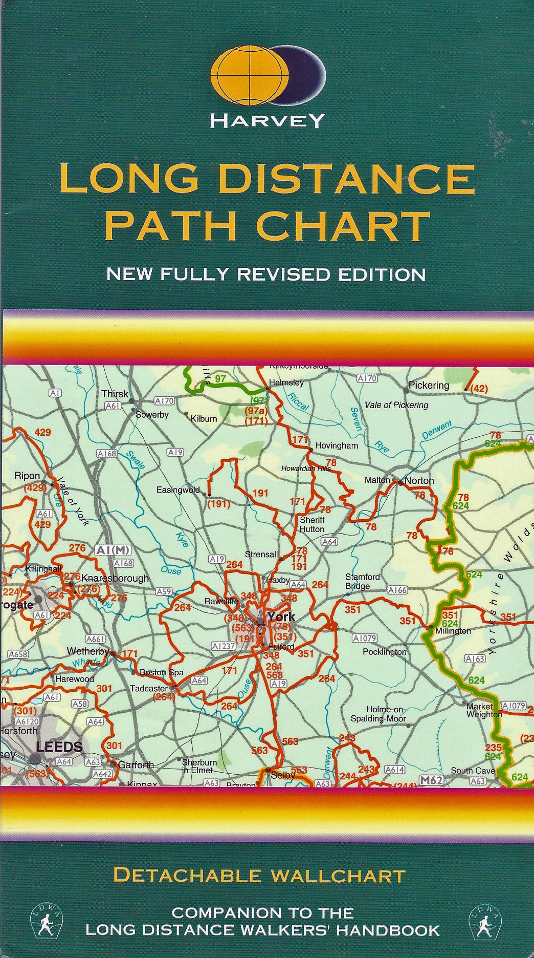
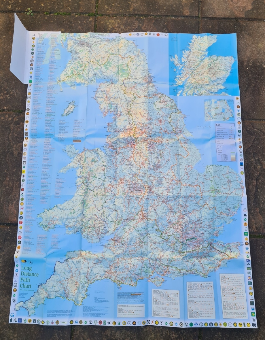
Sadly, this Harvey chart is now out of print but can still be found online. Some might say that this sort of planning can be more easily completed on a computer screen but sometimes nothing beats spreading map sheets across a floor and seeing the bigger picture such as how a planned route fits in to the landscape beyond.
Unlike many walkers these days who prefer to navigate with their phone or Garmin, Three Points of the Compass usually carries a ‘paper’ map on trail. For day walks I will normally have an O.S. sheet or two with me. But if I am on one of the longer ‘named’ trails, then I am invariably packing along the Harvey maps that covers it. That said, I did use Footprint maps while hiking the Speyside Way and Great Glen Way last year. If I get round to it, I’ll have a brief look at those maps in another blog. But, planning is afoot for hiking this year, so together with some guide books, a handful of new maps have been purchased.
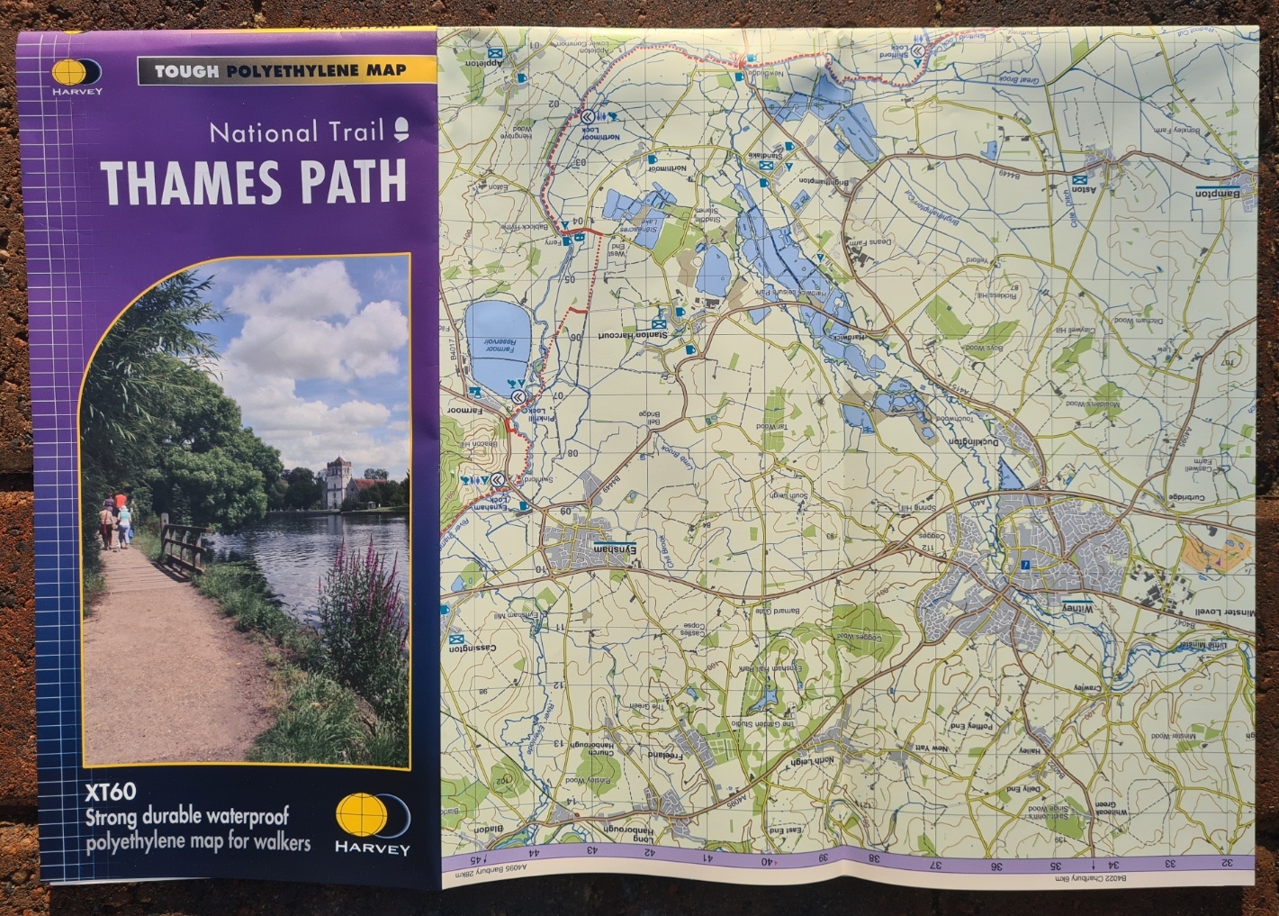
Mrs Three Points of the Compass has, remarkably, agreed to rejoin me for a longer trail in the UK and will be accompanying me for a summer amble along the first half of the Thames Path National Trail. This will not be a backpacking trip and the need for more upmarket overnight accommodation has been instructed requested. The entire 184 miles of the Thames Path is squeezed on to a single 54g Harvey National Trail map at a scale new to me- 1:60 000 (XT60).
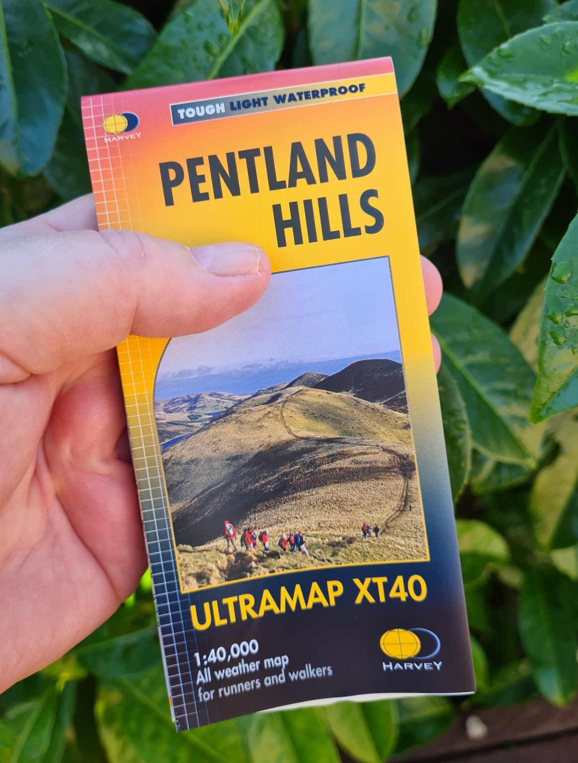
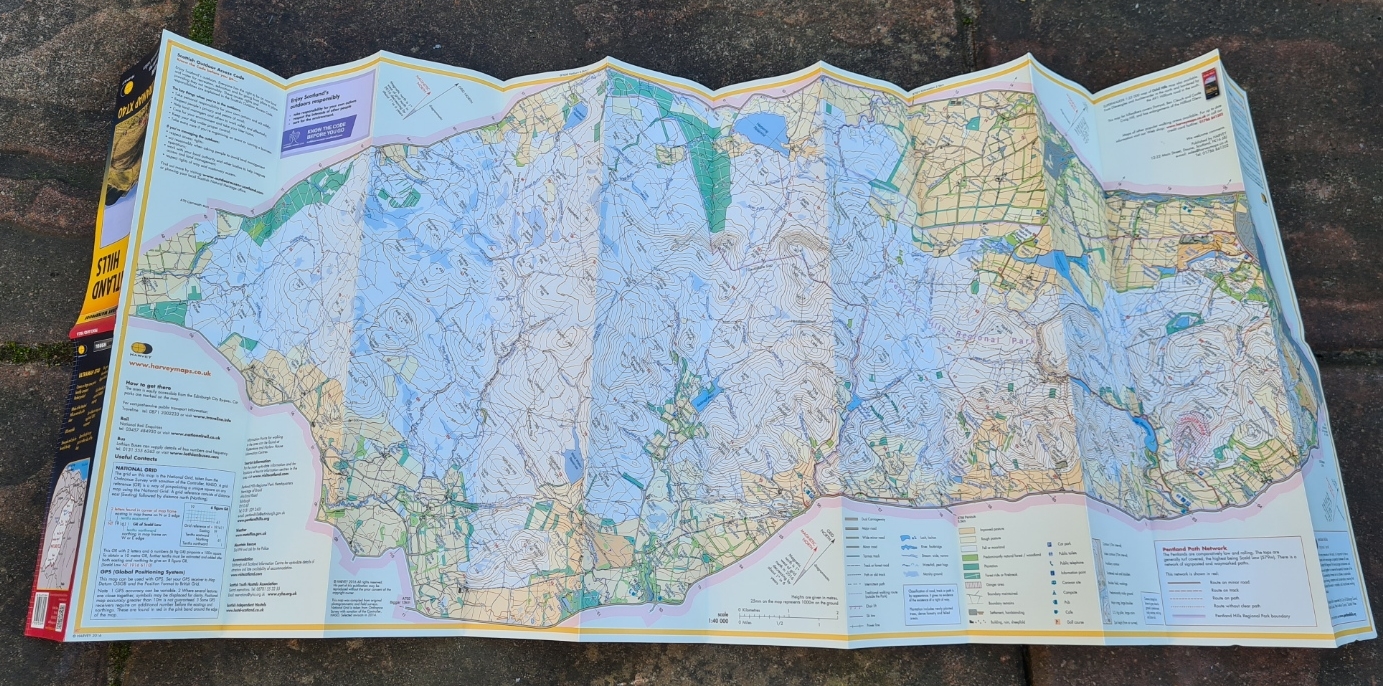
One of the most generally appreciated innovations from Harvey was the introduction of their Ultramap in 2016. Produced to a much smaller than normal format, these 24g ‘pocket-sized’ waterproof 1:40 000 (XT40) double sided maps have a newly introduced concertina folding format to make them easier to handle, especially in adverse conditions. They may yet tempt back a few of those map readers who moved to digital devices. Or there again, maybe not, as some digital viewing apps now include or use Harveys and some Harvey maps are available as digital downloads. You can, of course, print your digital maps out onto waterproof paper, but they are never going to be as well formatted and clear as the Harvey sheets.
Traditionally, Harvey maps have been sold in a clear plastic slip case. Frequently abandoned by owners, increasingly buyers are being offered the option of additionally adding and purchasing a protective slip case, or not. While perhaps useful for protecting them on the shelf, they are not really necessary with a waterproof map so if I have the option, I refrain from buying these now. Lets all save the planet, one step at a time.
Away from the more dedicated climber, scrambler, fell walker and backpacker, Harvey have also reached out to the general public who simply want a few decent low level walks from a central location. This is a burgeoning market and it remains to be seen how successful their Day Walks series will be. Not found on any other maps they now produce but to be expected in this format, directions are included on these maps. It is interesting that Harvey used to include similar detail on their Superwalker series of maps, then took the decision to exclude it and have now decided to maximise opportunity from their existing mapping resources by diversifying their product portfolio.
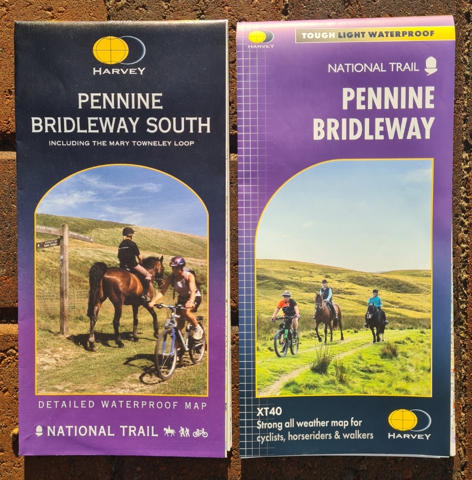
I backpacked the Pennine Way a few years back, carrying the two A-Z Adventure maps in book form (113g and 118g) that covered the trail. I enjoyed my tramp along the spine of England so much that I am excited to be returning to the region this year. This time to backpack the Pennine Bridleway National Trail, following the Pennine Hills from Derbyshire to Cumbria. This trail doesn’t get a great deal of attention, partly because it hasn’t yet been defined for its entire length and partly, I suspect, because of its name. It is a walking trail, combined with a cycle trail and a bridleway, though the three separate at times. It has been a long wait for the various authorities to get their act together and get all of this this trail nailed down as an official route. In the interim Harvey had produced a Pennine Bridleway South map in 2004. That 82g sheet, printed on one side, covered the first 121 miles. In 2021 Harvey seem to have lost patience. They have got on with the job of producing a sheet as no one else has. They have committed the whole trail running between Middleton Top and Ravonstonedale to a map. This is the route that most people ‘in the know’ accept will be the final trail. This single-sheet map is welcomed by many and is, I believe, a unique printed resource. On the lighter paper used for some years now, the 205 miles are covered at a scale of 1:40 000 and the 60g waterproof map, printed on both sides, will (hopefully) be accompanying me later this year.
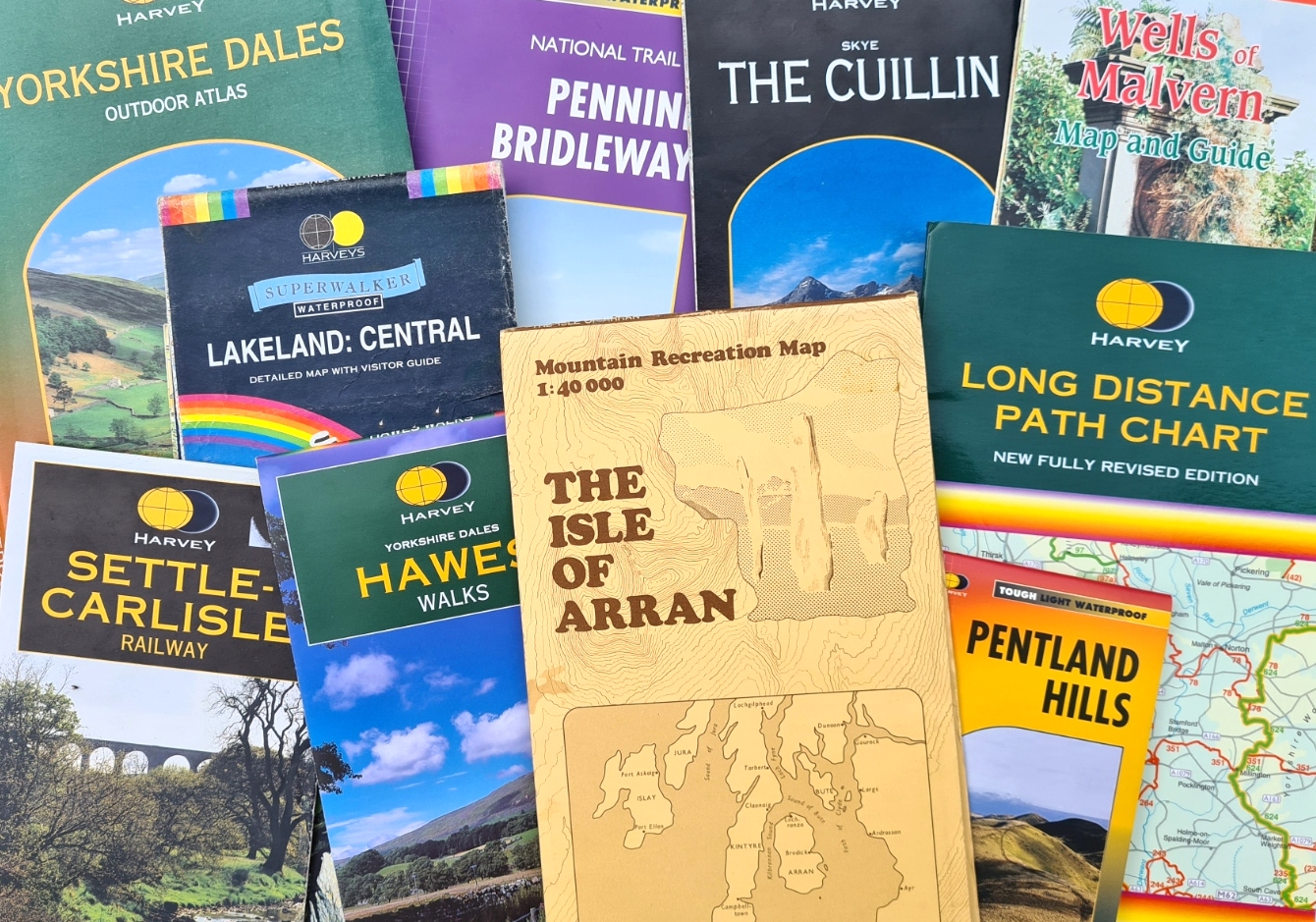
Three Points of the Compass has only purchased and used the various Harvey map series shown here but note that they also produce maps for cyclists, challenge maps for fell runners (not only for the Bob Graham Round but also for the Frog Graham Round!) and have branched out into sheets covering Canadian National Parks and areas in Greenland. Maybe one day I’ll have need of those…
I have some hiking and backpacking plans in place, some mentioned above, so there may be another Harvey map or two joining me on trail over the next couple of years. More on that in future blogs.
Three Points of the Compass shall continue buying O.S. maps alongside those from Harvey, horses for courses and all that. I try to buy and use the map that is most suited to an area or trail. O.S. maps can often show a little more of the historical information, usually in symbol form, that I find enhances a walk and can be more useful in the planning stages of a walk. O.S. maps also cover the whole of the UK in different scales while Harvey are still piecemeal. But on longer linear trails, I find that if there is a Harvey map available, that is what I will often use, supplemented by O.S. Maps on my phone as an emergency back-up. There is, alternatively, the very occasional other map from a rival cartographer that finds its way in to my gear list instead of those from the O.S. or Harveys. But for UK walking, these two are the premier suppliers of precise and accurate mapping. If the above comes across that Three Points of the Compass is a fan of Harvey maps, that is because we are.

Fascinating piece of work. Never got on with Harvey maps but that’s a case of me not trying hard enough I think. Will definitely revisit them on a few walks this year.
LikeLiked by 1 person
Thanks for commenting Andrew. I confess that it was a step change for me too, when I first used Harvey rather than O.S. I am comfortable with it now, but back then I felt I was somehow cheating on someone!
LikeLiked by 1 person
Big Harvey’s fan here. Each to their own, but I find them so much clearer to read than the OS Explorers. In mountainous areas, OS’s desire to show every little outcrop, crag and area of scree in minute detail – to me, you can’t see the wood for the trees. Give me Harvey’s every time. Failing that, a good old fashioned Landranger!
LikeLike
Though of course, the zoomable feature of digital O.S.Maps et al does make usage and clarity for most ‘serious’ users these days, much clearer and more manageable. ( I still prefer my paper maps, though…)
LikeLike