
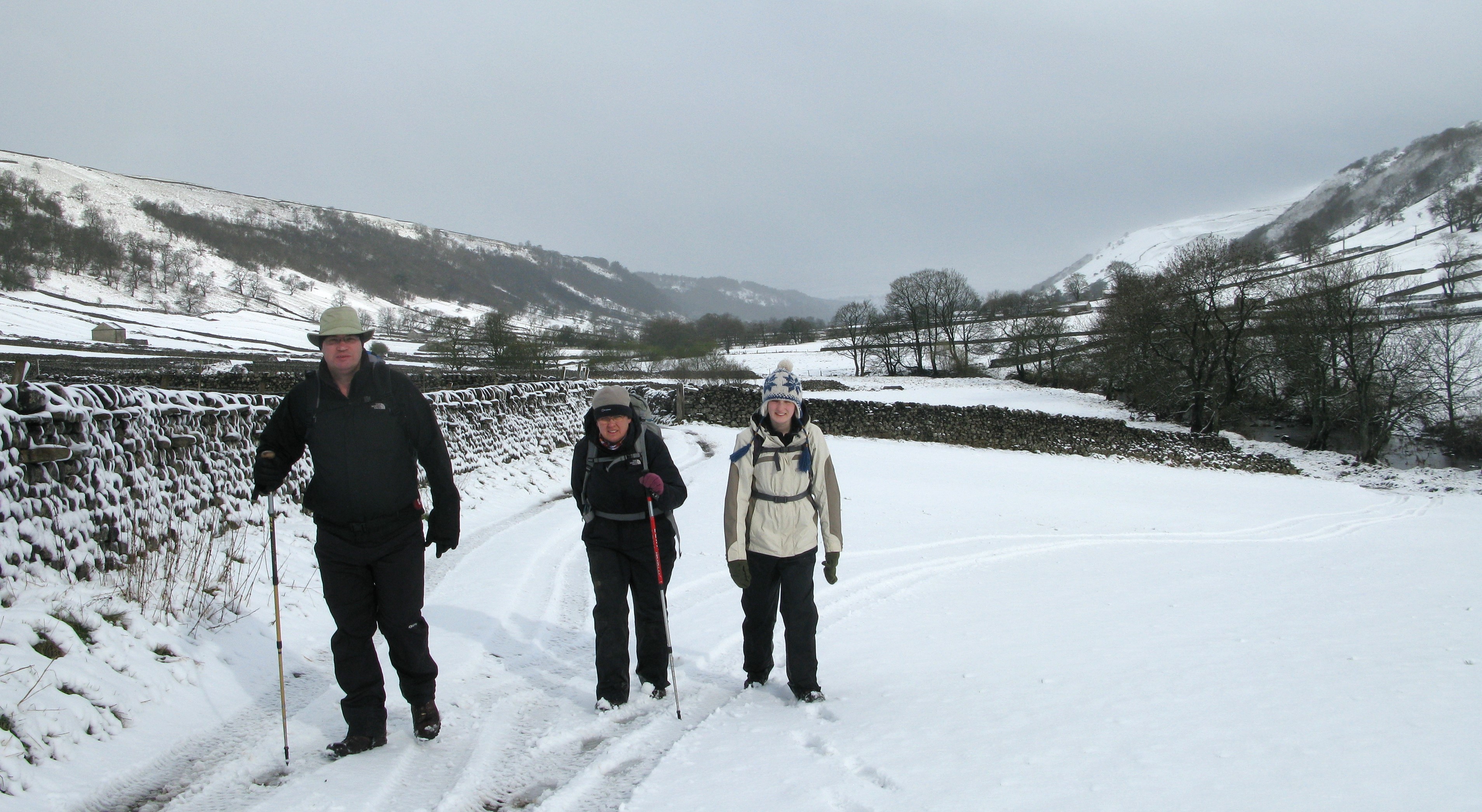
Day 12. Settle to wildcamp at Thwaite Scars. 12.54 miles, 2194 feet ascent
Once Settle’s boy racers had got bored and gone home, the road outside my open hotel window finally went almost silent and I slept well in a comfortable bed. I was up six hours later at seven-thirty to pack before going down for my breakfast an hour later. Sadly, it was a below average quality Full English using sub-standard ingredients. I wished I had instead opted to walk a little way down the road to the Olde Naked Man Cafe that has a good rep for their breakfasts but that would probably have meant a pretty late start to my day. I finally got away from the Royal Oak at nine-thirty and from there it was a steady climb out of Settle back on to the trail. I had the path to myself as most day walkers and cyclists seem to leave Settle by the other arm of the Loop. Once I was at the northern junction waymarker post for the Settle Loop it was then a short section of road walking, only being passed by a farmer moving sheep around in a rattling trailer behind his Land Rover and one other car. It was bright and sunny without a hint of the rain yet again heading my way.
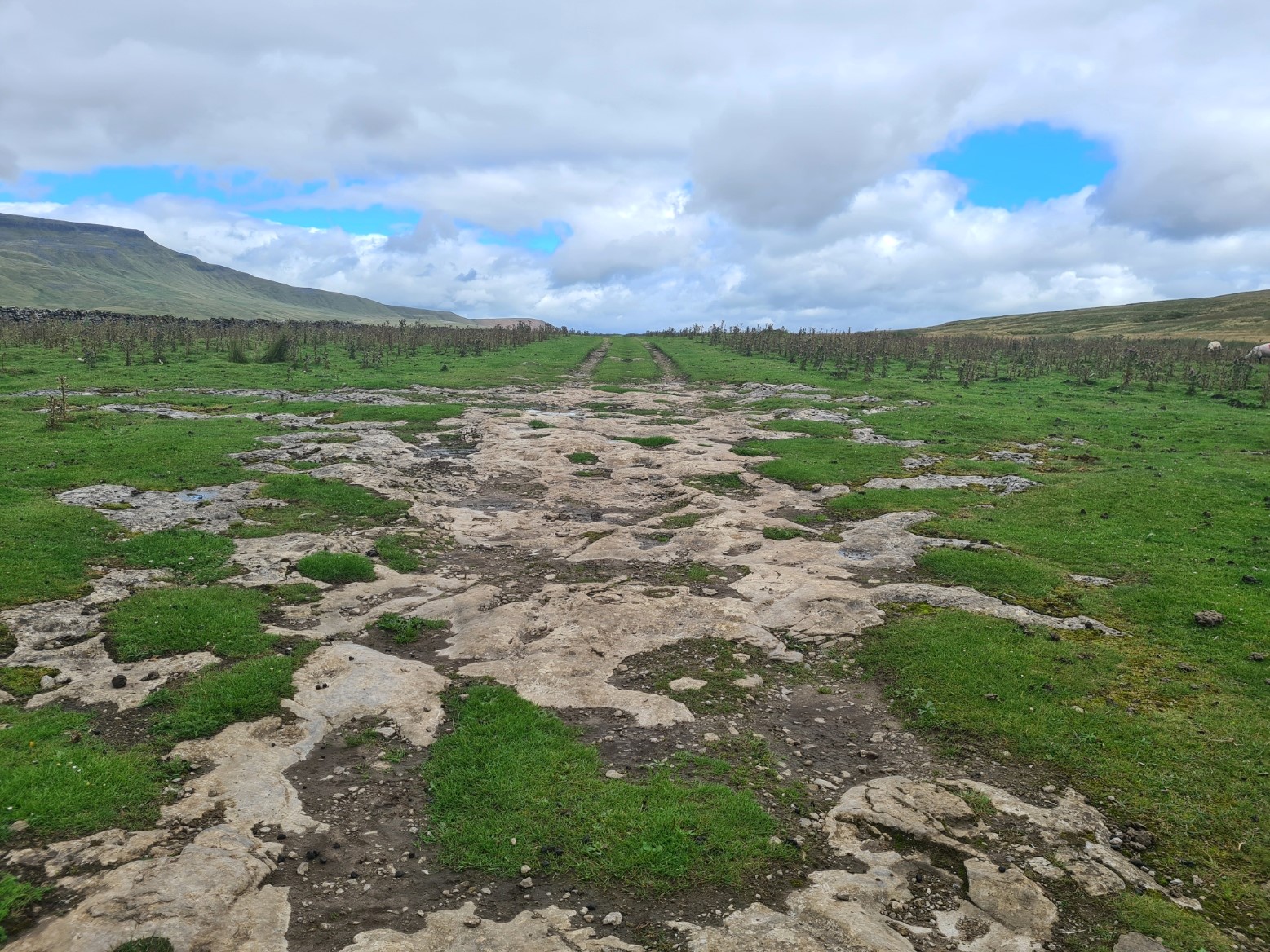
This is pretty walking, but I was being annoyed by the flies that began to attach themself to me. They weren’t biting, just whizzing round my head and settling on my bare skin. It was one of those days where they seemed to be in excessive abundance. I might have thought it was just my hiking funk that they were attracted to but the few other day walkers I encountered during the day all confirmed they were being plagued as well.


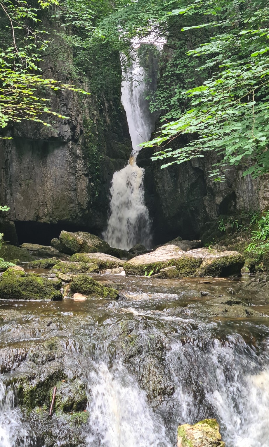
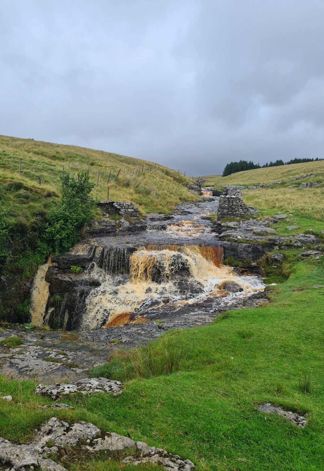
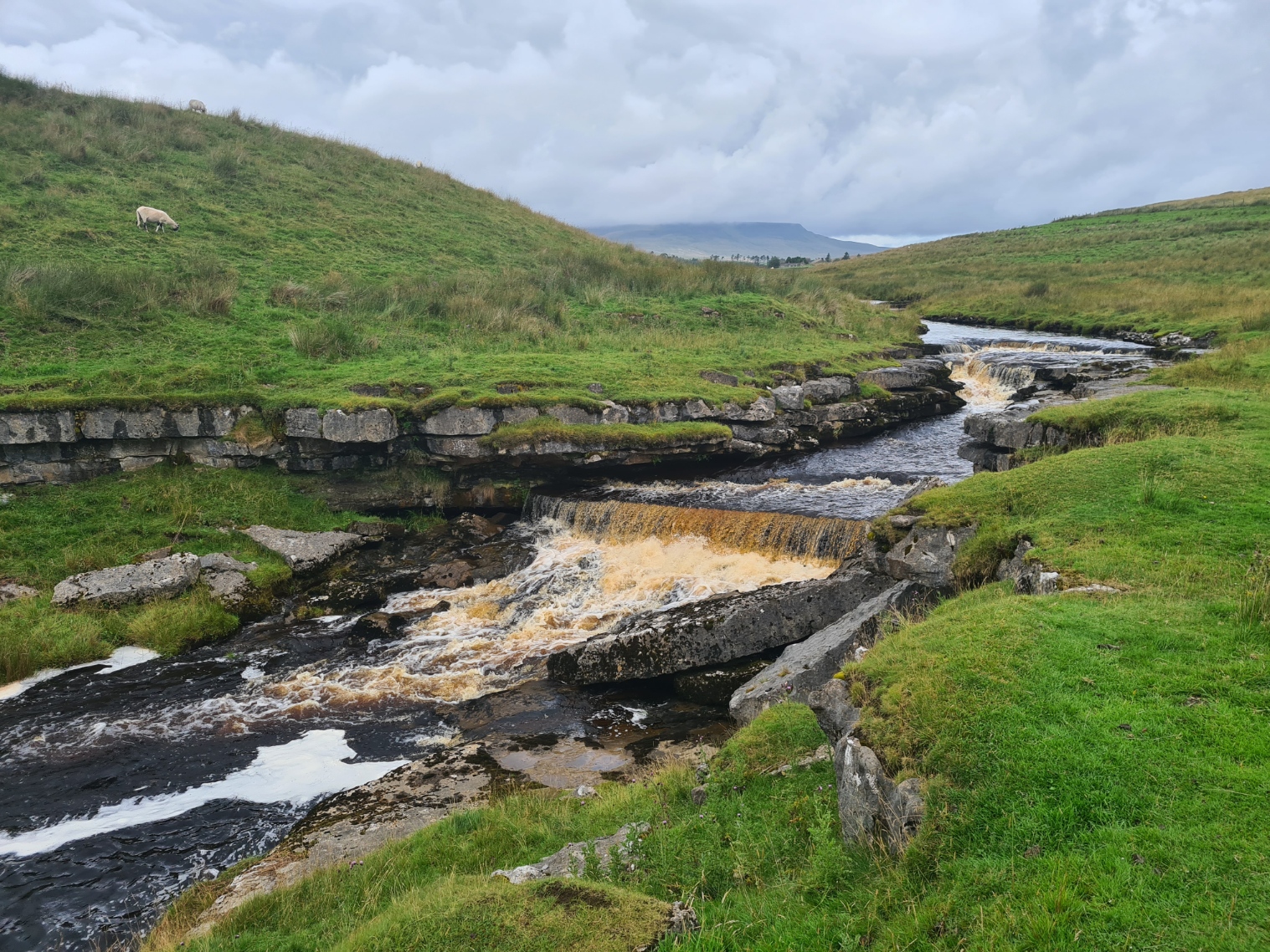
Leaving the road again at the farm at Upper Winskill it wasn’t far to Catrigg Force waterfall, only a few paces off trail. This unconformity has been caused by the North Craven Fault, part of the Craven Fault System. This is a geological slip and the subsequent removal of overlying rock by glacial action was also responsible for bringing the impermeable slates to the surface that had created Malham Tarn, seen on yesterday’s Settle Loop. I thought I might be able to pause for a water and snack break at the waterfall but the flies were really annoying me so after simply viewing top and bottom of the falls, I moved on down trail into and immediately out of Stainforth.
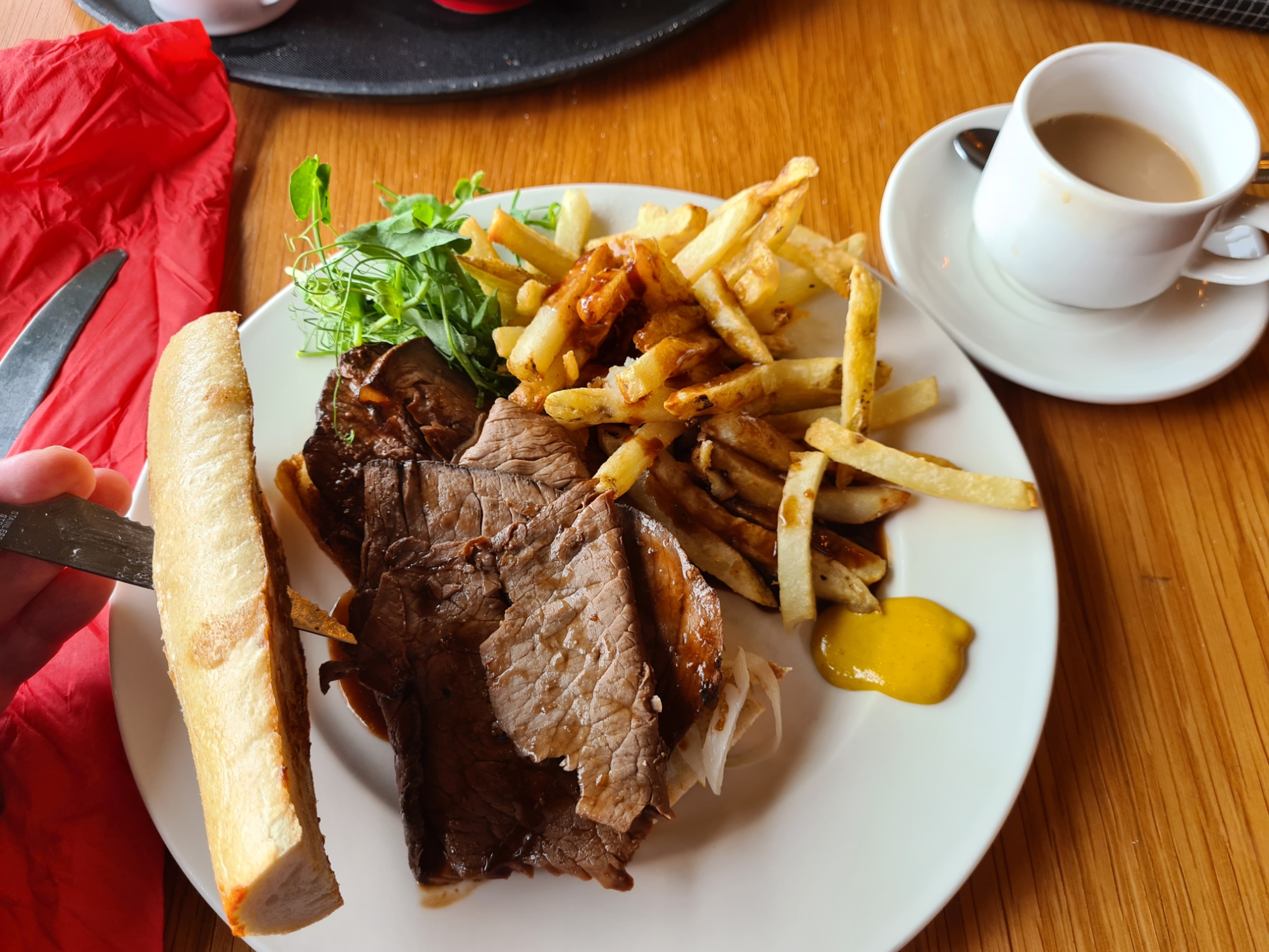
Climbing up the road out of town, muck spreading was underway in the field on my right. If the flies around me had been bad before they now became intolerable and on reaching the cafe at the Little Stainforth campsite I almost ran inside in an attempt to escape them. I immediately declared a break from the onslaught and ordered a pot of tea. It was only mid-day and I wasn’t stopping overnight at this site nor did I have any intention of eating there but saw they had hot roast beef rolls on offer. Yet again serendipity had placed a decent halt beside the trail at the perfect time. An hour later I exited, the flies had gone to annoy others and my higher, slightly more exposed walk then had enough of a side breeze that I remained untroubled by them. There may have been a large hatch underway as the fields on my left were thick with corvids, mostly noisy Jackdaws and Rooks. Passing them I had expansive views off to the Dales which were added to by the impressively large quarry works that my road and route slowly descended to.
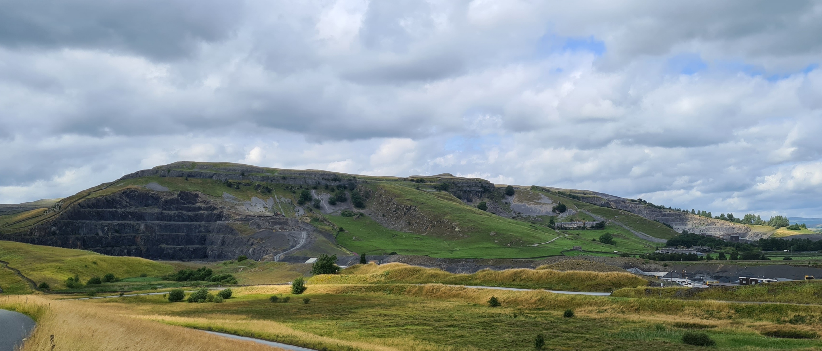
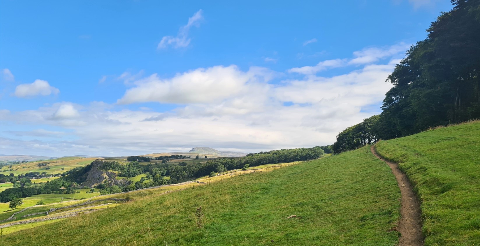
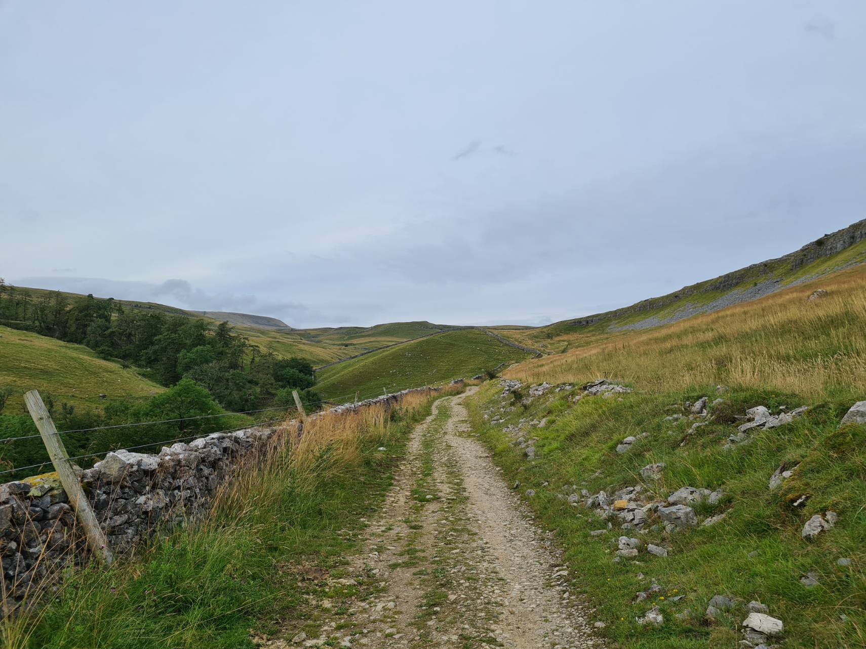
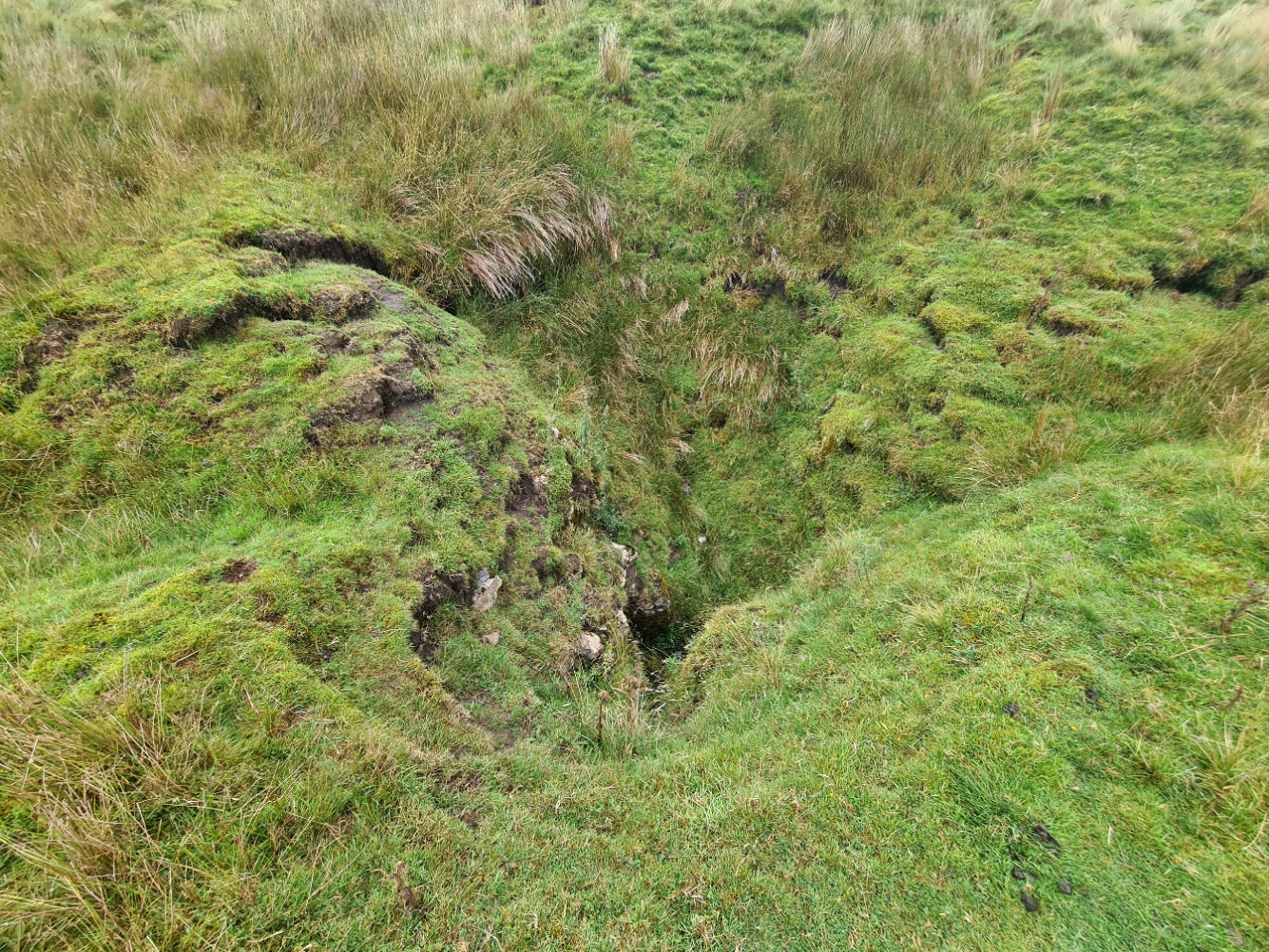
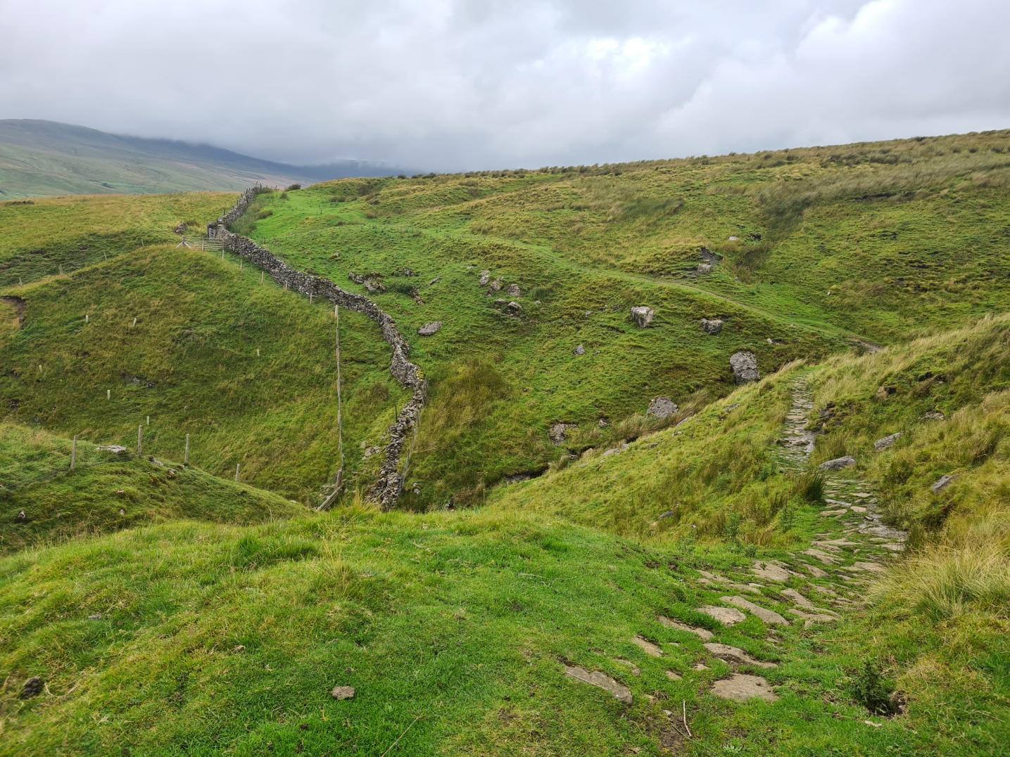
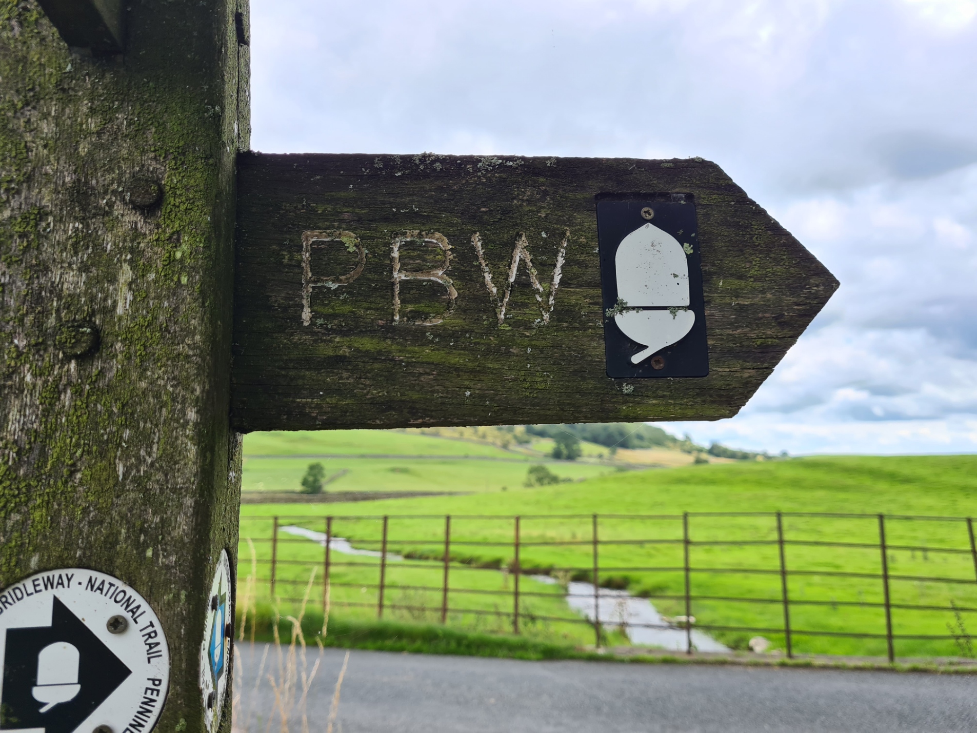
The two immense quarries of Dry Rigg and Arcow arouse diverse local comment. Some feel that the continued work here has no place in a National Park, others cite the importance of the stone and quarry for road building and local employment. The Pennine Bridleway left both the quarries and road to climb up and over to the little village at Feizor. This is popular walking country and there is the well-known and busy Elaine’s Tearoom here, but, remarkably for me, I walked straight past it, not feeling a need to halt as it is only another four miles or so toward Clapham. Nearing that town the path sharply doglegs and begins a gradual climb up to the rocky Thwaite Scars

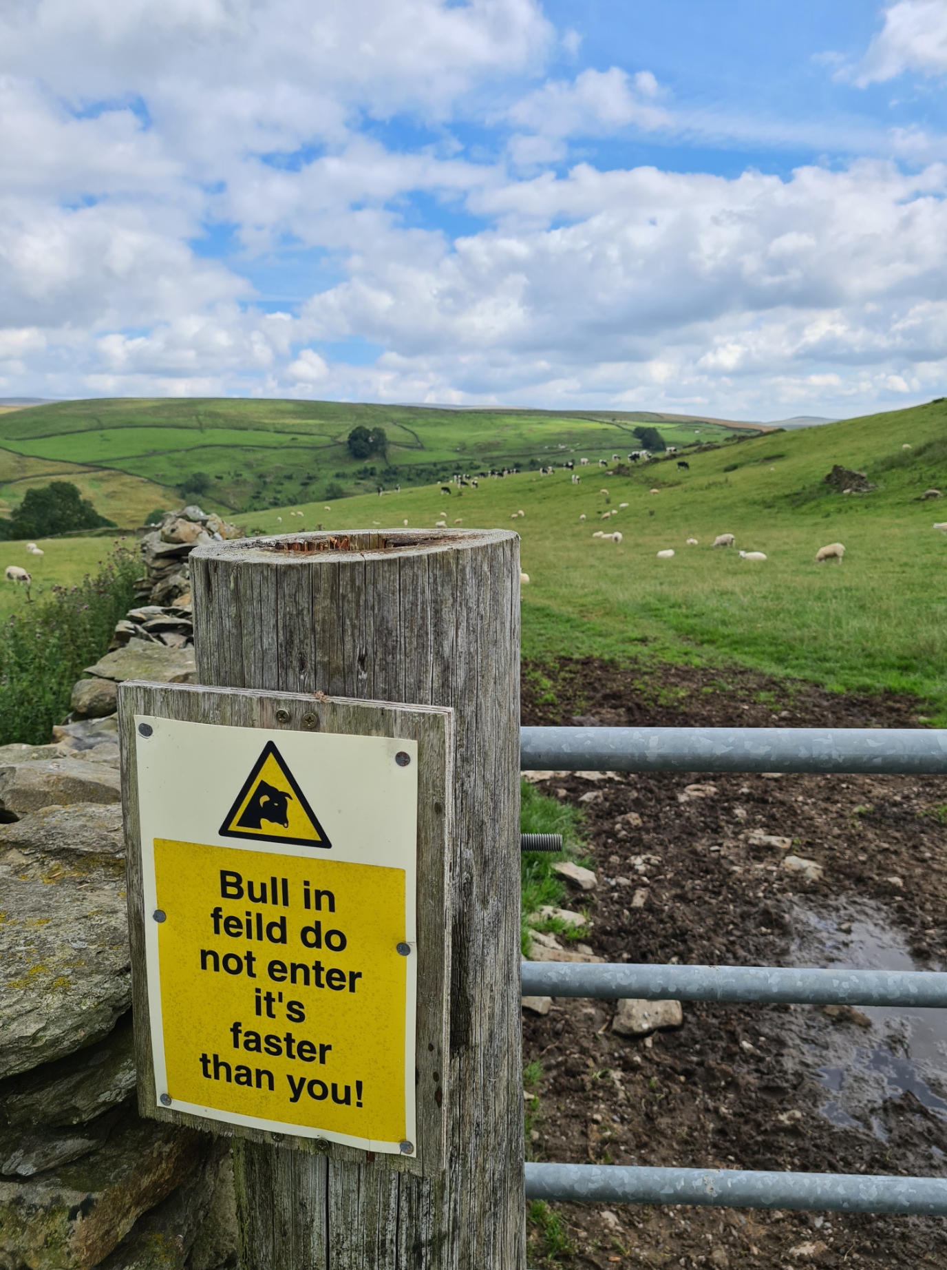
It had begun to cloud over and I had seen from the weather forecast that the weather was set to deteriorate badly overnight, and I began giving some thought as to where I might wildcamp. There was quite a bit of farming around, livestock in the fields with consequent farmers on quad bikes out, and also increasing numbers of dog and day-walkers around so it might prove difficult. I had thought I might be able to tuck into a woodland in the little valley that runs down from Ingleborough Cave to Clapham but it was mostly inaccessible and also unsuitable.
It pays to give some thought as to suitable overnight halts as conditions change quickly. Despite having walked little more than twelve miles, I would be happy with a fairly early halt if somewhere halfway decent materialised.
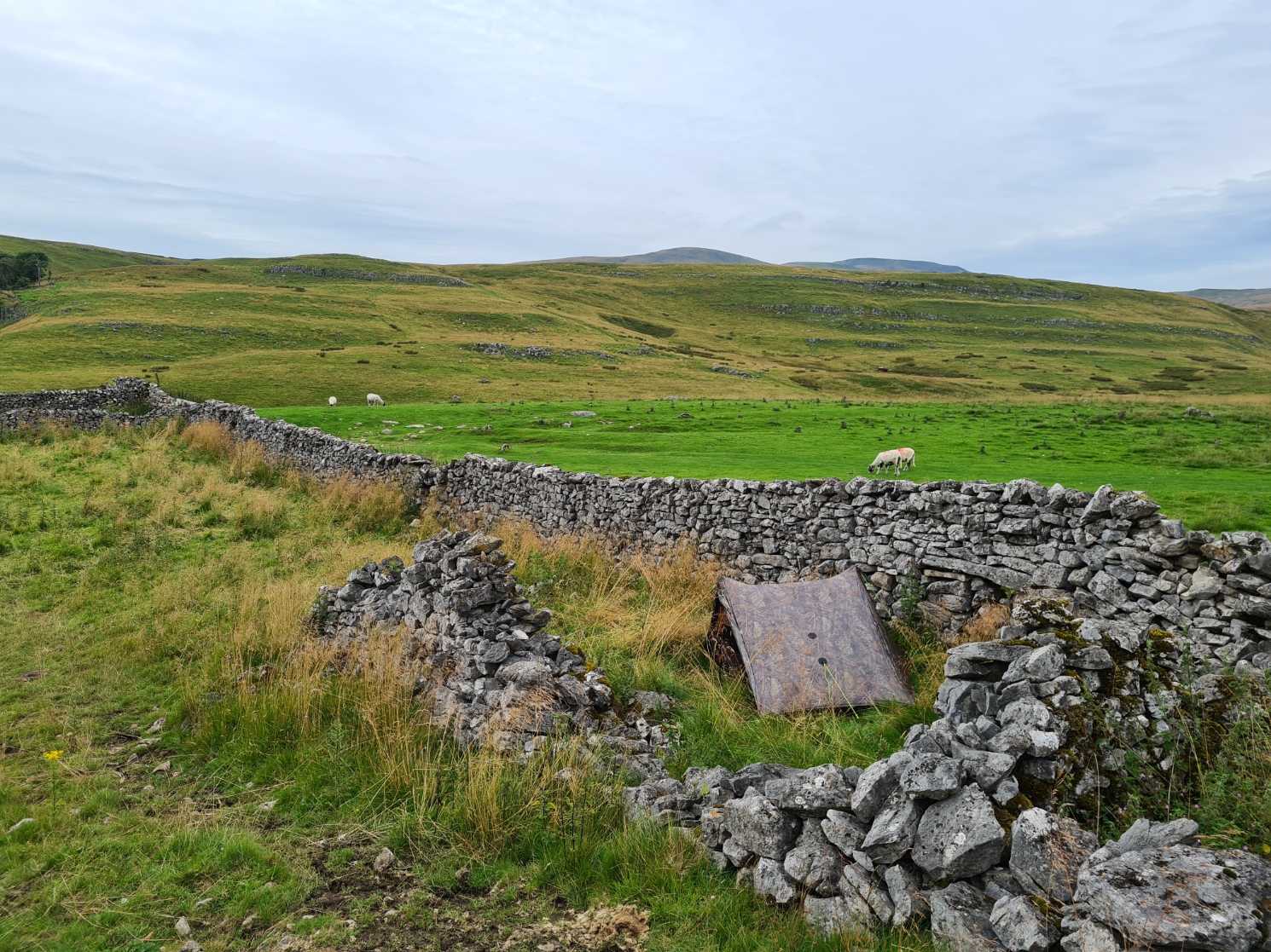
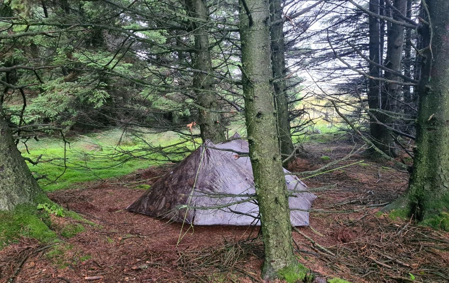
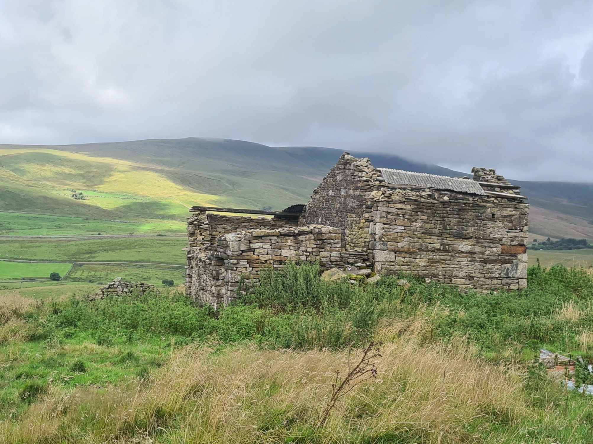
Further up the valley, back into moorland and on the flanks of Thwaite Scars I saw a small, ruined stone steading that not only had a bit of flat(ish) ground inside but would also give protection from the weather if it did get rough. I would be pretty much out of view too. I was pitched by five-thirty which gave me plenty of time to, well… do nothing. I fixed a first brew and sat and read until the rain started. It gradually got heavier, so much so that I was eventually forced to close the vestibule doors. A second brew and water boiled for my evening meal were completed in a closed vestibule as the wind had also built up and despite being sheltered by stone walls, rain was still being forced in no matter which of the four doors I opened.
Day 13. Thwaite Scars to wildcamp at Garsdale Station. 19.21 miles, 2655 feet ascent
With the wind and rain howling outside, I again rose and checked the interior a couple of time during the night. I had double pegged a couple of the guys and despite the shelter bowed in by the wind on occasion, there was no issue, and no rain made its way in. I huddled down inside a warm quilt and slept on.
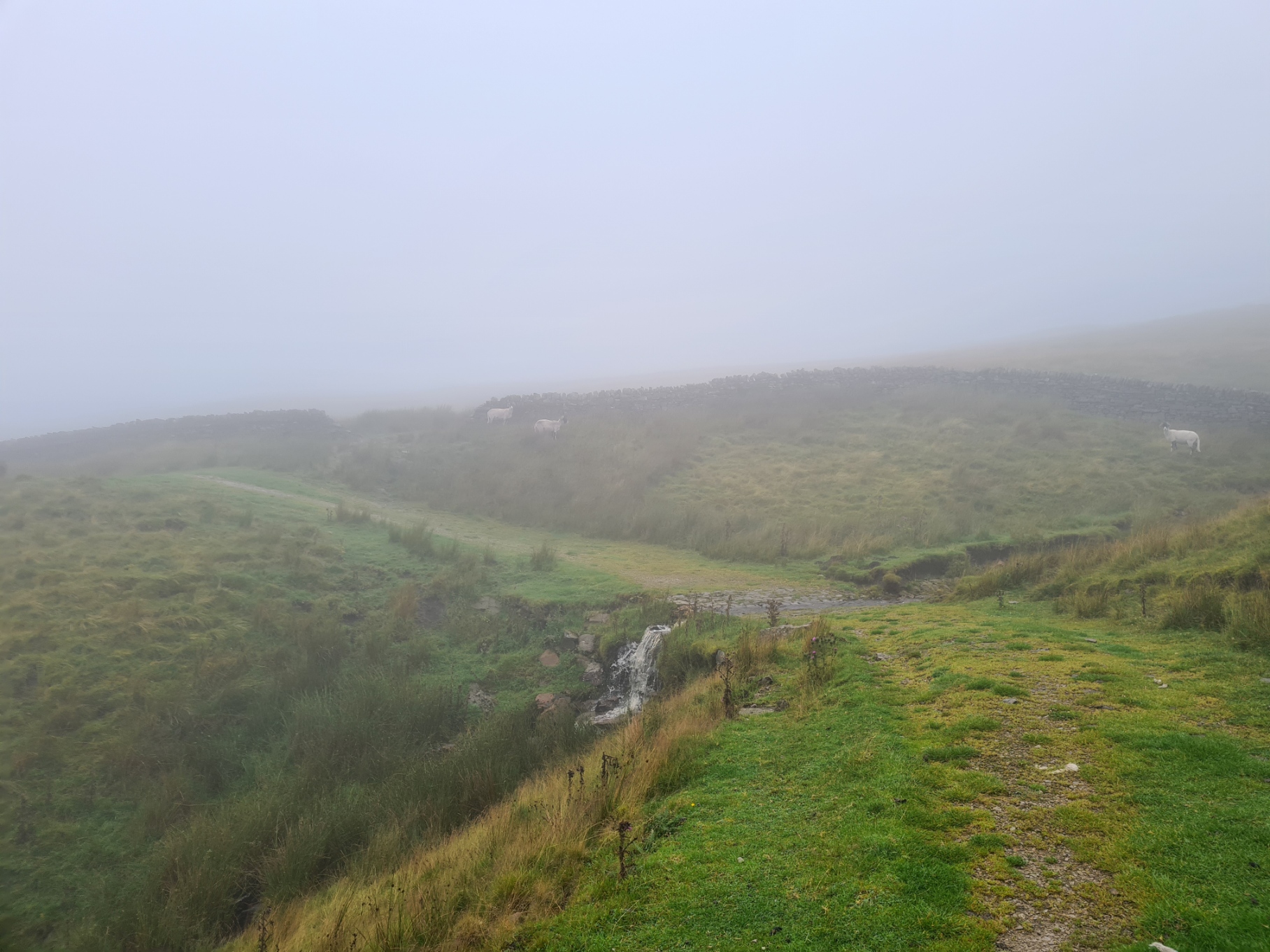
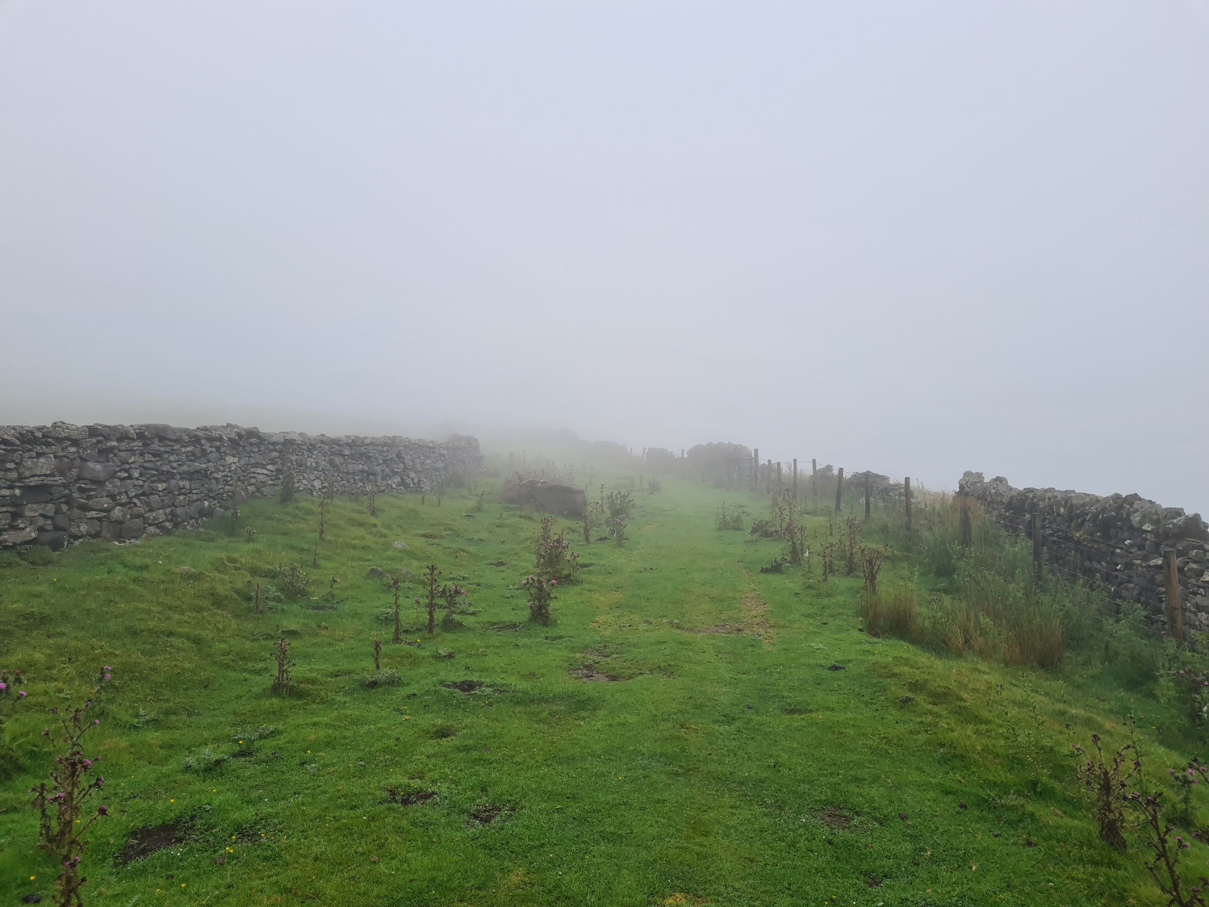
Despite the foul conditions overnight and night checks I slept well and, typically, the rain was mostly halted by the time I rose. By the time I was packed and began my walk across Ingleborough Nature Reserve it was just mist. I hoped it might brighten and clear but that wasn’t to be. The rain frequently returned during the day and despite some pretty awful weather with extremely limited visibility for a couple of hours I thought this was the some of the best walking of the entire 205 mile long trail and I had a fantastic day. I took few photos as the phone remained triple wrapped for protection against the weather for most of the day
Happily striding along with the rain on my back, I passed through Cold Geld Gate and surprised a backpacker sitting with his back to the dry stone wall sheltering from the almost horizontal driving rain. He was wearing a thick woollen sweater, no hard shell and looked wild and damp. I asked if he was alright. He was very obviously on the Pennine Way, had no English but despite being a bit wet seemed warm and happy enough. He offered me biscuits from the half-finished full-size pack of Digestives he was working through. I declined and wished him well on trail, I think I had the same reciprocated. I moved on and he was quickly swallowed up in the murk behind me.
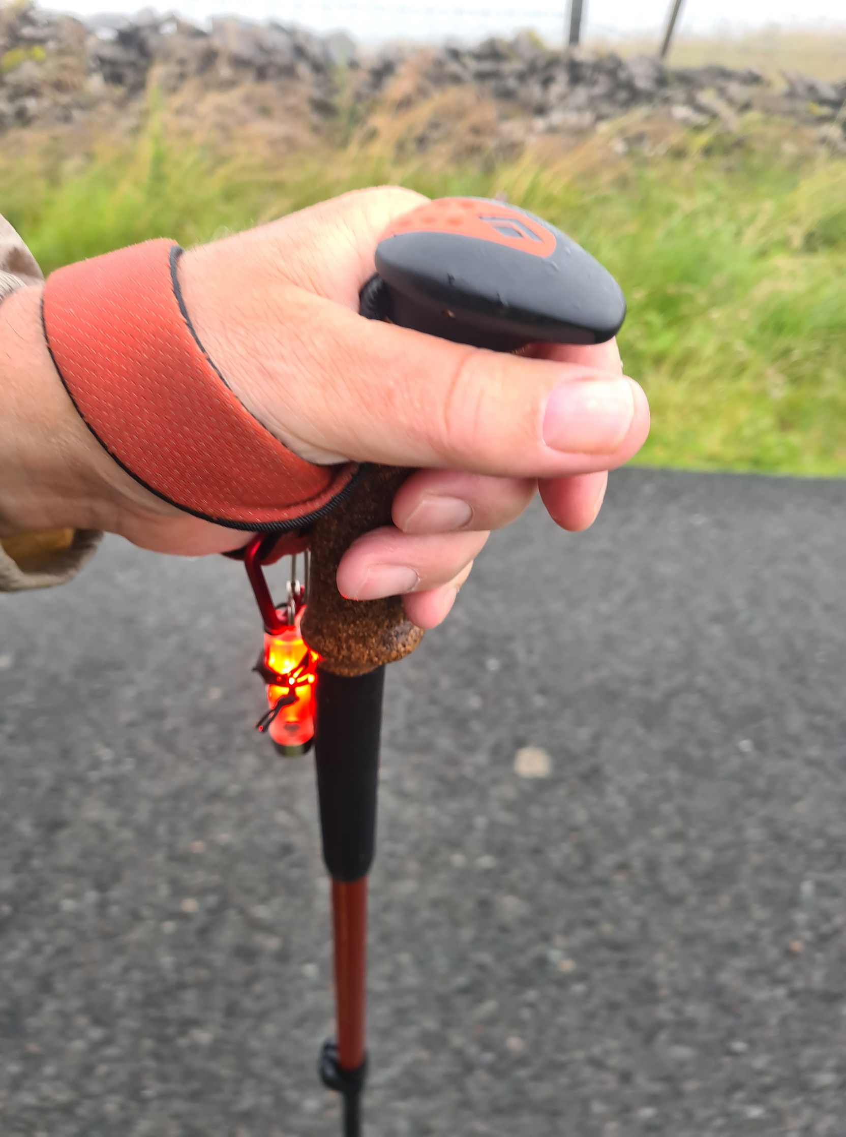
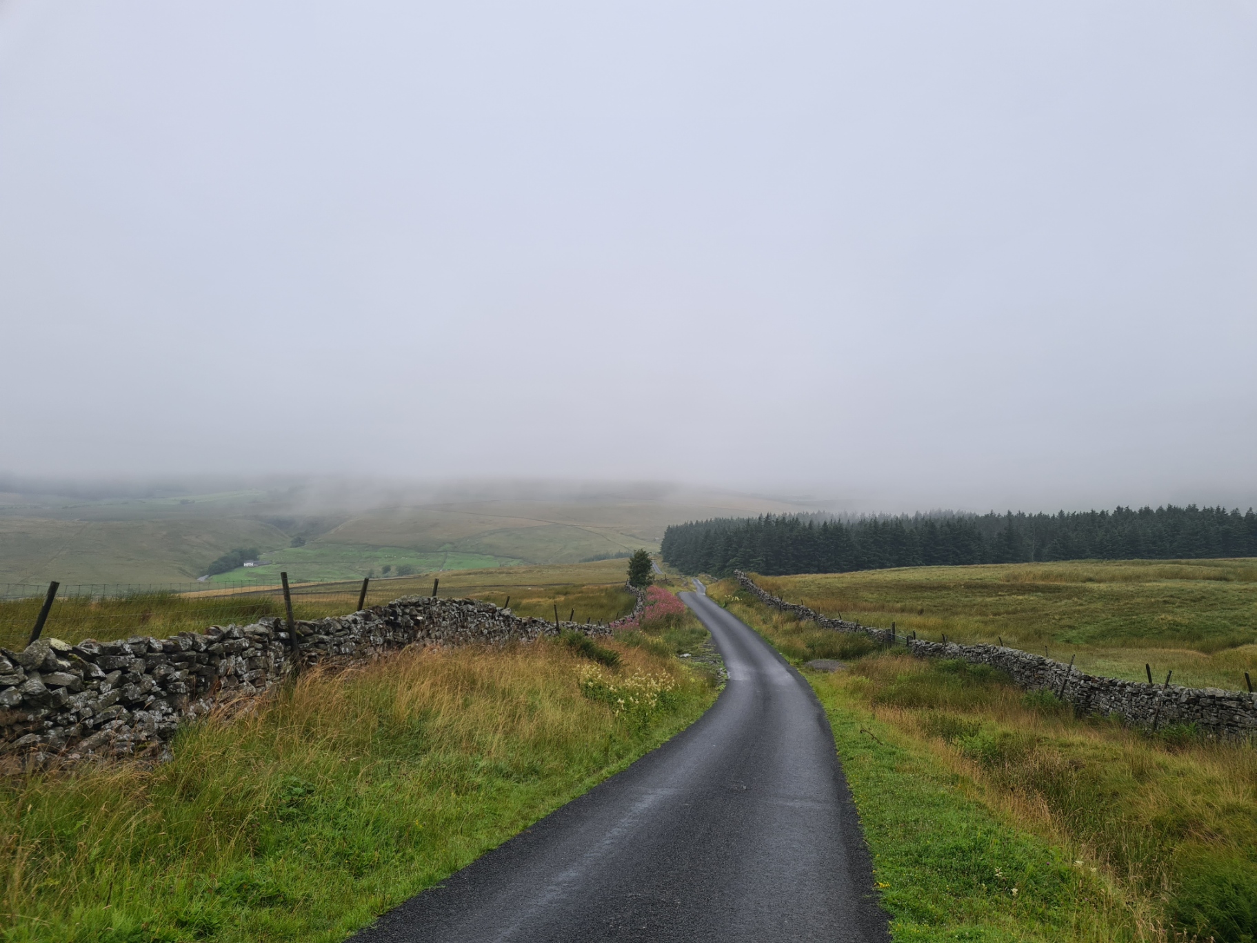
It cleared up a little but the road walking was a tad dodgy in the mist and I put my little RovyVon ‘flashlight’ on flashing red mode and hung that from my left hiking pole loop so that it could be seen both from the front and rear. You might think that this would be pretty ineffectual but I have done similar in the mist in the past and twice subsequently talked with drivers hours later that remembered passing me and they mentioned that it was the red flashing light that they saw first. I try to not let this build any overconfidence and still stepped smartly off the tarmac if I heard a vehicle.

The Pennine Bridleway was joined for a few miles by both the Pennine Way and Dales Way. I have walked both and they are each cracking trails. I walked the former in 2018 during drought conditions and when the Three Points of the Compass family walked the Dales Way a decade ago, we woke at Kettlewell YHA to unexpected snow. Today I only had rain to contend with. Prepare for any form of weather round here.
After a wet day crossing moorland paths, dodgy road walking in the mist, striding along wide drover’s paths, admiring stone buildings of indeterminate age, ascending and descending in and out of a low cloud base, snatching views when the rain cleared off for a few minutes, I had enjoyed a good day’s hiking but was ready for a halt. I had looked at the map and set my mind on a woodland just prior to Garsdale Station but when I got there it was a sodden rotting morass with lots of windthrow. My feet sunk to above my ankles in the mossy wet rides. Tussocky slopes bordered the woods and it looked as though I might have to walk on but I managed to find a patch between trees that had no blow downs and nothing over my head that looked like it might kill me in my sleep.
I cleared away years of pine needles and twigs and eventually had a patch large enough. There was no protection from the wind that was being funnelled up the valley on the other side of the road. A bitter wind whistled through the trees, finding its way under the tent doors of a poorly oriented shelter. I quickly tent washed, got a brew and meal on, ate quickly and got into my quilt, wrapped it around me and attempted to sleep while trees creaked and groaned above me. Final day tomorrow.
Day 14. Garsdale Station to trail end at The Fat Lamb, The Street, Ravonstonedale, then to Pennine View Campsite, Kirkby Stephen. 16.01 miles, 2379 feet ascent.
Despite the wind howling around the shelter for much of the night, trees rattling and shaking, I slept well. Because I had turned in fairly early I was also up fairly early as I wanted as much time as possible to enjoy this last day on trail. The wind had died and despite the dripping from the trees above I suspected the rain had mostly stopped too. My food bag was almost empty, and the pack felt light today, partly due also to my having almost no water. But enough for the all-essential morning tea. Thats the important thing! Packed and shelter down, I attempted to pick my way through the rotten sodden woodland back to the road without getting wet feet. Nope, completely unsuccessful.
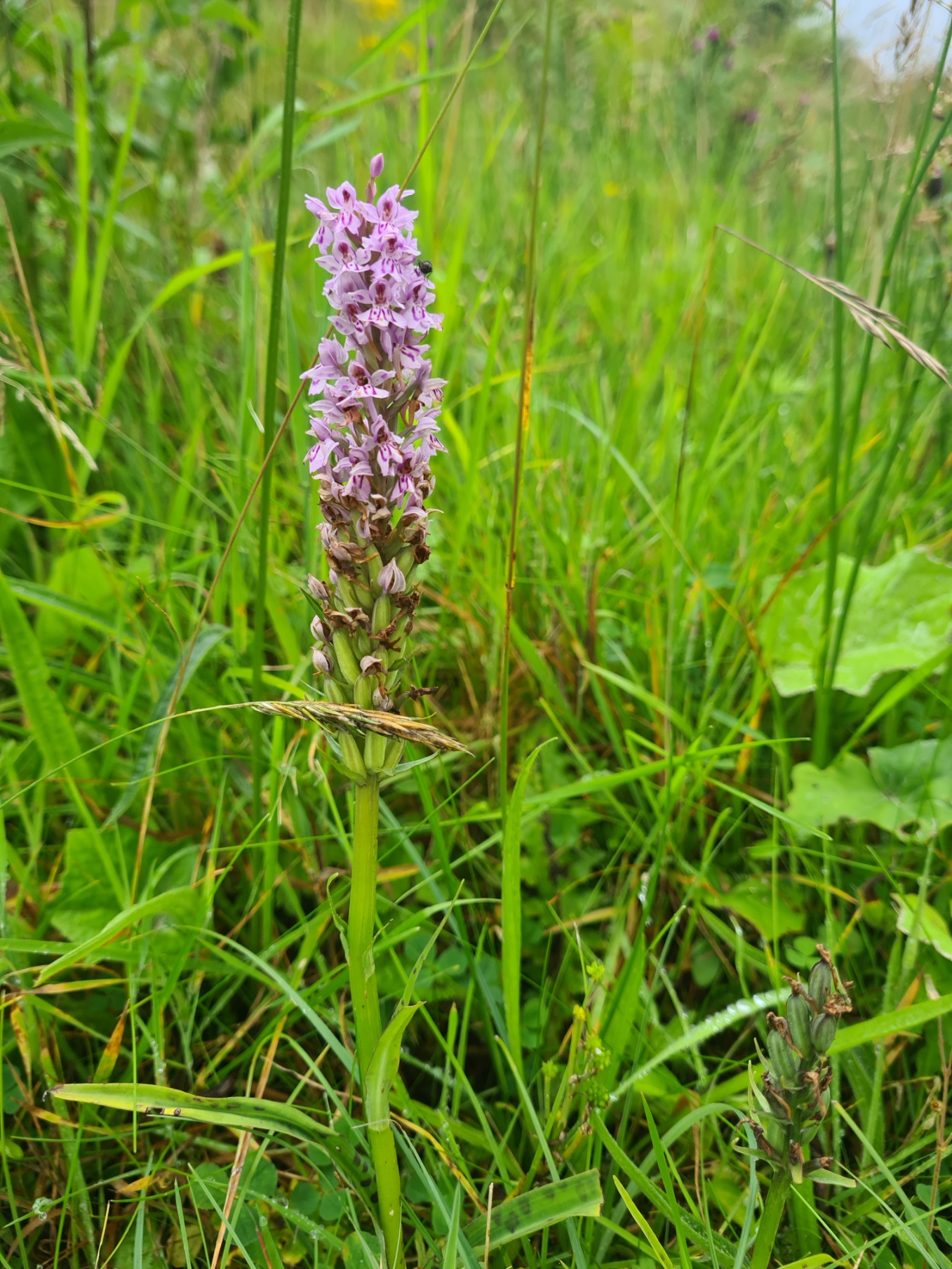
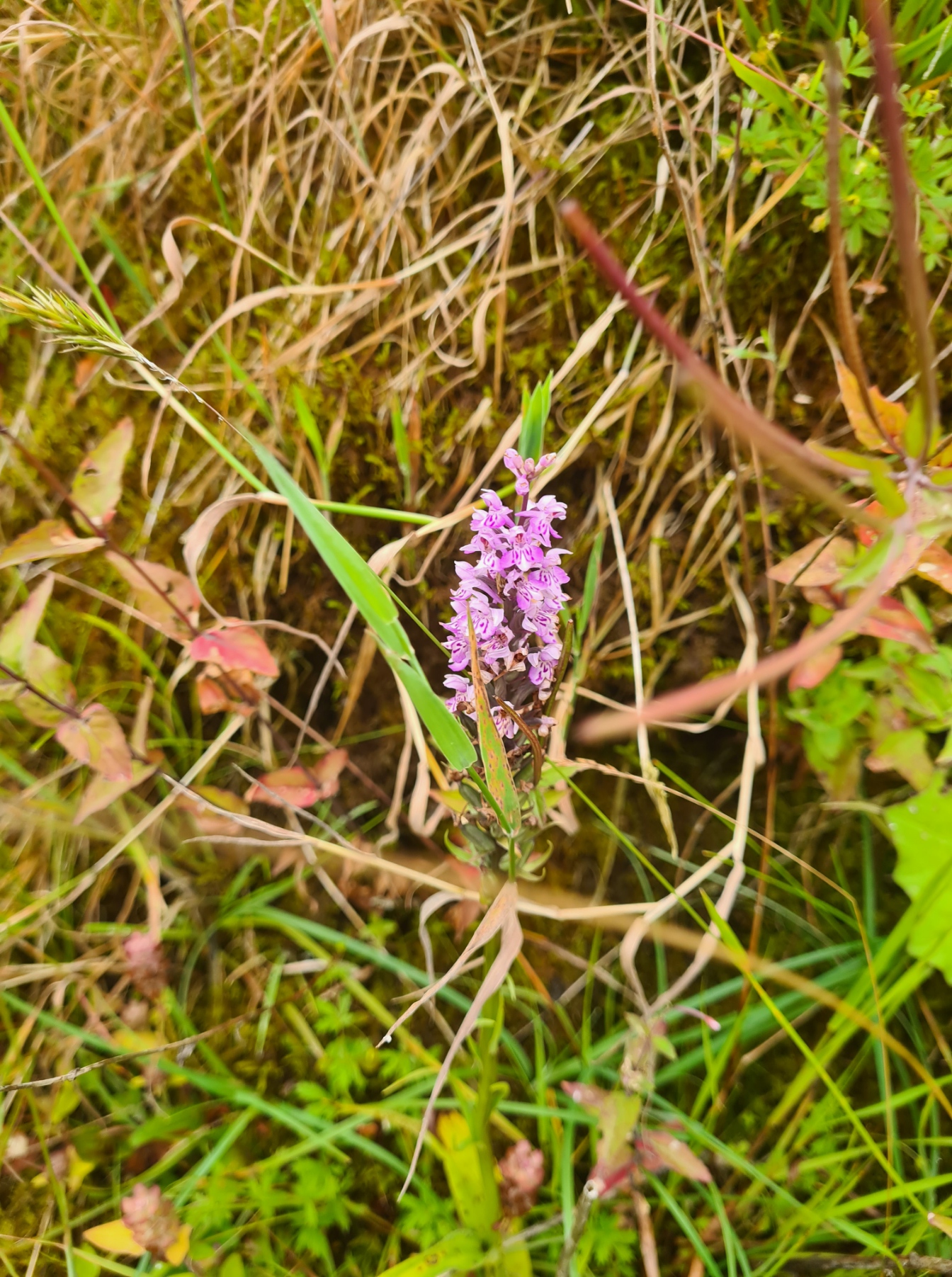
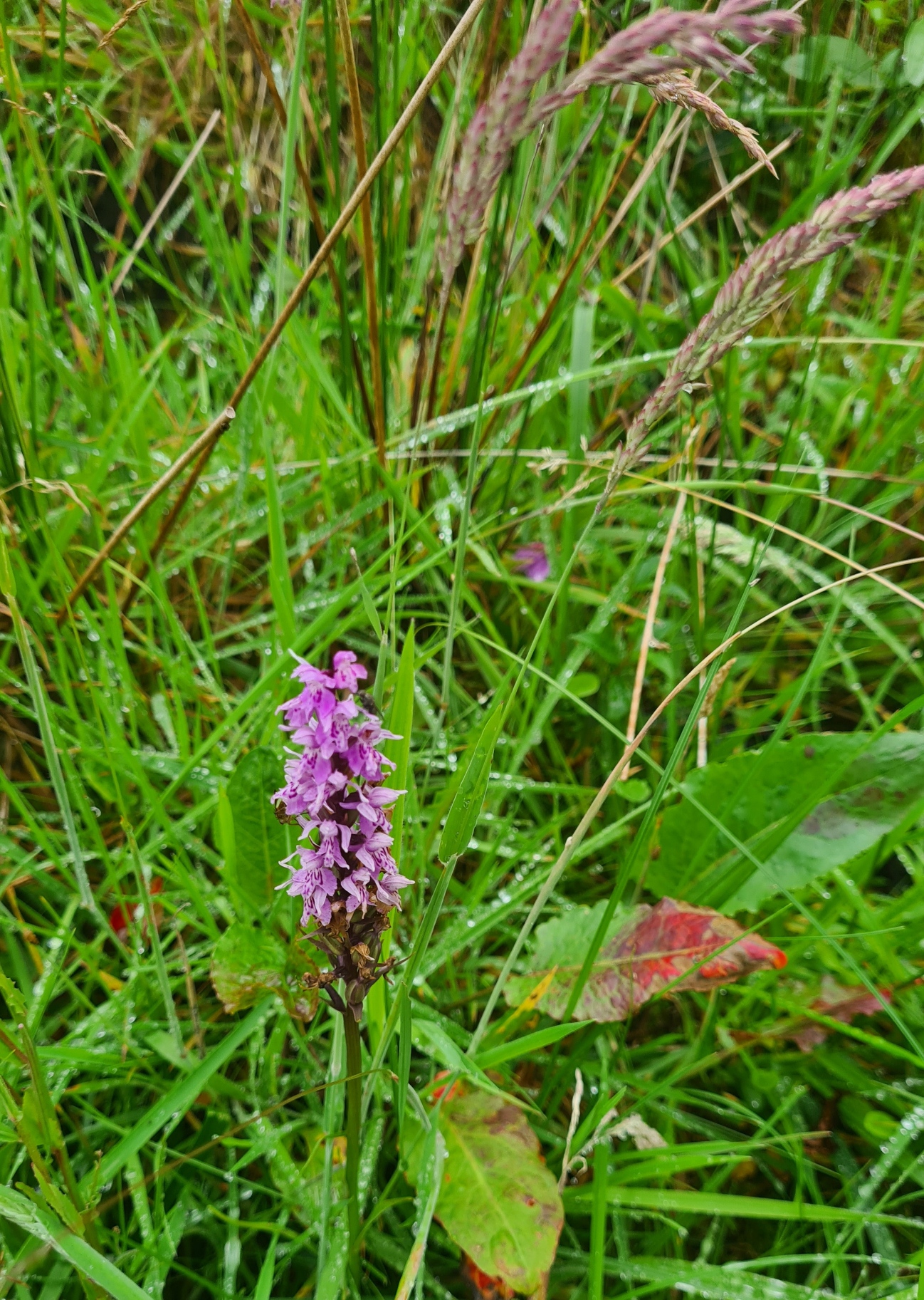
There isn’t much to Garsdale Station and the trail skirts most of it. What there was though, were verges dotted with orchids. From nature to industrial wonders, I walked down the trail, past an extensive bank of Rosebay Willowherb, to pass under the impressive Dandry Mire Viaduct. Again, I had fantasies that the Moorcock Inn, only a mile further on, might be open and offering superb bacon rolls and mugs of tea. Why do I do this to myself. Of course it wasn’t. What I had instead was the start to the best day on trail. Not because it was the final day. It was simply grand walking and the Pennine Bridleway had saved much of the best until last.

From the road beside the pub it is just a mile and a quarter climb up to the High Way. A curlew burbled at me, circling ever nearer and I suspected I was too close for comfort and he/she was loudly letting me know. I walked a couple of hundred metres further and an Oystercatcher took over doing the same, loudly piping at me to clear off. Beginning my steady climb I paused just past Yore House Farm to view the stream tumbling down rocks, a pretty scene, I raised my phone to take a photo and… curses… missed it. A young otter had briefly appeared, making its way upstream beneath the rock overhang on the far bank. I totally failed to take the photo. The first otter I have seen in eight years.

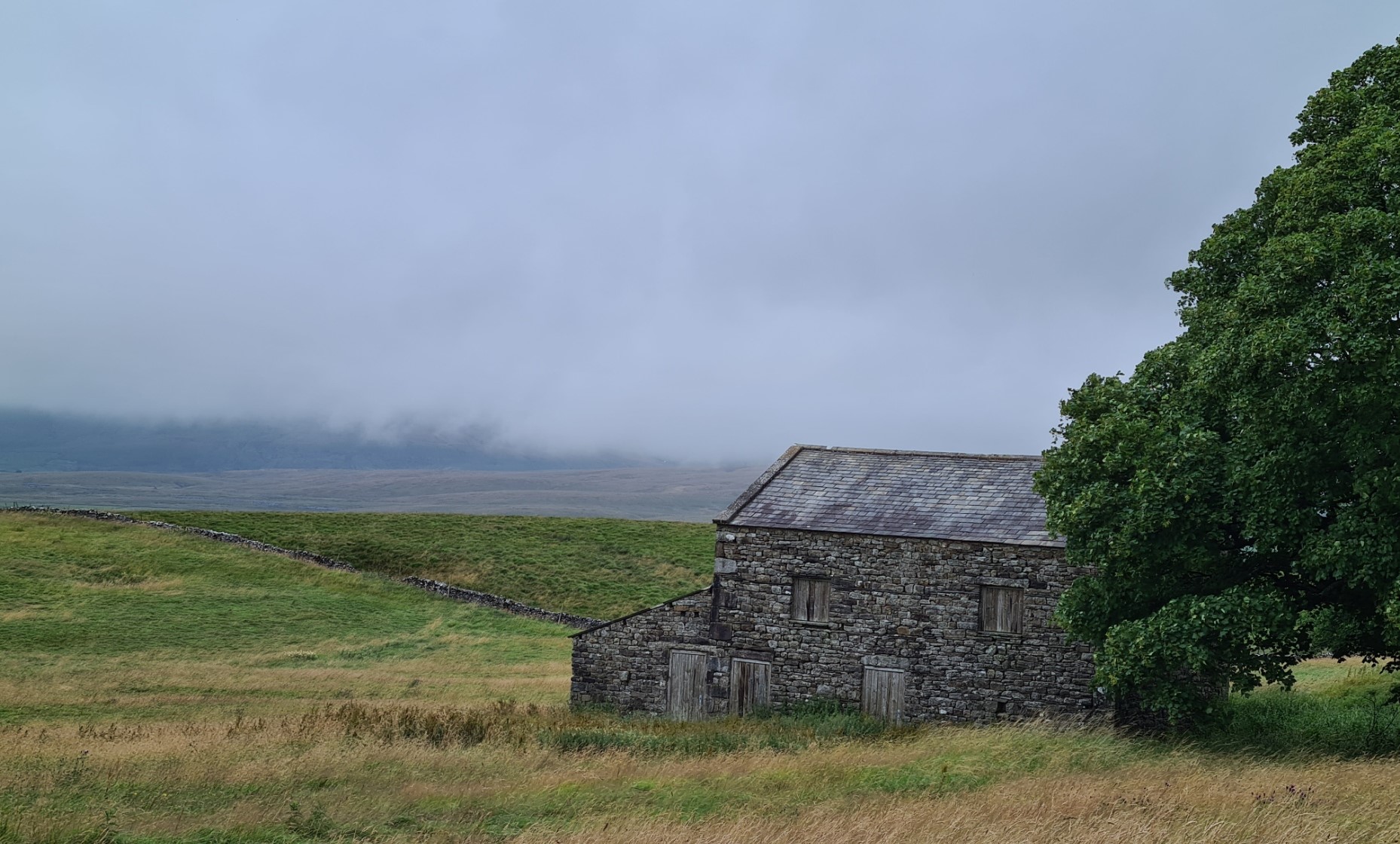
Handrailing Cobbles Plantation, the climb got steeper but remained easy enough. I passed a limekiln and what looked like they might be stone built shelters for shepherds or the like. Then it is left turn and a grand walk along the side of the fells following the High Road, also called Lady Anne’s Highway. There were fords to cross, ruined farm buildings to admire, some of them modest while others looked to have been quite grand ‘back in the day’, plus shake holes in abundance. I was passed by a lone cyclist, bemoaning the fact that his e-bike had failed to charge overnight and it had only 5% power remaining. A quad bike roared past me, the rider enclosed head to toe in camo, a rifle clamped across the front of the bike.
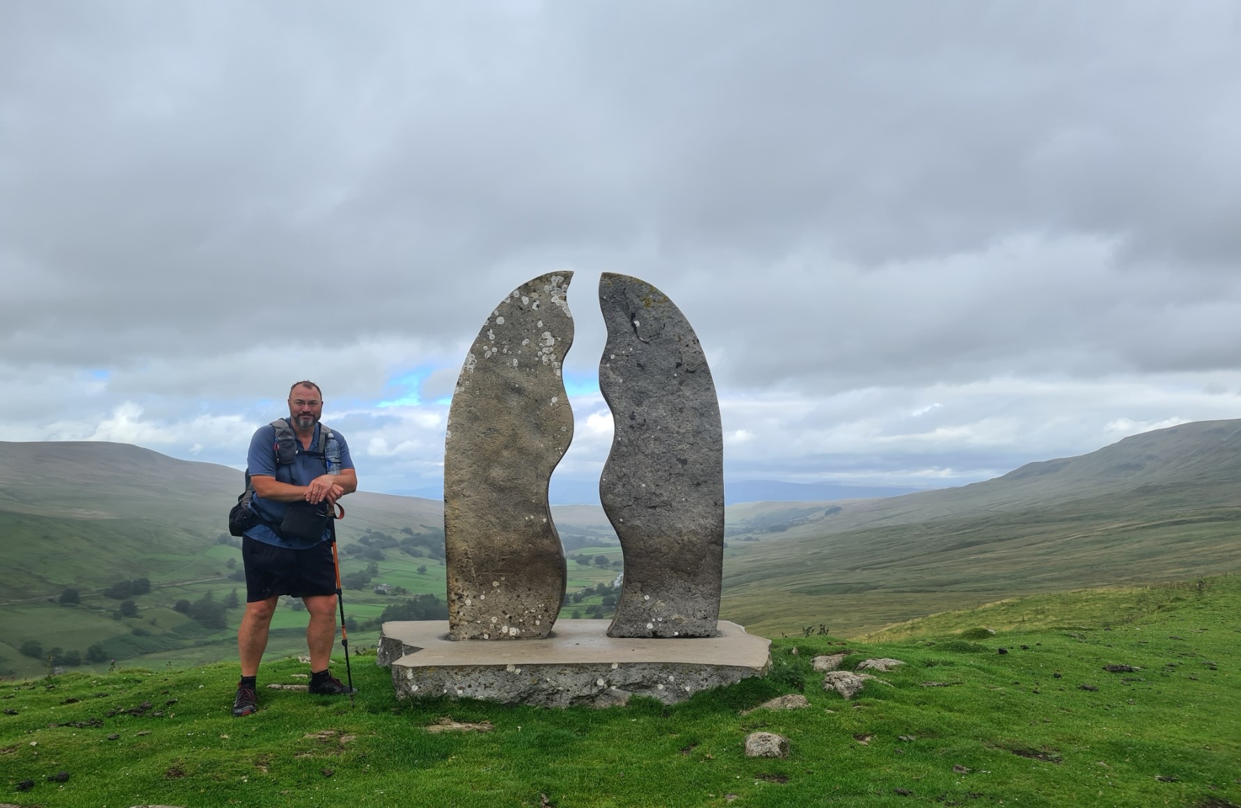
When I reached the Watercut sculpture I obviously took time out for photos. I posed for the camera, watching the rain beyond it making its way up the valley toward me. It eventually caught up with me a quarter of a mile further on but simply splattered me a bit, passed and moved on ahead. That was the last of the rain I was to see on this trail. Lamenting the end of this lovely section, I began my steady descent down to the road in the valley bottom, there to turn sharply left and walk back down it until another turn off for the climb back out of the valley on the far side.

Leaving the road, I passed Hazelgill Farm and the track began to get steeper, passing under the railway that also followed the side of the valley and continued up toward Wild Boar Fell. It is a fairly long climb. Just about the final one of any note on the Pennine Bridleway and I took my time. It can get wild up here if the weather changes but the rain from the previous days had cleared off, the cloud base was a couple of hundred feet higher and I enjoyed the climb to ‘the wall’ on the saddle from where the path becomes better appointed and it is an easy, if long, walk down down down from High Dolphinsty to the sheep filled pastures on the lower slopes. There were a couple of final fords to pick my way across but my now dry feet remained dry. I passed Stennerskeugh Farm and felt that I was on the final stretch. This was a nonsense as I had a good few miles left to complete before my nights halt.
After 10.96 miles I reached The Street, where both the OS map and most accounts of the trail have the Pennine Bridleway ending however there is nothing beyond a standard waymarker post to indicate this as the end. I continued on down the road, where three quarters of a mile later I walked across the forecourt of the Fat Lamb Inn, where many will celebrate completion of the Pennine Bridleway but decided not to go in. This put my day’s total to trail end at 11.49 miles with 2040 feet of ascent. It wasn’t over for me however as I still had a four and a half mile roadwalk to Kirkby Stephen where I hoped for a night’s halt, a decent shower and some sort of celebratory meal at the campsite there. I had failed completely in phoning them for the past two days due to a lack of signal and I had no idea if I would get a pitch. I arrived after the reception had closed but there was a number to ring. A young lady answered the phone, no problem, come and see me at the bar. Result! I hadn’t even realised that there was a bar on site. Not only that, but they were hosting the ‘Noodle Man’ that evening.
After a pint in the bar it was off to the backpacker’s pitch. This is also a popular stop for those following the Coast to Coast and two tents with backpackers from that trail were also stopping overnight. We chatted for a while about respective trails and gear, but I had a shower to fit in, followed by changing into clean clothes and a return to the bar for a couple of pints of beer and a large portion of noodles, chilli beef and side order of chips that slipped down all too well.

The following morning it was simply pack up and the mile walk back to Kirkby Stephen station for the first of three trains home. Job done.
From Cromford Rail Station to my final campsite at Kirkby Stephen I had walked 215.63 miles with 30710 feet of ascent over 14 days. So not a great deal more than the official 205 mile length of the trail. Many days were fairly short and I could look on them as partial rest days. I enjoyed a great deal of it despite the weather making it a bit of a challenge on occasion but that is typical UK walking, you get what you get, and it is the wise hiker who prepares for just about anything that might occur. However, I do not think this is a good National Trail. The multi-user aspect, horse-rider/cyclist/walker, sits uncomfortably and much that suits one type of user does not suit another. Some road walking would be uncomfortable for a horse, some rougher bits of trail will threaten to break a cycle while many bits of road walking or bridleways take the walker away from what would be far preferable paths. Would I walk it again? No. The Pennine Way and other trails offers much more to the pedestrian.
- Maps and Guidebook for the Pennine Bridleway
- Pennine Bridleway- Middleton Top to the Mary Towneley Loop
- Pennine Bridleway- The Mary Towneley Loop
- Pennine Bridleway- Mary Towneley Loop to Settle
- Pennine Bridleway- The Settle Loop
- Dry stone walls on the Pennine Bridleway
- Stone buildings on the Pennine Bridleway


Hi Jools, I have thoroughly enjoyed your adventures on this walk. I am also loved by the flies and have tried everything to prevent their attention.
Bob
LikeLike
I have no answer Bob, obs we can all put on a headnet for midges and mosquitoes, but just those annoying buzzing whirring little blighters, what then. Just put up with it I suppose. None of the repellents seem to last. Bog Mirtle, citronella, Deet, tried em all. Some are simply horrible chemicals, some don’t last. A physical barrier seems to be the only effective answer, that and timing of course
LikeLike