
Our second day on trail and another climb in front. Today we have a hill fort, ruined abbey and a fruit farm to visit. Or do we?

Day Two: Stanton to Winchcombe. 8 miles/13km
Another decent night’s kip. Compared to my home back in North Kent, the silence outside overnight is really noticeable, not a peep of sound. Despite our second section being an even shorter day than yesterday’s moderate distance, we had a slightly earlier breakfast today (another fry up) as we had to be ready for our transport back to Stanton to resume our walk where we left the trail yesterday.
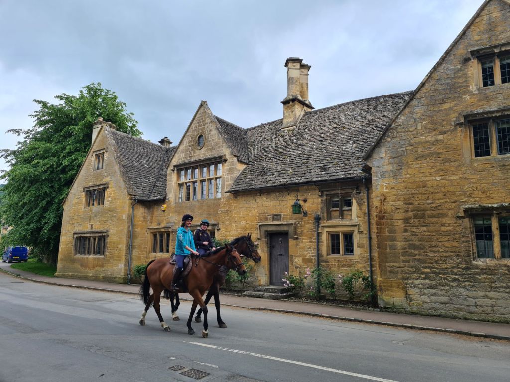


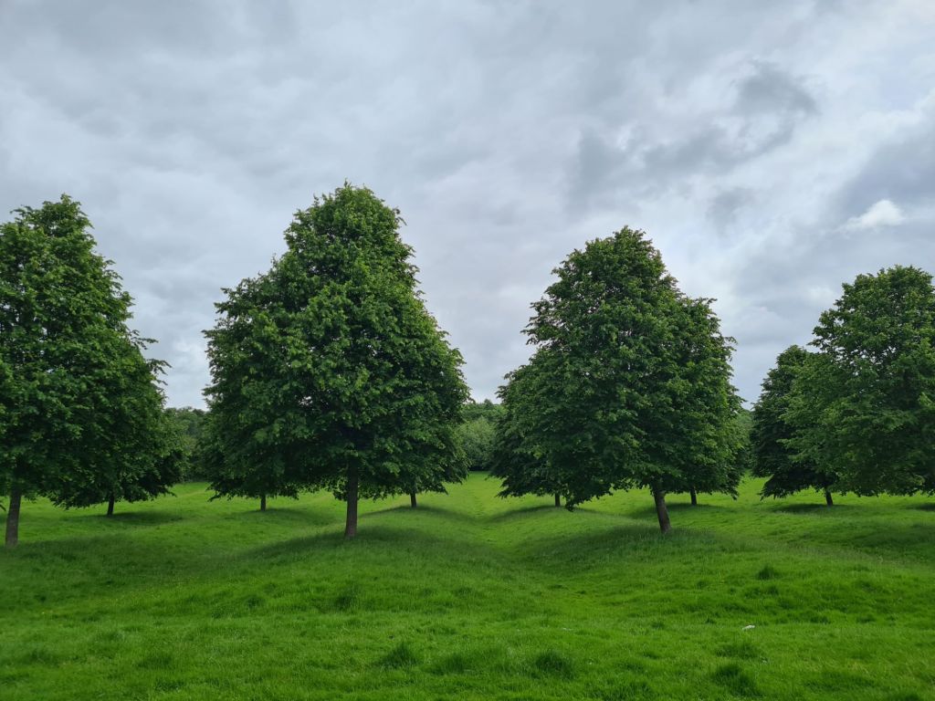
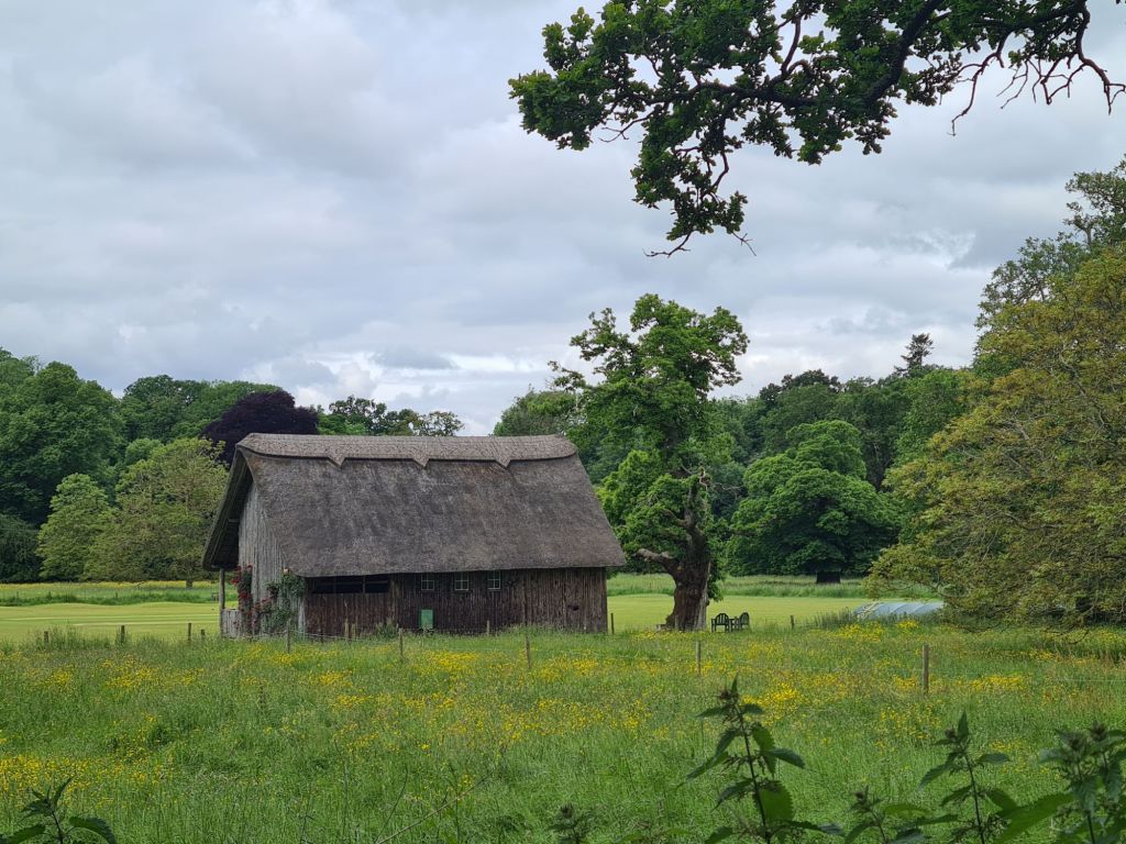
Leaving Stanton it was really pleasant walking across grazing, fallow, meadows and parkland. I can imagine it being slippery and muddy for much of this section after rain but it was dry today and easy underfoot. Yesterday’s sun was now masked by clouds that hung around almost all day, but refrained from dropping any of the wet stuff.


Our first couple of miles had little in the way of climbs and it wasn’t until Wood Stanway that we encountered a decent climb that woke up the legs and lungs. Stumps Cross led us to Beckbury Hill Fort. I had been looking forward to this but it wasn’t even worth breaking stride for. A bit of a lump in the ground is all that survives to the eye.


A little further on from the fort is Cromwell’s Seat, a carved limestone peculiarity, was at least worth halting for, if only to try and make out the graffiti, some of it Victorian. Allegedly it was from here that Thomas Cromwell (Chief Minister of Henry VIII 1532 -1540) watched the destruction of Hailes Abbey below.
Well, that is the story given in every modern guidebook to the trail. My old Constable guide to the Cotswold Way, first published 1980, states “… there is no hint of any inscription, or any other reason for its existence.” There are far too many trees today to see the Abbey below. Which was a shame, as we were soon to find. Dropping down the contours from here we were soon at our lunchtime halt, but it wasn’t to be. The Hayles Fruit Farm cafe proudly states… “our culinary philosophy revolves around celebrating seasonal, locally sourced, and high-quality ingredients. We take pride in curating a menu that encompasses all your beloved brunch favourite”. Not today son! A sign on the gate informed us it was closed, no reason given.
The ruins of Hailes Abbey just a short distance away would also have been well worth time taken out to explore, again, I was looking forward to it, but, yet again, it was not to be. Now maintained by English Heritage, the Abbey was built in 1246 and became a place of pilgrimage for almost 300 years when it became home to a phial purported to contain the blood of Christ. In 1538 this was ‘analysed’ in London and pronounced to contain just saffron coloured honey. The Abbey was destroyed the following year as a result of Henry VIII’s dissolution of the monasteries. Annoyingly, the grounds are closed on Mondays and Tuesdays and all we could do was view the ruins from over an exterior fence. The ruins that we could see just about invoke a smidgen of an idea of monastic life. Thankfully, the even older Hailes Church nearby also deserved time to view, if only for the 12th century paintings that decorate its walls.


It was only another 2.5 miles to our night’s halt. Winchcombe, the old capital of the Saxon kingdom of Mercia. Prior to going to our night’s stop, it was worth hunting out the ‘Winchcombe Worthies’, around 40 gargoyles that adorn the outside of St. Peter, the parish church (1465-8). They apparently represented unpopular local monks and are an indication of the local resentment at the time. I could see about half their number from ground level. Strangely, I could find no mention of them in the dozen or so publications inside the church, that covered many aspects of the building and those that worked there. But not, it would seem, the stonemason taking the piss out of various individuals at the nearby Abbey.

Tonight’s halt is a sixteenth century inn in the middle of Winchcombe and having arrived late afternoon and having had no lunch we availed ourselves of a couple of cream teas. Though small, this was fine as we were again eating only three hours later. The White Hart Inn had a decent looking menu, so the two of us had no need to venture out further in search of sustenance and had pre-booked a table for 19.45. Though pricey, it was good, and with a couple of equally as pricey side dishes, sufficiently filling. The Cheltenham Gold, 4.5%, was a good way to round off another good day on trail.


- Cotswold Way- National Trail
- Cotswold Way: Chipping Campden to Stanton
- Cotswold Way: Winchcombe to Dowdeswell
- Cotswold Way: Dowdeswell to Birdlip
- Cotswold Way: Birdlip to Painswick
- Cotswold Way: Painswick to King’s Stanley
- Cotswold Way: King’s Stanley to Dursley
- Cotswold Way: Dursley to Wotton-under-Edge
- Cotswold Way: Wotton-under-Edge to Old Sodbury
- Cotswold Way: Old Sodbury to Cold Ashton (Pennsylvania)
- Cotswold Way: Cold Ashton to Bath

Now that the electricity is finally back on …. terrible storms keep coming through here in East Texas and knocking trees down on the lines . I hope the weather stays good for you and your journey . I can’t help but think that my ancestors could have walked those same lands . With what you write and the pictures , I find it fascinating .
LikeLiked by 1 person
Very different weather here on the Cotswold Way. Though perhaps I shouldn’t tempt fate!
A lot of very old connecting routes and paths being followed here
LikeLiked by 1 person