
Further climbing today, including crossing hills separated from the main escarpment.

Day Seven: Stonehouse (King’s Stanley) to Dursley. 6.5 miles/10.5km, plus 1.34 miles/2.8km Selsley ‘variant’.
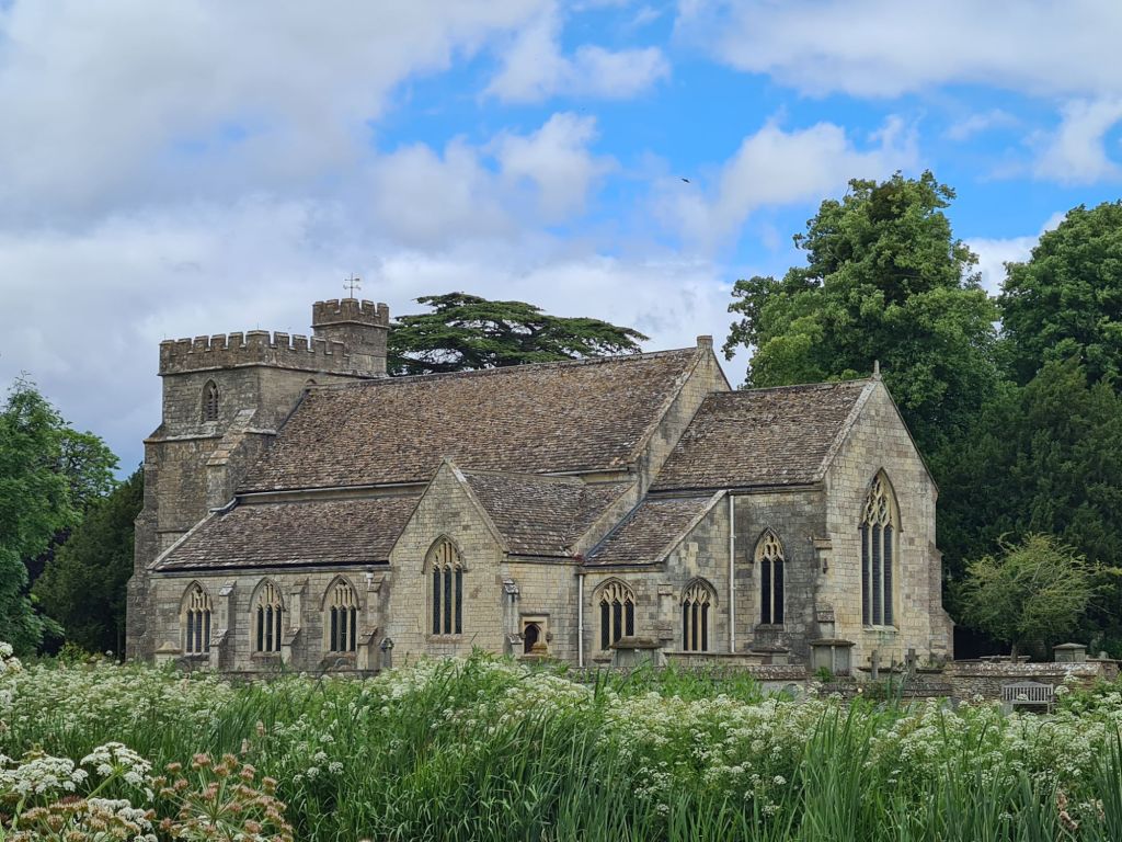
Our overnighter at Stonehouse Court Hotel has been very pleasant, though it is an expensive halt. Our room is large with an almost as large bathroom. Our tri-direction pointing windows showed our route ahead along the escarpment, as well as begging infant jackdaws and randy squirrels on the Manor lawn. Breakfast was an interesting affair. There is a wedding taking place on said lawn later today, and the hotel is full of an odd mix of Cotswold Way’ers and wedding guests. Barefoot pyjama wearing toddlers tripping over boot wearing trail walkers made for a hectic breakfast room for the unflustered staff. Our tea never turned up, so we retreated to our room for a brew, which helped make our departure even later, and we weren’t away until ten, and even then we went wandering in and around the large St. Cyr’s church next door
Mrs TPOTC has been suffering just a little for the past couple of days. Our expected issues with her plantar fasciitis have not really materialised. Instead, her knees are suffering from the ups and downs. We have been doing what we can of an afternoon and night-time with ice and ibuprofen gel, but we both wait and see how her body holds out. That hasn’t dampened her determination however, and when we had walked the 0.8 miles to return to trail, she opted for the Selsley alternative. This adds almost 1.5 miles and quite a bit of climbing. Before that however, we turned right and followed the original route down into King’s Stanley to view the old Grade I listed Stanley Mill. It is now hard to believe that this five-storey brick and stone woollen mill once employed a thousand workers. It’s looms were powered by five water wheels, replaced by steam in 1834. The building has long been at risk and typically, permission was granted in 2017 to convert it to luxury flats. There are some good images of the interior on Whatevers Left. The gate to the Mill was open and I wandered in to take some photos of the exterior. A security guard sitting in his vehicle got confused- “you can’t go in“, “OK, I’m not going in, just taking a few photos “. “It is closed”, “No, the gates are open, look, I’m just standing here and taking a few photos“. He looked crestfallen, then went back to sitting in his car, sulking presumably. Having taken a couple of pictures, we then left.

Having viewed the mill, it was about face and back uphill to the canal. The Cotswold Way used to simply carry on through King’s Stanley, but in 2007 an alternative loop was added that followed the Stroudwater Canal before turning off and climbing up onto the airey grassy top of Selsley Common. This may now even be the ‘official’ rather than alternative route. But certainly most hikers appear to take the lower, easier, shorter route. Both routes are shown on the finger post at the bridge. I do like that one directional sign uses kilometres, while another uses miles. Before we even got to Selsley though, we had the canal walk. And a lovely section it is too. Though no moving traffic on this now ‘stranded’ waterway.


There are swing bridges, locks, spillways, the usual interesting canal paraphernalia. Before leaving the canal however, we carried on a little distance to see the old Ebley cloth Mill, destined to become the new council offices and gym. As with our earlier mill in King’s Stanley, six water mills in the next door River Frome promised both power and employment but they are all gone today.


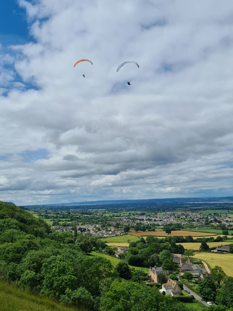
Then the steady climb up to the heights of Selsley Common. It was largely populated by parascenders today. The most I counted in the air was ten with the others sitting on the grass waiting their turn. Then back into woodland for a repeat of much of yesterday’s walk.


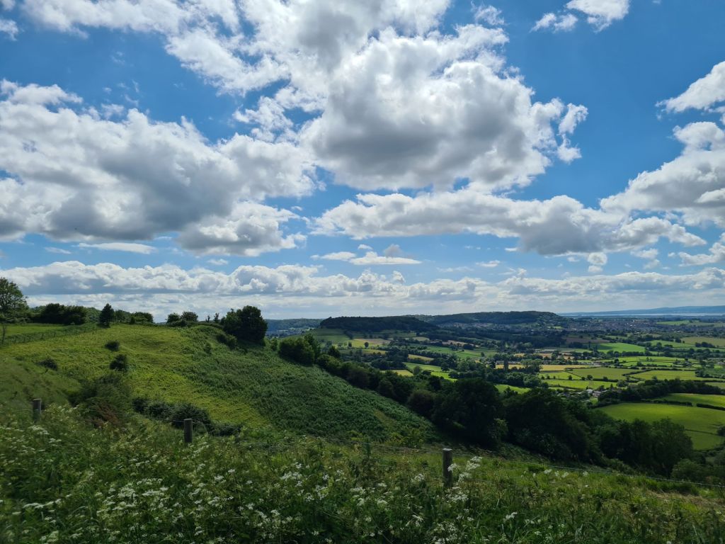
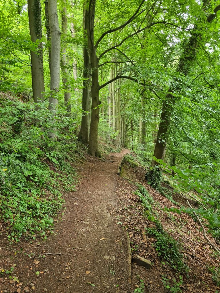
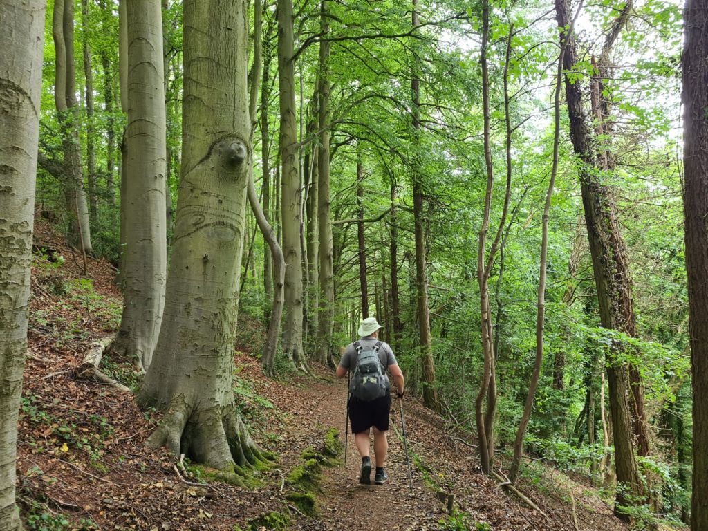
It was good walking and once back into woodland, we were offered fleeting visits of the vale below. But for the most part, it was soft woodland trails, following the contours, through primarily beech woodland.

As usual, despite being well routed, and closely following the contours of the escarpment, every now and then there were quite steep drops and climbs. By the time we got to the open spaces around Nympsfield Long Barrow, we were ready for a break. Lunch consisted of no more than some bars, boileys, and biscuits from our overnighter. After that, we explored the neolithic burial mound, though there wasn’t much to see.
It was constructed around 3800BC and originally stood around two metres high. The remains of over twenty men, women and children have been found here. Today, a family picnicked on the mound, throwing a ball for their dog to keep it amused.


The Cotswold Way had offered up a large number of wonderfully named locations, none more so than Hetty Pegler’s Tump, a neolithic long barrow. While it required a half mile diversion to see it, we had been prepared to do so. But we walked past it, unseen. A shame, as I was looking forward to it. The burial mound is around 140 feet by 90 feet (42m x 27m) and stands about 10 feet/3m high. It has a long internal passage and two pairs of side chambers and a single chamber at the western end. The name is simple to explain. It is on land that in the 17th century was owned by Henry and Hester [Hetty] Pegler.

The Iron Age Uleybury Hill Fort should also have made for a simple and not too long off-trail diversionary circuit. It is quite a large fort, covering some 30 acres (12 hectares). It would have been a difficult place to attack, as least from one direction as it has a 300 foot (91m) drop down the scarp face protecting it. While second and fourth century Roman coins have been found here it has never been properly excavated, in common with the many other tops along this trail, that also probably hosted forts or simpler dwellings. Is it impressive I hear you ask. A good question, and one that will remain ananswered for we walked past this site too, not realising we had reached the turn off and there is no signage. One for another day.
Another climb. Up to the summit of outlier Cam Long Down. Let’s not get hung up with geological reasons for it being detached from the main escarpment. The explanation for its isolation is simple, if you choose to accept it. The devil decided to dam the river Severn and drown the people of Gloucestershire as punishment for building too many churches. He filled his wheelbarrow above Dursley and set off to complete his task, later setting it down to ask directions to the river from a passing cobbler. The suspicious cobbler said it was so far away that he had worn out the shoes draped around his neck. The impatient devil emptied his wheelbarrow there and then. And so Cam Long Down was formed.

It is a bit of a climb, but over soon enough and then there is a superb and all too brief ridge walk before descending and taking the last mile or so walk into Dursley. Walking down the hill we met a lady climbing up. It was now almost six in the evening and she was hoping to complete the distance it had taken us all day to cover.

Tonight’s halt is a lovely Bed and Breakfast just a few minutes outside the old cloth and wool town of Dursley. We hadn’t previously booked anywhere for our evening meal as there were a couple of options not too far away from our accommodation and had decided to simply ask our host for suggestions. On Naomi’s recommendation, we went to Della Casa for good antipasto, pizzas and a bottle of Primitivo. A good way to round off yet another superb day’s walk on the Cotswold Way.

- Cotswold Way- National Trail
- Cotswold Way: Chipping Campden to Stanton
- Cotswold Way: Stanton to Winchcombe
- Cotswold Way: Winchcombe to Dowdeswell
- Cotswold Way: Dowdeswell to Birdlip
- Cotswold Way: Birdlip to Painswick
- Cotswold Way: Painswick to King’s Stanley
- Cotswold Way: Dursley to Wotton-under-Edge
- Cotswold Way: Wotton-under-Edge to Old Sodbury
- Cotswold Way: Old Sodbury to Cold Ashton (Pennsylvania)
- Cotswold Way: Cold Ashton to Bath

That was a wonderful looking walk , you picked a beautiful time of year to go . I think it is interesting that I made homemade pizza tonight . It must have been a pizza kind of night .
as I am posting this it is almost 0600 there , I hope that the two of you have a most wonderful walk today and I will be looking forward to the next post .
LikeLiked by 1 person
Thanks, sun is out, another day on trail to look forward to
LikeLiked by 1 person