
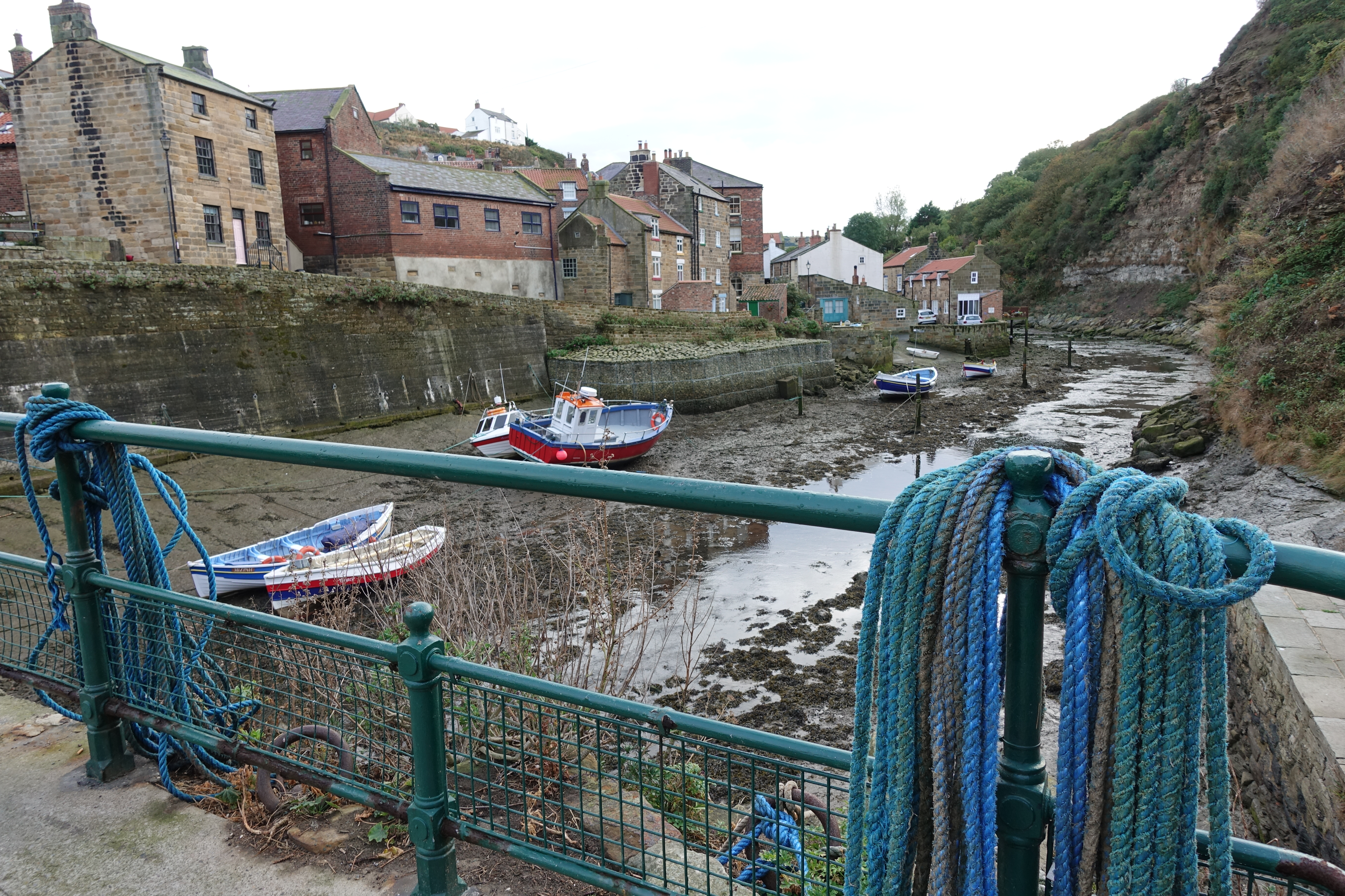
Staithes is reached on the first day of the coastal section of the Cleveland Way
Day 4- Margrove Park to Runswick Bay
My pitch at Margrove camping and caravan site had been ‘OK’ but the rain continued throughout the night. Dry, warm and snug inside my tent, I didn’t sleep well for some reason. I also struggled to enjoy my breakfast but that is nothing new for me. I am still on the search for something I enjoy ‘out of the starting gate’ when on trail. I get bored very quickly with porridge or granola and often feel a bit queasy. Yet recognise the need for slow burning carbs first thing. What seems to work best for me is to skip food first thing and eat bars within the first couple of hours while hiking. My pint of tea was, as always, very much appreciated. Today’s section was a good deal shorter, just 16.8 miles to cover so I tried to doze a little longer and was away fairly late at a little before ten.
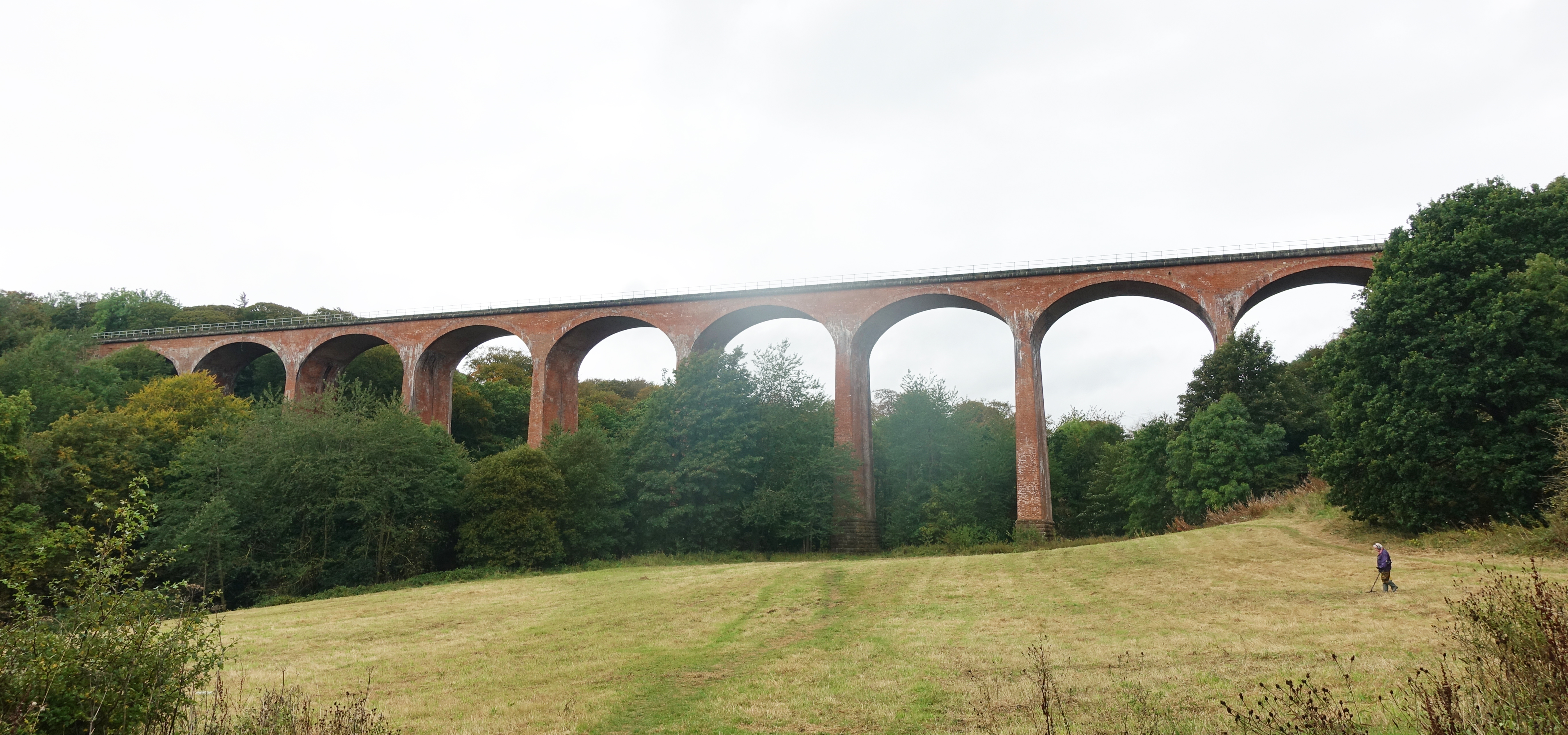
Impressive 19th century Saltburn Viaduct is walked under on the approach to Saltburn-by-the-Sea
My body felt good today and I was able to maintain good positivity and enthusiasm. Such an outlook is vital on trail. Not only would I be reaching the coast today but I also knew it would be raining hard for much of the time. I followed gentle farmland and woodland tracks, then beside the Skelton Beck it wasn’t too long before I reached the outskirts of Saltburn-by-the-Sea. Having walked under the brick railway viaduct, built 1872, I paused to discuss it with a couple of locals, one an amateur historian who was both proud and knowledgeable about the early mining history of the area. The historic discovery of Iron Stone in the nearby hills bought work, prosperity and the railways to the area. The stone is evident in the ground as you walk.
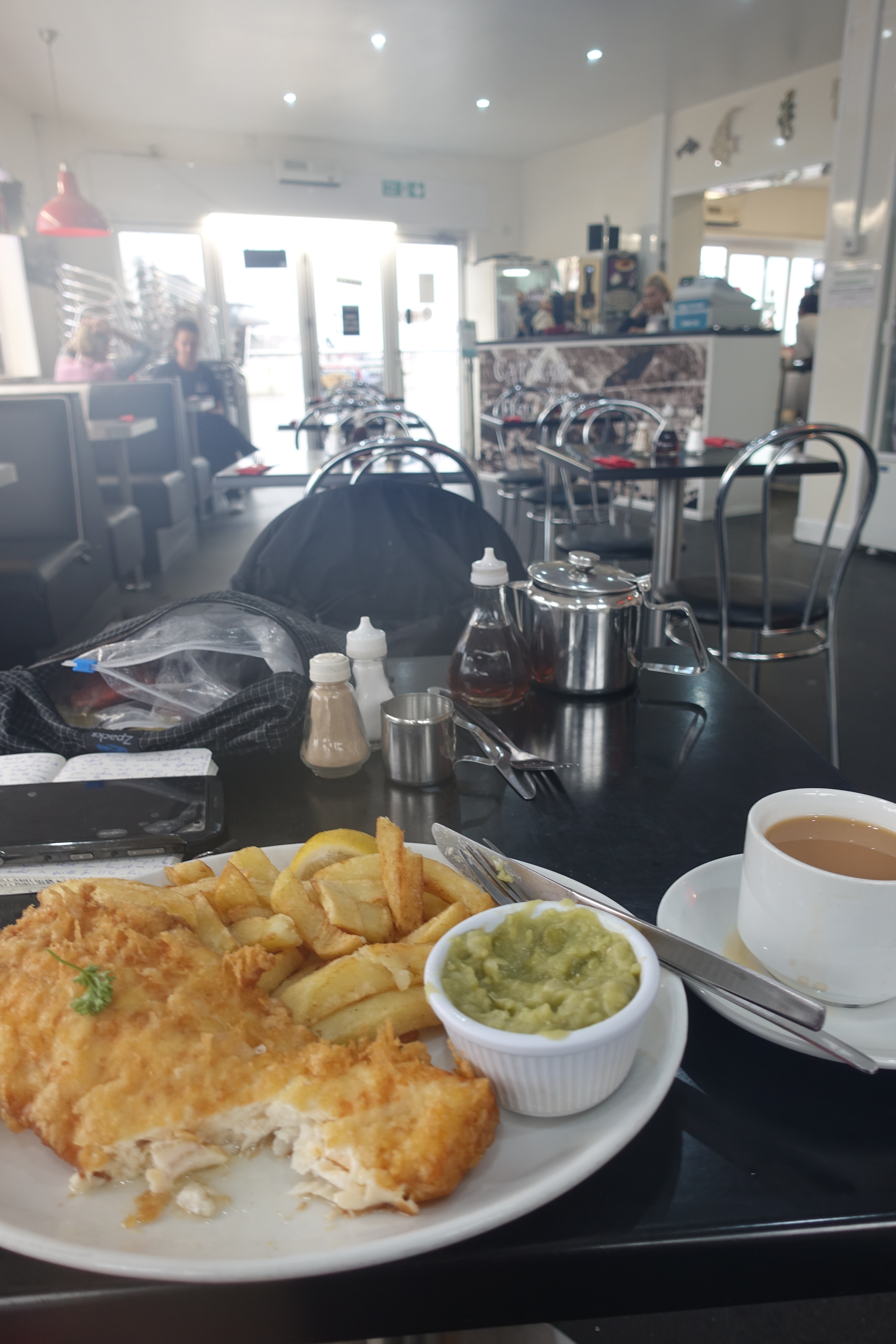
Excellent haddock and chips are to be had in the Cat Nab Fish Bar, Saltburn-by-the-Sea
Victorian Saltburn looked pleasant enough but the heavens opened. I doubt it could have rained any harder if it tried. Making my way down to the coast I sought lunchtime refuge in the first (and only) chippy I passed. I walked in dripping and unpeeled my sodden pack and outer clothes. Tucked away at the end of the cafe the staff pointedly ignored the growing pool of water beneath my table as it drained off me and continued to bring me pots of tea while I tucked my meal away and waited for the deluge to cease outside.
Beyond my lunchtime halt I had no need to pause any longer and was soon walking up on to the cliffs for the next part of my trail. The Cleveland Way really is a walk of two halves. The first part loops up and round the edge of the North York Moors, following the Cleveland Hills. Then, leaving the moorlands, the coast is reached at Saltburn and the trail completely alters. I was now going to follow the coast southeast to Filey. The coastline rises and dips along its length, edges are crumbling and dodgy in places. Winds can threaten to throw you over the edge and muddy slippery tracks add to the fun. I was looking forward to it.

Now garbed in hard shell and rain skirt, I climbed the cliffs and left Saltburn-by-the-Sea behind me
The trail wanders up and down the cliffs. Some sections bring you right down to sea level before climbing back up. The clouds were heavy with rain and the wind picked up, bringing passing inconsistent squalls
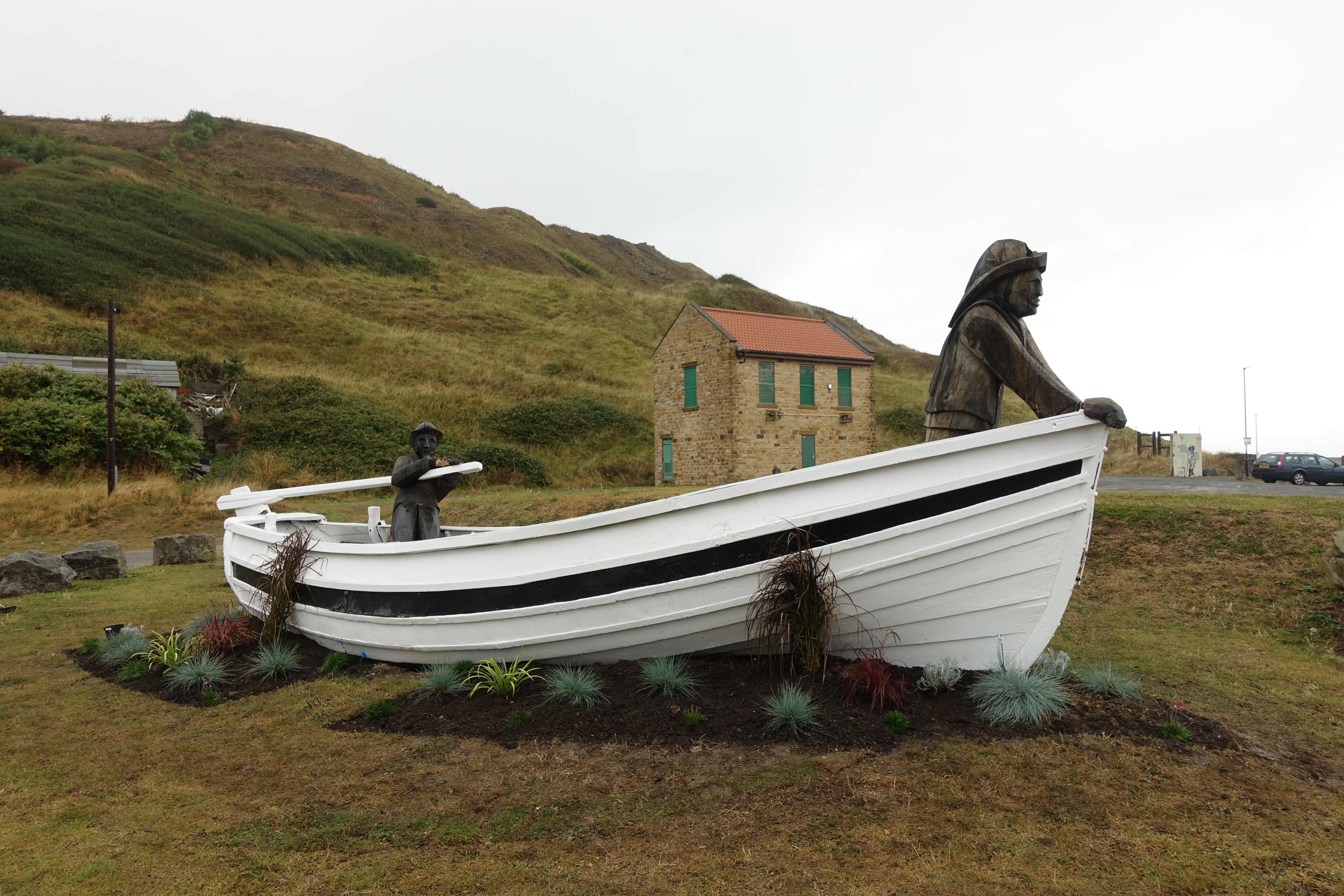
Beside the trade in minerals and ore, the villages along the coast have maintained a small yet important fishing industry. Though much reduced today, a pride in this heritage persists

Erosion of the cliffs is constant. Some sections of path have had to be re-routed where the original path has disappeared over the edge
I reached Staithes in the afternoon. This is such a pretty place with steep streets, winding narrow alleys and clusters of old buildings. Unbelievably picturesque, it must draw photographers and artists in their droves. Again, I had no need to halt beyond taking a few photos, so passed through and continued the trail. But this would have been a lovely place to stop the night.

Crossing the Staithes Beck in to town on my first day on the coastal path
As it was, I only had three or four miles to that nights halt at Runswick Bay but had to get a bit of a shift on as daylight was fading. When I reached it, the outskirts of the little town felt odd, a bit run down, as many parts of the coast are. Once I had finally found the hidden driveway entrance to my campsite I walked in to the huge site. I arrived late and reception was closed but I had already paid and was pre-booked in, a note on the window instructed me to pitch just about anywhere on the almost empty site. There were no other hikers, no tents of any description and just a few camper vans. I got the impression as the evening drew on and through the night that many people were coming in late, hooking up to electric supply, using the facilities and vacating without paying, before the site managers arrived in the morning.
I pitched close by the shower block with shelter from the wind. I was the only one there with no other campers within at least two hundred metres yet two late arrivals decided to park close by, with consequent slamming of doors, music and chatter for a few hours. Having made good use of the clean shower block, I changed into ‘town garb’ and walked down to the Runswick Bay Hotel to enjoy a couple of fairly indifferent pints of Cumberland Ale and an equally average and overpriced trio of sausages, mash and peas, complete with uncooked onion in gravy. Nonetheless, I was hungry and it was all appreciated. Back to the tent for ten for a good nights kip. No rain forecast tonight.

Pitch at Runswick Bay
Day 5- Runswick Bay to Robin Hoods Bay

Beermat from the Helmsley Brewing Co. celebrates the fiftieth birthday of the Cleveland Way in 2019
Having slept well, the campsite being silent for much of the night, I rose at six as I wanted to get away fairly promptly. Perhaps because I had started pretty fast in the beginning part of the trail and I was lacking ‘hill fitness’ I was feeling a little weary on the climbs. I also hadn’t been sleeping well consistently which can have a gradual debilitating effect. I knew I had a bit of ascent to complete today despite only being a 15.9 mile section and wanted to give myself plenty of time to take it steady and continue enjoying my trail. The Cleveland Way was shaping up to be a superb walk. You could look on it as a mini Pennine Way as there are some similarities. It would make excellent training for that great trail, completed by Three Points of the Compass in 2018.

Day 5. Leaving Runswick Bay behind
I skipped breakfast with the expectation of finding some later in the morning. Down into the quiet streets of Runswick. It has endured tragedy in the past. The entire village slipped into the sea in 1664 and the new red roofed houses were rebuilt further back. The tide was out so I was able to walk along the sands, past the boat club to the second ravine where I climbed back to the top of the cliffs.This section of coast endured considerable mining for Alum and the scars of the former industry are frequently visible particularly at Kettleness where the extensive alum workings, derelict railway and tunnels can be seen. Greatly enjoying my walk along here I followed the old cinder trackbed into Sandsend where I at last had a brekkie of sausage and bacon roll with pot of tea at the Tides cafe.

19 foot tall Whalebone Arch on West Cliff framed my arrival at Whitby
Beyond Sandsend it was less than a couple of hours to Whitby and despite my late breakfast I had a particular place in mind for lunch. I have visited Whitby a few times over the years and one restaurant is a favourite of mine, with good reason as the traditional Magpie Cafe enjoys a reputation that extends far beyond the town boundaries. I arrived at midday and remarkably there was no queue as yet. I tentatively approached the desk and enquired as to a table for one. Very conscious that I was mud daubed, didn’t smell too good, was unshaven and not the clientele they probably desired. The staff never batted an eyelid. Showed me to a prime window table that I declined, preferring to tuck myself and my pack away in a corner, hopefully unobtrusive to the lunchtime crowd out for enjoyment not tribulation.
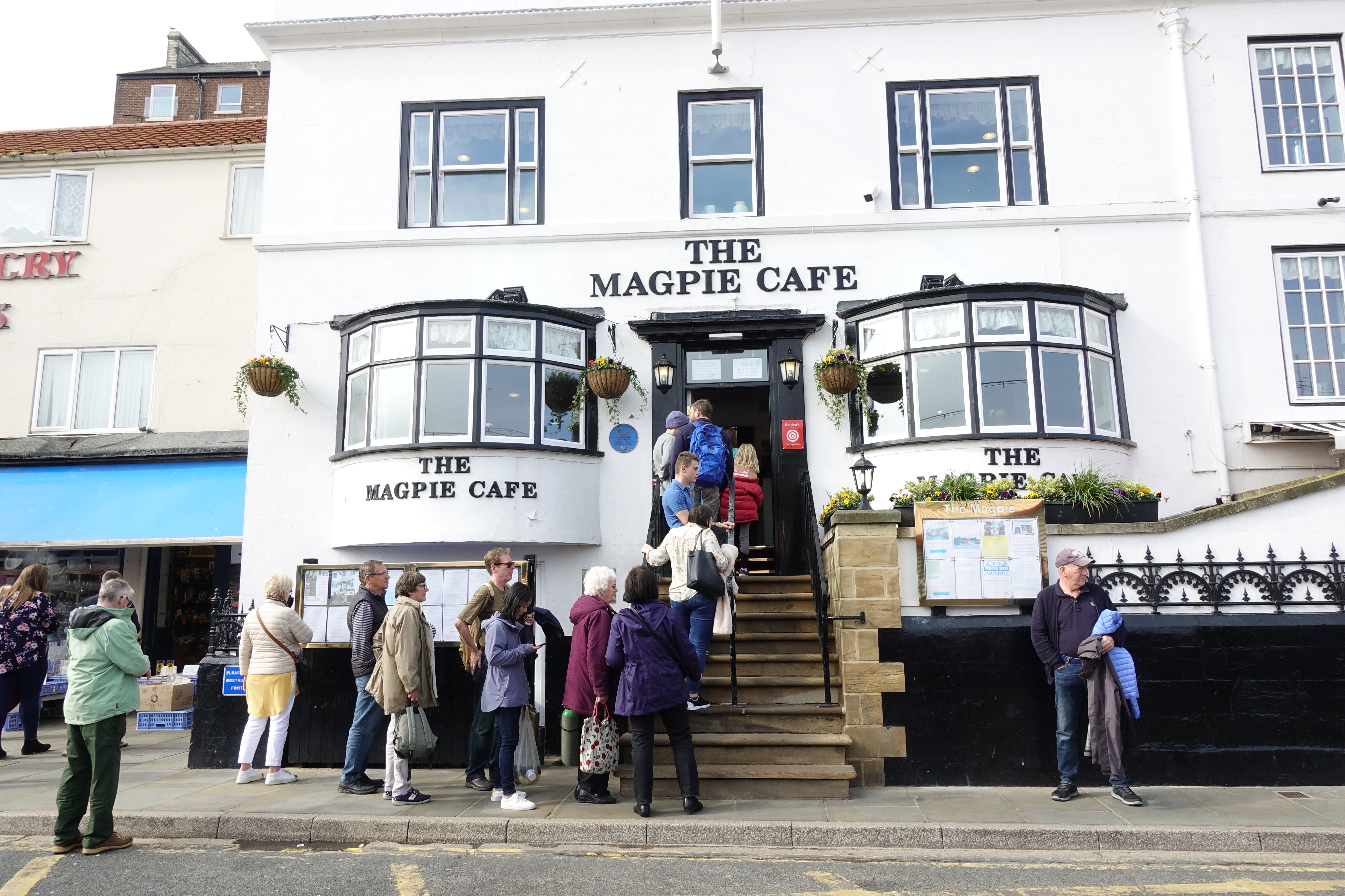
The fantastic Magpie Cafe- an unmissable lunchtime halt
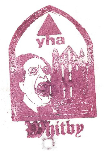
The YHA maintain a public cafe near Whitby Abbey. Bram Stoker’s Dracula features on their handstamp
Lunch was Whitby Scampi, mixed salad plus pints of beer and water. Really enjoyed this and exited to find expectant diners queuing down the steps and along the street. The seaside town was heaving with visitors and its continued fishing industry is very apparent, though obviously diminished from its previous heyday. There is a strong literary tradition here and when I visited in the past it was hosting the bi-annual Whitby Goth weekend which is both odd and fascinating.
 I crossed the River Esk via the swingbridge and climbed East Cliff via the 199 steps to the prominent ruins of Whitby Abbey. This was the third Abbey I had explored on the Cleveland Way and it enjoys a very good explanatory museum where I spent probably more time than I could afford. But, I’m on holiday….
The Cleveland Way brushes right past Whitby Abbey and Three Points of the Compass took time off from trail to explore. A monastery was founded at Streanæshealh (the original name for Whitby) in AD 657
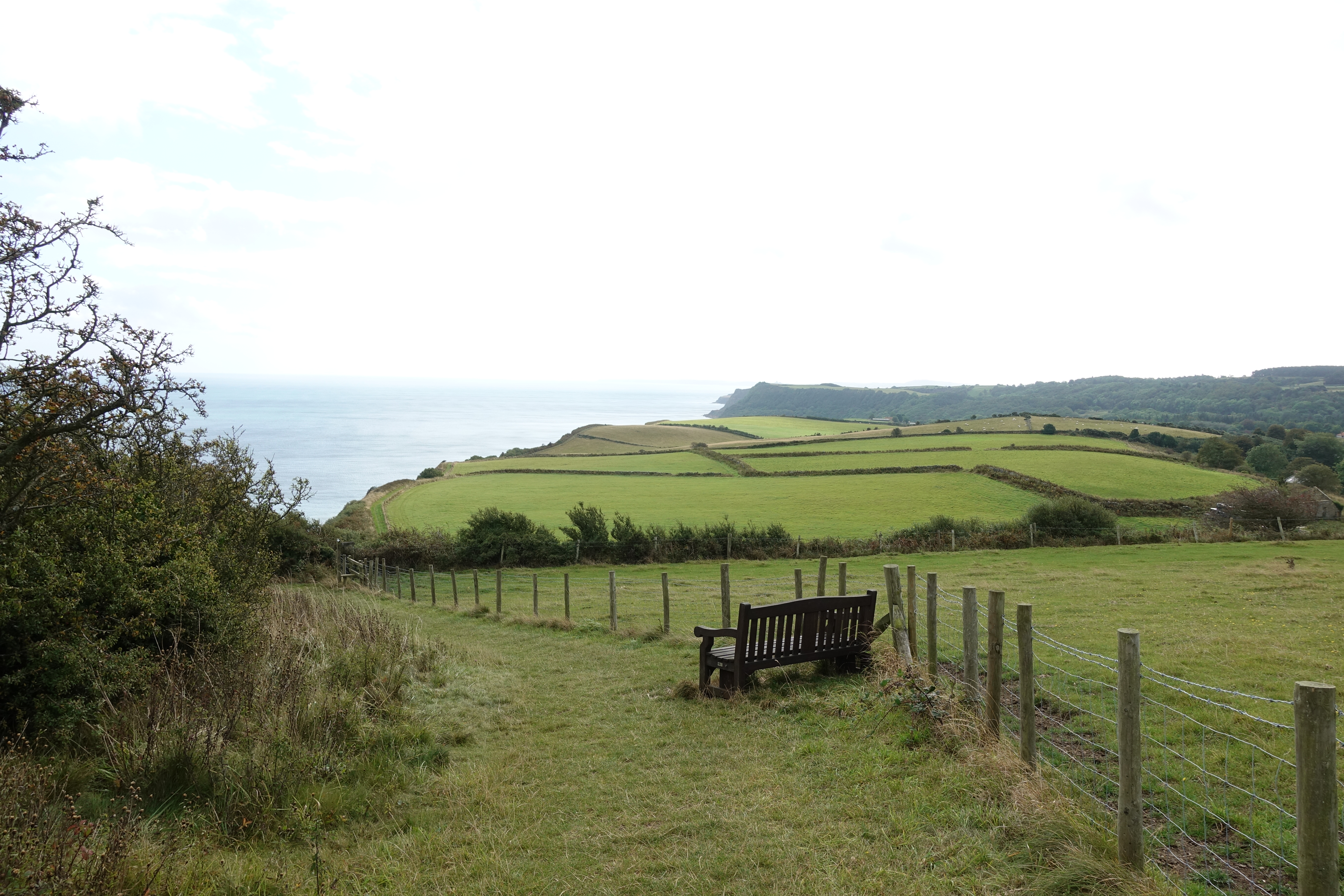
The afternoon miles came slowly but the good coastal walking still led me to an arrival at Hook House farm campsite just a little after five. I was invited by Gill into her farmhouse for a cup of tea but politely declined as I wanted time to set camp, shower and enjoy the view of gathering dusk over Robin Hoods Bay below. There was thick rolling mist but this gradually cleared and while standing eating tonight’s lentil curry, I watched a Barn Owl quartering the field beside me. The sky was filled with stars, a satellite passed overhead, various town lights far below were lit then gradually extinguished. It was a lovely night.

Farm pitch gave a great view over Robin Hoods Bay when the mist cleared
Day 6- Robin Hoods Bay to Scarborough
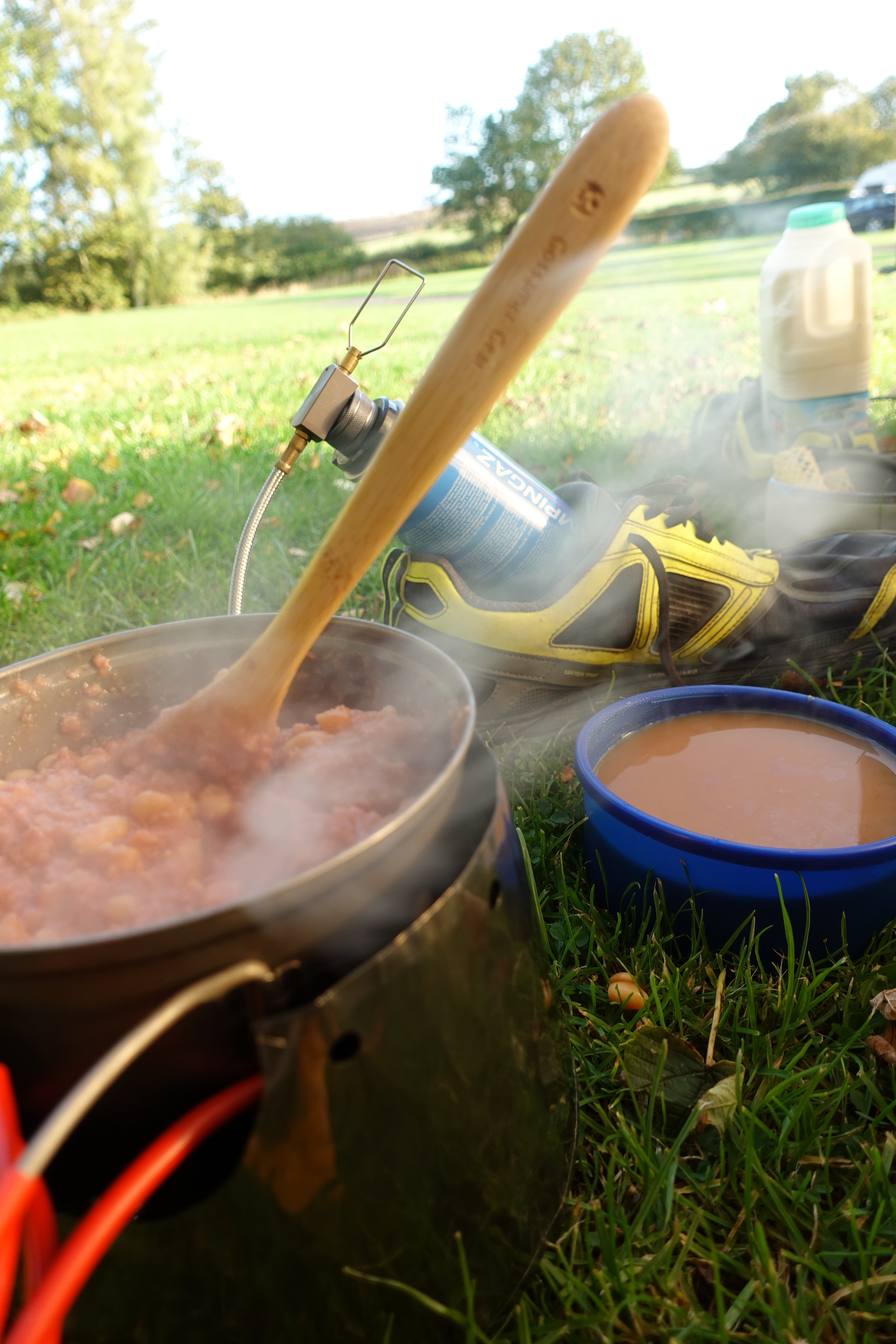
I slept pretty well until the wind built and heavy rain passed through, this cleared by dawn however and I rose at six-forty five. For some reason my phone had lost almost all battery charge overnight so I put my Anker powerbank on for a couple of hours charge before leaving as I was unsure what opportunity for this would present itself over the next few days. As it was, once I had packed and was ready to clamber out and strike tent, the rain started hammering it down. With just 13.7 miles to complete today I thought what the heck, put the stove on and enjoyed a further two pints of tea eating spoonfuls of peanut butter while I waited for it to pass.

At low tide, it is easy walking out of Robin Hoods Bay at the foot of the cliffs
Rain halted at nine thirty and I packed and left the site. Needless to say it started up again immediately and that was the pattern of things for the remainder of the day. Reaching the lowest part of the road before the sea, I checked with a couple of fishermen working at loading their small craft. Actually, one was doing all the work while his mate sat in the boat doing nothing but direct activities. Assured that I had a couple of hours walking and wouldn’t get stranded at the foot of the cliffs with a rising tide, I was able to keep low and walk to Stoupe Beck where I then had to climb the cliffs to carry on. A fit young lad that had been digging for lugworm strode past me up the steps, wearing wellingtons and carrying a bucket and spade, he was travelling at a rate of knots that I can only dream about. I asked if the bait was for him or for sale- “too much like hard work for sale”.
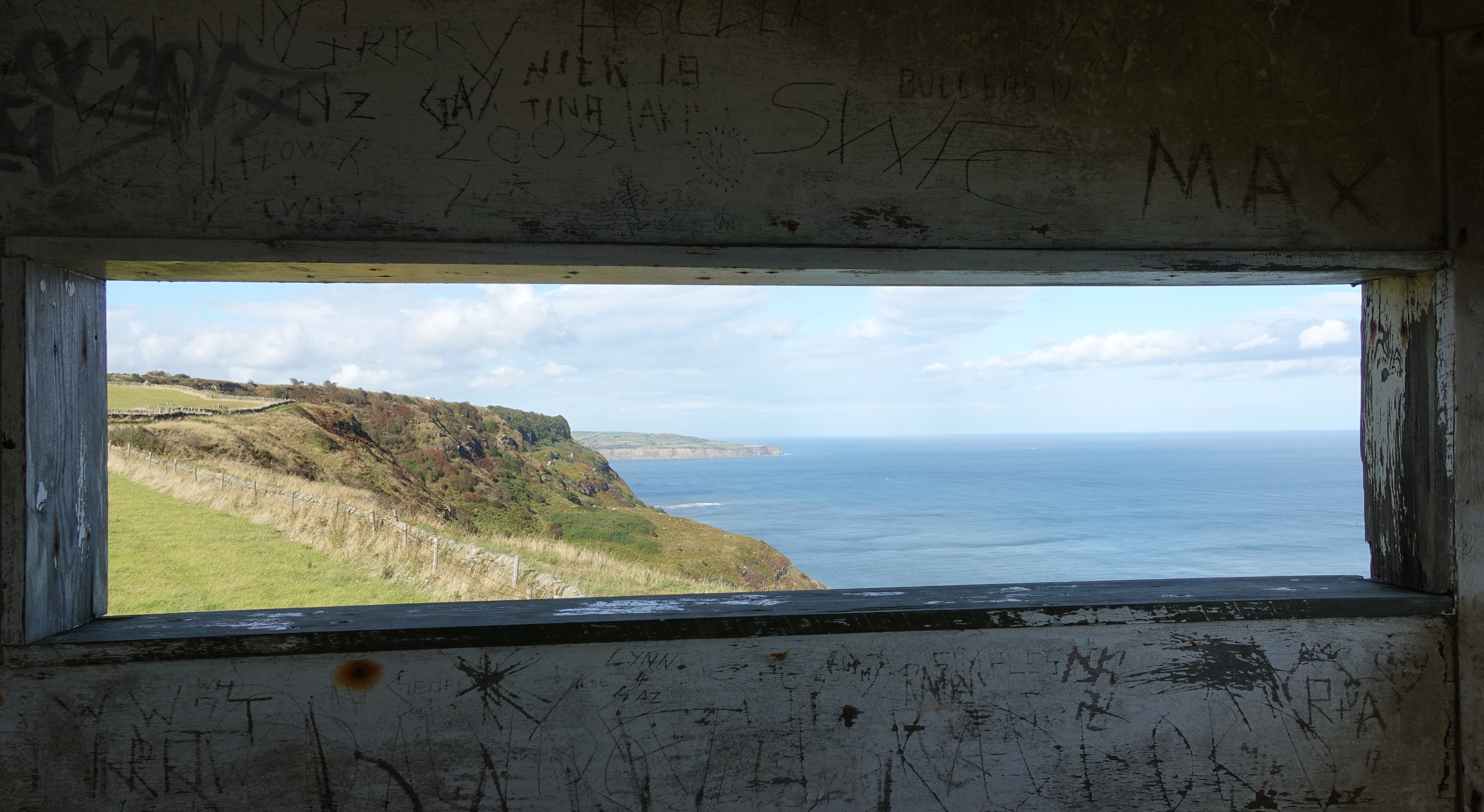
Visiting the disused Coastguard Lookout station near the World War II Ravenscar Radar Station
There are a number of climbs along this section (needless to say), and a stiff climb inland past abandoned alum works and Ravenscar brick works. I left the trail briefly here for a couple of hundred metres to visit the Ravenscar tearoom for lunch- Two pots of tea, bacon sandwich followed by quiche and beans. All very good and I exited to bright sun. Though that never lasted and heavy rain squalls passed for most of the afternoon. Little toads crossed my path frequently. I paused beside a wire fence briefly and rested my poles against it. A previously unseen hare shot out from beneath them and crossed the field.
Easy walking in parts but the grassy slopes are like ice after the heavy rain
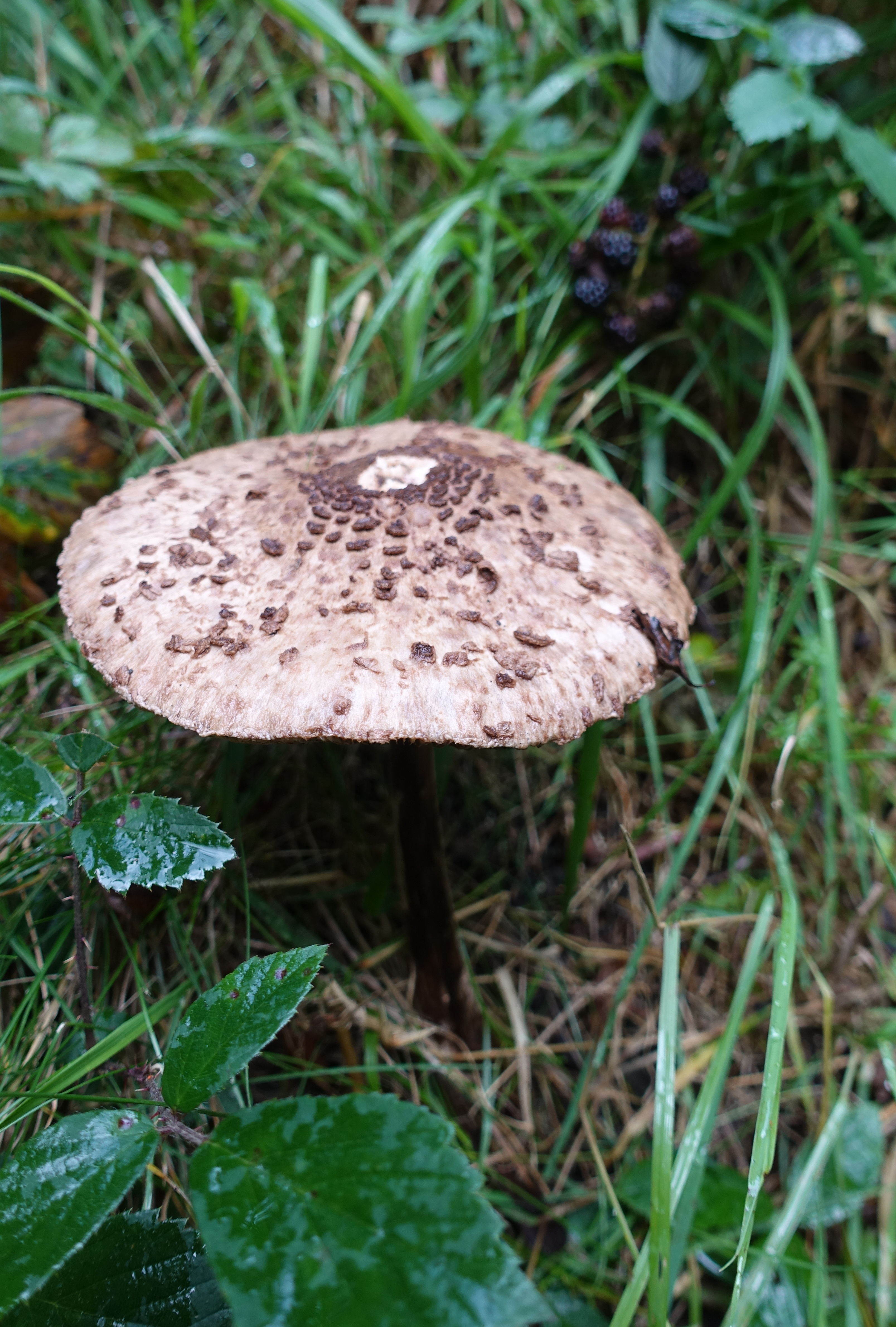
This was an autumn walk and fungi were much in evidence
Most of the paths were pretty slippery after the heavy rain, none more so than the big descent and rise at the Hayburn Wkye hollow. It would have been very easy to come a cropper here and I slowed right down in order to remain upright. I took the very short side trail to see the little waterfall that drops to the beach here but it is hardly worth the additional effort. I wasn’t actually going as far as the town of Scarborough today. Instead I turned off inland shortly before it to go to the smart Camping & Caravanning site at Scalby Mills. I received the usual friendly welcome these sites are known for and was told there was a problem with my previous online booking and payment. I was then refunded much of my payment and given a special ‘backpackers’ rate that is not shown online. Ray showed me to a pitch but when I enquired if there was anywhere more sheltered, he then took me to a lovely quiet little pitch away from all disturbance and well sheltered, I also got exclusive use of a family bathroom block nearby. Result!
Tent up, gear sorted, showered and clean. Did some laundry and hung it to dry over the radiators in the bathroom. I had a short day tomorrow to the trail end and it was time for a decent meal. The Stonehouse Carvery is quite close to the site and a side gate from the campsite led straight to the rear of the pub. I enjoyed the basic carvery priced at £6.99 and returned twice for extra veg. I also managed to bag the only table that had a nearby plug socket so charged my phone and powerbank while eating. A couple of pints of Black Sheep and a bottle of Shiraz saw me mellow and re-hydrated. Back to the tent for a good nights kip.

Pitched at Scalby Mills Camping & Caravanning site
Day 7- Scarborough to Filey
Breakfast on the final day on the Cleveland Way
I slept well and this was my final day on the Cleveland Way. With just 11.9 miles to do, I made a leisurely start. Breakfast of tinned beans and corned beef (purchased from the site shop) along with lashings of tea with real milk. I was returning to this site after today’s hike so was travelling light. The pack and tent and almost all gear remained at Scalby Mills and I simply carried my Z Packs chest pouch packed with Patagonia windshirt, mapbook, Cicerone guidebook, journal and pen, phone and camera, full water bottle and some money. I was away from site for nine thirty and through the outskirts of Scarborough to the promenade. Though very run down in parts, Scarborough retains a lot of character and I enjoyed my unencumbered walk amongst the crowds. Beach huts were newly and brightly painted. Despite the crowds, the mini-golf looked tired and the promenade mini-railway unused.

Busy fishing harbour at Scarborough
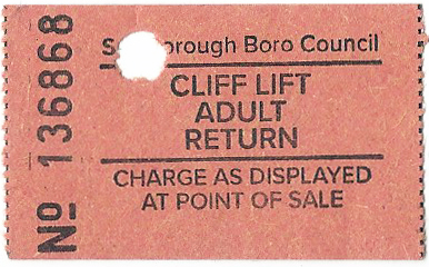
Three Points of the Compass had a treat in store today. A fan of working Victorian engineering and funicular railways in particular. Scarborough is well served, though not to the extent that it once was. With a town at the top of the cliffs, a way had to be found to encourage visitors to the bottom and steep cliff railways, or funicular, were built. There used to be five and two remain working today. My first was the Central Tramway, opened in 1880 and operating from 1 August 1881. I paid my £2 and enjoyed a return trip up and down. The operators seemed a little bemused by my almost immediate return to the bottom.
Art deco decoration in the 1932 replacement cars on the Central Tramway
South Cliff Lift funicular railway ticket

Descending on the UK’s oldest funicular railway at Scarborough
Just a short way on from here is the St Nicholas Cliff Lift operating from 1929, both cars are now permanently parked at the top and form part of the cafe there. Again, just a short way further on is the first funicular built in Scarborough, opened in 1875. This was also the first funicular built in the UK. This is the South Cliff Lift and I paid my £1.60 return journey and went up, pottered around for a few photos and back down to the base. Though older, this is a tattier affair than the Central. I doubt there is much money to be made here and little to pay out on expensive restoration. Still, a bit of thrill for me.
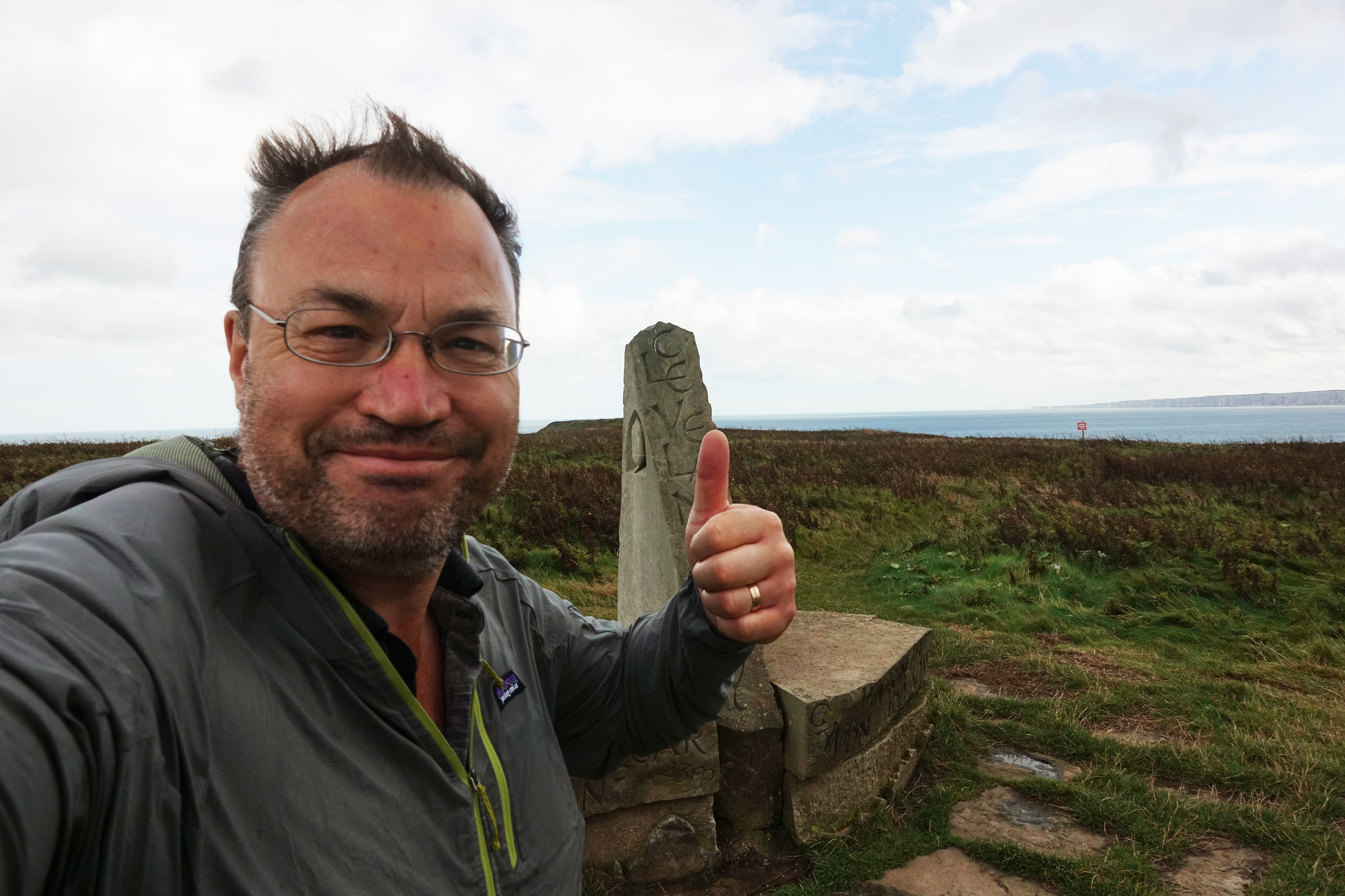
At the end of the promenade it was a walk back up to the cliff tops and onward. Good walking, lots of day trippers, some rain showers, both light and heavy, the wind quite strong and threatening to push me off the cliff edge. Though I was only carrying a windshirt which eventually wetted out, I was warm beneath this. I dropped down to Cayton Bay for lunch. Two mugs of tea and a massive cheeseburger were £8.60. The weather really kicked in for the afternoon all the way to the stone sculpture at Filey Brigg. A couple of people paused from battling the elements during their brief walk from their car to take my ‘triumphant’ photo. The rain briefly cleared off and I then walked out to the end, the tide was in so thankfully I didn’t have to brave Brigg End.
The end
That may have been the end of the Cleveland Way but I still had to get back to Scarborough. The stone sculpture not only marks the end of the Cleveland Way but also the beginning of the Yorkshire Wolds Way. So I followed the acorn markers for this path down into Filey where I caught a bus back to Scarborough. Yet again, it was bucketing down outside. Changing buses outside the railway station for another that took me back to my campsite. Once back at the site, another welcome shower and into insulation layers as the temperature had dropped. Back down to the Stonehouse for another carvery and bottle of Shiraz. Not only was I celebrating my successful completion of the Cleveland Way, but I was stacking up calories before hiking out again the following day. My aim was to follow the 50 mile Tabular Hills walk back to my start point at Helmsley.
Three Points of the Compass does not always blog on the trails walked. Links to those that have been covered can be found here.
