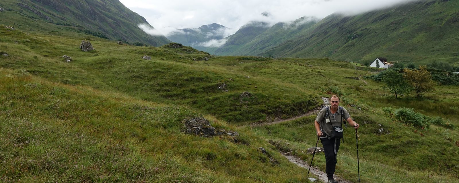

Backpacking along the edge of the Peak District, hills to my left and the Cheshire Plain stretching far off to my right. It snowed, rained and (occasionally) shone brightly for this three day February trip. The Gritstone Trail went up, it went down, very rarely was it flat. Regardless of the gradient, mud was a frequent companion.
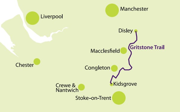
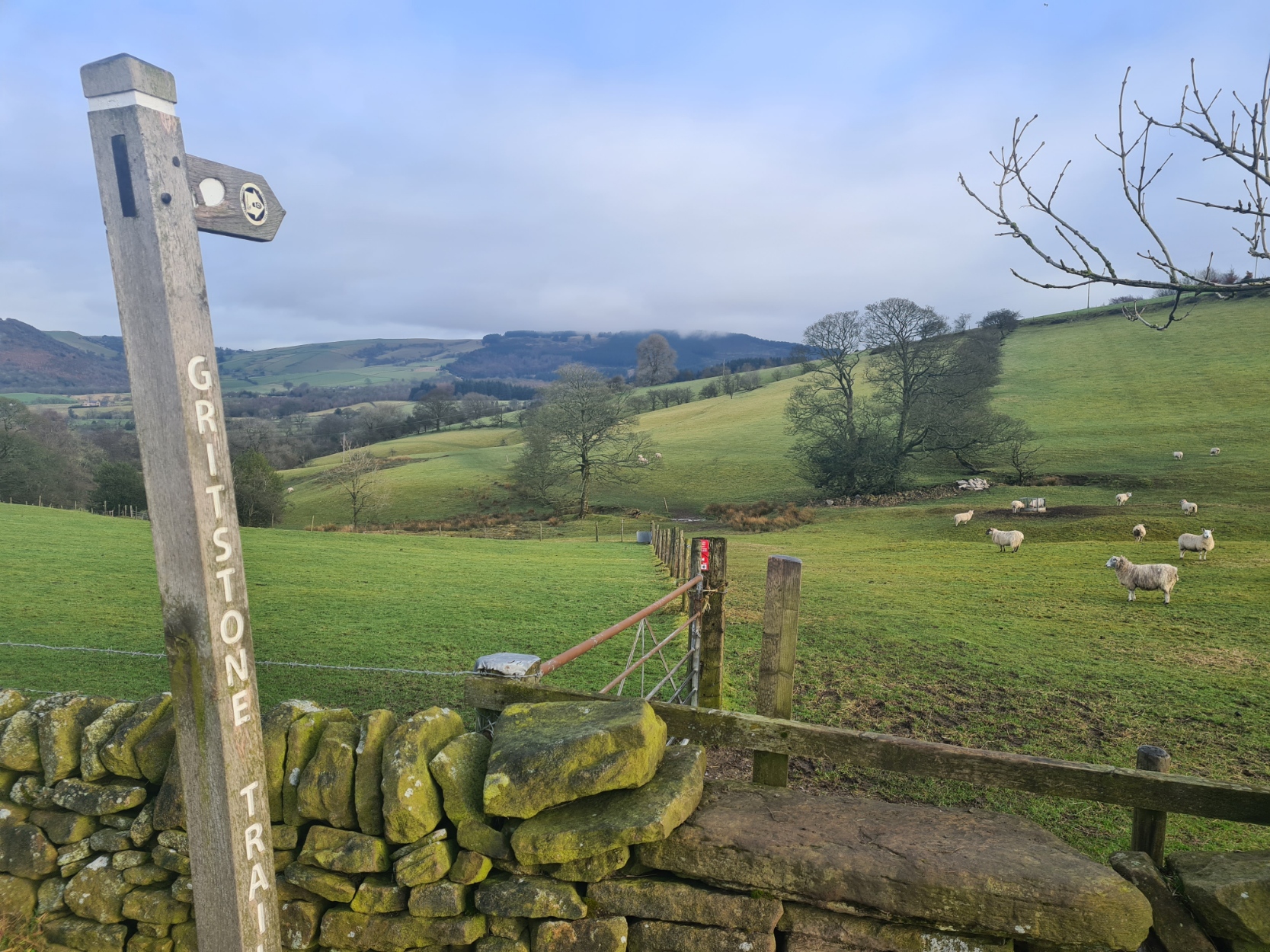
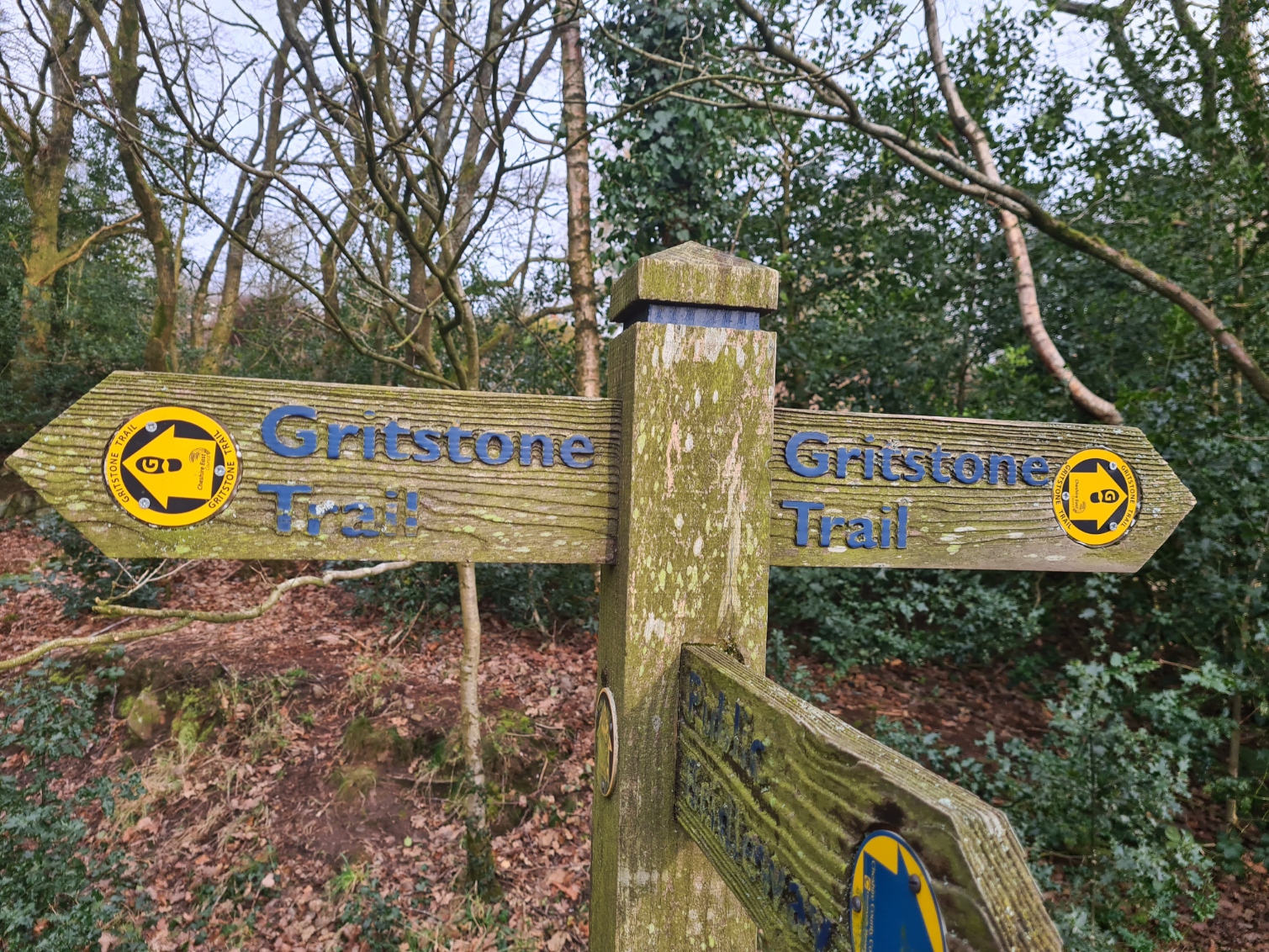
The Gritstone Trail is 35 miles (56km) in length and runs along the western edge of the Cheshire Peak District. It can be walked in either direction but most people walk north to south and that is the direction that Three Points of the Compass followed. I had no wish to use hotels or B&Bs so backpacking was an easy choice. A glance at the map pointed out two likely places for wildcamping on the two nights of my three day hike, though a change was made from the first on the actual day, more on that later. I carried all the food I required and anticipated little difficulty in finding and filtering water en-route, correctly as it turned out.

For mapping, all I required was the 1:25 000 O.S. Explorer sheet 268 plus a small print out of the relevant part between Disley railway station and Lyme Park, this was from 1:25 000 O.S. Explorer OL1 for the Dark Peak. Leaving home late at night, I drove through the small hours to Kidsgrove railway station carpark, arriving with time to fit in an hour and half kip in the car before leaving it to catch the early train northward to Disley. Leaving Disley it is a short walk up into the low hills to National Trust Lyme Park with its heavily over-stocked deer population. Despite the February cold, I was enjoying sun for this first stretch, that wasn’t to last much longer.

There are 1400 acres of moorland, woodlands and formal gardens and the trail passes though much of it. Grade I listed Lyme House itself is the largest mansion house in Cheshire though everything seemed to be closed up and the only movement was rangers tractoring around putting out supplementary feed for the deer. It had been gentle climbing so far and I gradually gained more height. The Cheshire Plain stretched off to my right and the distant tall tower blocks of Manchester could be clearly seen behind me. over my right shoulder.

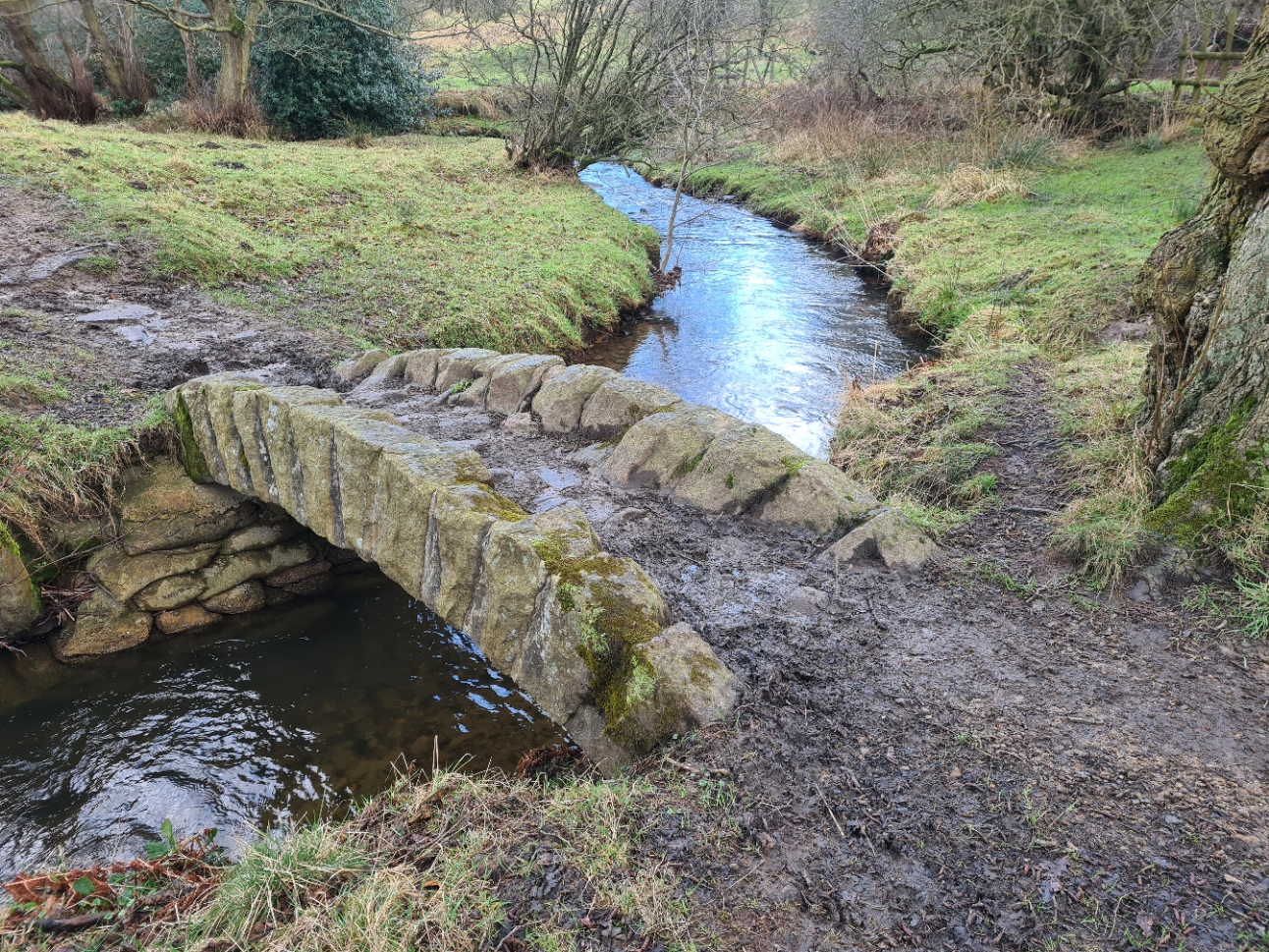

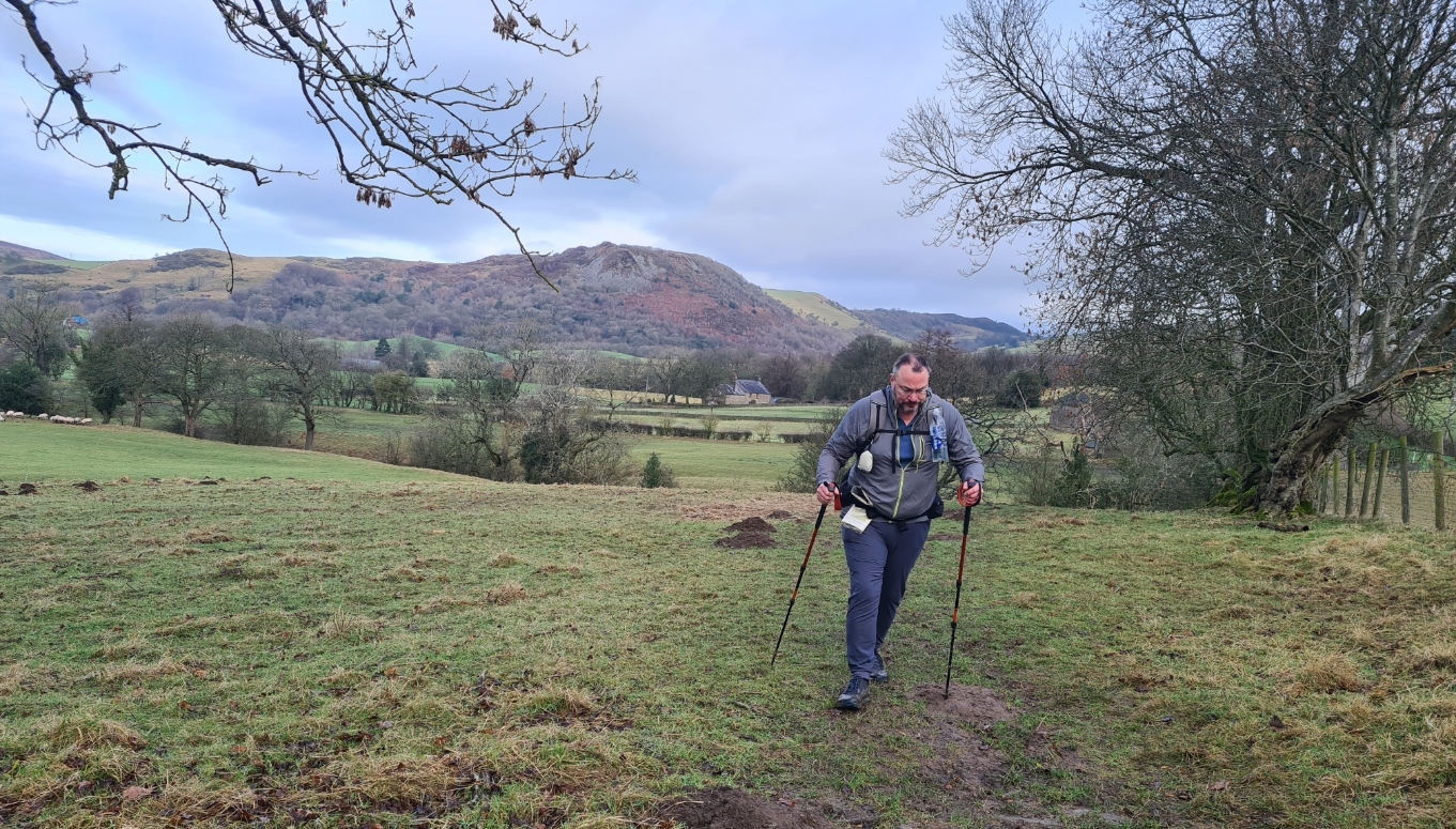
Almost all of the, admittedly few, accounts of this trail say that the first stretch from Disley to Teggs Nose Country Park is just over ten miles (17km), it isn’t. I worked it out to be around 13 miles plus a little more to get down off the top and to a halt for the night. Whichever was the correct figure, I was already finding the going a little slow. The trail does follow short stretches of quiet tracks or roads but for the majority is crossing fields and moorland with short woodland stretches. I settled into what would be typical trail terrain, at least until the final couple of hours on the final day. This was long gentle climbs or descents, or short steeper climbs or descents. Very rarely was the trail flat and even. Mud was everywhere but my choice of trail runners was fine as I could normally pick my way round deeper muddier stretches. I carried trekking poles and these were essential to keep upright on slippery descents and for safer crossing on exposed rocks across frequent streams.

From the Bowstones and along Sponds Hill it is an exposed walk with lofty views all around for a few miles. A cold winter breeze blew through me. This is the highest point on the whole trail at 410m/1345ft, but the occasion was slightly spoiled by tipper lorries dumping ‘something’ for the local farmer just a few metres from the trig point. My early sunshine went away and the wind picked up. I could see the banks of snow approaching but it never got unsafe or unpleasant. I simply zippered up the waterproof while it swirled around and against me as I trudged along sloppy tracks, snow periodically eased and I carried on until the next snow or rain bank passed by. I was already enjoying my day immensely but was conscious that winter daylight hours are short and I was unsure of what I would find as a wildcamp site at my day’s end target for the day.
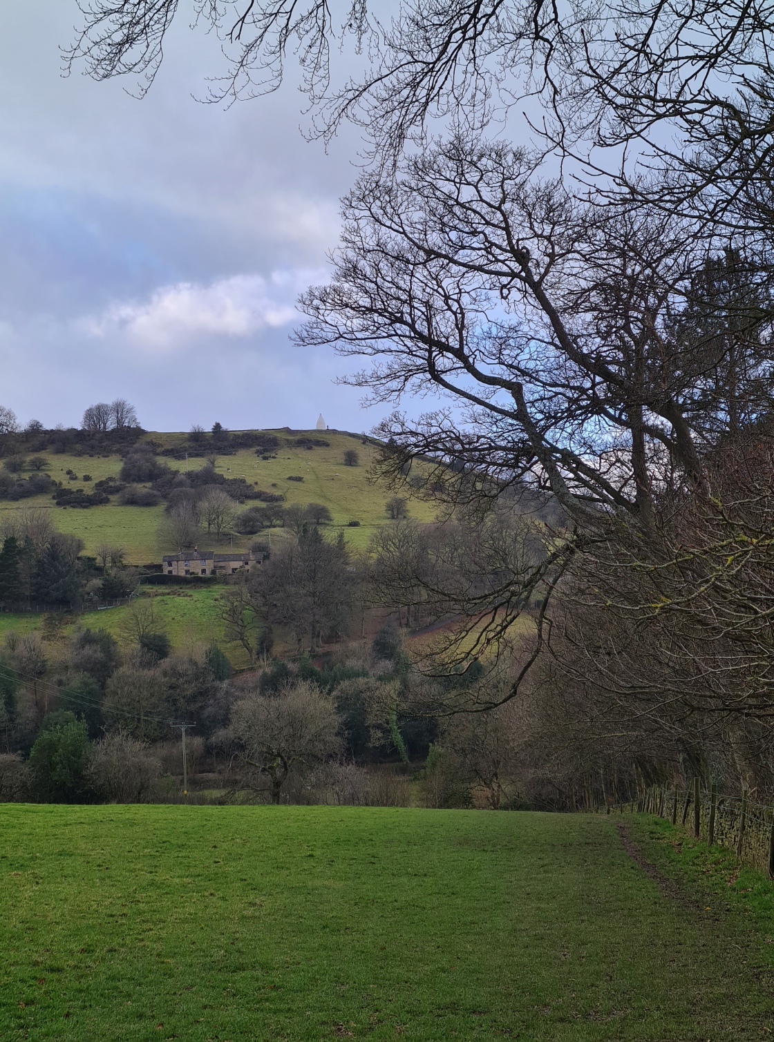

After one of the typical long drops down into a valley, rapidly losing all the height gained so slowly, I had a sharp climb up to the white nipple that is White Nancy, seen from miles around. Many of the taller exposed gritstone points have some sort of feature on this trail. If it isn’t a trig point, it is invariably a radio mast or memorial to someone or other. Leaving windswept White Nancy behind I enjoyed a sort of ridge walk along Kerridge Hill with views off to The Roaches on my left but for some reason the trail veers off and descends down the flank, skirts round the east side of the little hamlet of Brookhouse, before labouring back up the slopes. It would be better keeping to the ridgeline, descending to the west of Brookhouse and simply ascending on the quiet little Bull Hill Lane to where the signposted trail crosses the A537. From there I only had a mile to the visitor centre at Teggs Nose Country Park.

I never called in as the sun was rapidly sinking. There were quite a few visitors enjoying the windy Teggs Nose gritstone outcrop (380m/1246ft). I explored the old quarry workings but decided it was going to be too draughty up there, with too many late and early visitors with too many inquisitive dogs, to wildcamp there. I carried on and dropped down the slopes toward my alternative destination- Macclesfield Forest. This added a little to my days mileage (and also to the next day rejoining it) and added in yet another climb, but put me into quiet pine woodlands with plenty of opportunity to tuck myself away out of sight for the night. I had just enough time to get the Duplex up, gear sorted, a brief clean up, brew on and lentil curry cooked, before eating it in the dark. It had been a fairly strenuous first day with almost no sleep the previous night so, remarkably for me for a first night on trail, I slept well.

Breakfast on day two was simply the obligatory pint of strong tea followed by some Natures Valley bars as I trudged past the Ridgegate Reservoir to rejoin my trail. Wintering ducks were bobbing around on the water, Tufties, Gadwall, Shoveler and Teal were accompanied by a single Goldeneye. A single Great Crested Grebe kept itself to itself.
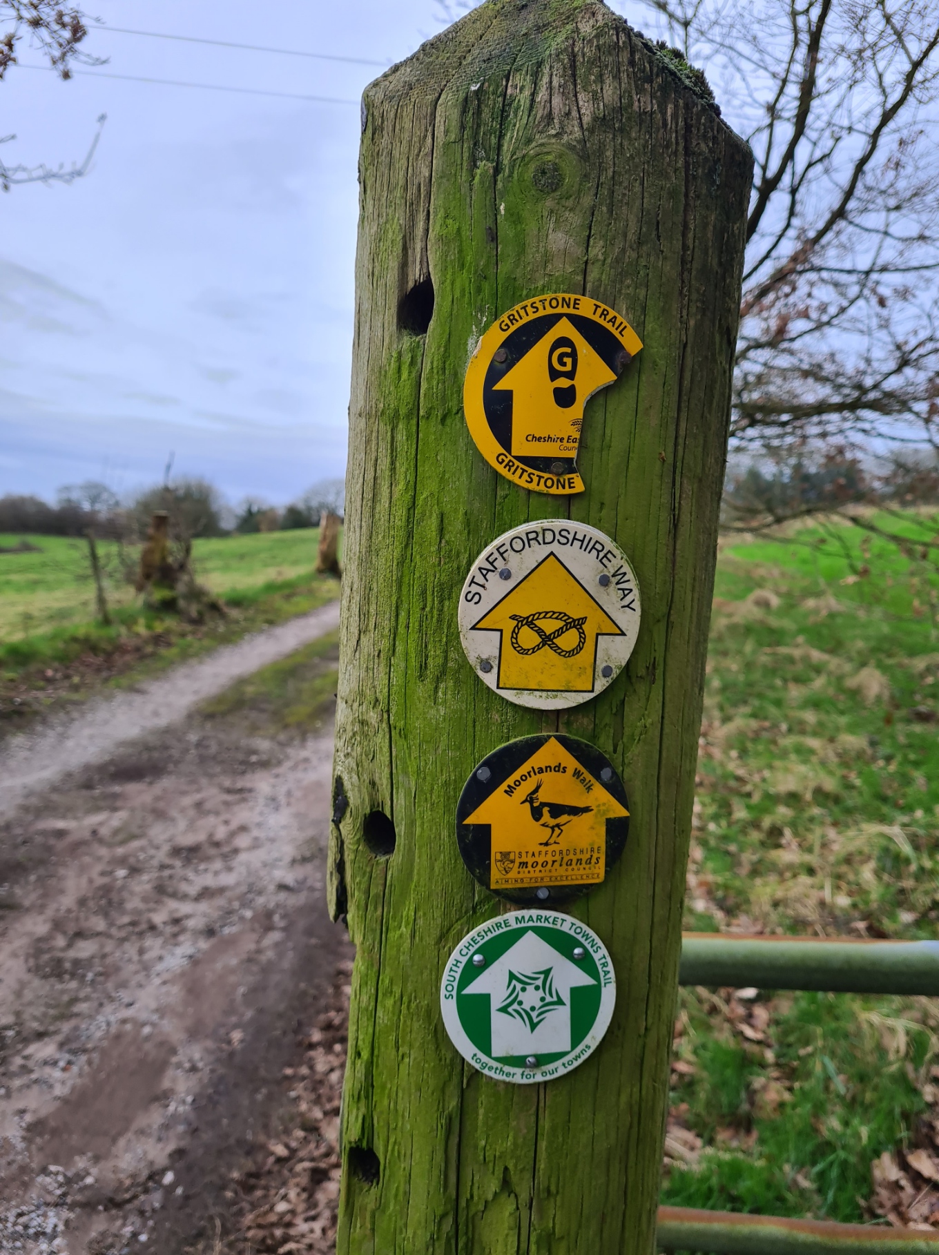
Day two is simple enjoyable Peak District walking. I saw few people during the day and had quiet trails almost exclusively to myself. There are two main climbs, firstly up Foxbank and on to the communications tower on Croker Hill, to finish the day with a final ascent of The Cloud which I reached in time to watch the sun set. Before my days end however, I had a series of little streams to cross, rough pasture and unkempt woodlands. After crossing and briefly tracking the course of the River Dane through its snaking valley, I also followed short sections of both the Staffordshire Way and Dane Valley Way. Climbing up to the radio mast I stopped to chat to a chap, who pointed out his narrowboat far below, a tiny blob of yellow on the hidden from view Macclesfield Canal. We took time out together to scan the Cheshire Plain, identifying Macclesfield, Stockport, Warrington, Crewe, Manchester and Liverpool, the distinctive Jodrell Bank observatory, and far off on the horizon to our left, the distant Cambrian Mountains in neighbouring Wales.

From the mast it was a drop down the mole-ridden sheep pastures to the A54 where it looks like the farmer has forced a trail diversion that creates a slightly dodgy walk along the road before striking off across fields again. Raven’s Clough was well named as I again encountered Ravens, kronking on the slopes. Bird life had been limited so far on this walk but I had seen numerous buzzards, two Red Kites and a single Merlin that briefly stopped on a dry stone wall just metres from me at my lunchtime halt.
The Cloud (343m/1125ft) owes its distinctive summit due to the Chatsworth Grit from which it is formed having been shaped by ice scraping around and across it thousands of years previous. Like Teggs Nose the previous evening, it is an obviously popular place for people to visit of an evening but I had the best of the sunset to myself before leaving to try and find somewhere for my night’s halt. I was to find out later that evening that mountain biking to the top in the dark seems to be a local custom so it is wise to keep inconspicuous if wildcamping on its flanks. There was also a small but steady stream of locals walking up before dawn the following morning. There wasn’t much in the way of level, thorn free space on the lower slopes of Cloud Plantation but it wasn’t too difficult to find a large enough space to throw the Duplex down. A quick meal and brew, tent wash and sort out of gear in the dark and another early night after a good day on trail.

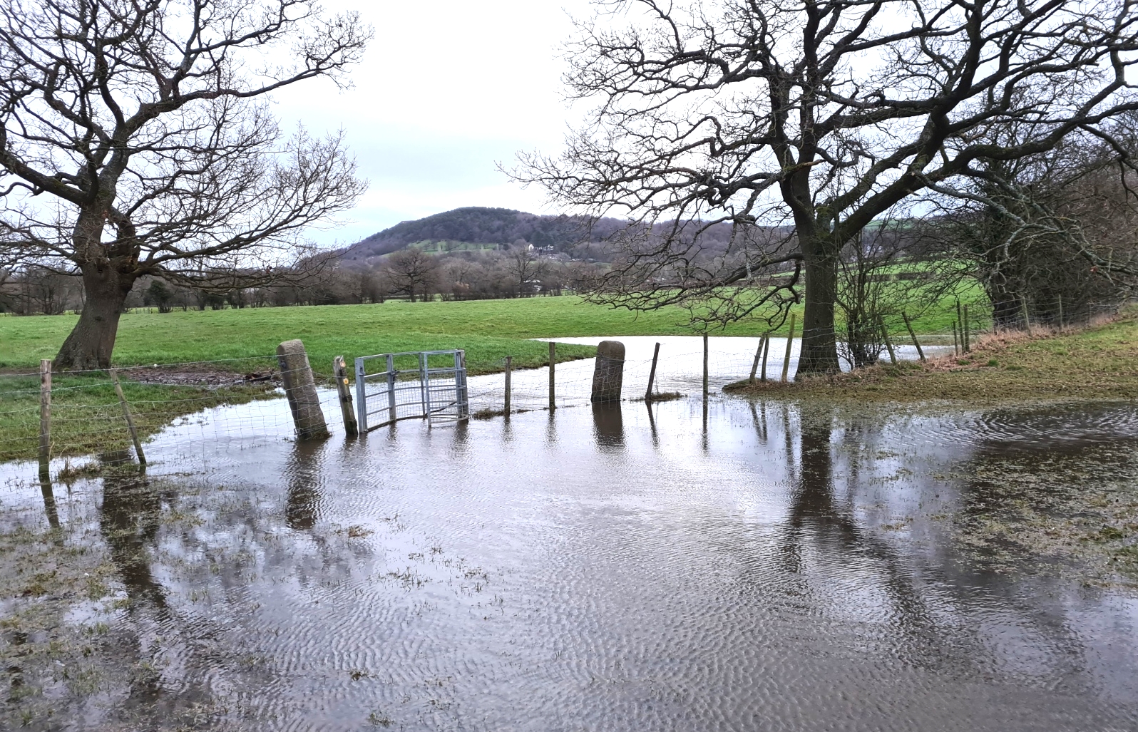
I was up before dawn as I wanted an early finish to my final day on trail before my long drive south. The third day is by far the easiest, and if being honest, poorest of the three. But it does have some different features. After my large strong tea and sorting out of snacks for when it was light. I packed a bag of unwanted rubbish and a smidgen of uneaten food for depositing in the first bin I found. Having struck camp it was headtorch on, crash through the undergrowth to rejoin the path and through a slumbering Timbersbrook before splodging through sheep trodden muddy fields. Flooding of the trail was fairly bad on this first section and I was a bit relieved to briefly join the Biddulph Valley Way on the route of the old railway (1860-1972) that once carried sand from Cheshire to the Potteries, returning with coal for Congleton. Popular with cyclists and joggers, I saw more people on this short two kilometre stretch than anywhere else on the trail.
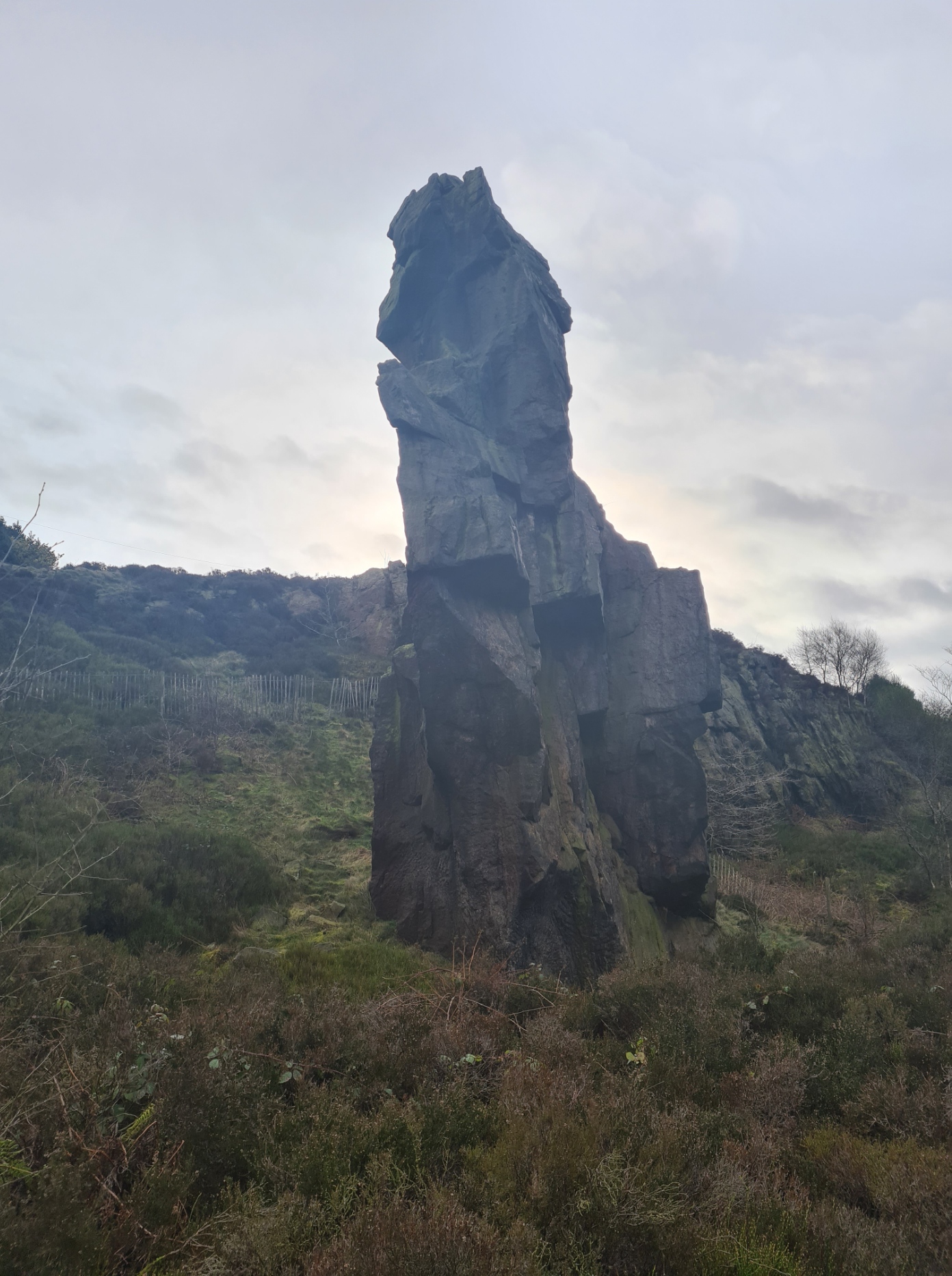
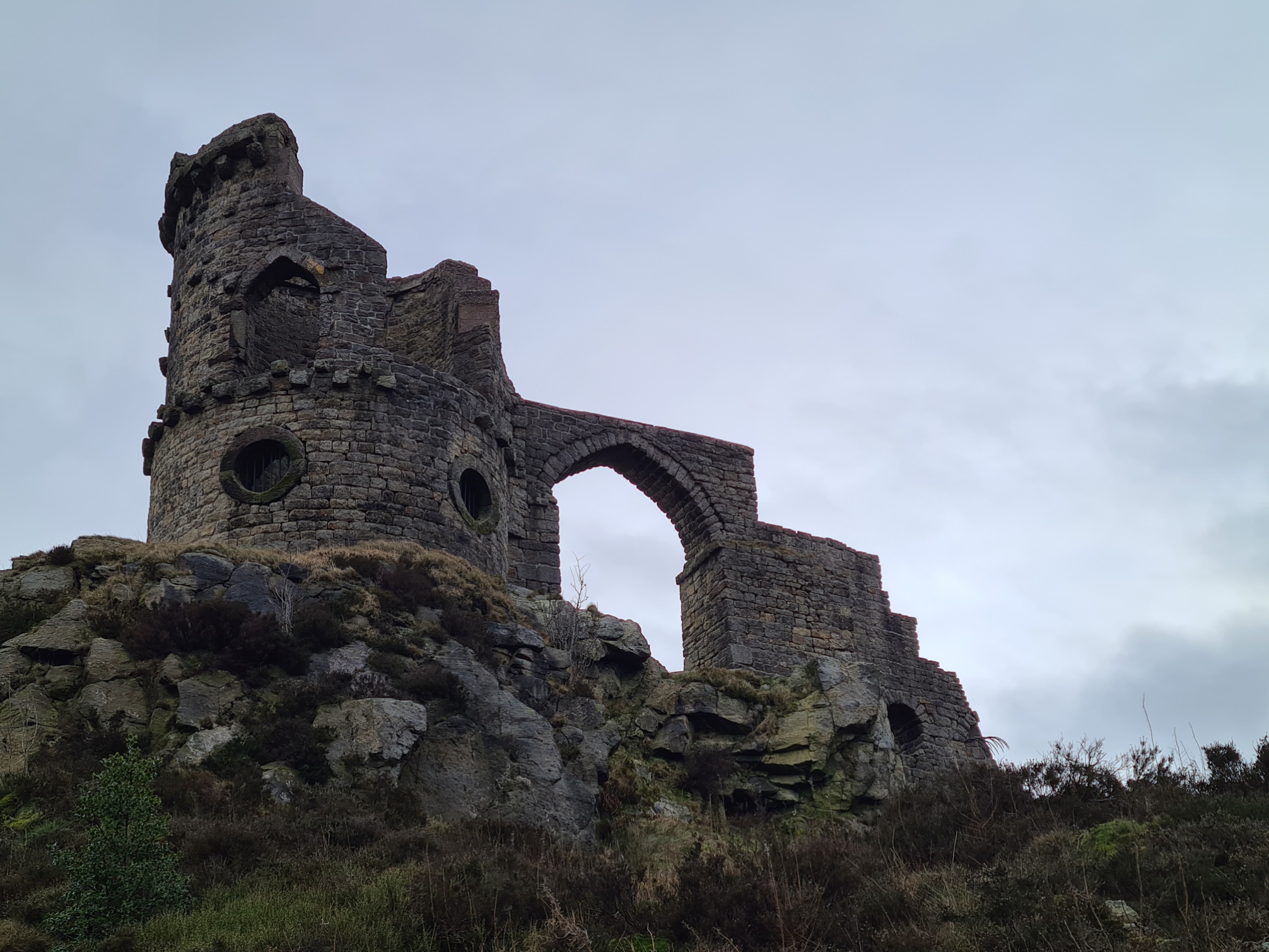
Just before I left this raised trackbed I had the Biddulph Brook down on my left and was delighted to see a pair of Goosander. It is not often I see these ‘sawbill’ fish-eating ducks and they were obviously over-wintering on this sheltered little stretch of water. From there it was a brief(ish) climb to Nick i’ th’ Hill, a dip in the ridgeline from where melt water drained onto the Cheshire Plain during the last ice-age. I also crossed the route of my 2000+ mile walk across Britain in 2018 here, but didn’t recognise anything and wouldn’t have been aware were it not for the line drawn across the O.S. map I was using. This put me onto my final ridge walk of the Gritstone Trail. It is quite pleasant sandy walking until you hit the exposed road leading to Mow Cop. It isn’t for long though and I also had points of interest that justified a few minutes halt. The Old Man of Mow is simply a 20m tall gritstone pillar left standing amongst old quarrying works. As usual, a wealth of local legend has built up around it. Typically, the small folly at Mow Cop, a little further on, was built by someone with more money than sense. In this case, built in 1754 under the orders of Squire Wilbraham to ‘improve’ his view from Rode Hall. I was surprised to read that on the centenary of the Primitive Methodism movement, over 100 000 people gathered here for a meeting in 1907. Special trains were laid on to bring the, mostly middle class, congregation to the isolated location.
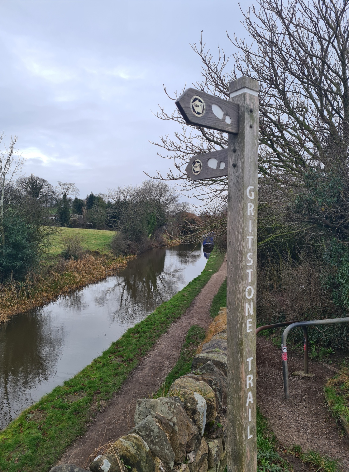
From Mow Cop it is a steady descent off the flanks of the hills, following the route of a long gone tramway, down to join the Macclesfield Canal. The heavens opened again but it was good walking for the final few miles round to Kidsgrove, changing on to the Trent & Mersey Canal en route..

Rather than immediately turn off the canal and up to Kidsgrove railway station where my car was parked, I continued down the Trent & Mersey Canal to see the entrance to Telford’s 2.6km long Harecastle Tunnel, built by over 600 miners and bricklayers for the transport of coal to the Potteries and opened in 1827. Then a return back along the canal, up a few steps, to find my car intact but surrounded by contractor hoardings for some sort of building work being carried out. Having extricated my car, it was on to the motorways and a drive south, arriving home in time for celebratory curry that evening.

In Conclusion
So, how do I rate the Gritstone Trail? I quite enjoyed it. It gives a good flavour of Peak District walking. Ridge walking is limited and you are frequently following a series of slopes and valleys from one hill to the next. When high, if you get fed up with the view of the flat Cheshire Plain to the right, look left to the rolling hills there. It is a good short three day stretch on which to nail down gear and tone up leg muscles and lungs on some longer ascents and descents. There are cafes passed occasionally but these can be seasonal and hours change so it is best not to rely on them. I never used any. The trail is short enough that provisions can be carried for the whole length and water is often passed, never more than a hour or two away, for filtering and replenishing.
Though well signposted, taking a map of the route would be wise. I carried a compass but never looked at it. Wildcamping is pretty easy but you do need to keep yourself hidden away as the best places are also the most visited by the public. I walked the Gritstone Trail over three days in a wet and snowy February with temperatures hovering around and just above freezing. This is not the best time of year to walk this trail and colder conditions and frozen ground would be easier for a winter walk. Or alternatively spring, summer or autumn would all be more enjoyable. A downloadable leaflet showing the trail can be found here. In total, my Gritstone Trail comprised some 36 miles and 6072 feet of ascent. Each days route can be seen here:
- Day one- Disley Railway Station to Macclesfield Forest. 13.81 miles, 2793 feet of ascent
- Day two- Macclesfield Forest to Cloud Plantation. 11.82 miles, 2259 feet of ascent
- Day three- Cloud Plantation to Kidsgrove Railway Station. 10.35 miles, 1020 feet of ascent
Three Points of the Compass does not always blog on the trails walked. Links to those that have been covered can be found here.

As always, an interesting read. You are certainly not a fair weather walker.
Why is the canal orange?
LikeLiked by 1 person
Thanks for your comment Jen. Some of the best walking is to be experienced ‘out of season’- quieter trails, different colours of nature and it is always good to test yourself in more difficult conditions. Though it is wisest to build a skill set in warmer and easier conditions first. The lovely deep orange colour of the Trent & Mersey Canal is due to iron ore leaching in to the water where it is held in suspension. Much of this is likely entering the canal from the now unused and internally damaged Brindley Tunnel.
LikeLiked by 1 person