Over the winter of 2015/16 I completed the London LOOP. This is the ‘London Outer Orbital Path’ – a 150 mile signposted path that encircles our capital city. It is a mostly undemanding walk that I used to test myself while I continued to slowly recover from the Plantar fasciitis that developed in February 2015. While I am still struggling to recover, I have been able to push, slightly, the number of miles that I can complete on a daily walk.
 As a winter walk, perhaps not surprisingly, I found the LOOP often very wet and muddy. On occasion, I was wading through knee high water or laboriously and with great difficulty, negotiating calf deep mud through horse paddocks and cow fields, where I struggled to keep trail runners on my feet. Much as I enjoyed getting out and some unexpected history, I found, away from the rural stretches, there was also bit too much road walking for my liking. As I moved toward the completion of my LOOP walk in early 2016 I looked for a similar challenge, more suited to my circumstance. and was delighted to come across a post by hillplodder in January 2016. It was here that I first heard of the London Countryway– a ‘forgotten’ route.
Old copies of the, as far as I can see, only printed guide to the London Countryway still turn up online and are fairly easily purchased. This is A guide to the London Countryway, published by Constable and authored by the routes originator, Keith Chesterton. The guide was first published in 1978 with a second edition in 1981 (ISBN 0 09 461740 6). It is the latter that I hold.
Good enough as this is to read, too many years have passed and it is no longer a practical route. Fortunately, a resourceful guy has solved the problem. Des de Moor, a prolific walker, has devised and walked a modern equivalent. Much of it follows the original route as devised by Chesterton, however Des has ensured that his up to date route diverts where necessary to avoid hazards or obstacles that have appeared in the intervening years, or where a slight change can improve the route. Des has done a fantastic job on his route and it was a simple ten minute task to transfer his work to my O.S. sheets with a pink highlighter.

1981 edition of Keith Chesterton’s ‘A guide to the London Countryway’ with OS Explorer sheet 160, covering Windsor, Weybridge & Bracknell
 The walk passes through three Areas of Outstanding Beauty, two National Nature Reserves, two Community Forests, a Regional Park, crosses the Thames east and west of London and follows (briefly) three canals. I have passed through Windsor Great Park in the shadow of the castle and will be walking through Roman Verulamium, quite close to my childhood stomping grounds. Set further out than the London LOOP, the London Countryway is somewhere over 200 miles long. The original was 205, the recent incarnation is quoted at 215. I can add on a few miles for station links and interesting detours. Sections are limited in length to how much time I can offer a day and where convenient railway stations are situated. Much as I would like to push it out, I keep having to remind myself I am recovering from injury.
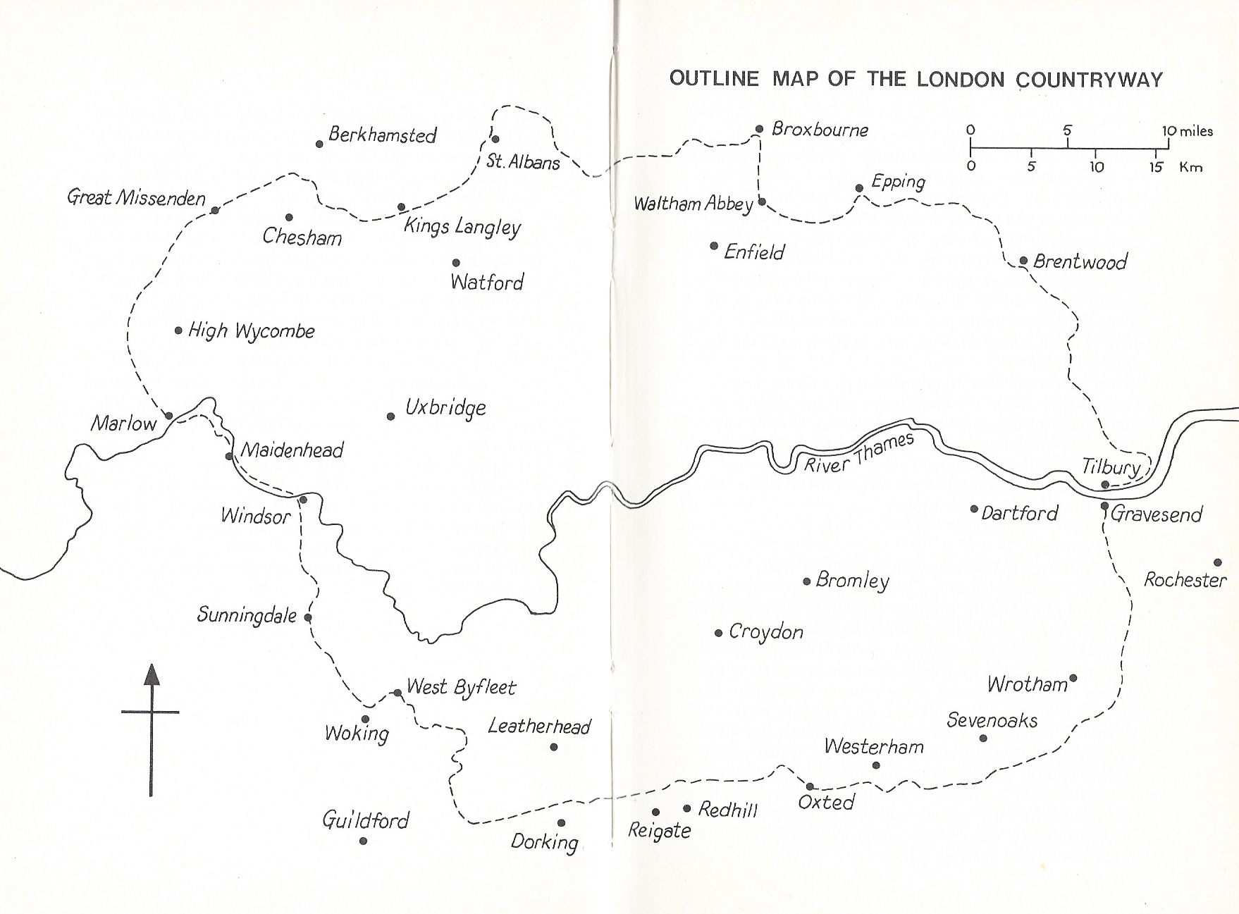
The London Countryway map as it appears in the Constable guide. My path follows a very close route
I did find time to take a week off from work in June and complete the Ridgeway. That was a 106 mile, six-day backpacking trip and slightly eased my need for, a slightly more demanding, continuous walk. I haven’t been able to tackle the London Countryway in this manner. With demands of work and having to keep my day hikes quite short.
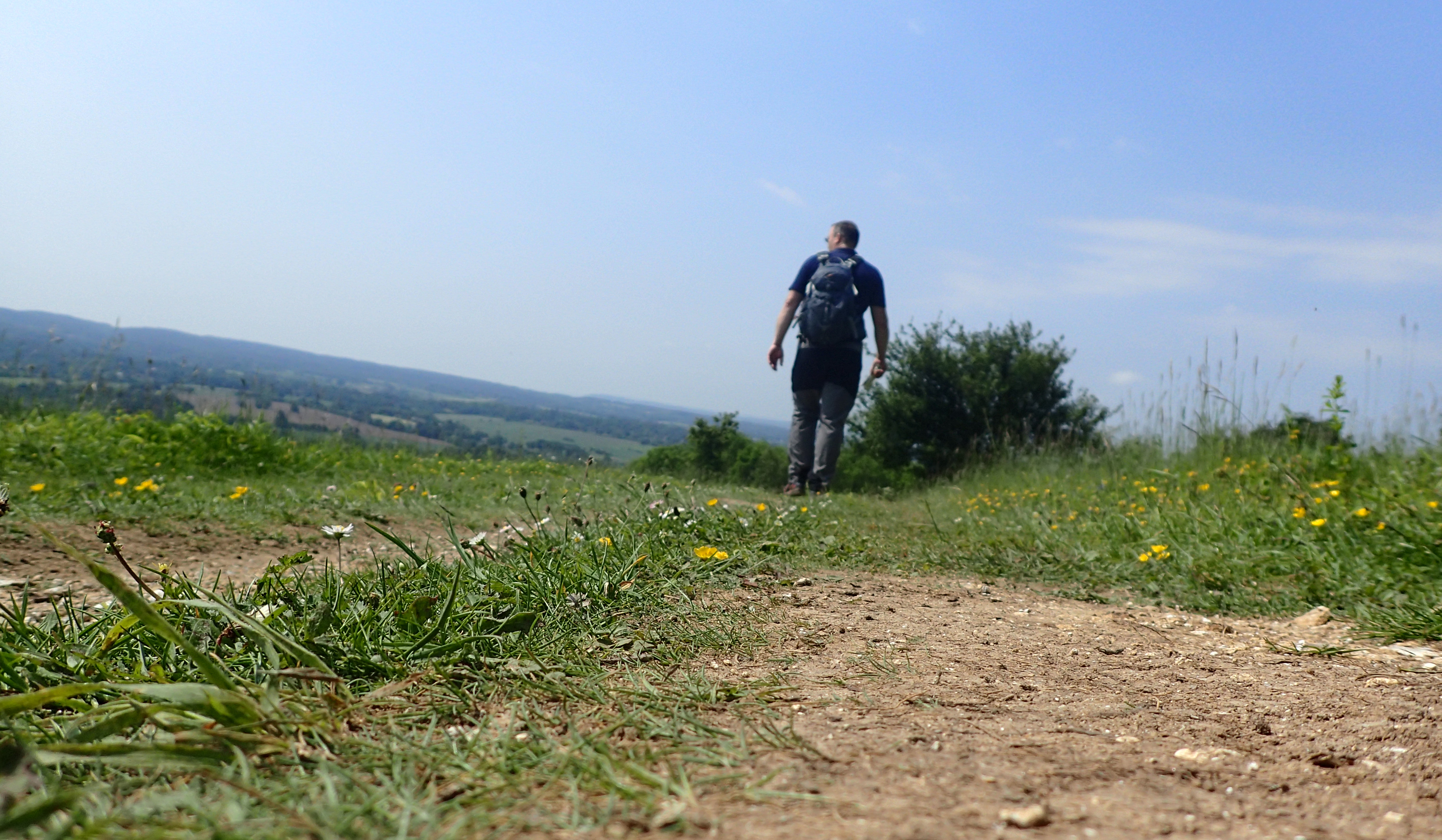
My 14.5 miles on the Countryway today have seen me complete just over a hundred miles so I can say that I am roughly half-way to completion. At Marlow, I left the River Thames behind me as I headed north to continue my encircling of London. I thought I would offer a little flavour of the trail south of the river.
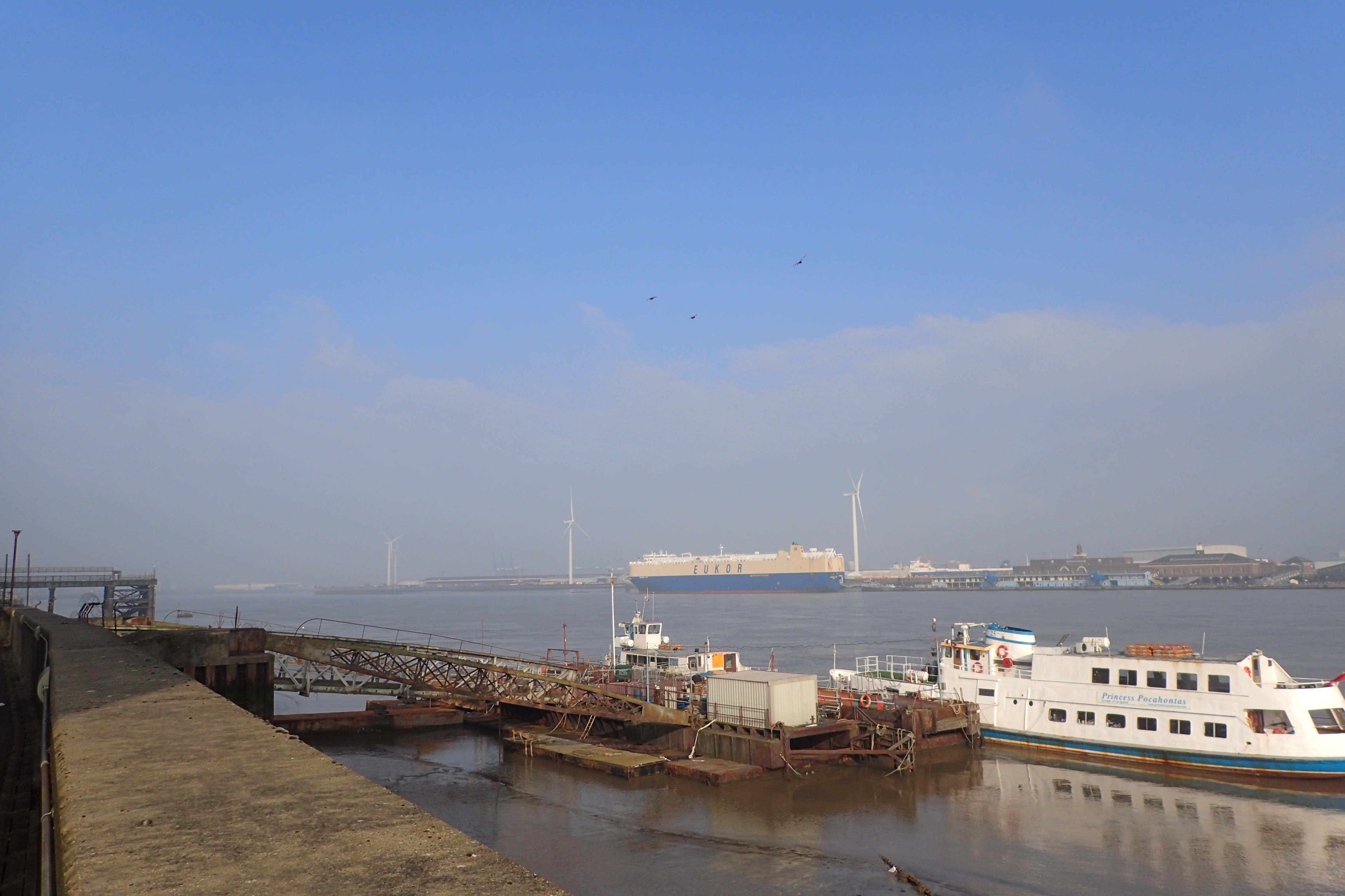
Leaving the wide River Thames at Gravesend, I will be crossing back to this point by ferry at the end of the walk

Oast Houses, once used for drying hops. They are a reminder of one of the the trades for which much of Kent was famous
I started this particular challenge in March, day one saw me setting off from Gravesend in Kent. I waved goodbye to the River Thames, knowing I would see it twice more- once when I crossed it at Windsor at around the half-way point, and again at Tilbury at the end of the walk. It wasn’t long before I left built up areas and my surroundings became more rural, albeit farmland. Mostly arable and orchards. I was headed toward the North Downs, I followed this ridge westward from Kent into the Surrey hills. Leaving the ridge of raised chalk, I swung northward, beginning the long drop into the Thames Valley.

Kent Apple Orchards. March 2016

Flooded bridlepath in mid March
Needless to say, the weather has been changeable, not only have I moved out of a late winter, into spring and then to summer, the earlier part has also been a ridiculously wet year in the UK. I have been fortunate not to have had to deal with more than occasional rain but underfoot has frequently been very wet and muddy. In just one days walking I had snow, then sleet, then hail, then bright sun, then rain and finished off with dull and overcast sky with a biting cold wind. Storm Katie also left fallen trees in her wake. Recent days have seen brilliant sun all day.
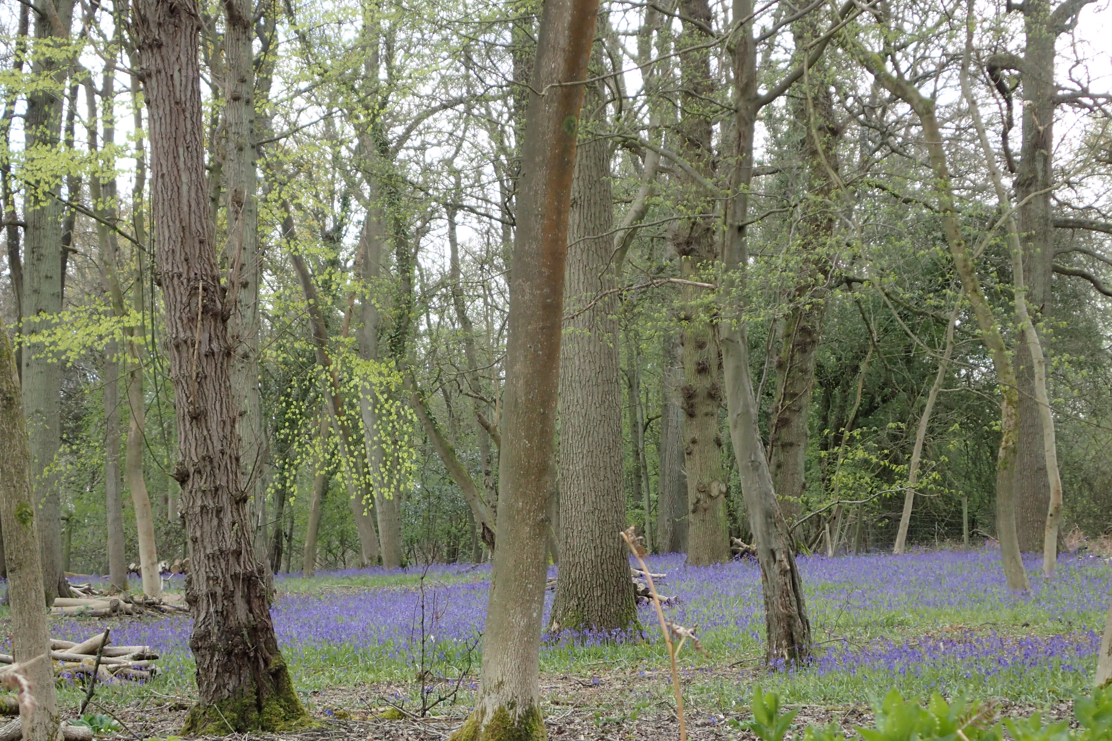
The seasons turn- Bluebell woods on the North Downs Way, April 2016
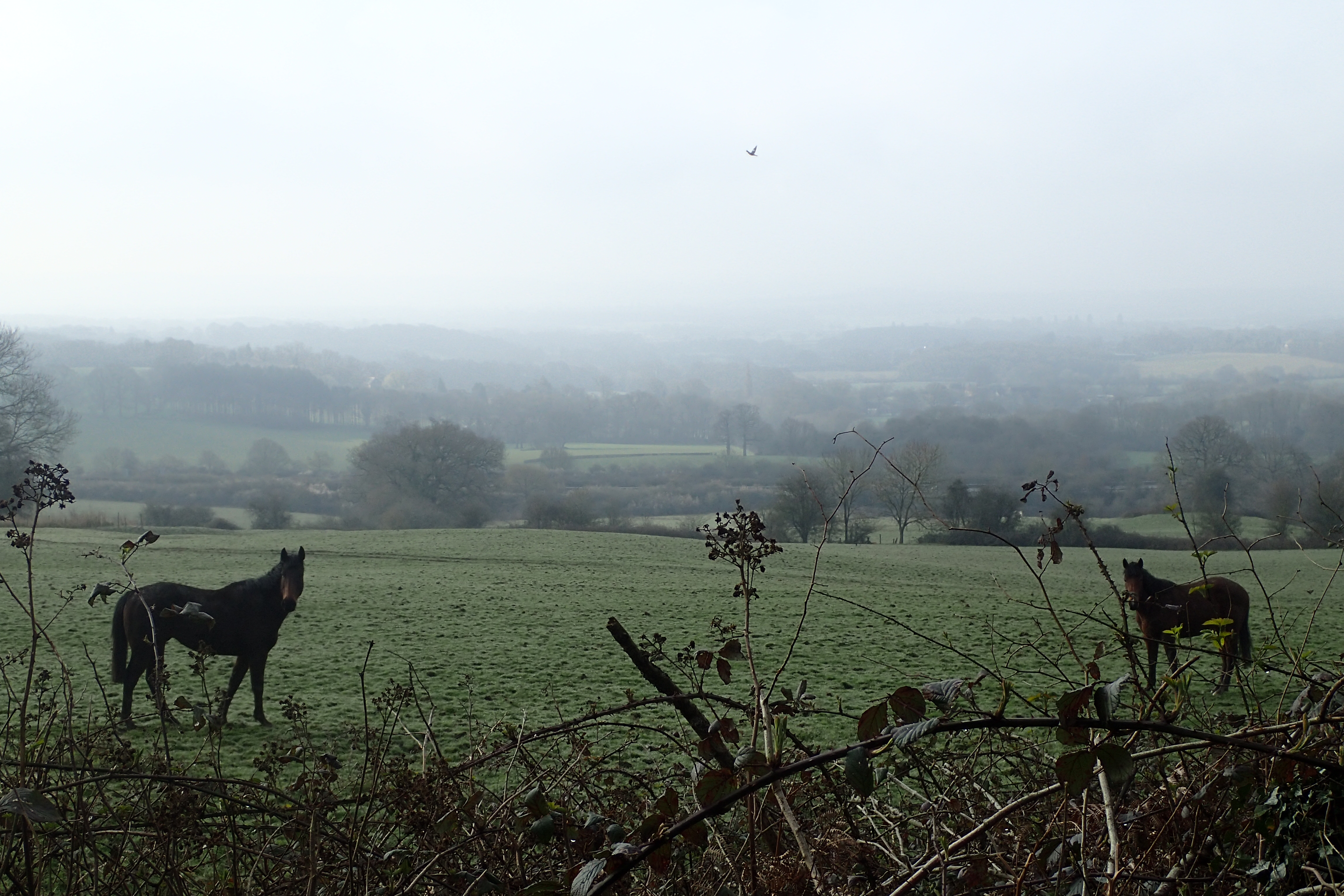
Misty view across the Weald of Kent from the Greensand Way, just one of many established trails encountered on my route
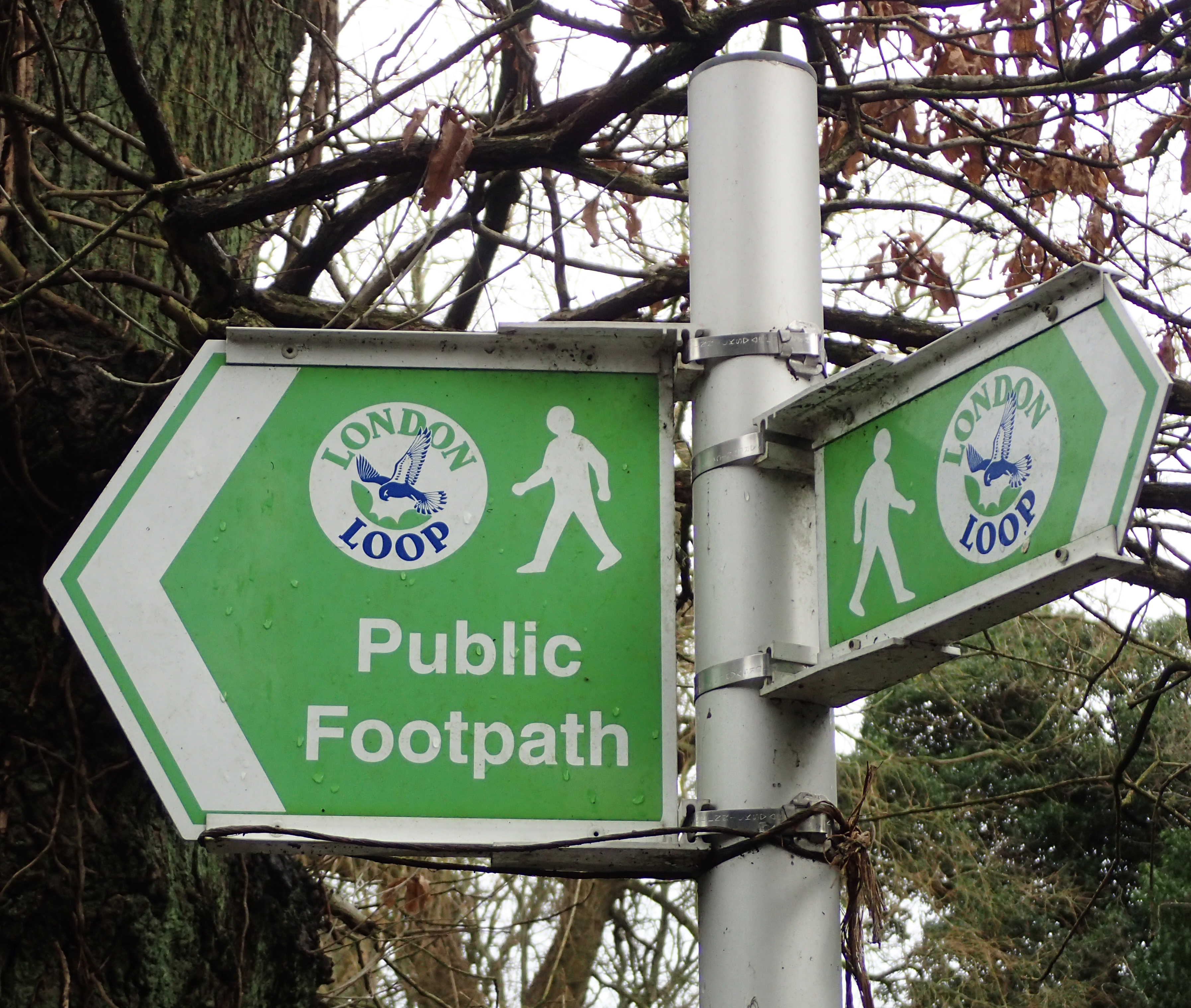
The route touches a number of recognised and established trails in its course. So far, these have included the Wealdway, North Downs Way, Pilgrims Way, Vanguard Way and numerous short, local walks. Being a largely forgotten route, it isn’t specifically signposted at all, nor is it shown as a route on maps. I am especially pleased about this as for many miles, I am simply following Rights of Way seldom used by anyone.
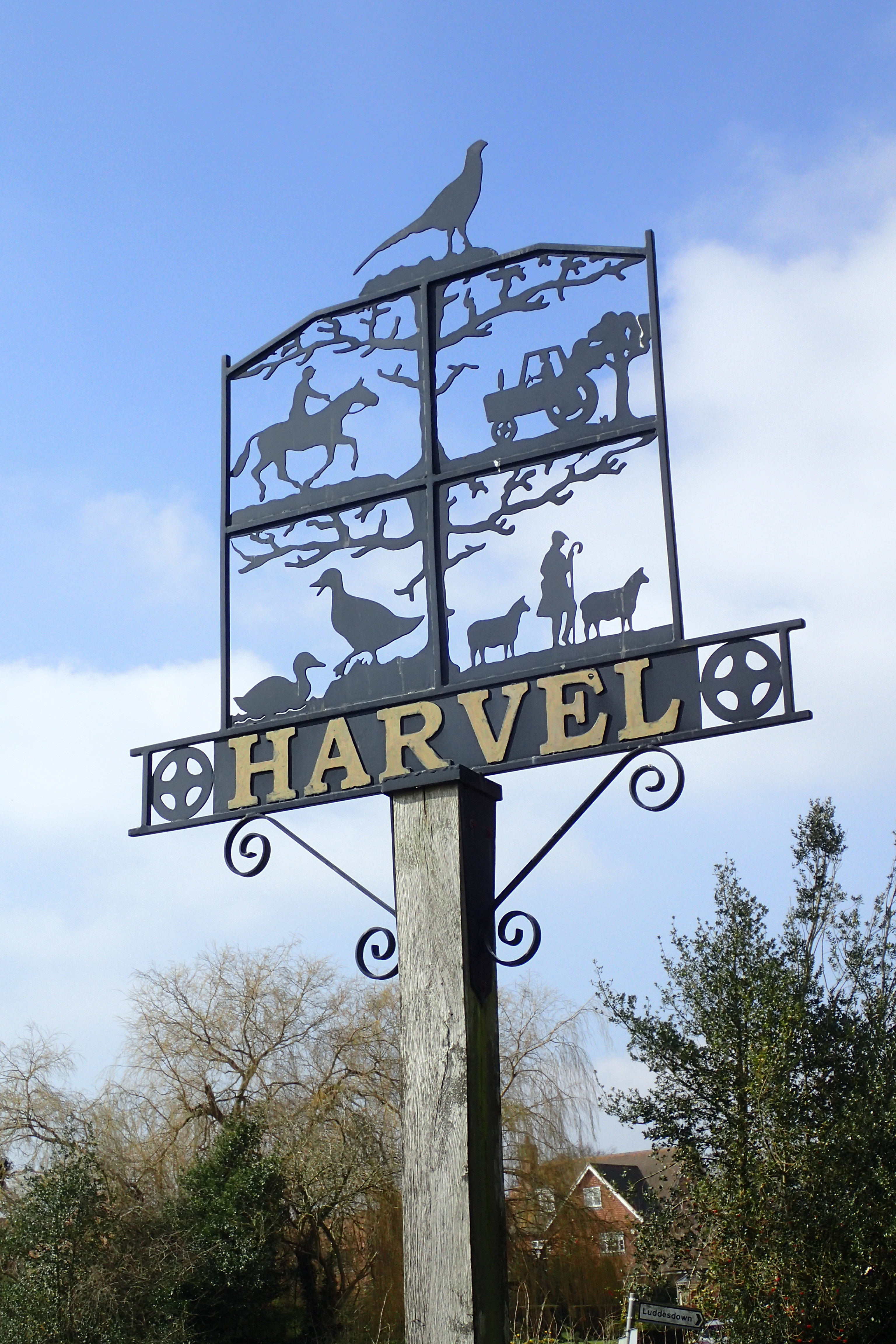
Harvel village sign
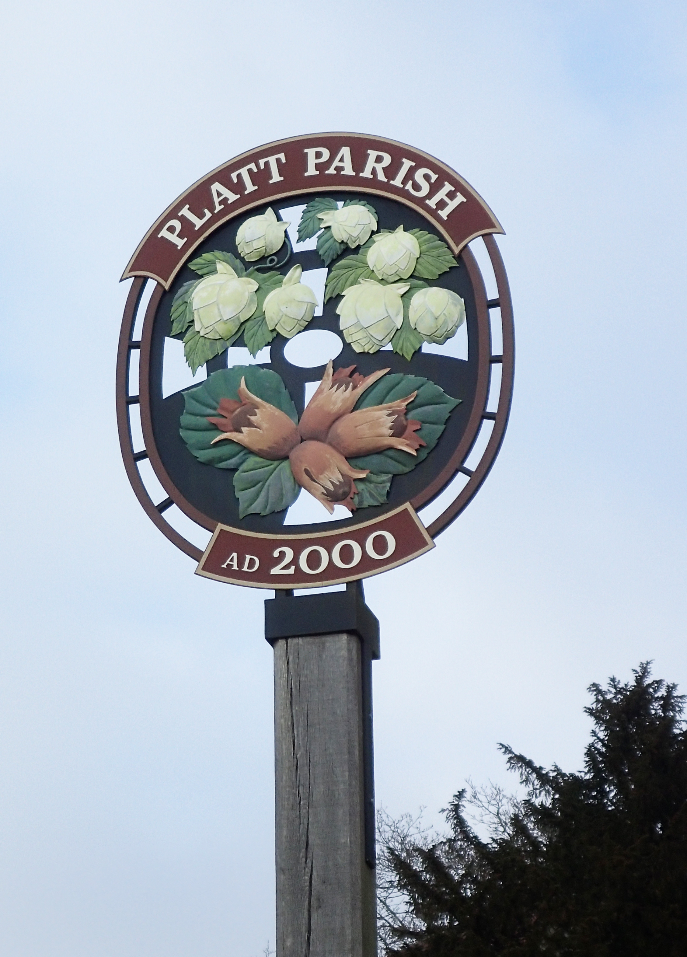
Platt village sign- Hops and Cobnuts
Many Rights of Way are pretty old, having originally been established to permit people to move between habitations, go to church or market. The Way goes past or through numerous small villages or hamlets. There is usually nowhere to re-provision at these (not that I need to) as most village shops have long gone, killed off by the omnipresent town supermarket. However there are many public houses but I have largely refrained from partaking of a beverage or two until the end of a days walk. Even then, it depends if an infrequent Sunday train service permits time.
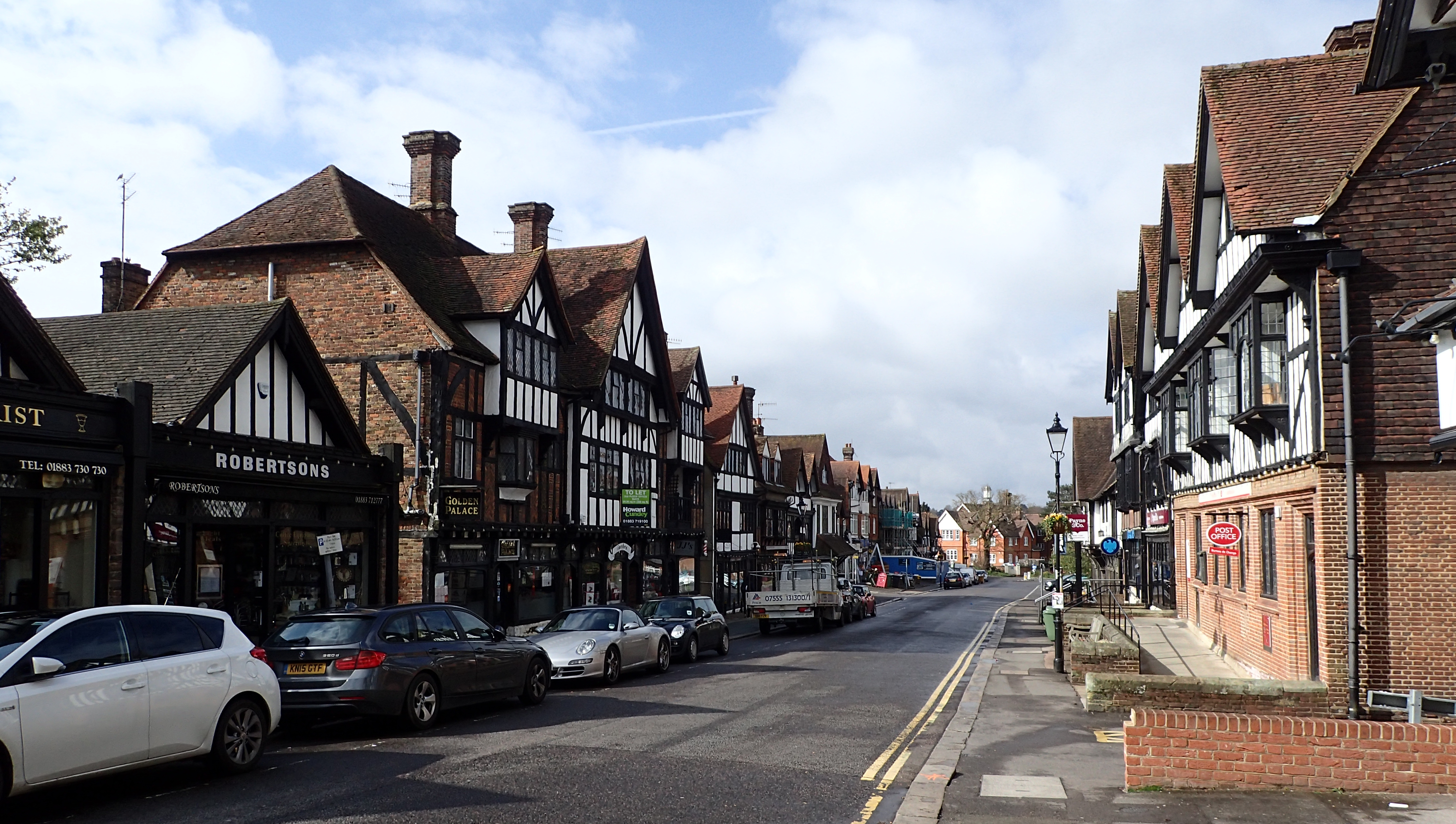
Most mid to large sized towns are encountered at the beginning and end of each days walk as I arrive or leave by public transport. Station Road, Oxted

Close to the Pilgrims Way in North Kent the London Countryway passes by Coldrum Long Barrow. A Neolithic burial chamber of about 2500 B.C. It still attracts the attention of more modern day folk, who have adorned the nearby trees with trinkets, ribbons and letters

Abandoned tower in Betchworth Quarry and Lime Works, closed in the 1930s
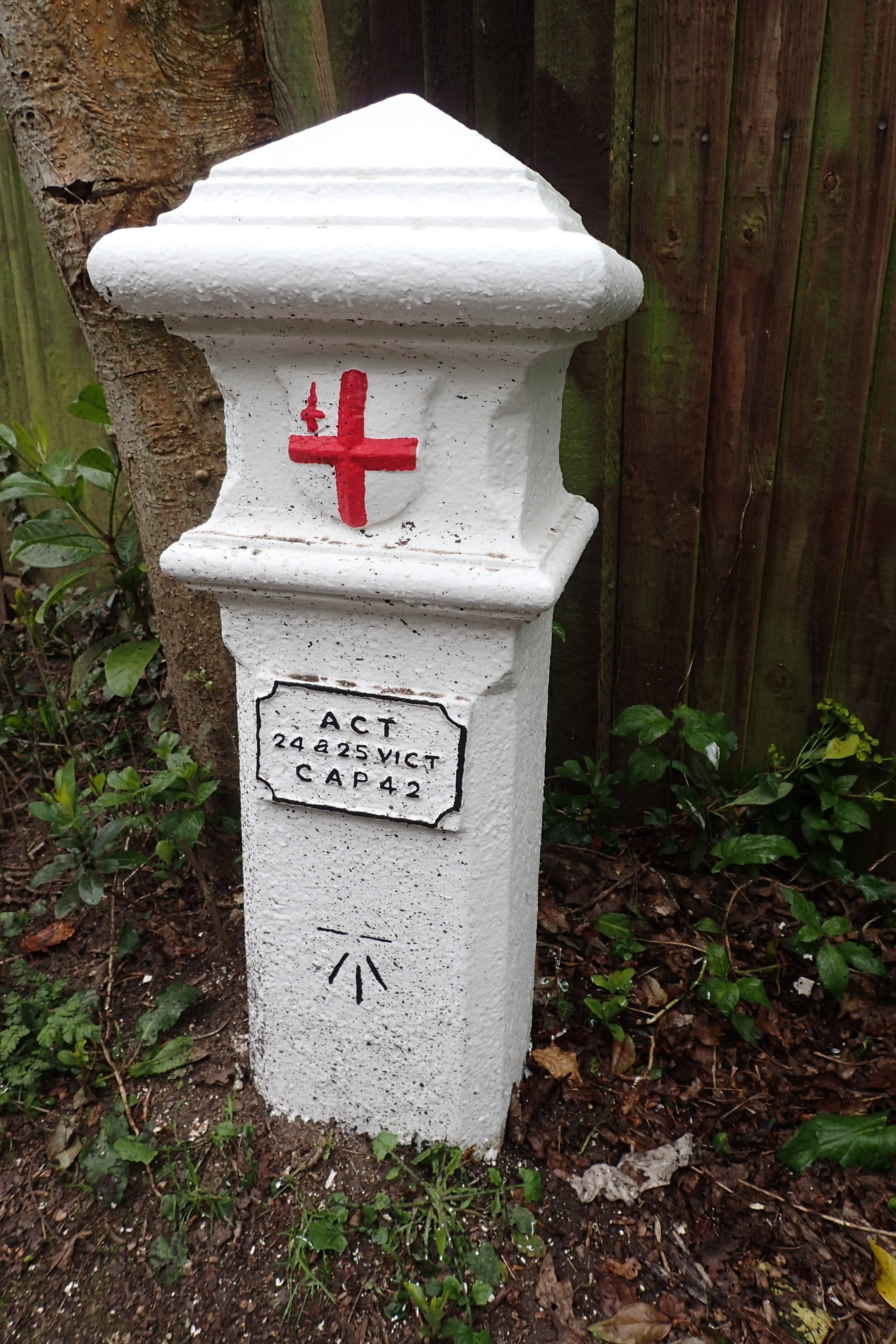
Coal Tax boundary post. Erected in the 1860s as a loop, between twelve and eighteen miles from London, they marked the point where taxes on coal were due to the Corporation of London. Now forming no modern day function beyond a reminder of previous law, only 210 of these posts survive
I particularly enjoy coming across snippets of history on my walks. Especially when unexpected.
Some historical aspects are perhaps a little less interesting than others. Learning that I was crossing Reigate Hill Footbridge, the oldest reinforced concrete footbridge in the country (1910), left me, I am sad to say, largely unimpressed. That said, to stand beneath Brunel’s acclaimed 1838 Maidenhead rail bridge today, clapping my hands to listen to the remarkable acoustics of the ‘Sounding Arch’ was not only fun, but bought to mind JMW Turner’s masterpiece- Rain, steam and speed which used this bridge within his composition.

Poles were often advisable in April on the wet, slippery grasslands

Gorse in flower. The way ahead beckons. Leaving Ide Hill on the London Countryway in April 2016

Halibut Man, on Totem Pole at Virginia Water. 100 feet high, this 600 year old log of Western Red Cedar was carved by Kwakiutis and erected in 1958 to mark the centenary of the establishment of British Columbia as a Crown Colony

Memorial on Chobham Common, erected 1901. This marked the site and occasion when Queen Victoria reviewed eight hundred of her troops (including the Light Brigade) in 1853 prior to their leaving for the Crimea
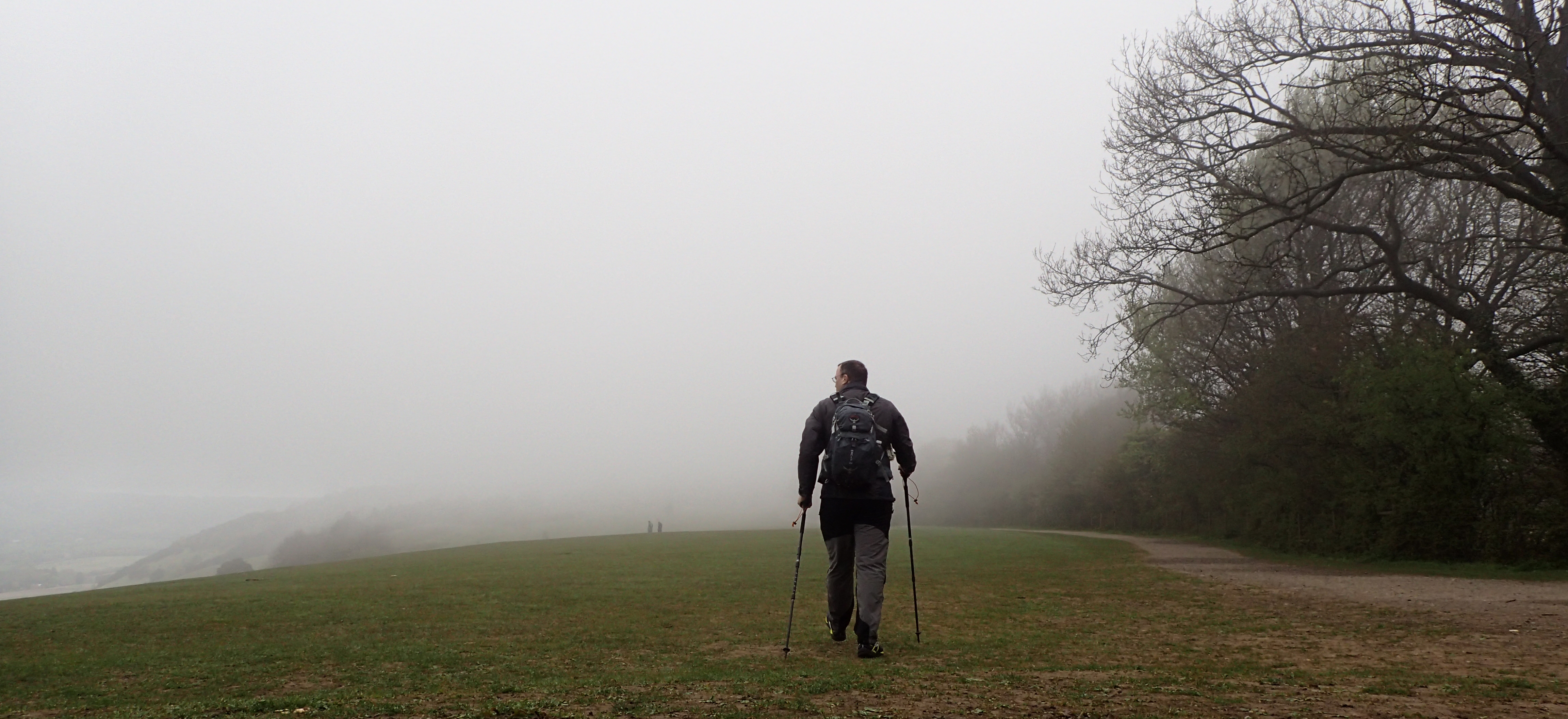
Misty morning in May on the Surrey hills
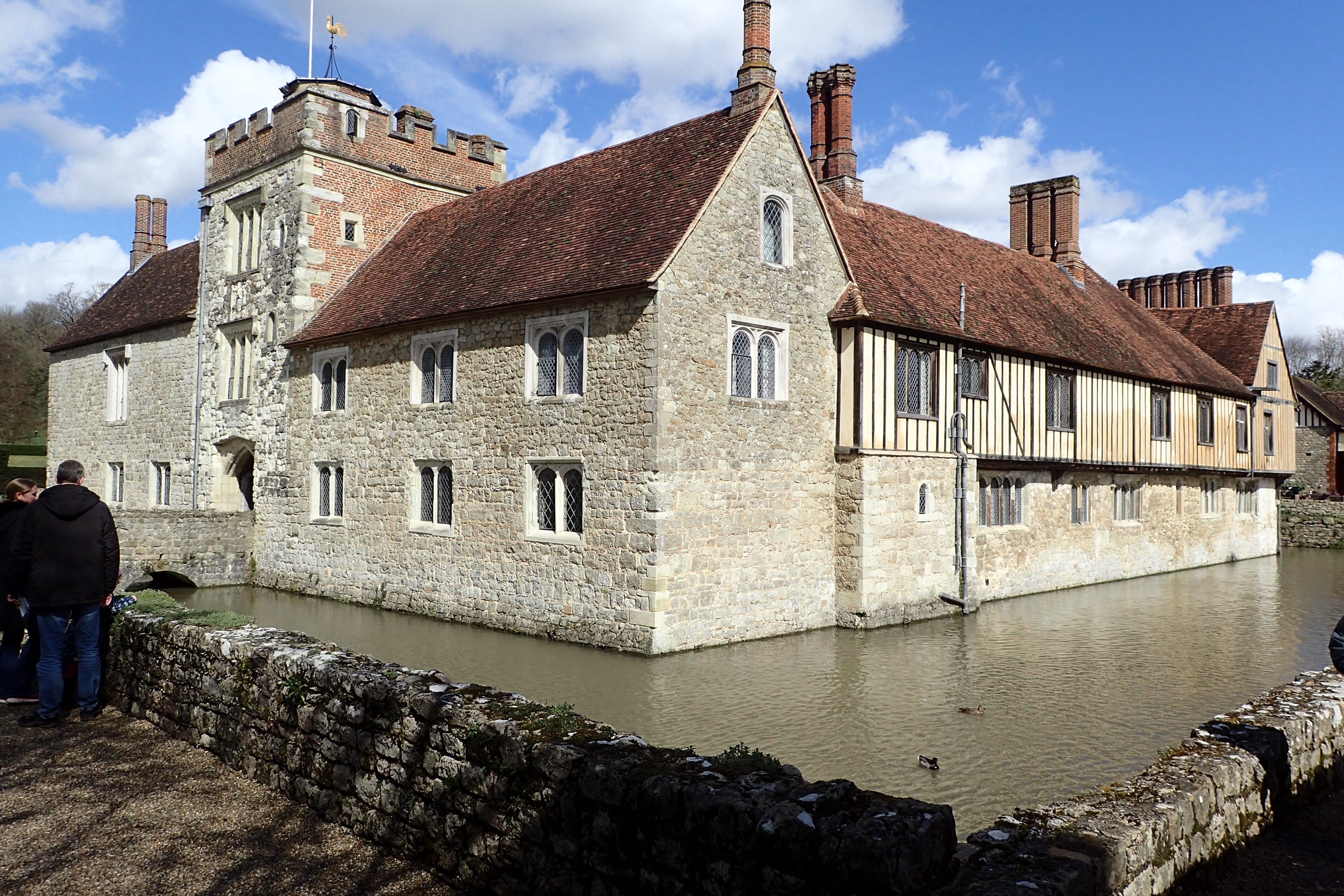
The route passed right by Ightham Mote, 14th-century moated manor house
Traversing Blatchford Downs. Named after Alan Blatchford, one of the founders of the Long Distance Walkers Association

The extensive grounds of the 1000 acre Knole Park in the early morning were a delight
While I have had to fight my way through a handful of overgrown paths, for the most part the route has been easy, with just a few moderate to steep climbs. Some parts have been positively genteel. I carry a compass, I always do, but there has never been the need to put it to use. Route finding with a map and knowing where the sun is over the shoulder has always been sufficient.

Unsurprisingly encounter in Knole Park- Kent’s last medieval deer park
After the rich, loamy soils of Kent, the sandy heaths of Surrey made for a change in terrain. Chatley Heath, June 2016

Primrose (Primula vulgaris)
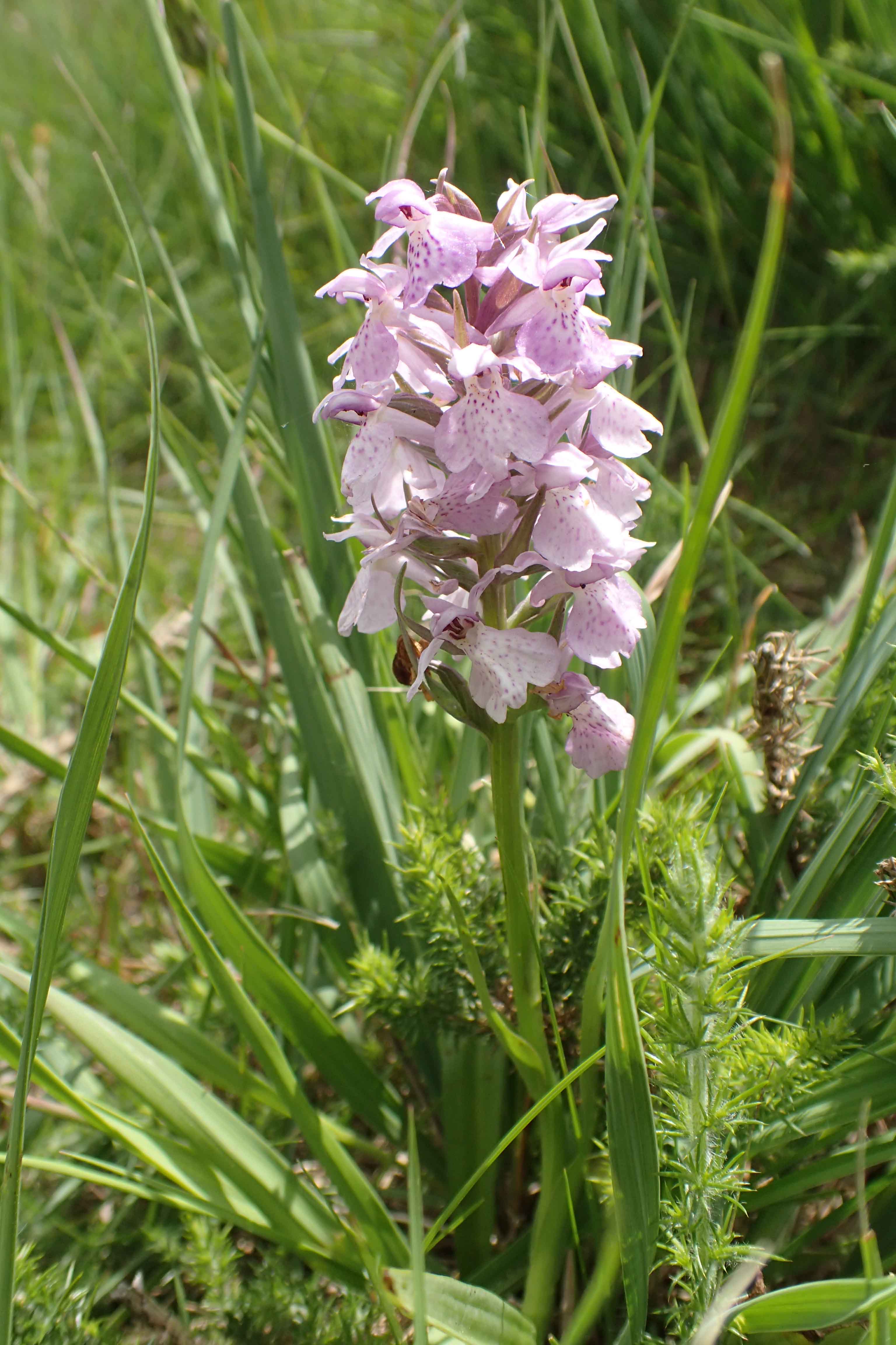
Southern marsh-orchid (Dactylorhiza praetermissa)
The wildlife encountered on the London Countryway has been varied and both expected and surprising. Annoying mozzies have (as yet) been absent. Mammals have been the typical- rabbits, hare, foxes, badgers, deer. More exciting birds have been the raptors- Kestrel, Sparrowhawk, Buzzard, Red Kite. Flora has become more varied as the year has turned. There has been both the common and the, in my continued ignorance, unfamiliar, many flowers remain, sadly, un-named but still enjoyed.

A poorly named hill
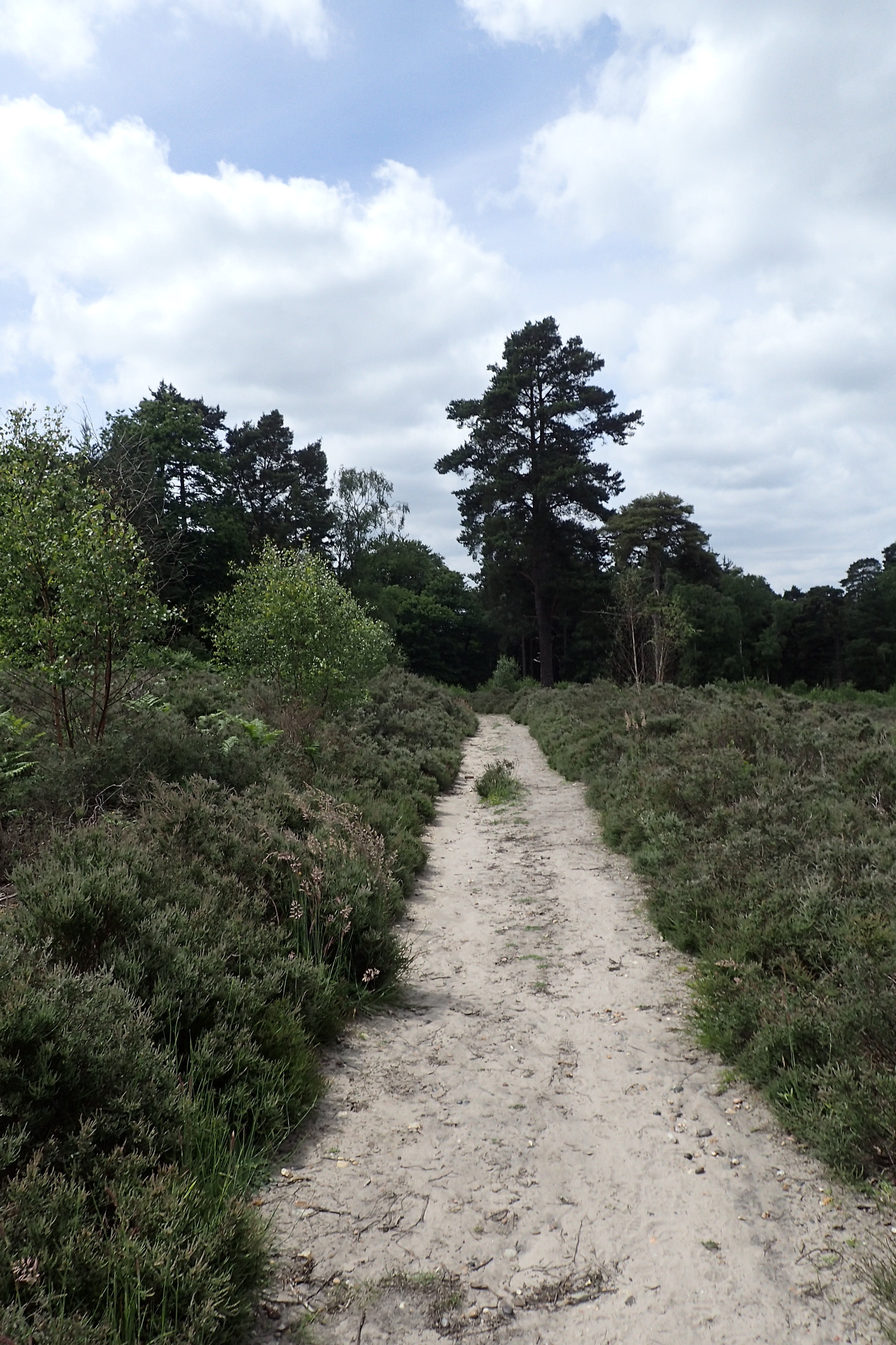
Woodlands have changed from bare trees in the earlier part of the year to the verdant green of Broadland woods with their English Oak, Beech and Chestnut. There have been Lowland Mixed deciduous woodlands and even the odd non-native Pine Woods have not been too intrusive. Needless to say, this close to London, there have been numerous stretches of wood-pasture and Parkland.
Odonata (dragonflies and damselflies) have included walking through hundreds of Azure Damselfly (Coenagrion puella) on the Basingstoke Canal and quiet minutes watching the impressive Emperor Dragonfly (Anax imperator) seeing off any intruder over its habitat on Chobham Common. Domesticated livestock has included new born lambs. ‘Belties’ (Belted Galloways) and Heavy Horses are always a pleasure to see. Walking mainly on Sundays, I have seen enough breeds of dog being taken for ‘walkies’ to last me a lifetime.
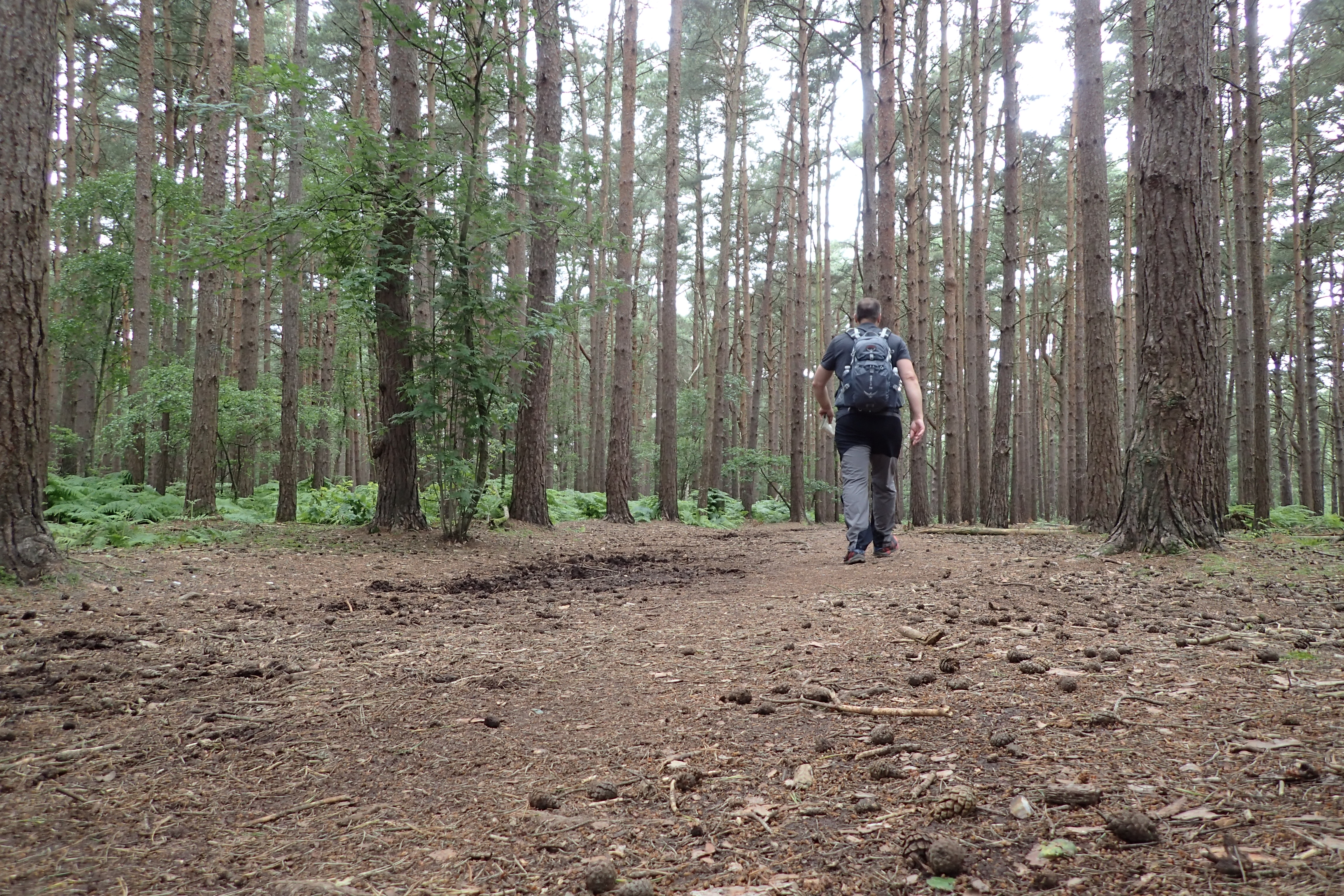
Pine woodlands between West Byfleet and Sunningdale. June 2016

Despite being a walk through the countryside, national politics were still encountered. In the build-up to the 2016 national referendum on membership of the European Union, the Leave faction was only to evident

Two canals have been briefly followed so far, the Wey Navigation and the Basingstoke Canal (above). I particularly enjoyed the latter as I briefly worked on its restoration in the 1970s
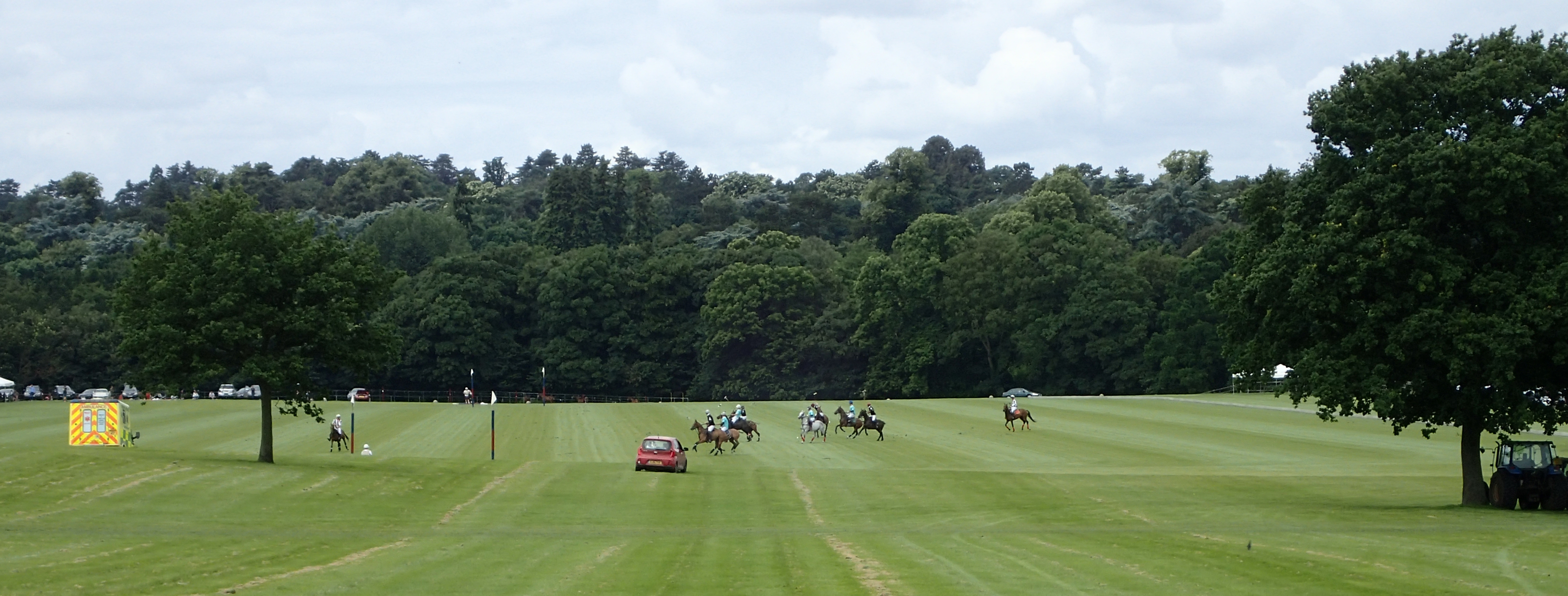
The wealthy heartland of the former county of Berkshire. Polo match at the 240 acre private equestrian centre, Coworth Park, Ascot
Some of the areas I walked through on the London LOOP were, to put it mildly, a tad ‘dodgy’. As yet, the Countryway has been far more preferable. While my current stretch to the west of London contains land and properties probably amongst the most expensive in the country, other parts have been more typical of the, admittedly affluent, South-East of England.

The ‘Copper Horse’. This huge statue (actually made of Bronze) by Richard Westmacot shows George III as heroic Roman Emperor on Horseback. When the sixteen workmen finished building it in 1831, they had a sit-down lunch inside it

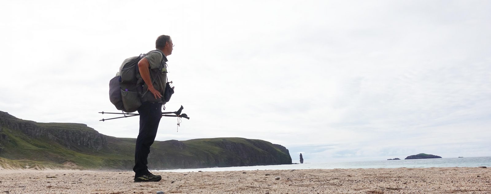
Three Points of the Compass setting off on the ‘Long Walk’, a 2.64 mile straight path leading to Windsor Castle, and my second sight of the River Thames. July 2016
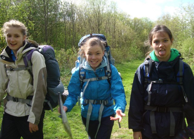
Overnight expedition for group of Duke of Edinburghers
I am enjoying my days on the London Countryway. It has been exactly what I wanted- mainly fairly easy going where I can continue my recovery from Plantar fasciitis, but not too easy. Interesting bits of history thrown in, areas through which I have never walked, manageable by public transport and therefore ‘do-able’ on my available Sundays.
Also, just for a change, I decided to make it a charitable exercise and in the diamond year of the Duke of Edinburgh Award, raise some money. This is a fantastic organisation that gives millions of 14 to 24 year olds opportunity to push themselves and realise success. I never undertook it as a youngster but my daughter did when she was at school. While I think the DofE’s required kit list for the expedition part of the award is outdated and more than a little wanting, the award’s ethos is good.
Entitled Confronting the Countryway, there is a record of how I am getting on, with some additional photos, on my Just Giving page. I’ll do an update on the second half of my walk when I finish it.
Three Points of the Compass does not always blog on the trails walked. Links to those that have been covered can be found here.

3 replies »